137 guides
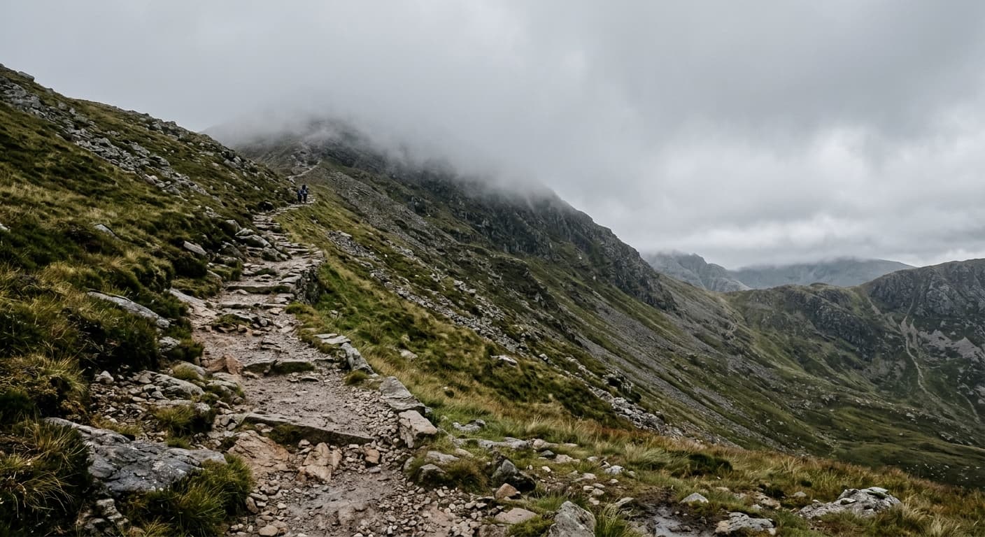
Ben Lawers via Beinn Ghlas: National Trust Route Guide
Climb Ben Lawers by the classic National Trust route, crossing Beinn Ghlas twice on a high-level out-and-back through the mountain reserve.
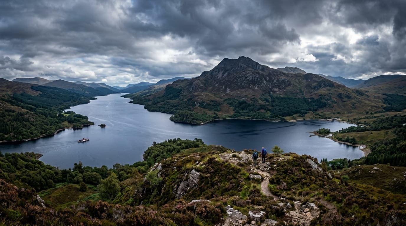
Ben A'an from Loch Achray: Trossachs Route Guide
Follow the steep classic path from Loch Achray to Ben A’an’s rocky summit for one of the Trossachs’ best views in a compact out-and-back walk.
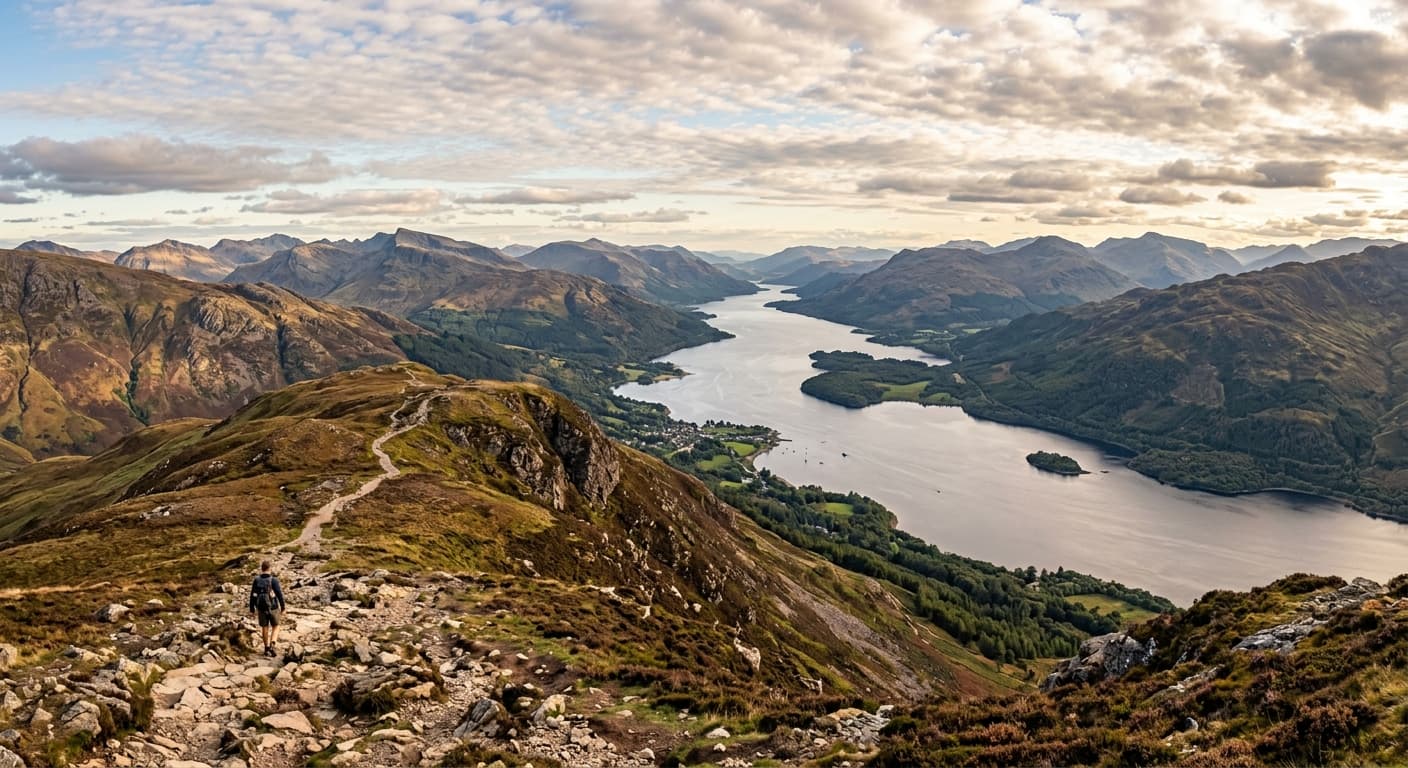
Ben Lomond via the Rowardennan Mountain Path: Route Guide
Climb Ben Lomond on the classic Rowardennan Mountain Path, following the broad Sron Aonaich ridge from Loch Lomond to the exposed summit.
Beinn Bheigier from Claggain Bay: Islay Route Guide
Climb Islay’s highest hill from Claggain Bay, following the river track before a rough pathless ascent onto Beinn Bheigier’s southeast ridge.
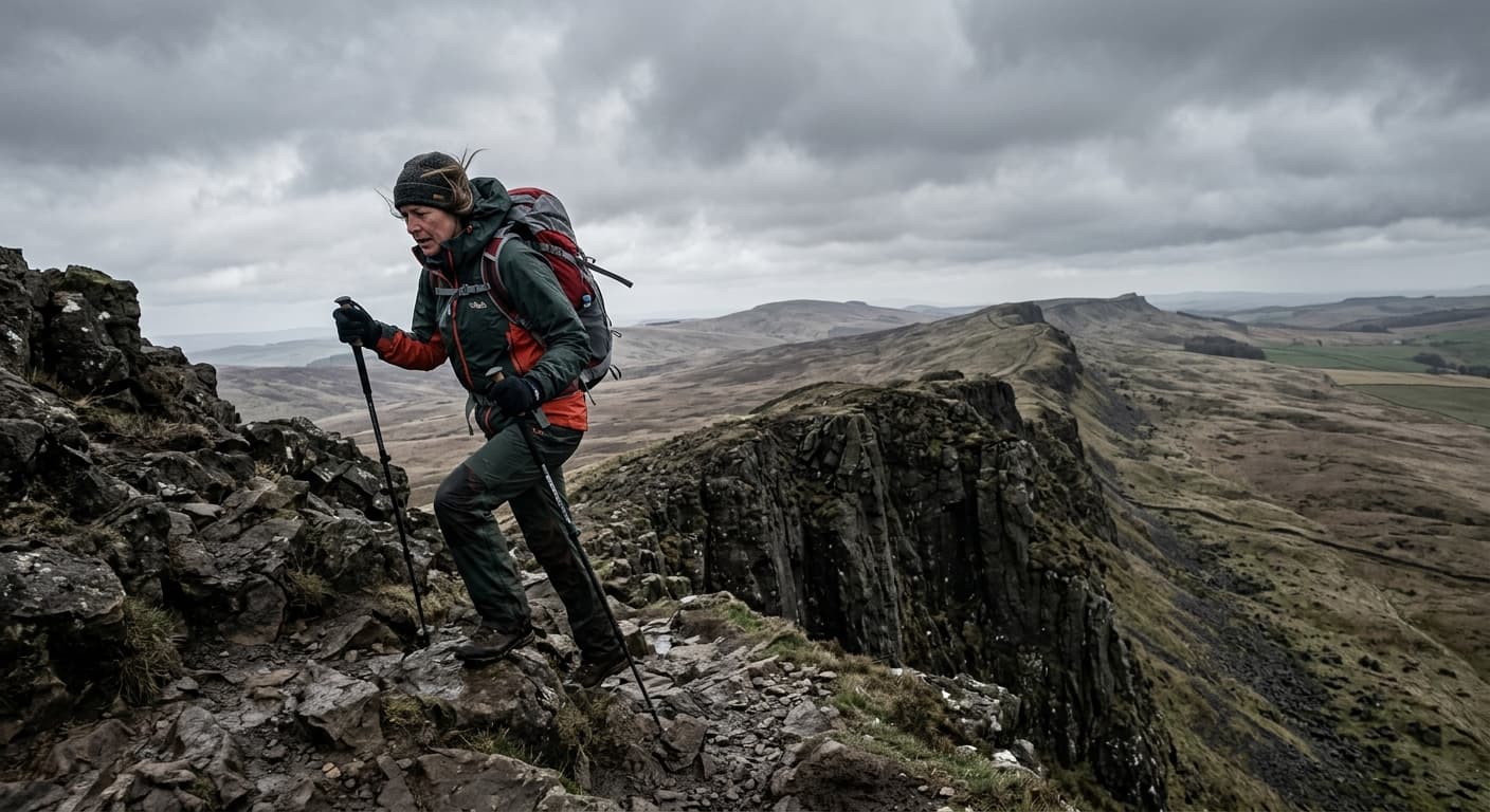
Hadrian's Wall Path: Wallsend to Bowness-on-Solway
A 137.9-kilometre National Trail following the line of Hadrian's Wall from Segedunum at Wallsend to the Solway coast at Bowness, with 1,040 metres of ascent through industrial edges, pastoral farmland and the exposed ridge country of the central Whin Sill.
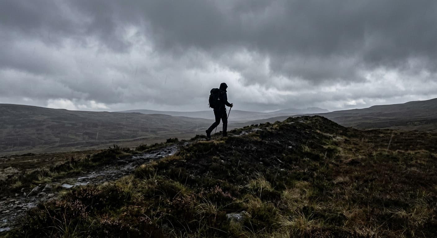
Cambrian Way: Cardiff to Conwy
A 486.6-kilometre mountain journey from Cardiff Castle to Conwy Castle, crossing the highest ranges of Wales with 17,475 metres of ascent and no promise of waymarks when you need them most.
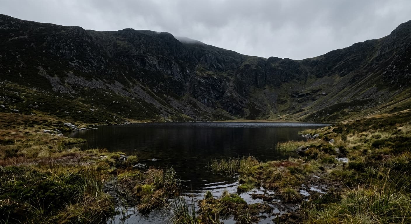
Cadair Berwyn via Pistyll Rhaeadr: Route Guide
Climb Cadair Berwyn from Pistyll Rhaeadr, passing Llyn Lluncaws and Moel Sych on a steep route to northeast Wales’s highest summit.
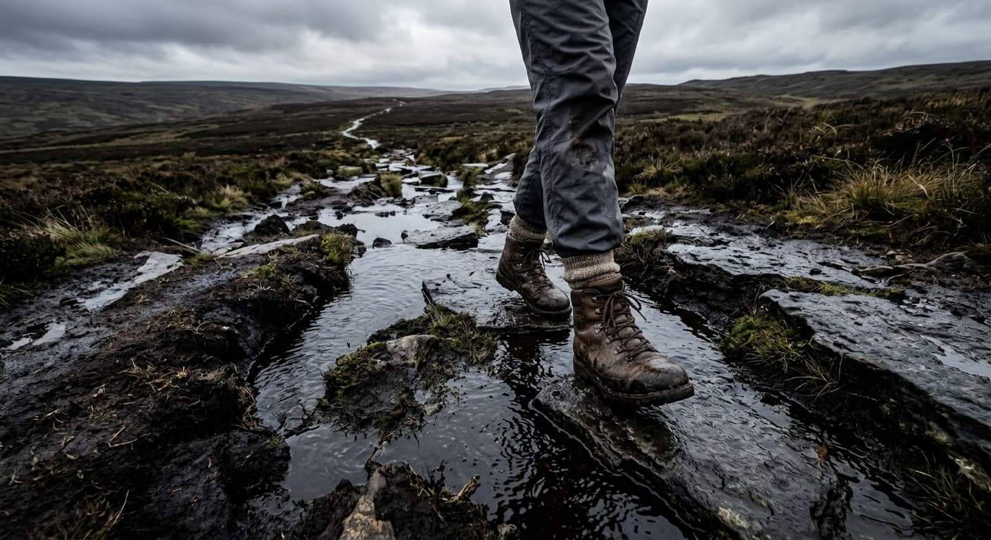
Cross Fell from Kirkland via High Cap: Route Guide
Climb Cross Fell from Kirkland by the High Cap track, crossing the exposed Pennine plateau to England’s highest summit outside the Lakes.

Clisham from Abhainn Mharaig: Harris Route Guide
Climb the highest mountain in the Outer Hebrides by Clisham’s direct eastern route from Abhainn Mharaig.
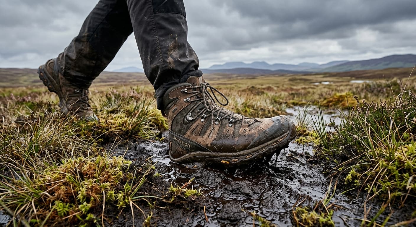
Pumlumon Fawr via Eisteddfa Gurig
The standard direct out-and-back from Eisteddfa Gurig to Pumlumon Fawr across a boggy upland plateau.
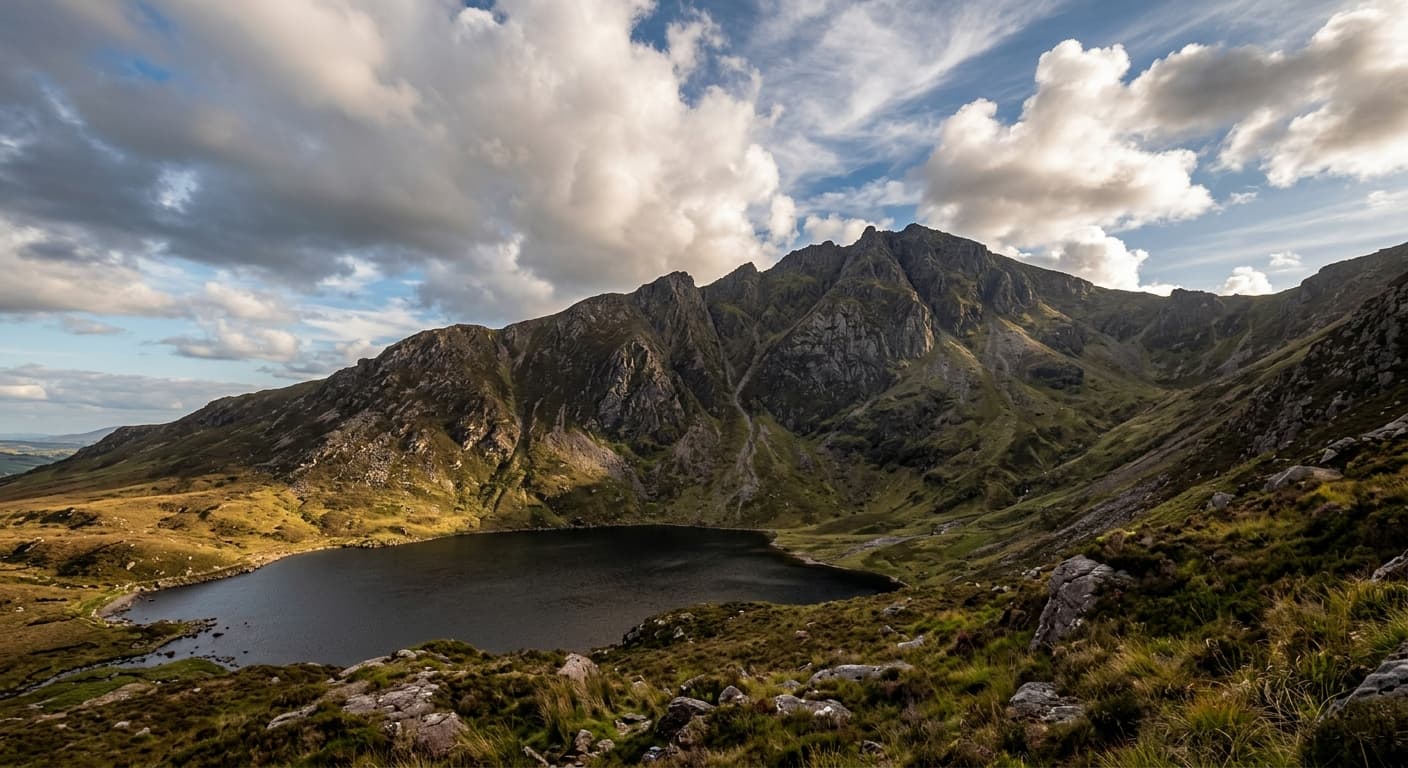
Purple Mountain via the Gap of Dunloe
The direct out-and-back from the Head of the Gap via Glas Lough to Purple Mountain.
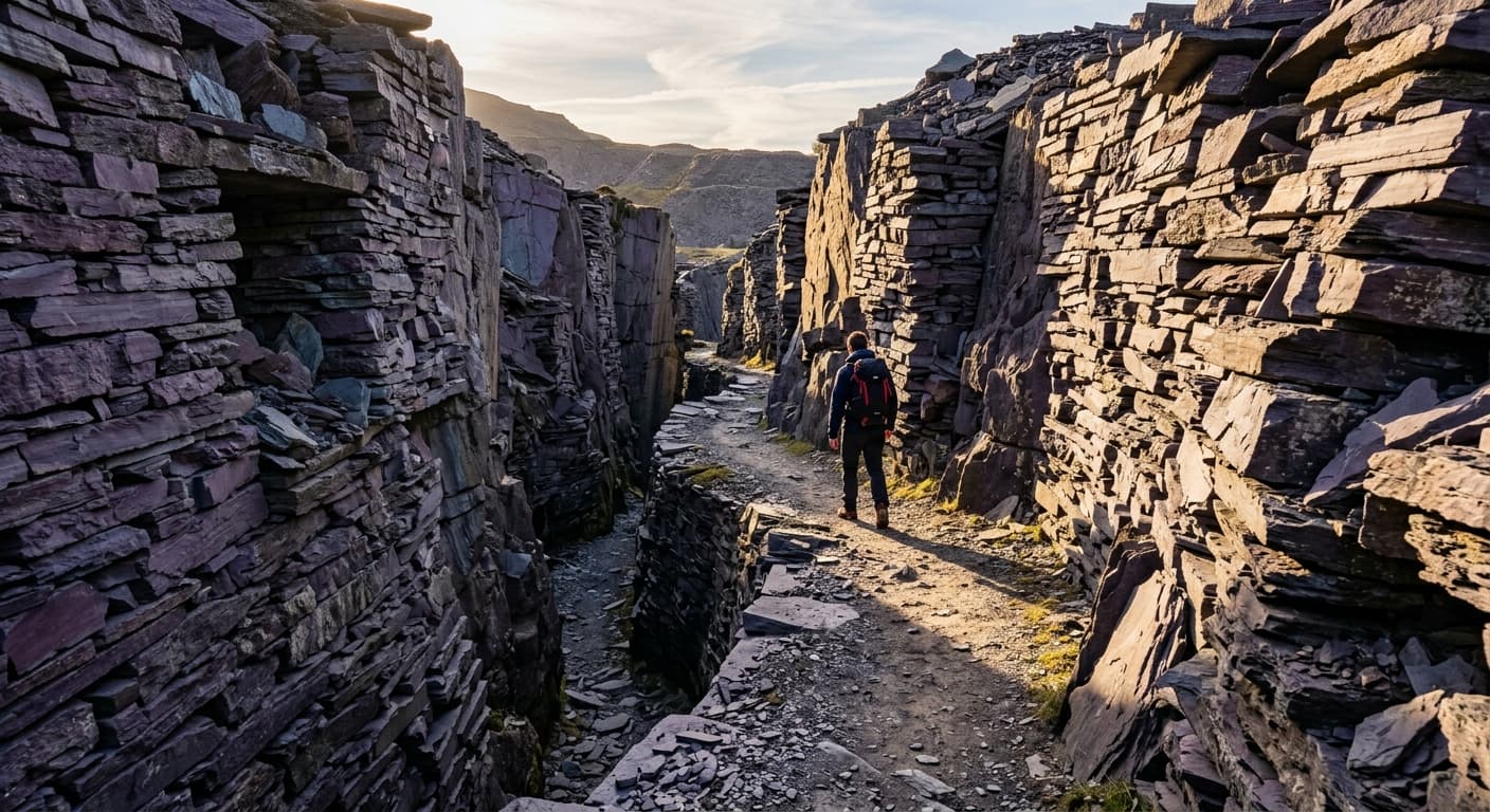
Snowdonia Slate Trail: Porth Penrhyn to Bethesda
A 136.5 km trail through Snowdonia's slate-quarrying heartland, beginning at Porth Penrhyn near Bangor and running 10.2 km inland to Bethesda, then following a 126.3 km loop through mountain-ringed settlements on old tramways, quarry tracks and woodland paths before returning to Bethesda.
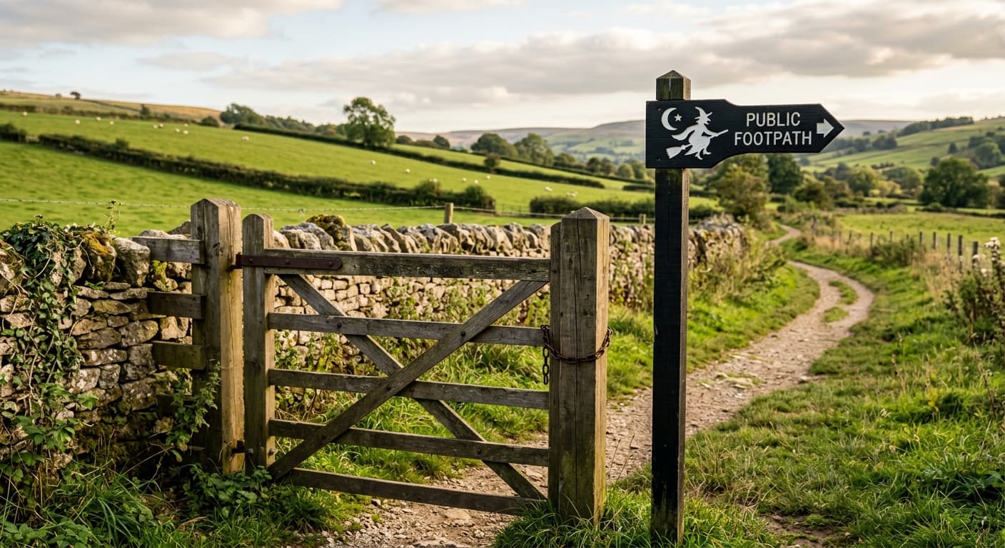
Pendle Hill via Barley
The popular short ascent from Barley via the Pendle Way and steep stone steps to Pendle Hill.
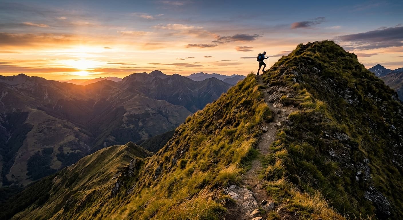
North Barrule via Hibernia
A direct out-and-back from Hibernia via Dreemlang and open moor to North Barrule.
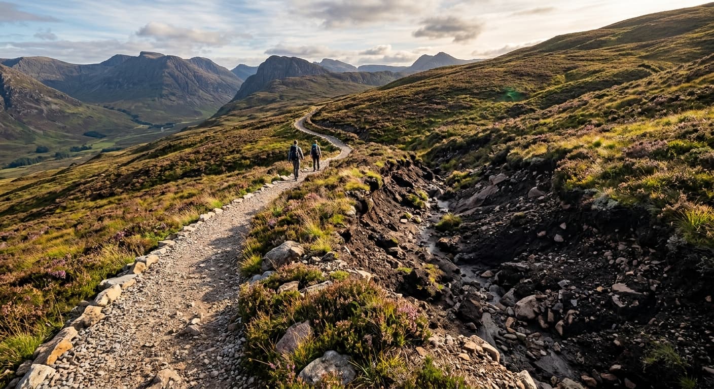
Schiehallion via Braes of Foss
The standard east-ridge out-and-back from Braes of Foss to Schiehallion, finishing across a quartzite boulder field.
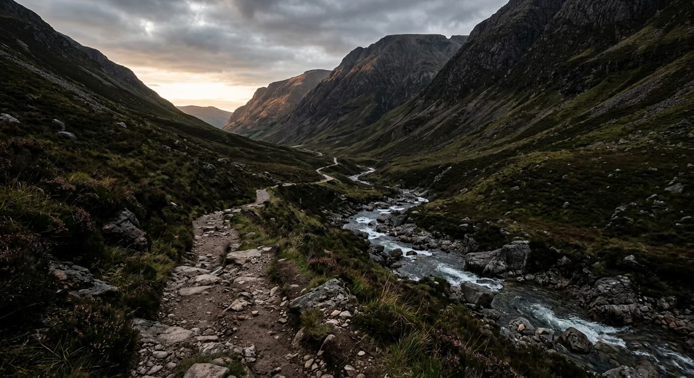
Caisteal Abhail via North Glen Sannox: Arran Route Guide
Climb Caisteal Abhail through North Glen Sannox, gaining the northwest ridge and summit tors without committing to the Witch’s Step.
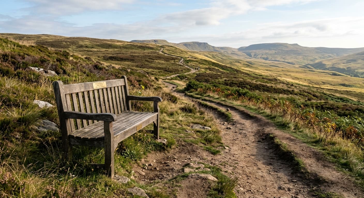
Tinto Hill via Fallburn
The standard north-ridge out-and-back from Fallburn to Tinto Hill's Bronze Age summit cairn.
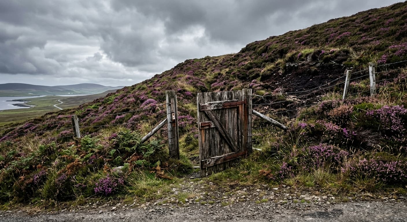
Ward Hill via Dwarfie Stane
A steep, pathless out-and-back from Dwarfie Stane to Ward Hill, planned around Hoy ferry access.
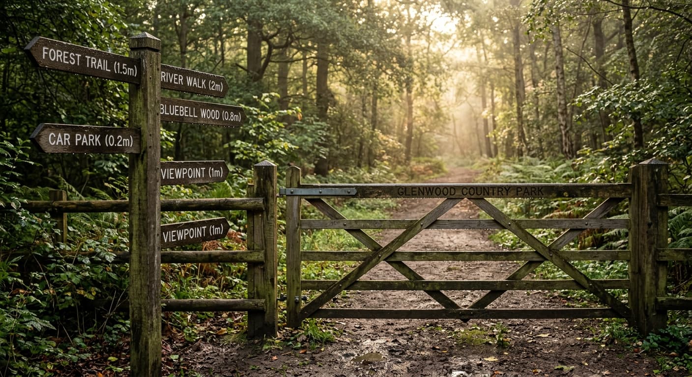
Moel Famau via Bwlch Penbarras
The busy, approachable ascent from Bwlch Penbarras to Moel Famau's Jubilee Tower.
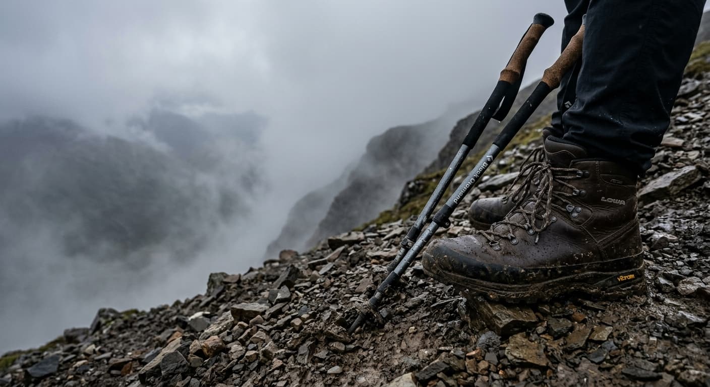
Ben More from Benmore Farm: Crianlarich Route Guide
Climb Ben More directly from Benmore Farm on a compact but punishing out-and-back that gains almost a thousand metres up the northwest face.
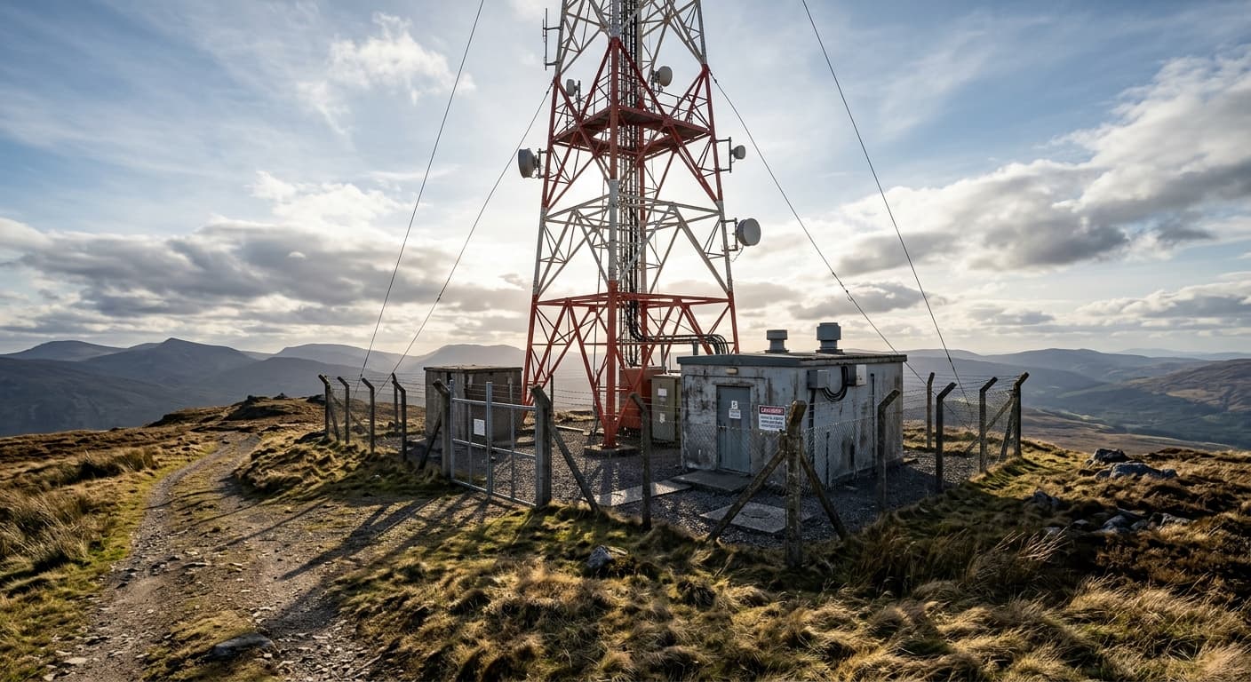
Dùn da Ghaoithe from Upper Achnacroish: Mull Route Guide
Follow the Achnacroish mast track and pathless grassy ridge to climb Dùn da Ghaoithe, Mull’s only Corbett.
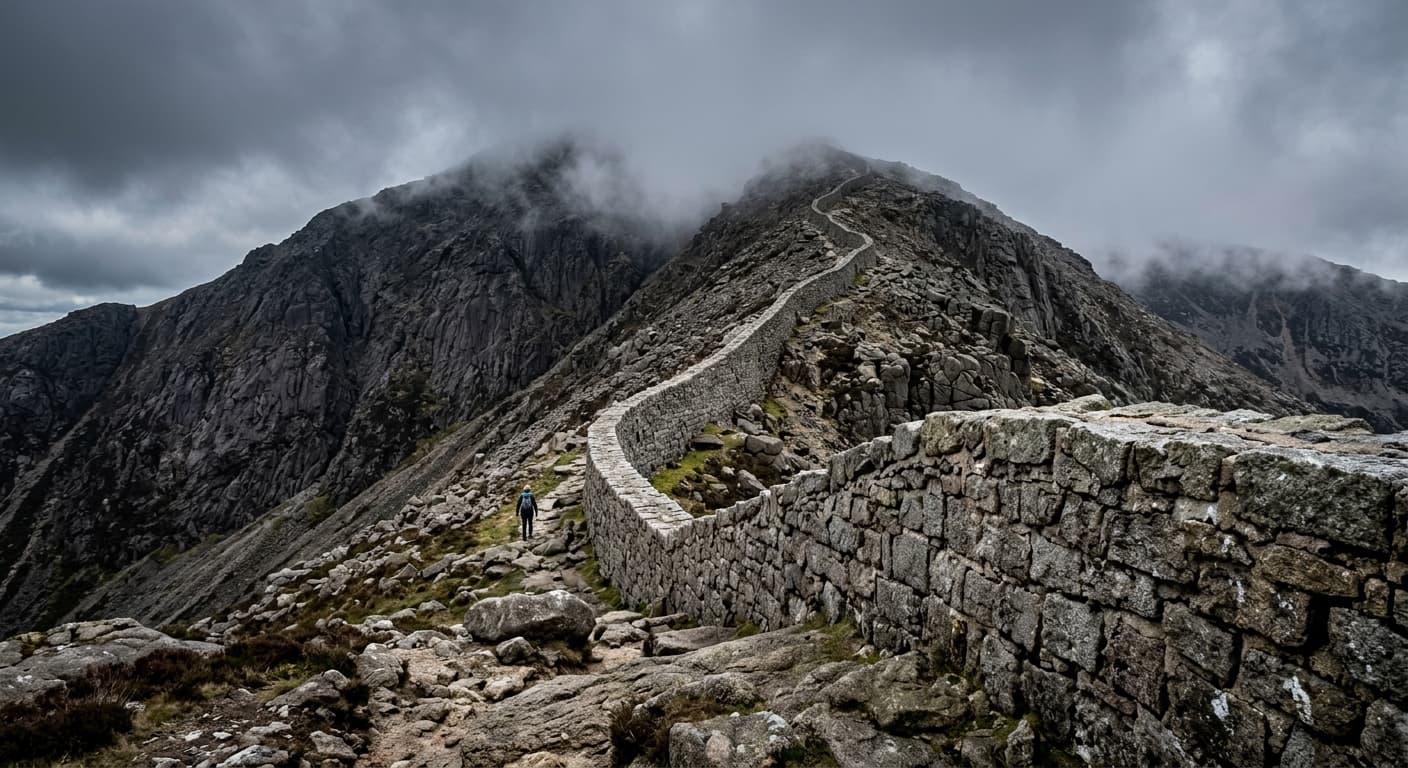
Slieve Binnian via Carrick Little and the Mourne Wall
The standard out-and-back from Carrick Little via Annalong Valley and the Mourne Wall to Slieve Binnian.
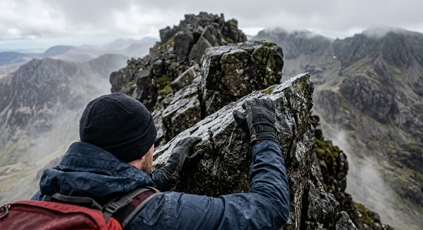
Moel Siabod via Pont Cyfyng and Daear Ddu
A serious out-and-back from Pont Cyfyng via Llyn y Foel and the Grade 1 Daear Ddu ridge to Moel Siabod.
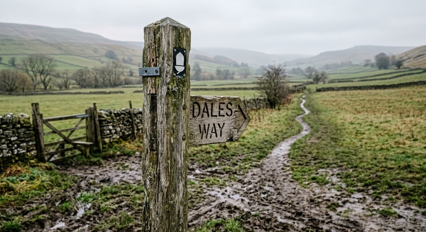
Dales Way: Ilkley to Bowness-on-Windermere
A complete 131.8 km GPX route from Ilkley to Bowness-on-Windermere, following Wharfedale, Dentdale and the gentler edge of Lakeland with 1,343 m of ascent.
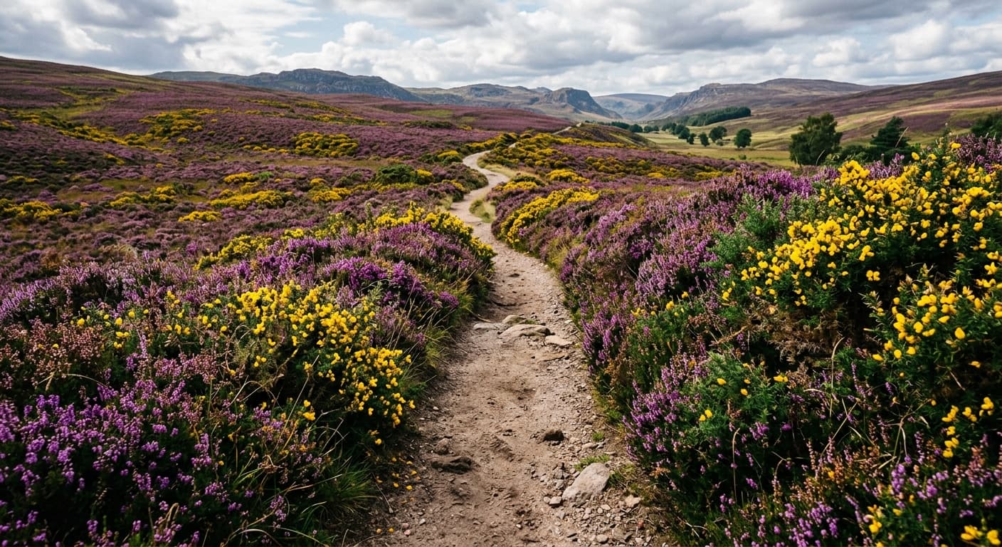
Holdstone Down via Holdstone Down Car Park
A very short and accessible ridge walk from the roadside car park to Holdstone Down's summit cairn.
Slieve Commedagh via Glen River
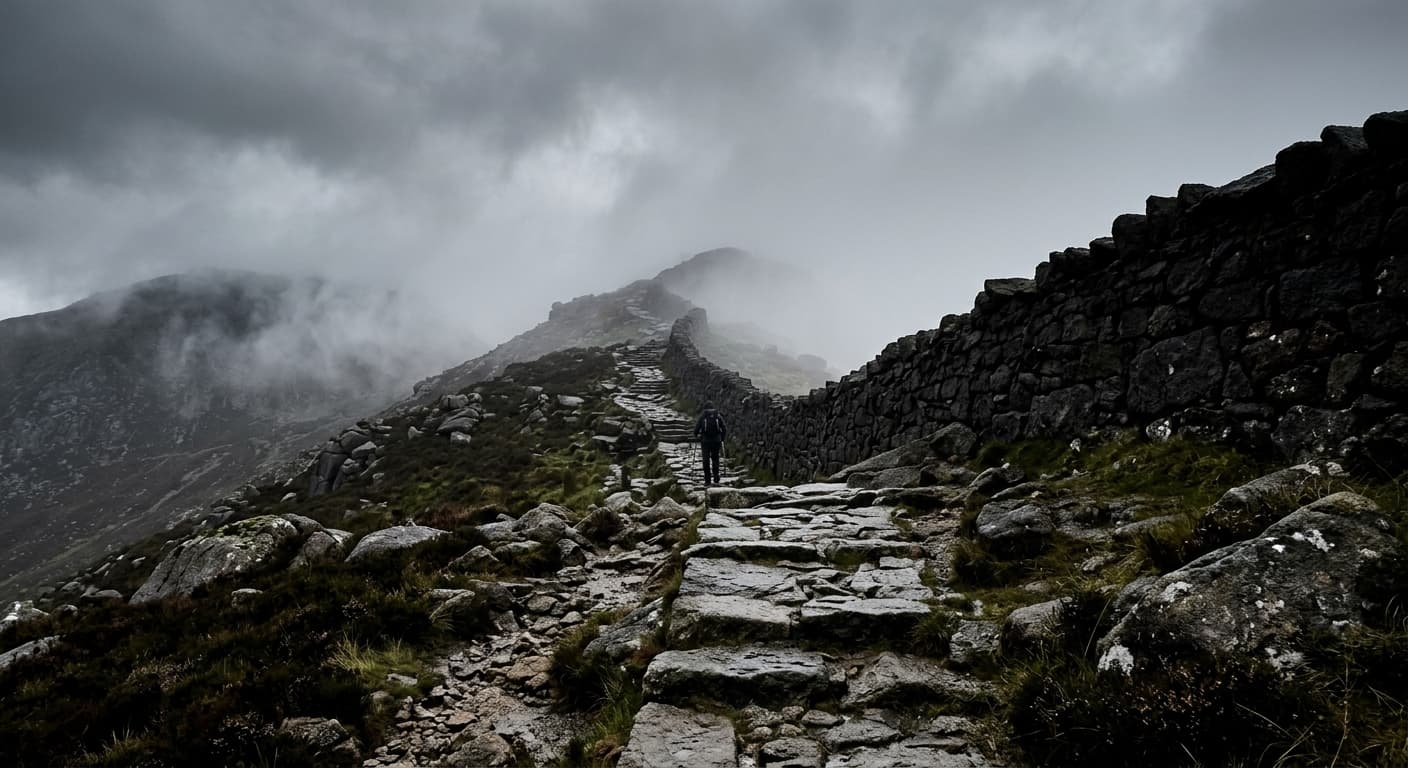
A demanding out-and-back from Donard Park via Glen River and the Mourne Wall to Slieve Commedagh.
Arenig Fawr via Llyn Arenig Fawr
A long out-and-back from Arenig via Llyn Arenig Fawr, its bothy and Y Castell to Arenig Fawr.
Wetherlam via Tilberthwaite and Wetherlam Edge
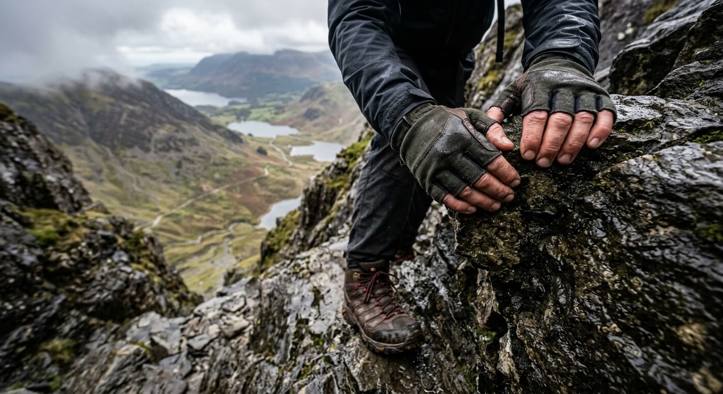
A demanding out-and-back from Tilberthwaite via miners' tracks and Wetherlam Edge to Wetherlam.
Place Fell via Patterdale and Boredale Hause
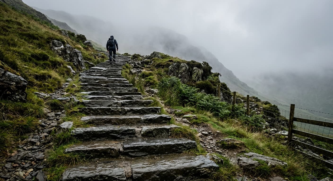
A direct out-and-back from Patterdale via Boredale Hause and Round How to Place Fell.
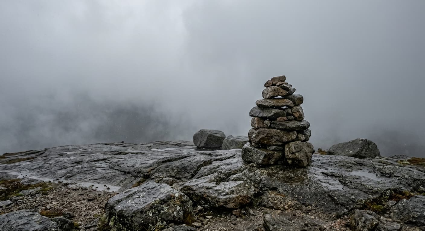
Lochnagar via Spittal of Glenmuick
The standard long ascent of Lochnagar from Spittal of Glenmuick via Allt-na-giubhsaich and the Ladder.
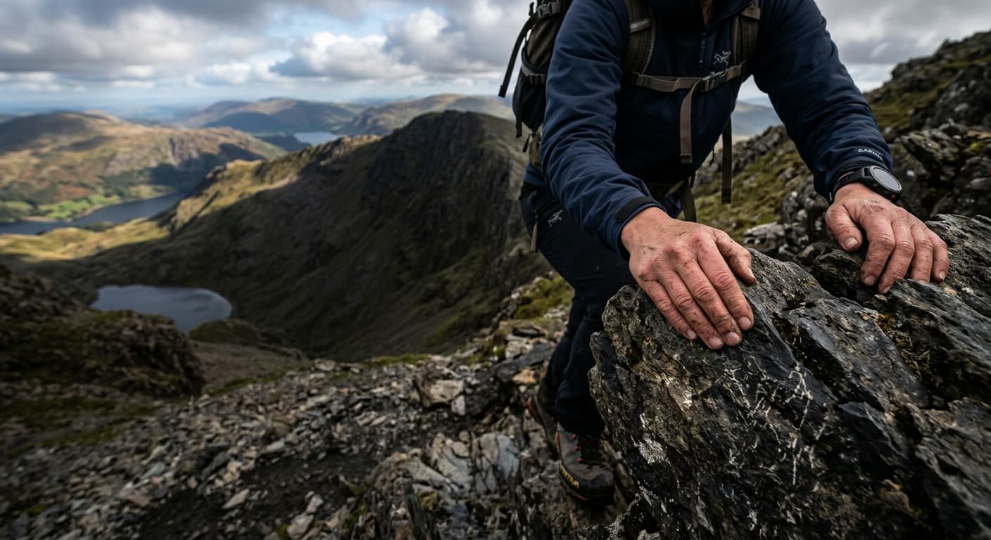
Pike of Blisco via Redacre Gill
A direct out-and-back from Old Dungeon Ghyll via Redacre Gill to Pike of Blisco.
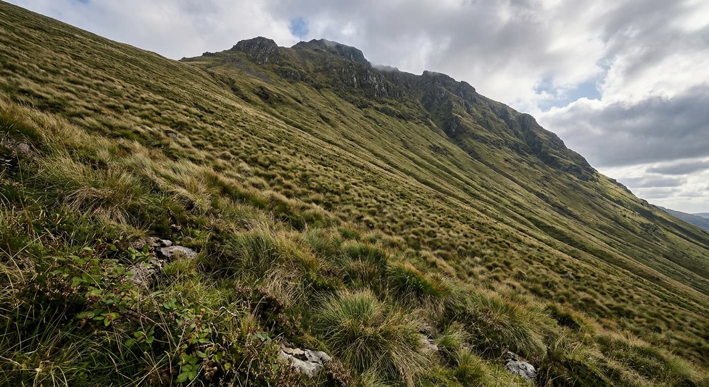
Mweelrea via Silver Strand
A serious, mostly pathless out-and-back from Silver Strand to Mweelrea, with navigation essential near summit cliffs.
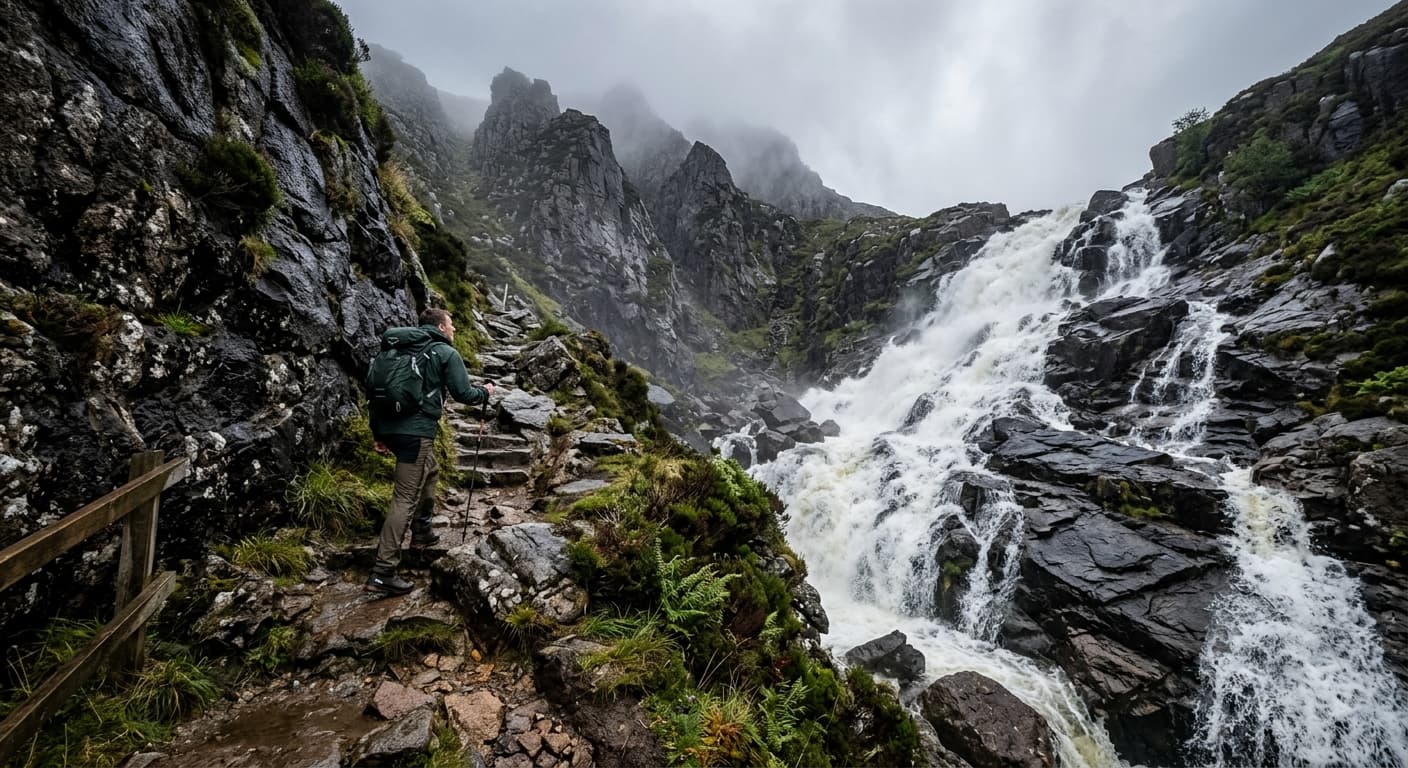
Aran Fawddwy via Cwm Cywarch
A demanding out-and-back from Cwm Cywarch via the gorge and boggy fence-line ridge to Aran Fawddwy.
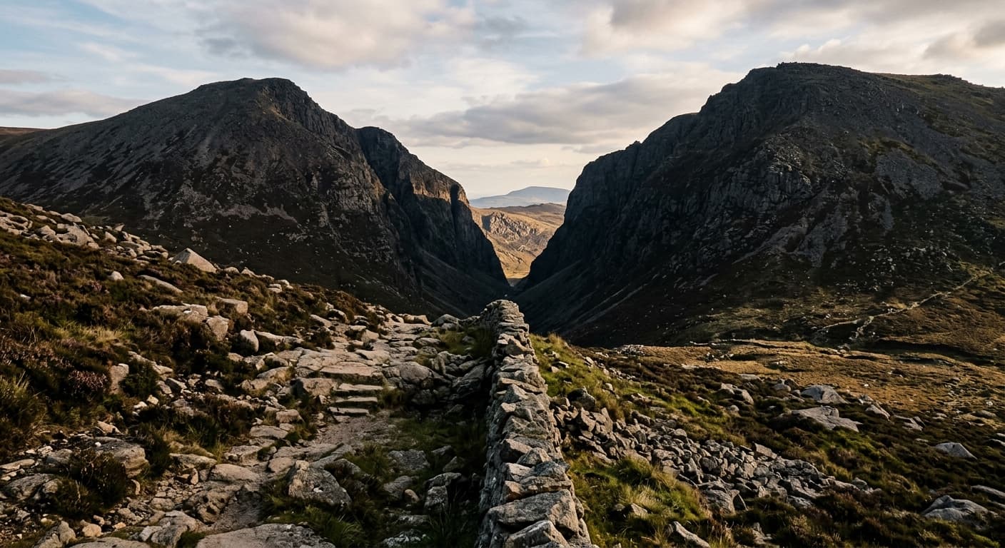
Slieve Bearnagh via Trassey Track and Hare's Gap
A popular out-and-back via Trassey Track and Hare's Gap to Slieve Bearnagh's steep granite summit.
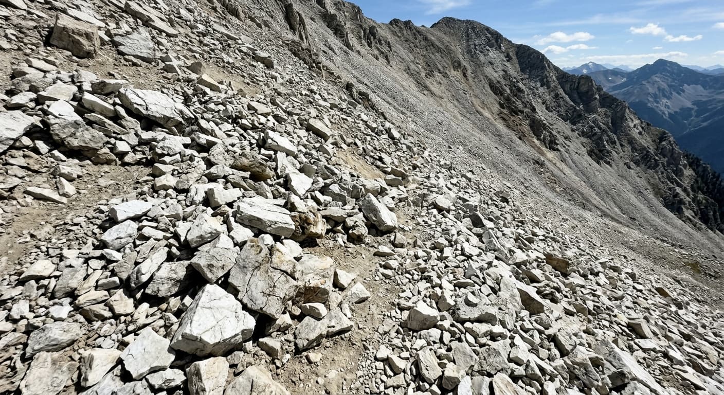
Beinn Shiantaidh from Three Arch Bridge: Jura Route Guide
Cross Jura’s boggy interior to climb the steep quartzite slopes of Beinn Shiantaidh, returning from the eastern Pap by the same wild approach.
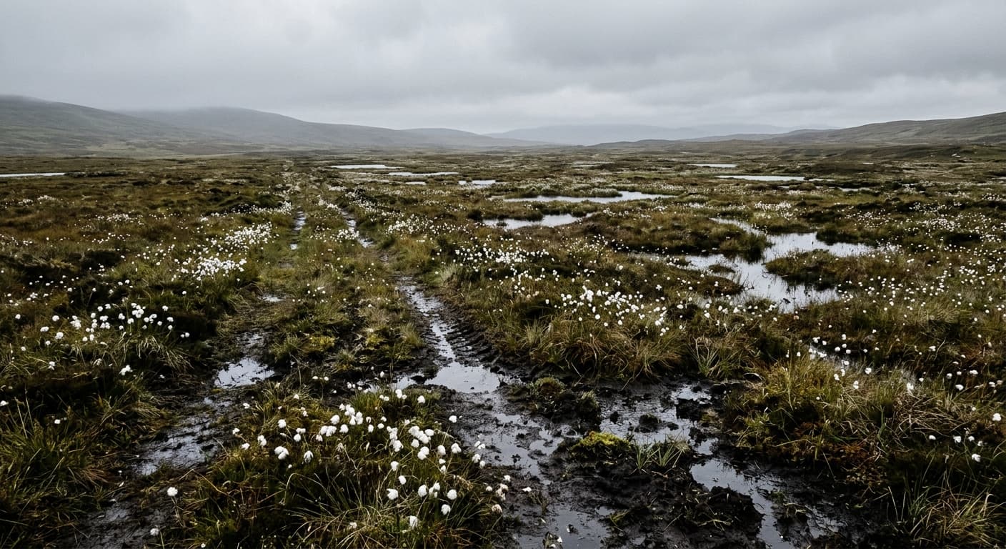
Beinn Mhòr from Loch Aineort: South Uist Route Guide
Cross the wild moorland from Loch Aineort to climb South Uist’s highest summit, following steep grass to Beinn Mhòr’s narrow panoramic ridge.
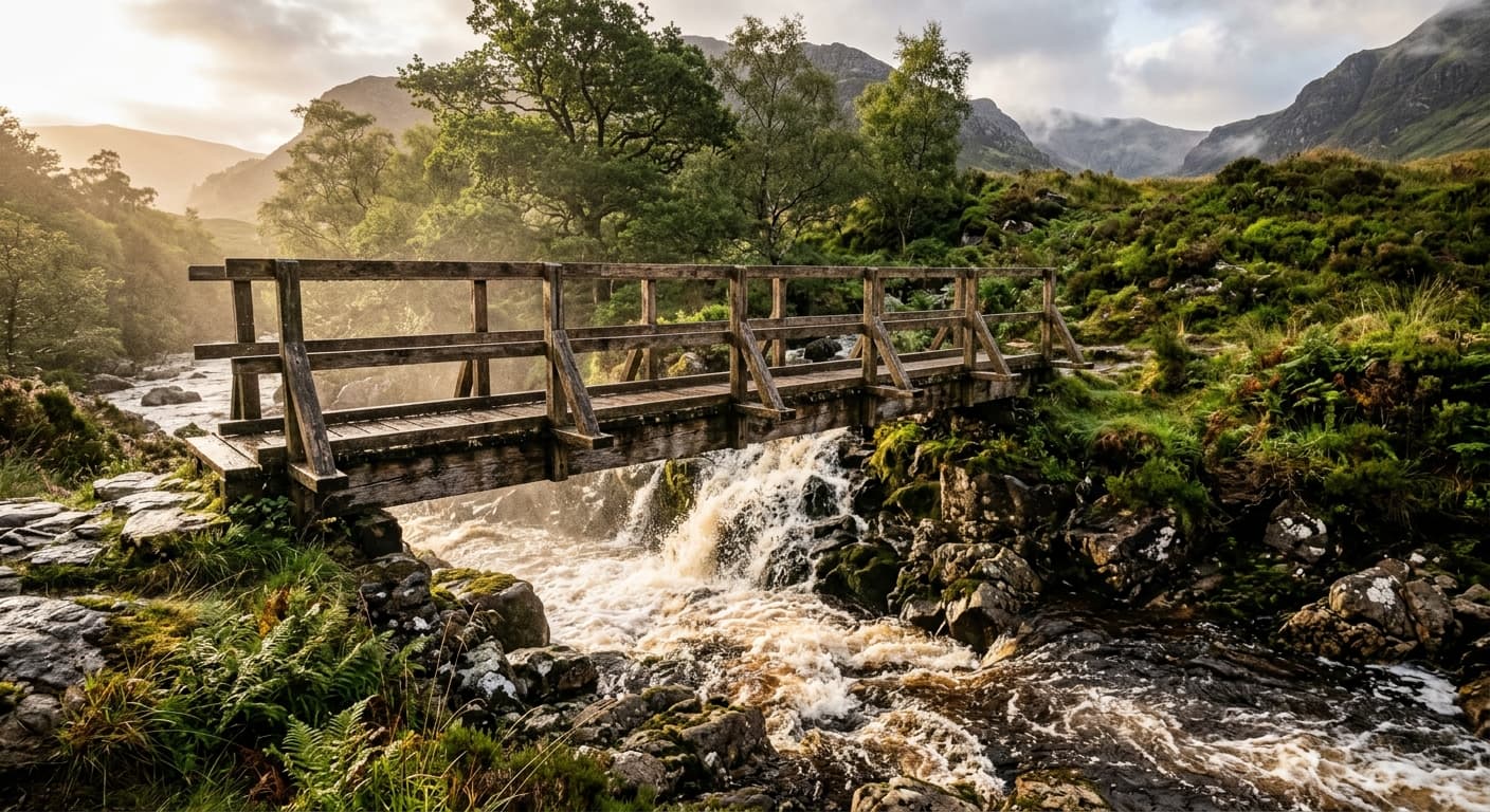
Hedgehope Hill via Langleeford
A direct out-and-back from Langleeford over Housey Crags and Long Crags to Hedgehope Hill.
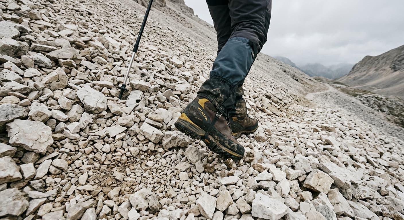
Errigal via the R251 South Face Path: Route Guide
Climb Donegal’s highest mountain by Errigal’s restored south-face path, finishing on its dramatic twin-summit ridge.
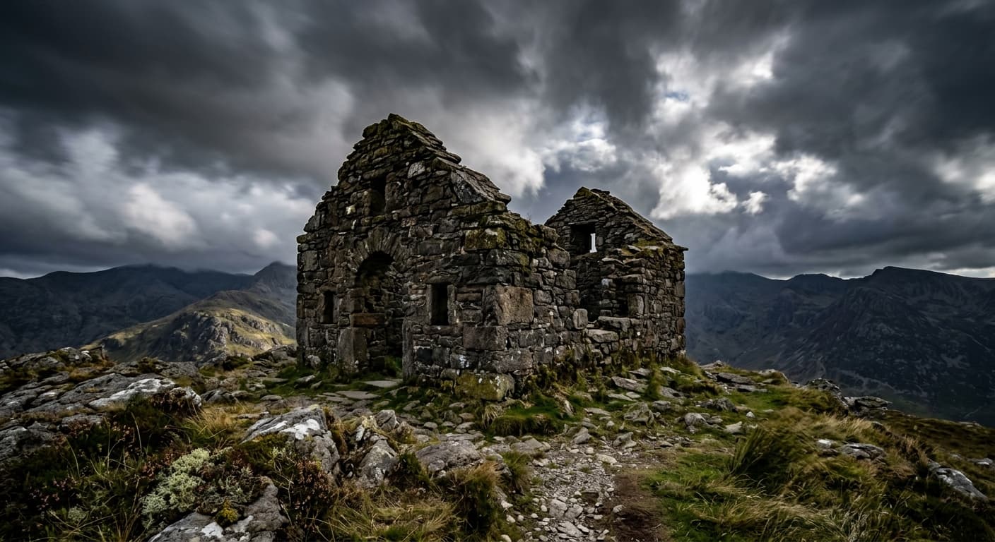
Mount Brandon via Baile Breac and the Saints' Route
The classic Saints' Route out-and-back from Baile Breac to Mount Brandon's summit cross and oratory ruins.
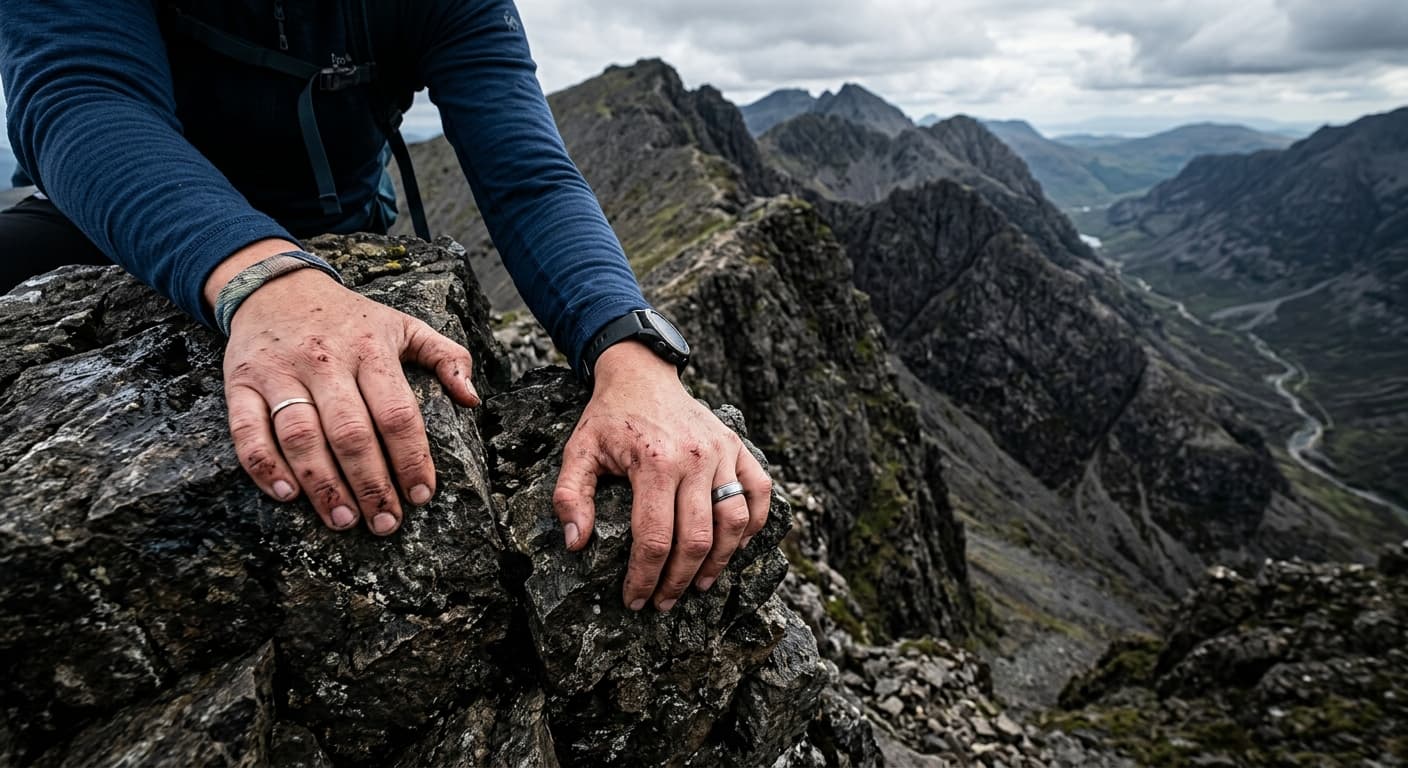
Hallival via Kinloch and Coire Dubh
A demanding out-and-back from Kinloch ferry pier through Coire Dubh to the rocky Corbett summit of Hallival.
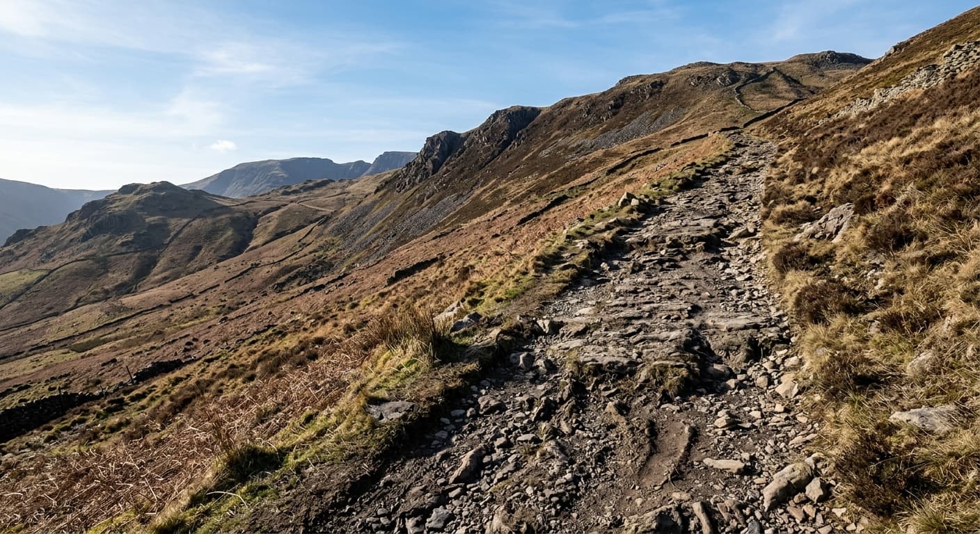
Buckden Pike via Buckden Rake: Yorkshire Dales Route Guide
Follow Buckden Rake from the village to Buckden Pike’s open moorland summit on a direct and rewarding Yorkshire Dales out-and-back.
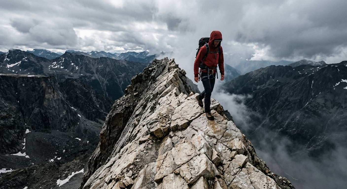
Beinn Eighe via Coire an Laoigh: Ruadh-stac Mòr Route Guide
Cross Beinn Eighe’s dramatic quartzite ridge from Coire an Laoigh to reach Spidean Coire nan Clach and Ruadh-stac Mòr on a demanding out-and-back.
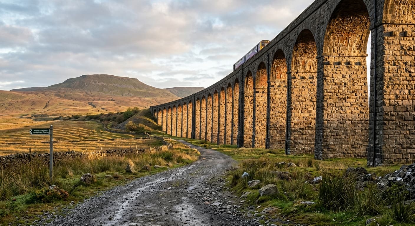
Whernside via Ribblehead
The standard out-and-back from Ribblehead via the railway path and east flank to Whernside.
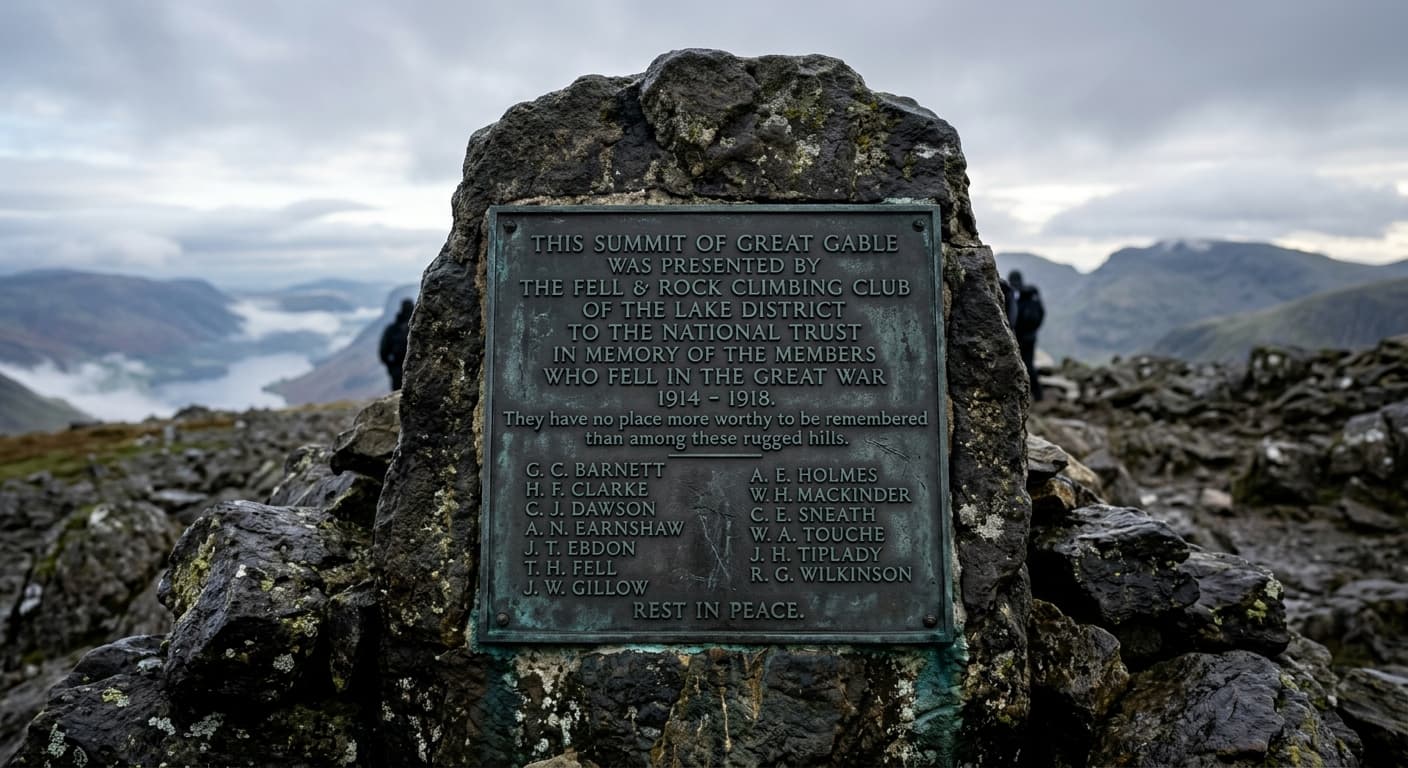
Great Gable via Sty Head and the Breast Route: Route Guide
Climb Great Gable from Wasdale Head by Sty Head and the classic Breast Route to its boulder-field summit and war memorial.
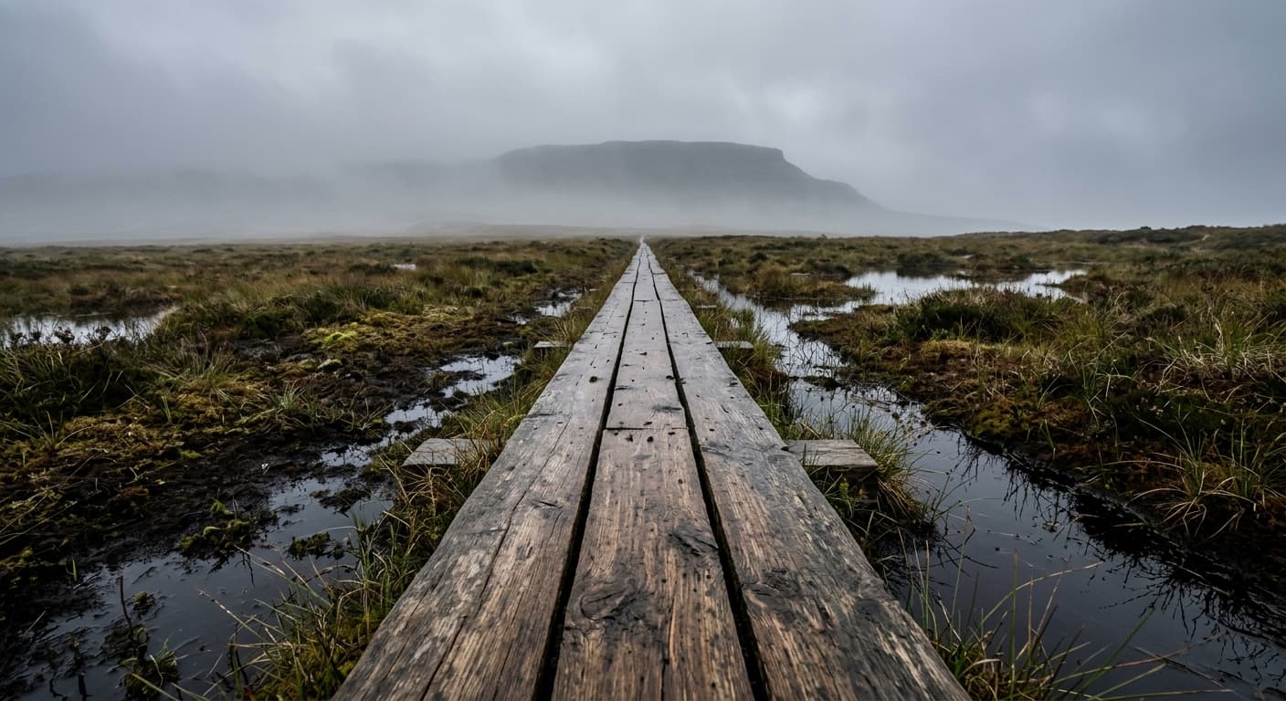
Dùn Caan from No. 1 Mine: Raasay Route Guide
Cross Raasay’s boggy interior from No. 1 Mine to climb Dùn Caan’s distinctive summit cone and panoramic plateau.
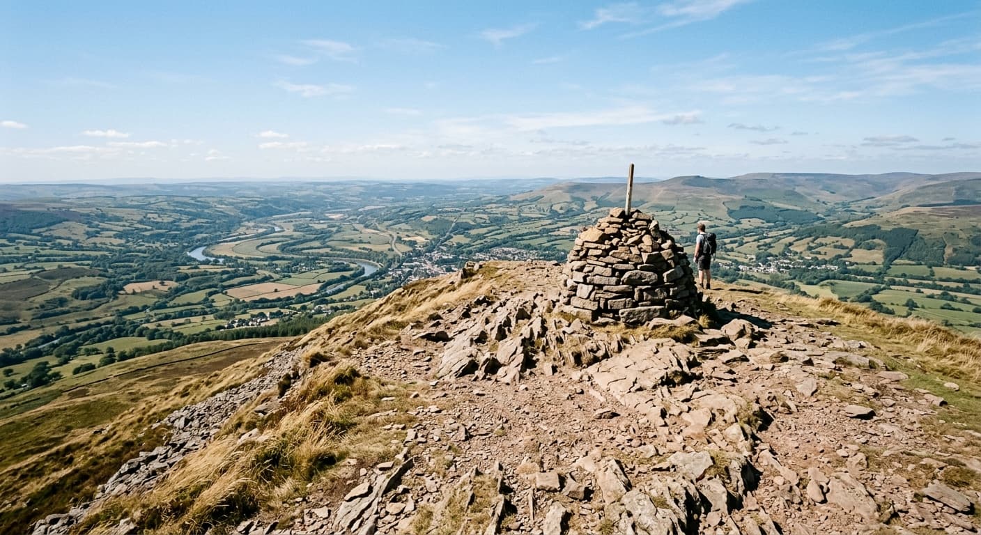
Sugar Loaf via Mynydd Llanwenarth
The popular southern-ridge out-and-back from Mynydd Llanwenarth to Sugar Loaf, or Y Fal.
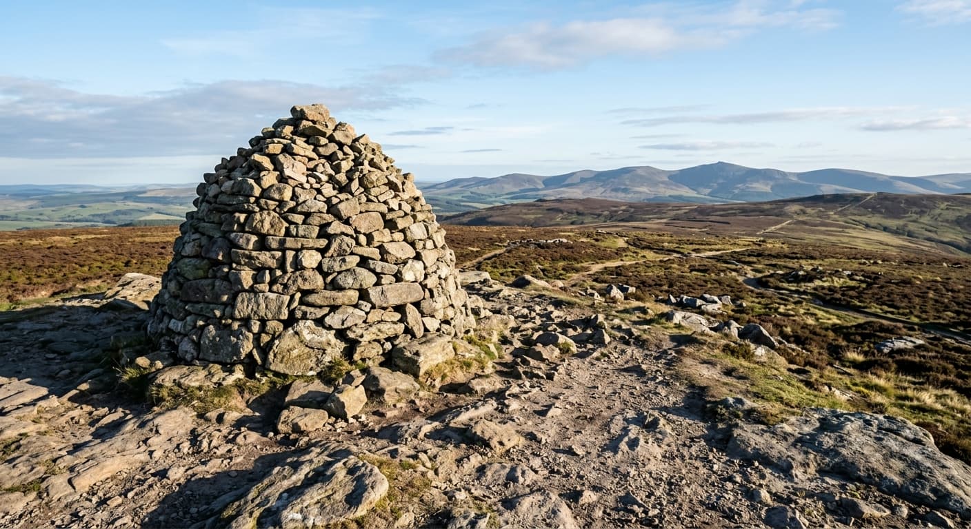
Simonside via Lordenshaws
The classic Lordenshaws out-and-back along the sandstone escarpment to Simonside.
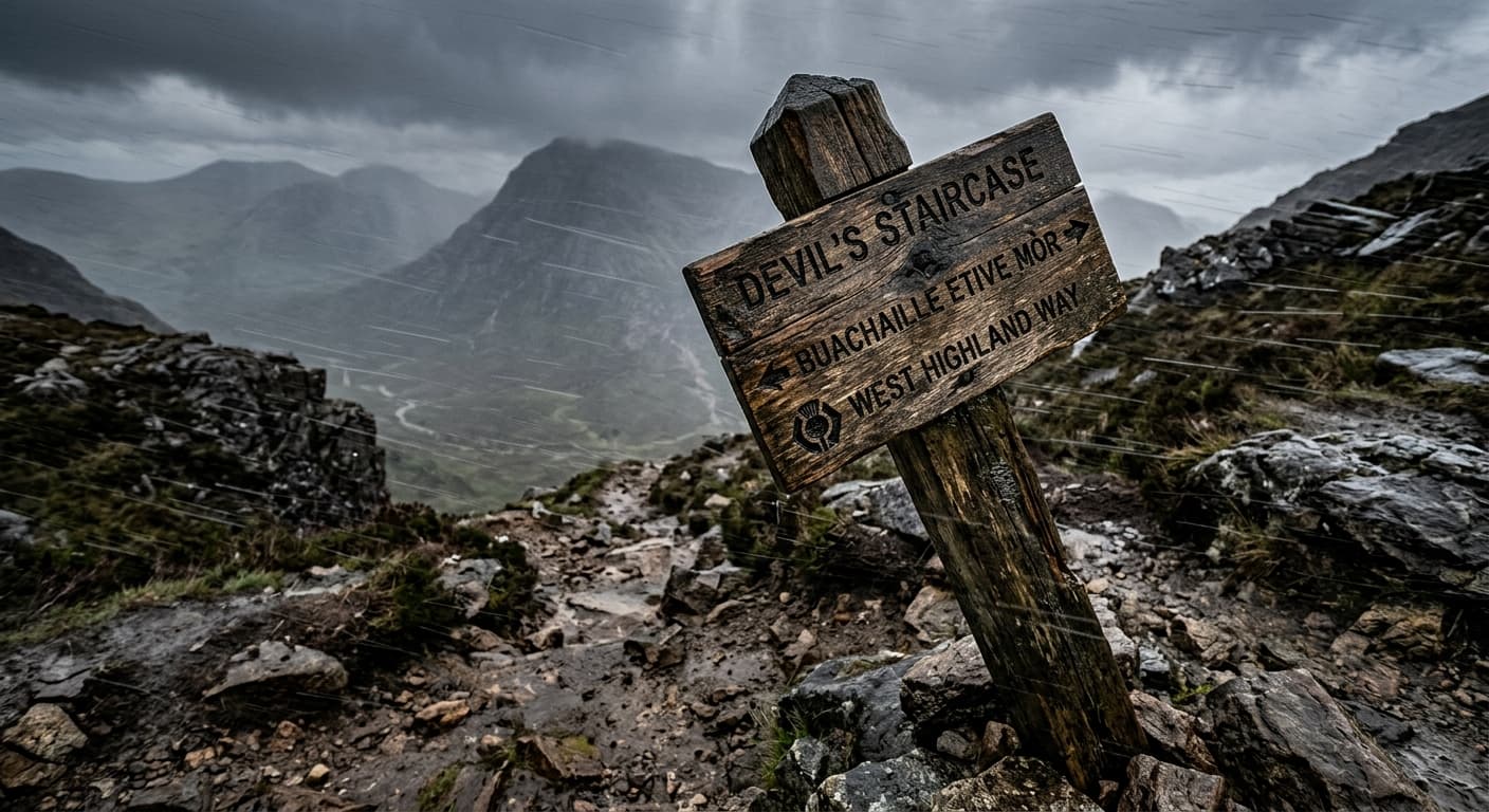
West Highland Way: Milngavie to Fort William
A complete 153.6 km GPX route from Milngavie to Fort William, following Loch Lomond, Rannoch Moor and Glen Coe with 2,766 m of ascent and no promise that the weather has read the itinerary.
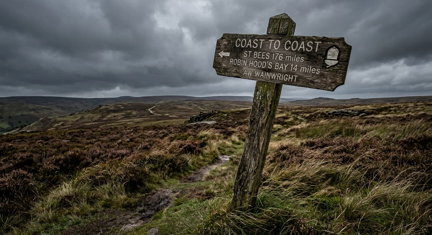
Coast to Coast: St Bees to Robin Hood's Bay
A complete 304.4 km GPX route from the Irish Sea at St Bees to the North Sea at Robin Hood's Bay, crossing the Lake District, Yorkshire Dales and North York Moors.
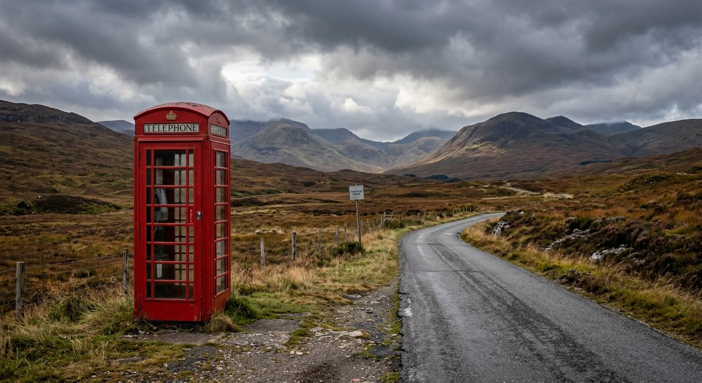
Skye Trail: Rubha Hunish to Broadford
A complete 129.4 km GPX route from Rubha Hunish to Broadford, crossing the Trotternish Ridge and the wild ground beneath the Cuillin with 2,855 m of ascent.
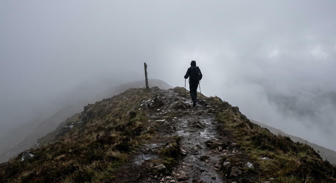
Pennine Way: Edale to Kirk Yetholm
A strenuous 412.7 km main-route GPX from Edale to Kirk Yetholm, with 9,017 m of ascent, sixteen natural stages and enough moorland to recalibrate your idea of ‘a bit damp’.
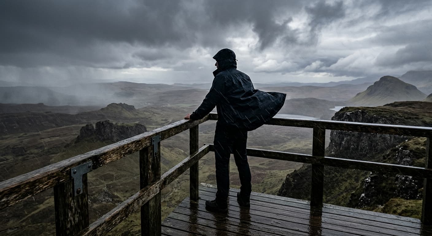
Cuilcagh Boardwalk to the Viewing Platform: Route Guide
Follow Cuilcagh’s Stairway to Heaven from Legnabrocky, continuing beyond the boardwalk viewpoint to the true summit.
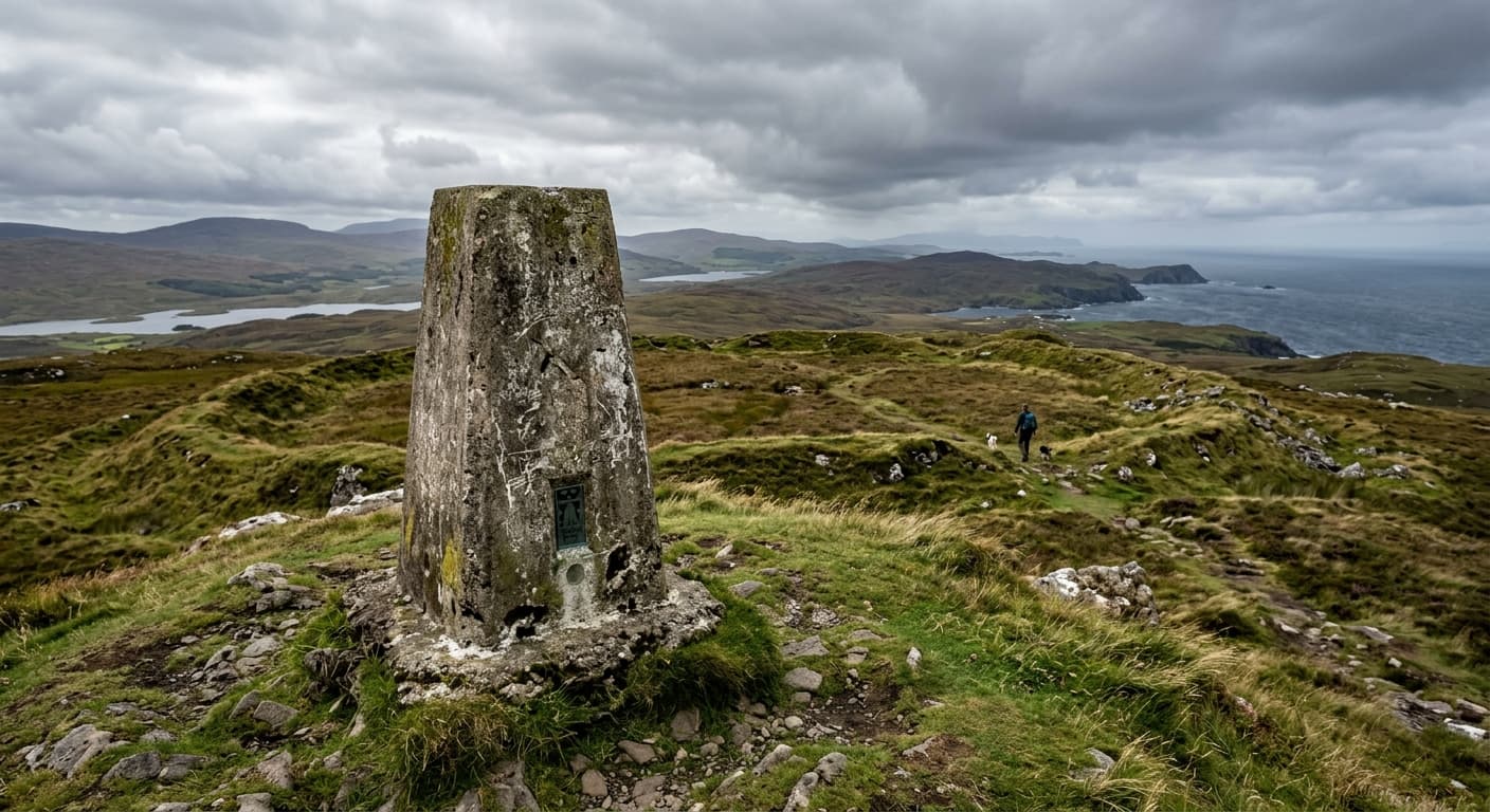
South Barrule via the Round Table
A compact out-and-back from the Round Table crossroads to South Barrule's hillfort summit.
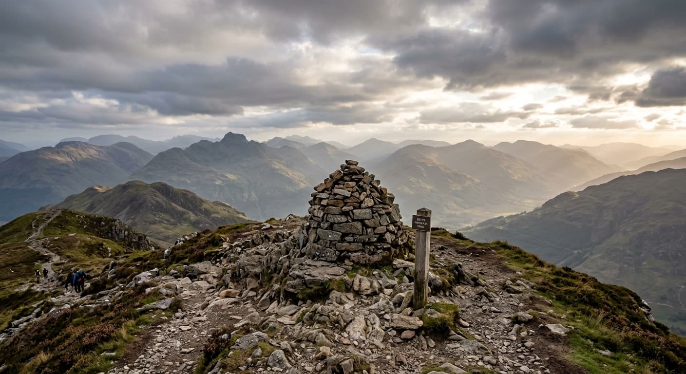
Beinn Narnain from Succoth: Arrochar Alps Route Guide
Take the direct Succoth route up Beinn Narnain, climbing through forestry and over the rocky south ridge to one of the Arrochar Alps’ finest viewpoints.
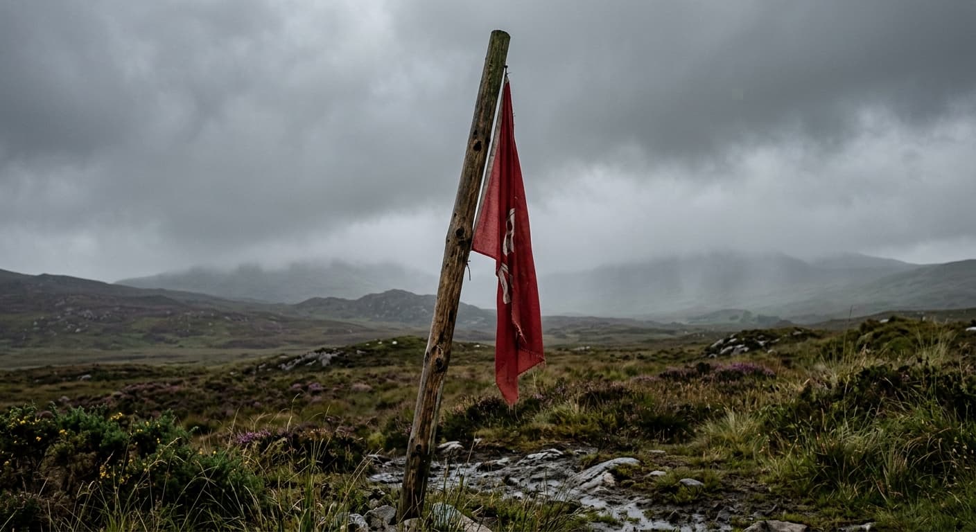
Lugnaquilla via Glen of Imaal Tourist Route
The Glen of Imaal tourist-route out-and-back via Camarahill to Lugnaquilla, with artillery-range checks essential.
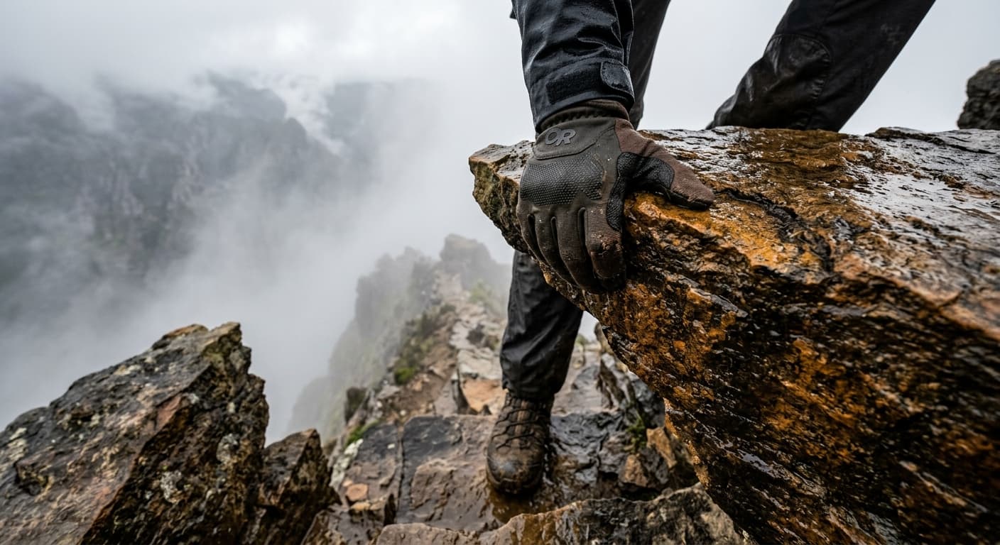
Stac Pollaidh via the East Path
The standard out-and-back from the Achiltibuie road to Stac Pollaidh's eastern ridge, stopping before the true western summit scramble.
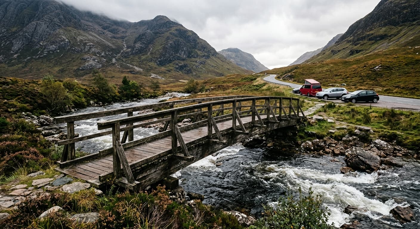
Bidean nam Bian via Coire nan Lochan
A demanding out-and-back from the Three Sisters car park through Coire nan Lochan to Stob Coire nan Lochan and Bidean nam Bian.
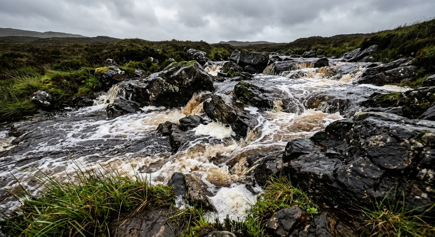
Marsco via Sligachan
A demanding out-and-back from Sligachan through the glen to Marsco's steep, exposed summit ridge.
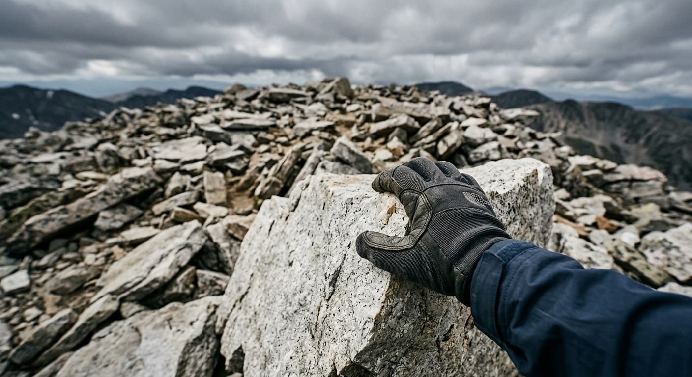
Glyder Fawr via Devil's Kitchen: Eryri Route Guide
Climb Glyder Fawr from Ogwen through Cwm Idwal and Devil’s Kitchen, finishing across its wild boulder-strewn summit.
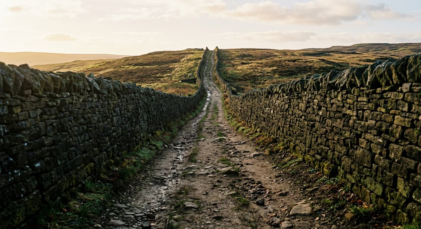
Great Shunner Fell via Hardraw
A steady Pennine Way out-and-back from Hardraw across open moorland to Great Shunner Fell's summit shelter.
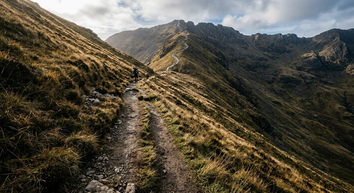
Moel Hebog via Beddgelert
A strenuous out-and-back from Beddgelert through Cwm Cloch and steep scree to Moel Hebog.
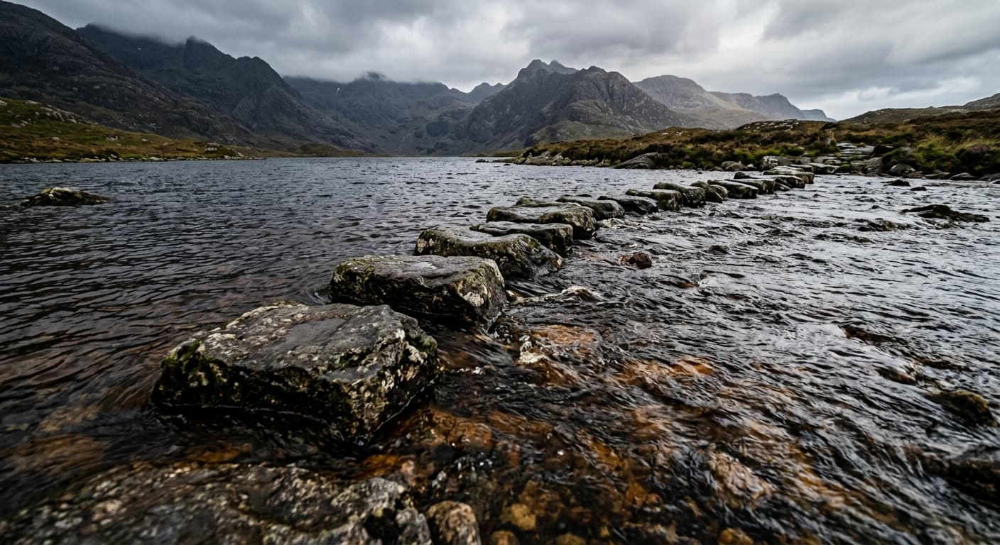
Beinn an Òir from Three Arch Bridge: Jura Route Guide
Make the long, wild approach to Beinn an Òir from Three Arch Bridge, climbing Jura’s highest summit by its eastern ramp and returning the same way.
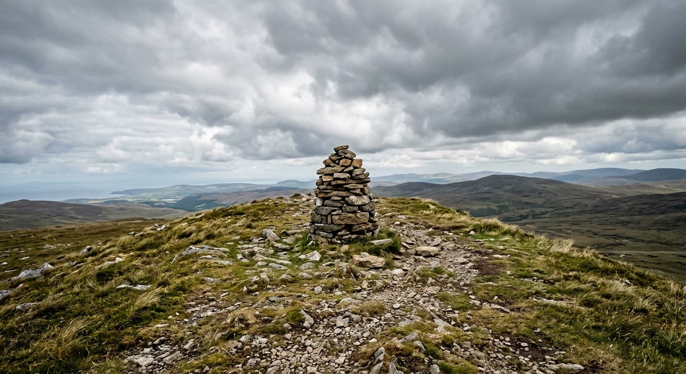
Dufton Pike via Pusgill: North Pennines Route Guide
Climb Dufton Pike from the village by Pusgill and its steep grassy south ridge on a compact North Pennines walk.
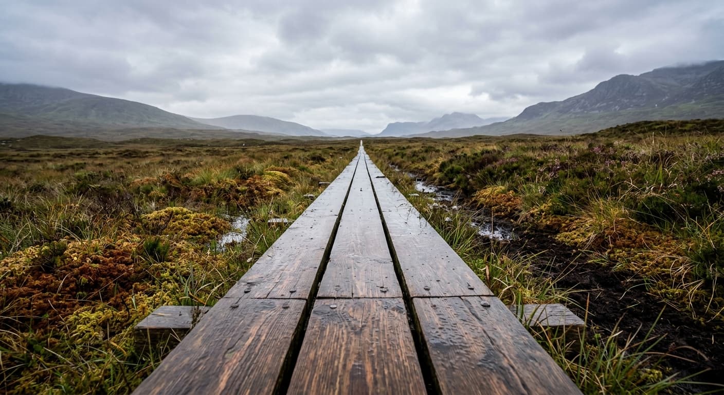
Diamond Hill from Connemara National Park: Route Guide
Climb Diamond Hill on Connemara National Park’s waymarked trail for sweeping views of the Twelve Bens and Atlantic coast.
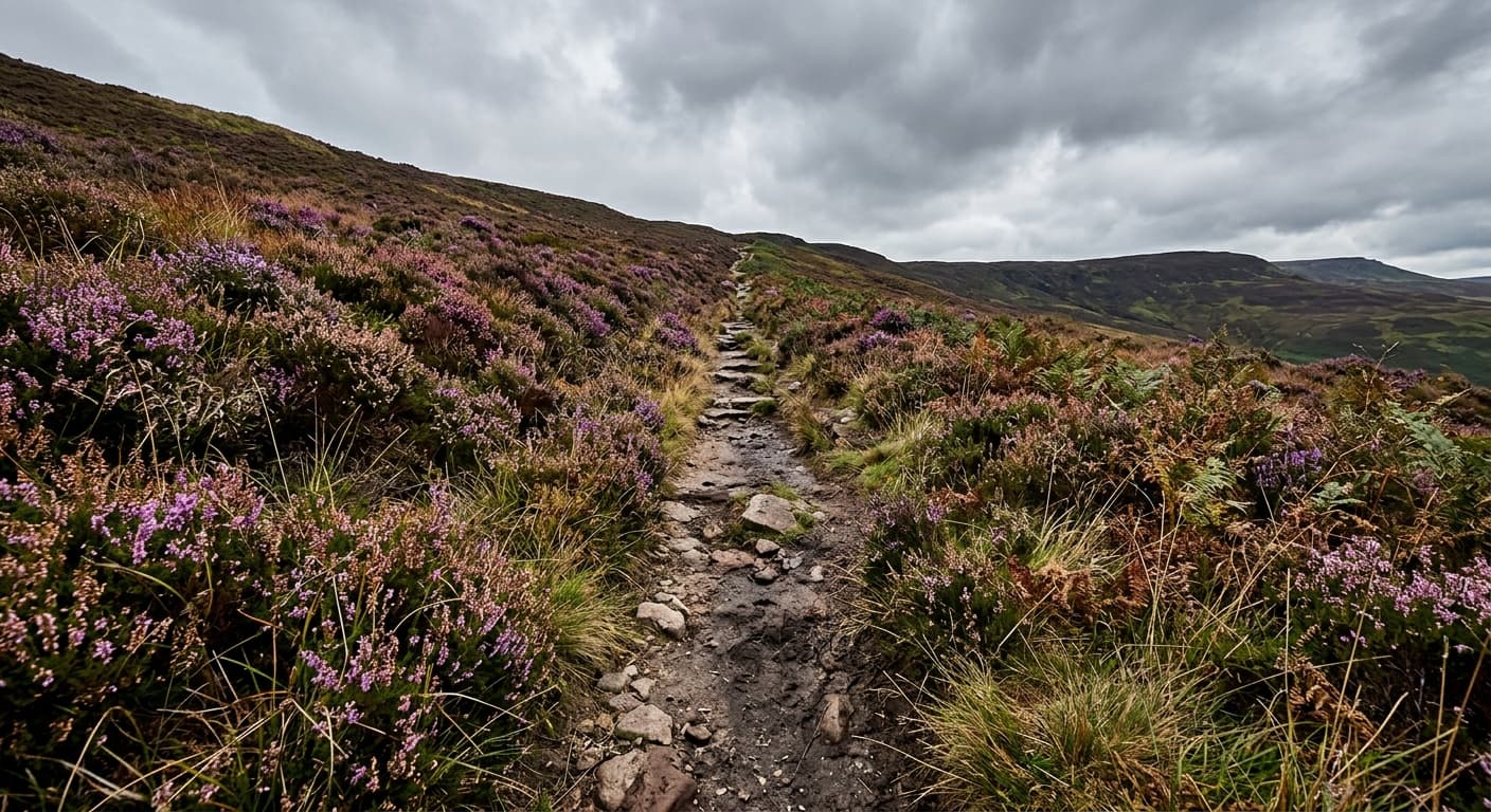
Cronk ny Arrey Laa from The Sloc: Isle of Man Route Guide
Climb Cronk ny Arrey Laa from The Sloc on a short steep route to a panoramic summit above the Isle of Man’s western coast.
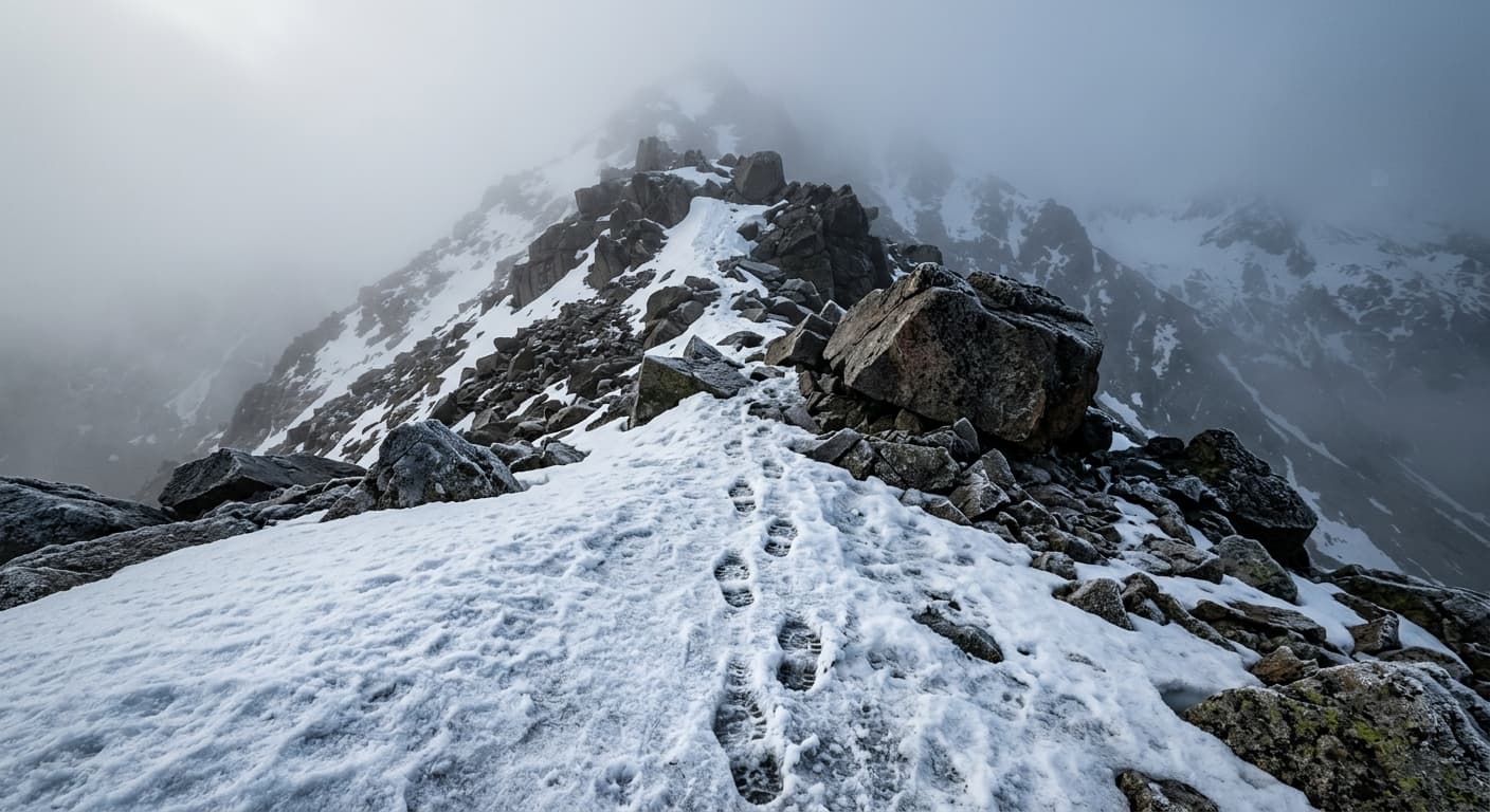
Cairn Gorm via Windy Ridge from Coire Cas: Route Guide
Climb Cairn Gorm directly from Coire Cas by Windy Ridge on a short, steep and highly exposed route to the Cairngorm plateau.
Selworthy Beacon via Selworthy Combe
A short out-and-back from Selworthy through woodland and Selworthy Combe to Selworthy Beacon.
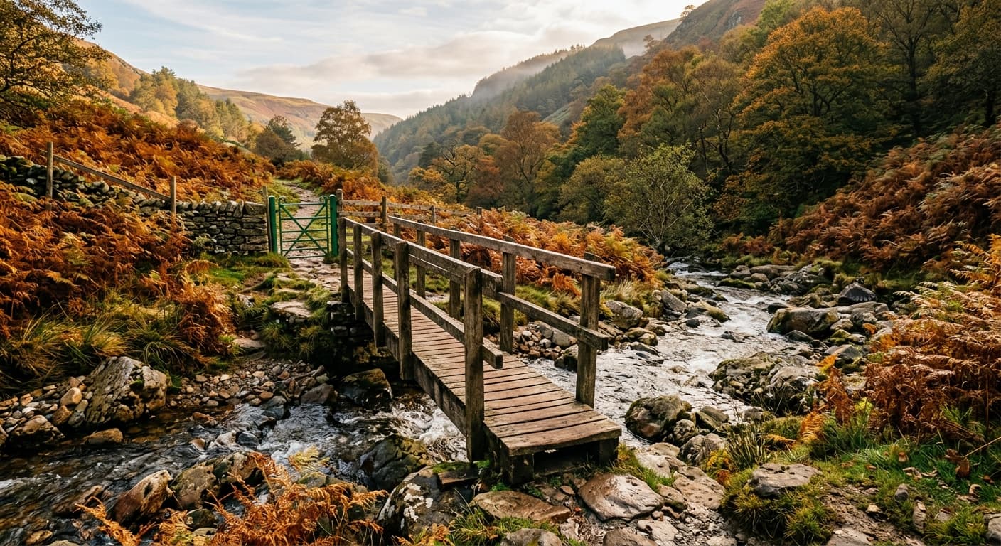
Pen y Fan via Pont ar Daf and Corn Du
The popular engineered out-and-back from Pont ar Daf via Corn Du to Pen y Fan.
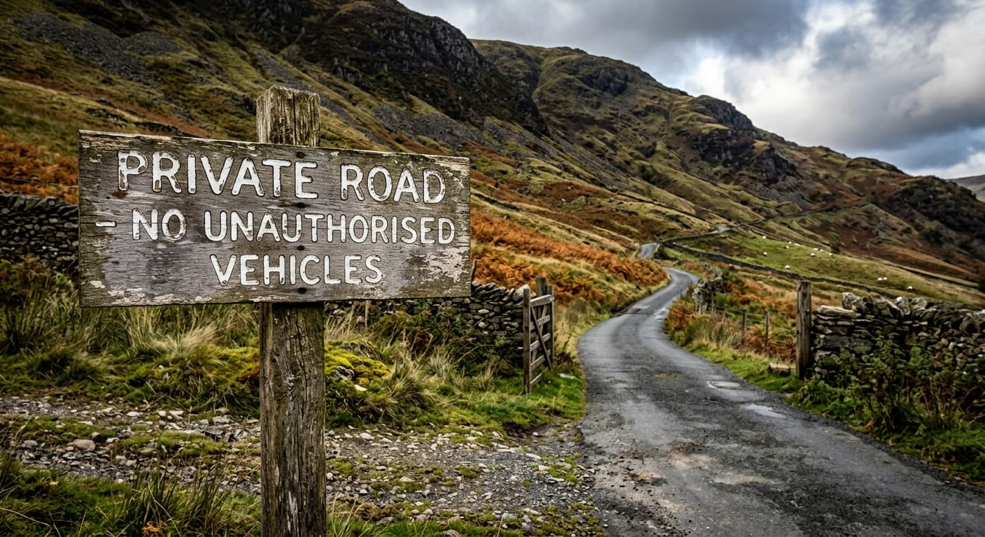
Great Dun Fell via the Radar Road from Knock: Route Guide
Walk Britain’s highest paved road from Knock to the radar dome on Great Dun Fell, returning by the same exposed Pennine route.
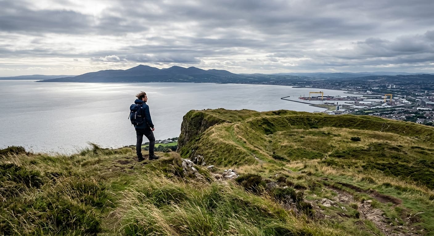
Cave Hill from Belfast Castle: Route Guide
Walk from Belfast Castle to McArt’s Fort on Cave Hill, passing woodland, caves and dramatic basalt cliffs above the city.
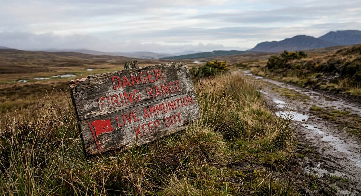
Yes Tor via Meldon and Longstone Hill
A dedicated out-and-back from Meldon Reservoir via Longstone Hill to Yes Tor, with firing checks essential.
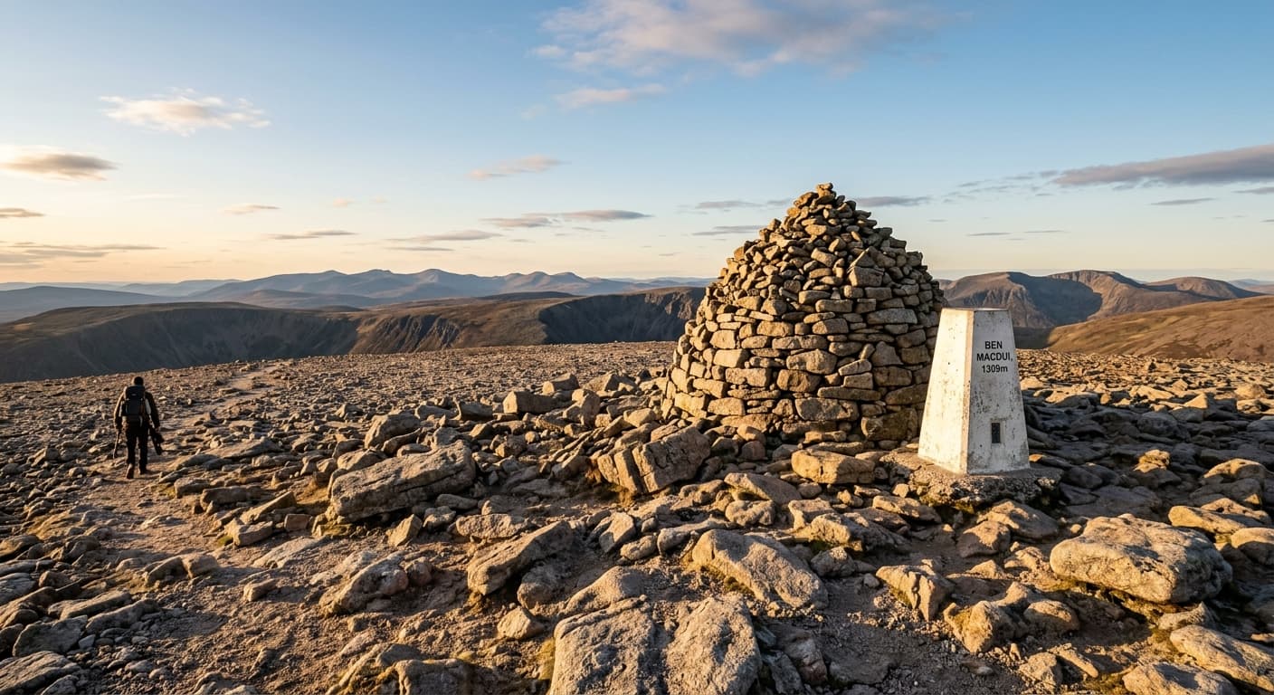
Ben Macdui via Coire Cas and Windy Ridge: Route Guide
Cross the vast Cairngorm plateau from Coire Cas to Ben Macdui on a serious high-level route where navigation and weather judgement are essential.
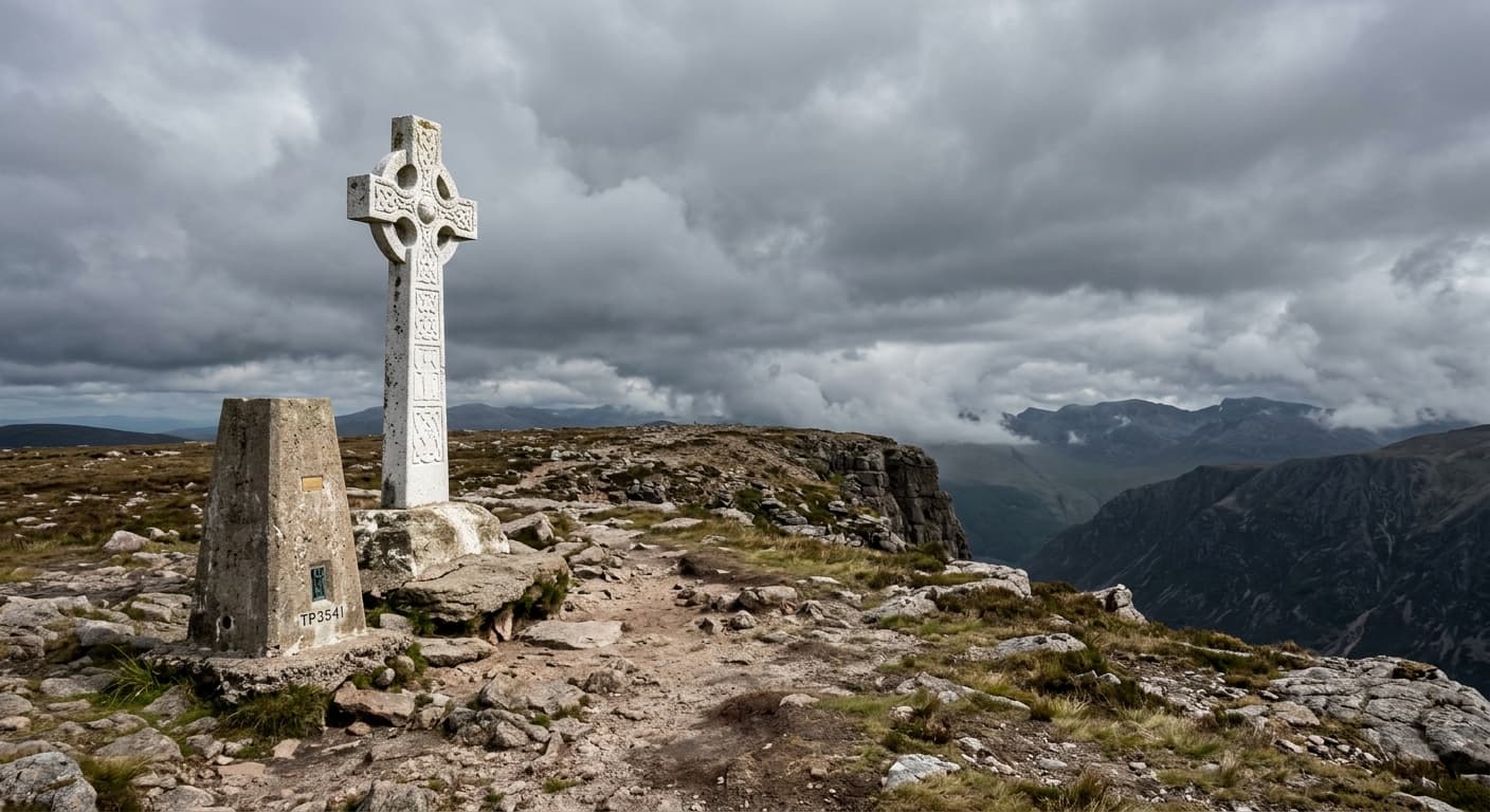
Galtymore via the Black Road: Route Guide
Climb Galtymore by the classic Black Road from Skeheenarinky, following the direct southern route to the Galtees’ highest summit.
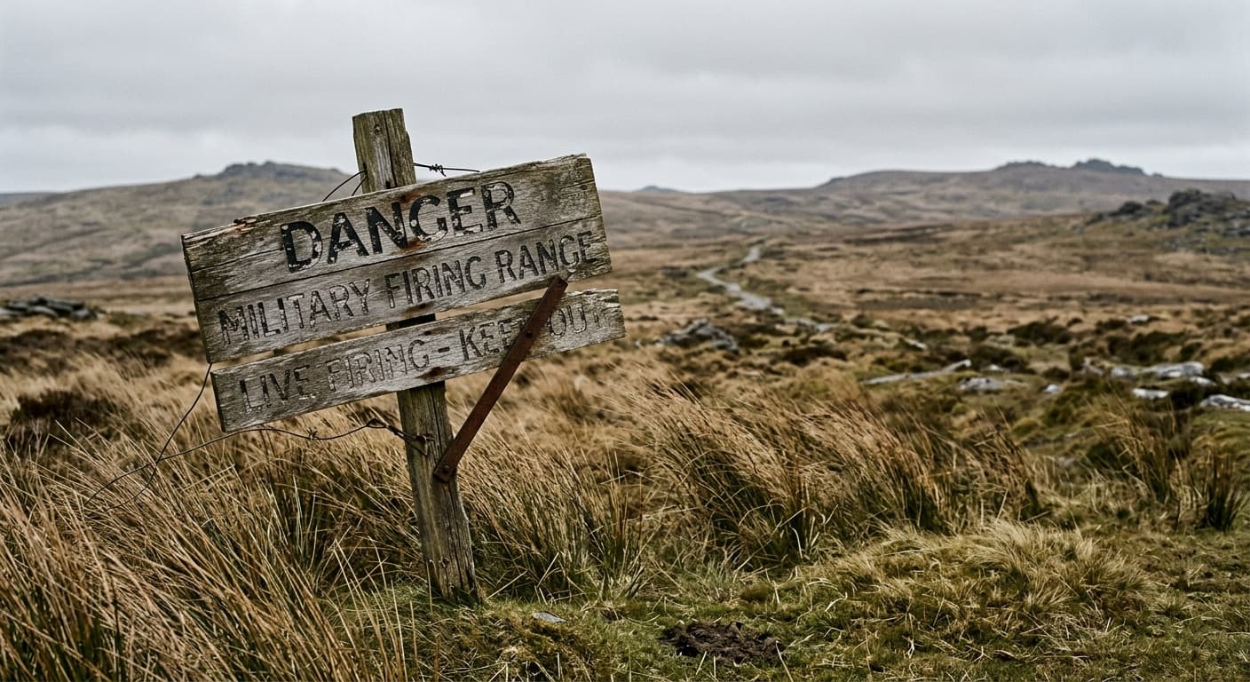
High Willhays via Meldon
An open-moorland out-and-back from Meldon Reservoir to High Willhays, with military-range checks essential.
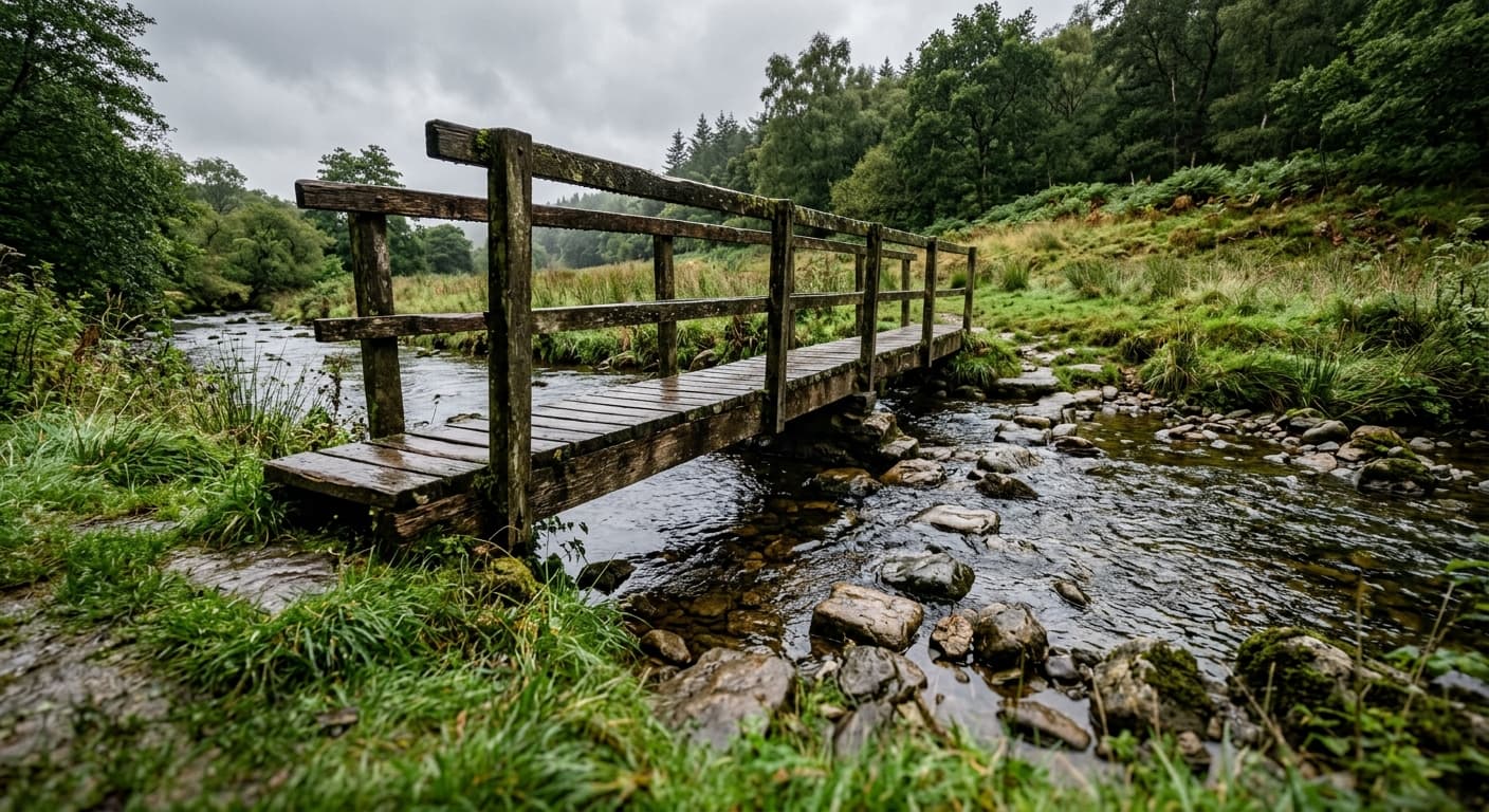
Windy Gyle via Cocklawfoot
A direct out-and-back from Cocklawfoot to Windy Gyle and Russell's Cairn on the border ridge.
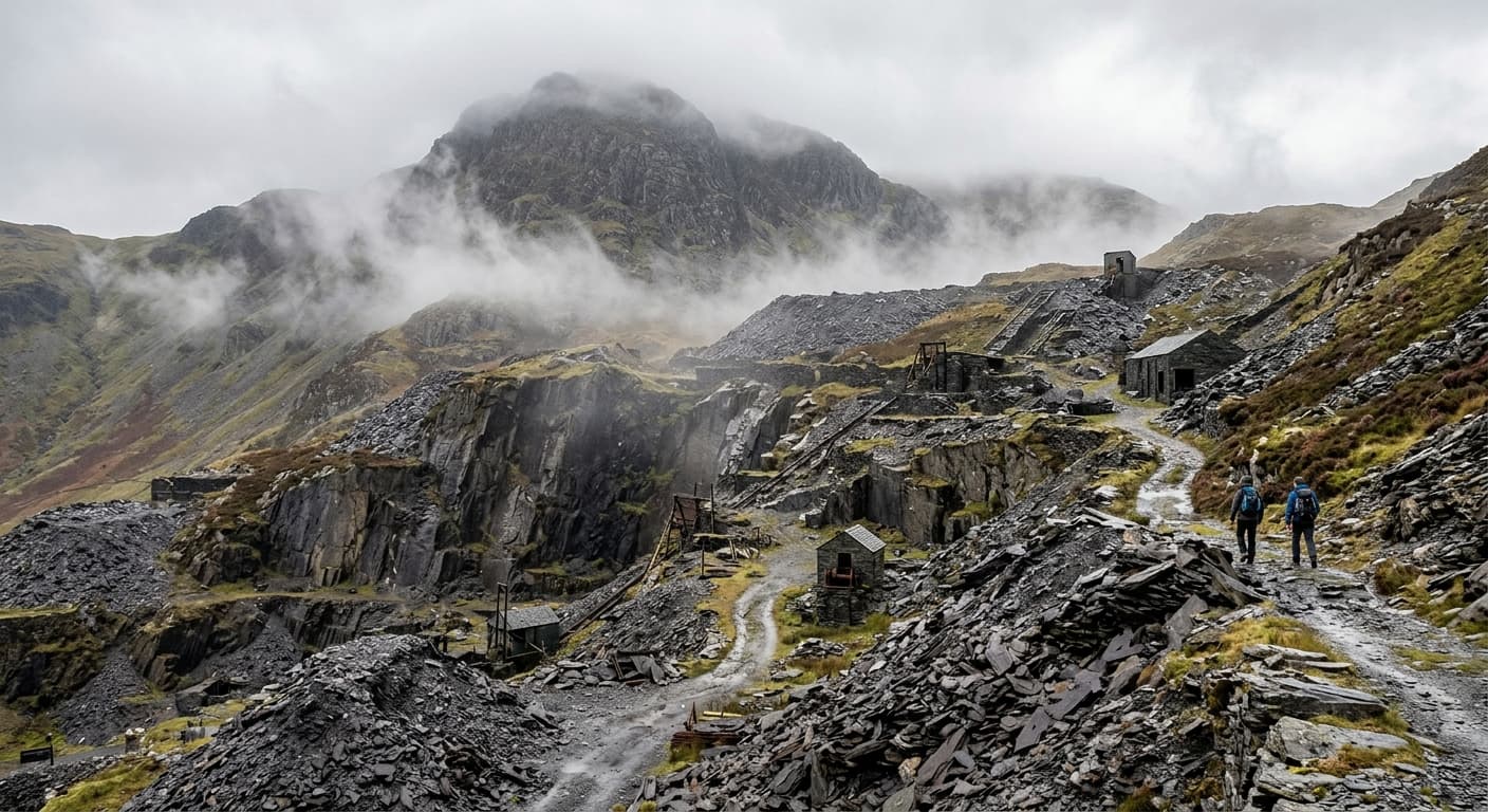
Old Man of Coniston via Walna Scar
The standard quarry-path out-and-back from Walna Scar to the Old Man of Coniston.
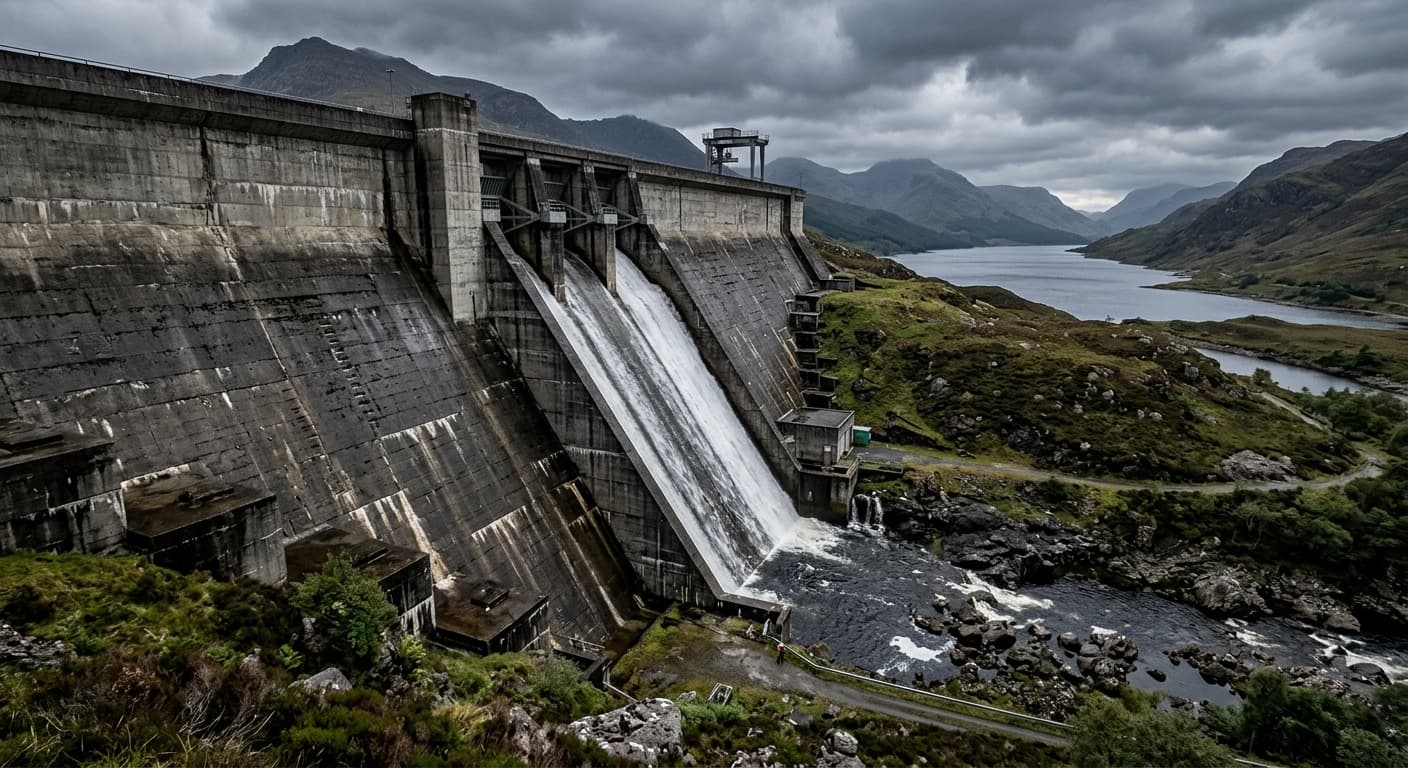
Ben Cruachan via Falls of Cruachan
A demanding out-and-back from Falls of Cruachan via Cruachan Dam and Meall Cuanail to Ben Cruachan.
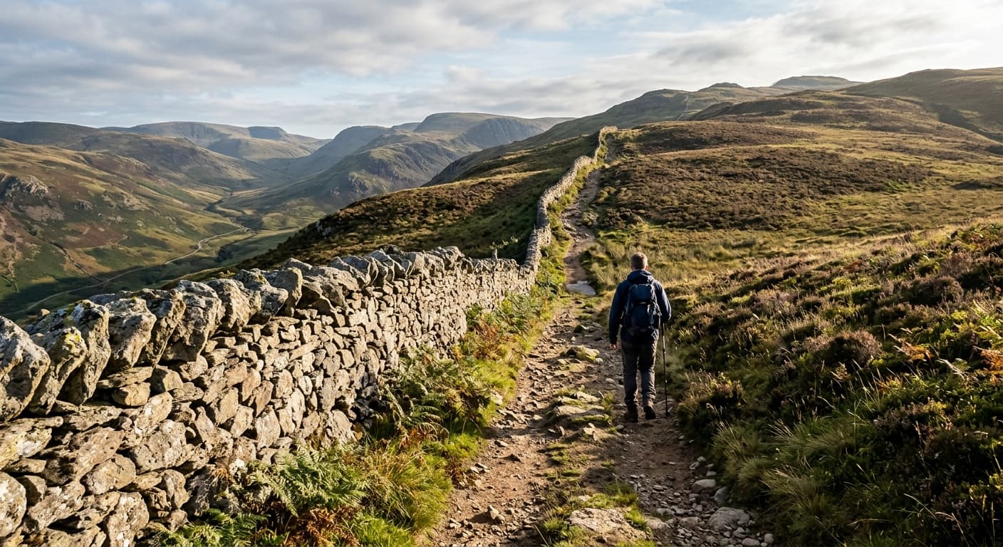
Great Whernside via Kettlewell
A direct out-and-back from Kettlewell via Hag Dyke and open moorland to the summit of Great Whernside.
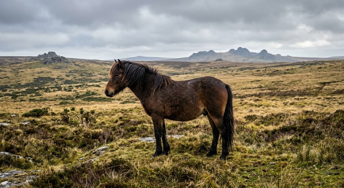
Great Links Tor from the Fox and Hounds: Dartmoor Route Guide
Walk from the Fox and Hounds across the River Lyd and past Arms Tor to Great Links Tor on northwestern Dartmoor.
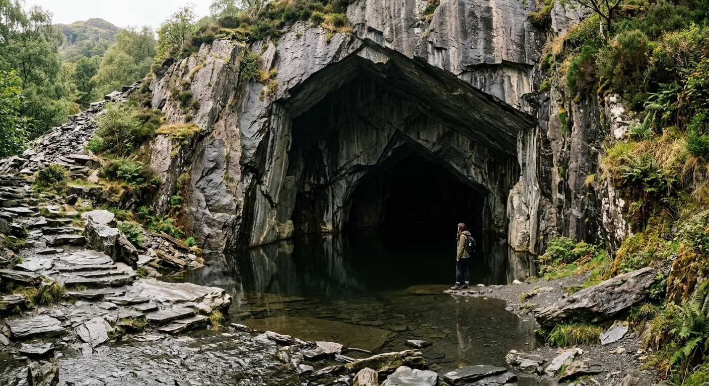
Loughrigg Fell via Pelter Bridge and Rydal Cave
A popular short ascent from Pelter Bridge via Rydal Cave and rocky knolls to Loughrigg Fell.
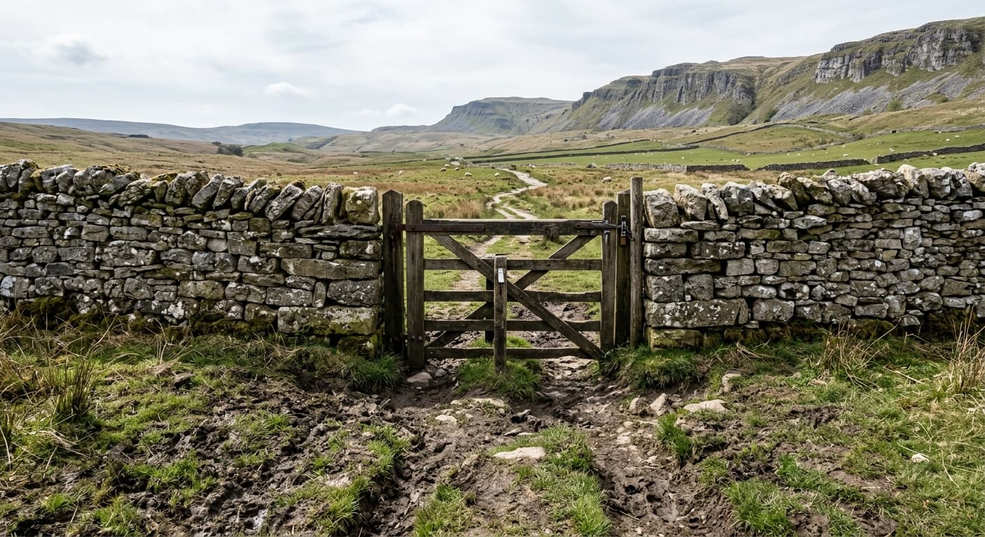
Pen-y-ghent via Brackenbottom
The standard out-and-back from Horton via Brackenbottom and the southern scramble to Pen-y-ghent.
Beinn Alligin via Coire Mhic Nobuil: Sgùrr Mòr Route Guide
Climb Beinn Alligin’s two Munro tops from Coire Mhic Nobuil, following the airy sandstone ridge from Tom na Gruagaich to Sgùrr Mòr before retracing your steps.
Harrison Stickle via Stickle Ghyll
A steep Lake District out-and-back beside Stickle Ghyll and Stickle Tarn to Harrison Stickle's summit.
Rhinog Fawr via the Roman Steps
A serious out-and-back from Cwm Bychan via the Roman Steps and Llyn Du to rugged Rhinog Fawr.
Skiddaw via Gale Road and Jenkin Hill
The standard out-and-back from Gale Road via Jenkin Hill and Little Man to Skiddaw.
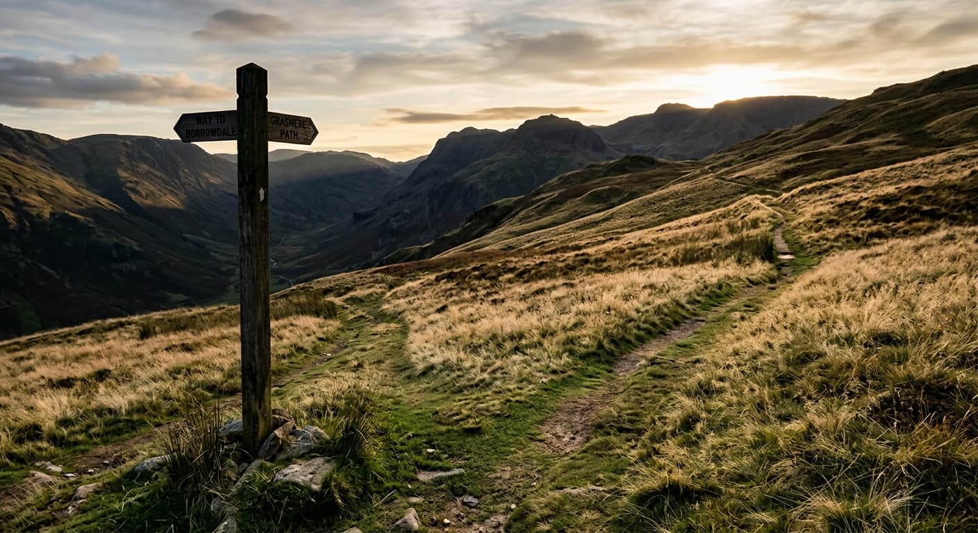
The Calf via Sedbergh and Calders
The classic out-and-back from Sedbergh via Settlebeck and Calders to The Calf.
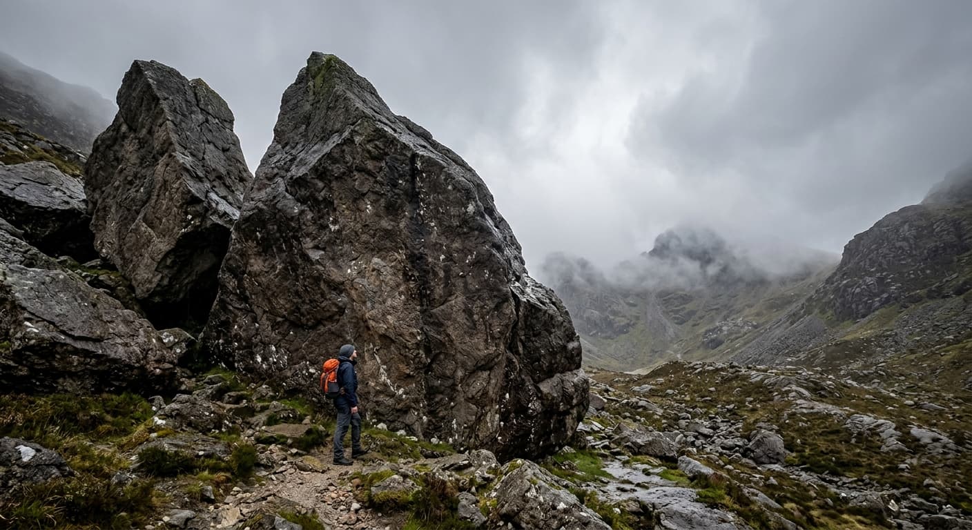
The Cobbler via Succoth and Narnain Boulders
The standard out-and-back from Succoth past Narnain Boulders to The Cobbler's rocky summit area.
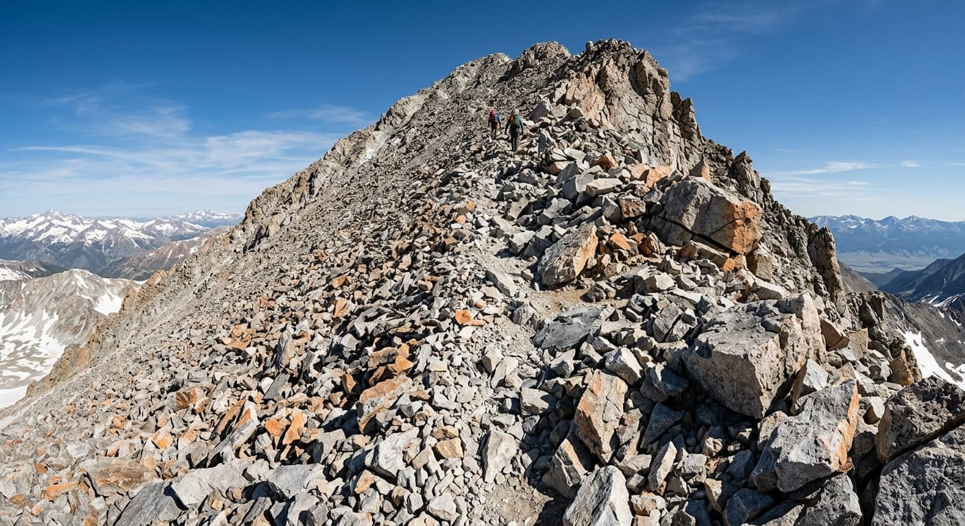
Beinn a' Chaolais from Three Arch Bridge: Jura Route Guide
Cross Jura’s wild, boggy moorland to climb the steep quartzite slopes of Beinn a’ Chaolais on this challenging out-and-back from Three Arch Bridge.
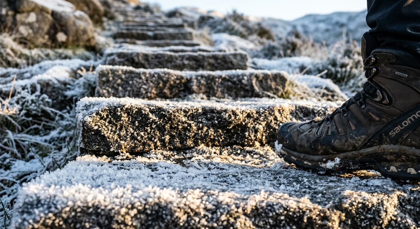
Mam Tor via Mam Nick
The popular, family-friendly stone path from Mam Nick to Mam Tor's summit and Iron Age hillfort.
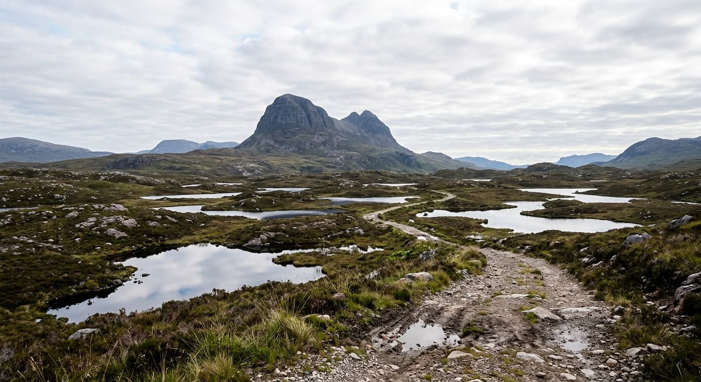
Suilven via Glencanisp and Caisteal Liath
A remote 20 km out-and-back from Glencanisp via Bealach Mòr to Suilven's Caisteal Liath summit.
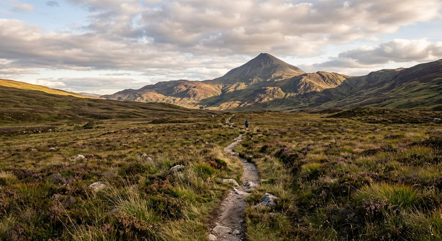
Great Sugar Loaf via Red Lane
The popular short ascent of Great Sugar Loaf from Red Lane, following open moorland and a rocky summit path.
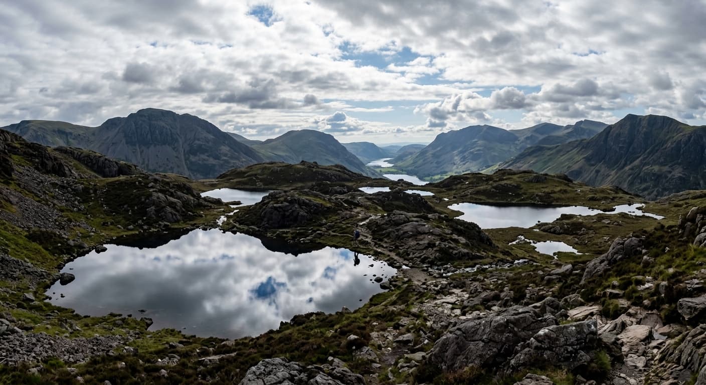
Haystacks via Scarth Gap
A classic out-and-back from Gatesgarth via Scarth Gap, with a rocky finish onto Haystacks' intricate summit.
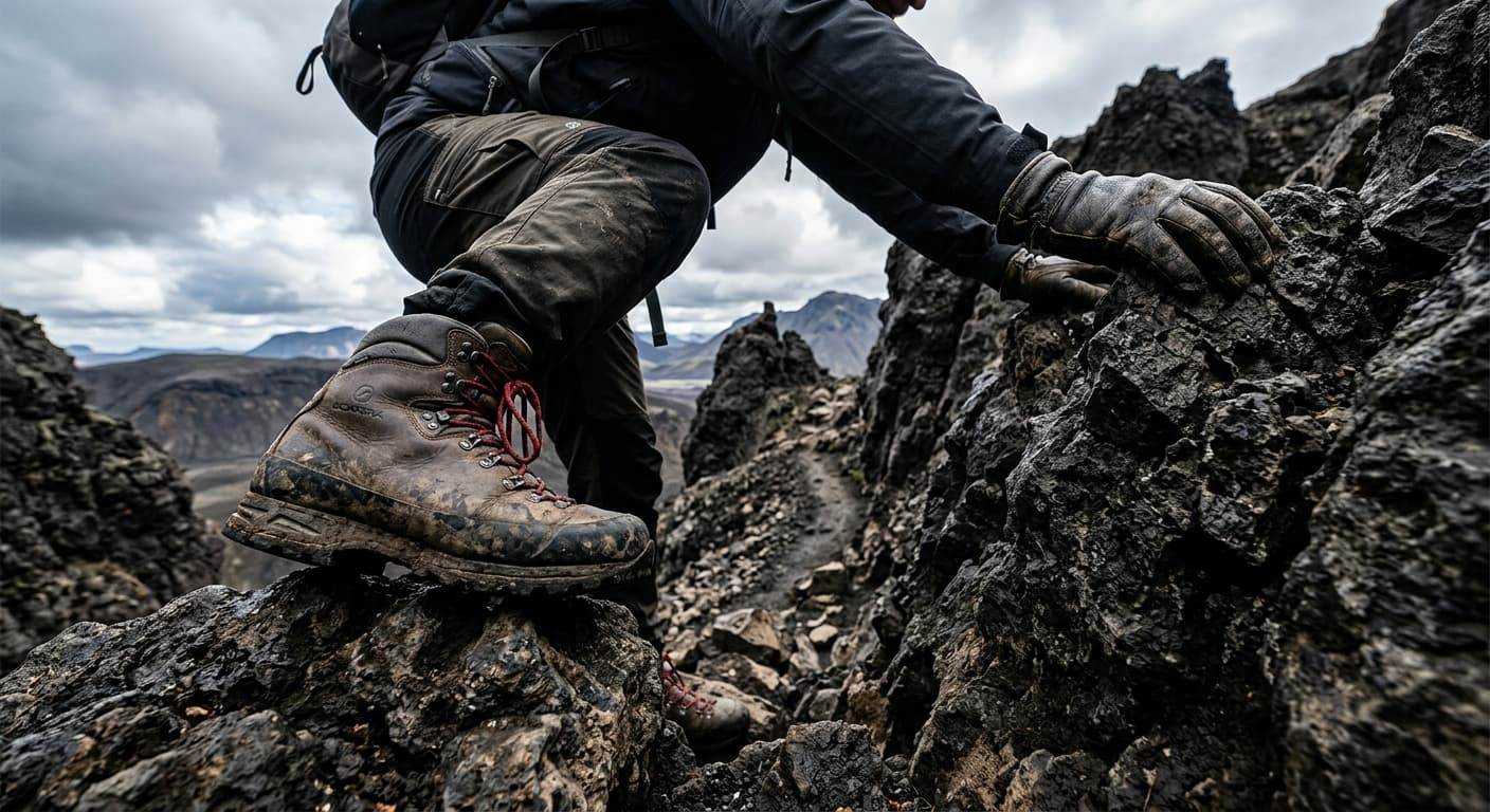
Fleetwith Pike via Fleetwith Edge: Buttermere Route Guide
Climb Fleetwith Pike directly from Gatesgarth on the steep and airy Fleetwith Edge ridge above Buttermere.
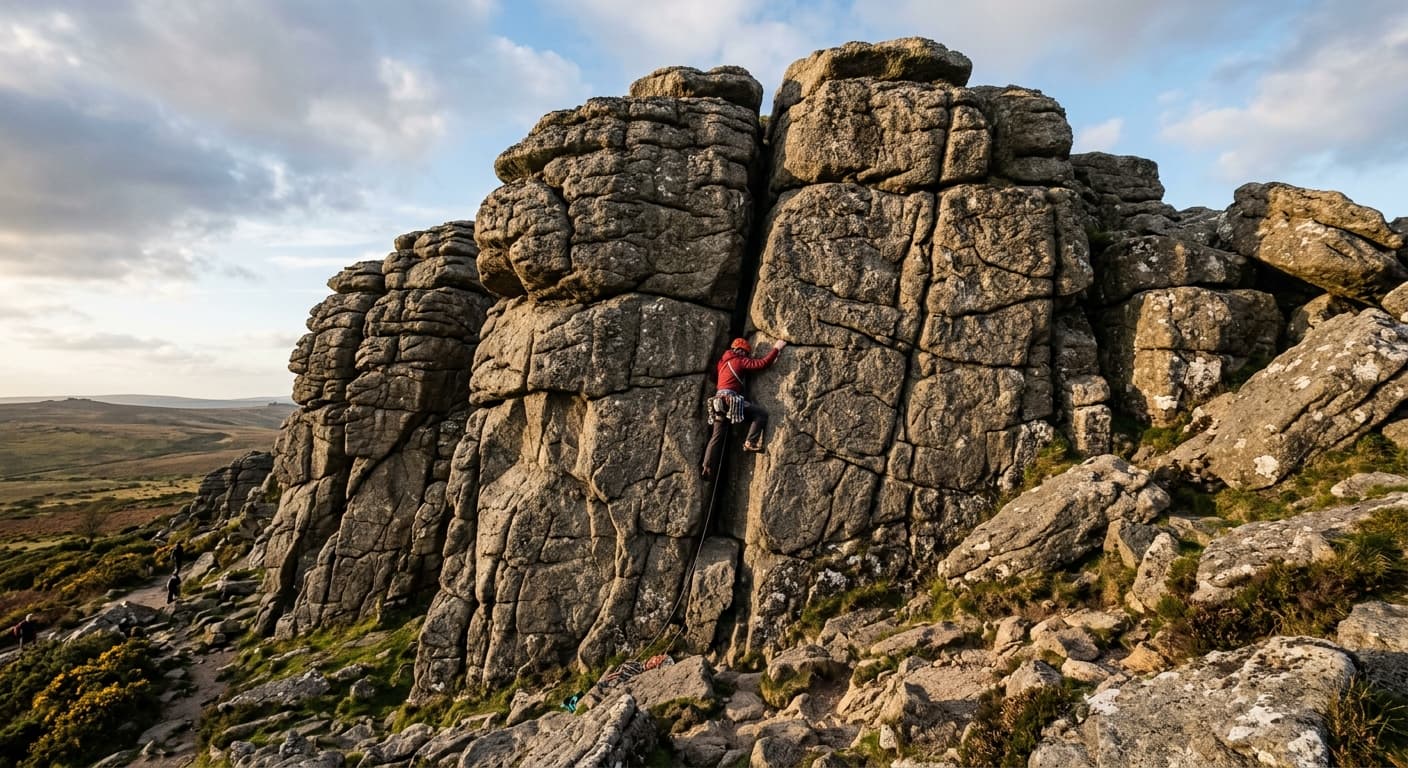
Haytor Rocks via Visitor Centre
A short, direct walk from Haytor Visitor Centre across open moorland to the foot of Haytor Rocks.
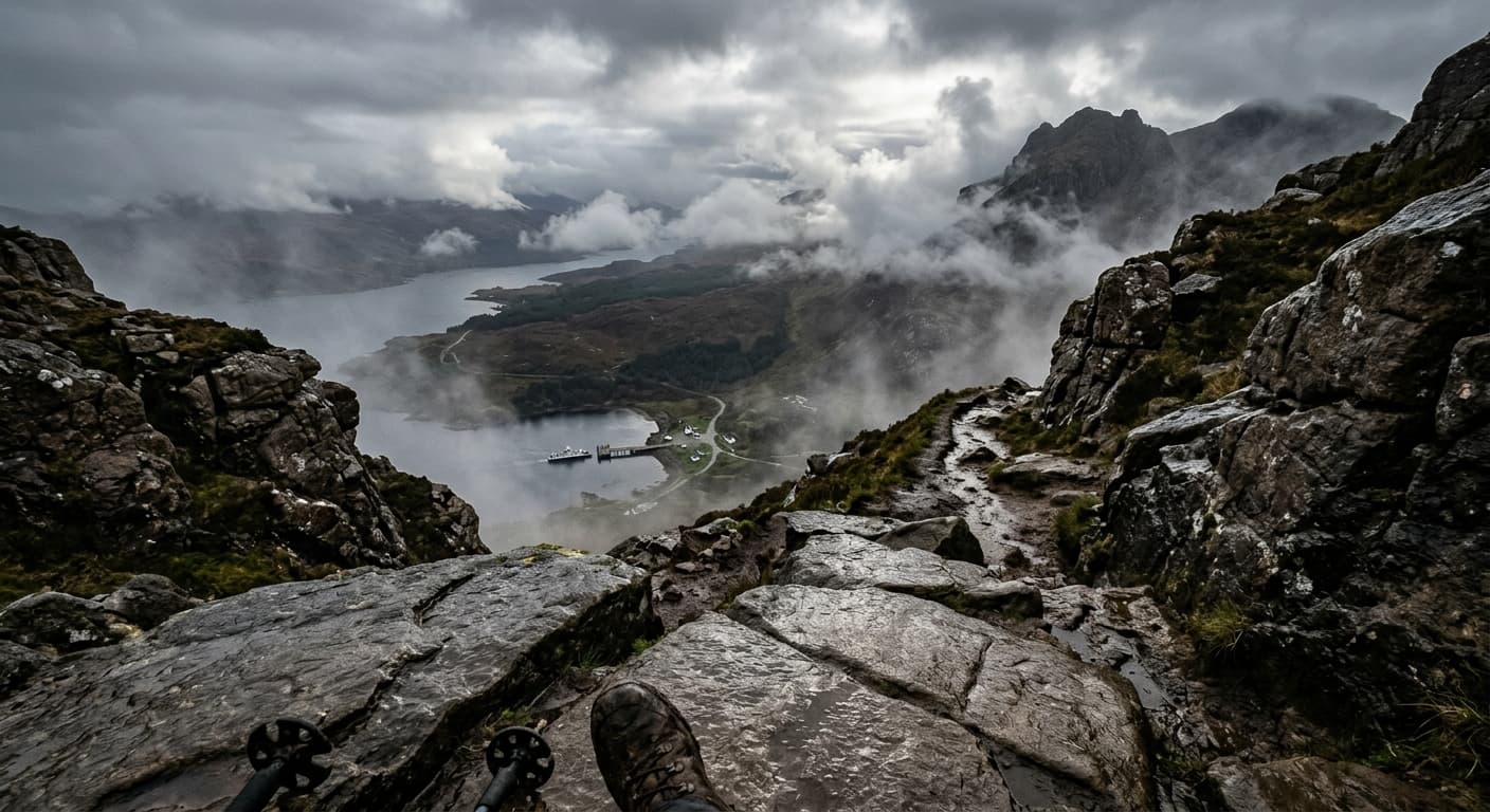
Askival via Hallival from Kinloch: Rum Route Guide
Take on Rum’s highest peak by the classic Kinloch and Hallival approach—a demanding mountain route with exposed scrambling, island views and serious terrain.
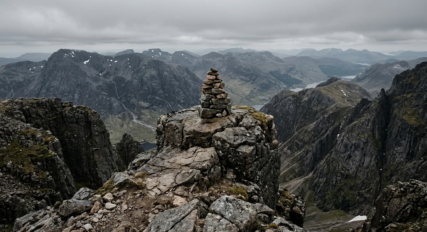
Cìr Mhòr via Glen Rosa and The Saddle: Arran Route Guide
Follow Glen Rosa to The Saddle and climb Cìr Mhòr’s steep southern ridge on a serious out-and-back into Arran’s granite heart.
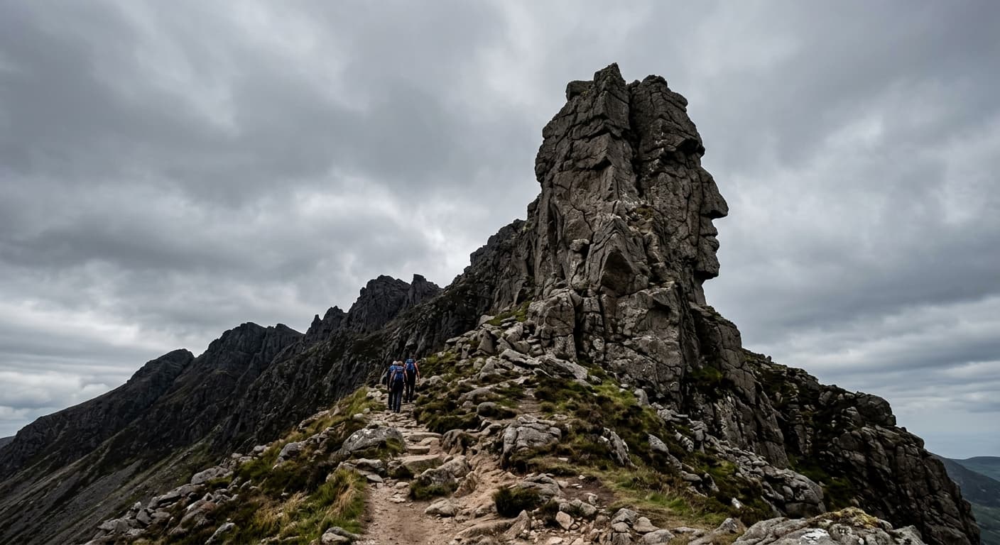
Beinn Tarsuinn via Glen Rosa: Arran Route Guide
Climb Beinn Tarsuinn through Glen Rosa, crossing Beinn Nuis and the rocky ridge past the Old Man of Tarsuinn before returning the same way.
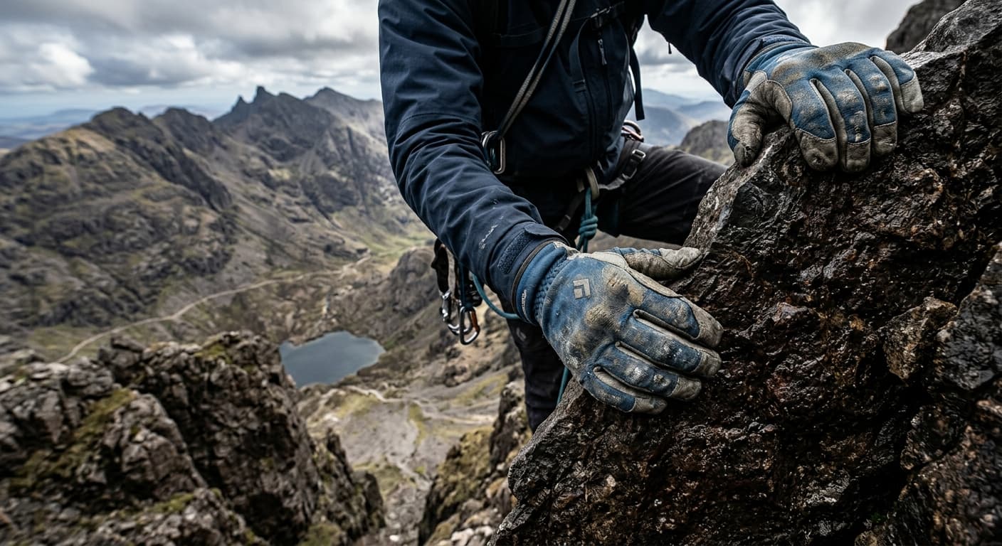
Sgùrr Alasdair via Glen Brittle and the Great Stone Chute
A severe mountaineering out-and-back from Glen Brittle via Coire Lagan, the Great Stone Chute and Grade 2 scrambling.
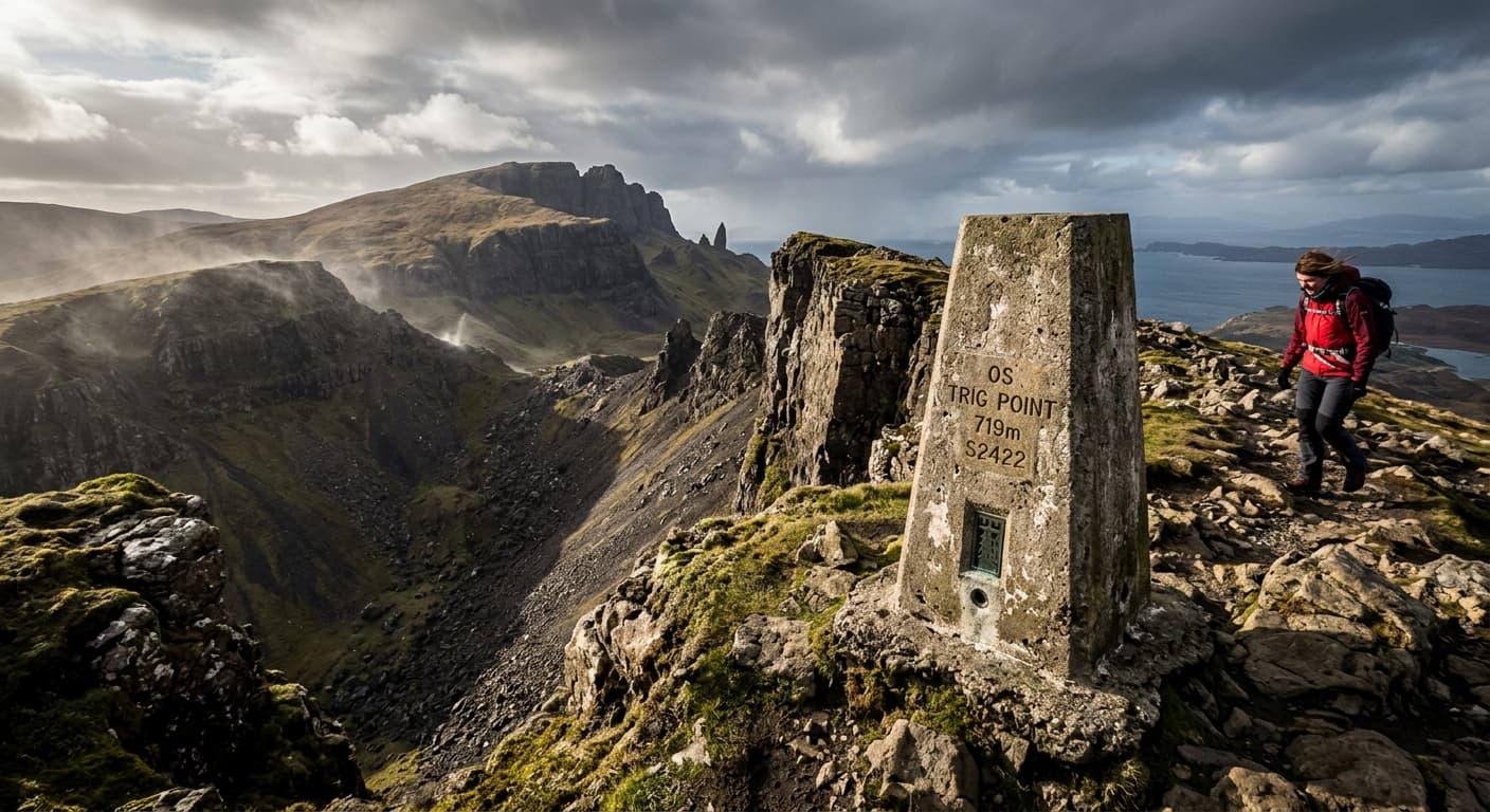
The Storr via Storr Car Park and Coire Scamadal
A serious out-and-back from Storr Car Park past the Old Man sanctuary and Coire Scamadal to The Storr summit.
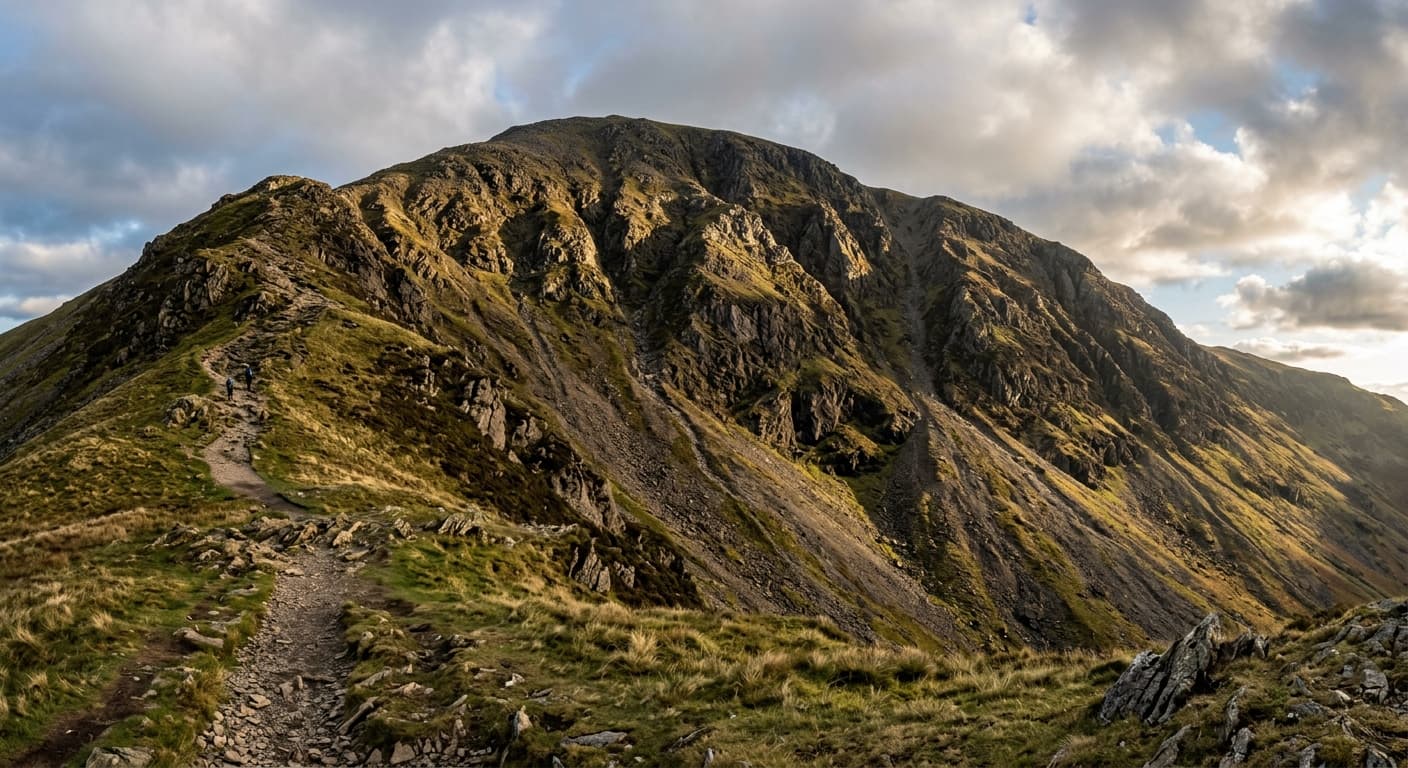
Grasmoor via Lad Hows from Cinderdale: Route Guide
Take the direct Lad Hows ridge from Cinderdale Common to Grasmoor on a short but exceptionally steep Lake District climb.
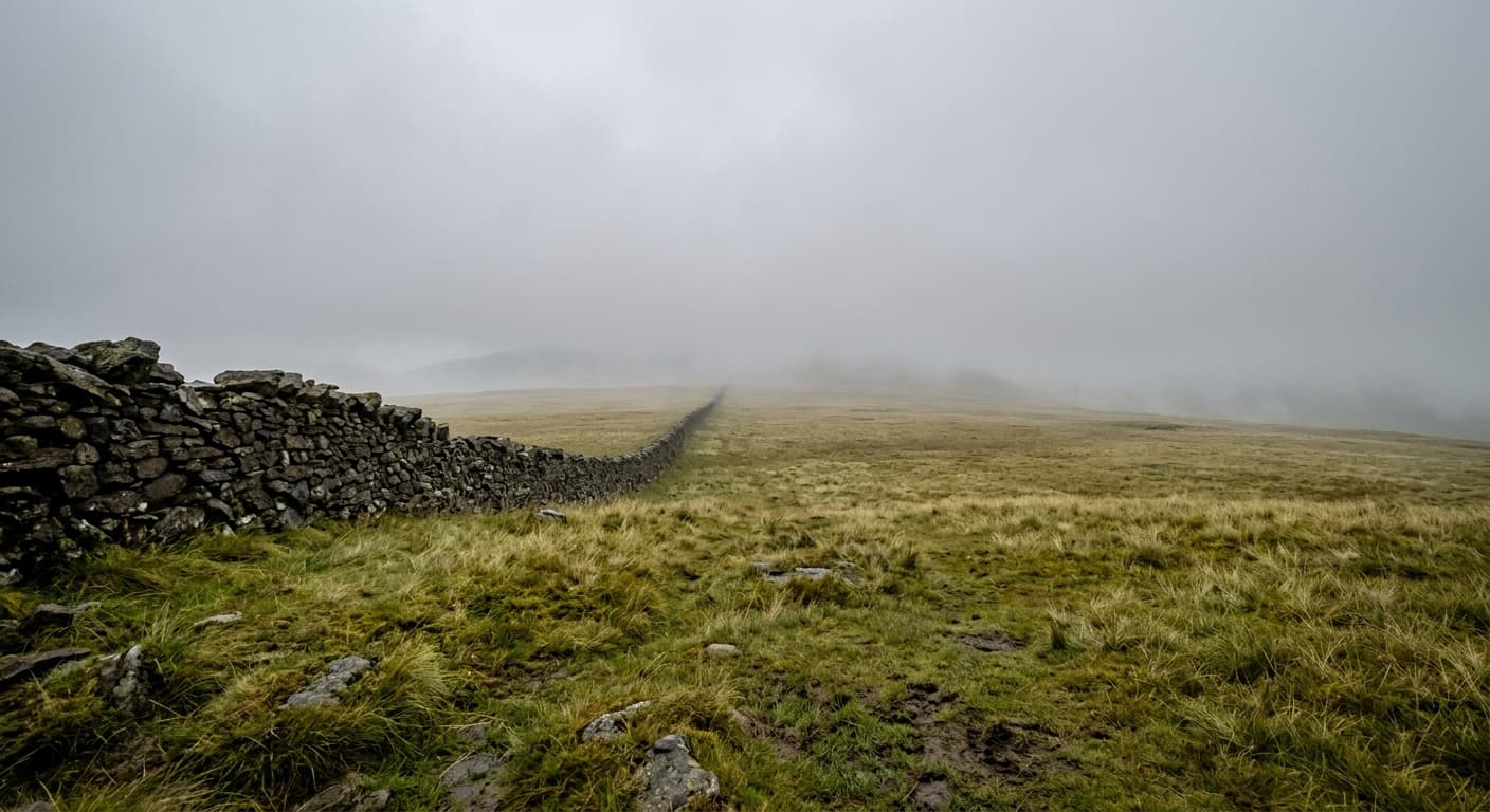
High Street via Rough Crag
A demanding classic ascent from Mardale Head over Rough Crag and Long Stile to High Street.
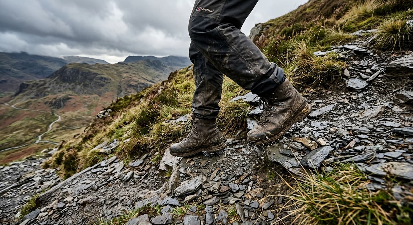
Dale Head from Honister Pass: Route Guide
Climb Dale Head directly from Honister Pass on a short, steep ridge of grass and slate to the famous Newlands viewpoint.
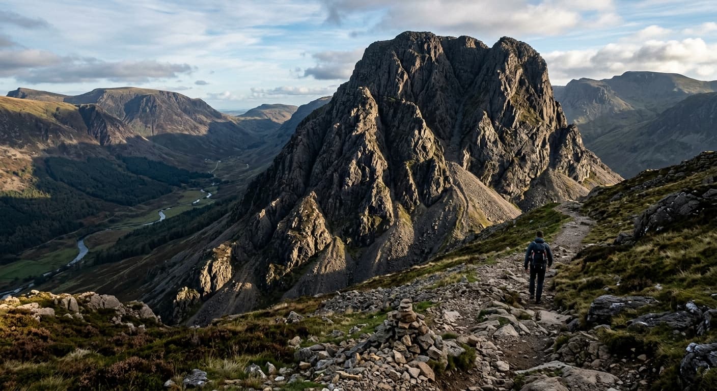
Pillar via Wasdale Head and Black Sail Pass
A long and demanding out-and-back from Wasdale Head via Black Sail Pass and Looking Stead to Pillar.
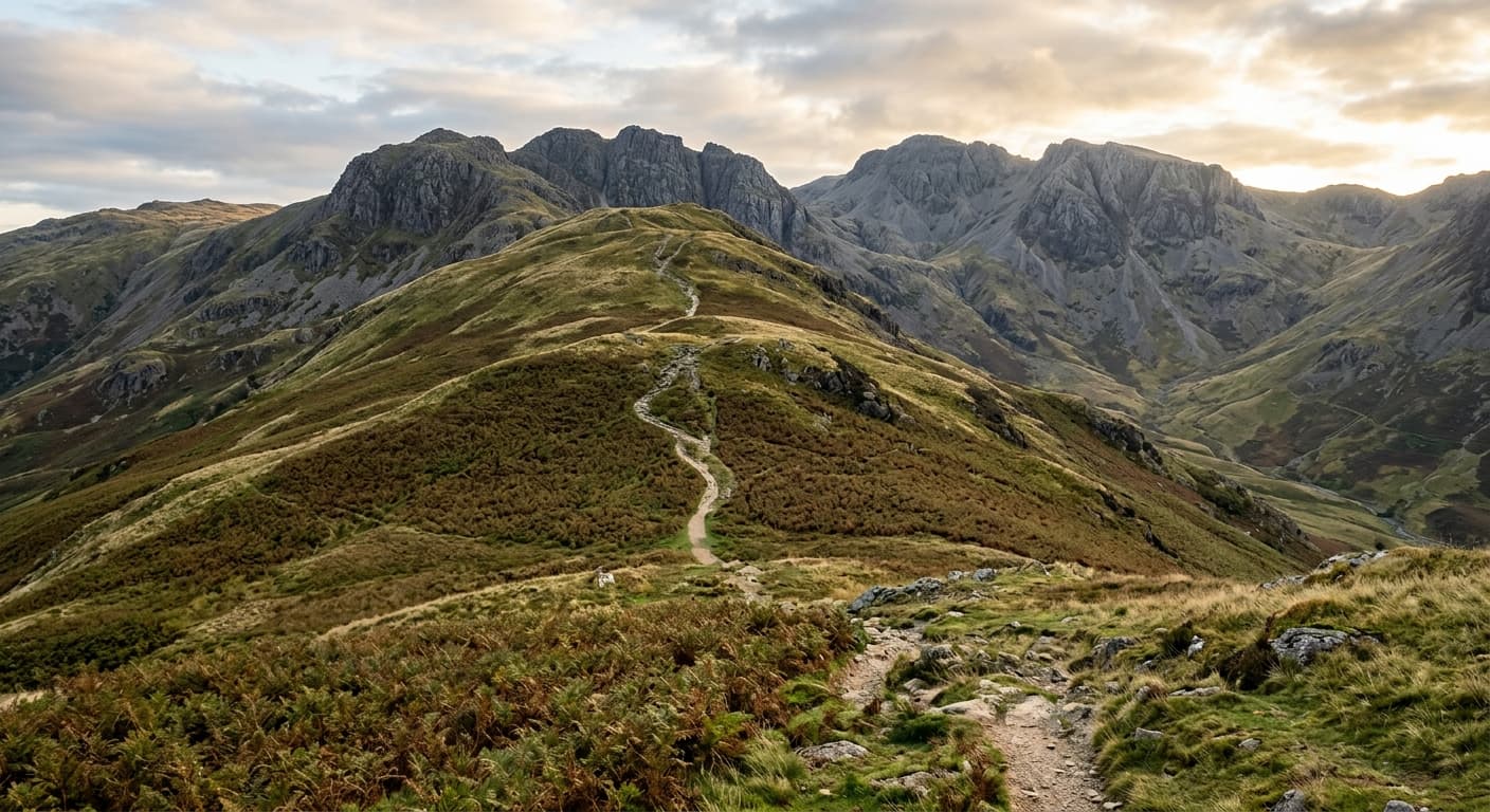
Bowfell via The Band from Great Langdale: Route Guide
Climb Bowfell from Great Langdale by the classic Band route, passing Three Tarns before tackling the rocky final ascent to the summit.
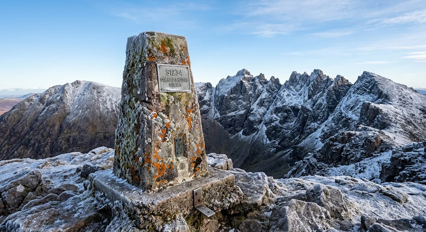
An Teallach via Bidein a' Ghlas Thuill: Dundonnell Route Guide
Climb Bidein a’ Ghlas Thuill from Dundonnell on the northern path, then return the same way. This route stops before An Teallach’s exposed ridge.
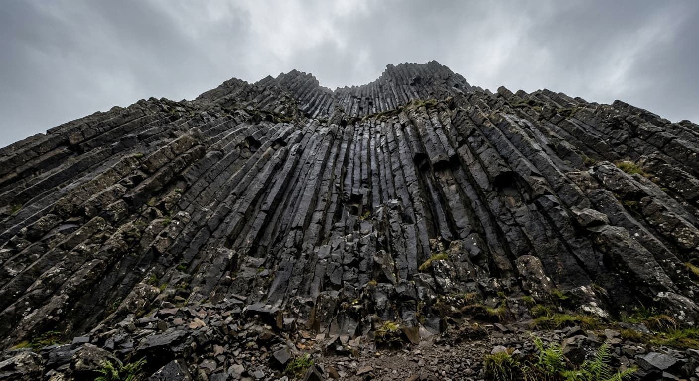
An Sgùrr from Galmisdale: Eigg Route Guide
Climb Eigg’s unmistakable pitchstone summit from Galmisdale on this 9.7 km out-and-back route, combining a boggy moorland approach, a short rocky scramble and huge Small Isles views.
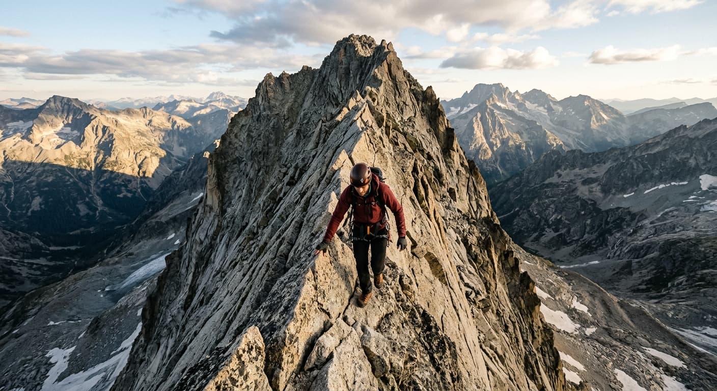
Sgùrr nan Gillean via the Southeast Ridge
Follow the GPX-backed 12.7 km out-and-back from Sligachan to Sgùrr nan Gillean via the exposed Southeast Ridge. This serious Grade 3 scramble gains 937 m and demands dry, calm conditions, confident route-finding and careful downclimbing.
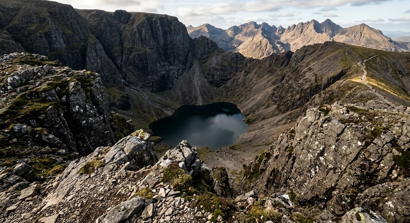
Cadair Idris via the Minffordd Path
Climb Cadair Idris from Dôl Idris on the steep Minffordd Path, following an 8.6 km out-and-back GPX with 887 m of ascent. Allow longer than the 3h 12m GPX estimate for the strenuous climb, summit navigation and careful descent.
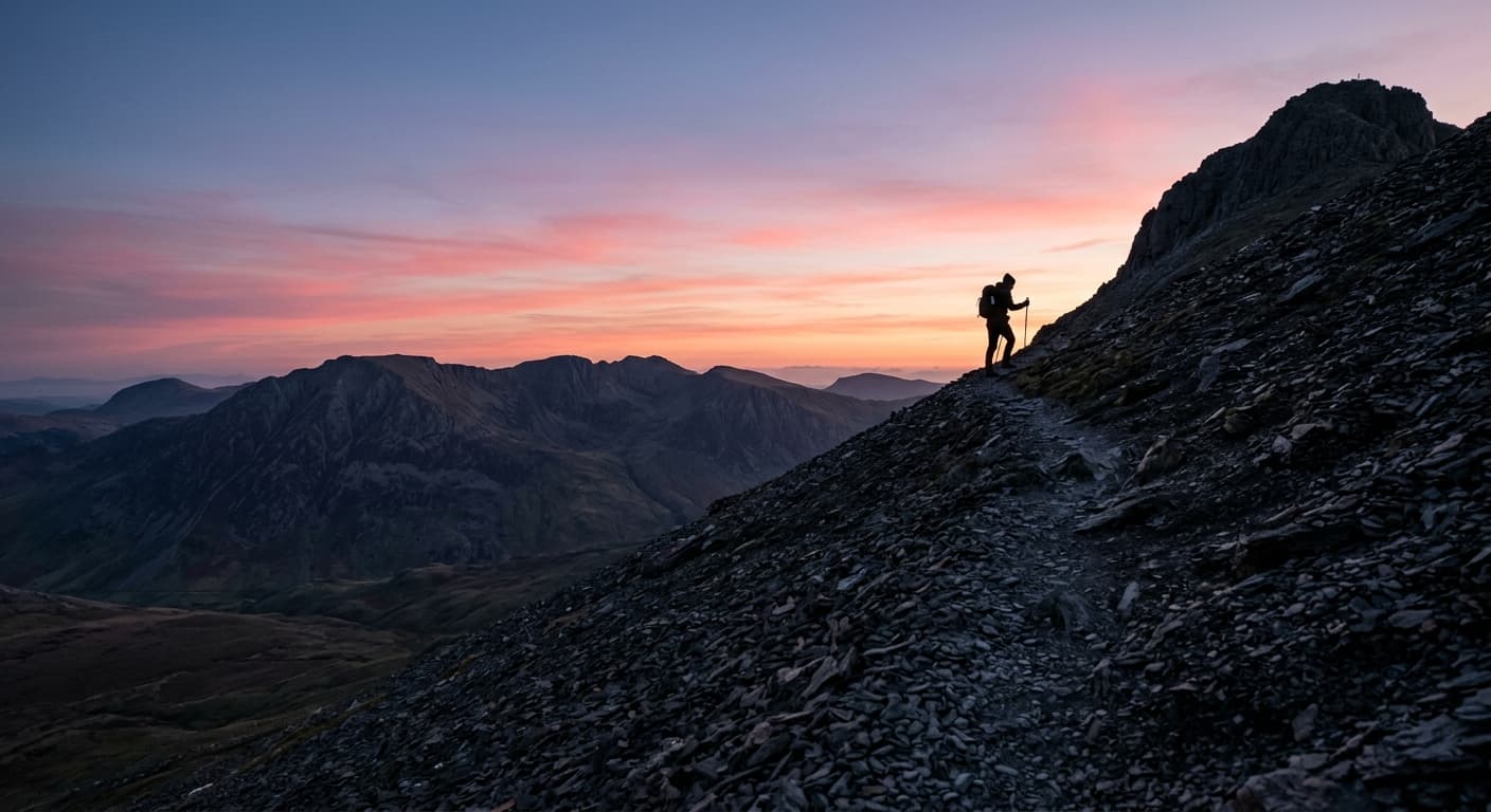
Y Garn via Llyn Idwal and Devil’s Kitchen
Follow this GPX on an 8.2 km out-and-back to Y Garn via Llyn Idwal, the steep path beside Twll Du and Llyn y Cwn. The route gains 725 m and has a GPX-derived estimate of 2 hours 51 minutes, with rough, loose and often slippery mountain terrain.
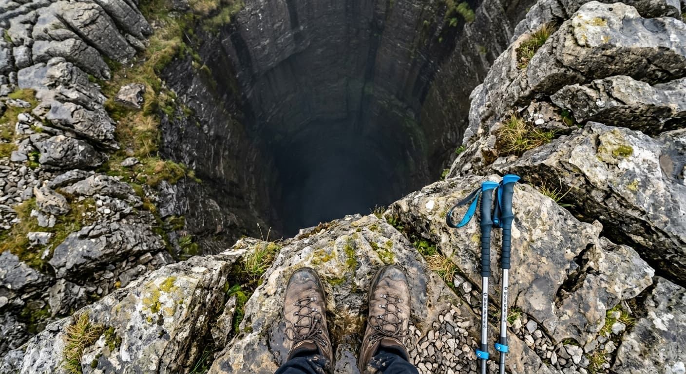
Ingleborough from Clapham via Trow Gill
Follow this 14.9 km GPX out-and-back from Clapham to Ingleborough via Ingleborough Cave, Trow Gill, Gaping Gill and Little Ingleborough. It gains 666 m and has a 4h 06m walking estimate, with serious navigation and pothole hazards clearly explained.
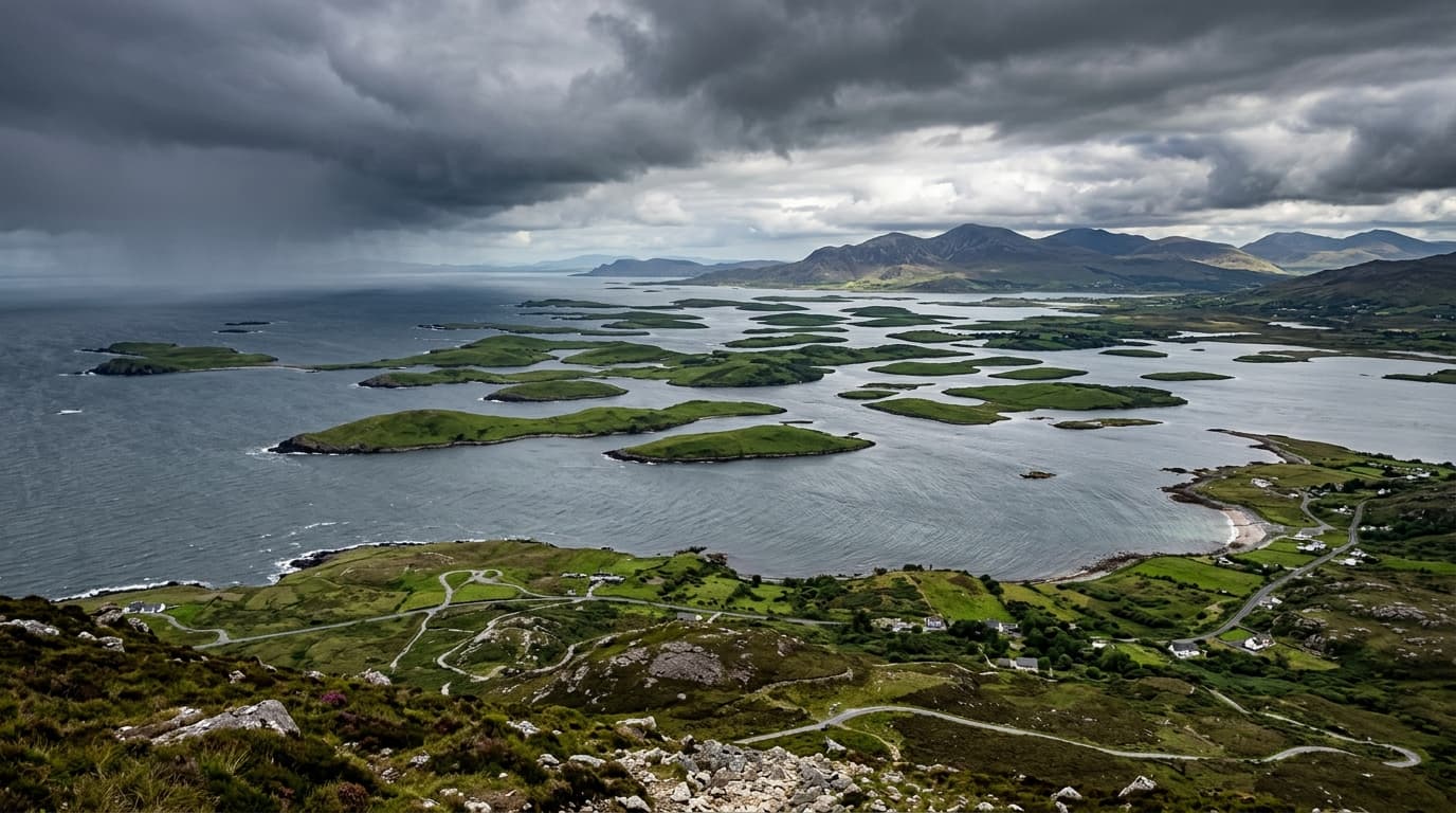
Croagh Patrick via Cosán Phádraig from Murrisk
Climb Croagh Patrick from Murrisk on this 7.4 km out-and-back GPX, following the restored stone Pilgrim Path to the 764 m summit. The route gains 731 m and has a 2h 42m estimate, with current advice for steep terrain, Atlantic weather and Reek Sunday crowds.
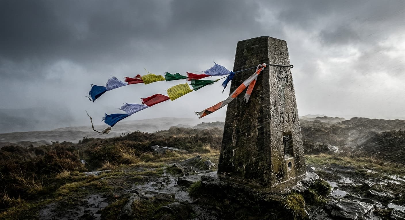
Snaefell from the Bungalow
Walk from Bungalow Station to the Isle of Man’s 621 m summit on this short 2.8 km out-and-back GPX. The route gains 208 m and has a 55-minute estimate, with practical advice for steep slippery ground, fast-changing weather and the nearby Mountain Railway.
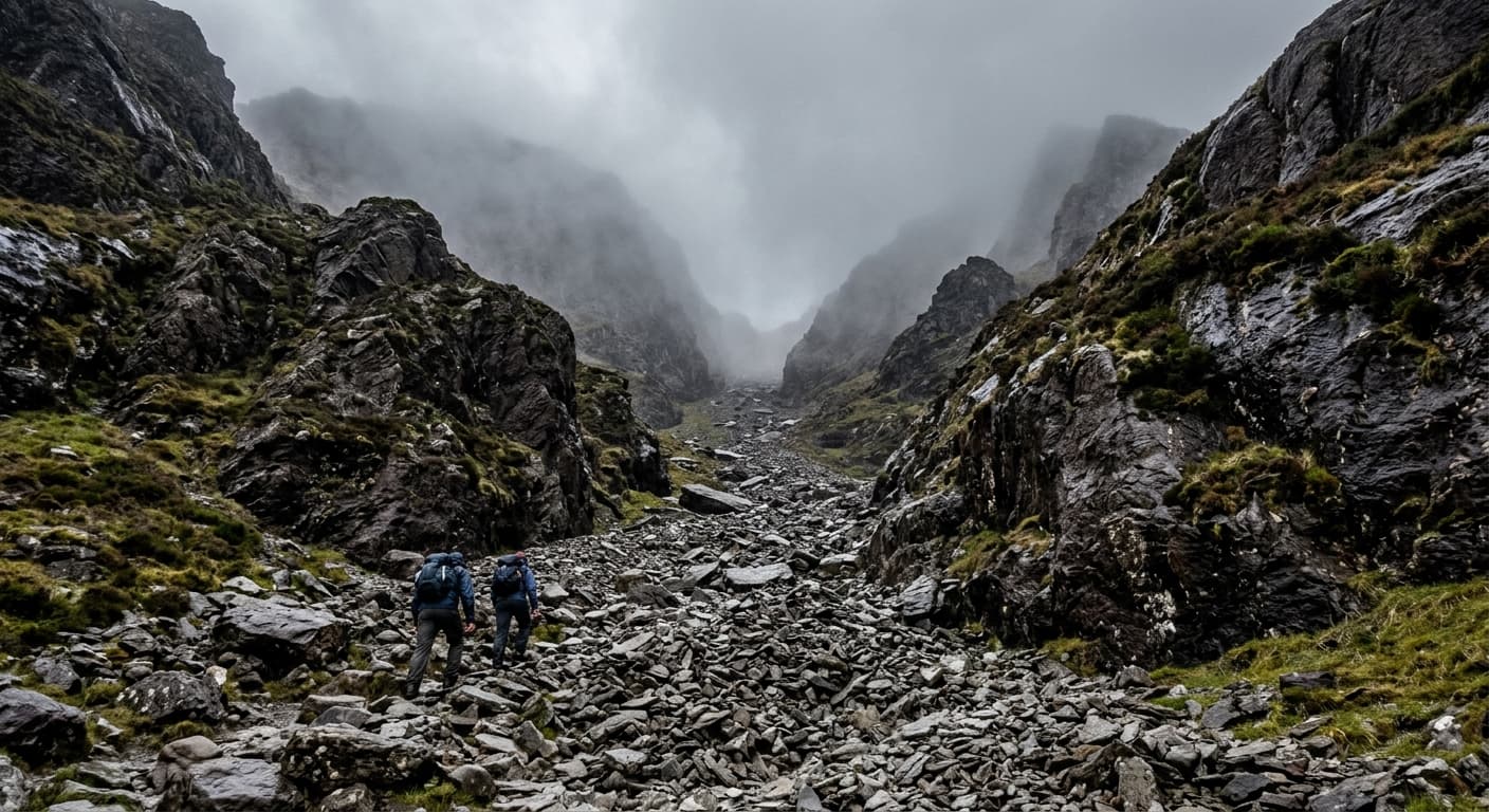
Carrauntoohil via the Devil’s Ladder
Climb Ireland’s highest mountain from Cronin’s Yard on this 12.1 km out-and-back GPX via Hag’s Glen and the loose, unstable Devil’s Ladder. The route gains 881 m and has a 3h 53m estimate, with detailed rockfall, weather and summit-navigation warnings.
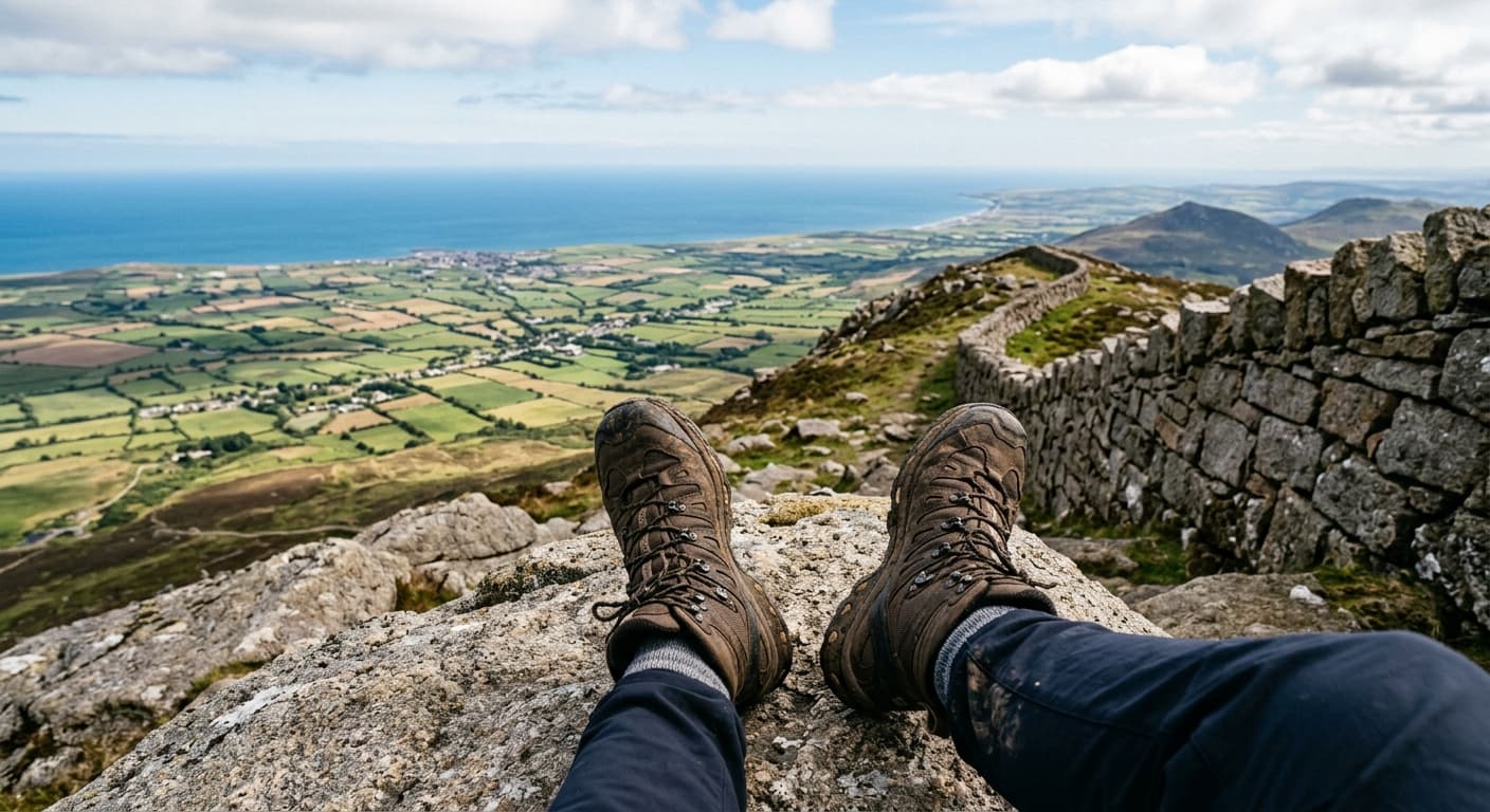
Slieve Donard via the Glen River
Climb from Donard Park to Northern Ireland’s 850 m high point on this 9.4 km out-and-back GPX via the Glen River and Mourne Wall. It gains 840 m and has a 3h 17m estimate, with current advice for restored paths, steep granite and summit navigation.
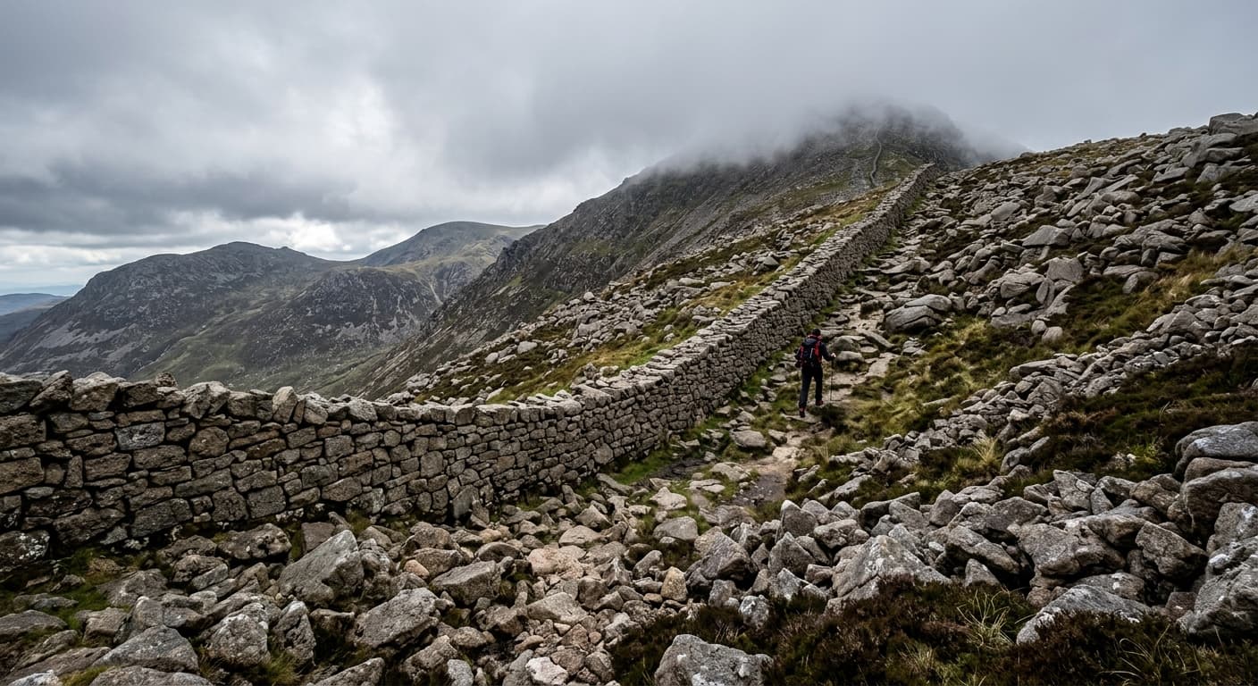
Slieve Binnian from Carrick Little
A steep, strenuous 7.3 km out-and-back from Carrick Little to Slieve Binnian's granite summit tors, climbing 576 m beside the Mourne Wall.
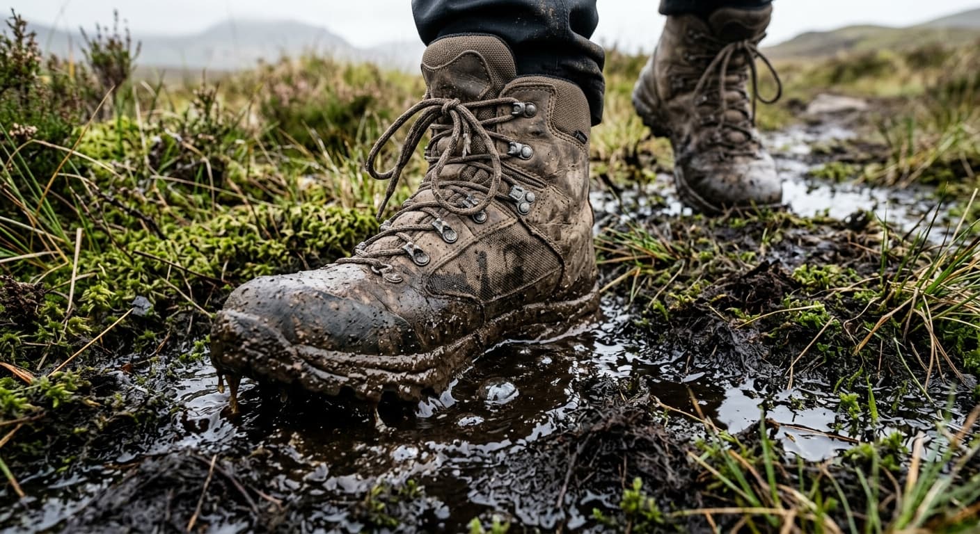
The Cheviot via Scald Hill from Harthope Valley
A direct 10.8 km out-and-back to Northumberland's highest summit via Scald Hill, with 607 m of ascent, wet peat and an exposed plateau.
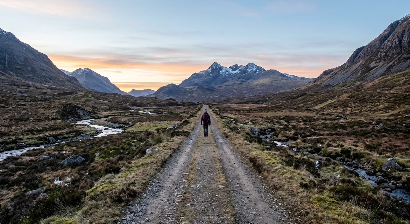
Sgùrr na Strì from Sligachan
A remote 23.8 km out-and-back through Glen Sligachan to Sgùrr na Strì's celebrated Cuillin viewpoint, with rough pathless route-finding at the end.
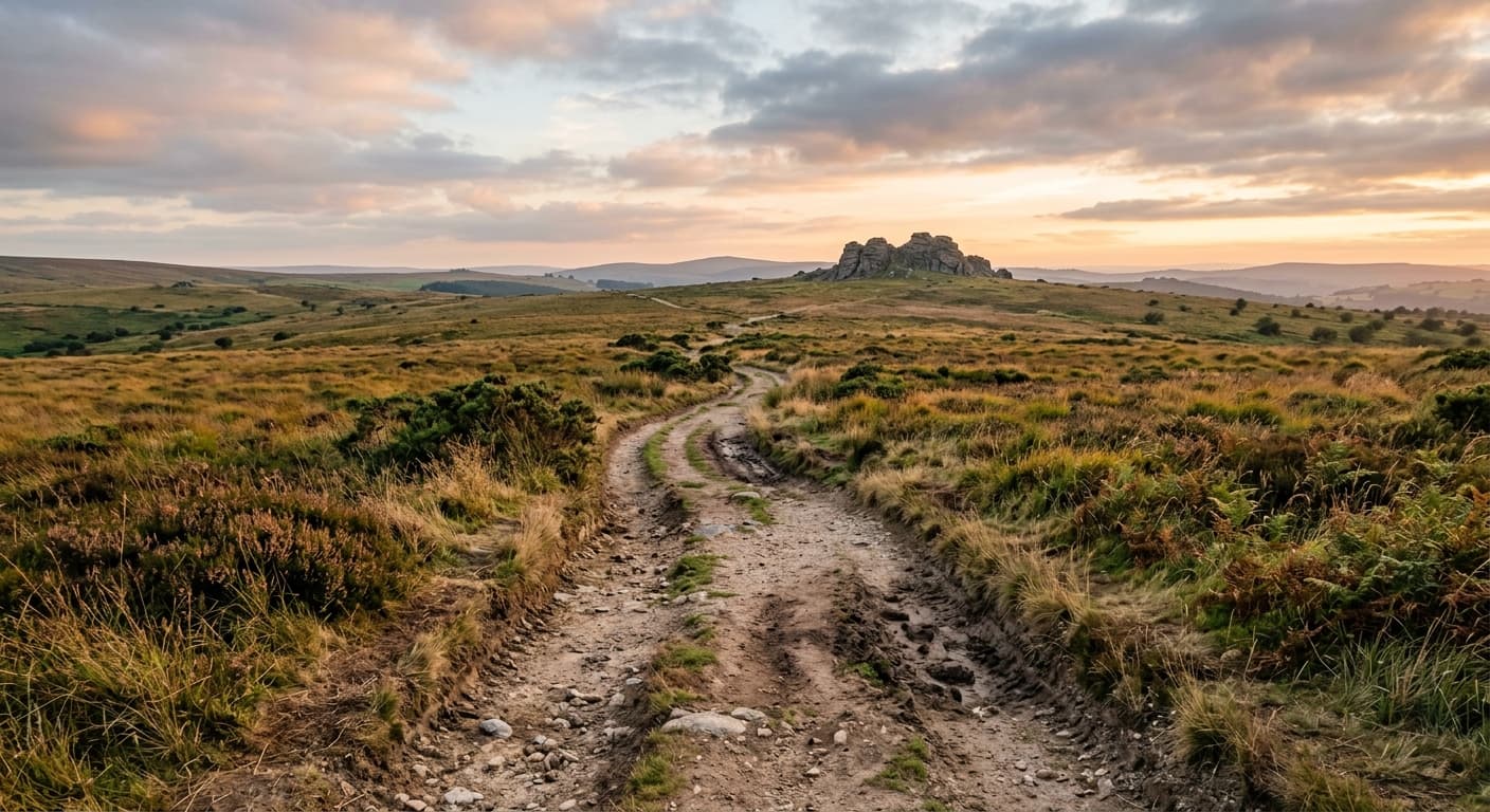
Hound Tor from Swallerton Gate
An easy 1.0 km out-and-back from Swallerton Gate to Hound Tor's granite outcrops, with 37 m of ascent and wide eastern Dartmoor views.
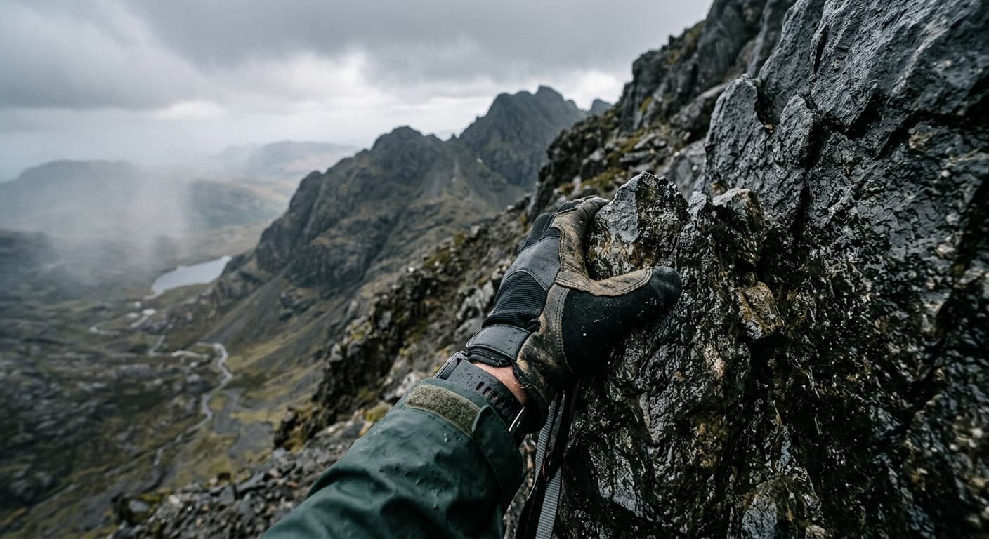
Blà Bheinn via Coire Uaigneich from Loch Slapin
A strenuous 10.5 km out-and-back to Blà Bheinn from Loch Slapin, climbing 915 m through Coire Uaigneich, loose scree and a short easy scramble.

Goatfell from Cladach
A strenuous 9.0 km out-and-back from Cladach to Arran's highest summit, climbing 725 m on the maintained tourist path and rocky upper slopes.
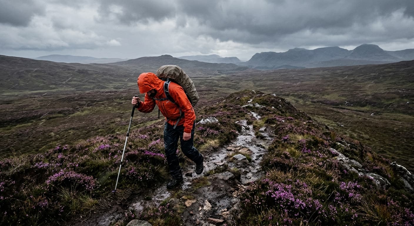
Dunkery Beacon from Dunkery Gate
A short 2.6 km out-and-back from Dunkery Gate to Exmoor's 519 m high point, with 131 m of ascent on an exposed stony moorland path.
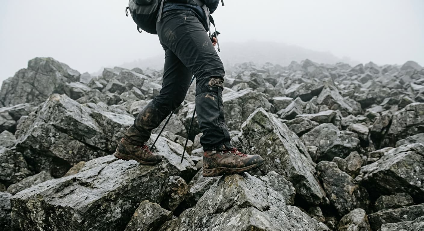
Scafell Pike via the Corridor Route from Wasdale
A serious 17.4 km mountain day from Wasdale to Scafell Pike via Sty Head and the spectacular Corridor Route, with 980 m of ascent. Expect rough, exposed terrain, a short rocky downclimb and crucial navigation around Piers Gill.
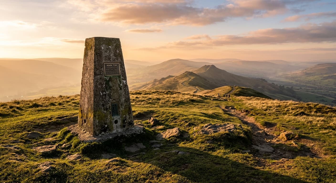
Mam Tor from Mam Nick Car Park
A short, steep 1.4 km out-and-back from Mam Nick to Mam Tor’s 517 m summit, gaining 88 m on a stone-pitched path. Big Hope Valley and Edale views make this a rewarding quick walk, but the exposed top and wet steps still deserve care.
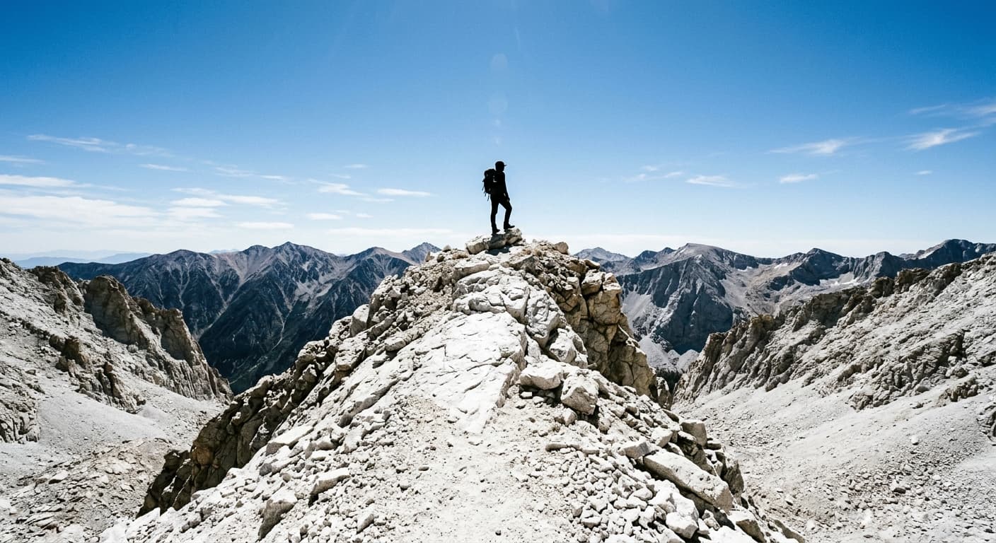
Liathach: Spidean a' Choire Léith from Glen Torridon
A severe 7.4 km out-and-back to Liathach’s 1,055 m high point from the A896, packing 1,208 m of ascent into a short horizontal distance. Expect relentless steep ground, rough quartzite, exposure and serious navigation—without the Am Fasarinen traverse.
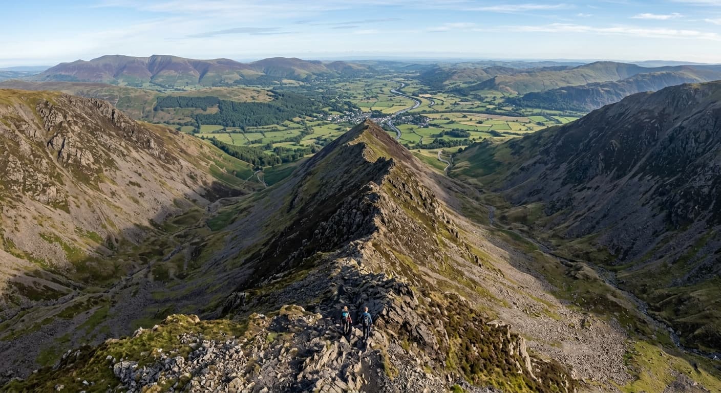
Blencathra via Hall's Fell Ridge from Threlkeld
A direct, severe 6.4 km out-and-back from Threlkeld to Blencathra’s 868 m summit, gaining 715 m on Hall’s Fell Ridge. The classic Grade 1 scramble is exposed, polished when wet and more committing when downclimbed on the return.
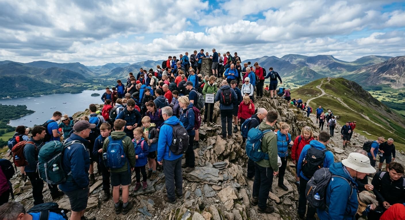
Catbells from Hawes End via Skelgill Bank
A compact 4.0 km out-and-back from Hawes End to Catbells, gaining 324 m via Skelgill Bank. The popular ridge gives outstanding Derwentwater views, with steep stone, minor hands-on scrambling and a careful descent.
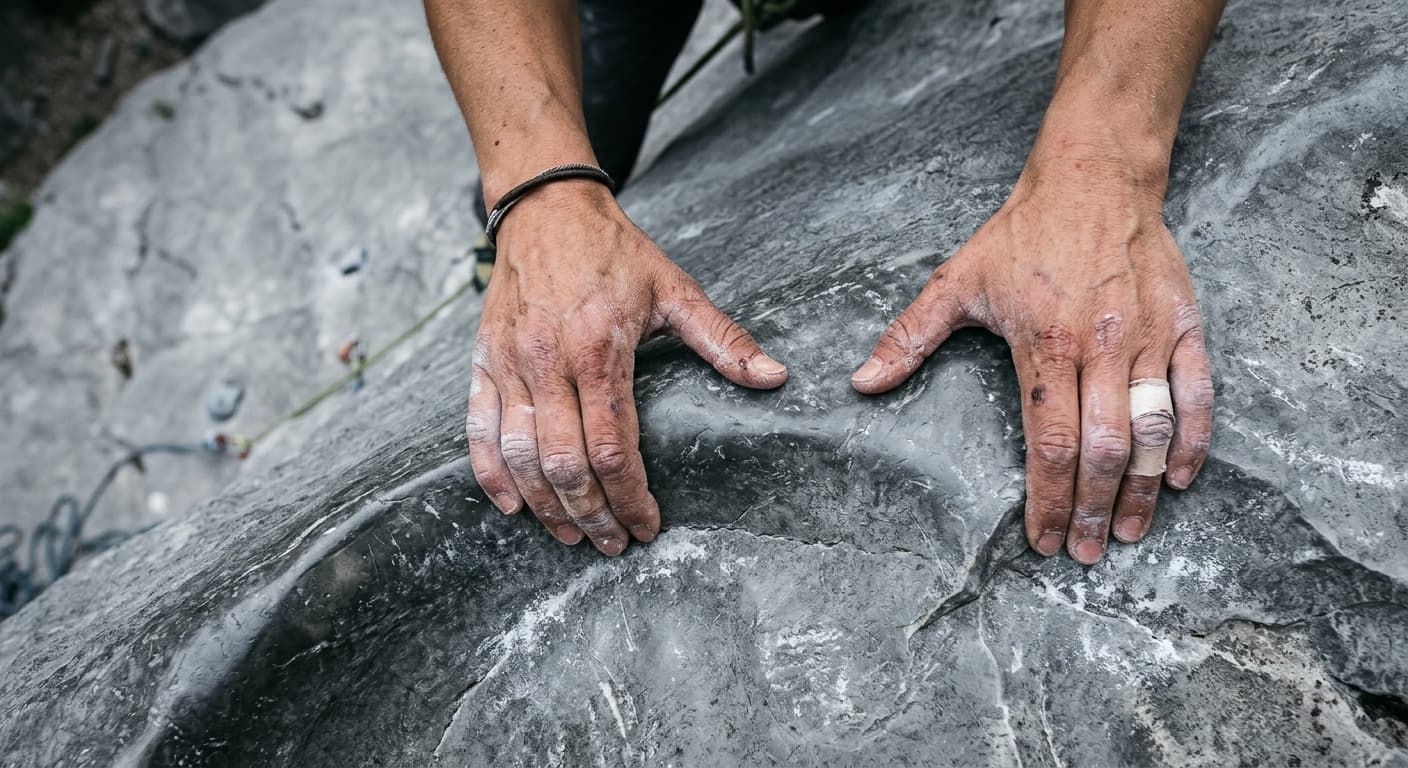
Tryfan North Ridge Out-and-Back from the A5
A severe 2.7 km out-and-back scramble from the A5 to Tryfan’s 918 m summit, gaining 621 m on the classic North Ridge. Sustained Grade 1 rock, complex route-finding and the need to reverse the line make this far more serious than its distance suggests.
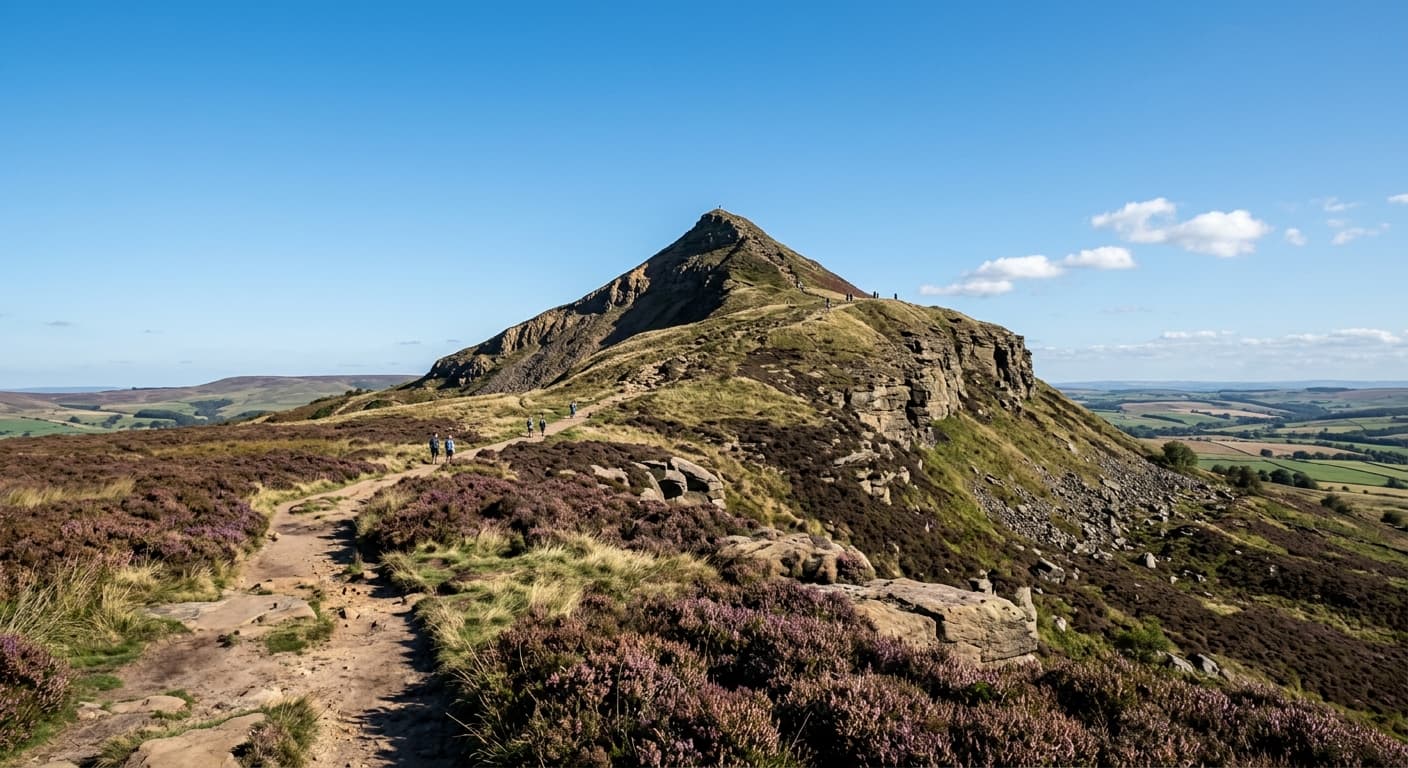
Roseberry Topping from Newton-under-Roseberry
A short, steep 2.4 km out-and-back from Newton-under-Roseberry to the distinctive 320 m summit, gaining 189 m on the stepped western path. Expect woodland, open hillside and far-reaching Cleveland views—not a technical scramble.
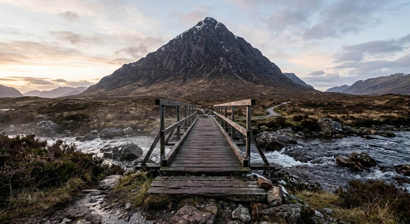
Buachaille Etive Mòr: Stob Dearg via Coire na Tulaich
A strenuous 7.3 km out-and-back from Altnafeadh to Stob Dearg, gaining 762 m through Coire na Tulaich. The summer route is steep and rough with a loose headwall; in winter the corrie is a notorious avalanche blackspot.
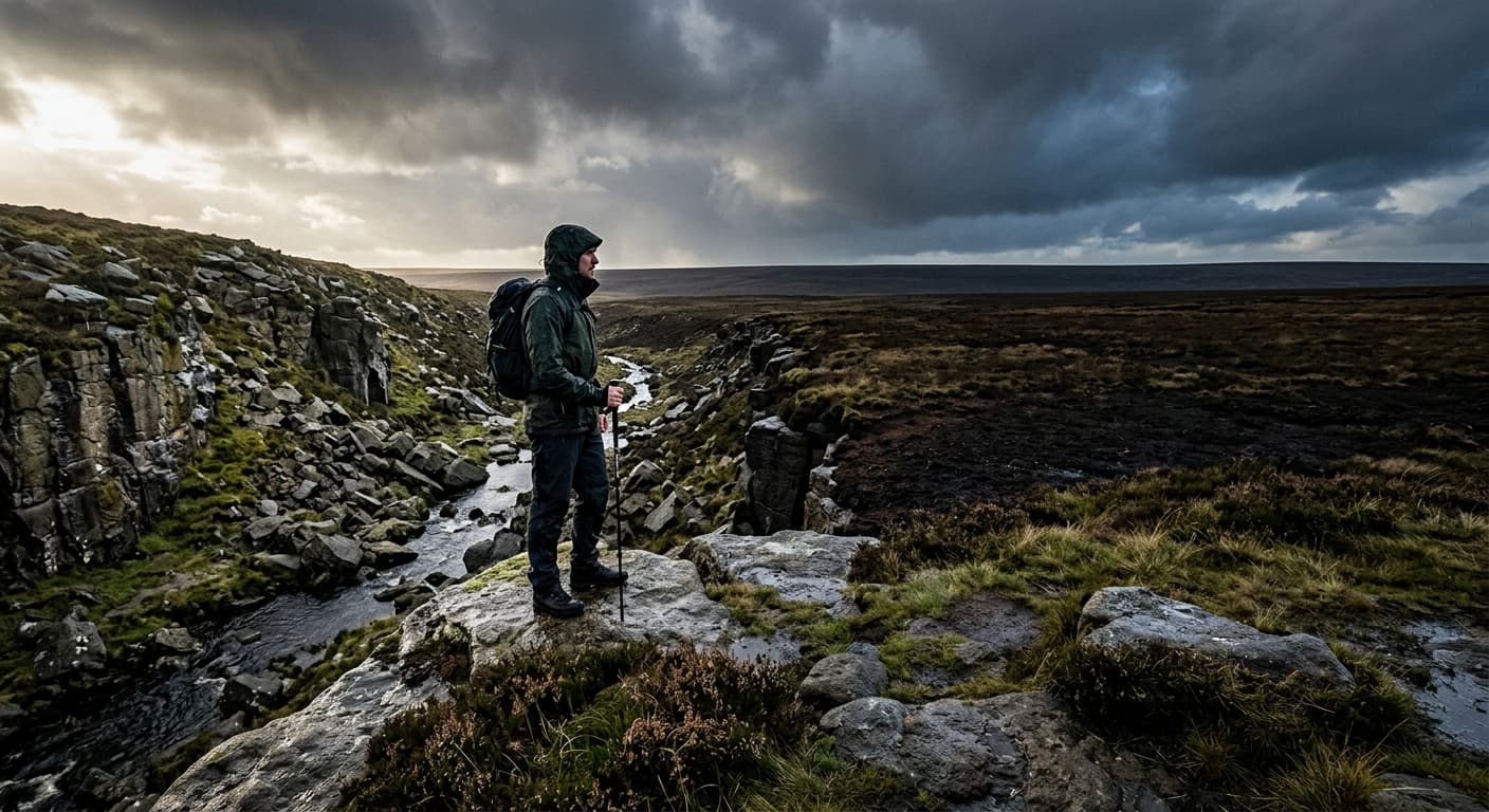
Kinder Scout via Grindsbrook Clough from Edale
A strenuous 19.1 km out-and-back from Edale to Kinder Scout’s unmarked 636 m high point, with 727 m of ascent. The GPX climbs rocky Grindsbrook Clough, follows the southern edge west and crosses pathless peat—then reverses it all.
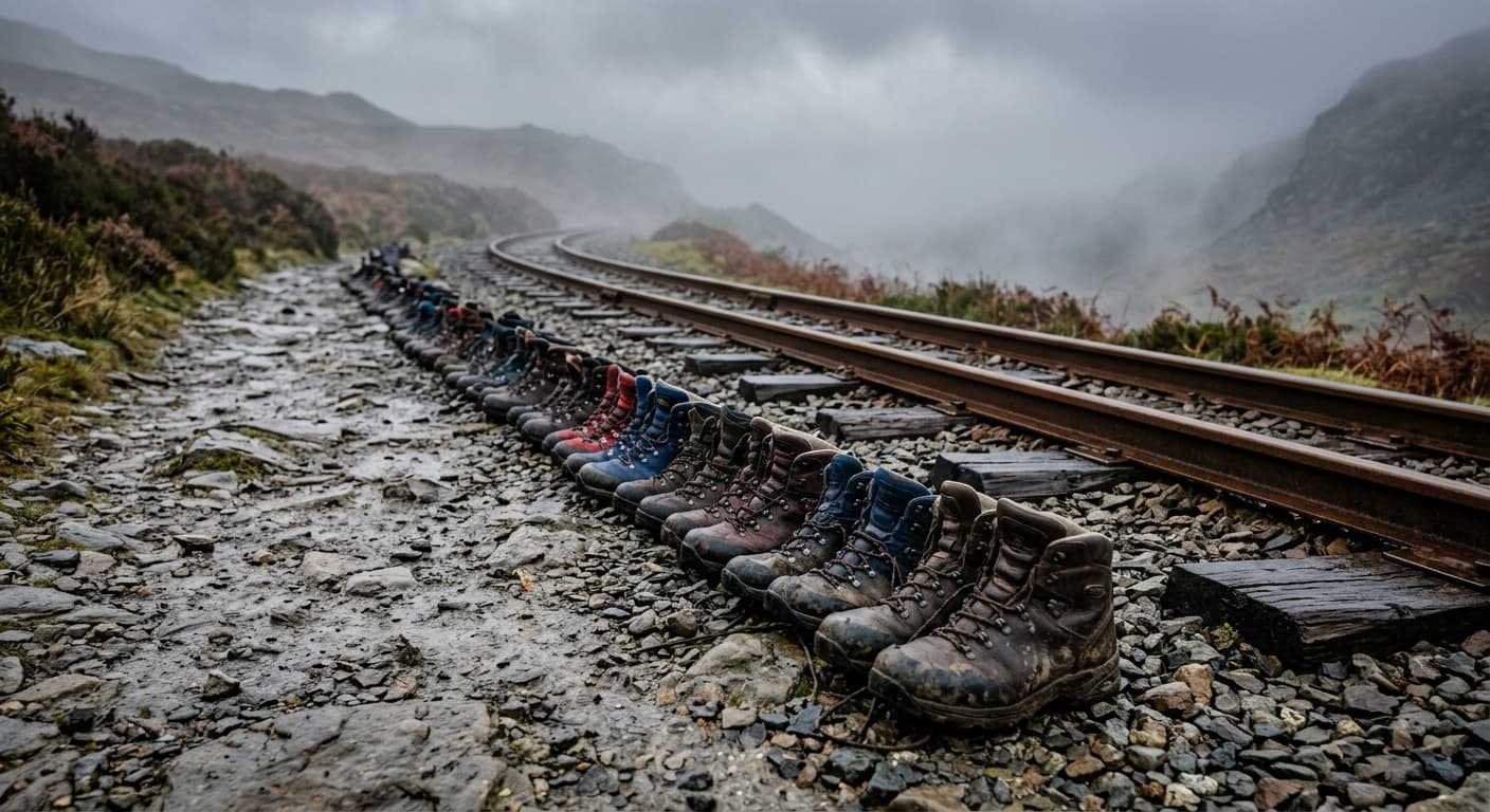
Yr Wyddfa via the Llanberis Path
A strenuous 12.1 km out-and-back from the Llanberis Path trailhead to Yr Wyddfa’s 1,085 m summit, gaining 837 m. It is the mountain’s most gradual main route, but still long, rough, exposed and demanding in poor weather.
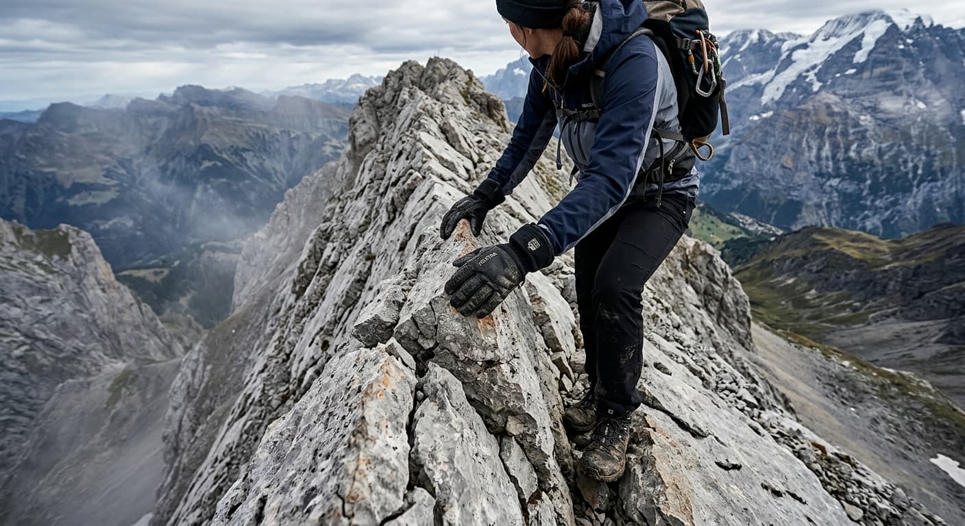
Helvellyn via Striding Edge and Catstye Cam
A severe 12.7 km circuit from Glenridding over Birkhouse Moor and Striding Edge to Helvellyn, then down Swirral Edge and over Catstye Cam. The GPX packs 932 m of ascent into a classic but exposed Grade 1 scrambling day.
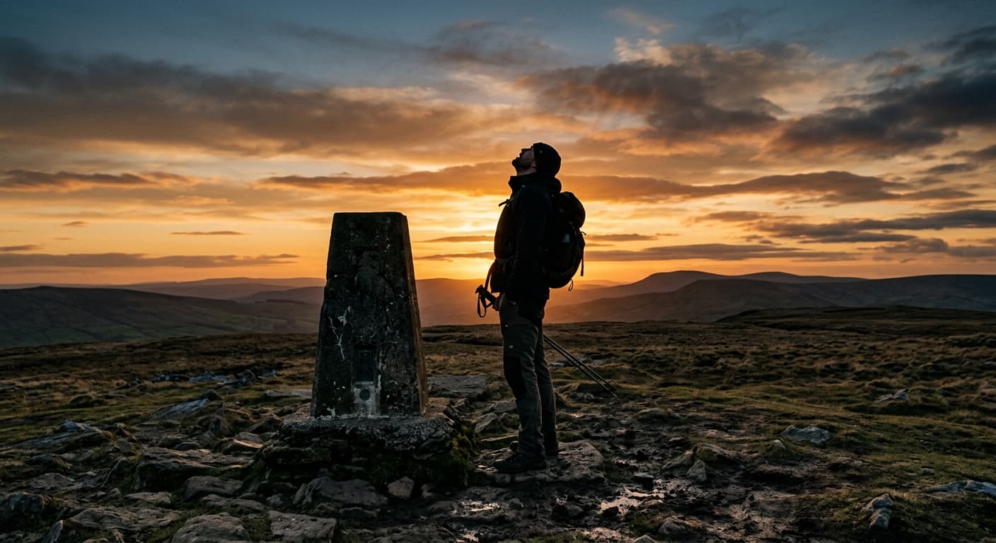
Yorkshire Three Peaks from Horton-in-Ribblesdale
A strenuous 38.6 km circuit over Pen-y-ghent, Whernside and Ingleborough, with 1,513 m of ascent. This GPX follows the classic clockwise challenge route from Horton-in-Ribblesdale.
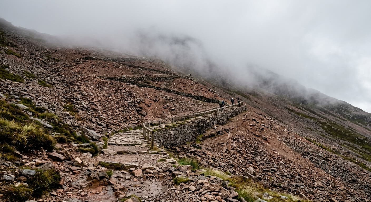
Ben Nevis via the Mountain Track
A strenuous 16.3 km out-and-back climb from Ben Nevis Visitor Centre to the UK’s highest summit, with 1,353 m of ascent and a GPX-led route guide.
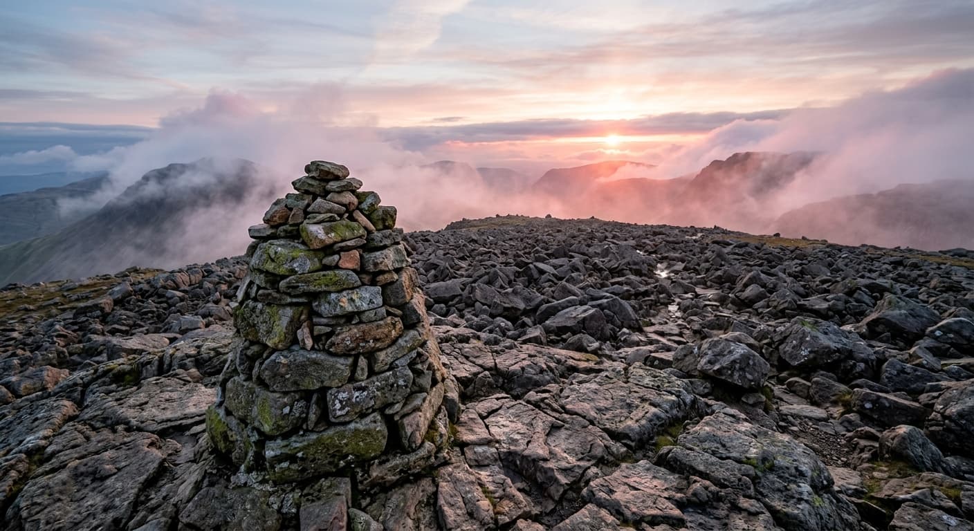
Scafell Pike via Wasdale and Hollowstones
A strenuous 8.3 km out-and-back climb from Lake Head car park to England’s highest summit, with 907 m of ascent via Brown Tongue and Hollowstones.
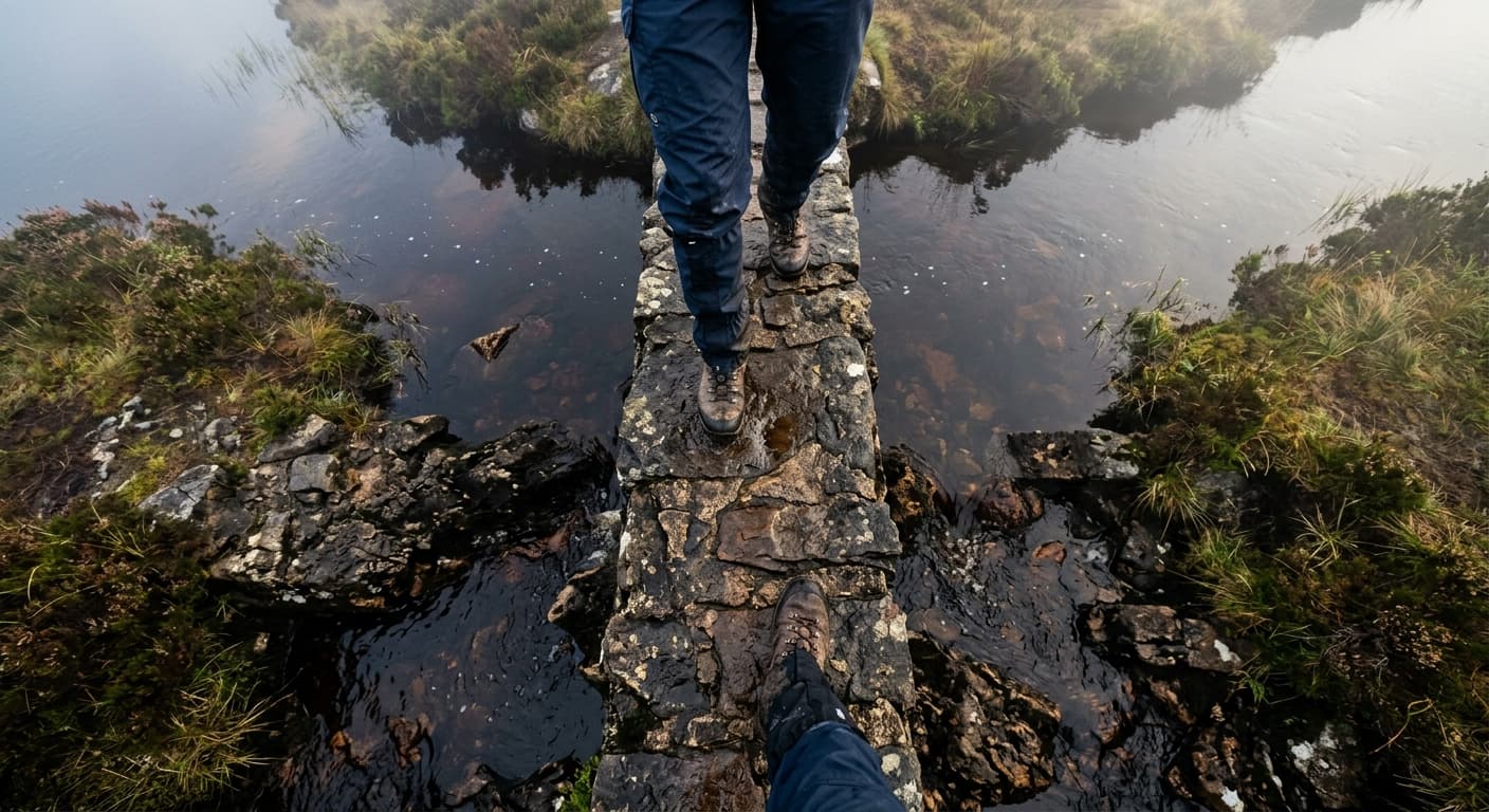
Cumbria Way: Ulverston to Carlisle
A strenuous 118.6 km long-distance route from Ulverston to Carlisle, with 2,307 m of ascent, five GPX-aligned stages and the High Pike option.
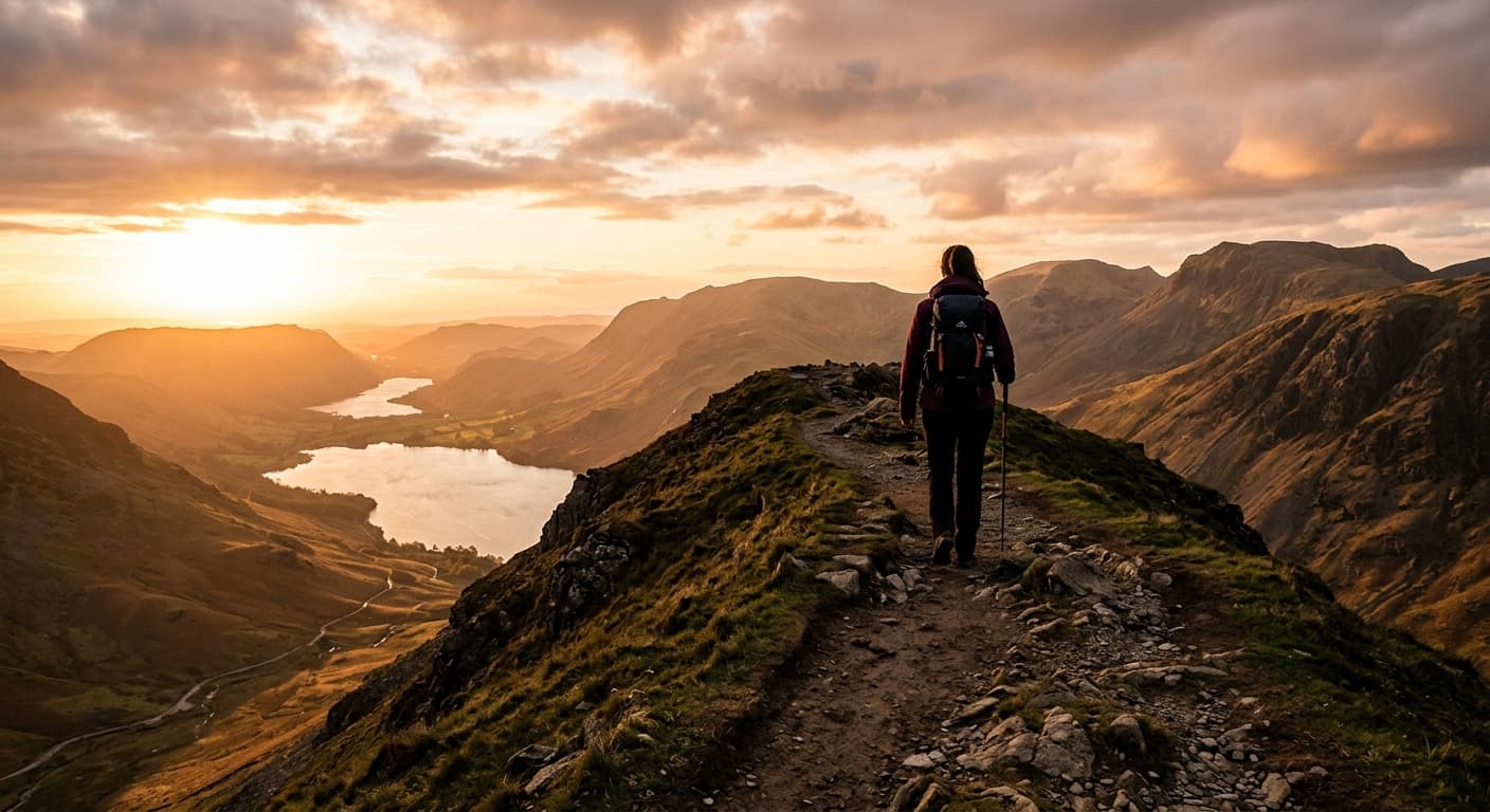
Fairfield Horseshoe from Rydal to Ambleside
A strenuous 16.0 km point-to-point traverse of the Fairfield Horseshoe from Rydal to Ambleside, crossing eight Wainwrights with 959 m of ascent.