Guides and Routes
The Scotland Library
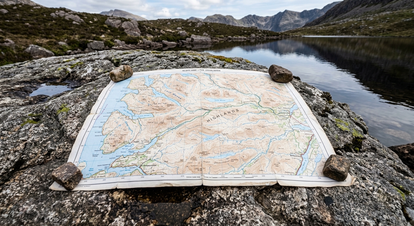
From Munros and remote glens to ancient paths, wildlife and Highland history, discover our Scottish guides and hiking routes, complete with downloadable GPX files.
Not Just Loch Ness
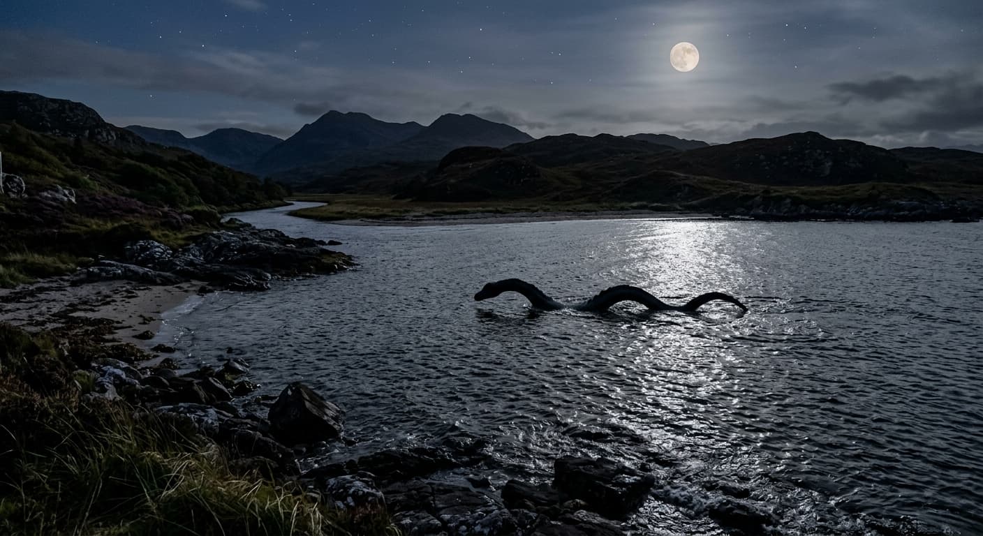
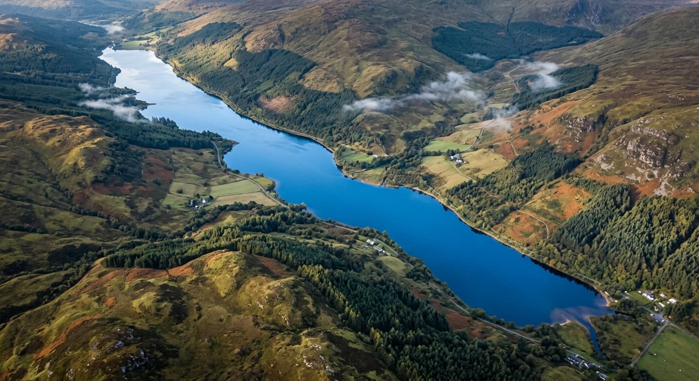
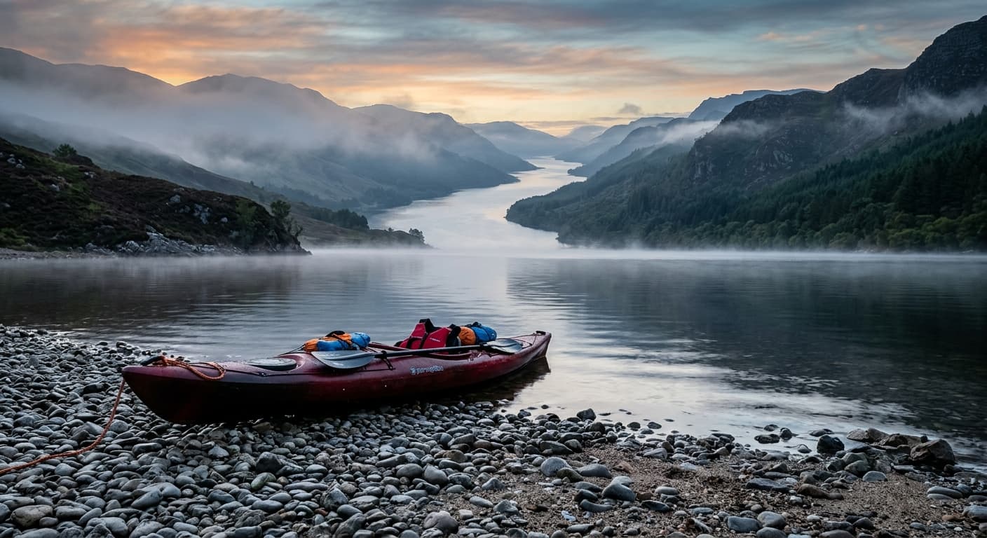
Scotland is home to thousands of lochs, from vast inland waters and sea lochs to tiny mountain lochans hidden among the peaks. Discover the stories, history, wildlife and landscapes behind Scotland's most famous — and most overlooked — lochs.
The Stories Behind Scotland’s Hill Lists
Munros, Corbetts, Grahams and Donalds are familiar names to Scottish hillwalkers, but who were the people behind them? Discover their lives, their work and how their names became part of Scotland’s mountain history.
4 guides
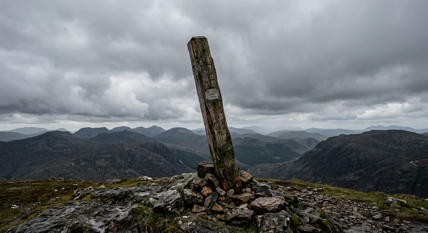
The Corbetts: Scotland’s 500-Foot Hill Climbing Obsession
While the Munros get the headlines, the 222 Corbetts offer a quieter route into the Scottish hills, each meeting a clear height and 500ft drop rule.
John Rooke Corbett
The man who gave Scotland’s overlooked 2,500-foot peaks a name: the Corbetts.

The Munros: Scotland’s 3,000ft Standard
Everything you need to know about the 282 Munros—Scotland’s iconic list of 3,000ft peaks defined by strict height requirements and a century of hill-walking tradition.
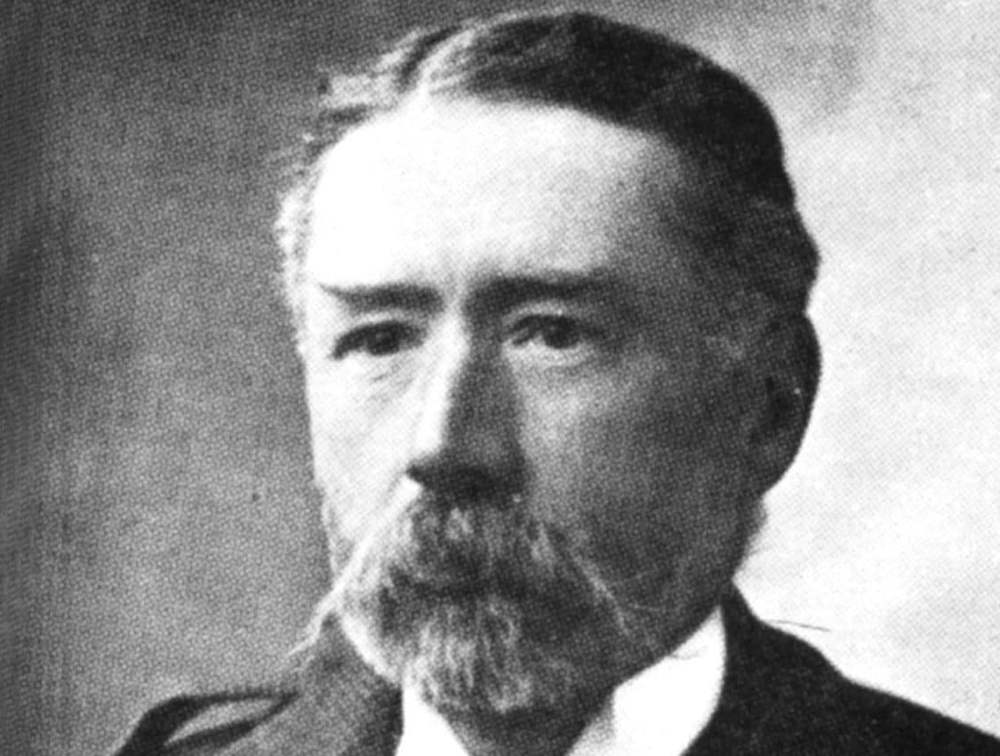
Sir Hugh Munro
The story of Sir Hugh Munro and the mountain list that shaped Scottish hillwalking.
Hiking Routes in Scotland
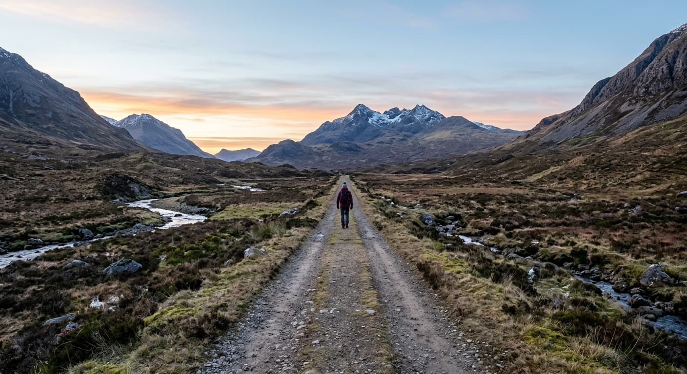
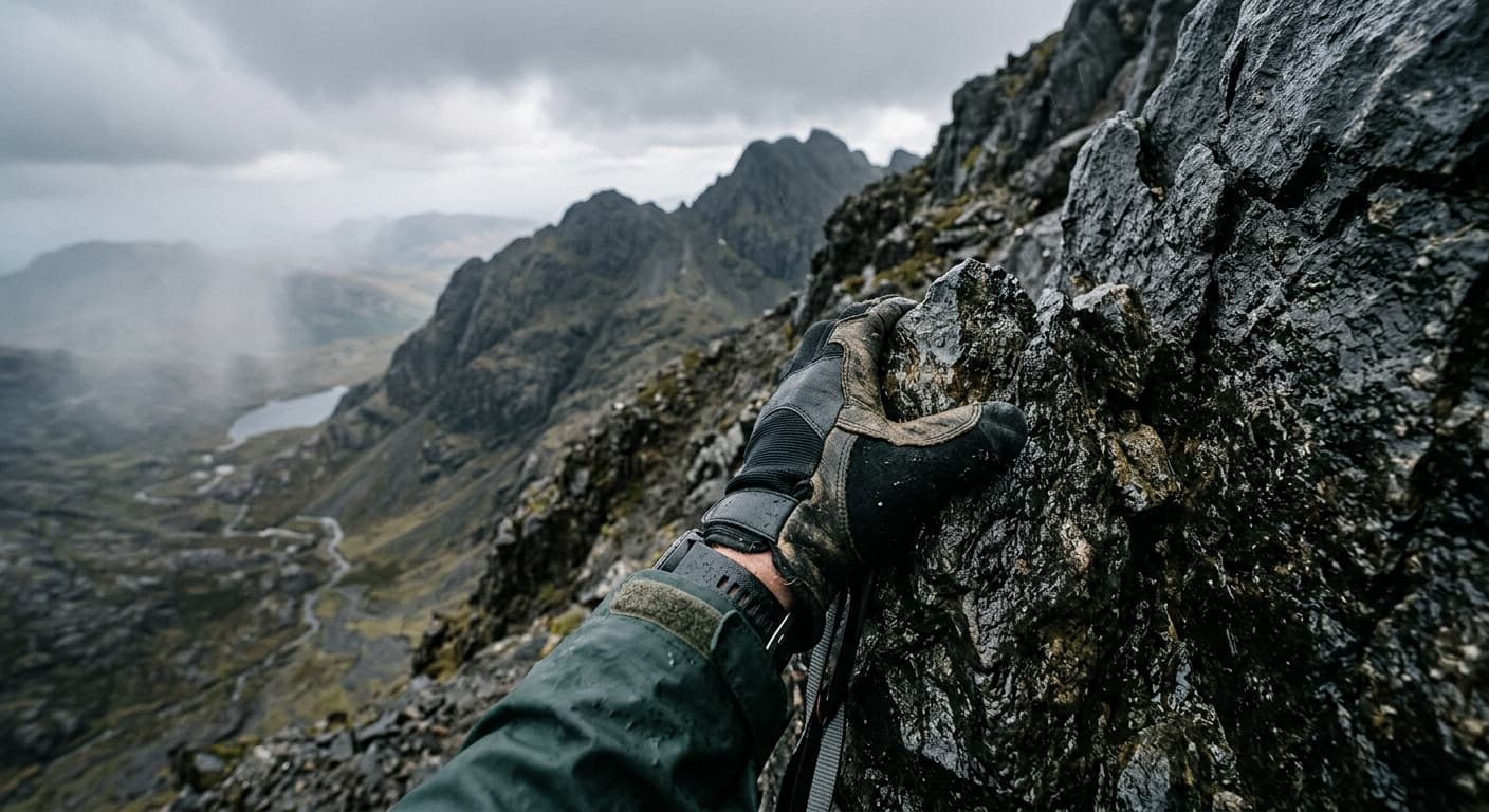
Our Scottish hiking route guides, with practical route details and a downloadable GPX file for each walk.
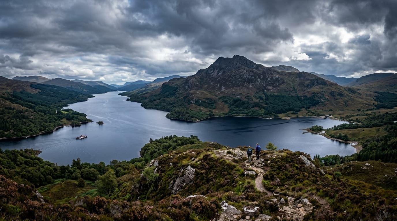
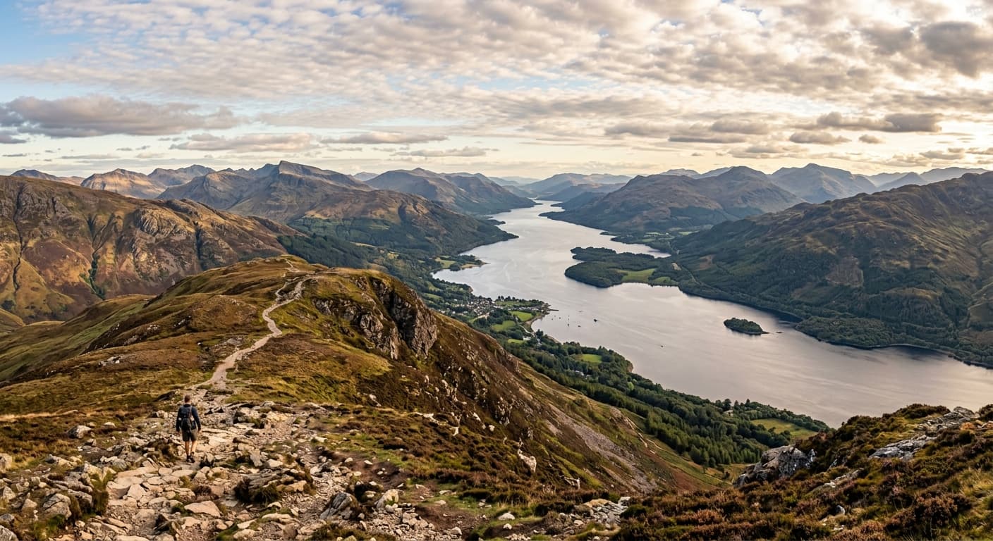
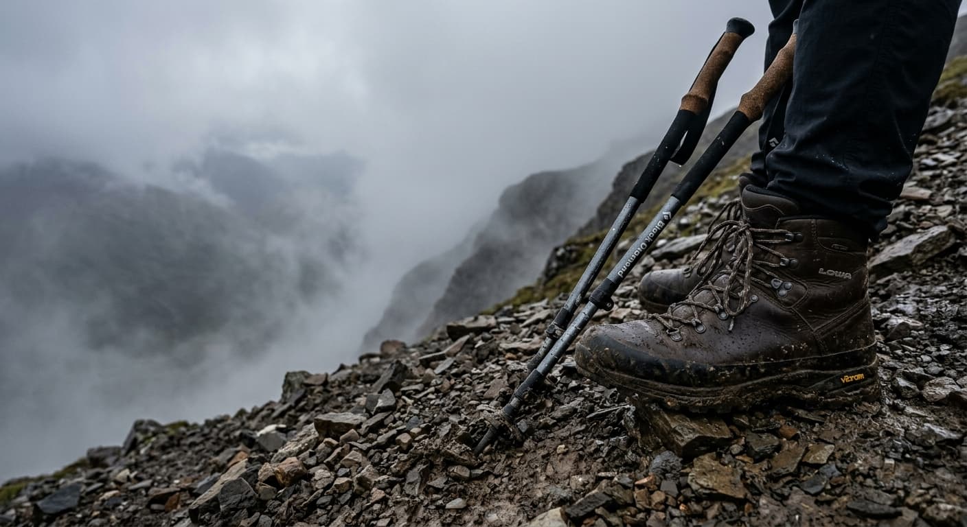
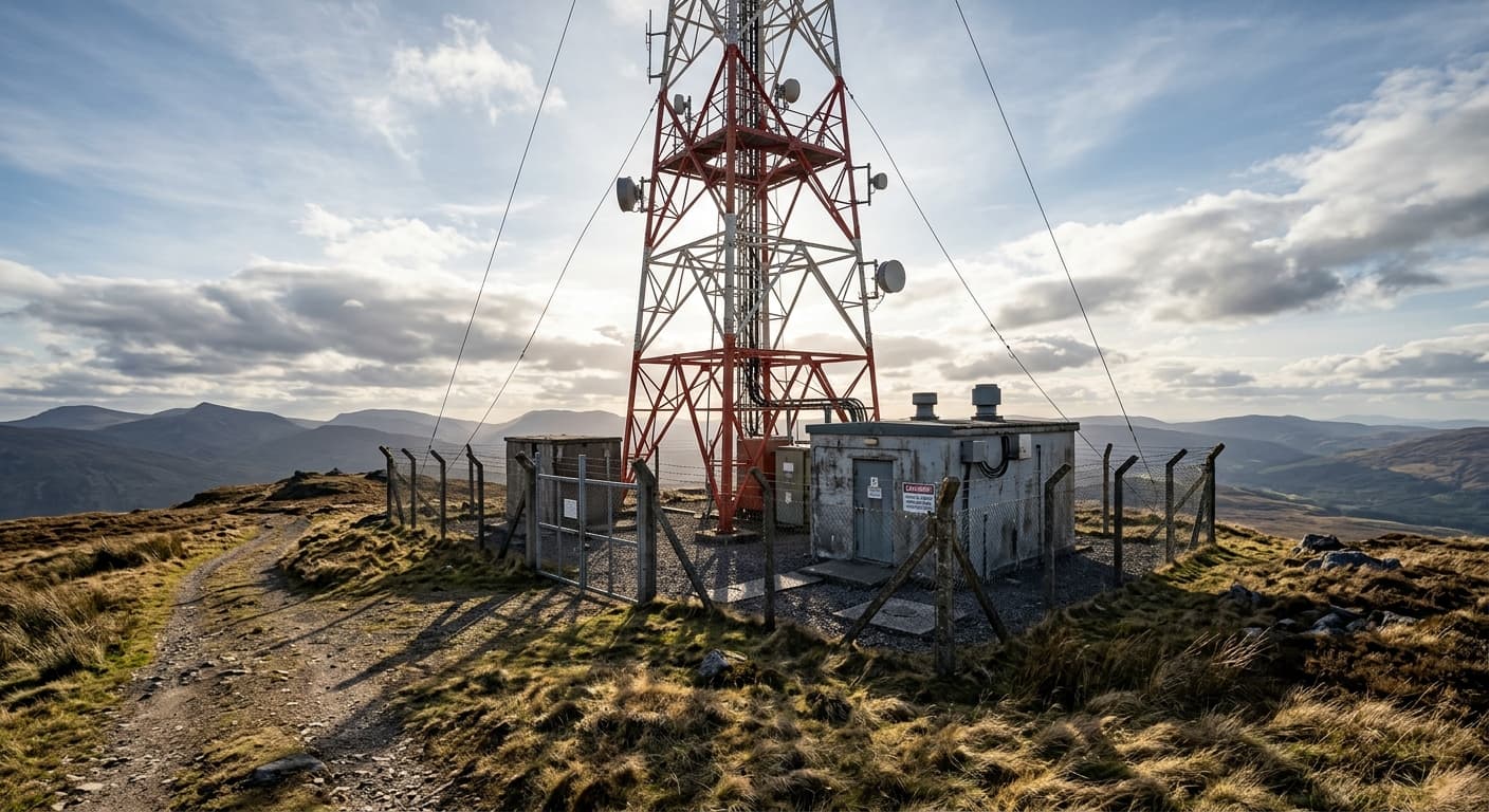
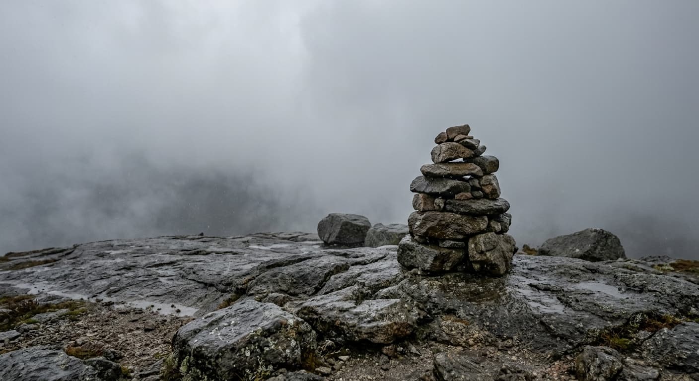
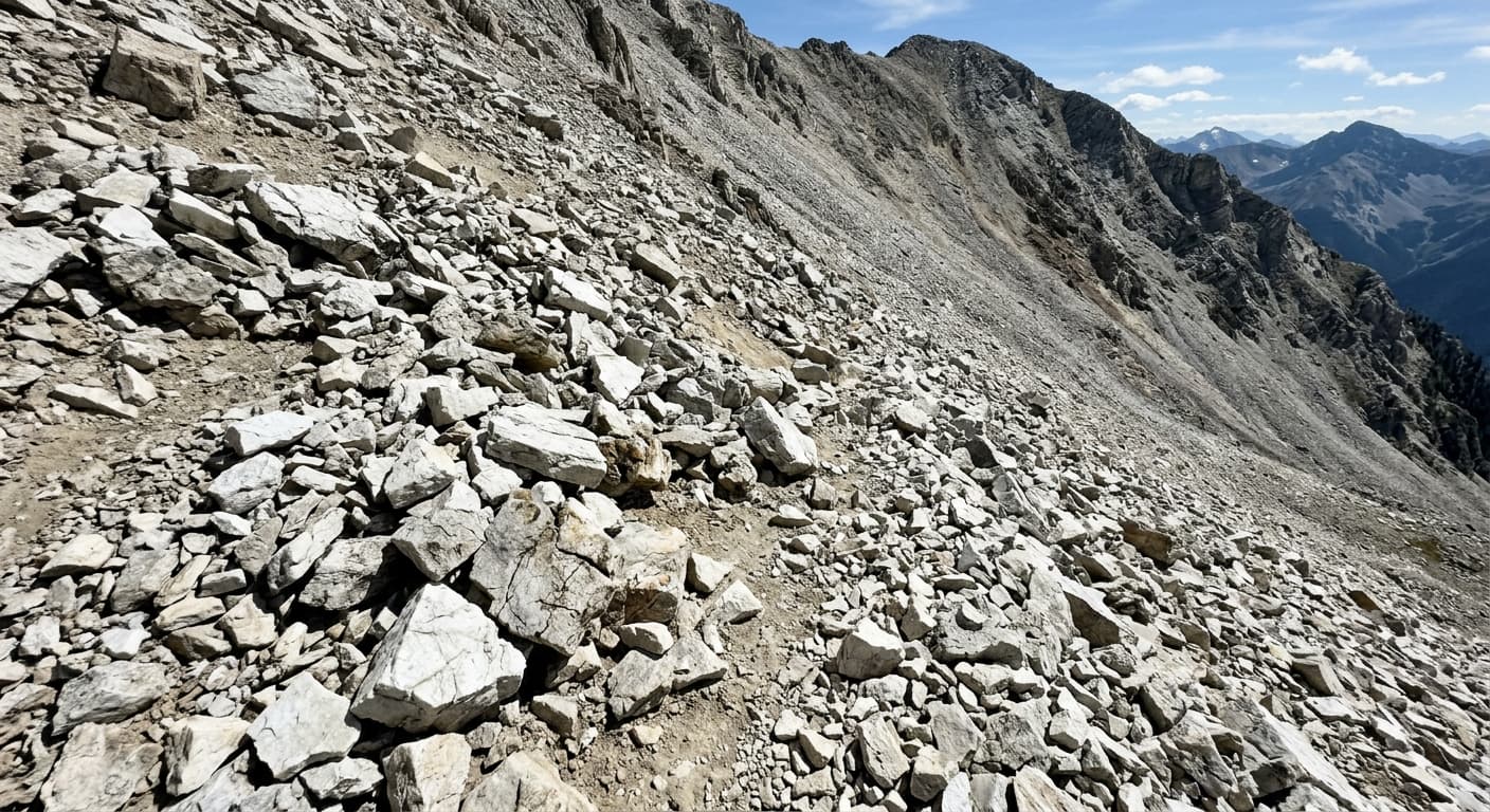
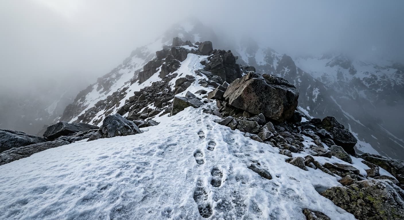
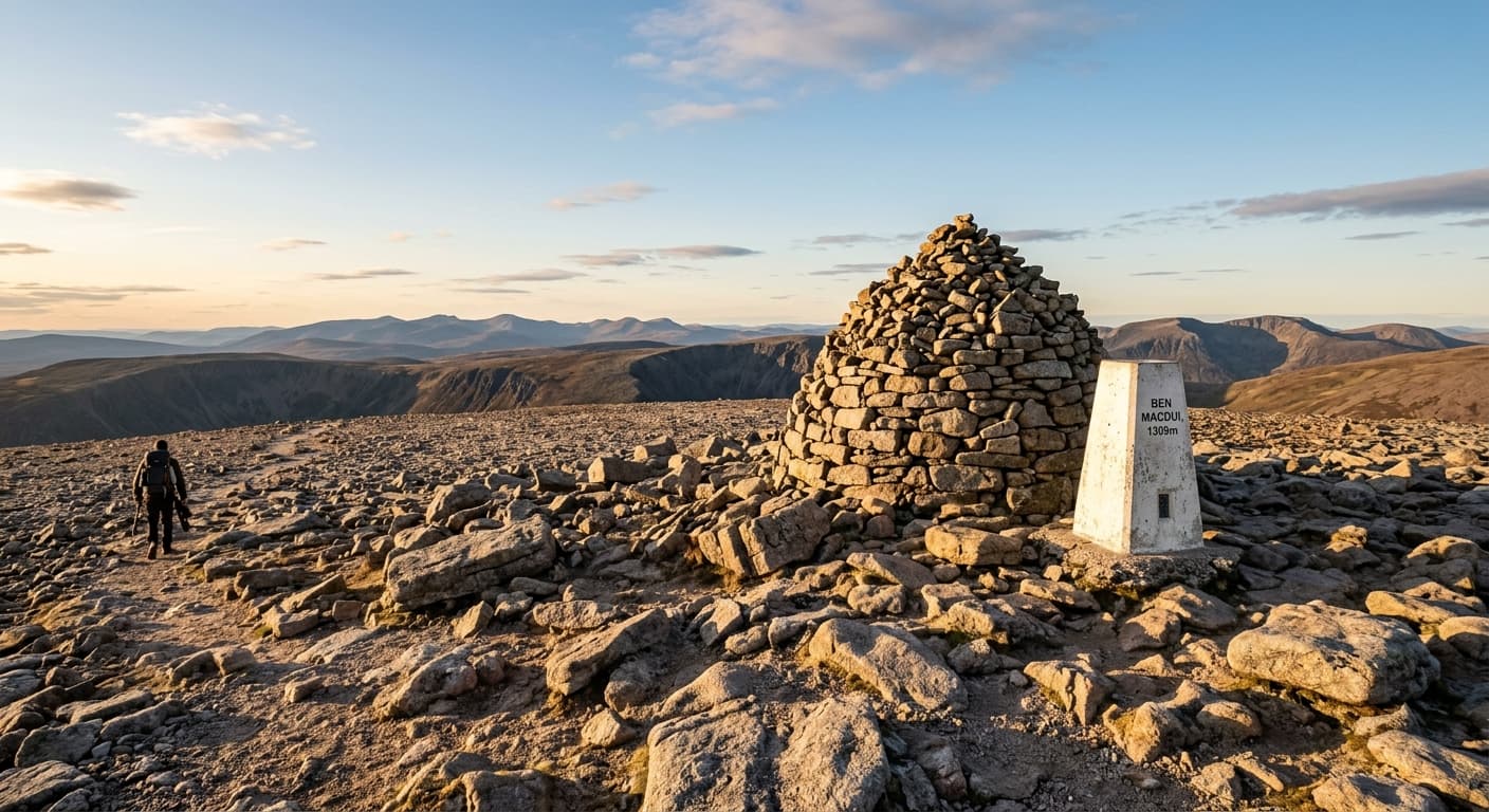
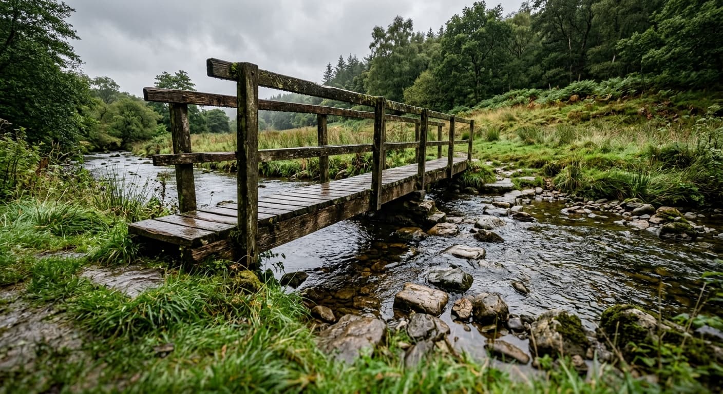
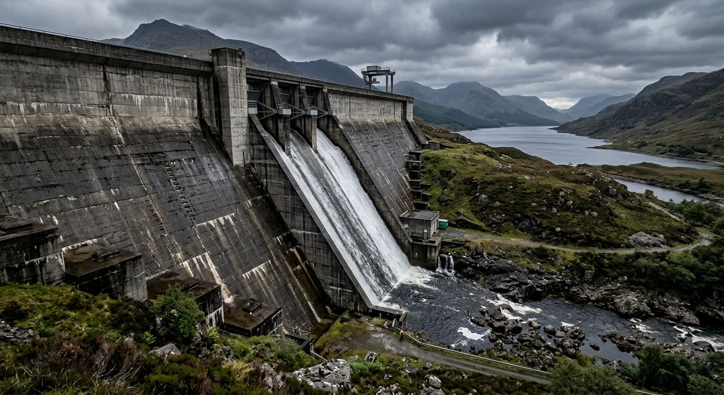
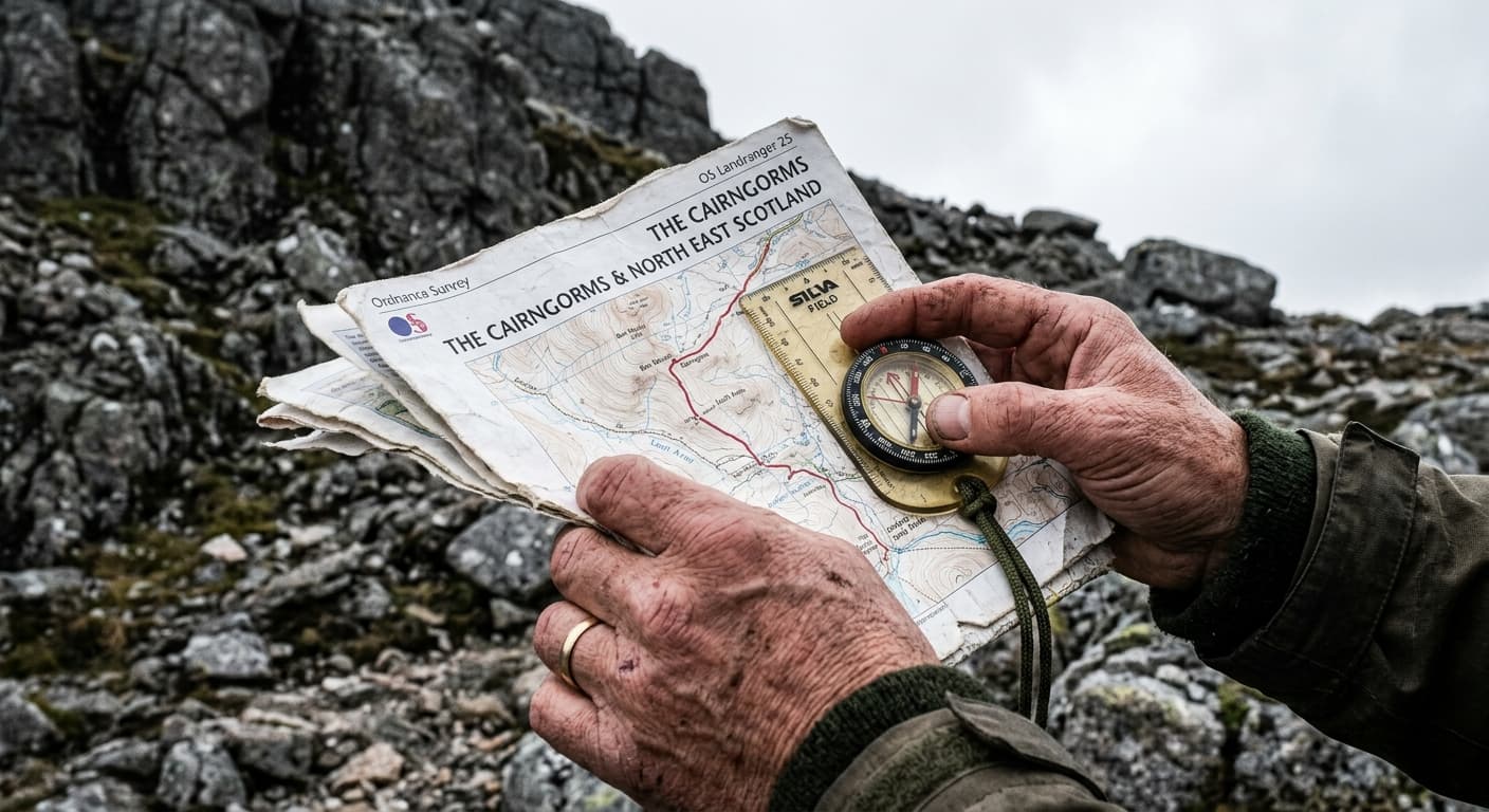
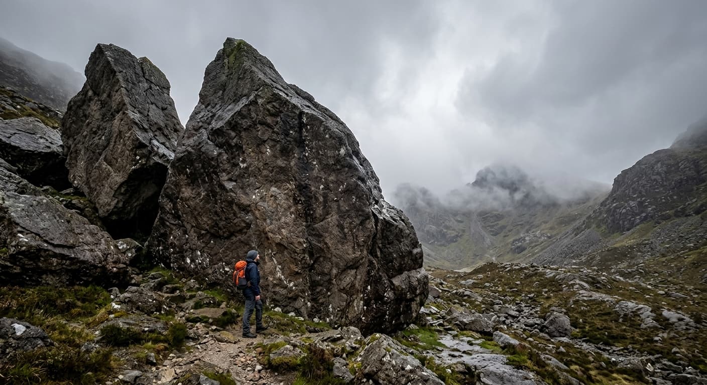
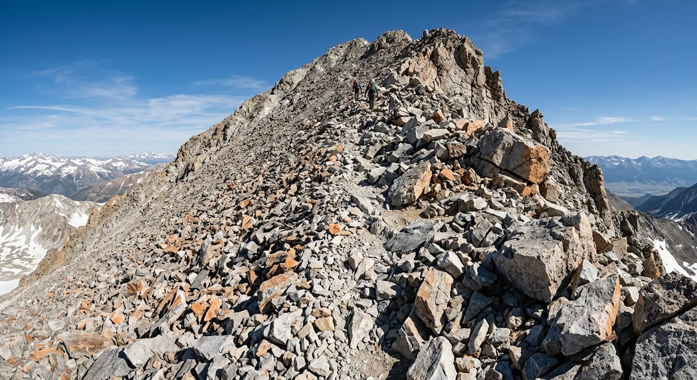
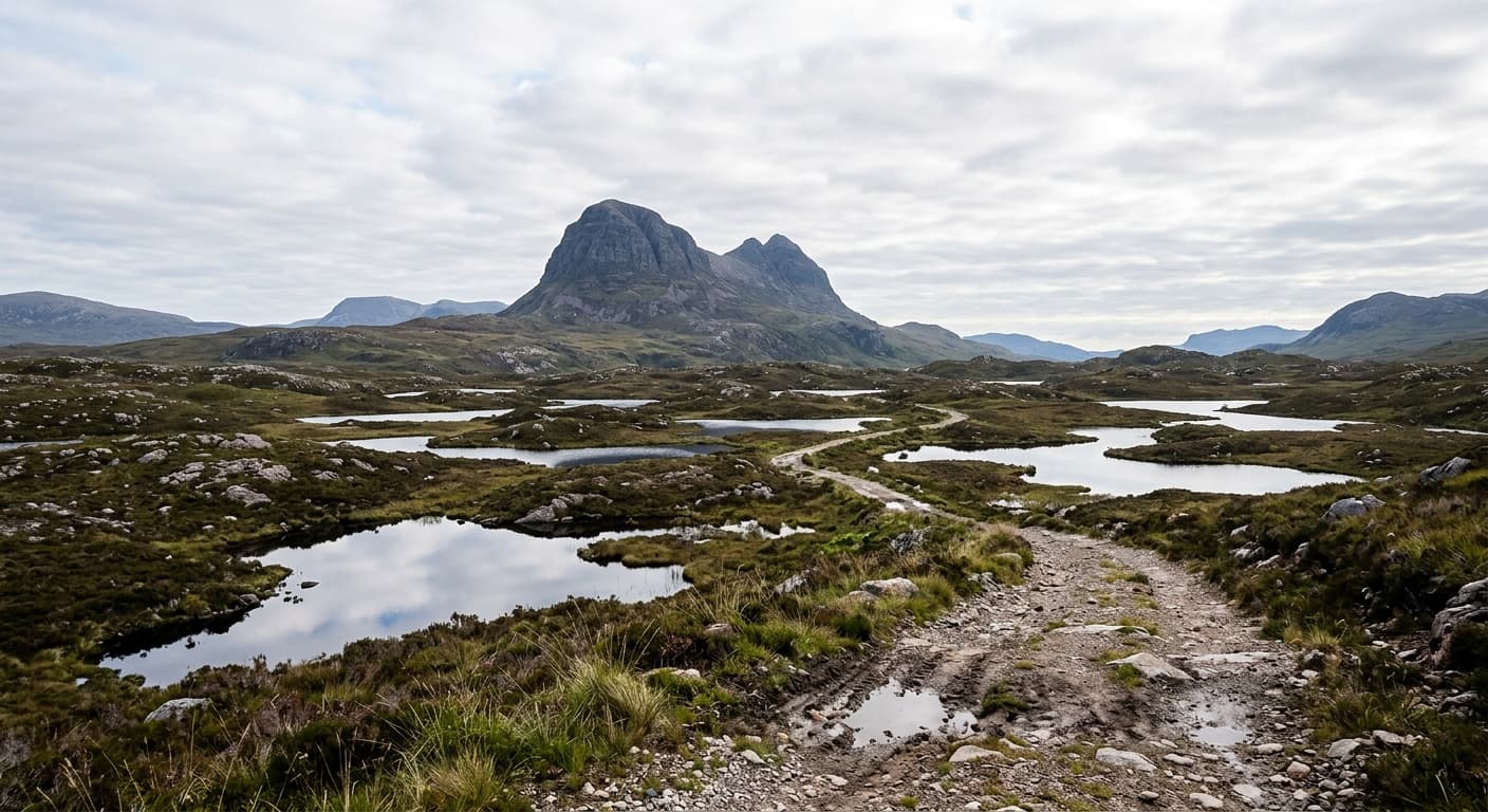
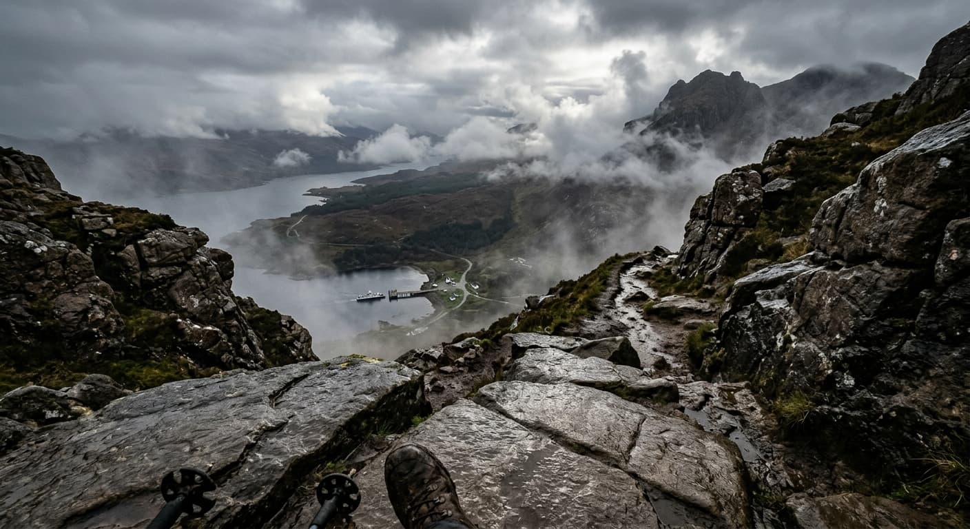
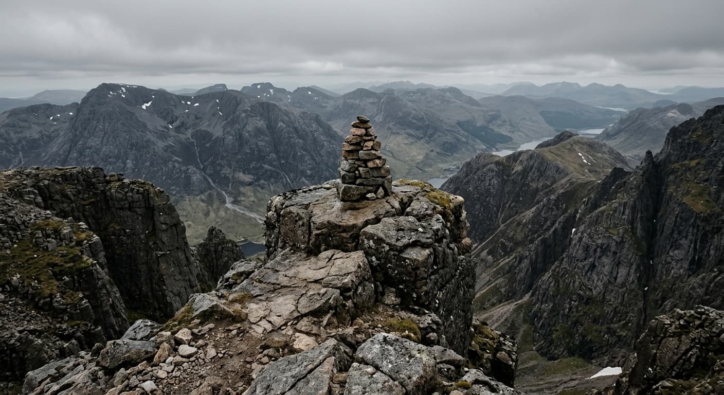
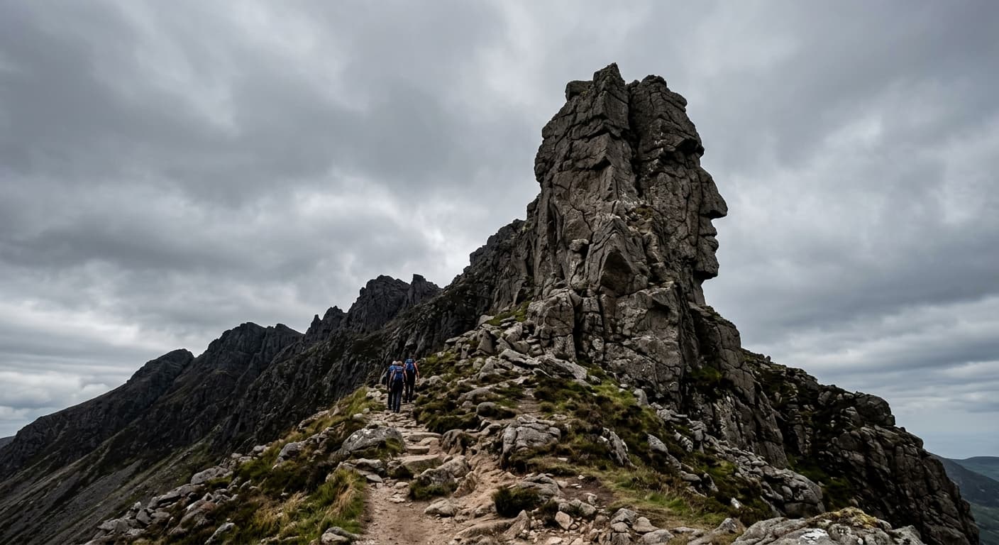
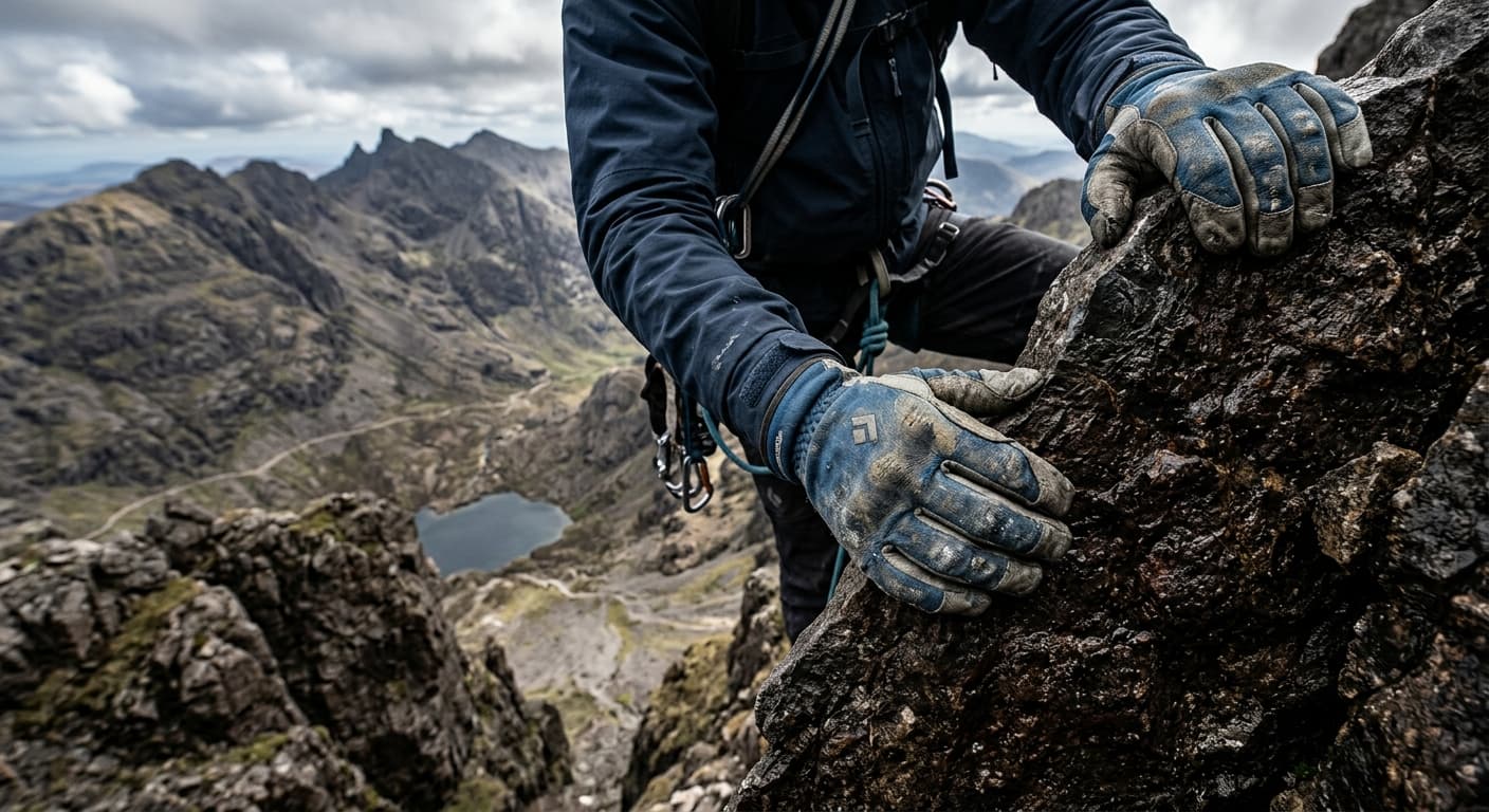
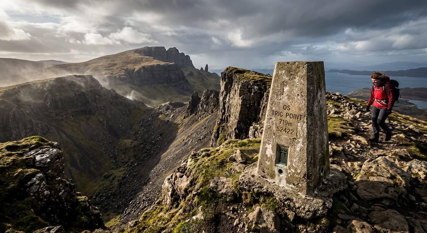
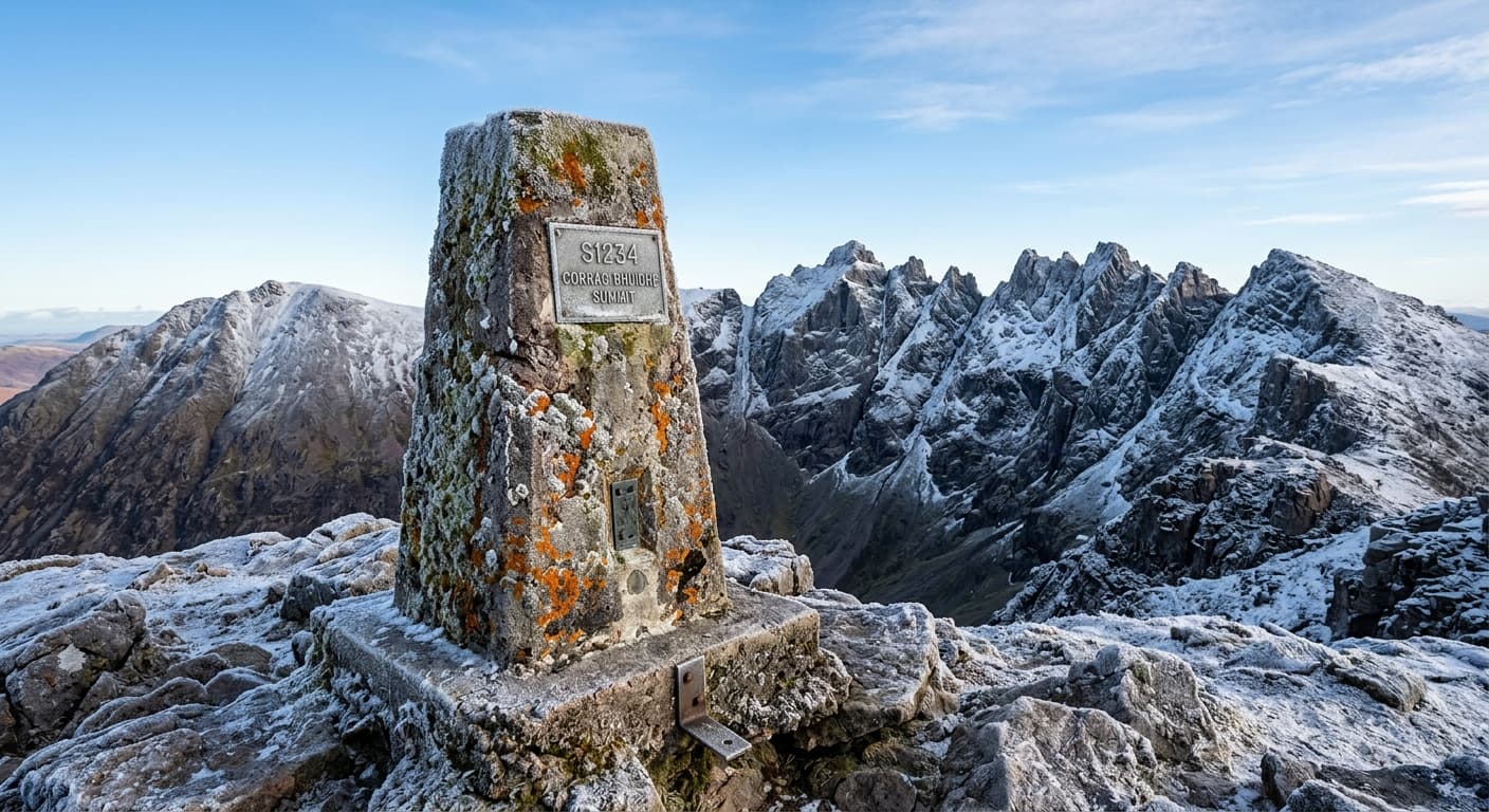
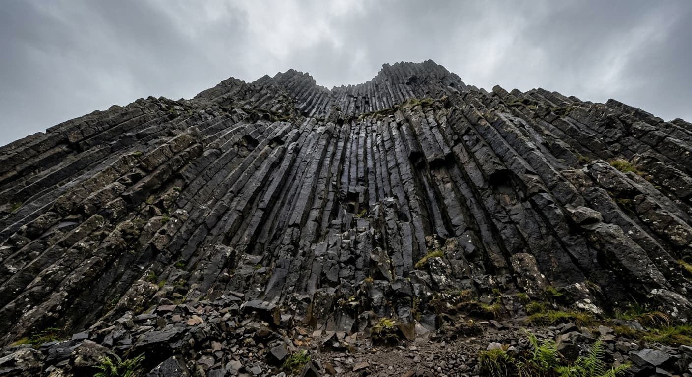
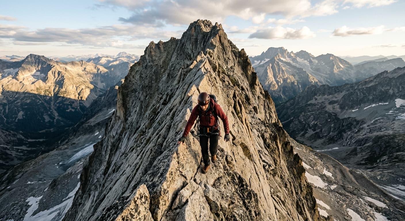
Featured Scotland Hiking Routes
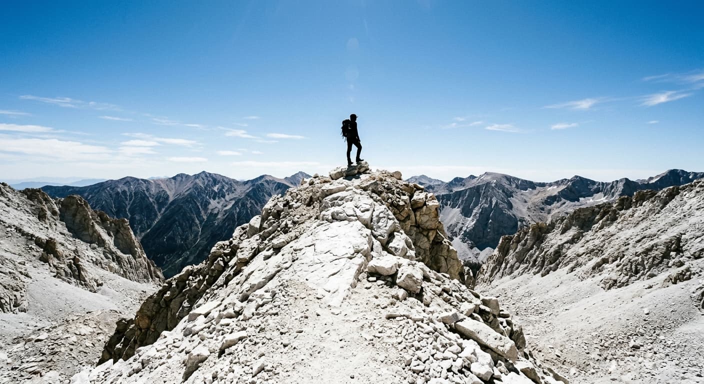
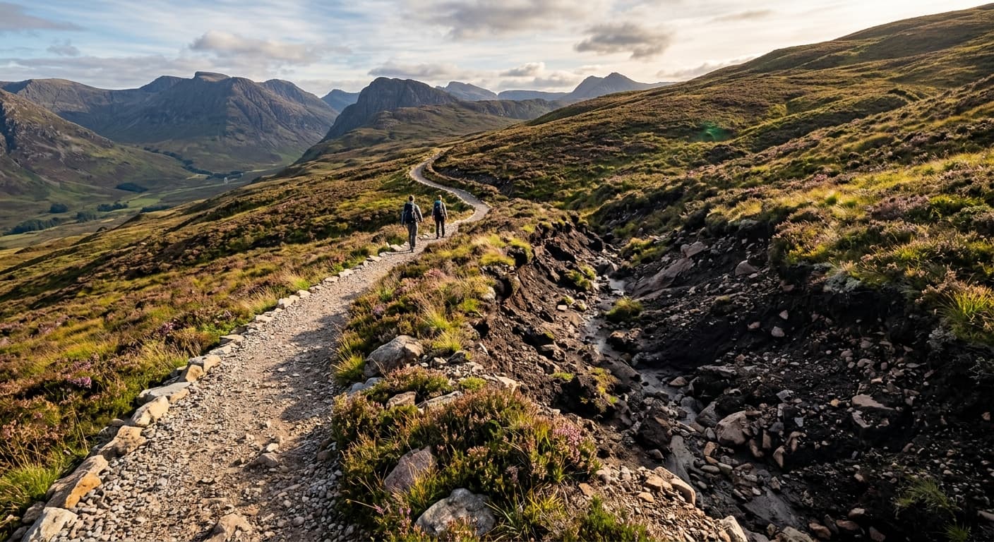
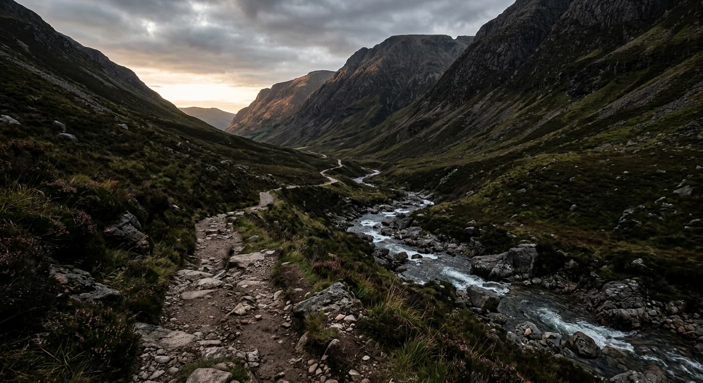
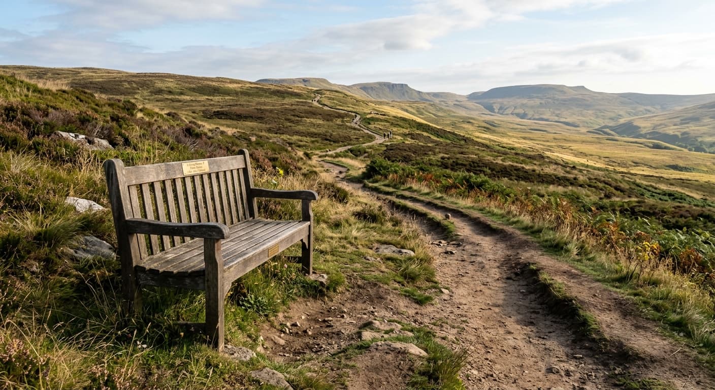
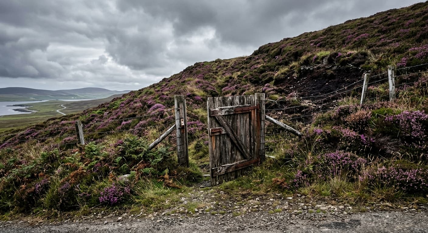
Four handpicked routes from across the region, each with a full hiking guide and downloadable GPX file.
4 guides
West Highland Way: Milngavie to Fort William
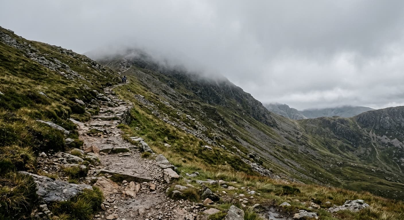
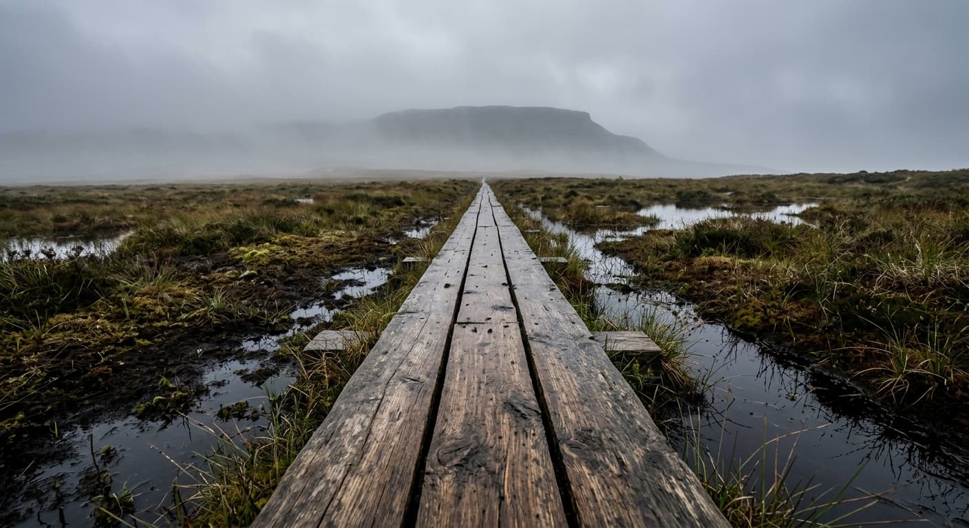
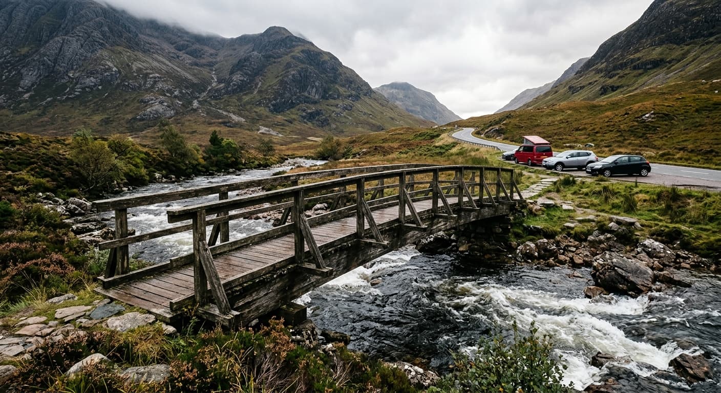
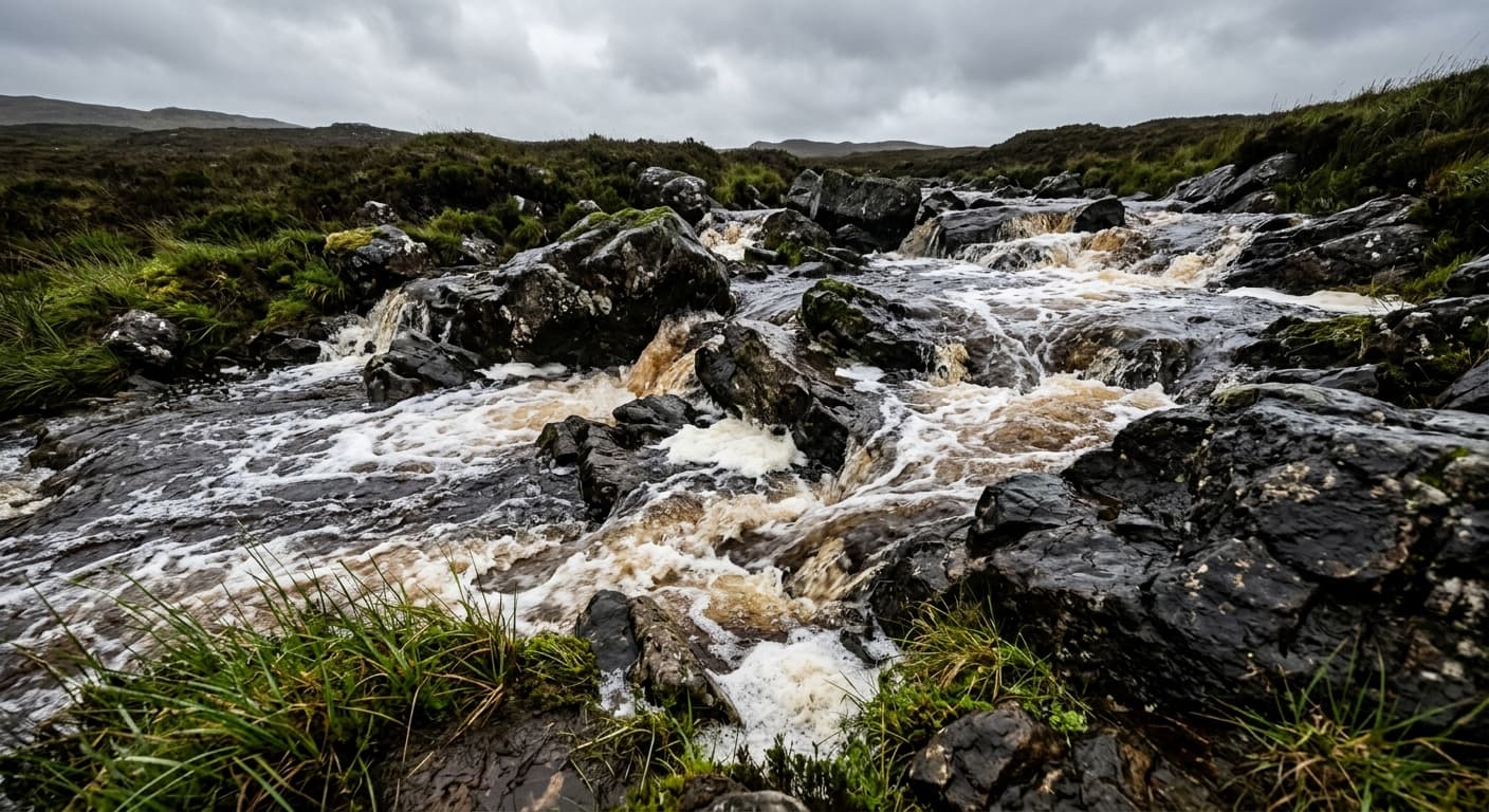
A complete 153.6 km GPX route from Milngavie to Fort William, following Loch Lomond, Rannoch Moor and Glen Coe with 2,766 m of ascent and no promise that the weather has read the itinerary.
An Sgùrr from Galmisdale: Eigg Route Guide
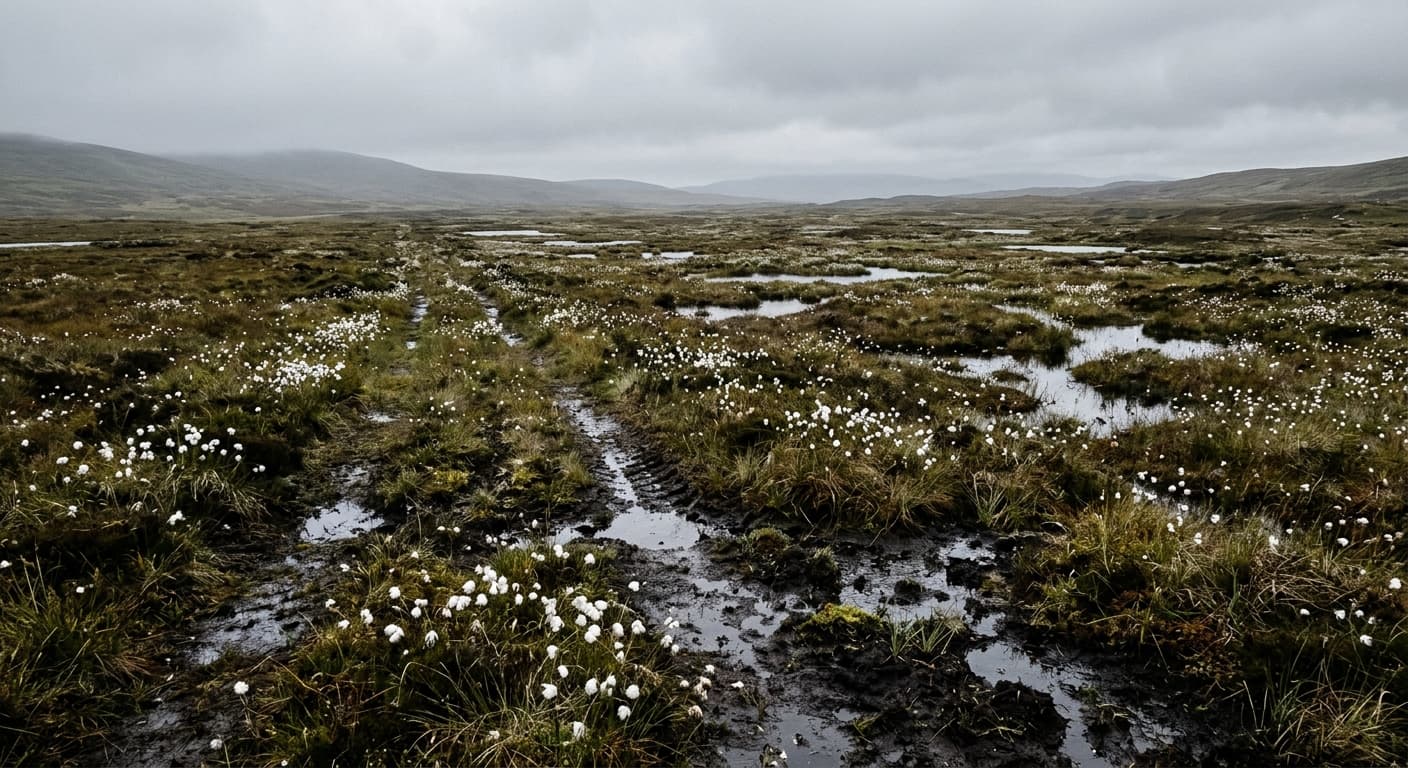
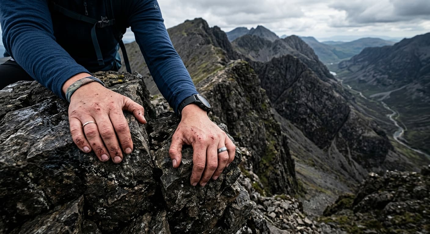
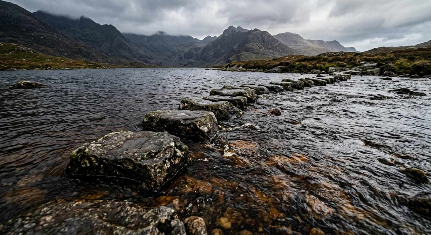
Climb Eigg’s unmistakable pitchstone summit from Galmisdale on this 9.7 km out-and-back route, combining a boggy moorland approach, a short rocky scramble and huge Small Isles views.
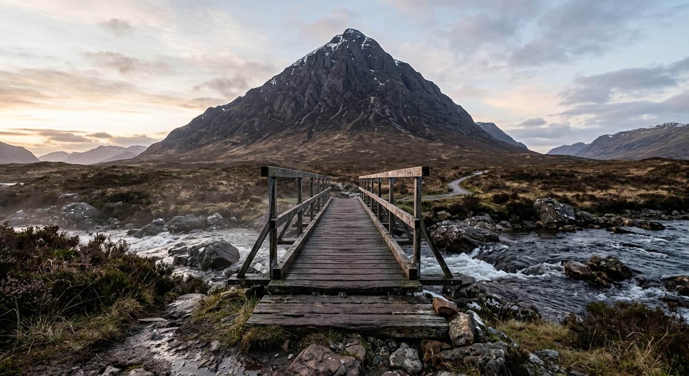
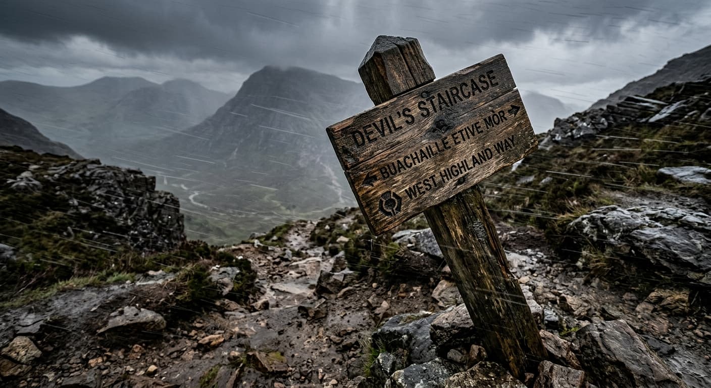
Buachaille Etive Mòr: Stob Dearg via Coire na Tulaich
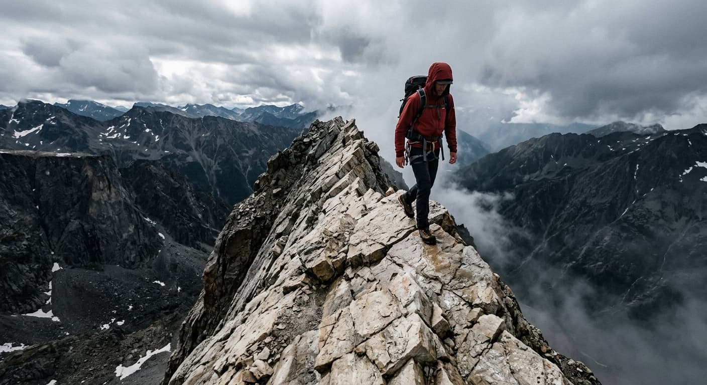
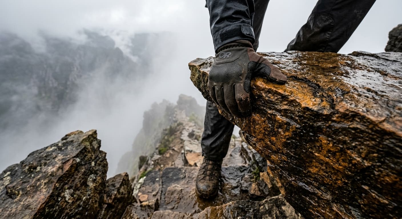
A strenuous 7.3 km out-and-back from Altnafeadh to Stob Dearg, gaining 762 m through Coire na Tulaich. The summer route is steep and rough with a loose headwall; in winter the corrie is a notorious avalanche blackspot.
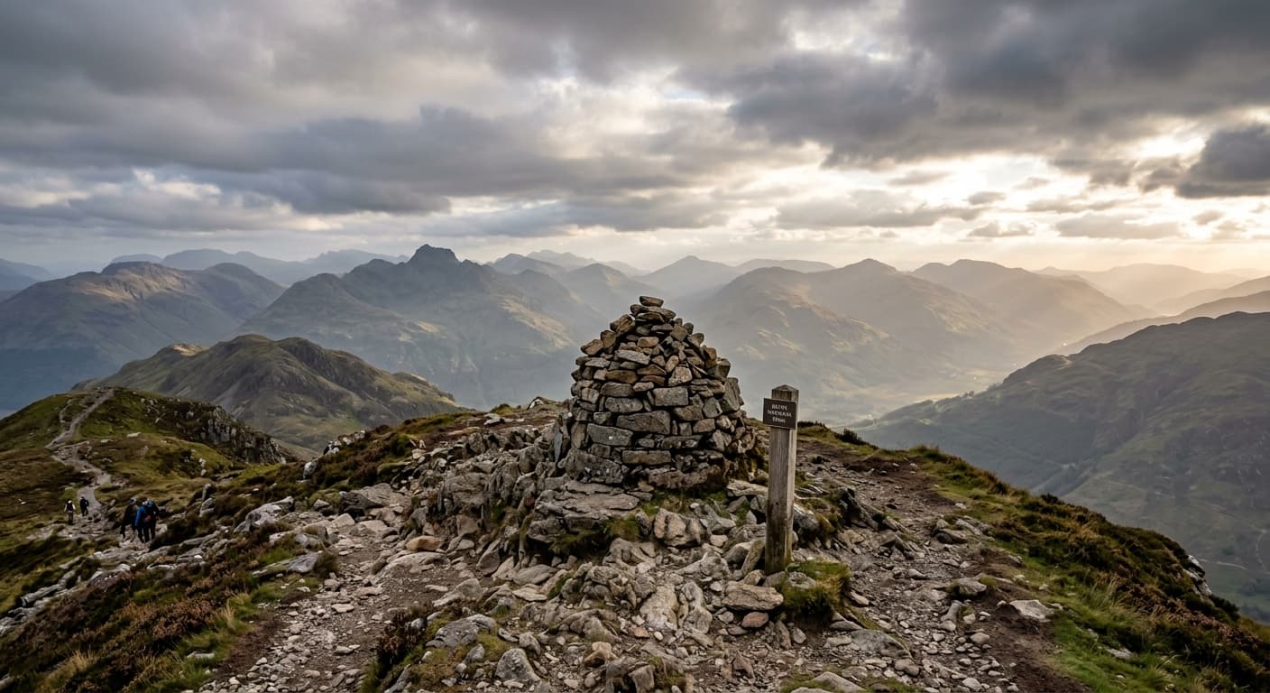
Ben Nevis via the Mountain Track
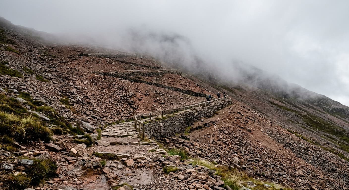
A strenuous 16.3 km out-and-back climb from Ben Nevis Visitor Centre to the UK’s highest summit, with 1,353 m of ascent and a GPX-led route guide.
Continue exploring