Regional library
North Pennines Library
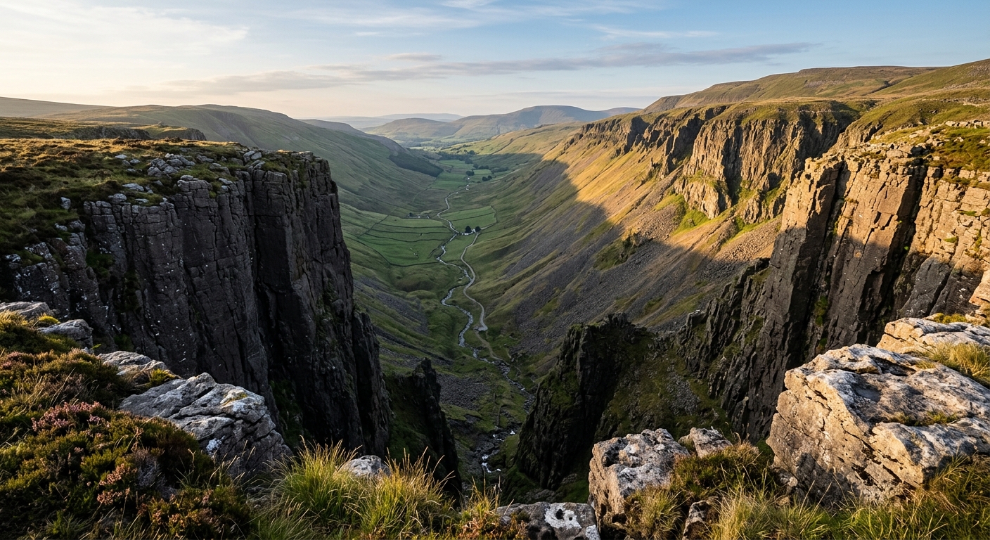
Explore the published routes and stories of the North Pennines, from Cross Fell and High Force to the Pennine Way, hill lists and the names of the northern fells.
Hiking Route Guides
4 guides
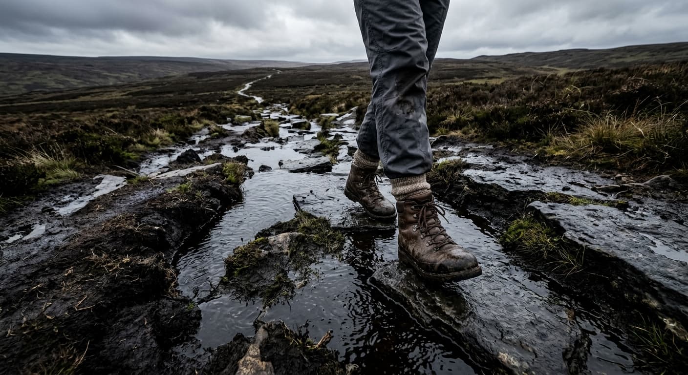
Cross Fell from Kirkland via High Cap: Route Guide
Climb Cross Fell from Kirkland by the High Cap track, crossing the exposed Pennine plateau to England’s highest summit outside the Lakes.
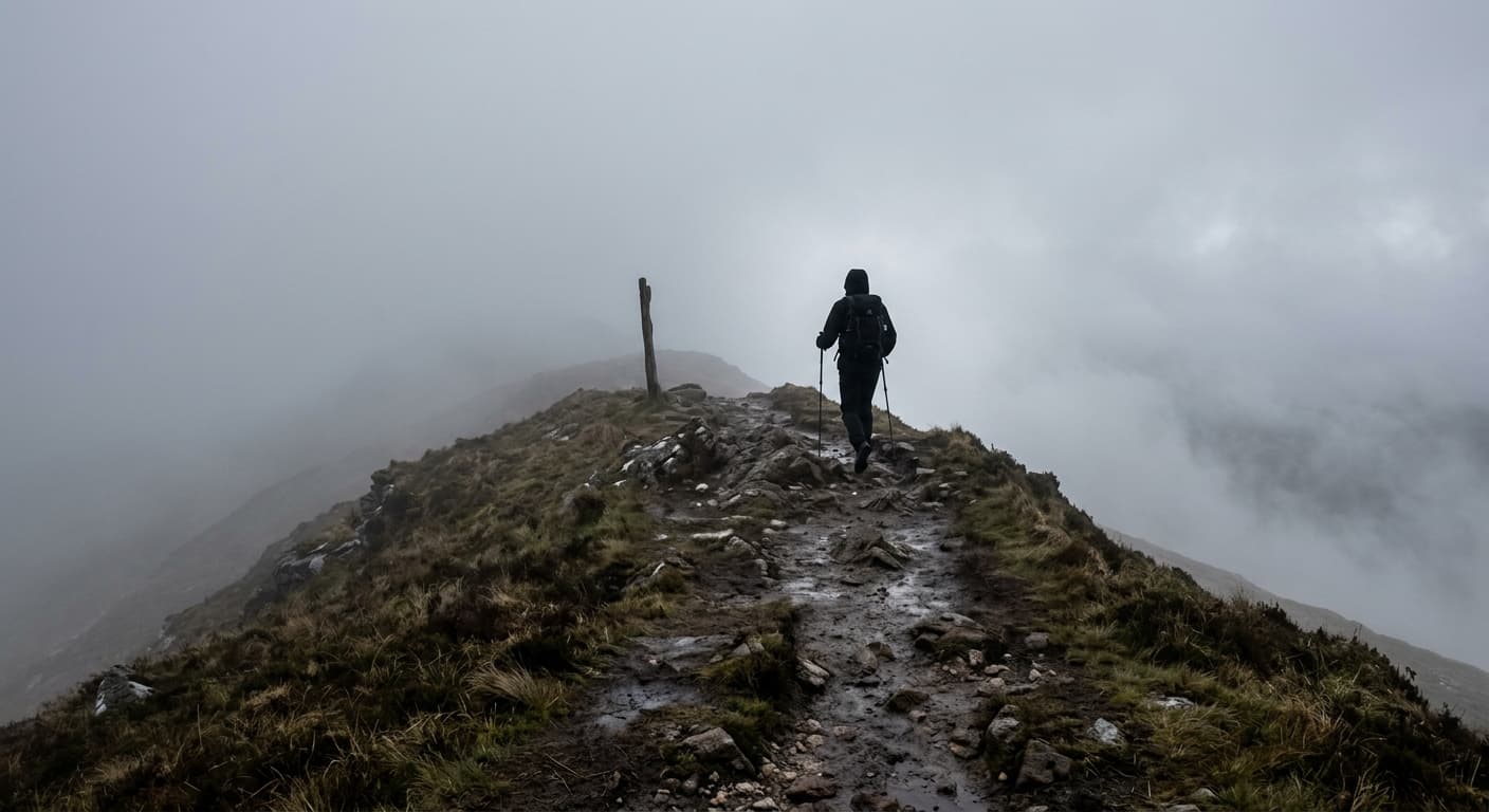
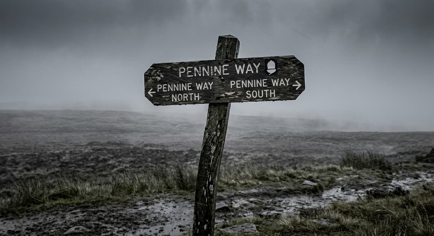
Pennine Way: Edale to Kirk Yetholm
A strenuous 412.7 km main-route GPX from Edale to Kirk Yetholm, with 9,017 m of ascent, sixteen natural stages and enough moorland to recalibrate your idea of ‘a bit damp’.
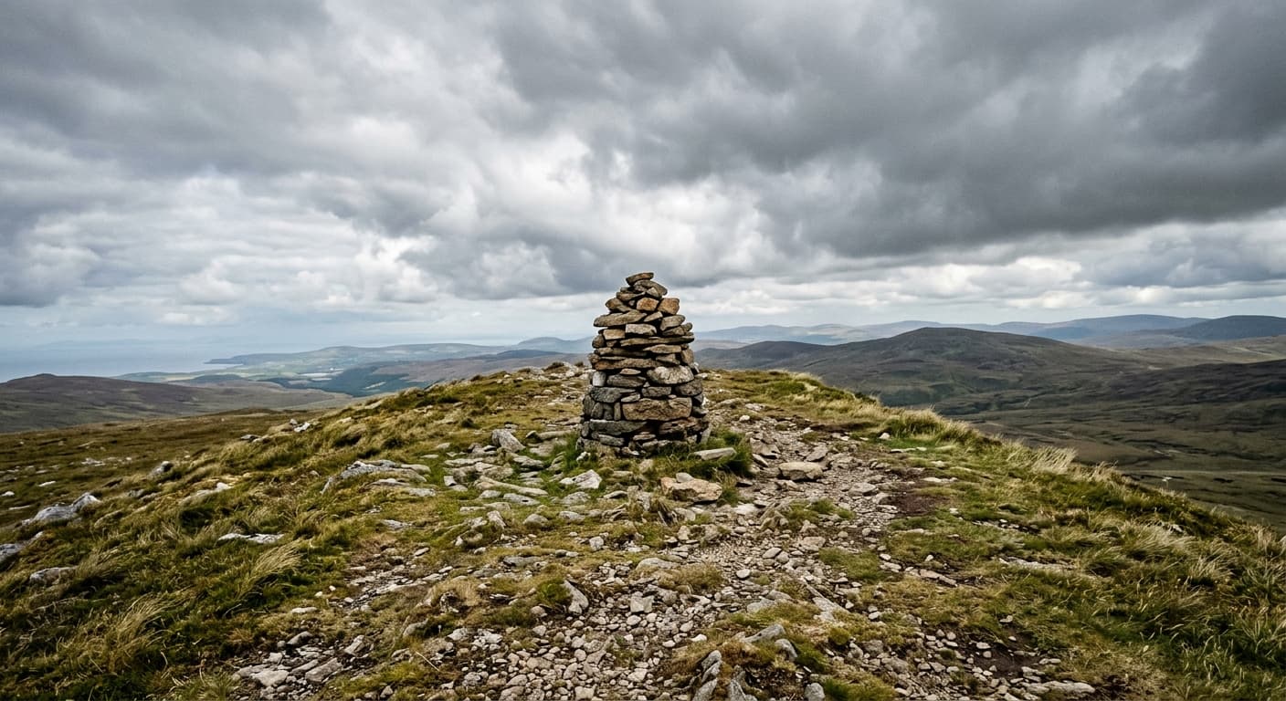
Dufton Pike via Pusgill: North Pennines Route Guide
Climb Dufton Pike from the village by Pusgill and its steep grassy south ridge on a compact North Pennines walk.
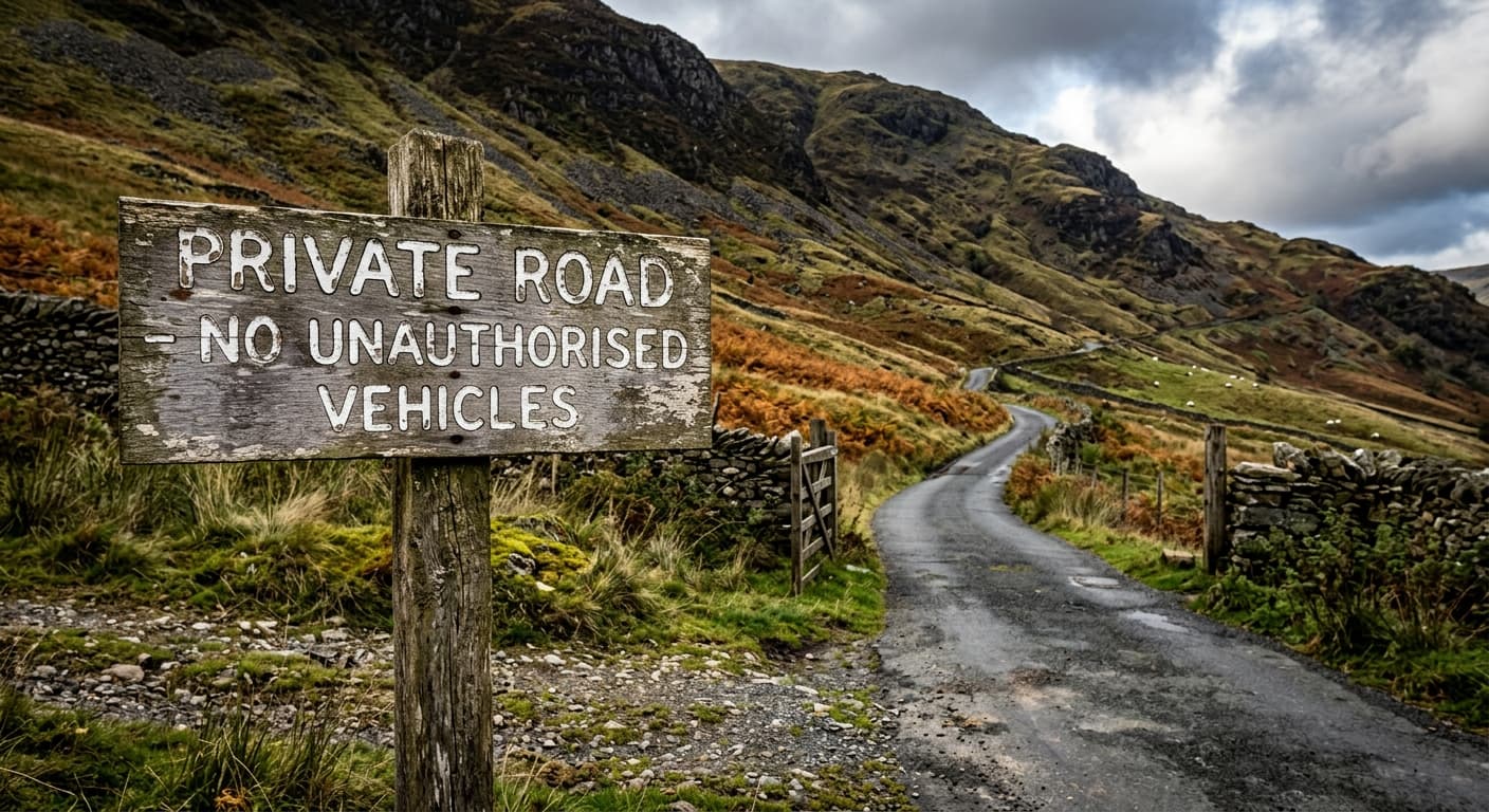
Great Dun Fell via the Radar Road from Knock: Route Guide
Walk Britain’s highest paved road from Knock to the radar dome on Great Dun Fell, returning by the same exposed Pennine route.
Hill Lists and People



Waterfalls
1 guide
Long-Distance Walking
1 guide
Wildlife and Working Landscapes
1 guide

Landscape and Place Names
4 guides
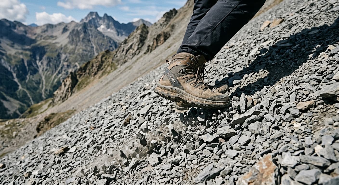
Crag, Scar, and Scree: Why Rock Features Have Such Slippery Names
If you've ever wondered whether that lump of rock is a crag or a scar, you're not alone—these landscape terms overlap more than they separate. A crag usually suggests climbable rock, a scar often implies a steeper face, and scree is the loose rubble beneath either, but regional usage and geological reality blur these boundaries considerably. Think of them as helpful descriptions rather than strict categories, and you'll save yourself a lot of confusion on the hillside.
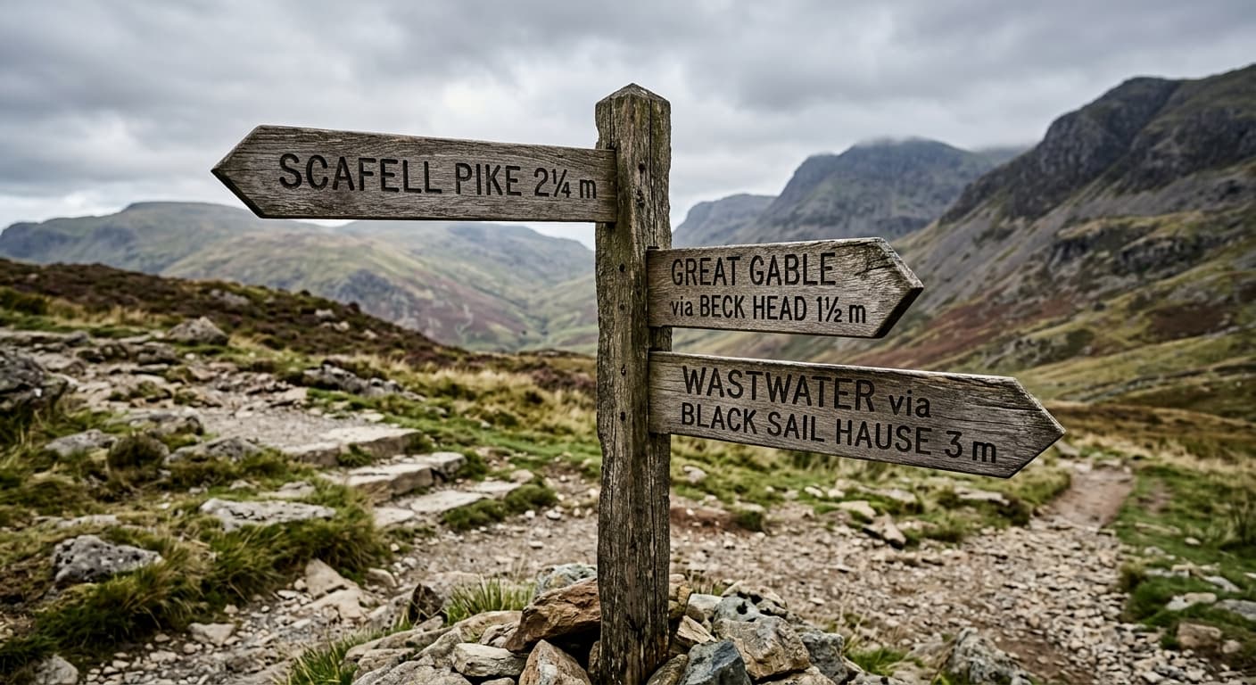
Pike, Dodd, and Hause: Why Northern Fells Have Their Own Vocabulary
If you've walked in the Lake District or northern Pennines, you'll have noticed that hills don't just have names—they have job descriptions. A pike is a pointed summit, a dodd is rounded or subsidiary, and a hause is the pass between them, but their origins aren't as straightforward as you might expect. While hause comes tidily from Old Norse hals (a neck or saddle), the other two have murkier histories, and together they show how fell terminology evolved from more than one linguistic source.
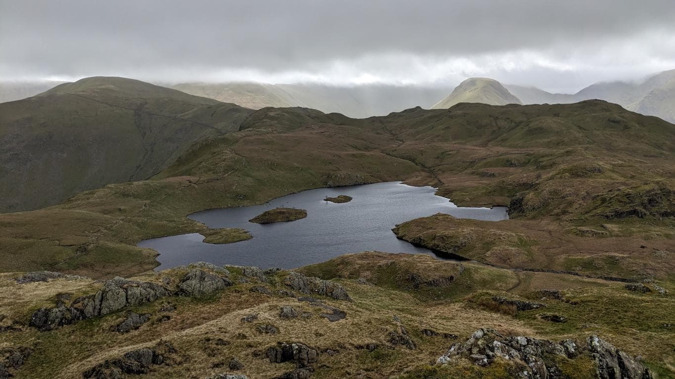
The Language of Water
A guide to the Norse and regional water terms found across the British uplands—and what they can, and cannot, tell you about the terrain.
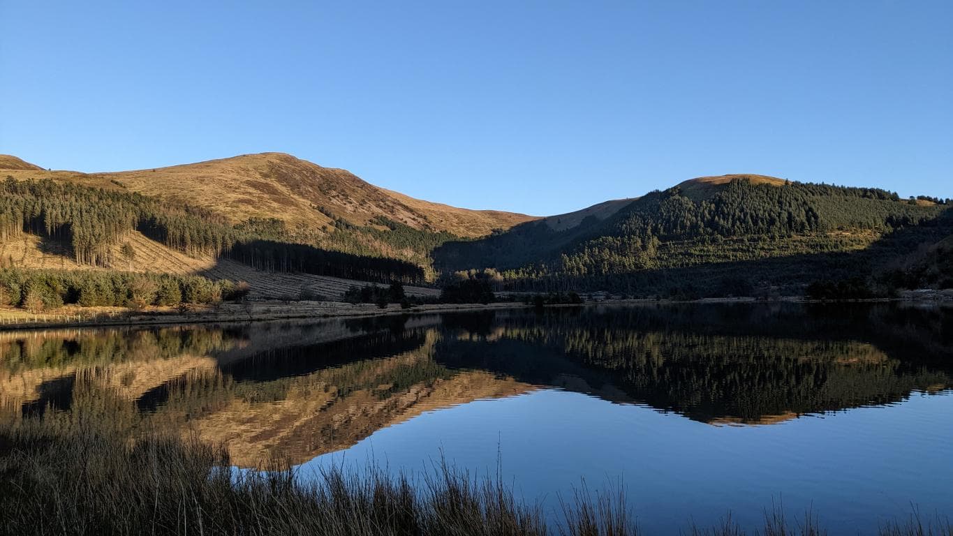
Is it a hill, is it a fell, is it a mountain?
The UK’s names for high places—hills, fells, mountains and tors—reflect language and local custom, while the familiar 2,000-foot line is a hill-list convention rather than an official OS rule.
Access and Mountain Safety
3 guides
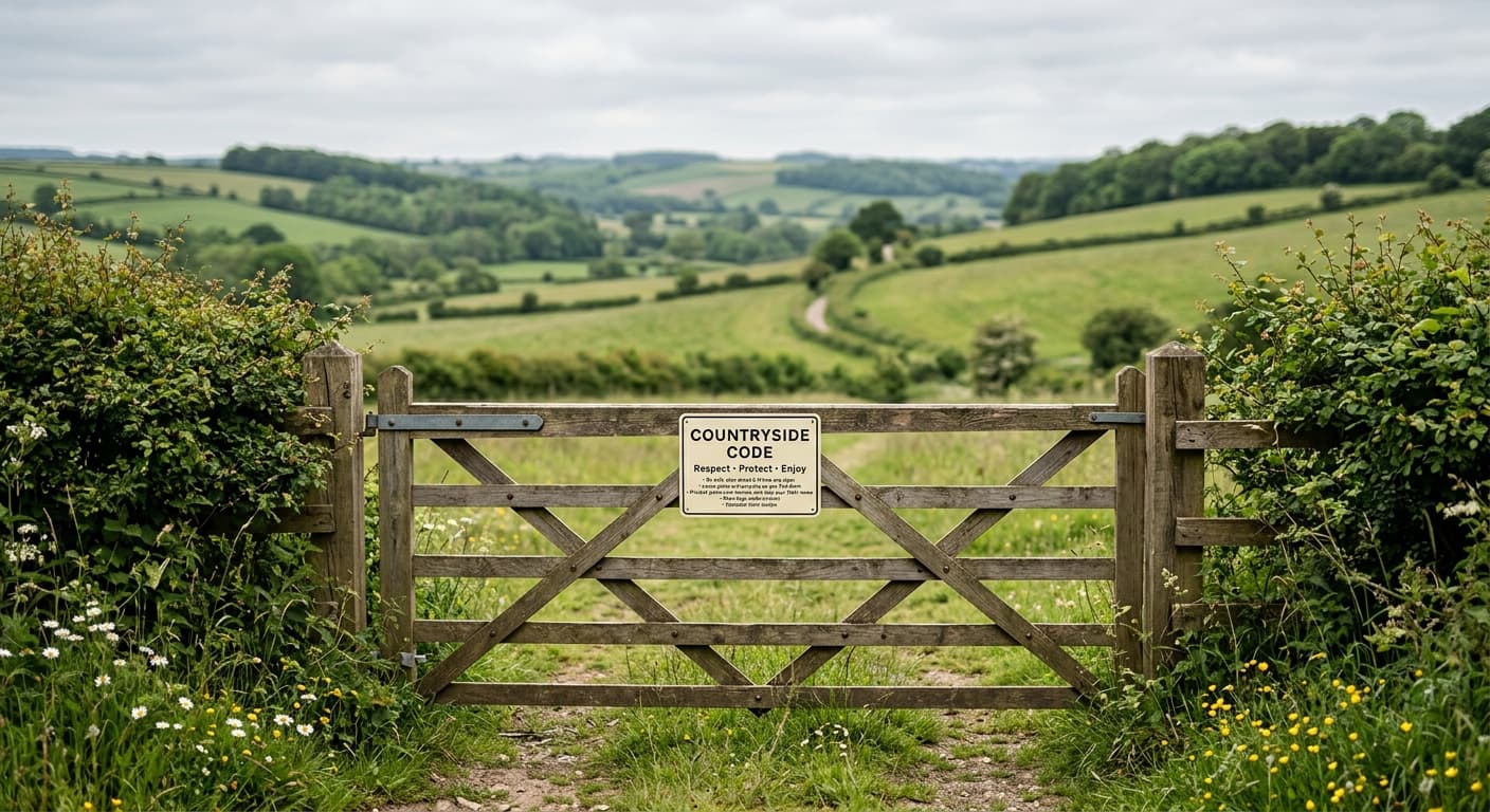
What Is The Countryside Code?
The Countryside Code is the official guidance for anyone visiting the English and Welsh countryside — respect other people, protect the natural environment, and enjoy the outdoors responsibly. It's not legally binding, but several of the behaviours it describes are.
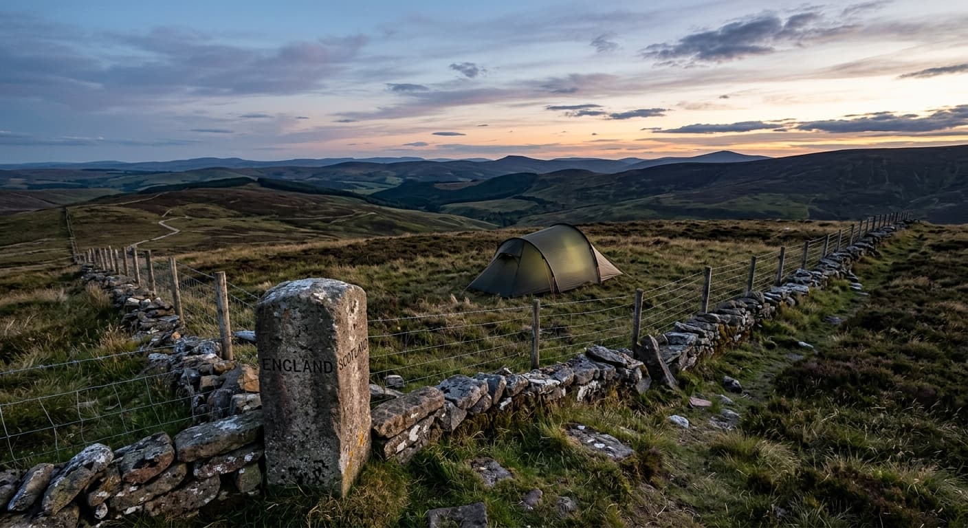
The Wild Camping Grey Area: Where You Can, Where You Can't, and Why Scotland's Different
Britain's wild camping laws are a proper muddle: you generally need permission in England and Wales, Dartmoor's commons offer a genuine legal right to pitch, and Scotland grants access across most land under its own statute. The confusion comes from assuming that permission to walk somewhere includes permission to sleep there, which it usually doesn't, and the legal ground shifts beneath your boots without so much as a signpost to warn you.
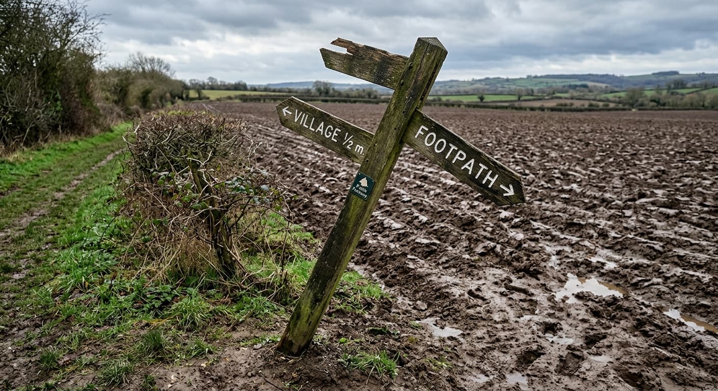
What to Actually Do When a Farmer Tells You You're Trespassing
Sometimes you are trespassing, sometimes the path is legitimately diverted, and sometimes farmers are simply wrong about where rights of way run. How you respond determines whether it becomes a polite correction or a police matter, and knowing the law helps more than getting defensive.
Continue exploring