The Pennine Way
65 miles through the region
The trail crosses Upper Teesdale, High Cup Nick and the great summit chain between Dufton and Garrigill before continuing north towards Hadrian’s Wall.
Region guide
“What I see is a limestone landscape”
— W. H. Auden, In Praise of Limestone
Highest Summit
Cross Fell — 893mHighest Paved Road
Great Dun Fell — 848mWaterfall Drop
High Force — 21mLong-Distance Circuit
Roof of England Walk — 188 milesDark Sky Site
16 designated viewing locationsNational Landscape
Nearly 2,000km² — the second largest in England and WalesAbout the region
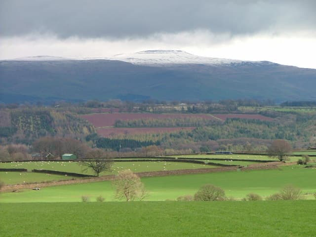
The North Pennines form a broad sweep of high moorland between the Lake District, Yorkshire Dales and Northumberland. Cross Fell rises above the Eden Valley at its western edge, leading into a chain of exposed summits crossed by the Pennine Way. These hills are rounded rather than rocky, but their height, peat and famously uncooperative weather make them serious walking country.
East of the main ridge, the landscape breaks into long valleys shaped by the rivers Tees, Wear and South Tyne. Waterfalls punctuate Upper Teesdale, while old paths climb from villages such as Dufton, Garrigill, Alston and Middleton-in-Teesdale towards remarkably empty uplands.
Mining has left a particularly strong mark. Abandoned shafts, hushes, reservoirs, tramways and ruined engine houses appear far from modern roads, giving many walks a sense of exploring a landscape that has quietly returned to the moor.
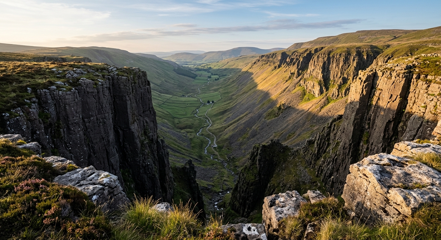
The North Pennines also contains gentler routes through hay meadows, river valleys and woodland. High Cup Nick provides its most dramatic natural landmark: a vast glacial valley cut deeply into the western escarpment.
This is a region for walkers who value space over spectacle. The summits may lack sharp ridges, but the distances are substantial, the weather changes quickly and solitude is rarely difficult to find.
Regional signature
The Pennine Way
Lead-Mining Dales
High Cup Nick
Rivers run strongly and breeding waders return to the moors. Snow can linger on Cross Fell, while saturated peat makes higher routes tiring.
Best for: Waterfalls, hay meadows and upland birdsLong daylight suits remote ridge walks and valley-to-valley routes. The open fells provide little shelter, even when the forecast confidently promises otherwise.
Best for: Long crossings and the Pennine WayCooler weather makes the longer climbs more comfortable. Valley colours deepen, although mist and shorter days can complicate high-level routes.
Best for: Clear views, mining trails and quieter pathsCross Fell and the Dun Fells can develop full winter conditions. Lower valleys offer safer alternatives, while clear nights reveal exceptionally dark skies.
Best for: Experienced walkers and stargazingTrailTrack Favourites
Ten hills chosen by TrailTrack
Continue exploring
Follow old miners’ paths onto the roof of England, where the rivers begin and the next horizon is usually a long way off.