17 guides in Wales
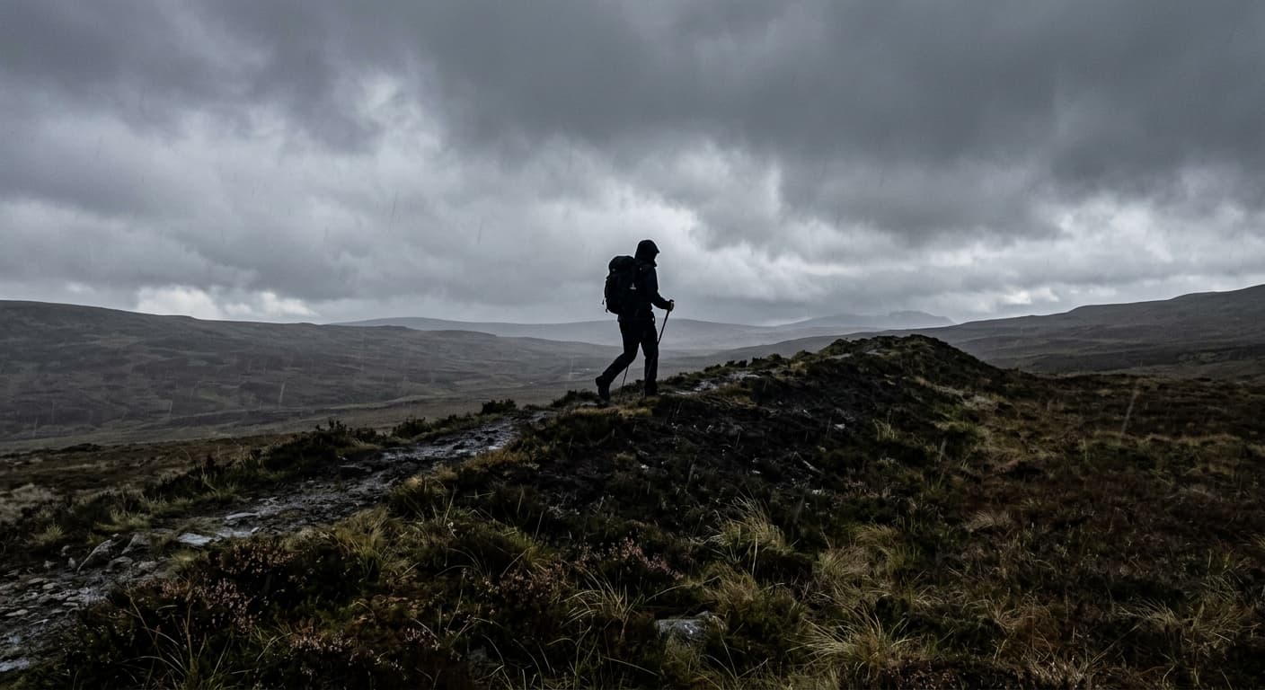
Cambrian Way: Cardiff to Conwy
A 486.6-kilometre mountain journey from Cardiff Castle to Conwy Castle, crossing the highest ranges of Wales with 17,475 metres of ascent and no promise of waymarks when you need them most.
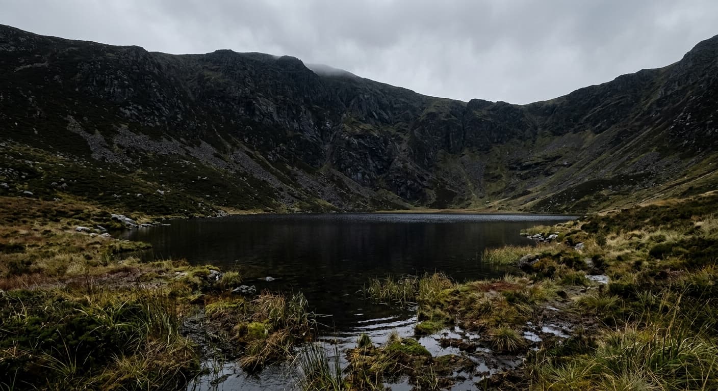
Cadair Berwyn via Pistyll Rhaeadr: Route Guide
Climb Cadair Berwyn from Pistyll Rhaeadr, passing Llyn Lluncaws and Moel Sych on a steep route to northeast Wales’s highest summit.

Pumlumon Fawr via Eisteddfa Gurig
The standard direct out-and-back from Eisteddfa Gurig to Pumlumon Fawr across a boggy upland plateau.
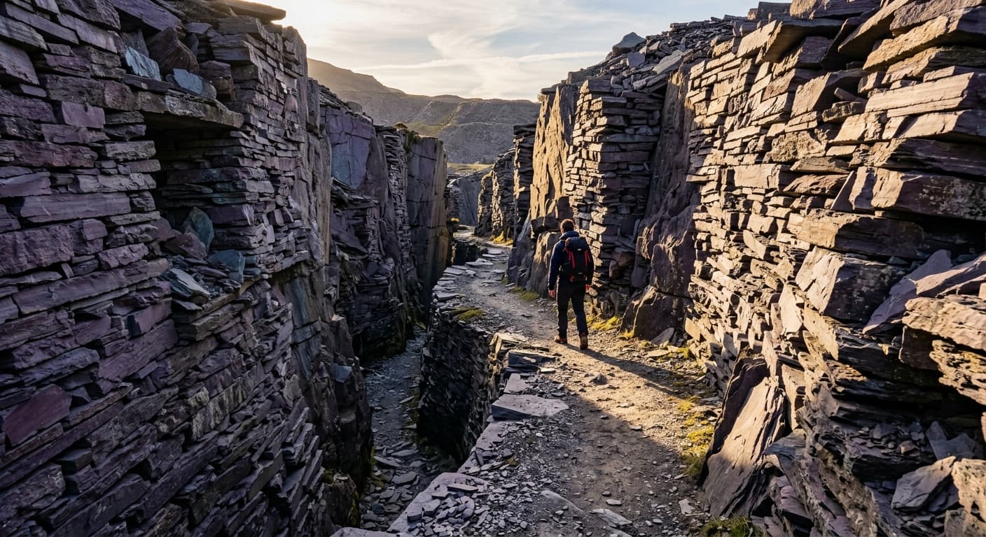
Snowdonia Slate Trail: Porth Penrhyn to Bethesda
A 136.5 km trail through Snowdonia's slate-quarrying heartland, beginning at Porth Penrhyn near Bangor and running 10.2 km inland to Bethesda, then following a 126.3 km loop through mountain-ringed settlements on old tramways, quarry tracks and woodland paths before returning to Bethesda.
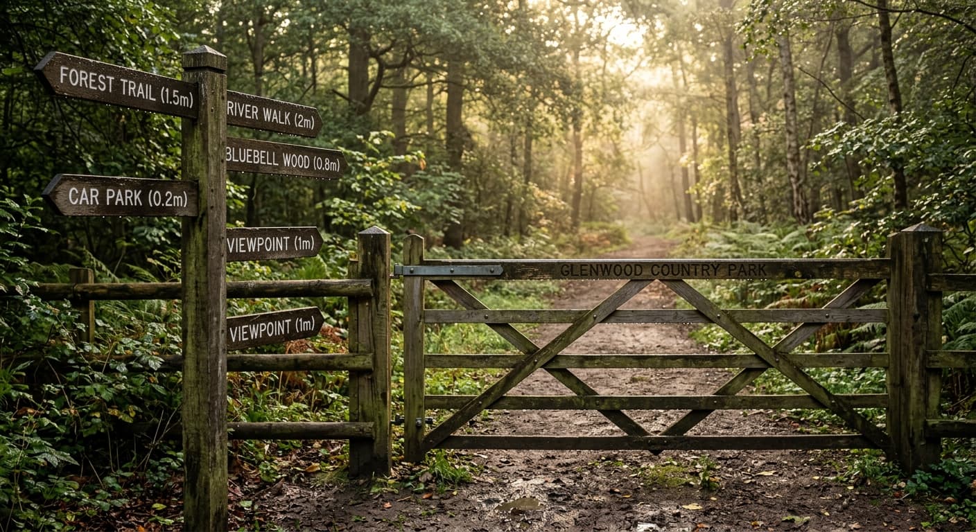
Moel Famau via Bwlch Penbarras
The busy, approachable ascent from Bwlch Penbarras to Moel Famau's Jubilee Tower.
Moel Siabod via Pont Cyfyng and Daear Ddu
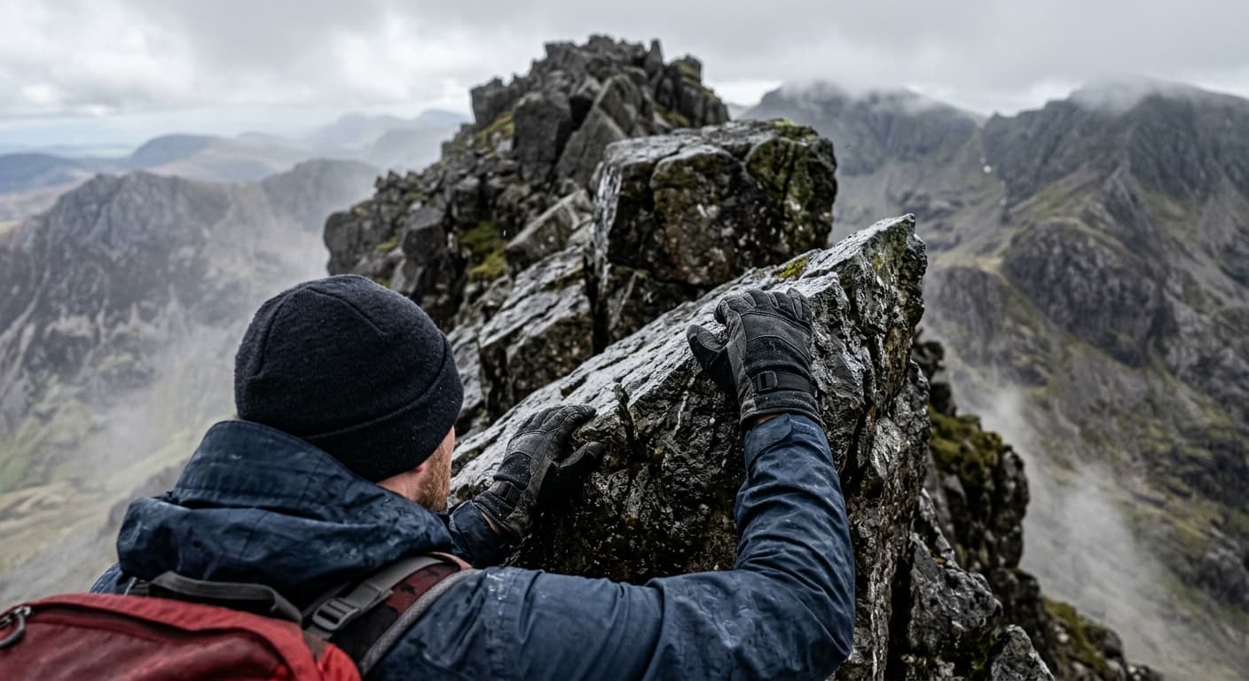
A serious out-and-back from Pont Cyfyng via Llyn y Foel and the Grade 1 Daear Ddu ridge to Moel Siabod.
Arenig Fawr via Llyn Arenig Fawr
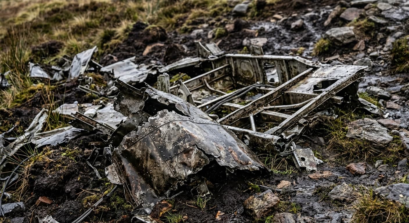
A long out-and-back from Arenig via Llyn Arenig Fawr, its bothy and Y Castell to Arenig Fawr.
Aran Fawddwy via Cwm Cywarch
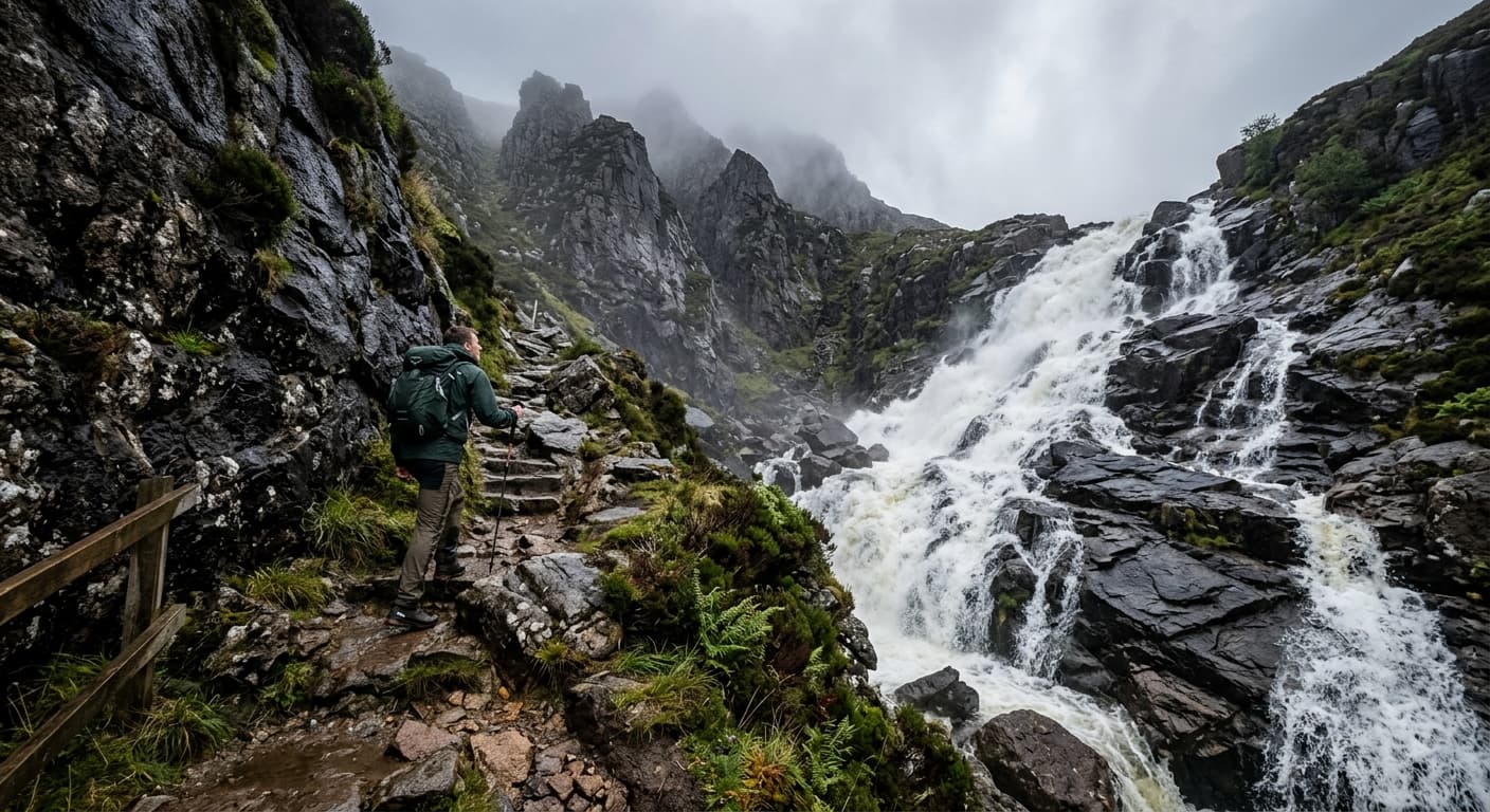
A demanding out-and-back from Cwm Cywarch via the gorge and boggy fence-line ridge to Aran Fawddwy.
Sugar Loaf via Mynydd Llanwenarth
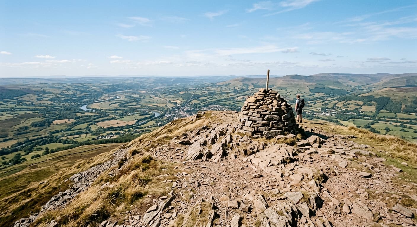
The popular southern-ridge out-and-back from Mynydd Llanwenarth to Sugar Loaf, or Y Fal.
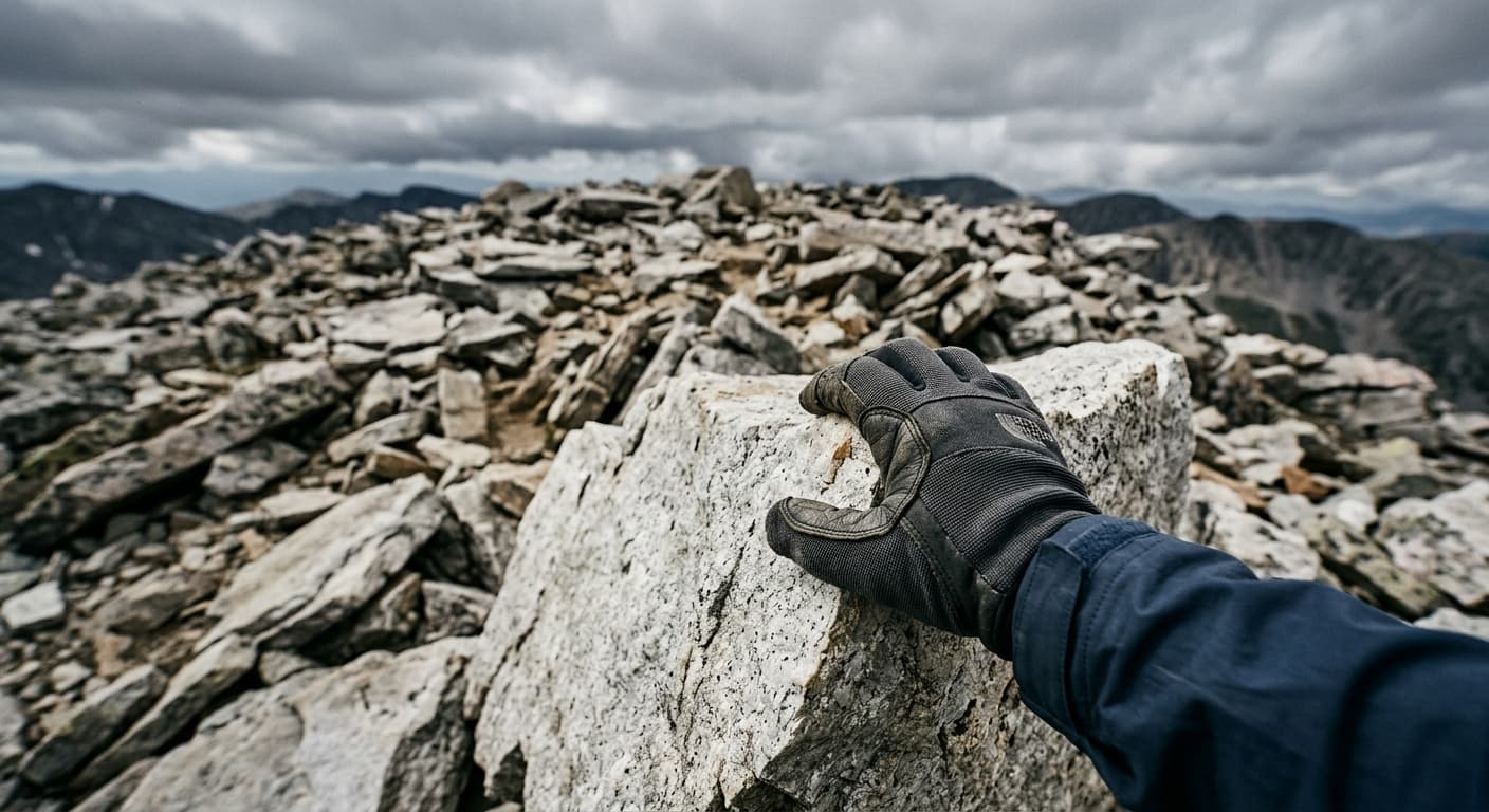
Glyder Fawr via Devil's Kitchen: Eryri Route Guide
Climb Glyder Fawr from Ogwen through Cwm Idwal and Devil’s Kitchen, finishing across its wild boulder-strewn summit.
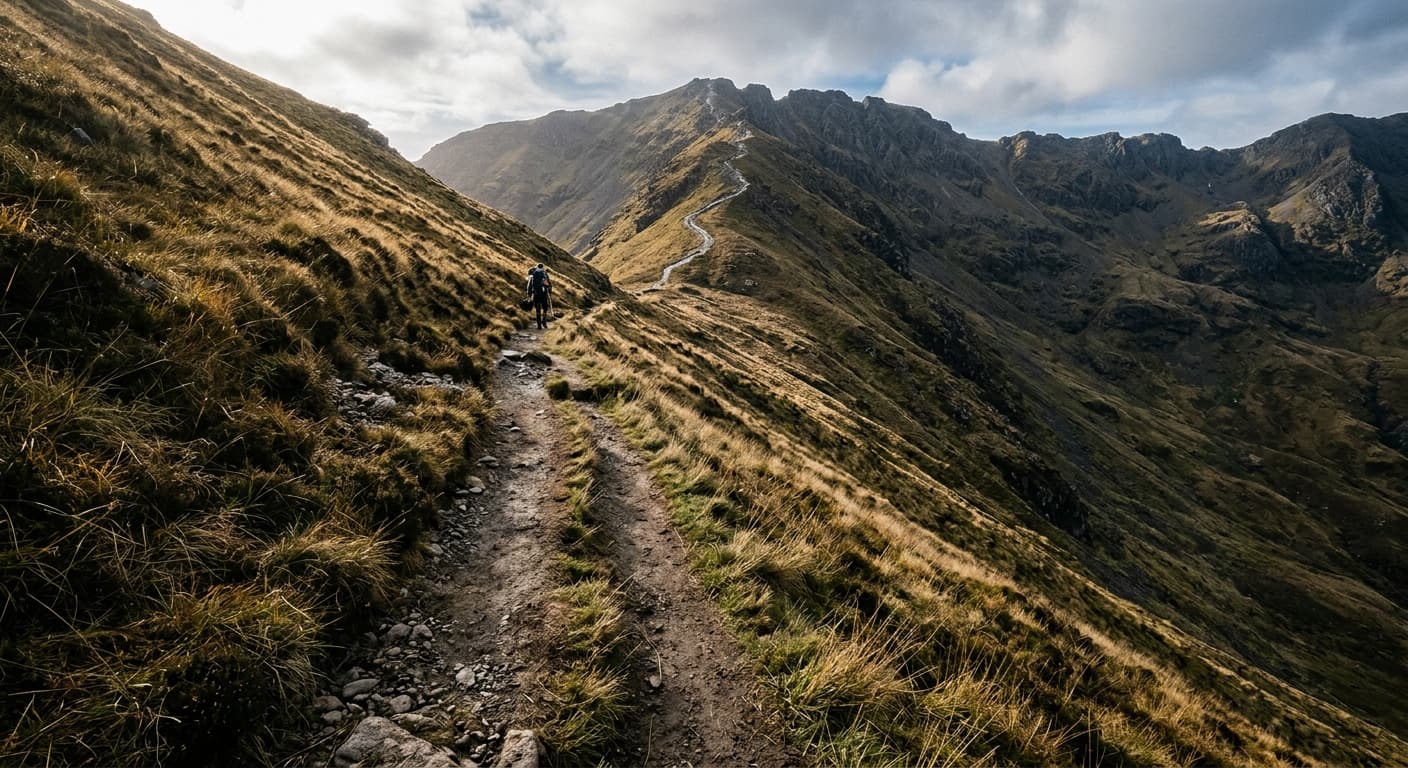
Moel Hebog via Beddgelert
A strenuous out-and-back from Beddgelert through Cwm Cloch and steep scree to Moel Hebog.
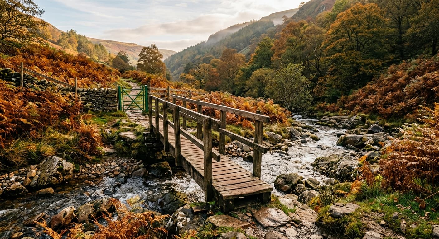
Pen y Fan via Pont ar Daf and Corn Du
The popular engineered out-and-back from Pont ar Daf via Corn Du to Pen y Fan.
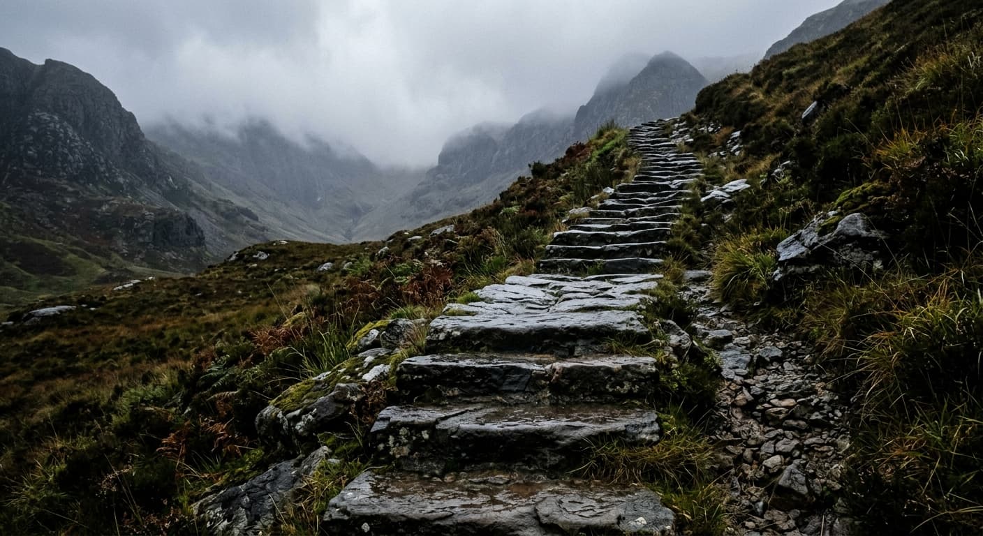
Rhinog Fawr via the Roman Steps
A serious out-and-back from Cwm Bychan via the Roman Steps and Llyn Du to rugged Rhinog Fawr.
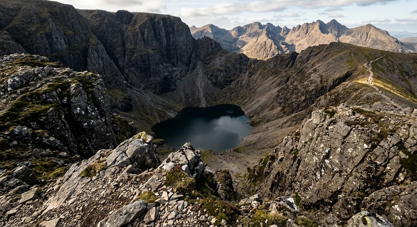
Cadair Idris via the Minffordd Path
Climb Cadair Idris from Dôl Idris on the steep Minffordd Path, following an 8.6 km out-and-back GPX with 887 m of ascent. Allow longer than the 3h 12m GPX estimate for the strenuous climb, summit navigation and careful descent.
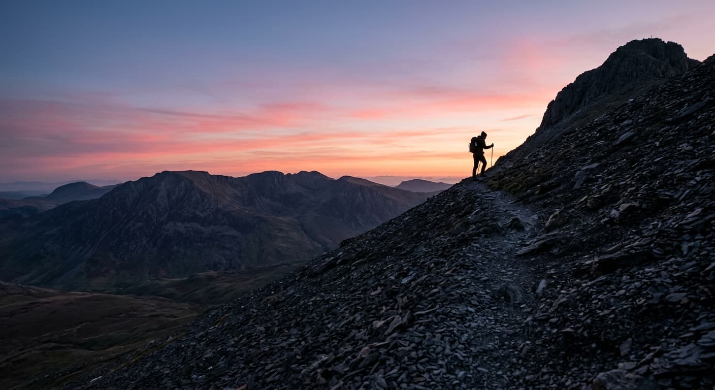
Y Garn via Llyn Idwal and Devil’s Kitchen
Follow this GPX on an 8.2 km out-and-back to Y Garn via Llyn Idwal, the steep path beside Twll Du and Llyn y Cwn. The route gains 725 m and has a GPX-derived estimate of 2 hours 51 minutes, with rough, loose and often slippery mountain terrain.
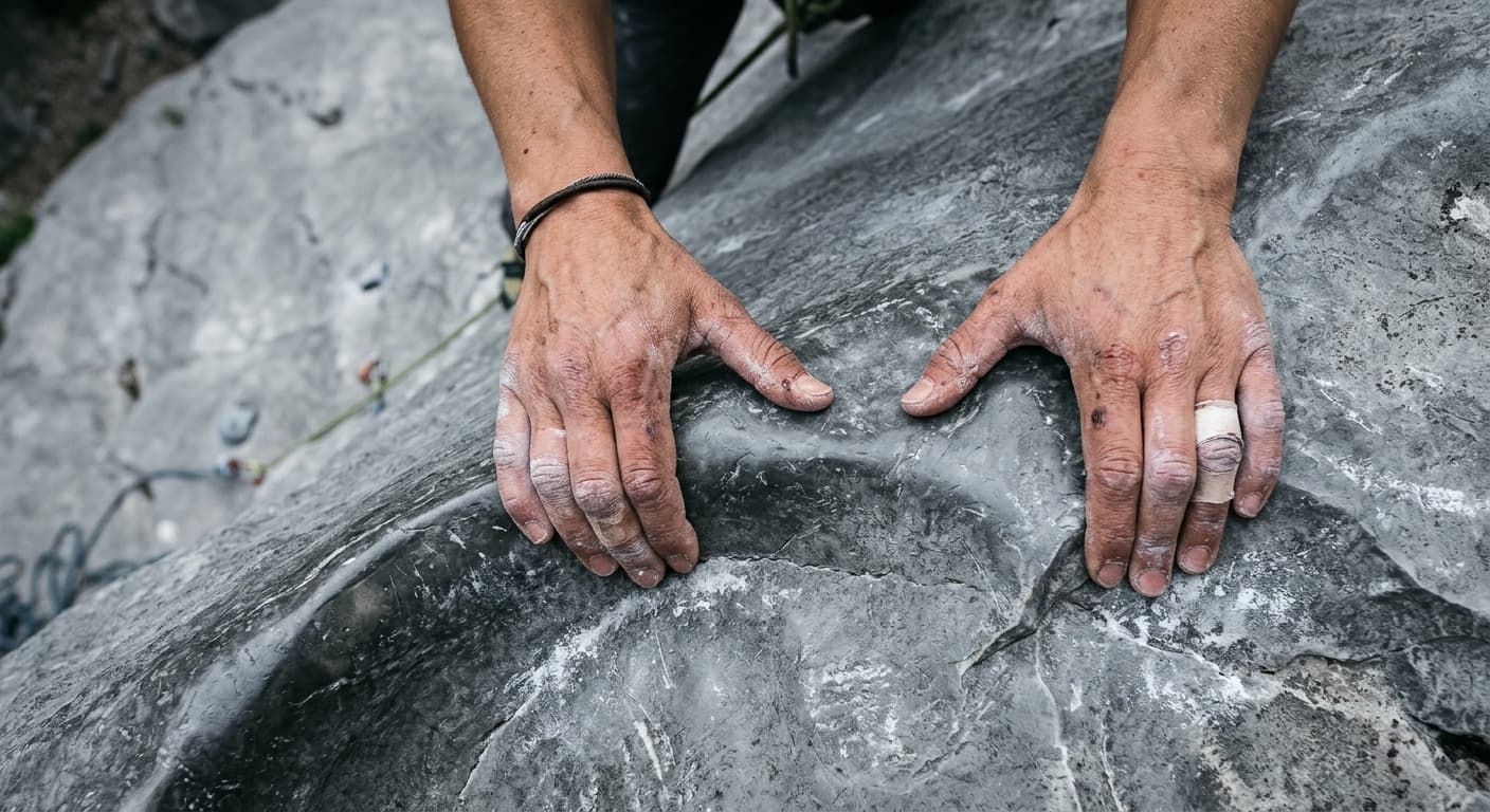
Tryfan North Ridge Out-and-Back from the A5
A severe 2.7 km out-and-back scramble from the A5 to Tryfan’s 918 m summit, gaining 621 m on the classic North Ridge. Sustained Grade 1 rock, complex route-finding and the need to reverse the line make this far more serious than its distance suggests.
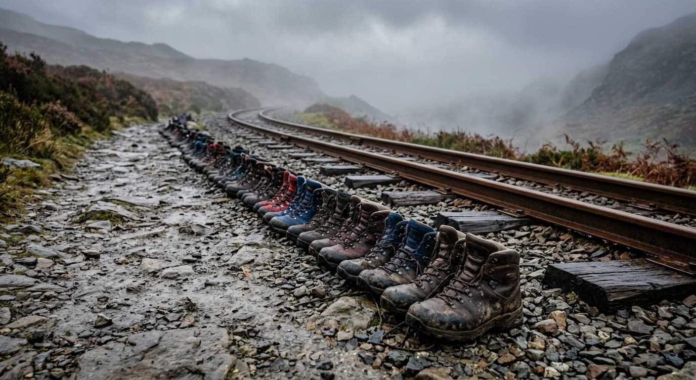
Yr Wyddfa via the Llanberis Path
A strenuous 12.1 km out-and-back from the Llanberis Path trailhead to Yr Wyddfa’s 1,085 m summit, gaining 837 m. It is the mountain’s most gradual main route, but still long, rough, exposed and demanding in poor weather.