12 guides in Yorkshire Dales & Moors
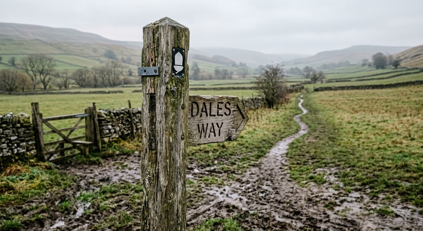
Dales Way: Ilkley to Bowness-on-Windermere
A complete 131.8 km GPX route from Ilkley to Bowness-on-Windermere, following Wharfedale, Dentdale and the gentler edge of Lakeland with 1,343 m of ascent.
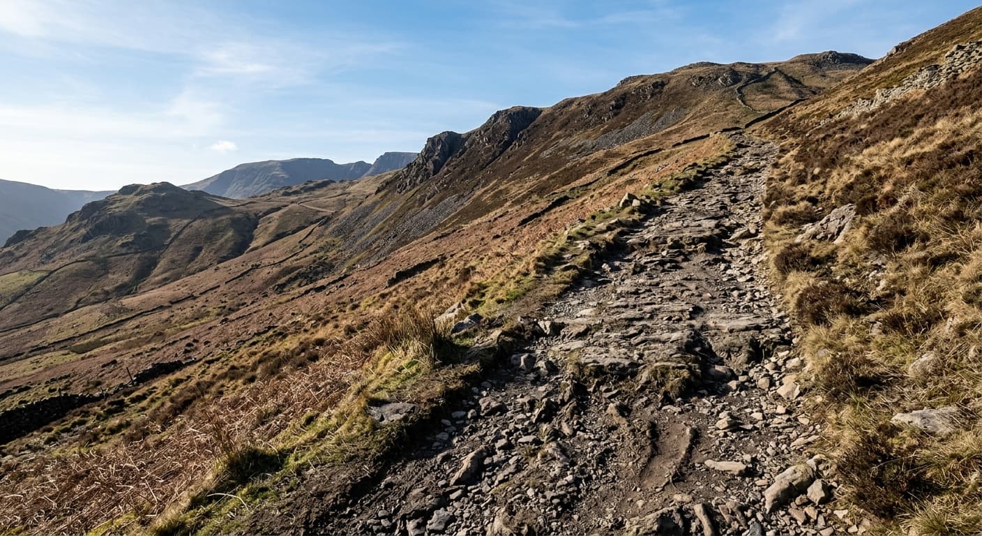
Buckden Pike via Buckden Rake: Yorkshire Dales Route Guide
Follow Buckden Rake from the village to Buckden Pike’s open moorland summit on a direct and rewarding Yorkshire Dales out-and-back.
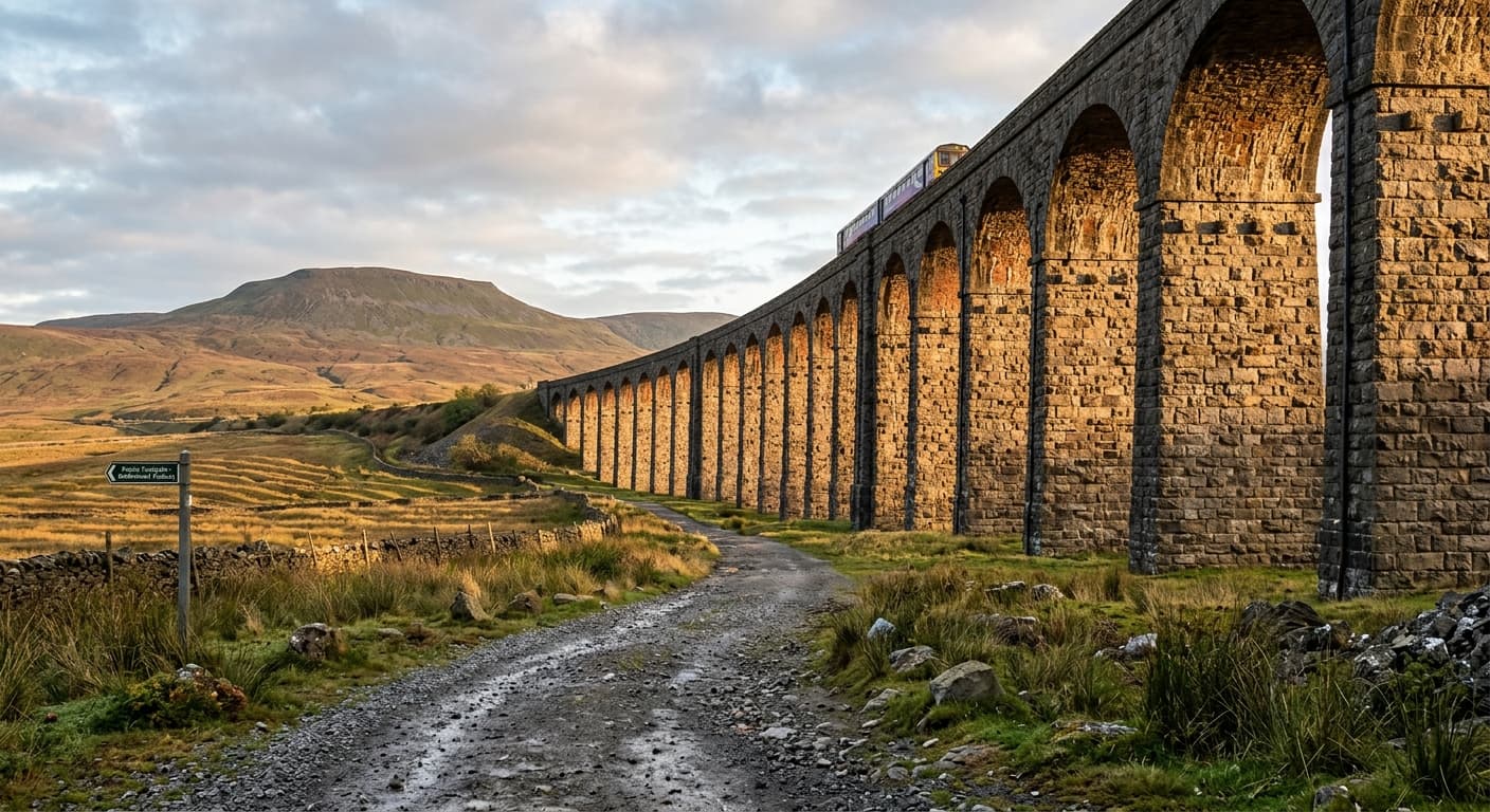
Whernside via Ribblehead
The standard out-and-back from Ribblehead via the railway path and east flank to Whernside.
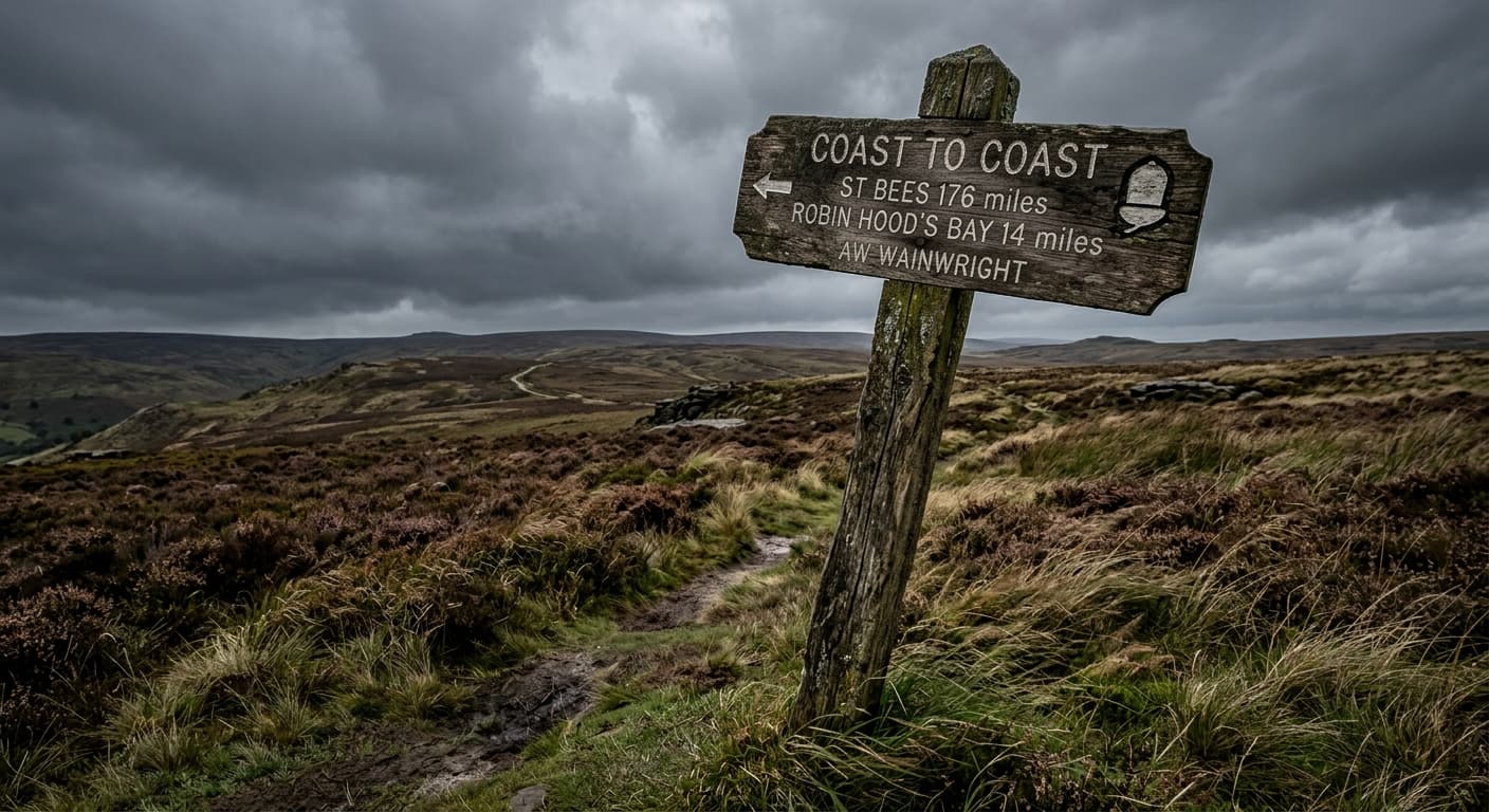
Coast to Coast: St Bees to Robin Hood's Bay
A complete 304.4 km GPX route from the Irish Sea at St Bees to the North Sea at Robin Hood's Bay, crossing the Lake District, Yorkshire Dales and North York Moors.
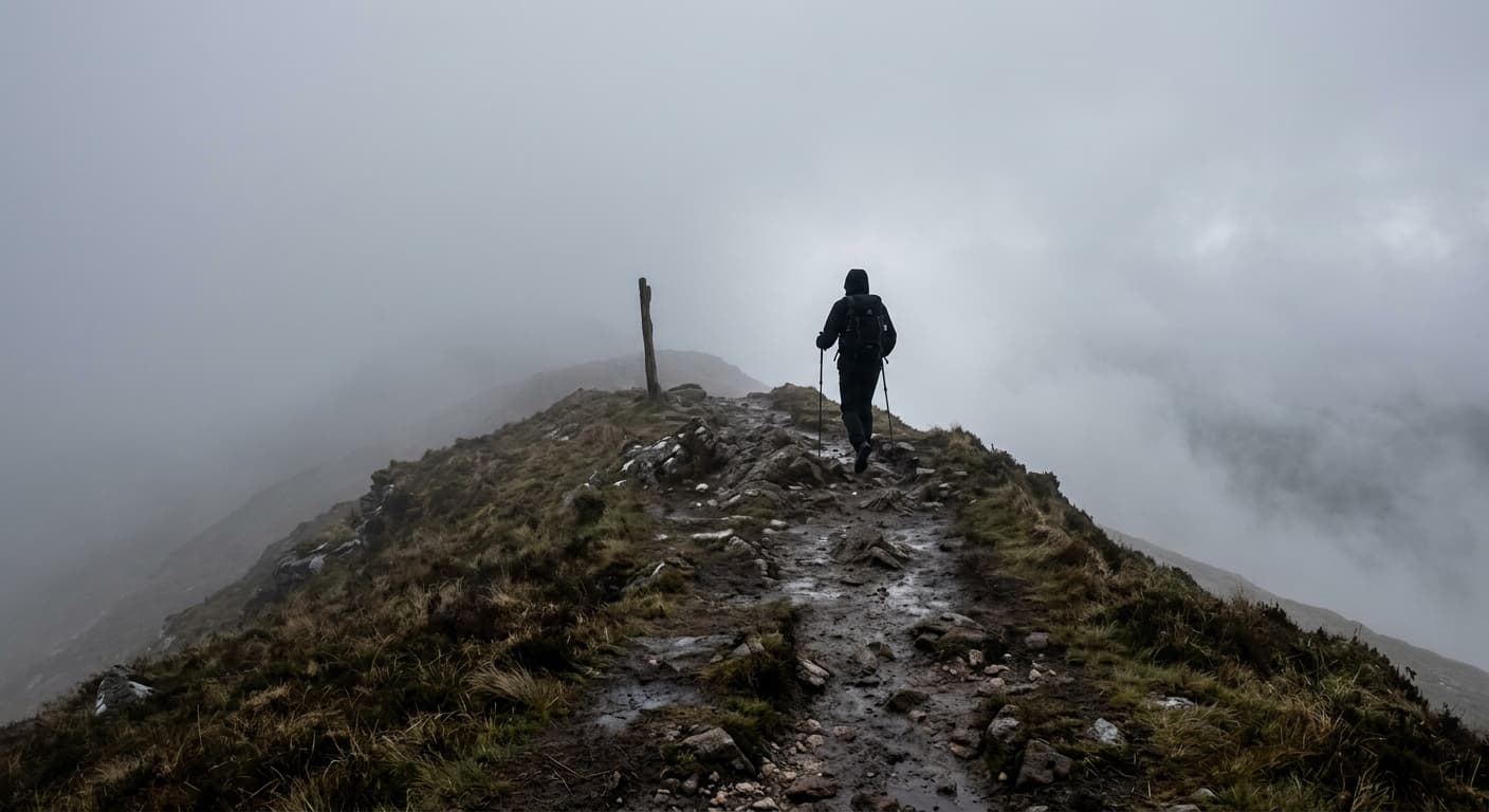
Pennine Way: Edale to Kirk Yetholm
A strenuous 412.7 km main-route GPX from Edale to Kirk Yetholm, with 9,017 m of ascent, sixteen natural stages and enough moorland to recalibrate your idea of ‘a bit damp’.
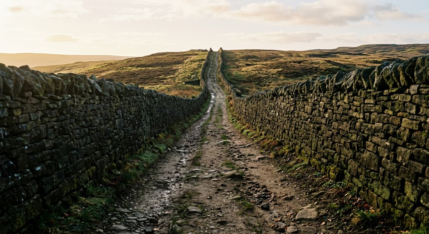
Great Shunner Fell via Hardraw
A steady Pennine Way out-and-back from Hardraw across open moorland to Great Shunner Fell's summit shelter.
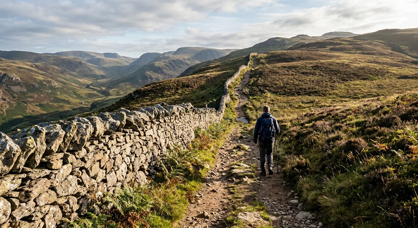
Great Whernside via Kettlewell
A direct out-and-back from Kettlewell via Hag Dyke and open moorland to the summit of Great Whernside.
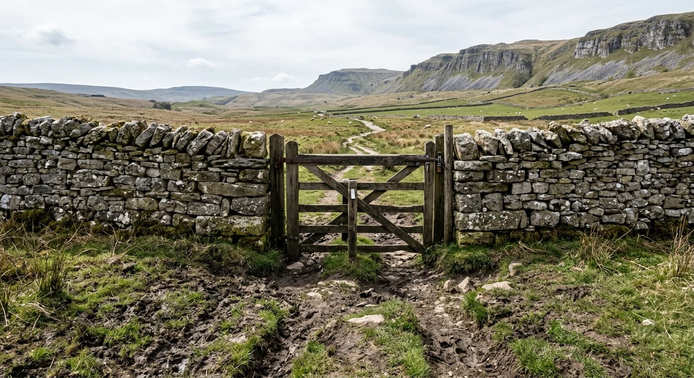
Pen-y-ghent via Brackenbottom
The standard out-and-back from Horton via Brackenbottom and the southern scramble to Pen-y-ghent.
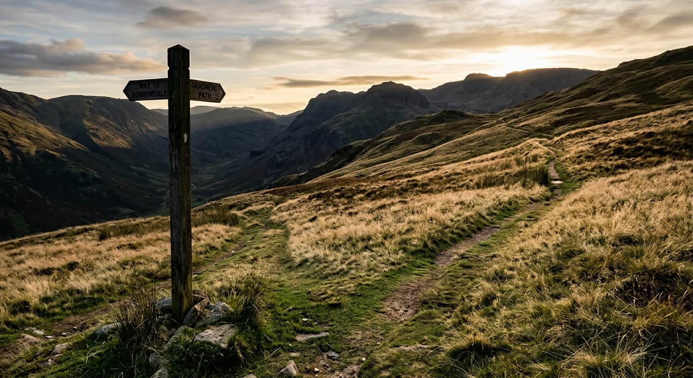
The Calf via Sedbergh and Calders
The classic out-and-back from Sedbergh via Settlebeck and Calders to The Calf.
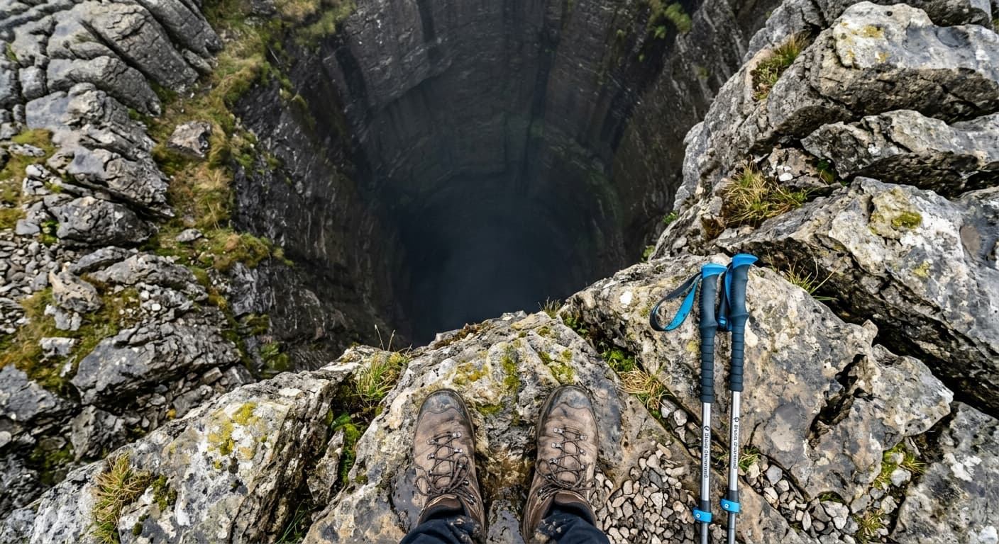
Ingleborough from Clapham via Trow Gill
Follow this 14.9 km GPX out-and-back from Clapham to Ingleborough via Ingleborough Cave, Trow Gill, Gaping Gill and Little Ingleborough. It gains 666 m and has a 4h 06m walking estimate, with serious navigation and pothole hazards clearly explained.
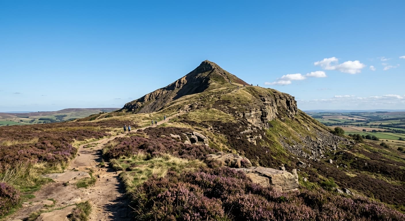
Roseberry Topping from Newton-under-Roseberry
A short, steep 2.4 km out-and-back from Newton-under-Roseberry to the distinctive 320 m summit, gaining 189 m on the stepped western path. Expect woodland, open hillside and far-reaching Cleveland views—not a technical scramble.

Yorkshire Three Peaks from Horton-in-Ribblesdale
A strenuous 38.6 km circuit over Pen-y-ghent, Whernside and Ingleborough, with 1,513 m of ascent. This GPX follows the classic clockwise challenge route from Horton-in-Ribblesdale.