Guides & Routes
The Yorkshire Dales & Moors Library
From limestone dales and sweeping heather moors to waterfalls, wildlife and centuries of local history, explore Yorkshire through our guides and hiking routes with downloadable GPX files.
Beneath the Dales
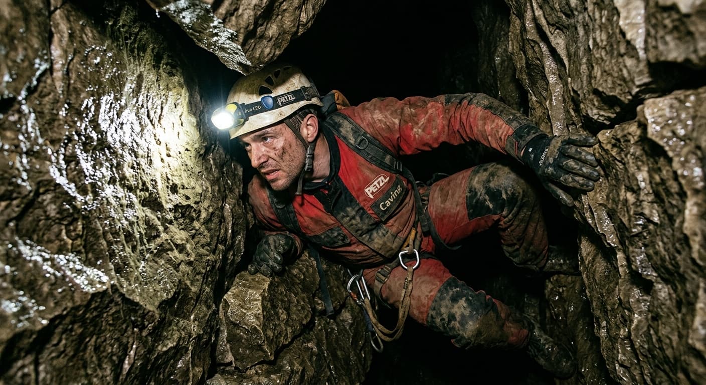
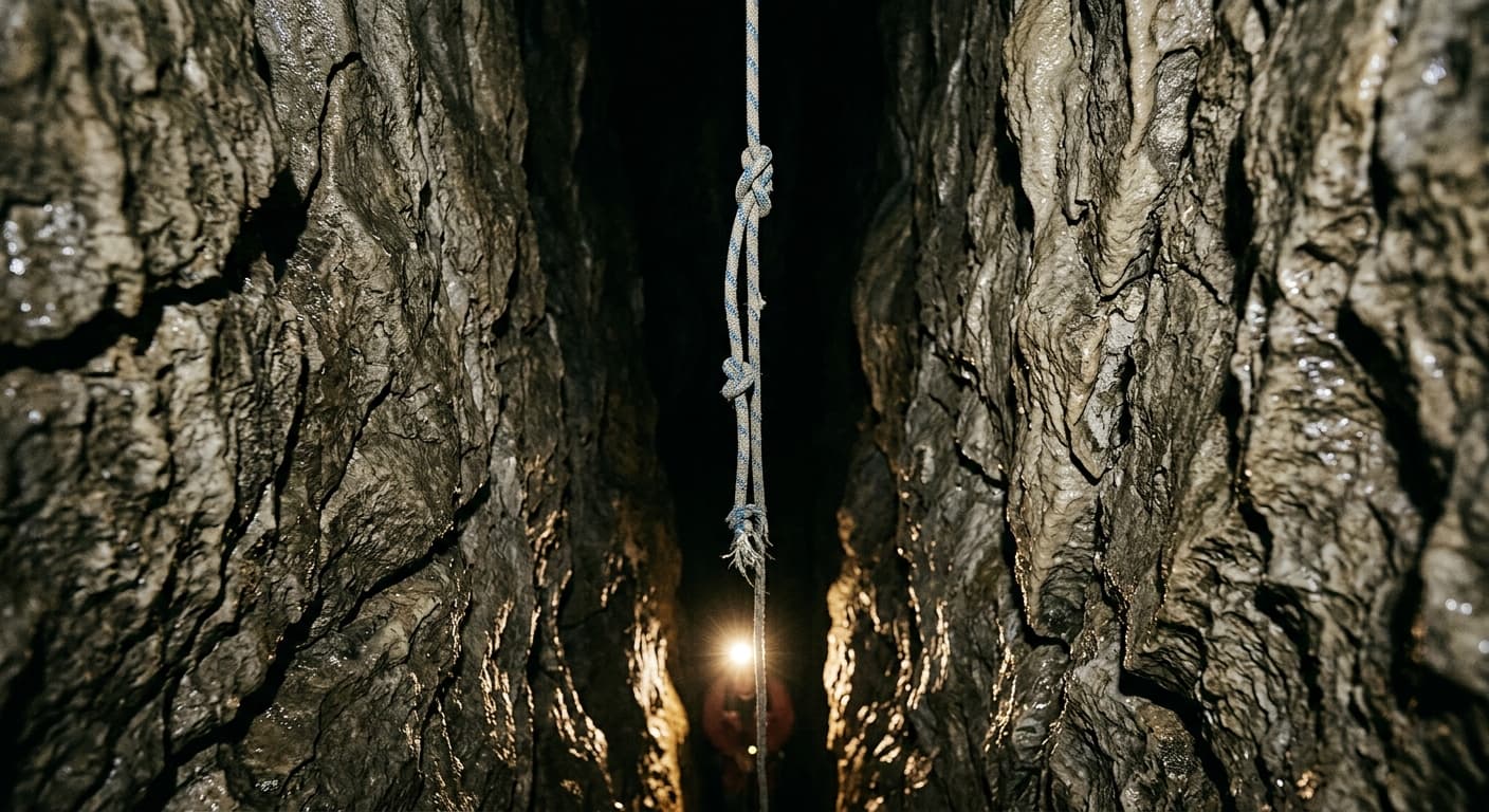
The Yorkshire Dales are every bit as fascinating below ground as they are above it. Explore caves, potholes, underground rivers, limestone pavements and the remarkable hidden landscapes that lie beneath the hills.
4 guides
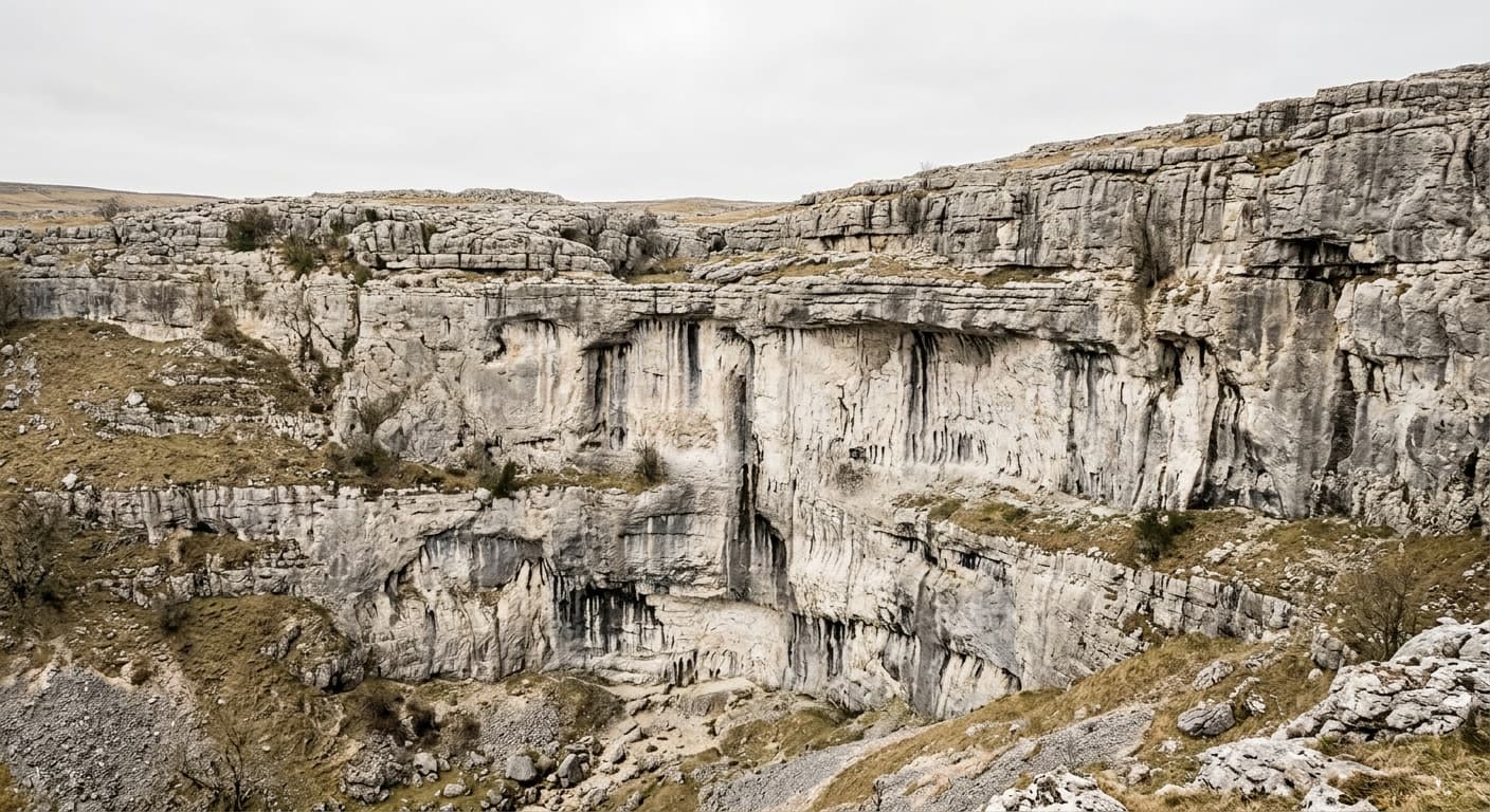
Malham Cove's Missing Waterfall: When the River Took a Different Route
The curved limestone cliff looks built for a waterfall, and in exceptional floods it gets one. But Malham Beck sinks nearby, the Aire rises from springs to the south, and dye tracing shows the plumbing is more complicated than the textbooks claimed.
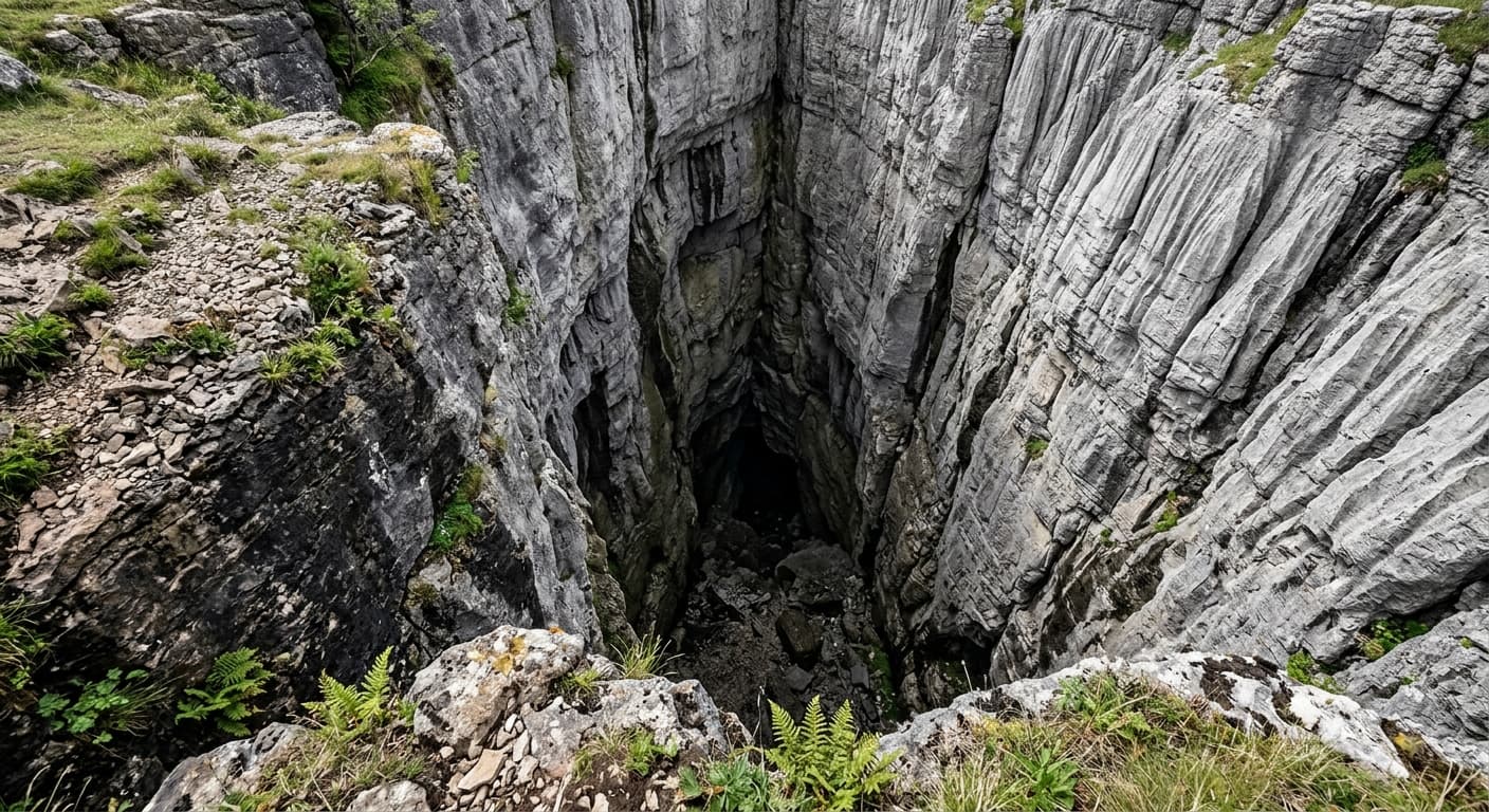
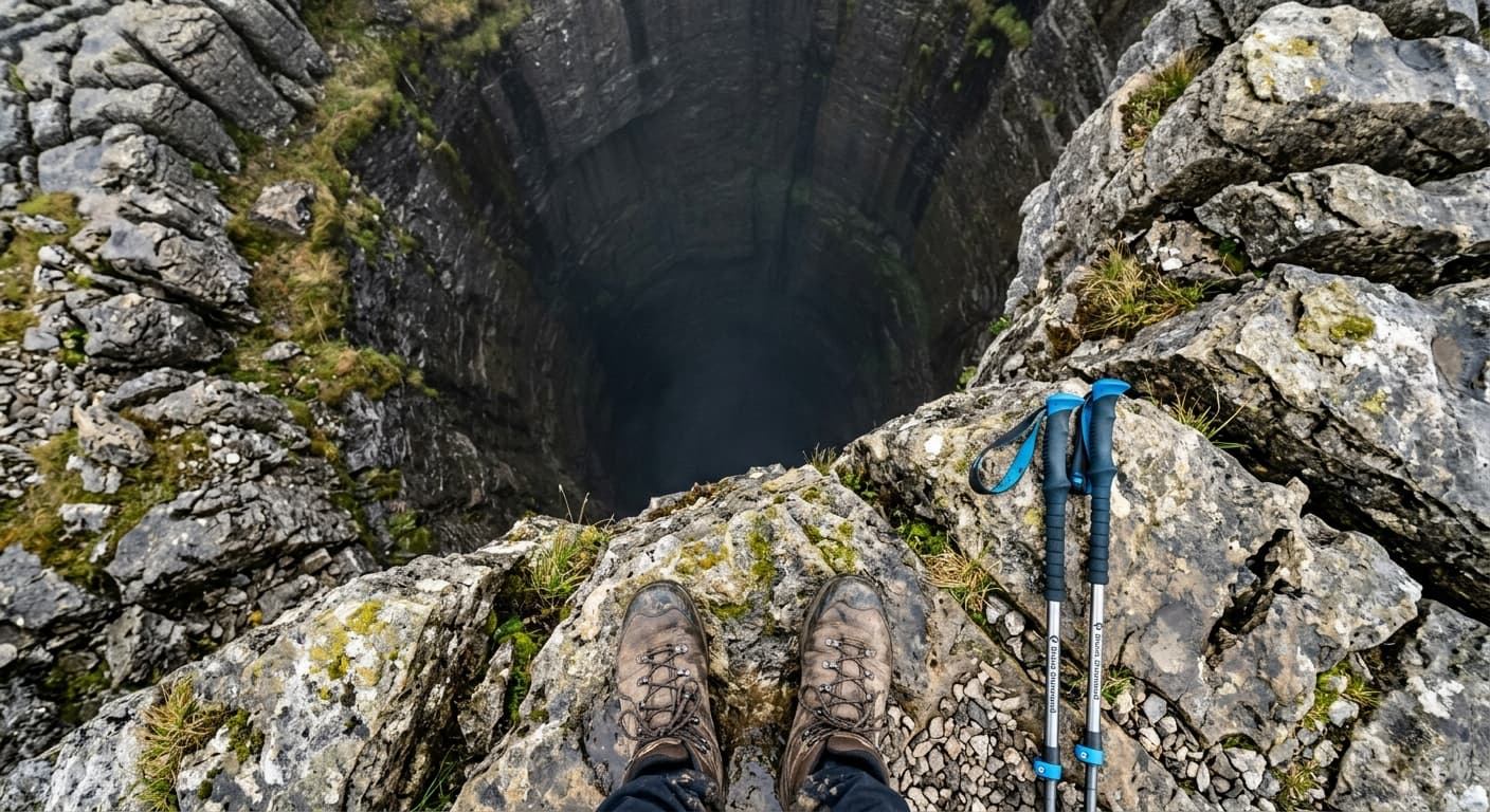
Hull Pot: Yorkshire's 18-Metre-Deep Limestone Skylight
A 91-metre limestone chasm in the Dales where a beck vanishes in summer and becomes a waterfall in winter. Here's what's actually happening.
Three Counties System: Britain's Longest Cave Network
Beneath Leck Fell lies Britain's most extensive cave system, where surveyed passages cross county lines and new connections keep changing the map.
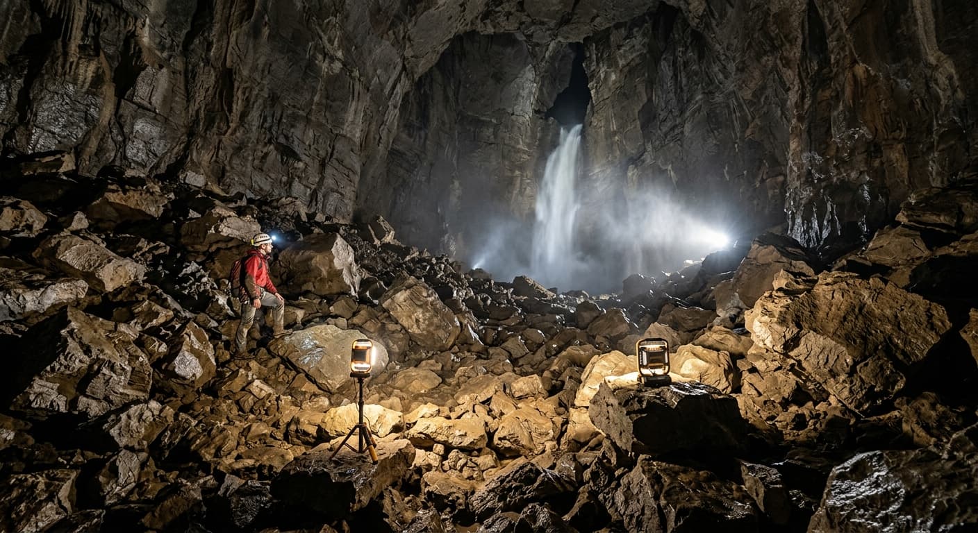
Gaping Gill: Yorkshire's 100m Underground Waterfall
A stream drops 100 metres into a cave chamber in the Yorkshire Dales. Twice a year, caving clubs winch visitors down. Not one for the faint-hearted.
Hiking Routes in Yorkshire Dales & Moors
Our Yorkshire hiking route guides, with practical route details and a downloadable GPX file for each walk.
3 guides
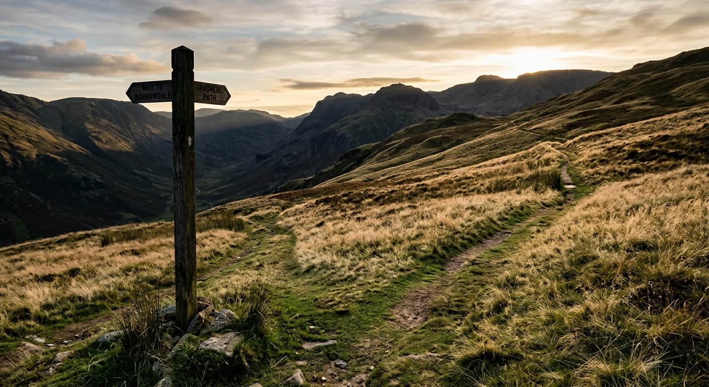
Ingleborough from Clapham via Trow Gill
Follow this 14.9 km GPX out-and-back from Clapham to Ingleborough via Ingleborough Cave, Trow Gill, Gaping Gill and Little Ingleborough. It gains 666 m and has a 4h 06m walking estimate, with serious navigation and pothole hazards clearly explained.
Roseberry Topping from Newton-under-Roseberry
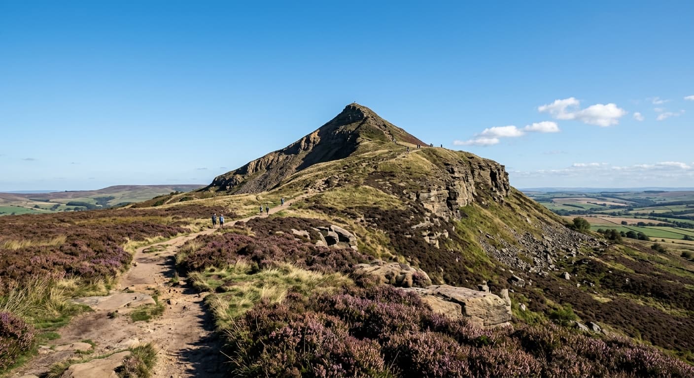
A short, steep 2.4 km out-and-back from Newton-under-Roseberry to the distinctive 320 m summit, gaining 189 m on the stepped western path. Expect woodland, open hillside and far-reaching Cleveland views—not a technical scramble.
Yorkshire Three Peaks from Horton-in-Ribblesdale
A strenuous 38.6 km circuit over Pen-y-ghent, Whernside and Ingleborough, with 1,513 m of ascent. This GPX follows the classic clockwise challenge route from Horton-in-Ribblesdale.
More Yorkshire Dales & Moors Guides and Stories
2 guides
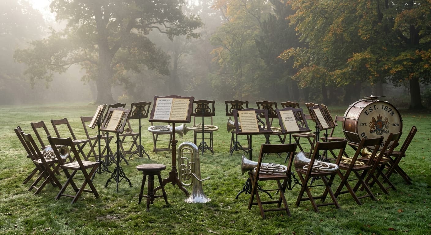
Hardraw Force: When the Highest Single-Drop Waterfall in England Sits Behind a Pub
Hardraw Force drops thirty metres in one unbroken fall near Hawes, making it England's tallest above-ground waterfall. Access requires paying at the Green Dragon Inn, and the amphitheatre behind it has hosted brass bands since Victorian times.
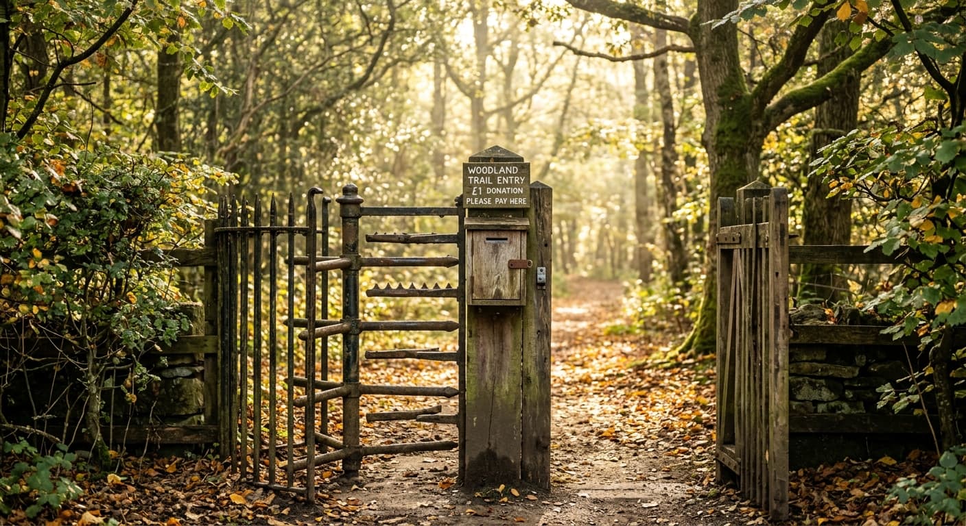
Ingleton Waterfalls Trail: Victorian Tourism Charged Entry and Still Does
The Ingleton Waterfalls Trail links Thornton Force, Pecca Falls and several smaller drops across seven kilometres of woodland path. The route opened as a paying attraction in the 1880s, and the Ingleton Scenery Company still owns the access rights.
Continue exploring