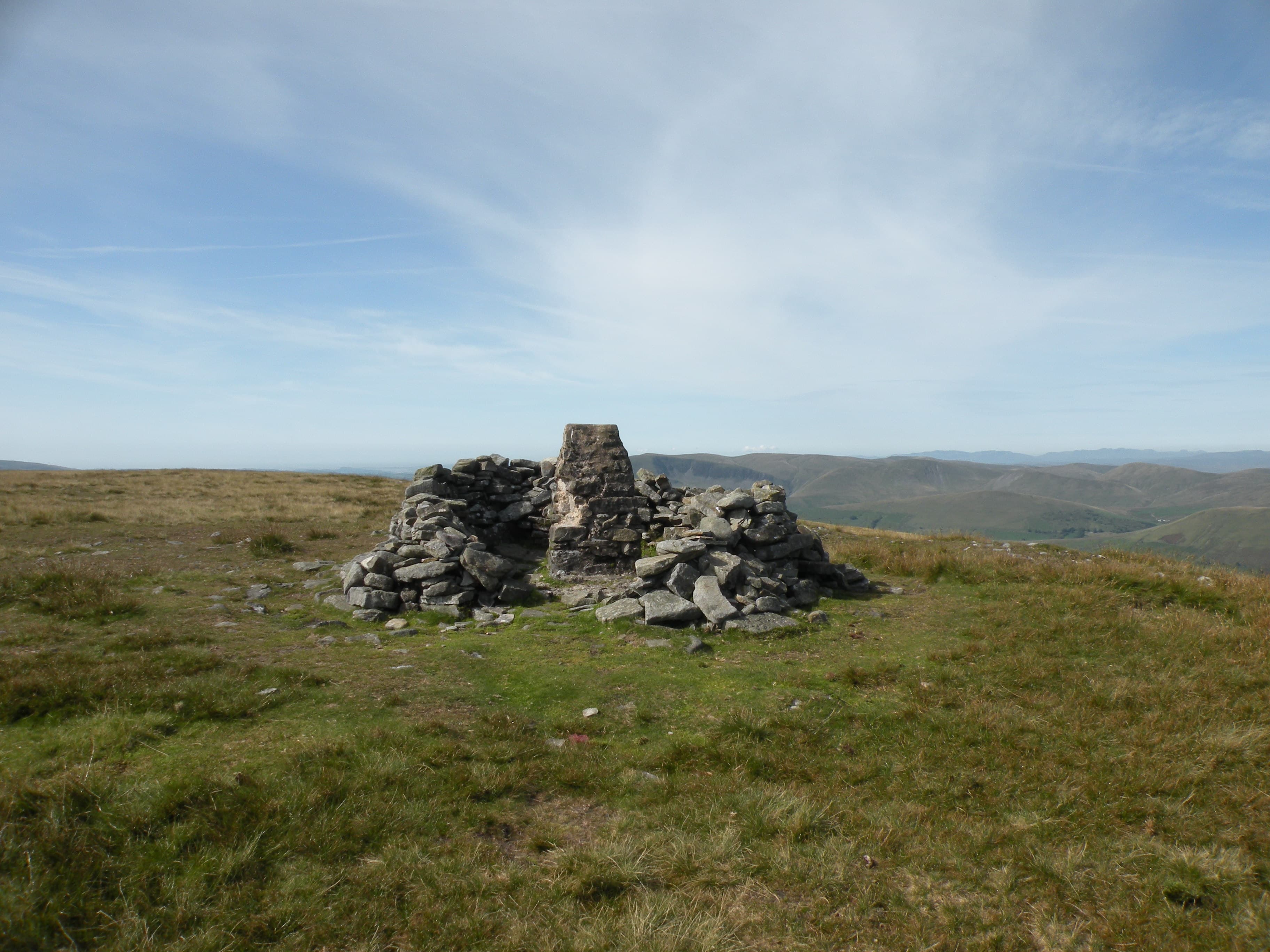
The Three Peaks
39km classic
Whernside, Ingleborough and Pen-y-ghent linked in a single day — one of Britain’s great walking challenges, with approximately 1,600m of ascent.
Region guide
“The fields glittering under the first pale sunshine and the wisps of mist still hanging on the high tops.”
— James Herriot, pen name of Yorkshire vet and author Alf Wight
Highest Peak
Whernside — 736mLongest Cave System
Three Counties System (89km of passages)Largest Underground Waterfall
Gaping GillHighest Pub
Tan Hill Inn - 528m above sea levelGreat Limestone Cliff
Malham Cove - 70m-high Ice Age WaterfallHeather Moorland
Over 44,000 hectaresAbout the region
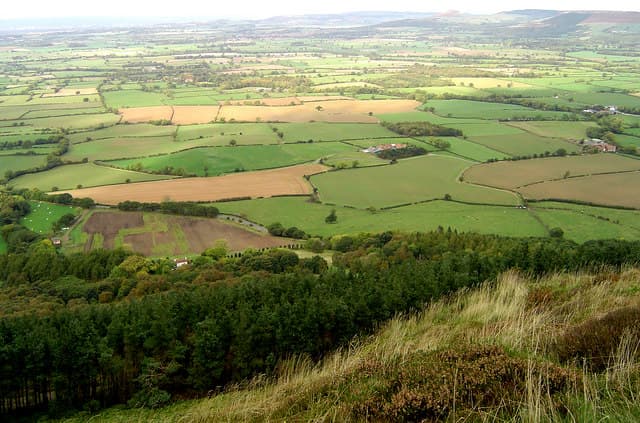
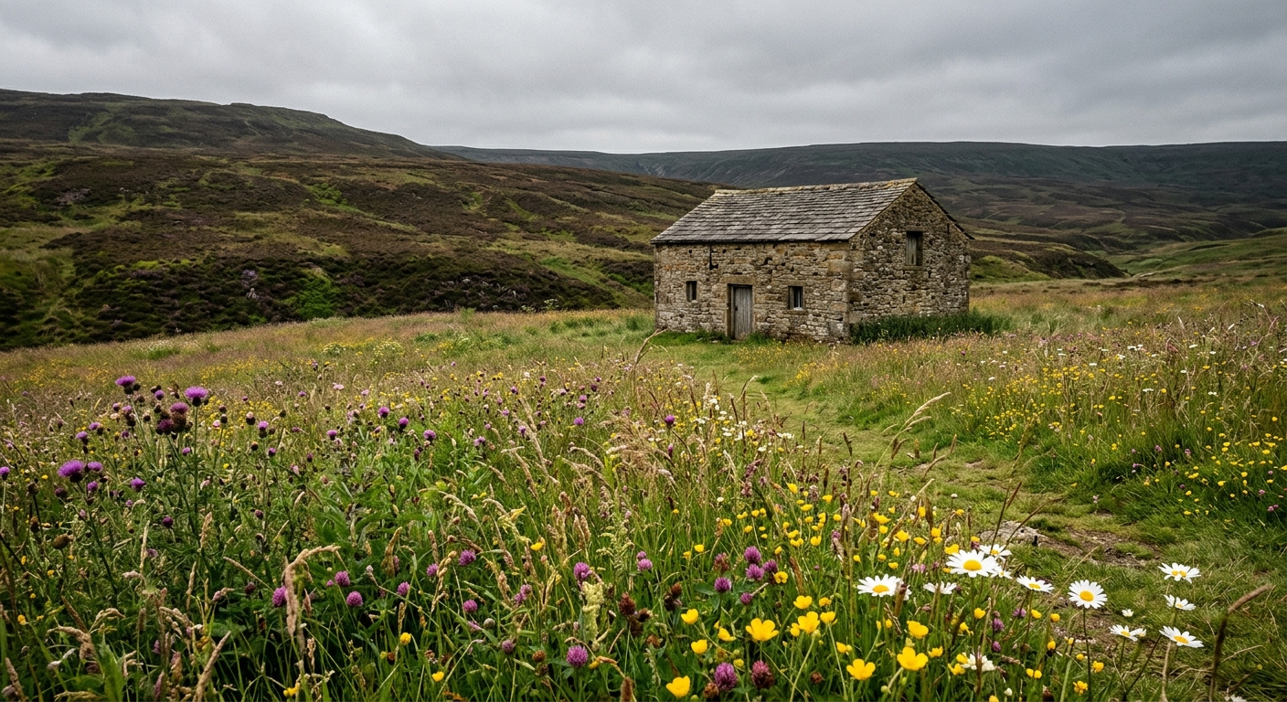
Yorkshire’s two national parks offer very different versions of the north. The Yorkshire Dales are built from limestone valleys, high grassy fells and moorland ridges, divided by thousands of miles of dry-stone walls. Rivers vanish underground, waterfalls emerge from hidden passages and great scars of exposed rock reveal what lies beneath the fields.
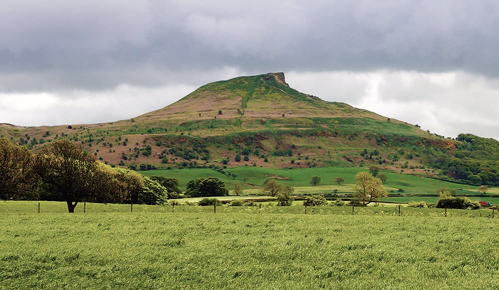
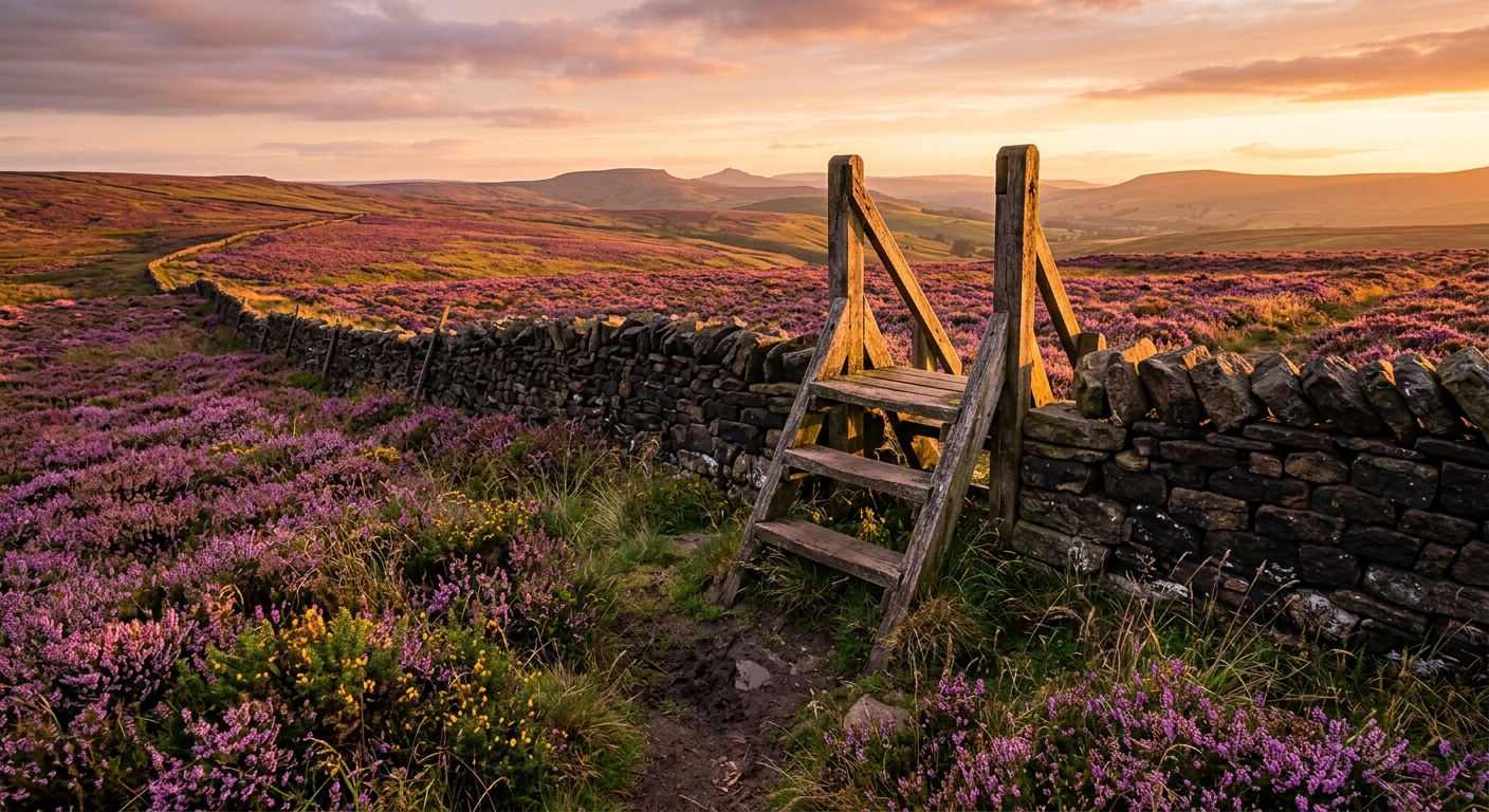
To the east, the North York Moors open into broad sweeps of heather, ancient trackways and quiet valleys. The land eventually meets the North Sea along a coast of high cliffs, fishing villages and paths where the next headland always appears slightly farther away than expected.
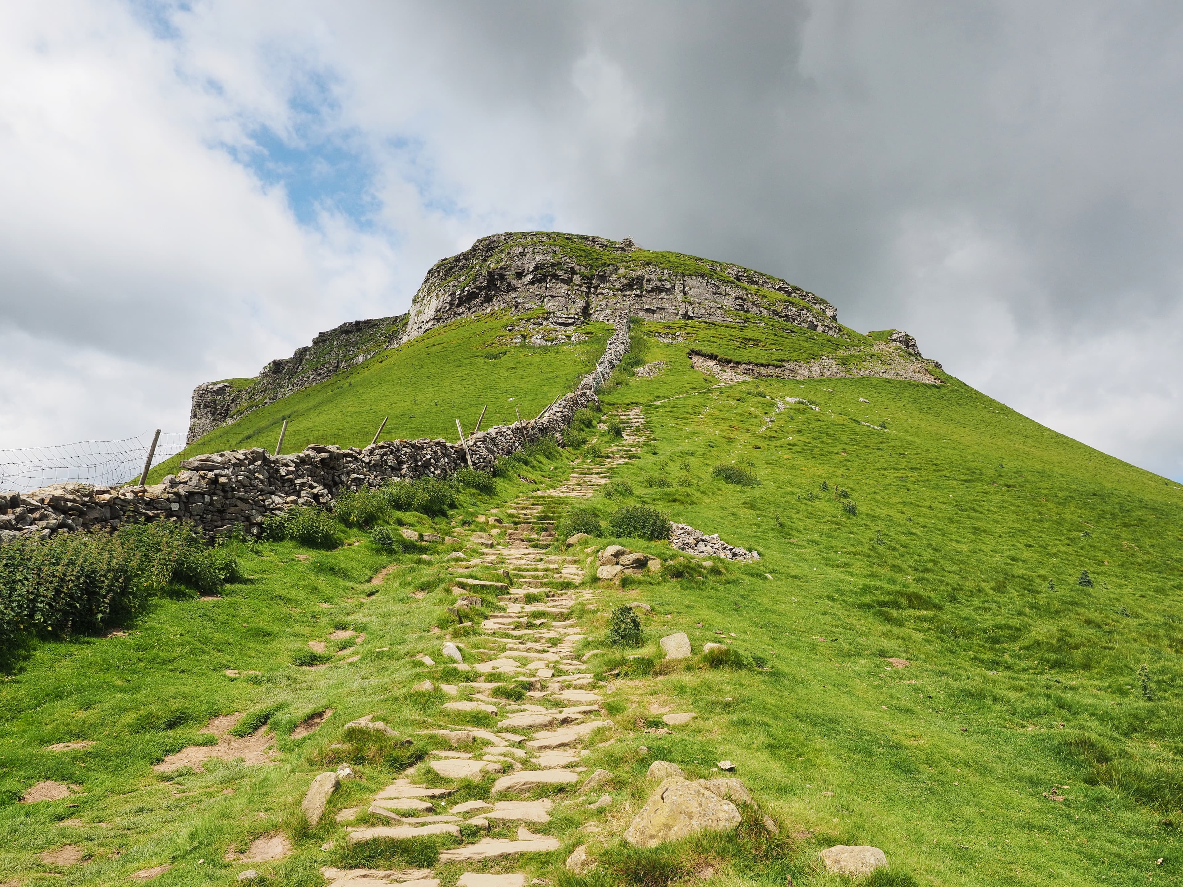
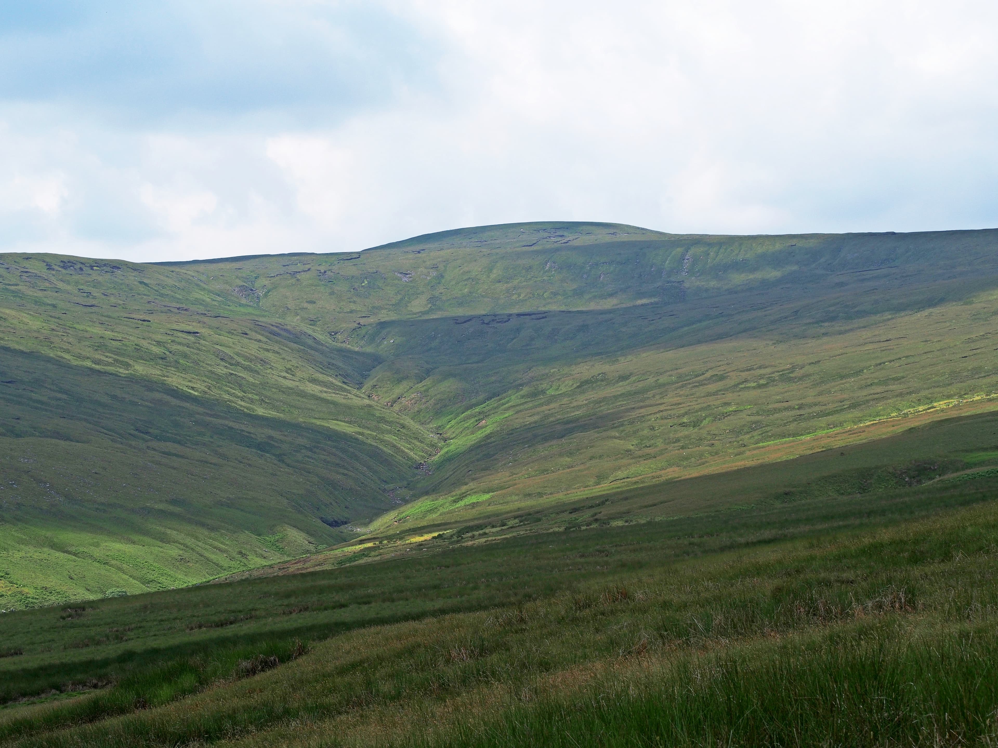
The walking is equally varied. Whernside, Ingleborough and Pen-y-ghent form the celebrated Yorkshire Three Peaks, while Swaledale, Wharfedale and Wensleydale offer gentler routes between barns, meadows and old mining remains. Across the moors, long trails follow gritstone ridges before descending through wooded valleys towards Whitby and Robin Hood’s Bay.
These are working landscapes rather than untouched wilderness. Generations of farmers, quarry workers, miners and drovers have shaped their paths and boundaries. Explore beyond the famous viewpoints and Yorkshire becomes quieter, rougher and considerably bigger than it first appears.
Regional signature
The Three Peaks
Dales 30
The Cleveland Way
Hay meadows begin to flower and waterfalls are often running strongly. Ground-nesting birds return to the moors, so dogs should be kept under close control.
Best for: Waterfalls, wildflowers and quieter pathsLong days suit the Three Peaks and extended moorland crossings. Heather usually reaches its purple best in August, while popular villages can become busy.
Best for: Long-distance routes and moorland colourWooded dales turn gold and the busiest paths begin to quieten. Mist can settle quickly across the moors, making otherwise simple navigation considerably less simple.
Best for: Photography, woodland and ridge walksHigh fells and open moorland can be bitterly exposed. Limestone becomes slippery, peat remains wet and snow may make the higher routes much more serious.
Best for: Experienced walkers and lower-level dalesTrailTrack Favourites
Ten hills chosen by TrailTrack
Explore TrailTrack guides, collections and hiking route guides for this region.
Explore the collectionYorkshire Dales & Moors Regional LibraryThe Yorkshire Dales and Moors serve up limestone pavements, heather-clad moorland, and proper waterfalls — and this library brings together all our walking routes and guides for the region in one place. Each route comes with a downloadable GPX file so you can actually find your way round, plus the sort of practical details that prove useful when you're three miles from the car and wondering if you should have turned left at that last stile.Open the regional libraryContinue exploring
From limestone scars and hidden caves to heather moors and sea cliffs, Yorkshire has far more than one kind of wild.