Regional library
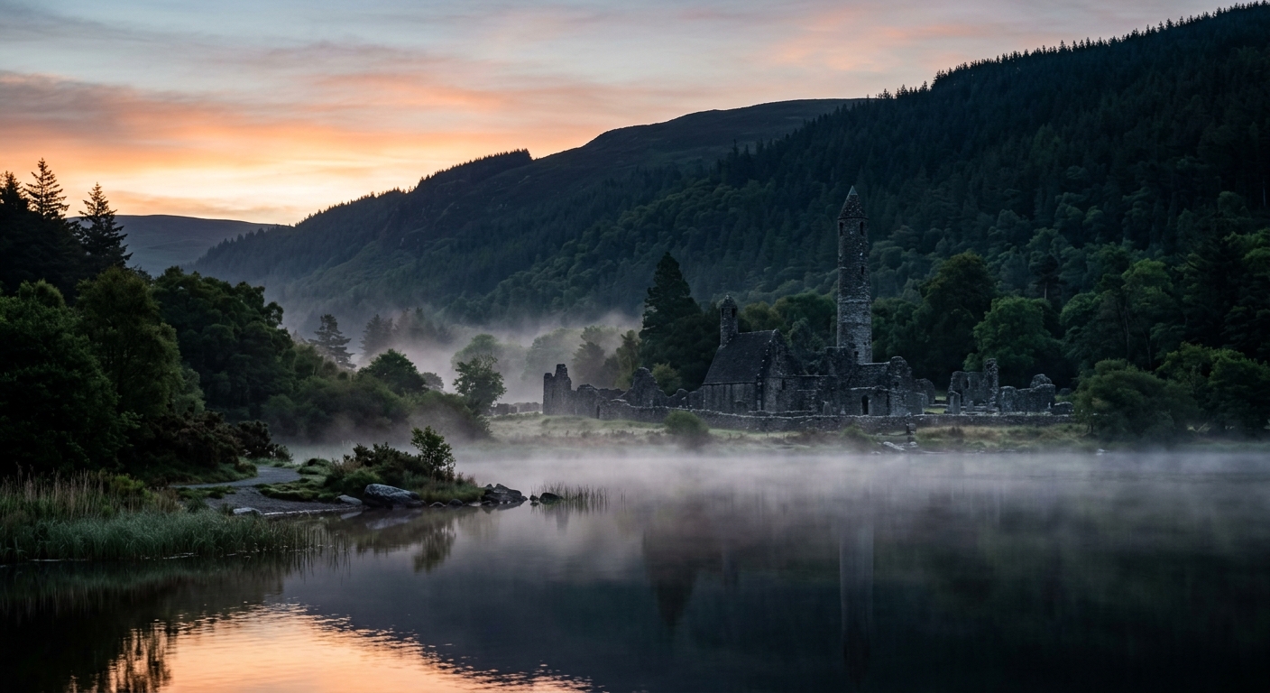
Wicklow Mountains & Midlands Library
Discover the published walking routes of the Wicklow Mountains, St Kevin’s Way and the ancient roads and glacial ridges of the Midlands, alongside guides to Irish hill lists and names.
Hiking Route Guides
2 guides
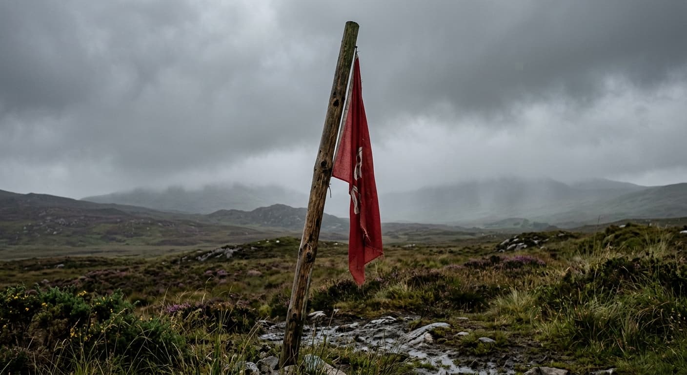
Lugnaquilla via Glen of Imaal Tourist Route
The Glen of Imaal tourist-route out-and-back via Camarahill to Lugnaquilla, with artillery-range checks essential.
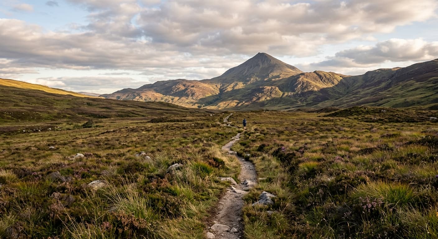
Great Sugar Loaf via Red Lane
The popular short ascent of Great Sugar Loaf from Red Lane, following open moorland and a rocky summit path.
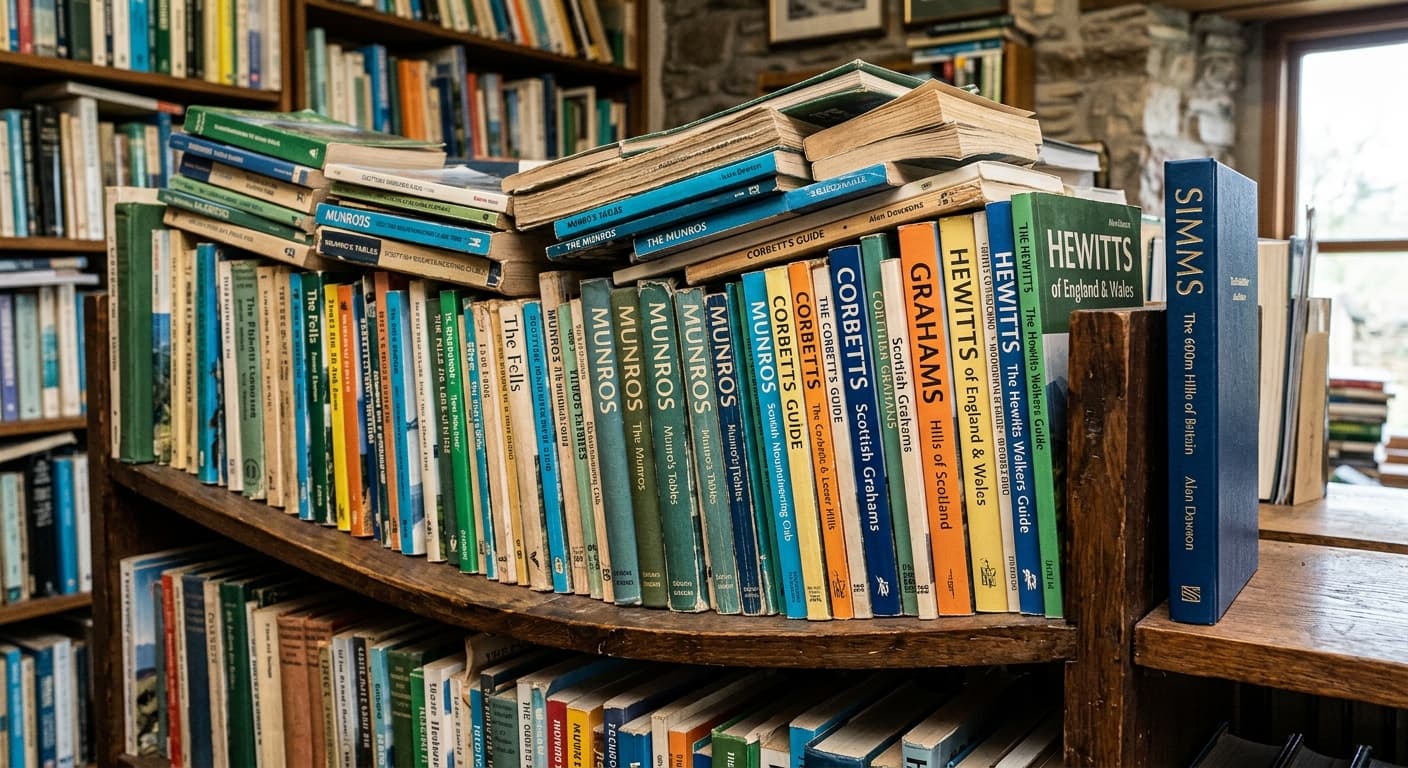
Hill Lists and People

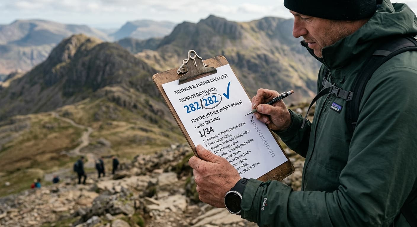
History and Heritage
3 guides
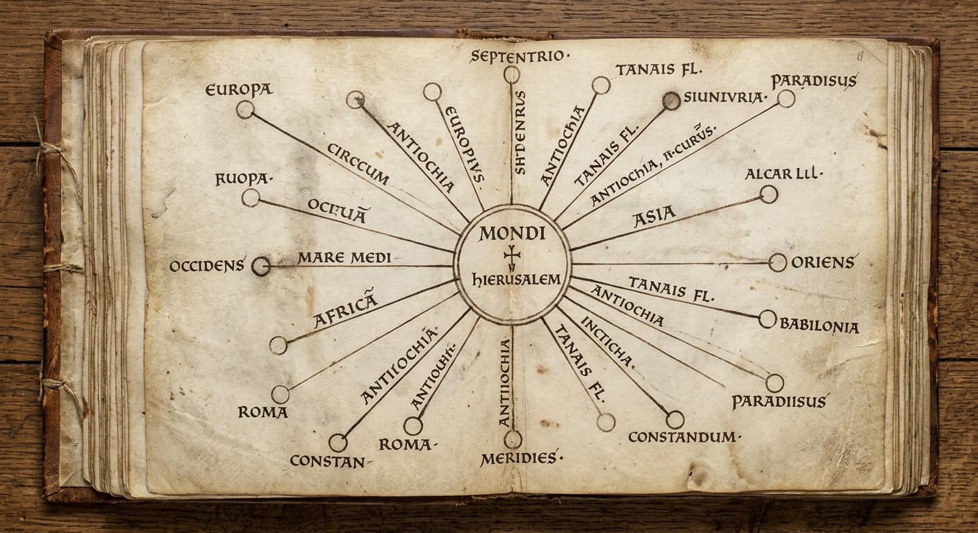
Slí Mhór: Ireland's Five Ancient Roads from Tara
Medieval texts mention five roads from Tara. Some traces survive, but the full routes are guesswork. Here's what we actually know.
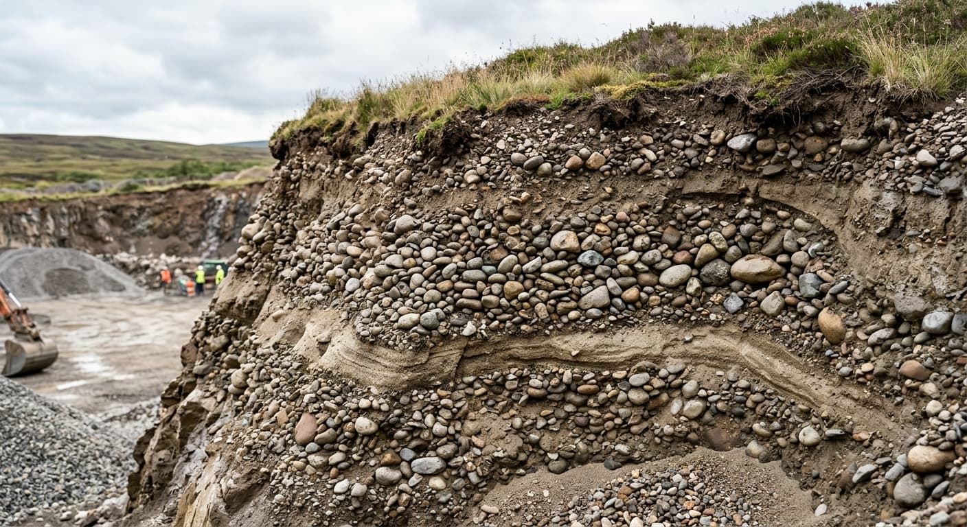
Esker Riada: The Glacial Ridge That Became Ireland's Dry Route West
The Esker Riada is a glacial ridge that provided an east-west route through wetlands for millennia, with settlement evidence scattered along its length. Claims about Bronze Age toll stations, defended checkpoints, or lidar-revealed fortifications go beyond what archaeology supports, but the ridge itself remains a genuine monument to Ireland's need for solid ground.
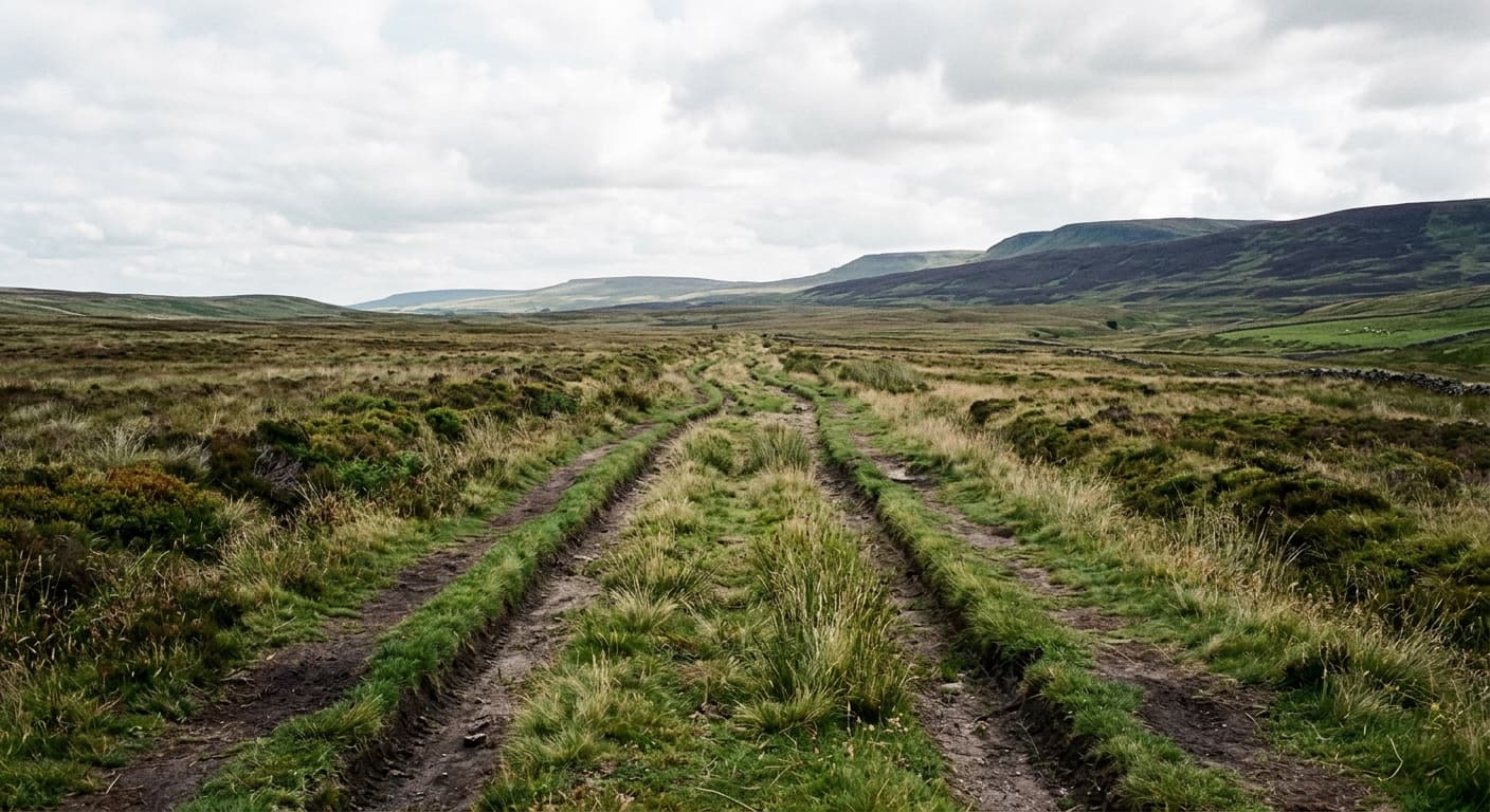
St Kevin's Way: A 30-Kilometre Route That Includes Old Paving, Not Vertical Drama
St Kevin's Way runs approximately 30 kilometres from Hollywood or Valleymount to Glendalough, incorporating old trackways and sections of paving. Claims of rock staircases carved in exactly three vertical places aren't supported, but the route still shows where pilgrims chose effort over ease—even if the steepest sections were never quite as theatrical as the stories suggest.
Landscape and Place Names
2 guides
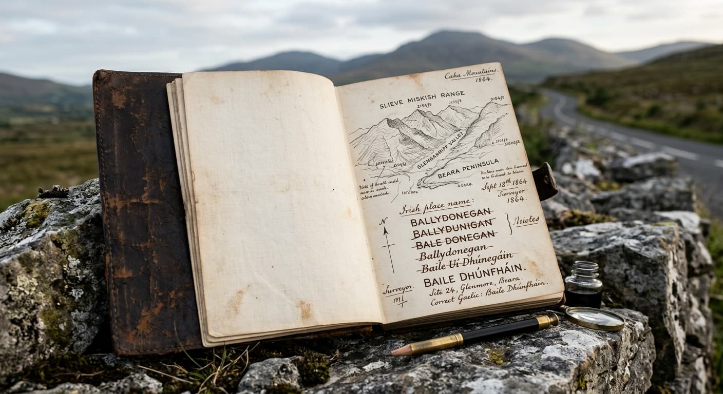
Slieve, Sliabh, and Sleeve: When One Mountain Word Has Three Spellings
Slieve means 'mountain' in Irish, but centuries of Anglicisation turned sliabh into slieve, sleeve, and occasionally slee, depending on which mapmaker showed up first. The pronunciation stayed the same—the spelling just gave up.
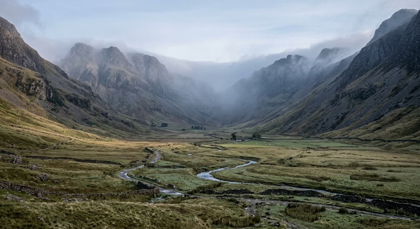
How Glaciers Carved Britain’s Valleys
Moving ice widened and deepened existing river valleys, grinding the floor and sides into the broad U-shape seen across Britain’s uplands. The article will explain corries, hanging valleys and the marks glaciers left on exposed rock.
Continue exploring