The Wicklow Way
Ireland’s pioneering trail
J. B. Malone’s idea became the Republic’s first National Waymarked Trail, linking Dublin with the Wicklow Mountains, Glendalough and the rolling countryside farther south.
Region guide
“A journey comparable to that along the celebrated Pennine Way, but I would say more varied than its north British counterpart.”
— J. B. Malone, Irish hillwalker and outdoor writer who proposed the Wicklow Way in 1966 and is regarded as the father of modern Irish hillwalking
Highest Mountain
Lugnaquilla — 925mWicklow Mountains National Park
Almost 23,000 HectaresWicklow Way
131kmHighest Slieve Bloom Summit
Arderin — 527mSlieve Bloom Way
70.5kmGrand Canal Way
117kmAbout the region
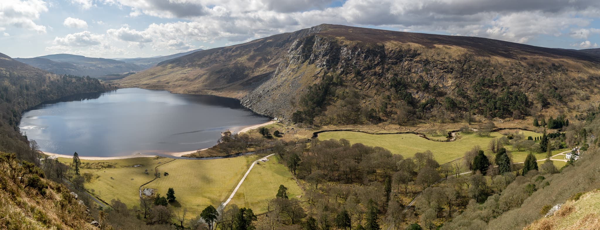
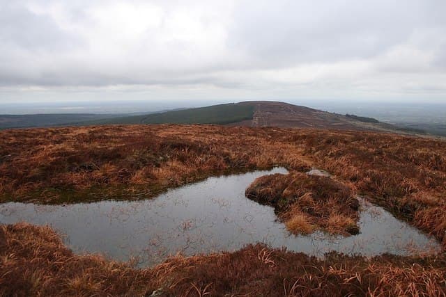
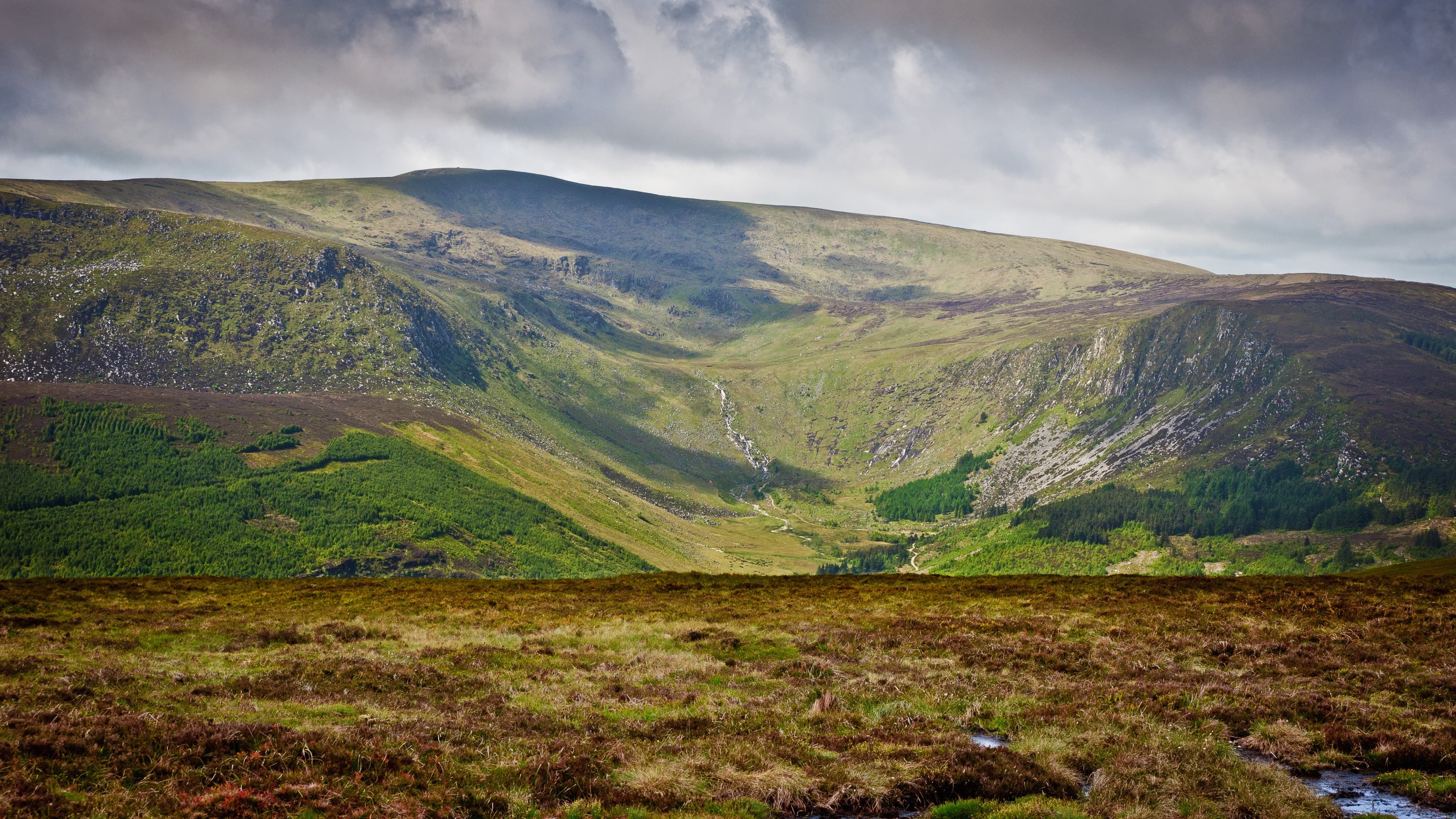
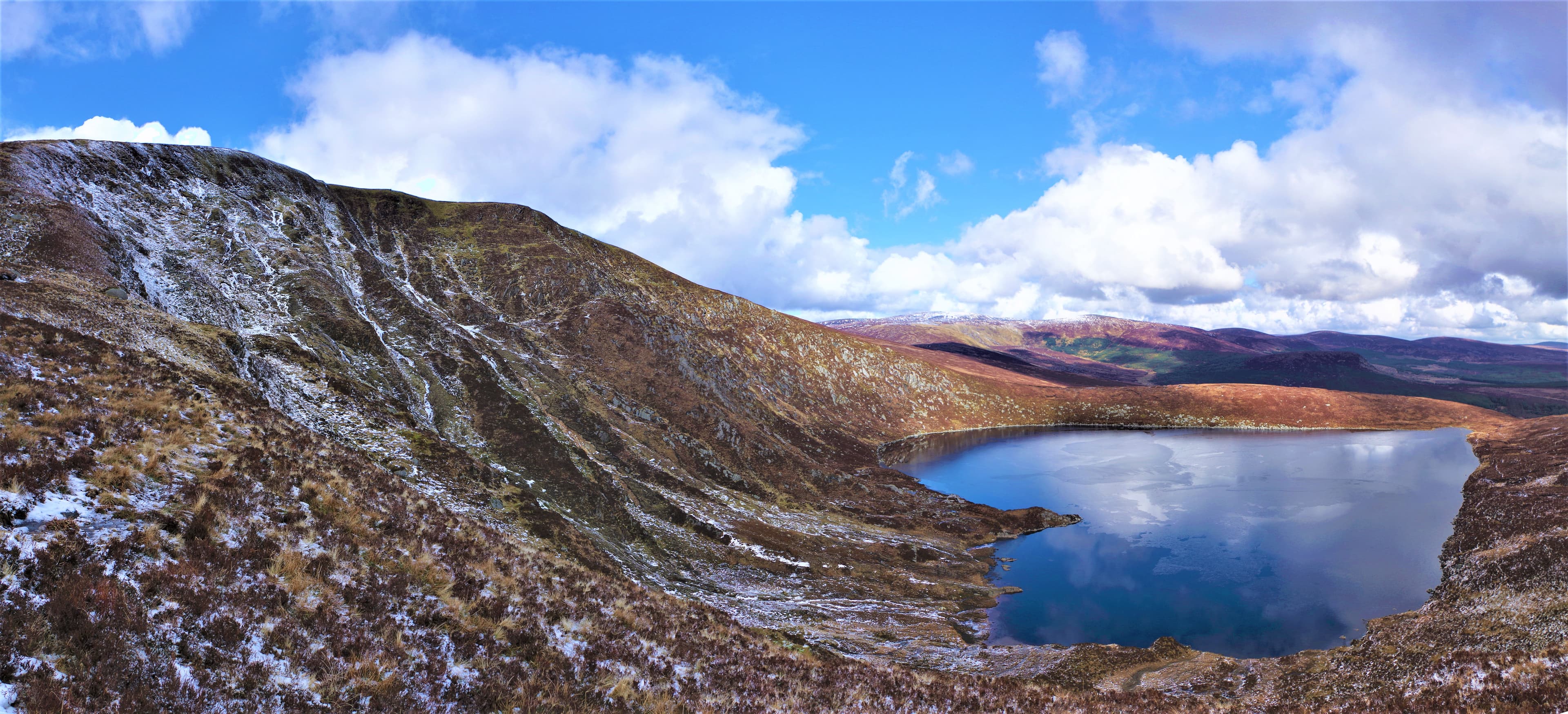
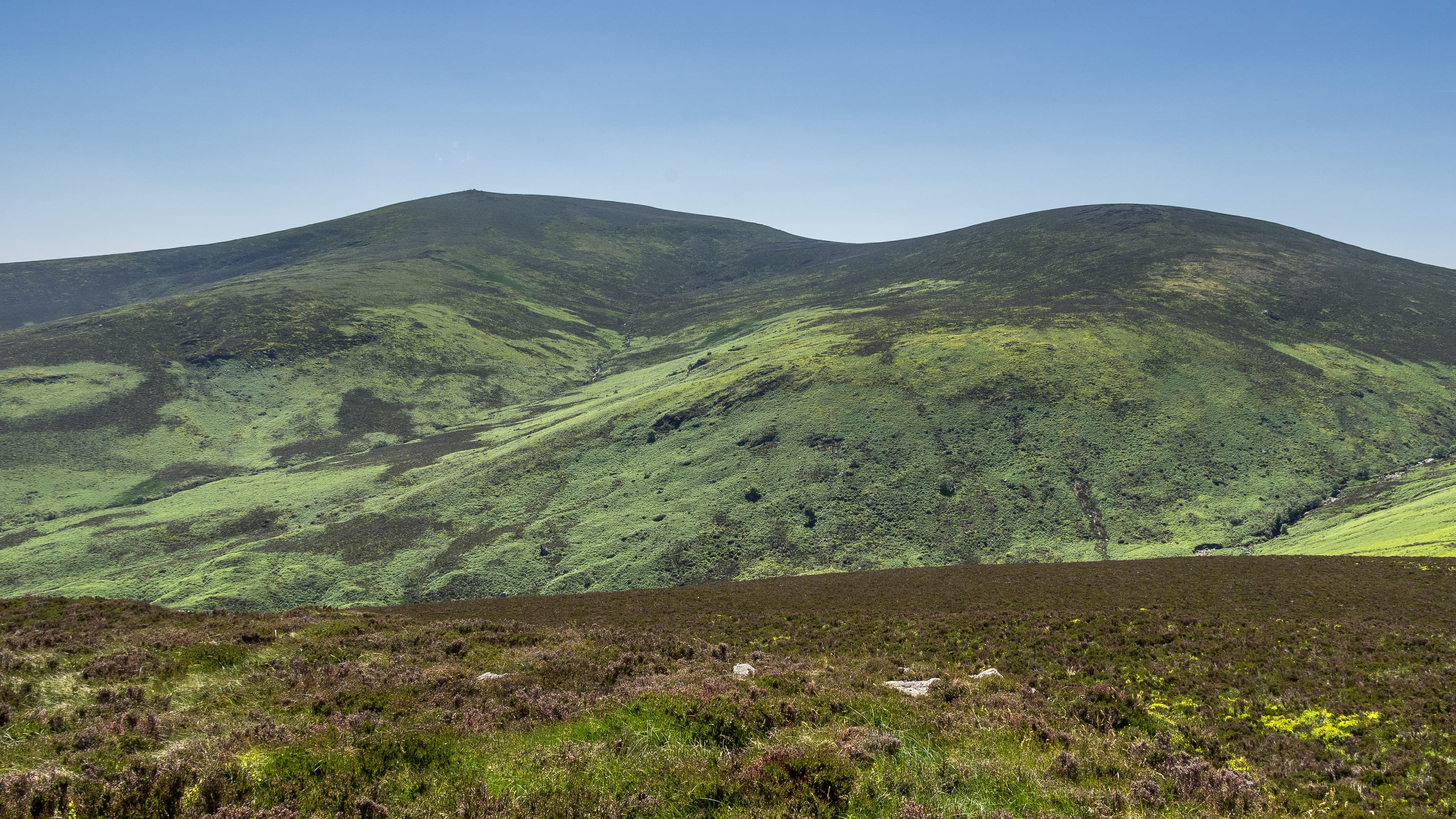
The Wicklow Mountains form the largest continuous area of high ground in Ireland, rising immediately south of Dublin through granite summits, peat-covered plateaux and deeply carved glacial valleys. Lugnaquilla dominates the southern range, while Mullaghcleevaun, Tonelagee and Djouce provide long days across open mountain country.
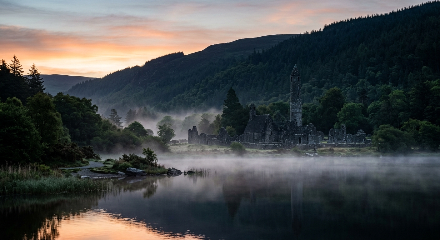
Glendalough is the region’s best-known walking centre. Trails climb above its two lakes through woodland, old mining ground and the steep-sided valley surrounding the early Christian monastic settlement. Beyond the busiest paths, Glenmalure, Glenmacnass and the central Wicklow plateau feel considerably more remote.
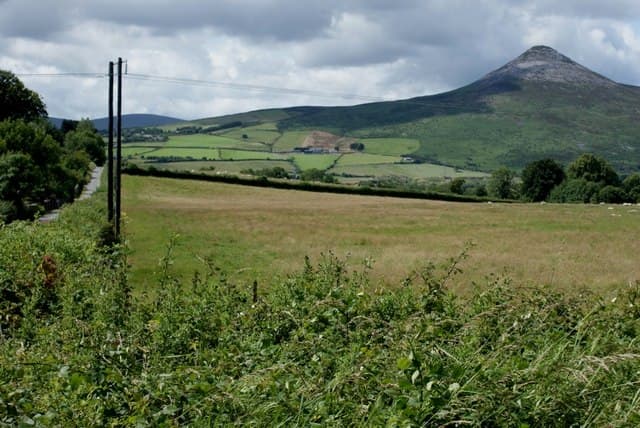
The Wicklow Way crosses the range on its 131-kilometre journey from Dublin to Clonegal. Created through the persistence of J. B. Malone, it became the Republic of Ireland’s first National Waymarked Trail and established the model followed by dozens of later routes.
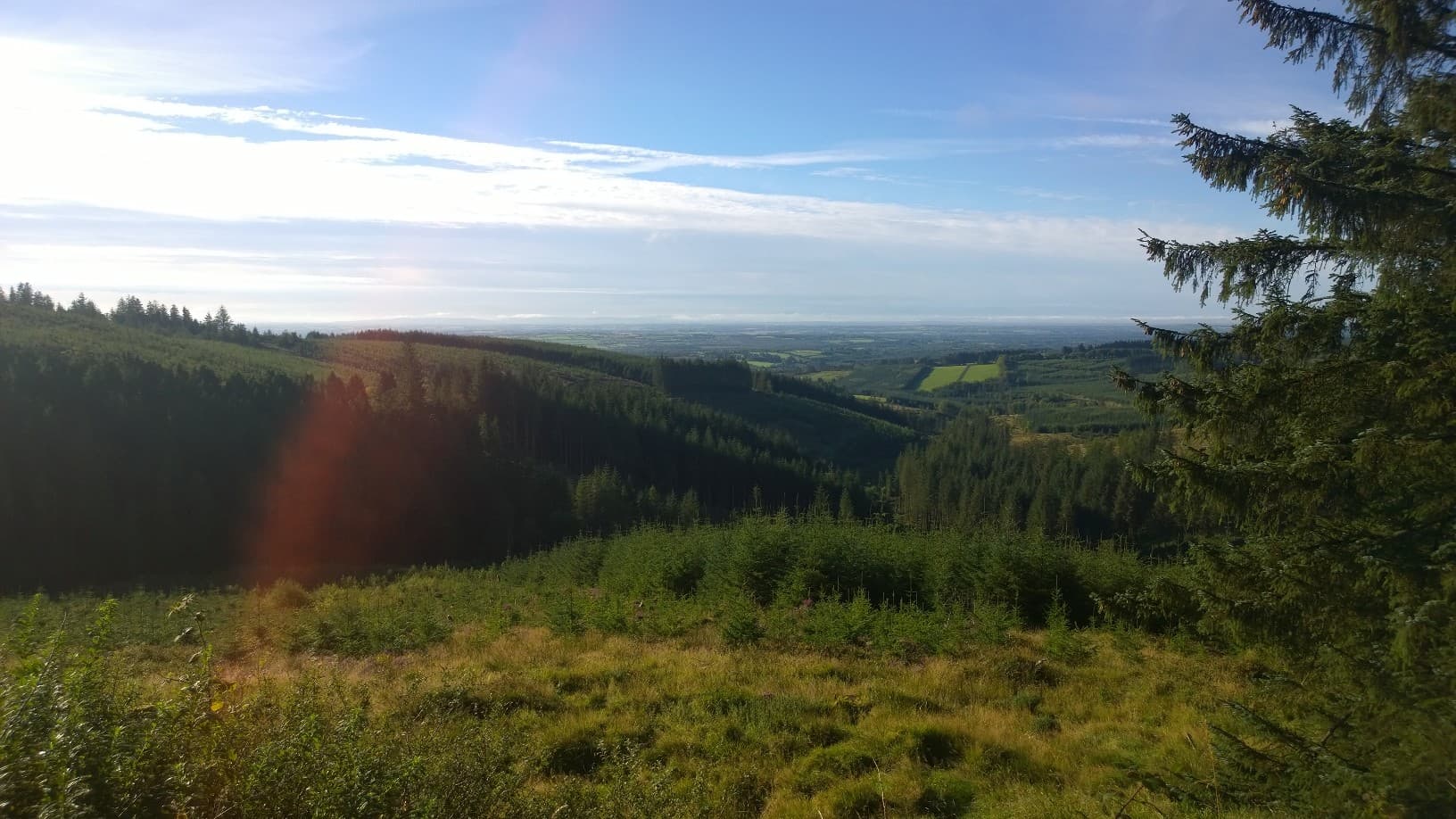
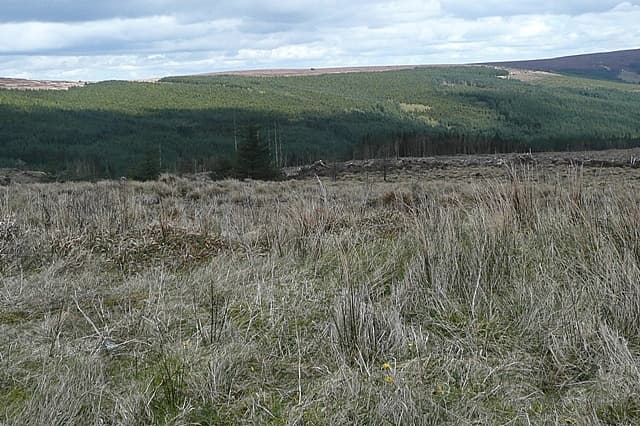
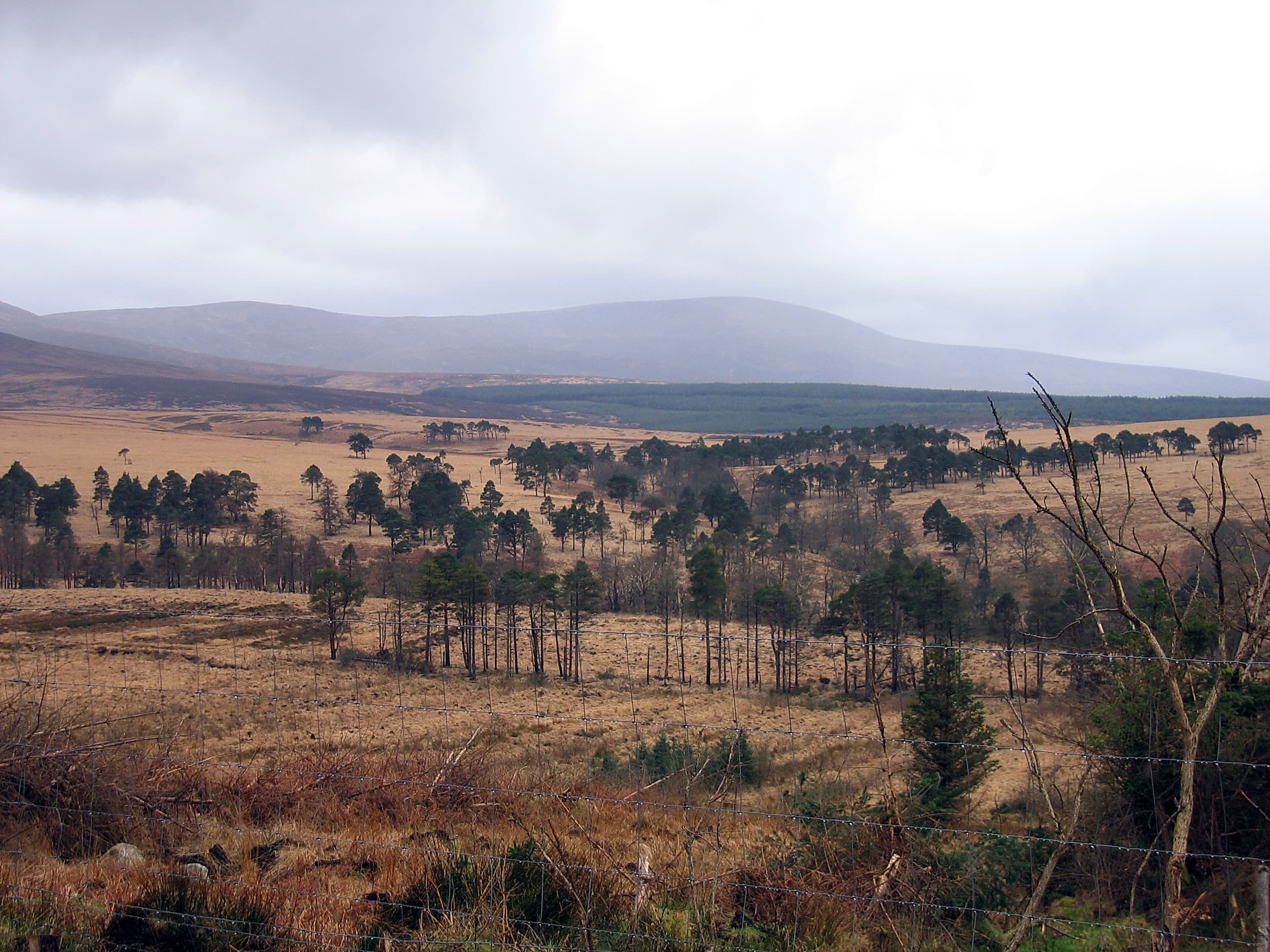
Westward, the landscape settles into the Central Lowlands before rising again in the Slieve Bloom Mountains. Arderin, Stillbrook Hill and Wolftrap Mountain are modest in height but surrounded by quiet forest, blanket bog and extensive views across the Midlands. The circular Slieve Bloom Way explores the range over several days, while the Grand Canal Way offers gentler walking through Kildare and Offaly.
This is a region where serious mountain days and completely level towpaths can sit comfortably on the same itinerary.
Regional signature
The Wicklow Way
The Glacial Valleys
The Quiet Midlands
Longer days and fresh woodland growth make spring particularly rewarding. Blanket bog remains wet, and higher plateaux can still experience wintry conditions.
Best for: Glendalough, waterfalls and quieter summitsExtended daylight suits Lugnaquilla and the central Wicklow summits. Glendalough becomes busy, while the Slieve Blooms remain noticeably quieter.
Best for: Wicklow Way stages and longer mountain circuitsThe valleys and forests develop rich colour, while cooler air can bring excellent visibility. Shortening days require careful timing on longer upland routes.
Best for: Woodland colour and clear plateau viewsSnow and ice can affect the Wicklow summits, while cloud makes the broad plateaux difficult to navigate. Canal paths and lower forest trails offer gentler alternatives.
Best for: Experienced walkers and lowland trailsTrailTrack Favourites
Ten hills chosen by TrailTrack
Continue exploring
From granite plateaux and glacial valleys to quiet Midlands hills and canal towpaths, this is a region with considerably more range than its map contours initially suggest.