Hiking Route Guides(137 guides)
4 guides in North Pennines
Route Guide1 GPX download
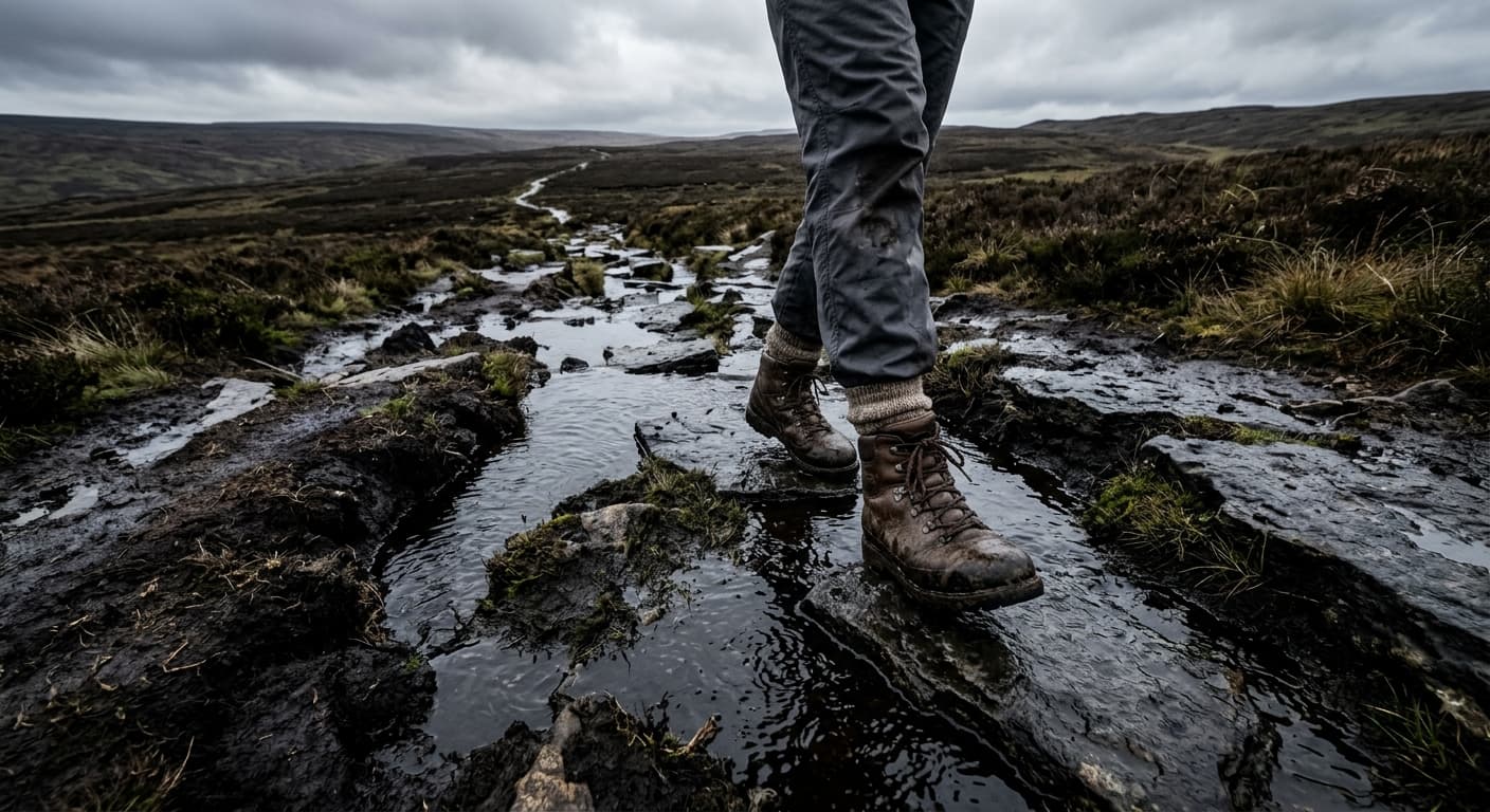
Cross Fell from Kirkland via High Cap: Route Guide
Climb Cross Fell from Kirkland by the High Cap track, crossing the exposed Pennine plateau to England’s highest summit outside the Lakes.
Route Guide1 GPX download
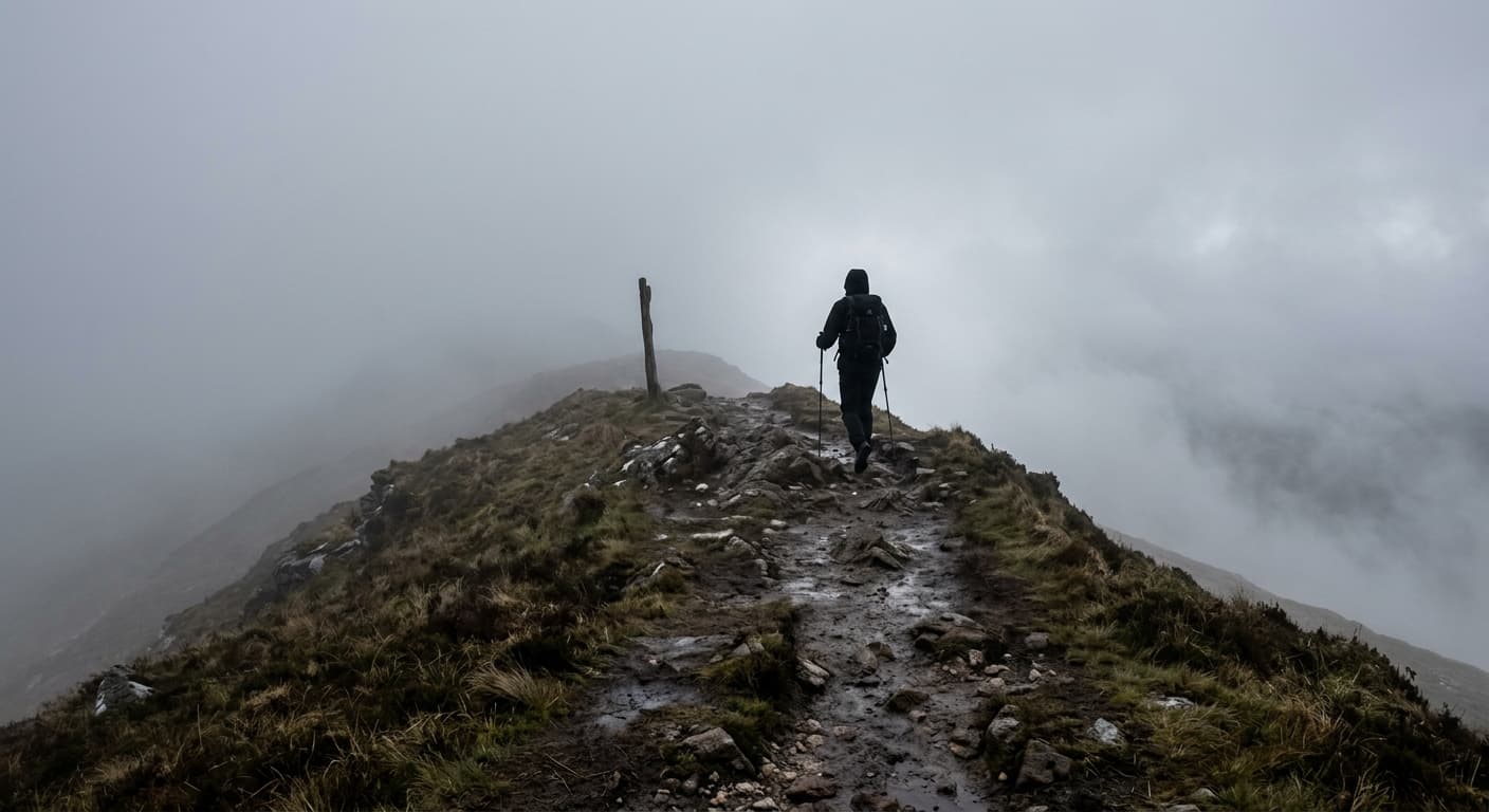
Pennine Way: Edale to Kirk Yetholm
A strenuous 412.7 km main-route GPX from Edale to Kirk Yetholm, with 9,017 m of ascent, sixteen natural stages and enough moorland to recalibrate your idea of ‘a bit damp’.
Route Guide1 GPX download
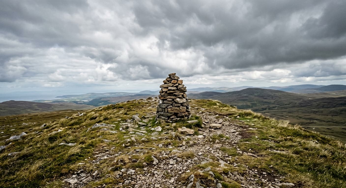
Dufton Pike via Pusgill: North Pennines Route Guide
Climb Dufton Pike from the village by Pusgill and its steep grassy south ridge on a compact North Pennines walk.
Route Guide1 GPX download
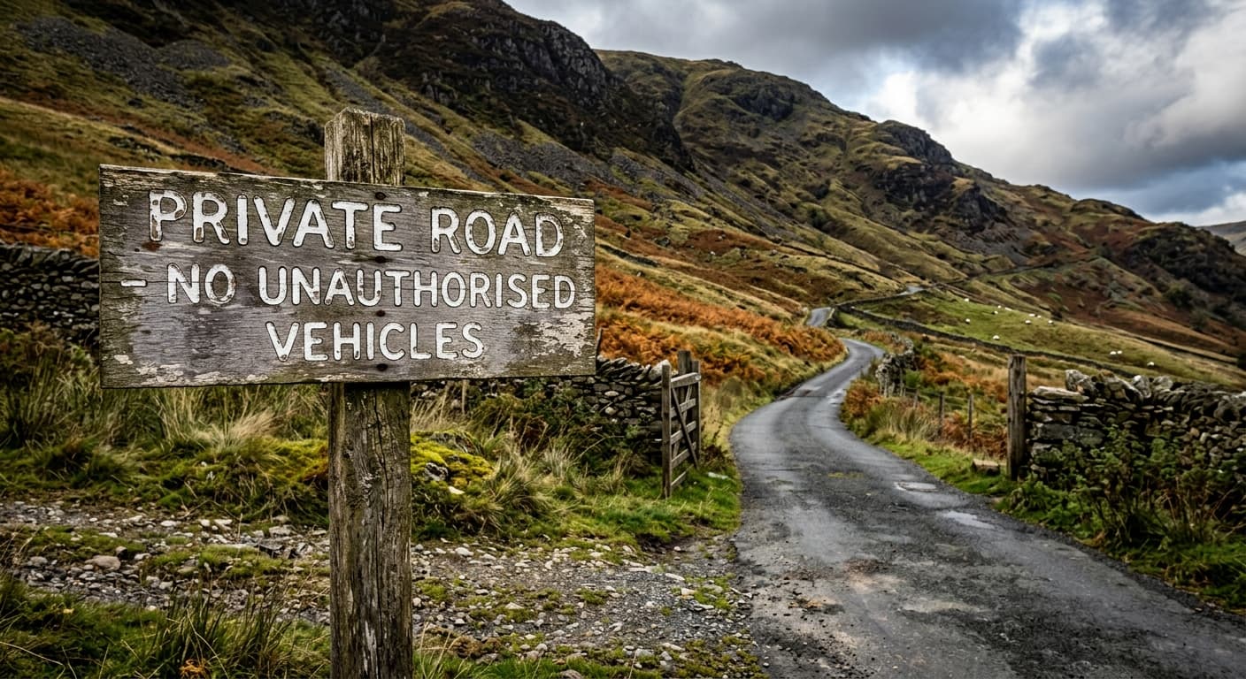
Great Dun Fell via the Radar Road from Knock: Route Guide
Walk Britain’s highest paved road from Knock to the radar dome on Great Dun Fell, returning by the same exposed Pennine route.