Lake District
Brock Crags
561M
1841FT
About Brock Crags
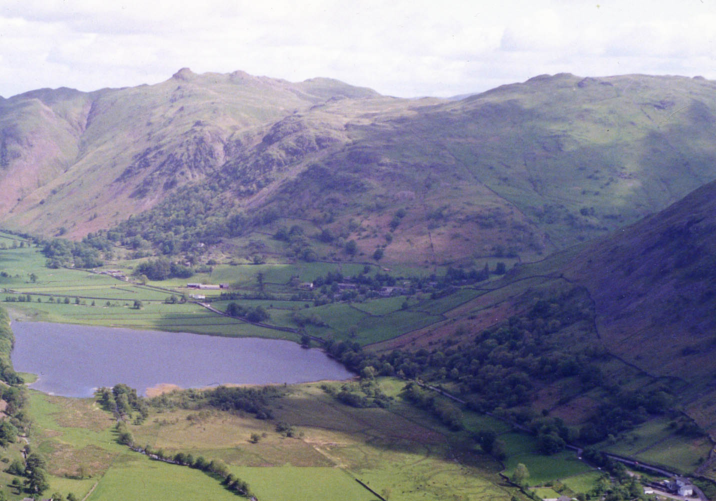
Tucked away in the quieter Far Eastern Fells, Brock Crags is a wonderfully rugged little fell. Its summit is a fascinating maze of rocky knolls and boggy hollows, offering grand views over Hayeswater without the long slog of its loftier neighbours.
Key Statistics
Rank
308th
Parent Range
Far Eastern Fells
Prominence
?
9.9m
Nearest Town
Patterdale
Geology
Borrowdale Volcanic Group
Classifications
Nearby Fells
Find It
OS Grid Reference
NY416136
Latitude
54.5149°N
Longitude
2.9026°W
Did You Know?
- •The name 'Brock' is an old Cumbrian and Northern English word for a badger, so you're literally climbing 'Badger Crags'. It's a classic bit of local dialect that gives the fell a wild, ancient feel, even if seeing the animal itself is unlikely!
- •Wainwright himself wasn't its biggest fan, describing the summit as a 'rather dismal bog'. Many modern walkers find this a bit harsh, enjoying the challenge of navigating the craggy, complex top, which is much more rewarding when the ground isn't waterlogged.
- •Finding the true summit can be a bit of a game. The area is a jumble of rocky outcrops, and the cairn doesn't mark the Ordnance Survey's highest point, so it’s a fell that encourages a good wander around to make sure you've truly bagged it.
- •It provides one of the best viewpoints for Hayeswater reservoir, making it look much more like a natural mountain tarn from this angle. You also get a fantastic profile view of the long High Street ridge, often without the crowds you'd find over there.
- •A popular approach is from Hartsop, often as part of a classic circuit including Angle Tarn Pikes. This route lets you visit the stunning Angle Tarn, famed for its picturesque setting with a rocky island and winding shoreline, making for a truly memorable day out.