10 guides
Drove Roads and Livestock: Why Some Old Tracks Are Wider Than They Need to Be
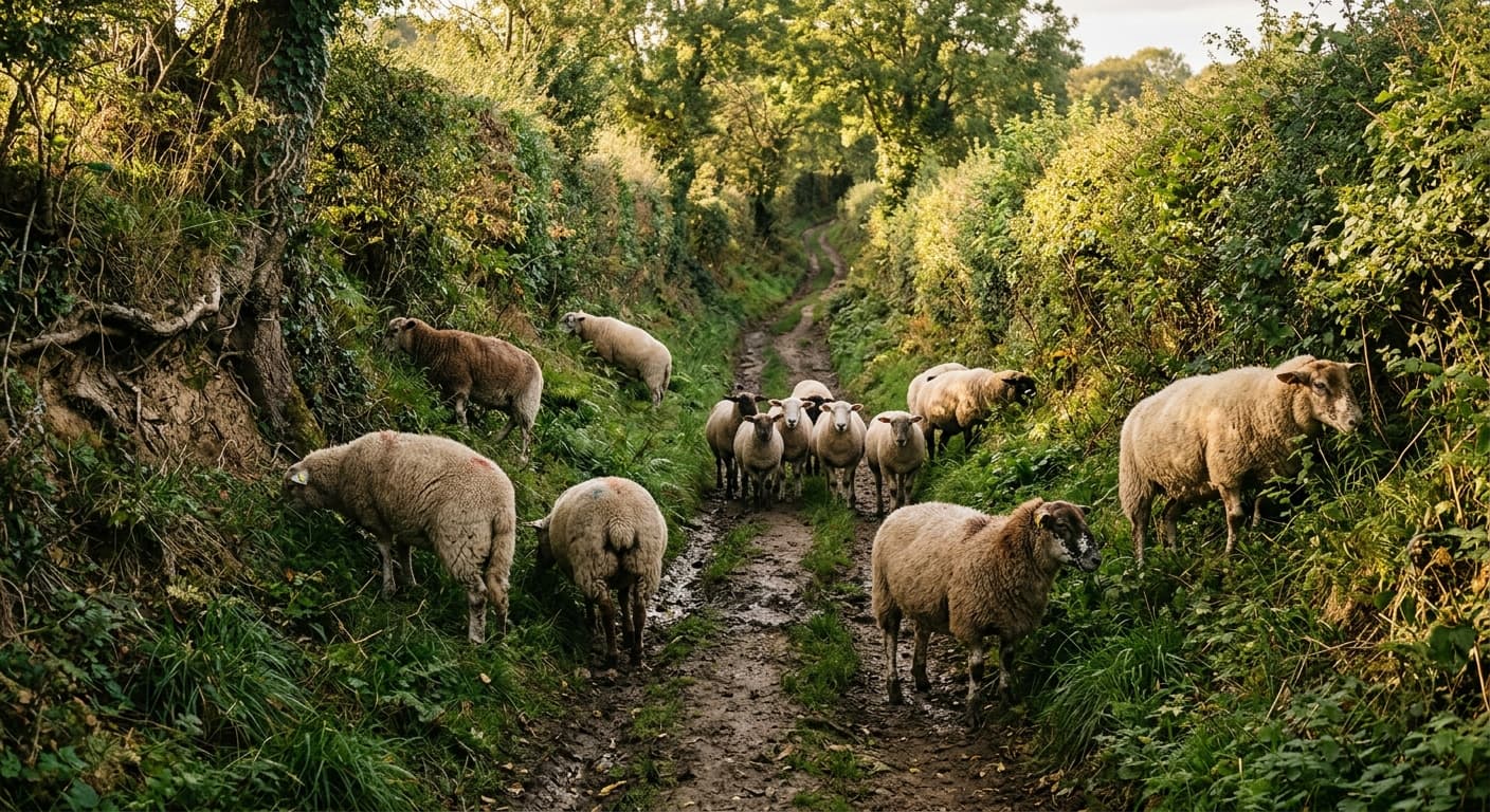
Historic drove roads carried cattle, sheep, and geese to market over long distances, and some are broad enough to let stock graze as they moved. But there was no universal fifty-foot width, no standard thousand-head herd, and plenty of variation in how drovers used the landscape.
The Gunpowder Mills That Kept Exploding: Why Lakeland Valleys Were Built for Blasts
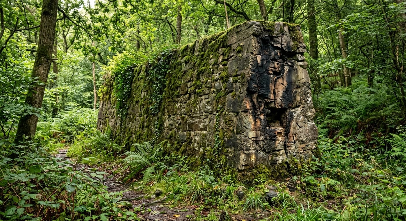
Before Cumbria was famous for walking holidays, it was famous for blowing up. From Lowwood, licensed in 1798, to later works such as Elterwater, gunpowder was made for mining, quarrying, civil engineering, sporting and eventually military use. The spacing between buildings, blast walls, water systems and surviving ruins show how the industry tried — sometimes successfully — to keep one explosion from becoming everybody’s problem.
The Boundary Stone Network: When Parishes Carved Initials Into Moorland
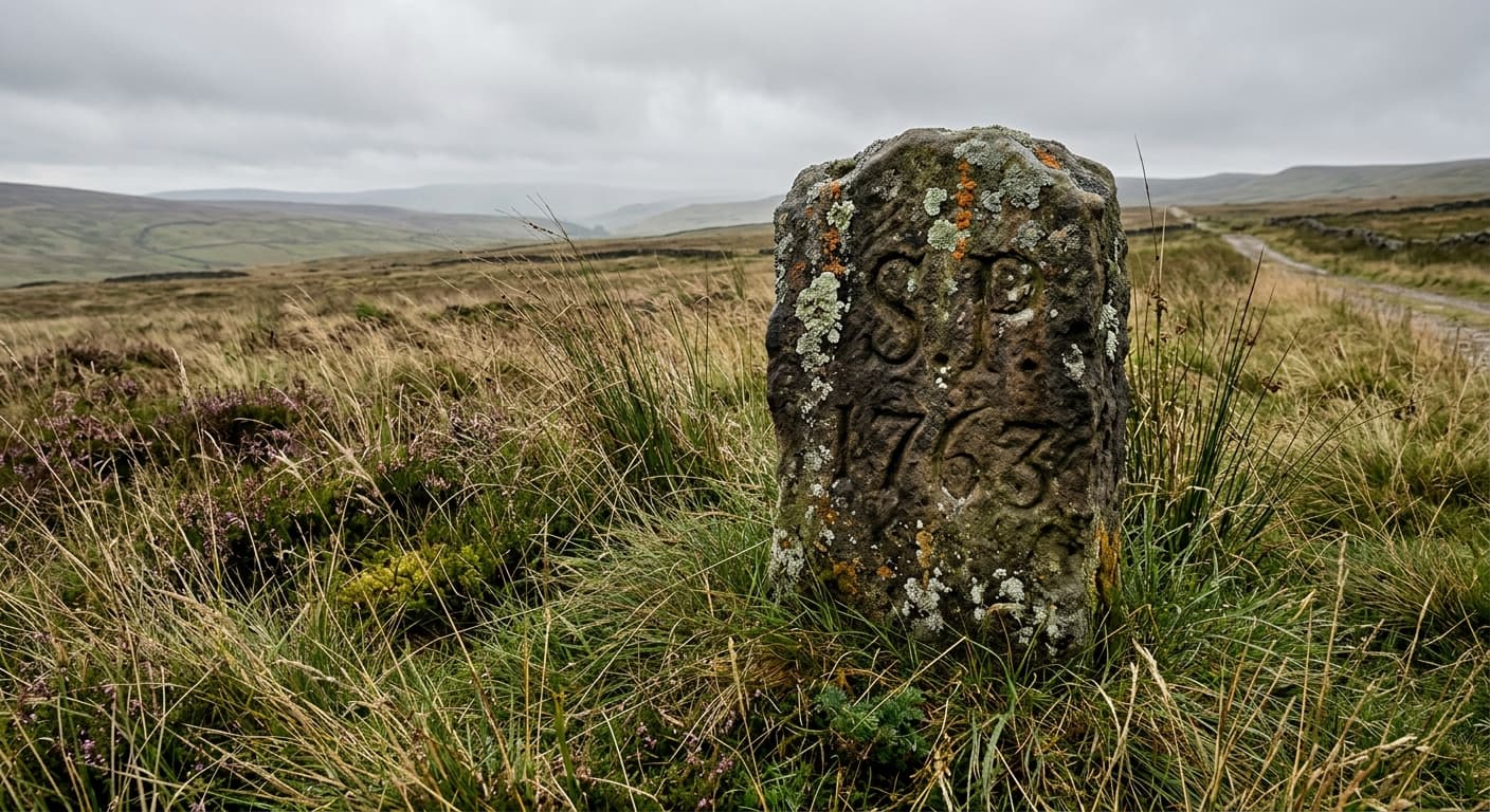
Parish boundaries on open fell were marked with carved stones every few hundred yards so people knew whose land they were grazing, and many are still there with dates from the 1700s. Some mark estate edges, some mark grazing rights, and some just say which side of the line your sheep legally belonged to.
The Dry Stone Wall Economy: When Every Field Had Its Price in Hours
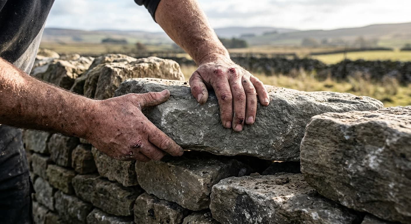
Dry stone walls were not scenery; they were costly rural infrastructure, built and rebuilt according to the stone, ground, labour available and what the boundary needed to do. Their foundations, through-stones, hearting and coping show where skill and time went — and why a wall that looks effortless is usually the result of a great deal of effort.
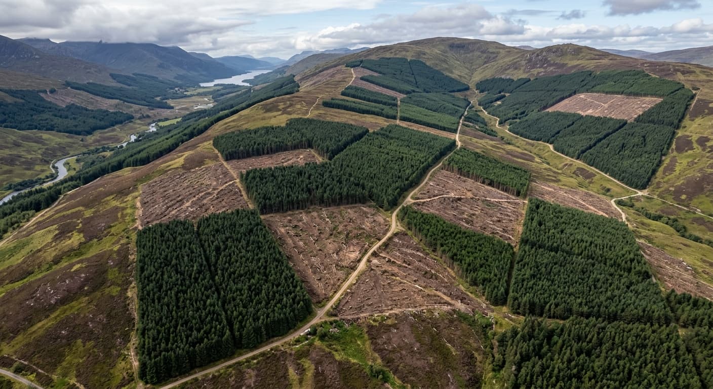
The Forestry Grid: Why British Plantations Look Like Graph Paper
Walk through a conifer plantation and you'll find yourself in something closer to an outdoor warehouse than a wood. These regimented blocks of sitka spruce were planted to solve Britain's timber shortage after two world wars, but they turned hillsides into geometric puzzles and drained the colour from valleys that once held something rather more interesting than rows of identical trees.
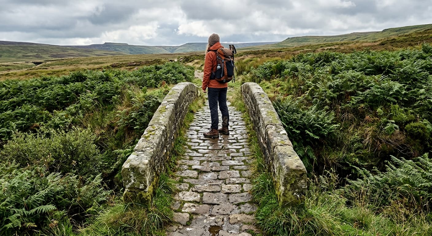
The Packhorse Bridge Problem: When Medieval Infrastructure Is Too Narrow for Anything Useful
Britain is scattered with low stone bridges built for horses carrying wool or slate, now preserved because they're rather lovely but stranded because the routes they served have long since vanished. Some still carry the occasional walker. Most just sit there looking picturesque while the actual traffic rumbles past on the A-road half a mile away.
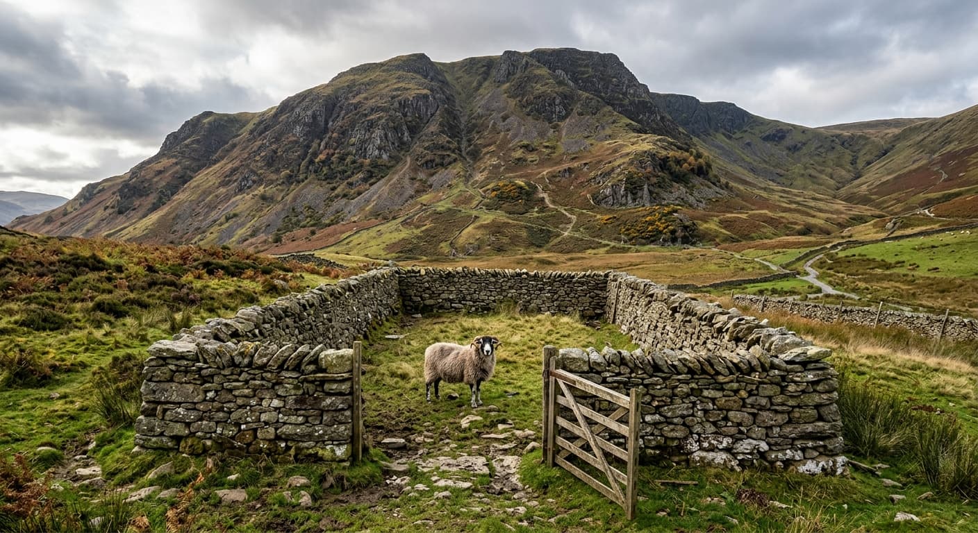
Why Sheepfolds Are Different Shapes
Sheepfolds can be circular, rectangular, irregular or divided into several pens. Their shape reflects purpose, terrain, local practice and later rebuilding — not a simple high-fell versus lowland rule.
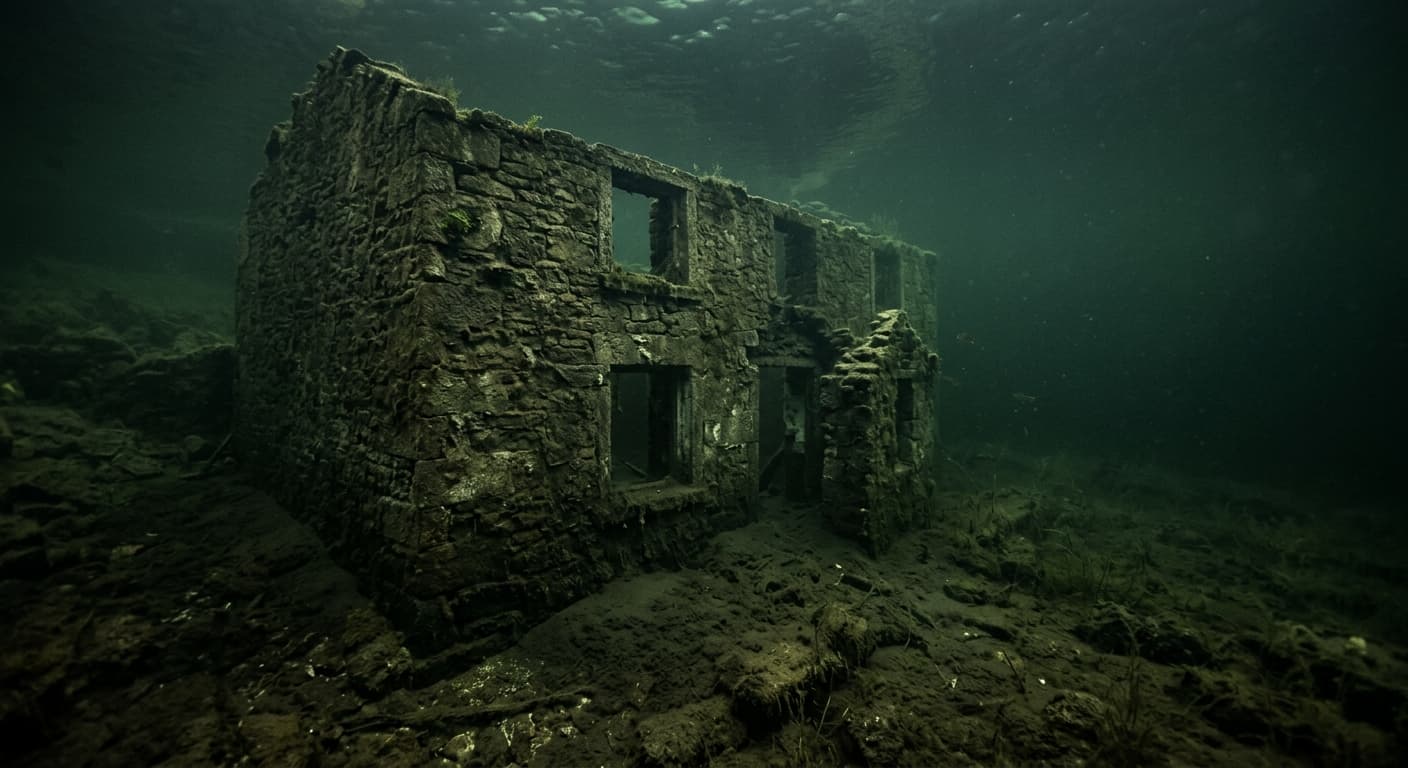
The Drowned Village Myth: What UK Reservoirs Actually Submerged
Capel Celyn, Derwent, Ashopton, Mardale and Thirlmere each lost different kinds of settlement. This guide separates documented history from spire stories and reservoir folklore.
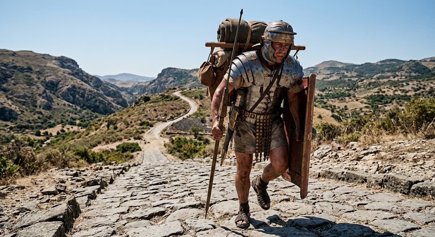
Roman Roads Were Straight-ish: How Engineers Chose Routes
Roman roads used direct surveyed sections but changed course for steep slopes, rivers and difficult ground. Their archaeology is fascinating, but a Roman-road label does not create a public right of way.
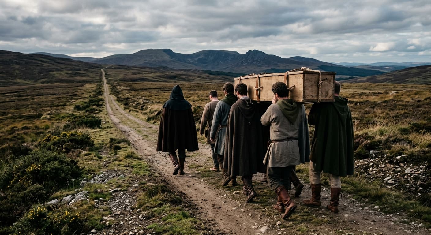
Corpse Roads and Coffin Paths: History, Folklore and Access
Corpse roads are genuine pieces of landscape history, but the stories attached to them often outrun the evidence. Here is what these routes can tell us—and what their names do not guarantee.