14 guides
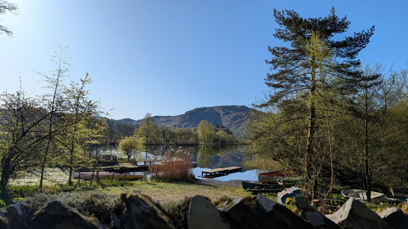
Grasmere: When a Lake Is Not Named After a Pig
Grasmere sounds poetic, and the popular claim that it means 'pig lake' sounds irresistible. The better-supported place-name evidence points to 'grass lake' instead, leaving the wild-boar and pig-shaped-shoreline stories as entertaining myths.
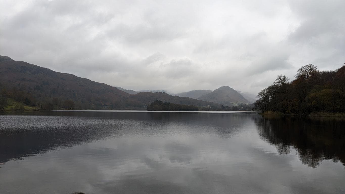
Rydal Water: The Seventy-Four-Acre Reality
Rydal Water covers about 0.3 square kilometres, or roughly 74 acres, making it the smallest of the Lake District National Park's sixteen major waters. It is compact, but there is no official size rule that makes it any less of a lake.
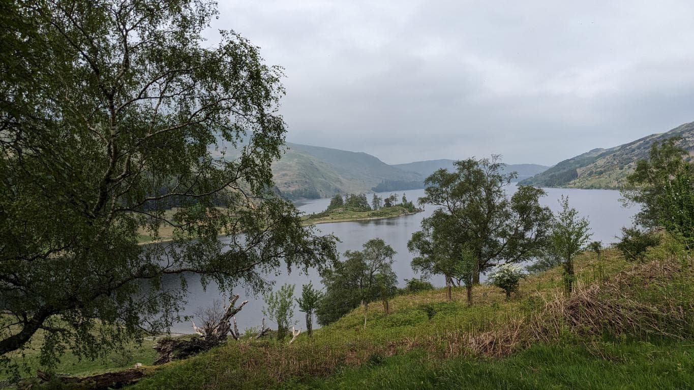
Haweswater: The Reservoir Pretending to Be Ancient
Haweswater is a natural lake enlarged by a 1930s Manchester Corporation dam. Mardale Green was demolished and submerged as the reservoir filled into the early 1940s; low water has exposed remains several times since.
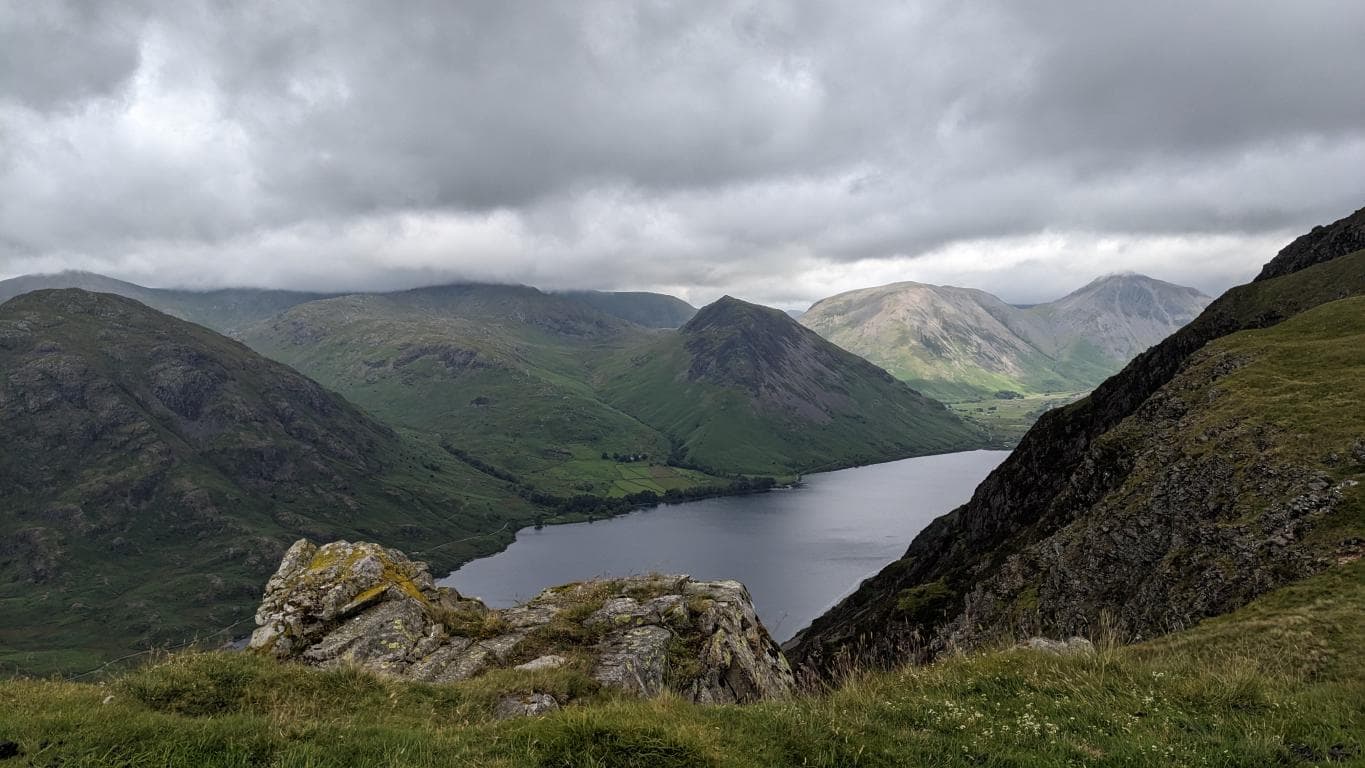
Wastwater: The One That's Almost Honest
Wastwater is England's deepest lake at 79 metres. Its name is linked through Wasdale to an Old Norse 'valley of the lake or water', while the southeast screes make a casual shoreline circuit unsafe.
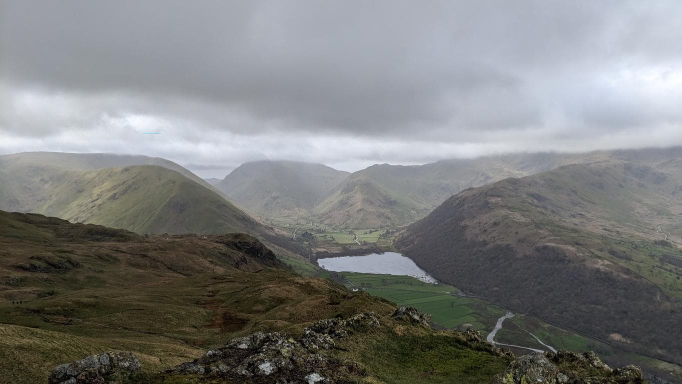
The Curious Case of Brotherswater's Name Change
Brotherswater and Broad Water both appear in the historical record: 'Brotherwater' is recorded in 1671, while Broad Water appears later. The drowned-brothers story was circulating by the early 1800s, but its details remain unverified.
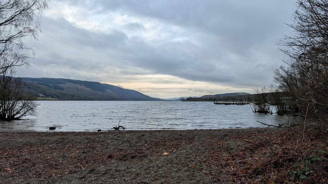
Coniston Water and the Apology in Its Name
At least Coniston Water tells you upfront what it is, which is more than can be said for most of its neighbours. The 'Water' suffix does the work that 'Lake' pretends to do everywhere else.
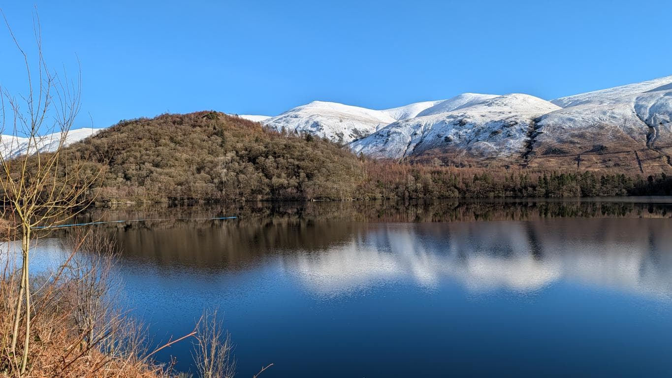
Thirlmere: The Reservoir That Drowned Itself
Thirlmere began as a natural lake that could look almost divided at low water. Manchester's 1890–94 dam raised it by about 15 metres, creating the much larger working reservoir seen today.
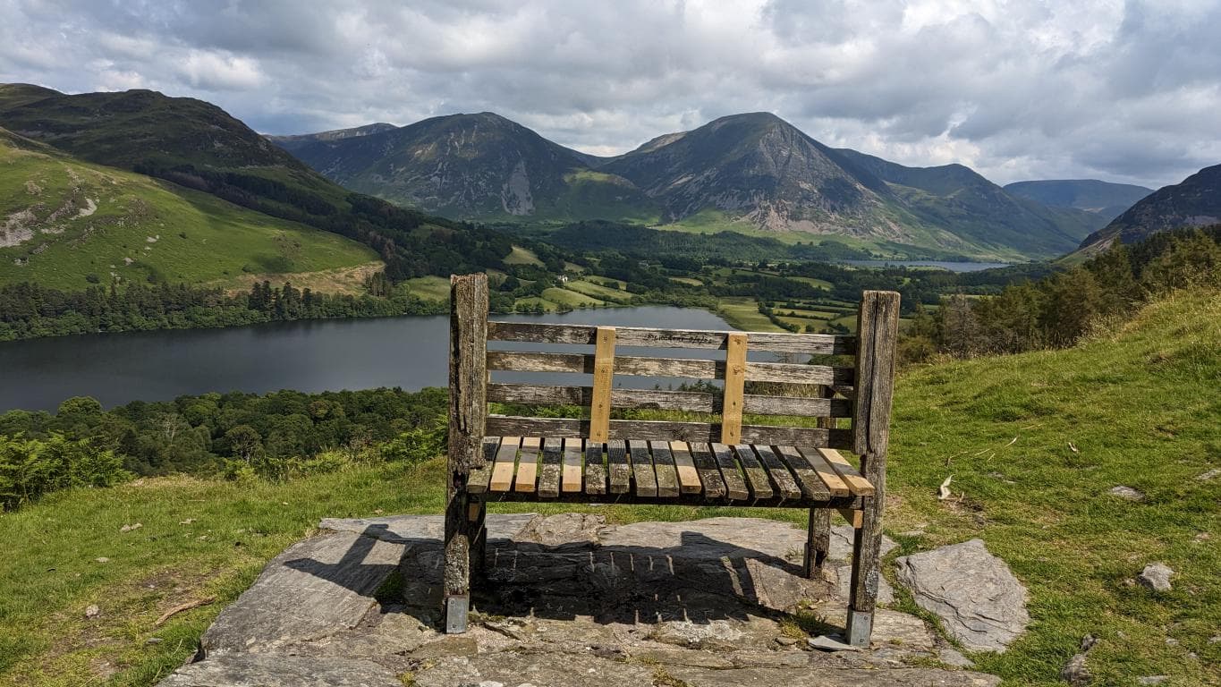
Why Loweswater Flows the Wrong Way
Loweswater does not flow uphill. It drains inland and downhill through Dub Beck and Park Beck into lower Crummock Water, an unusual direction created by the glacially shaped landscape.
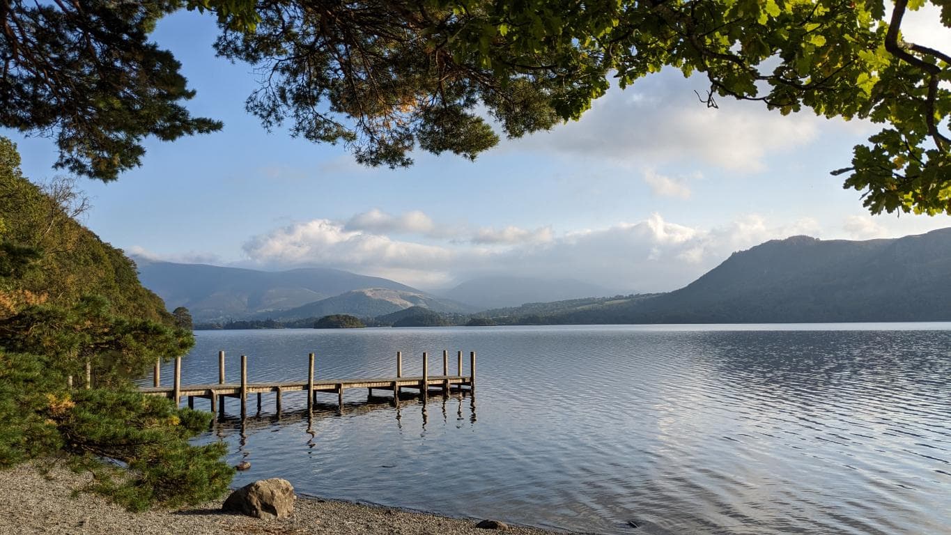
Derwentwater: The Lake That Drowns Its Own Islands
Derwentwater is a lake despite the word 'water' in its name. Its celebrated floating island rises irregularly when trapped gases make a mat of vegetation buoyant; shoreline changes are also influenced by water level.
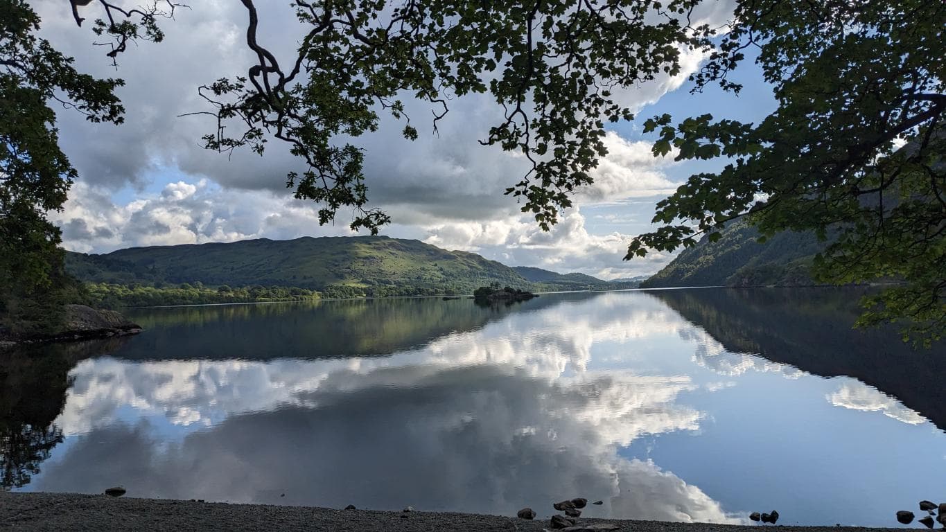
Ullswater's Three Personalities and One Viking
Ullswater is one connected lake divided visually into three reaches. Its name may mean 'Ulfr's lake' or 'lake of wolves', while the signed Ullswater Way provides a roughly 20-mile circuit.
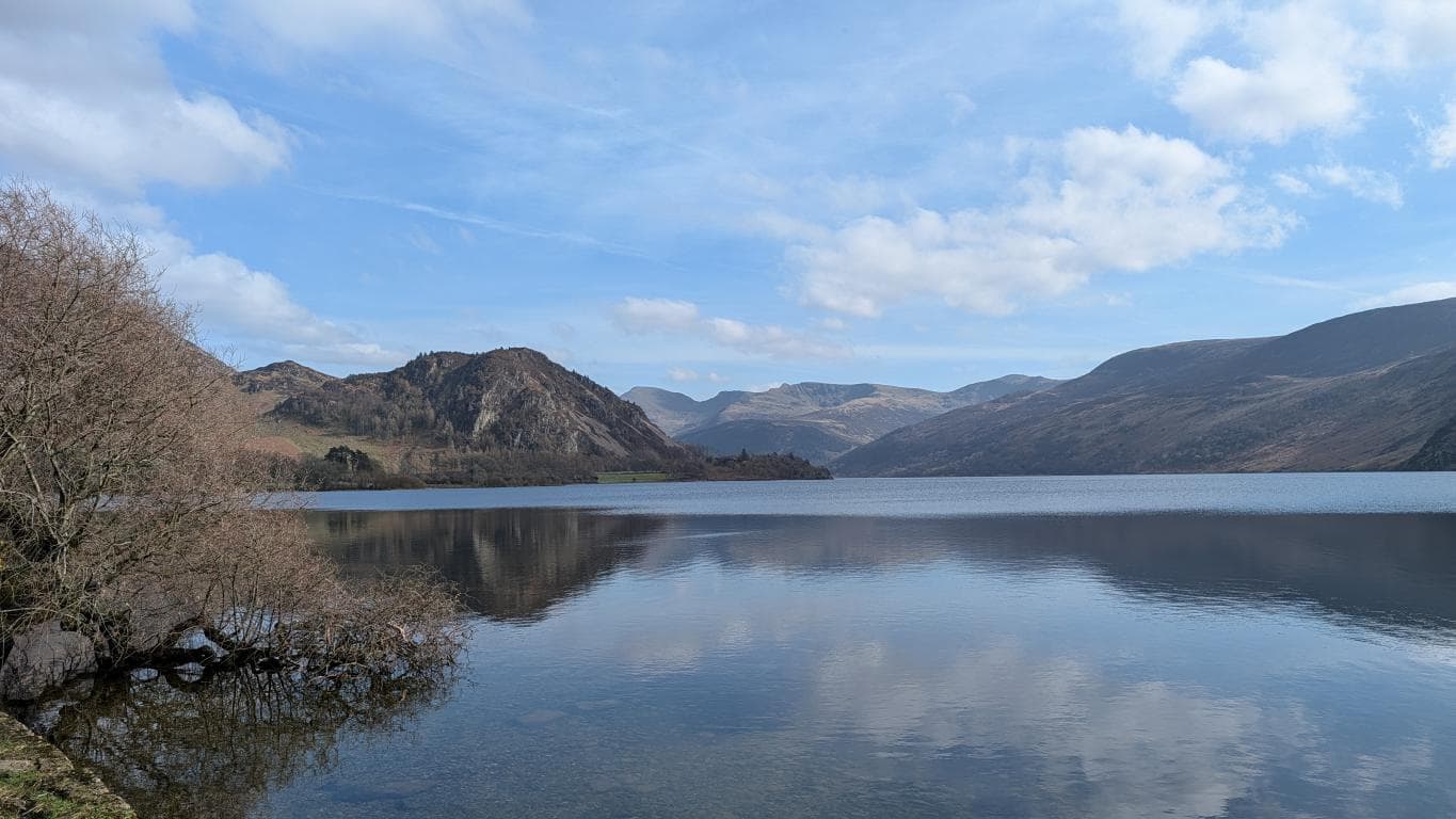
Ennerdale Water: The Lake District's Least Accessible Water
No public road follows Ennerdale Water's full shoreline, although Bowness Knott car park provides access. The rough part of the 7.5-mile circuit is the southern shore around Anglers Crag; the northern side is mainly forest road.
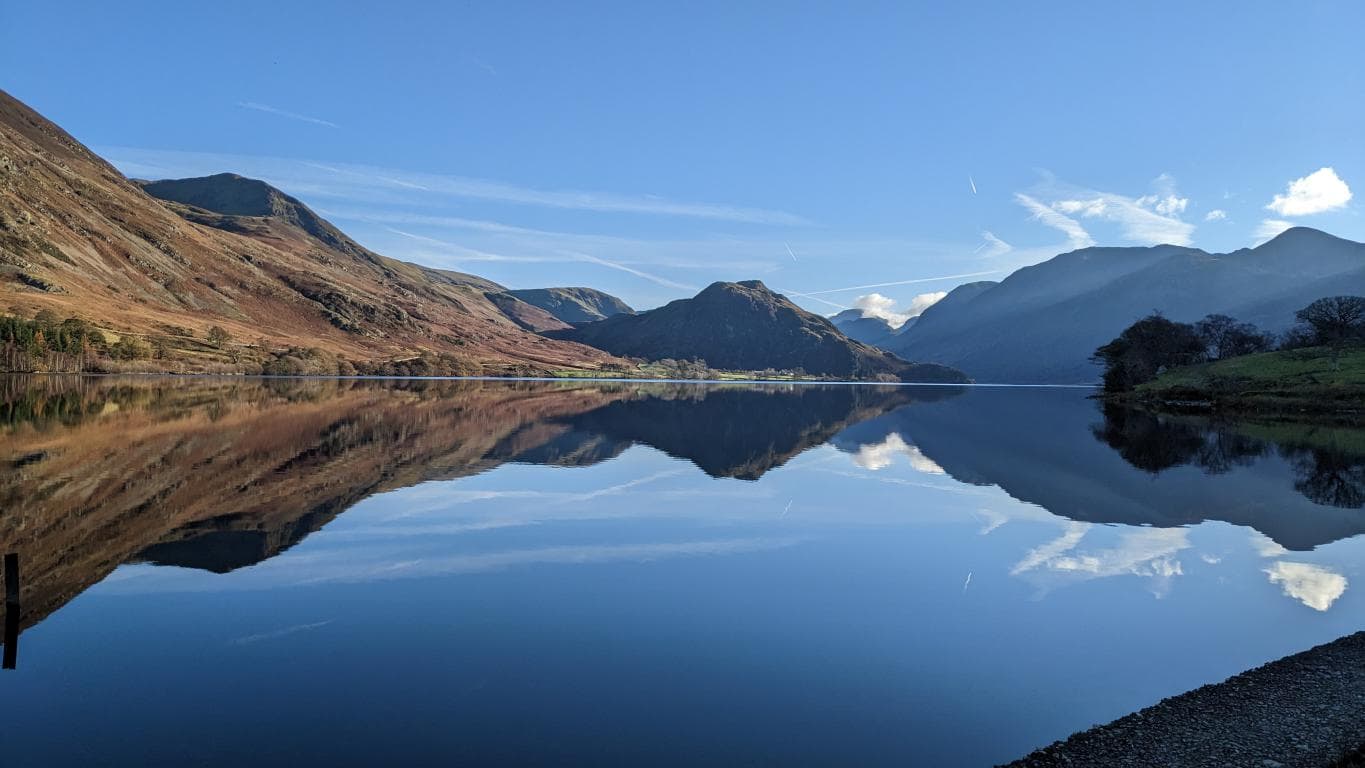
Buttermere and Crummock: When One Lake Becomes Two
Buttermere and Crummock Water used to be one body of water until sediment from Sail Beck built a barrier between them. They're now separated by a few hundred metres of flat land and several thousand years of mud, still close enough to share a car park.
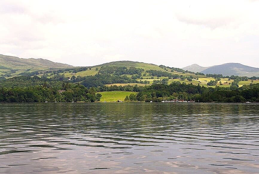
Why Windermere Is a Lake (And What a Mere Actually Means)
Old English 'mere' meant a lake, pool or standing water, not specifically something broad and shallow. Windermere is therefore both a mere and a lake; its name probably means 'Vinandr's lake'.
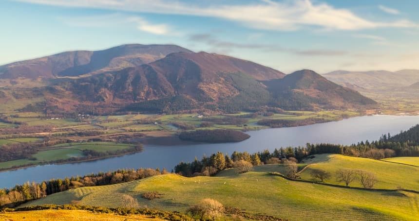
Bassenthwaite Lake: The Only One Named a Lake in the Lake District
Bassenthwaite is the only one of the National Park's sixteen major waters with 'Lake' in its official name. The form predates Victorian Ordnance Survey maps: a 1783 map already used 'Bassenthwaite Lake'.