The Galtee Ridge
Ireland’s highest inland range
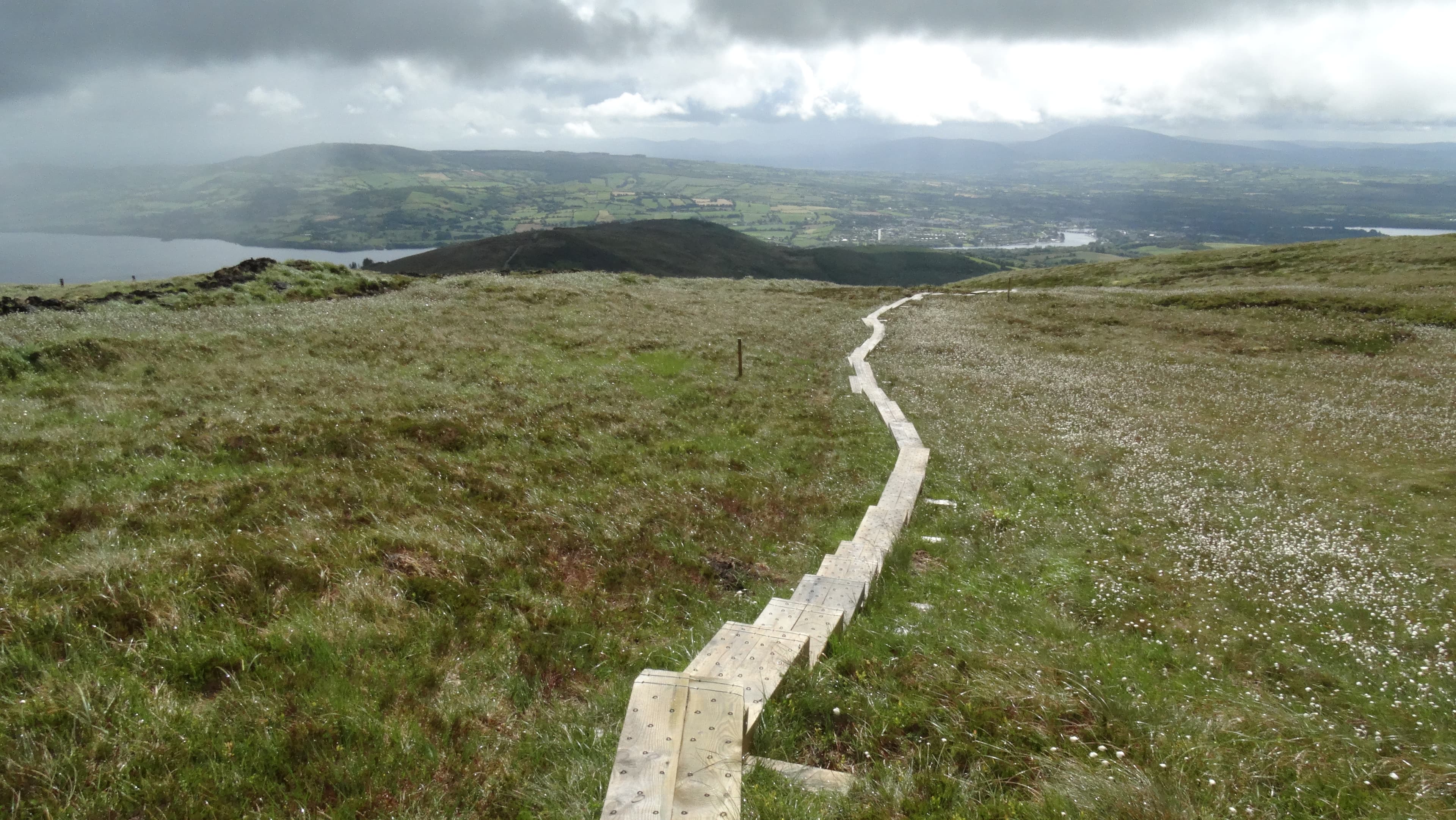
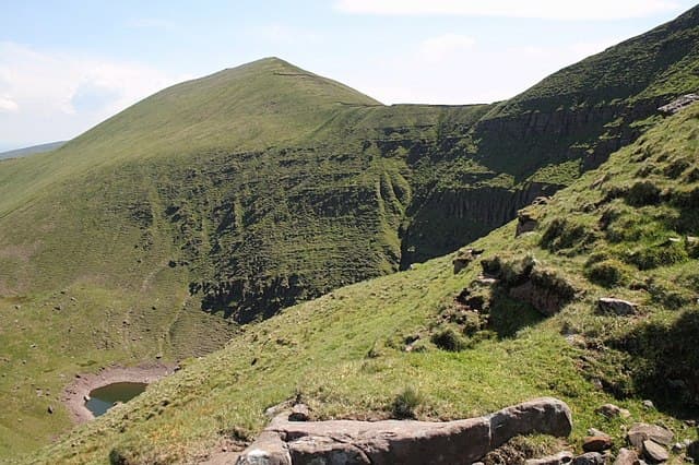
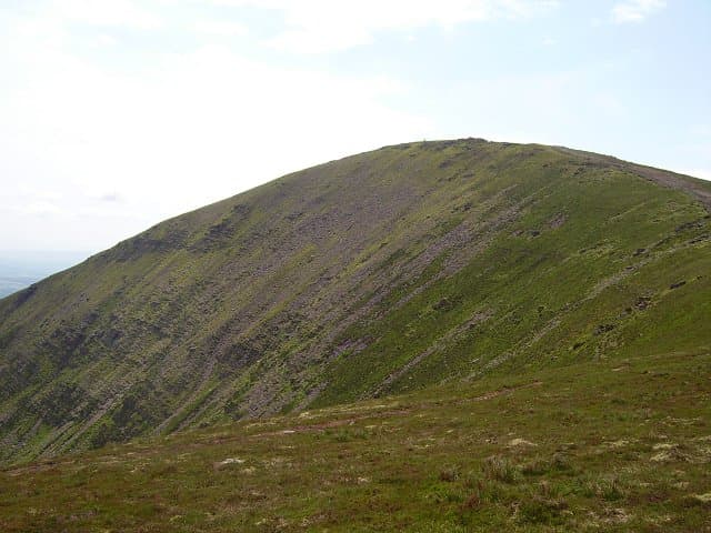
Galtymore, Galtybeg and Greenane form a long skyline above deep corries, mountain lakes and the wooded Glen of Aherlow.
Region guide
“The strangeness of this grey limestone country must be seen to be realised; it is like nothing else in Ireland or in Britain.”
— Robert Lloyd Praeger, Irish naturalist and tireless walker, describing the Burren
Highest Inland Mountain
Galtymore — 918mHighest Waterford Mountain
Fauscoum — 792mCoumshingaun Horseshoe
7.5kmMahon Falls
80mEast Munster Way
69kmThe Burren Landscape
Approximately 360km²About the region
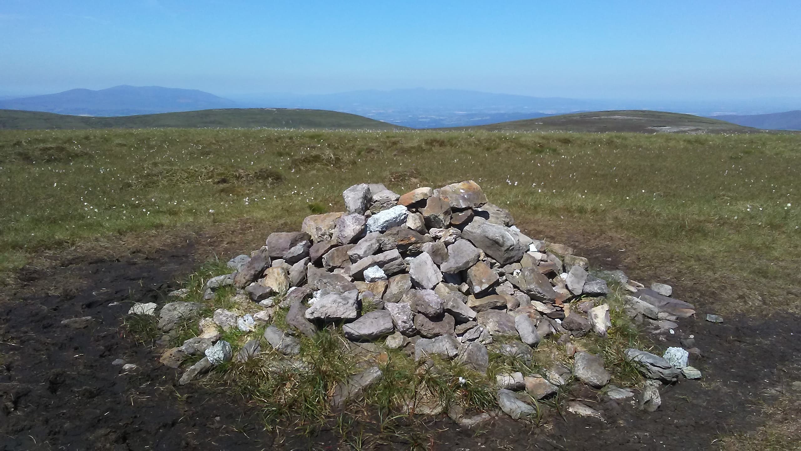
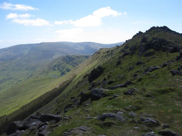
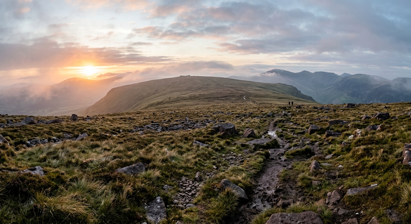
Munster’s inland mountains form a succession of distinct ranges stretching from Clare to Waterford. The Galtees are the highest, rising sharply above the Glen of Aherlow. Galtymore’s broad summit, high corries and neighbouring ridges support everything from straightforward ascents to full-day traverses across Ireland’s highest inland range.
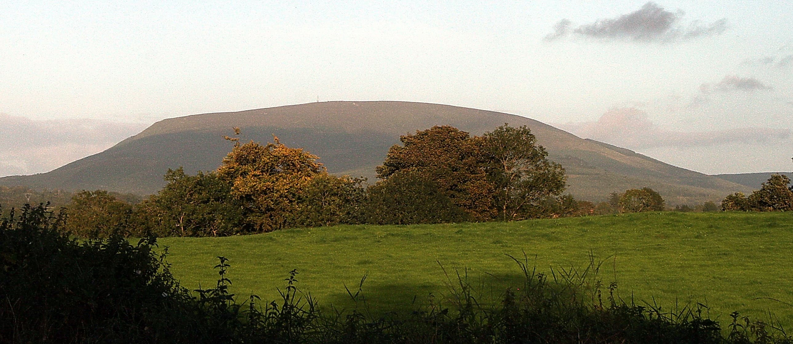
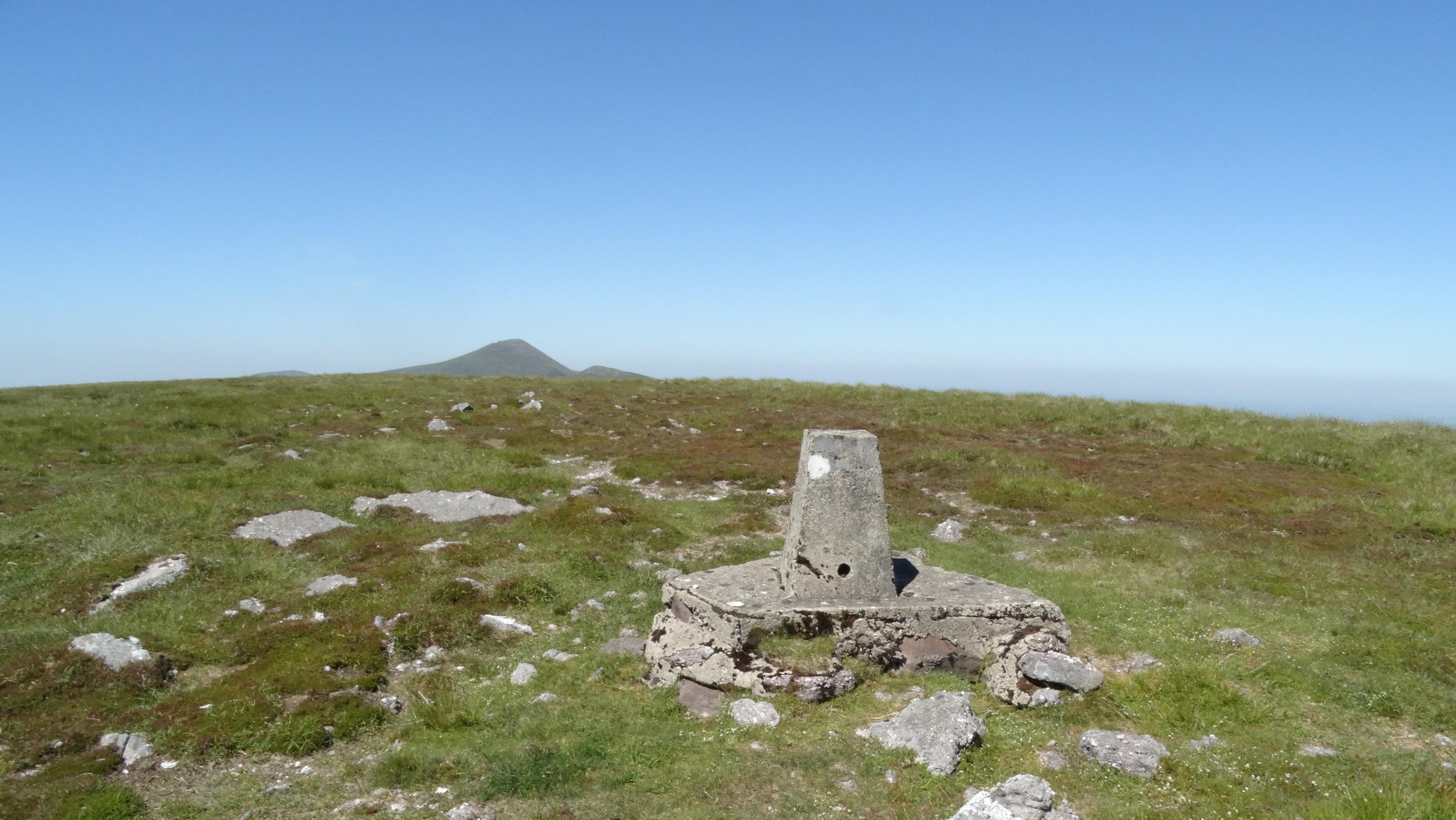
Eastwards, the Knockmealdowns form a long ridge between Tipperary and Waterford. Their rounded summits appear gentler than the Galtees, although pathless slopes, peat and poor visibility can make navigation surprisingly involved. The nearby Vee provides easier access to lower trails and forest walks.
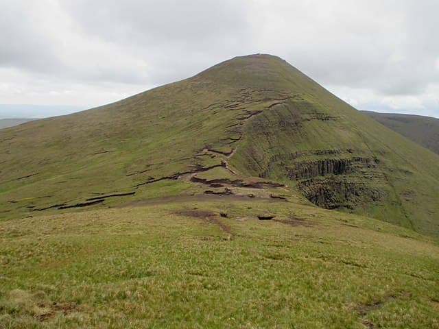
The Comeraghs bring more dramatic terrain. Coumshingaun Lough lies inside a vast glacial amphitheatre, with a demanding horseshoe following the cliffs above it. Farther west, Mahon Falls descends from the edge of the plateau into a broad mountain valley.
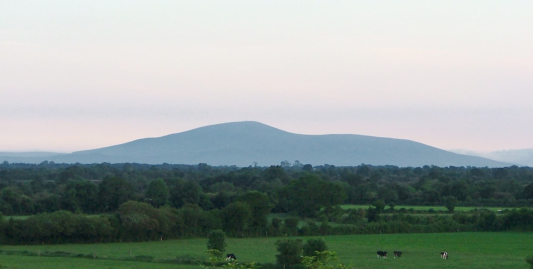
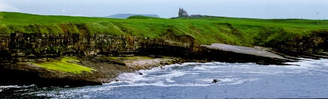
Northern Tipperary offers quieter walking across Keeper Hill, the Silvermines and the distinctive profile of Devil’s Bit. In Clare, Moylussa rises above Lough Derg, while the Burren replaces peat and sandstone with bare limestone pavement, terraced hills and disappearing streams.
These ranges are not especially high, but they are widely separated and remarkably varied. A weekend can involve a major mountain ridge, a limestone plateau and a waterfall without requiring any heroic feats of driving.
Regional signature
The Galtee Ridge
The Waterford Mountains
The Clare Limestone
The Burren’s unusual mixture of alpine, Mediterranean and native plants begins flowering, while longer days open the higher Galtee and Comeragh routes.
Best for: Burren flowers and clearer mountain ridgesLong daylight suits extended ridge walks and less-defined routes. Popular starting points can become busy, although quieter summits remain easy enough to find.
Best for: Full Galtee traverses and CoumshingaunRain strengthens Mahon Falls and the Comeragh streams, while cooler conditions suit sections of the East Munster and Blackwater Ways.
Best for: Waterfalls and long-distance trailsThe high ridges can receive snow, ice and severe winds. Limestone becomes extremely slippery when wet, so the Burren is not automatically the easy option.
Best for: Experienced walkers and lower Burren routesTrailTrack Favourites
Ten hills chosen by TrailTrack
Continue exploring
From Ireland’s highest inland ridge to the bare limestone hills of Clare, Munster proves that mountain character has very little to do with height alone.