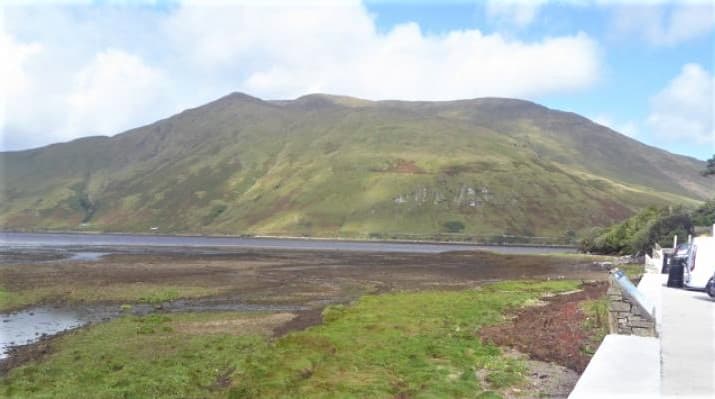
The Nephin Wilderness
Roadless mountain country
Slieve Carr, Nephin Beg and the Bangor Trail lie within a vast landscape of blanket bog, isolated valleys and some of Ireland’s most remote upland terrain.
Region guide
“Indeed the Nephin Beg range of mountains is, I think, the very loneliest place in this country.”
— Robert Lloyd Praeger, Irish naturalist and long-distance walker
Highest Mountain
Mweelrea — 814mIreland’s Remotest Summit
Slieve Carr — 721mHighest Achill Mountain
Croaghaun — 688mWild Nephin National Park
15,000 HectaresWestern Way through Mayo
130kmSligo Way
80kmAbout the region
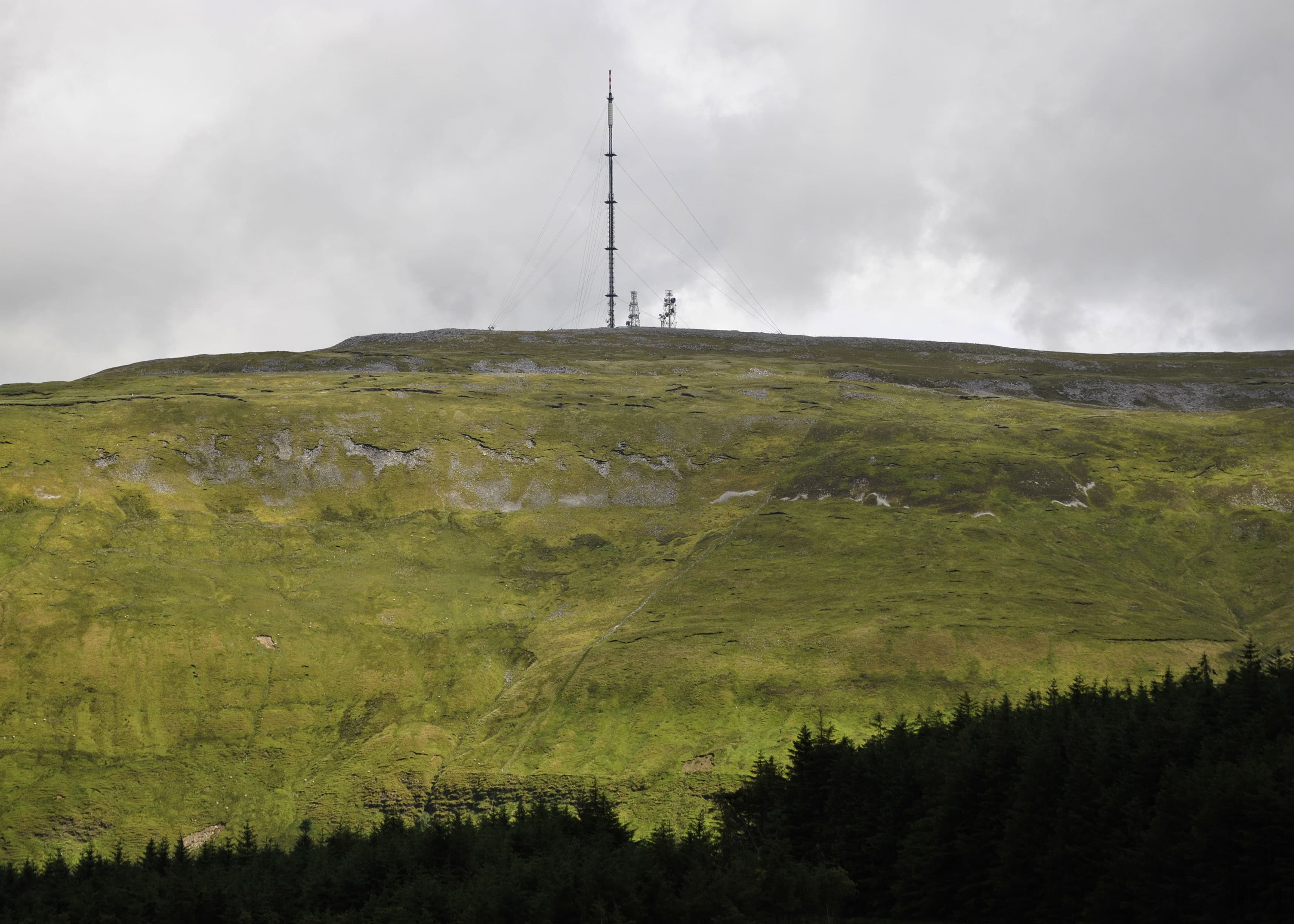
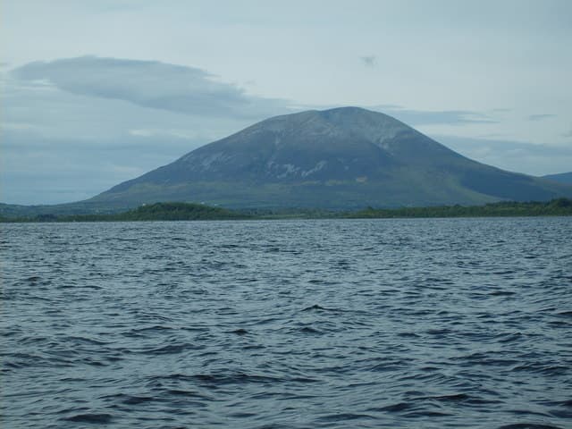
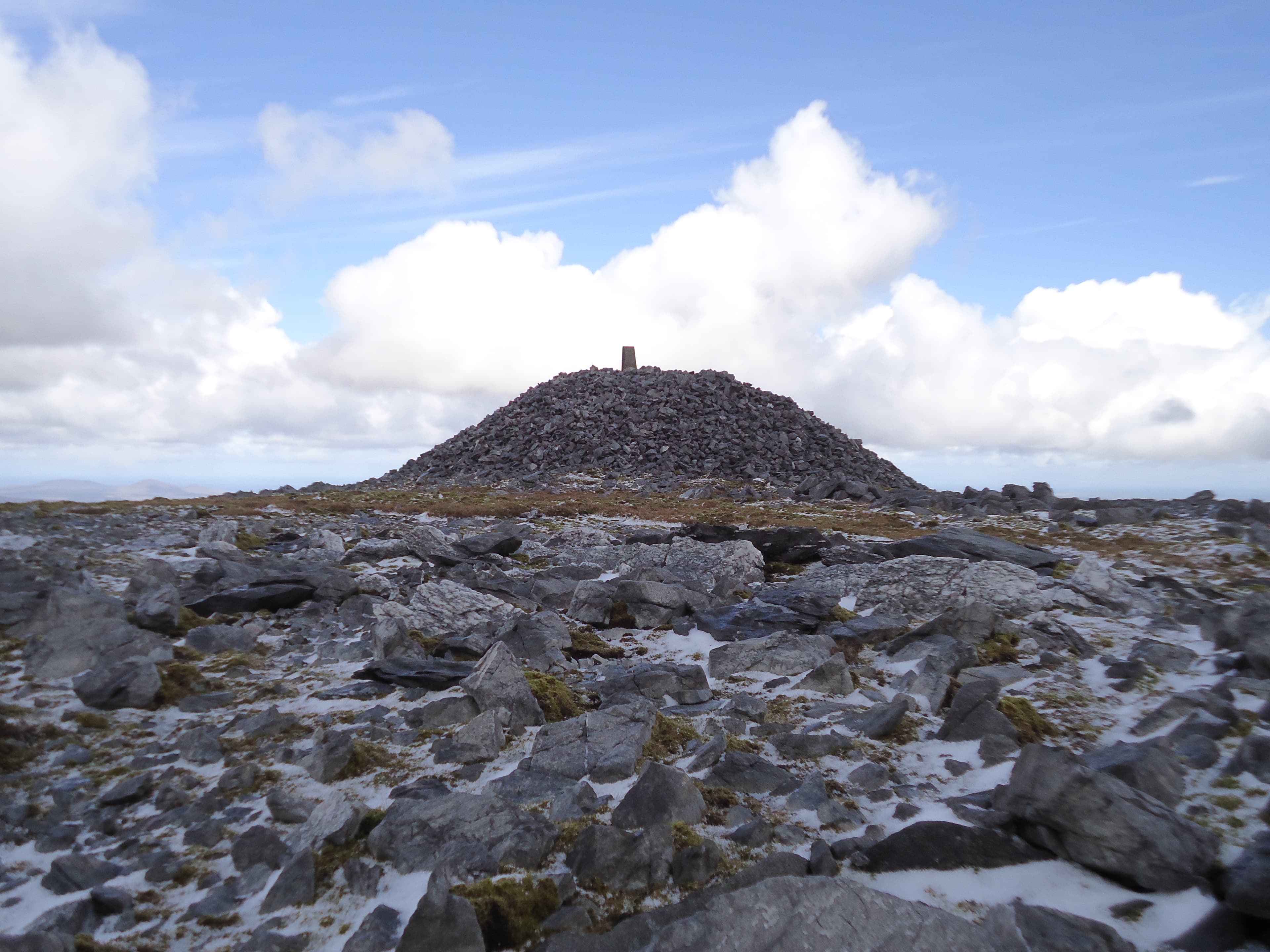
This is a region of isolated mountain groups rather than one continuous range. Mweelrea rises above Killary Harbour in southern Mayo, its broad summit plateau surrounded by steep corries, deep valleys and some of the most demanding ground in western Ireland. Farther north, Nephin stands alone above Lough Conn, while the Nephin Beg range stretches into the roadless interior of Wild Nephin National Park.
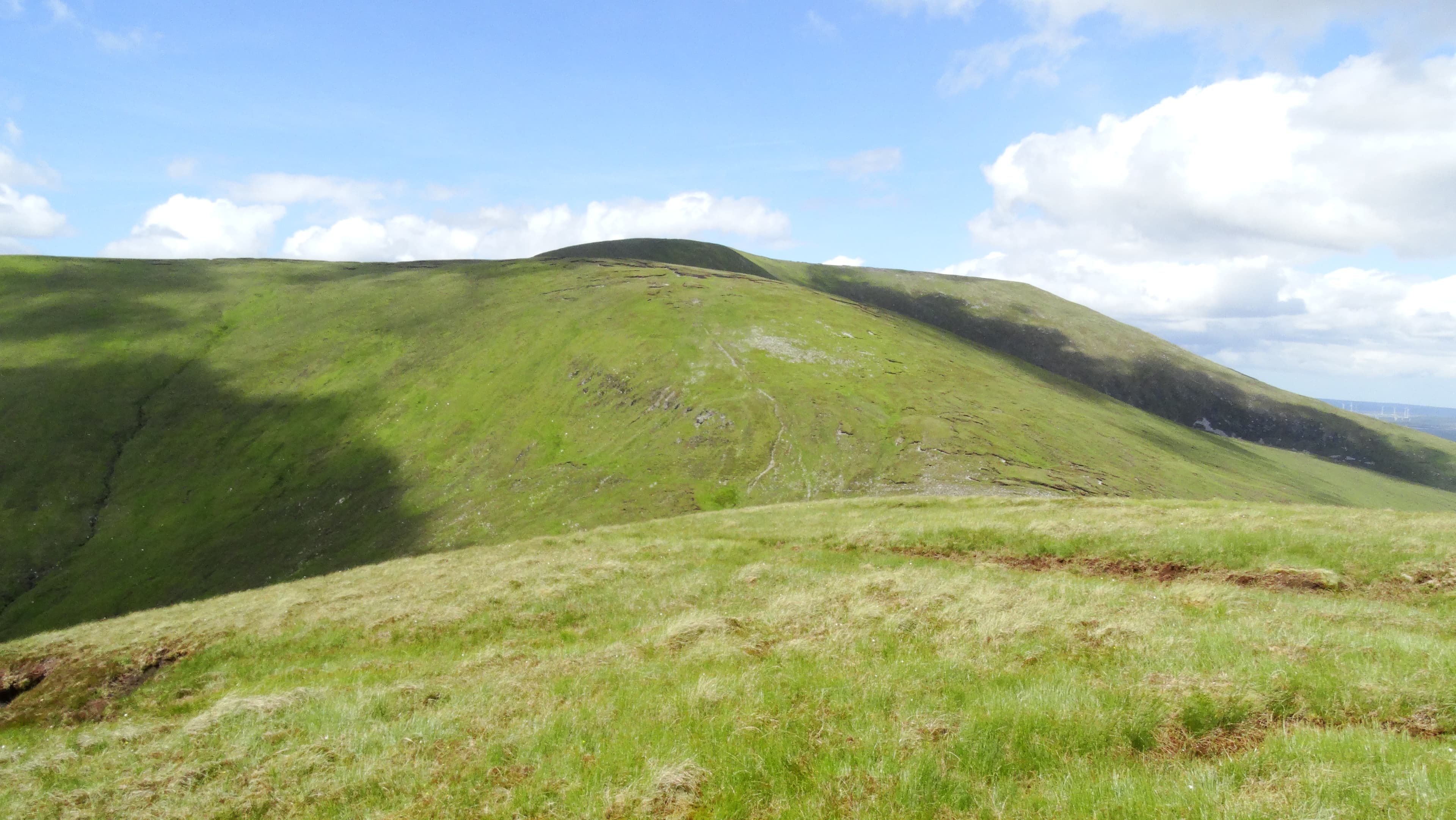
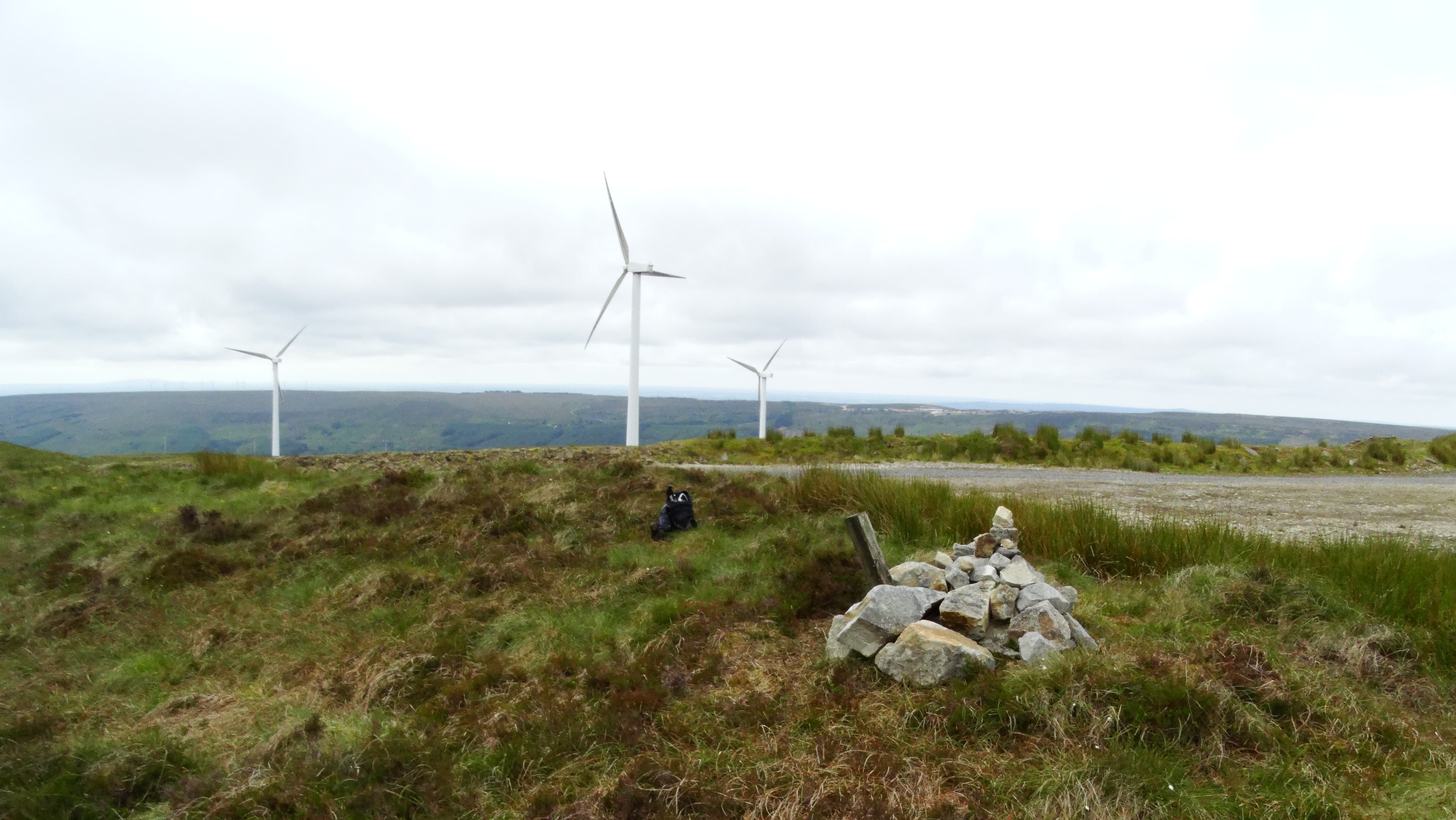
Slieve Carr is the heart of that wilderness. Reaching it requires a long approach across boggy, lightly tracked country where reliable navigation matters considerably more than summit signs. The Bangor Trail crosses the range below, following an old route between Letterkeen and Bangor Erris.
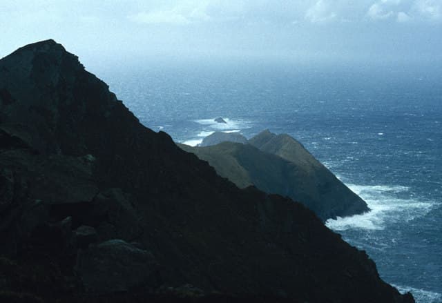
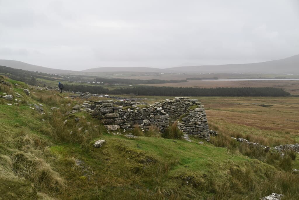
Achill Island adds another character entirely. Croaghaun rises above enormous Atlantic cliffs, while Slievemore combines open mountain walking with the remains of a deserted settlement on its lower slopes.
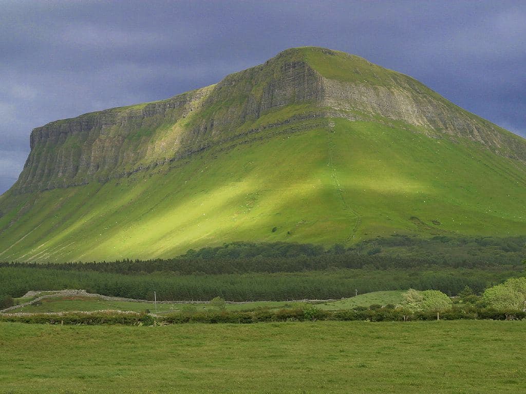
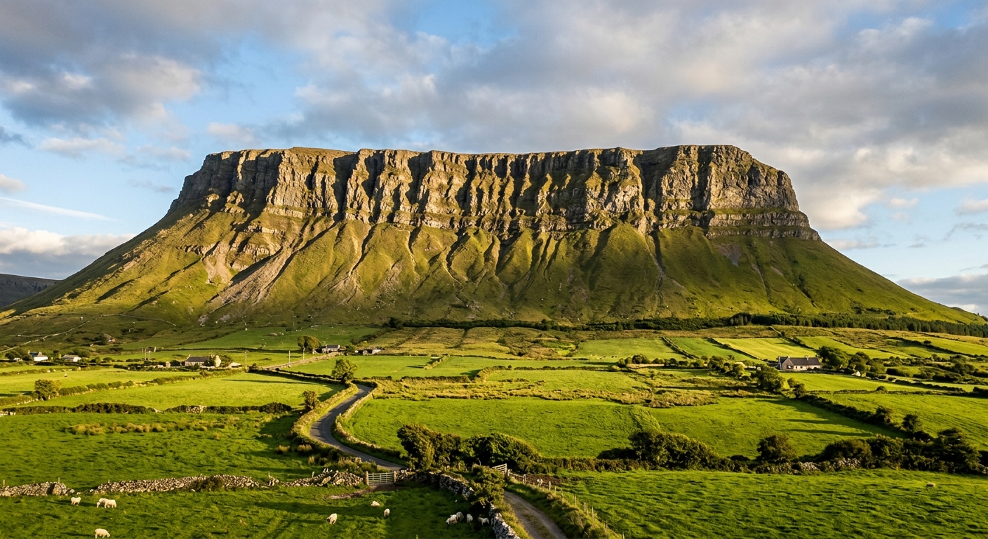
Across Clew Bay, Croagh Patrick draws the crowds, but the nearby Ben Gorm and Sheeffry hills provide quieter alternatives. Sligo’s mountains are lower but instantly recognisable: Benbulbin’s limestone escarpment dominates the coast, while Truskmore rises behind it on the Leitrim border. Inland, the Arigna and Cuilcagh country continues through northern Roscommon and western Cavan, exchanging sea cliffs for forests, blanket bog and long, rolling ridges.
Regional signature
The Nephin Wilderness
The Atlantic Mountains
The Limestone North
Lengthening days suit Mweelrea, Nephin and the Achill hills. Blanket bog remains wet, while late cold snaps can still bring snow to the highest ground.
Best for: Clear coastal summits and quieter trailsLong daylight is invaluable on Slieve Carr and the Bangor Trail. Croagh Patrick becomes extremely busy, but the surrounding Mayo mountains remain much quieter.
Best for: Wild Nephin expeditions and long ridge daysCooler air can produce sharp visibility across Clew Bay and Donegal Bay. Shortening days require careful planning on remote routes with lengthy approaches.
Best for: Atlantic views and Sligo’s limestone hillsStrong winds, saturated bog and low cloud are often more troublesome than snow. Exposed coastal mountains can become serious very quickly in Atlantic weather.
Best for: Experienced walkers and lower forest routesTrailTrack Favourites
Ten hills chosen by TrailTrack
Continue exploring
From roadless bog and remote summits to limestone cliffs and mountains above the Atlantic, Ireland’s northwest leaves plenty of space between you and everyone else.