Lake District
Owsen Fell
409M
1341FT
About Owsen Fell
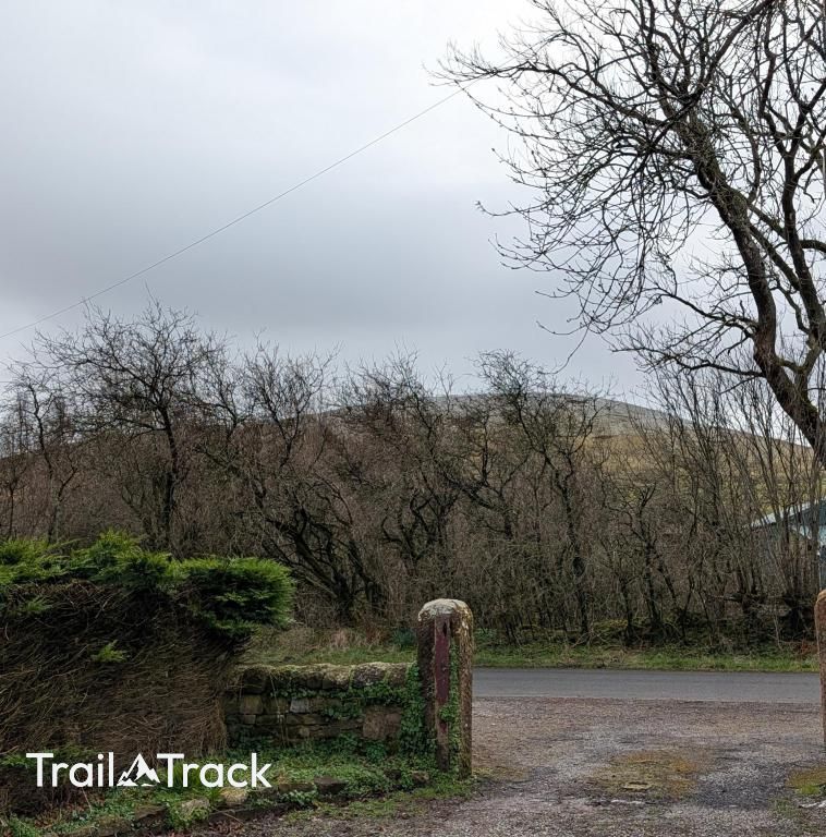
Tucked away in the Western Fells above Lamplugh, this quiet Birkett offers a soft, grassy ascent far from the Lake District crowds. From its humble summit, you gain an expansive view across the Solway Firth to Scotland and a direct look into the rugged northern faces of the Loweswater Fells.
Key Statistics
Rank
588th Highest in Region
Parent Range
Western Fells
Prominence
?
23m
Nearest Town
Mockerkin
Geology
Owsen Fell is shaped from the Loweswater Formation. It consists of a hardy, gritty sandstone that forms the fell's solid foundation.
Find It
Latitude
54.5757°N
Longitude
3.3929°W
Did You Know?
- •The name is rooted in the Old Norse 'oxn', meaning oxen, indicating the historical use of these lower slopes as grazing land for working cattle.
- •From the summit, walkers are treated to a clear view of the Cumbrian coastal plain and the Solway Firth, with the hills of Dumfries and Galloway often visible across the water on clear days.
- •Owsen Fell is the northernmost point of the ridge leading to Blake Fell, serving as a gateway to the quiet group of hills that overlook the peaceful valley of Loweswater.
- •It is classified as a Synge, appearing in Tim Synge’s guidebook 'The Lakeland Fells', which maps out 247 summits including many overlooked by Wainwright.
- •The fell provides an excellent vantage point to observe the steep-sided screes of Carling Knott and the deep glacial trough of the Ennerdale valley to the south.
- •In late summer, the height of the bracken on the lower slopes can make the modest 409-metre ascent feel significantly more arduous than the map suggests.