Lake District
High Hows (Lamplugh)
313M
1026FT
About High Hows (Lamplugh)
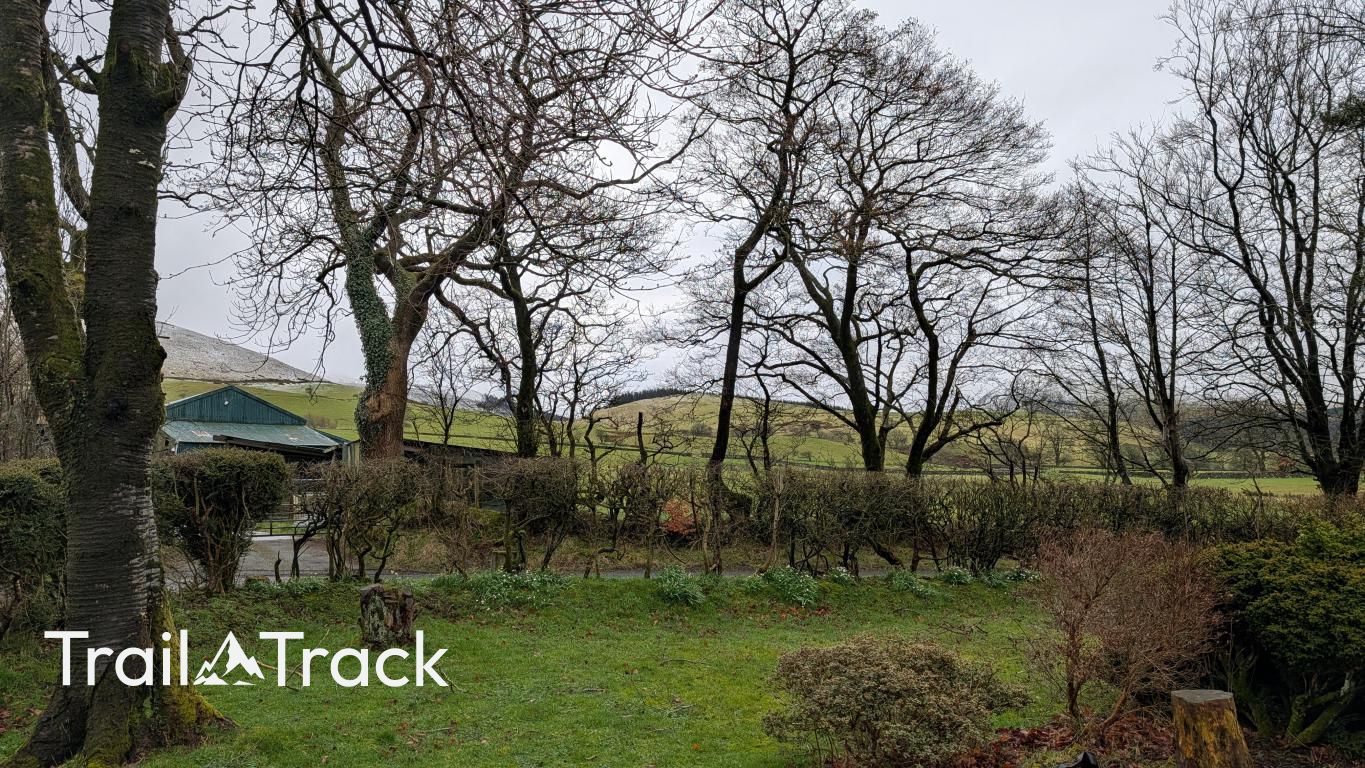
Tucked away on the western edge of the Lake District near Ennerdale Bridge, this modest Birkett offers a quiet alternative to the high fells. Its grassy slopes provide a straightforward ascent with expansive views stretching across the West Cumbrian coastal plain toward the Irish Sea and the distant Scottish hills beyond the Solway.
Key Statistics
Rank
752nd Highest in Region
Parent Range
Western Fells
Prominence
?
43m
Nearest Town
Mockerkin
Geology
Beneath your boots lies the Loweswater Formation. It is composed of wacke, a gritty, muddy sandstone that creates the solid foundation of this fell.
Find It
Latitude
54.5690°N
Longitude
3.3992°W
Did You Know?
- •The name 'How' is a common Lakeland topographical term derived from the Old Norse 'haugr', meaning a hill or burial mound. 'High Hows' effectively translates to 'high hills', a descriptive name for this elevated ground rising above the village of Lamplugh.
- •From the summit, walkers are treated to a sharp contrast in scenery: to the west lies the industrial coastal strip and the sea, while the eastern horizon is dominated by the steep, dark northern face of Great Borne and the more rugged Ennerdale fells.
- •Though it lacks Wainwright status, the hill is included in Tim Synge’s 'The Lakeland Summits'. This classification requires at least 50 feet of re-ascent on all sides, confirming the hill's standing as a distinct and independent summit rather than a mere shoulder of the higher fells.
- •High Hows is frequently climbed as part of a gentle circuit from Lamplugh, often paired with its southern neighbour, Kelton Fell, providing a softer walking experience on grass and heather compared to the rocky terrain of the central Lakes.
- •At 1,026 feet, the hill qualifies as a Birkett with only 25 feet to spare—just enough height to ensure it is officially a 'mountain' rather than a very high field.