Lake District
Blake Fell
572M
1878FT
About Blake Fell
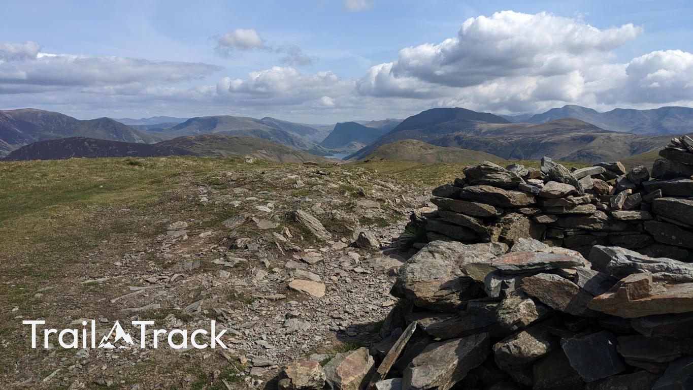
Blake Fell is the highest point of the Loweswater Fells, typically climbed via a steady ascent from Cogra Moss. The broad summit features a substantial stone shelter and offers clear, expansive views across the Solway Firth and toward the more rugged Ennerdale peaks.
Key Statistics
Rank
295th Highest in Region
Parent Range
Western Fells
Prominence
?
163.1m
Nearest Town
Lamplugh
Geology
You’re walking on the Kirk Stile Formation, a layer of fine‑grained mudstone and siltstone that formed from ancient lake or river deposits.
Find It
Latitude
54.5646°N
Longitude
3.3772°W
Did You Know?
- •At 573 metres, Blake Fell is the highest point in the Loweswater Fells and is classified as both a Wainwright and a Marilyn due to its 160-metre prominence.
- •The western slopes near Sharp Knott show evidence of the area's industrial history, where lead and barite were once extracted from the Knockmurton mines during the 19th century.
- •The name 'Blake' is derived from the Old Norse 'blár' or Middle English 'blake', which translates to 'dark' or 'bare', likely referring to its appearance when covered in heather.
- •The fell overlooks Cogra Moss, an artificial reservoir constructed in 1880 to provide water for the Lamplugh area, though it has since been decommissioned and repurposed for trout fishing.
- •Because it stands as a sentinel on the western edge of the Lake District, the summit serves as a giant wind-catcher for Atlantic gales; the stone windbreak is a vital piece of architecture if you intend to keep your hat and your dignity.