Lake District
Armboth Fell South Top
475M
1558FT
About Armboth Fell South Top
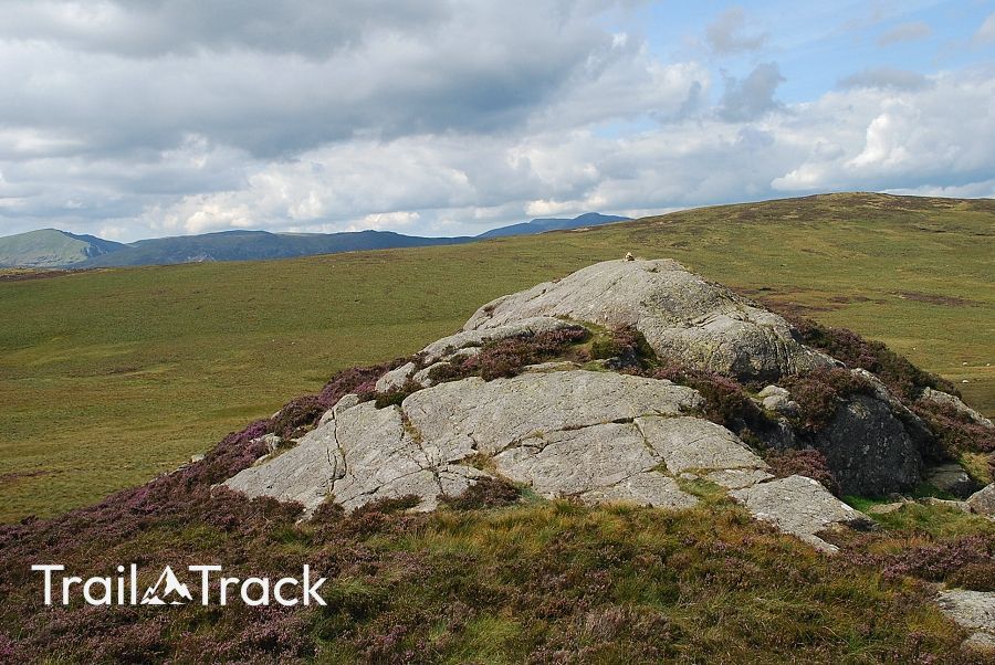
Nestled in the quieter western region of the Lake District, Armboth Fell offers understated charm with its modest height and peaceful surroundings near Thirlmere reservoir.
Key Statistics
Rank
460th
Parent Range
Central Fells
Prominence
?
7.7m
Nearest Town
Rosthwaite
Geology
Borrowdale Volcanic Group
Classifications
Nearby Fells
Find It
Latitude
54.5320°N
Longitude
3.0897°W
Did You Know?
- •The fell sits in a relatively less-trodden part of the Lake District, making it a perfect spot for walkers seeking solitude. Its position near Thirlmere means you'll often have spectacular views of the reservoir and surrounding landscape with very few fellow hikers around.
- •Despite its somewhat unremarkable appearance, Armboth Fell was historically important for local shepherds who used these slopes for grazing their sheep. The terrain and landscape tell stories of generations of pastoral farming in this remote corner of Cumbria.
- •The fell is technically part of the Borrowdale Volcanic Group, which means its geological origins date back to ancient volcanic activity millions of years ago. This volcanic heritage contributes to the rugged and distinctive terrain of the Lake District mountain landscape.