13 guides
Devoke Water: When a Tarn Is Technically a Lake But Nobody Treats It Like One
At 1.5 kilometres long and sitting at 237 metres on Birker Fell, it's larger than Brotherswater and deeper than Elterwater. But it's on a plateau with no road access and no tourist infrastructure, which apparently disqualifies it from lake status in the public imagination.
Grisedale Tarn: The One at the Head of the Valley
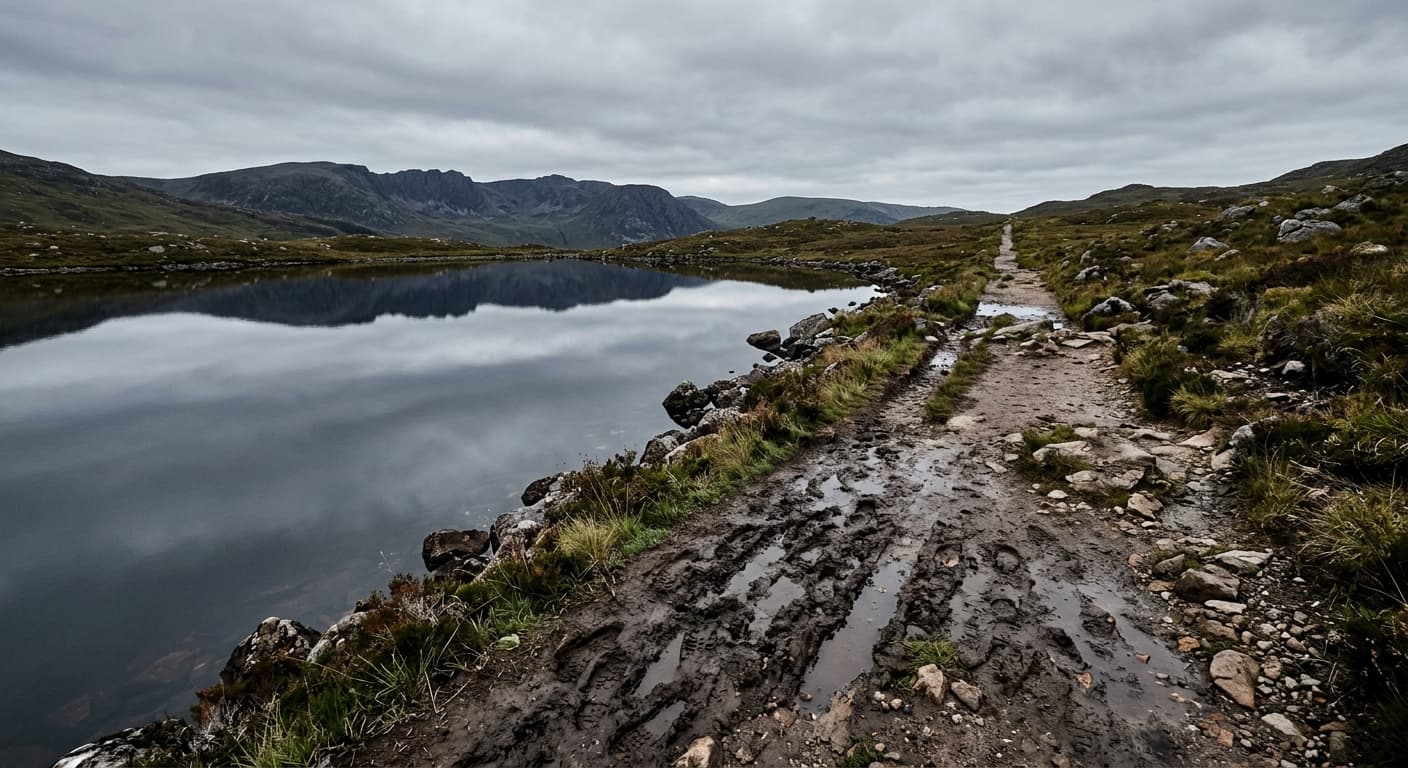
About 538 metres at the head of Grisedale, between Fairfield and Dollywaggon Pike. It's not at 580 metres, and it's not where five valleys meet, but it's still on half the popular routes and most people walk straight past.
Bowscale Tarn: The One That Might Have Pike in It (But Probably Doesn't)
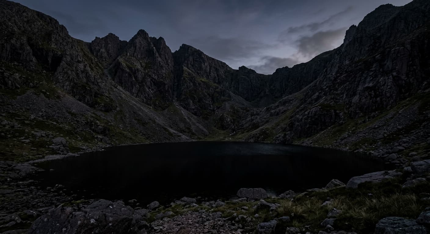
Local myth insists two immortal pike live in Bowscale Tarn under Bowscale Fell, appearing once a year to remind everyone of medieval storytelling. Nobody's caught one, which either means they're very good at hiding or the 17th century had a flexible relationship with fish biology.
Burnmoor Tarn: When a Tarn Has Better Fishing Rights Than Most Lakes
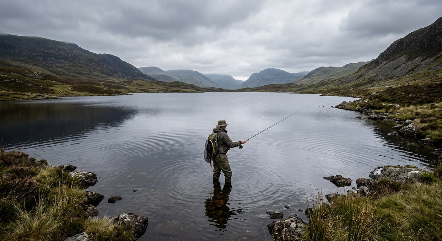
Sitting at 253 metres between Wasdale and Eskdale, it's nearly a kilometre long and deep enough for brown trout that see fewer anglers than Windermere's pike. It's also on nobody's route to anywhere, which keeps it quieter than bodies of water a tenth the size.
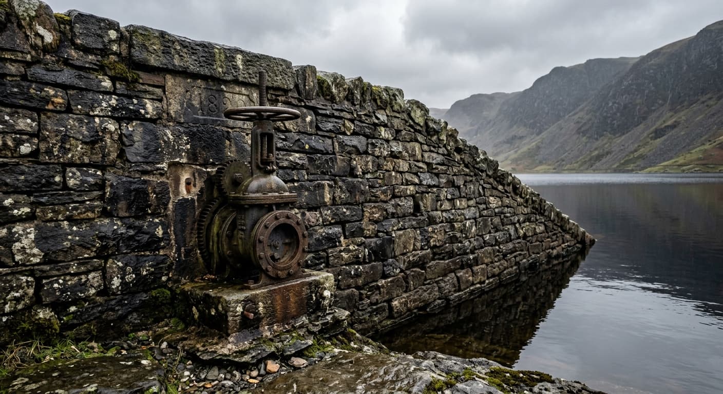
Levers Water: Dammed Before the Victorians Got There
Already dammed by the late seventeenth or early eighteenth century, then enlarged and stone-faced around 1820 to supply the Coniston copper mines. Half natural corrie, half industrial relic, and the stonework's still holding.
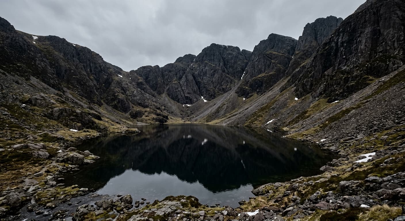
Goats Water: The Name That Stuck
A corrie tarn below Dow Crag. There's no reliable smaller Goats Lake it was named after—Goats Water is the established name, and that's all there is.
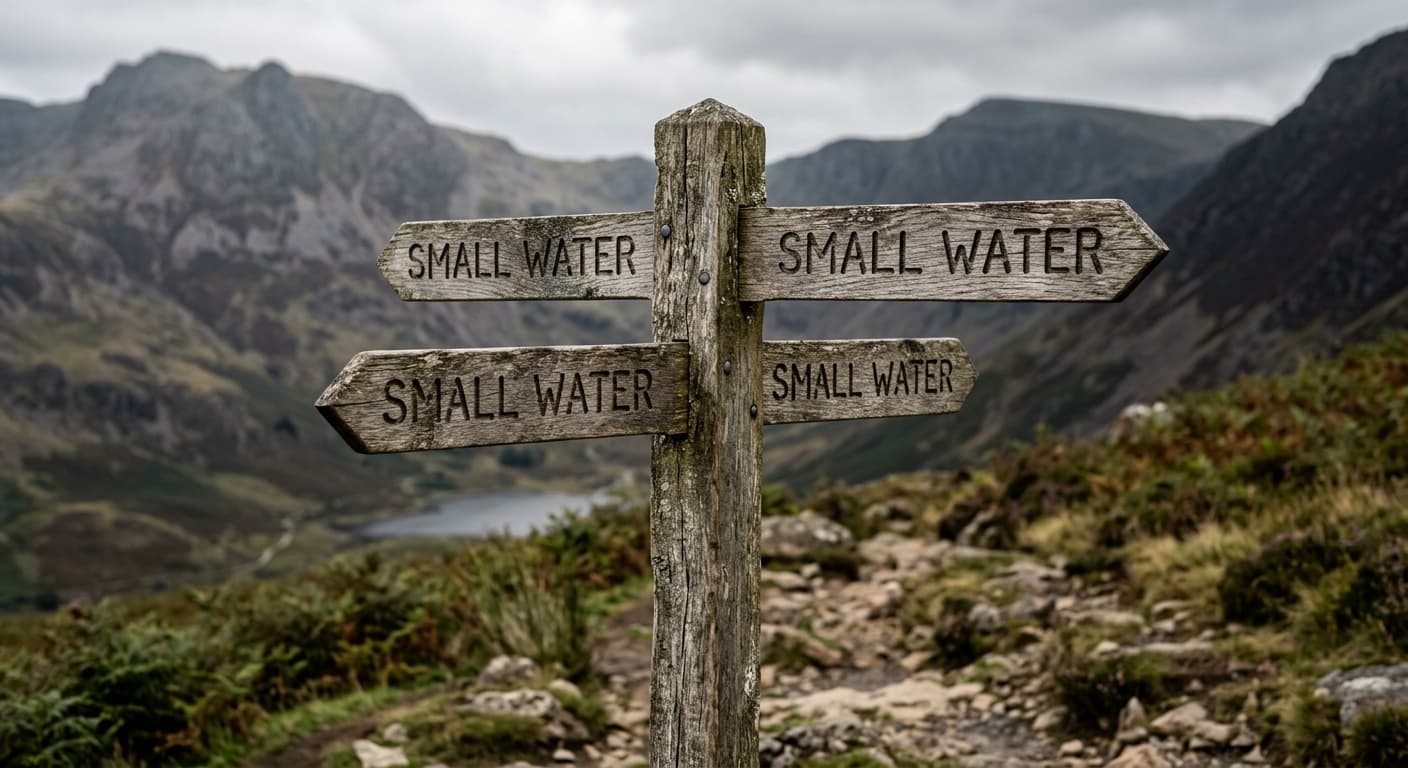
Small Water: The Mardale Tarn Above Haweswater
Small Water is the mountain tarn above Haweswater on the Nan Bield route. Here is its verified location, useful route context and why precise place-names matter.
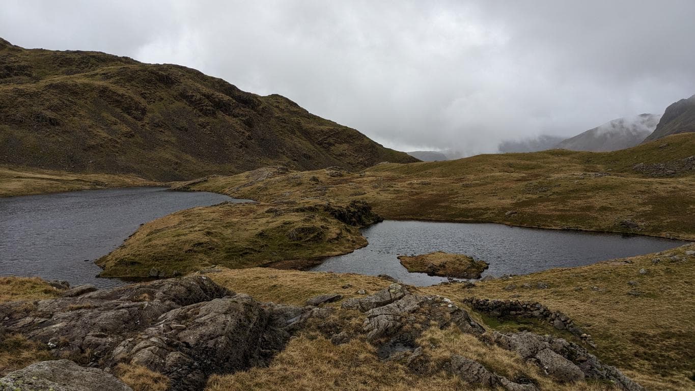
Sprinkling Tarn: When the Tarn Sits Higher Than Most Summits in Southern England
Sprinkling Tarn lies at about 598 metres beside the mountain route between Sty Head and Esk Hause. It is a substantial upland tarn in a remote, exposed setting — not a shallow puddle.
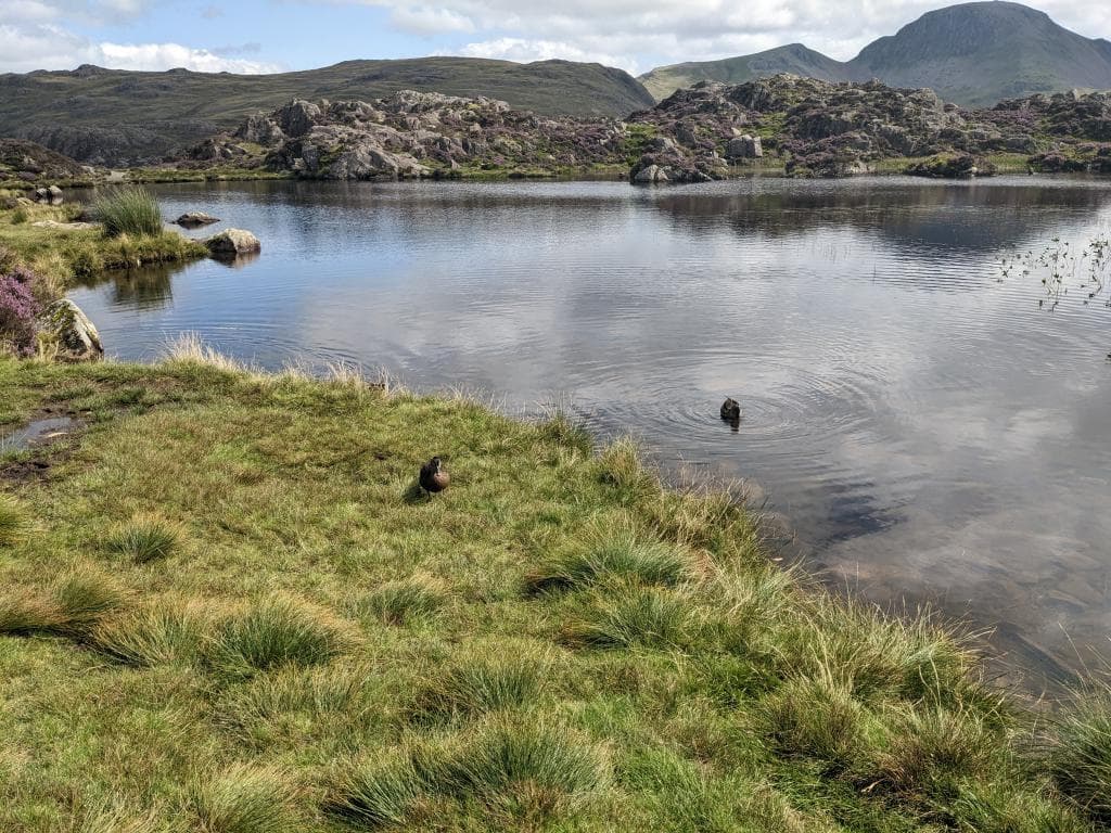
Innominate Tarn: Wainwright's Resting Place on Haystacks
Innominate Tarn lies at about 520 metres on Haystacks, Alfred Wainwright's favourite fell and one of the 214 Wainwrights. His wife Betty scattered his ashes by the shore in March 1991, fulfilling a wish he had recorded decades earlier.
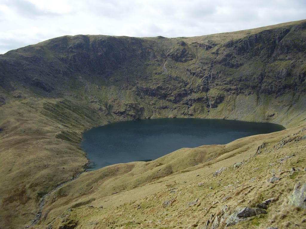
Blea Water: The Deepest Tarn and the Climb It Demands
Blea Water is a glacial corrie tarn beneath High Street, around 63 metres deep and about 480 metres above sea level. A direct visit from Mardale Head is a serious mountain walk, but it does not demand 550 metres of ascent.
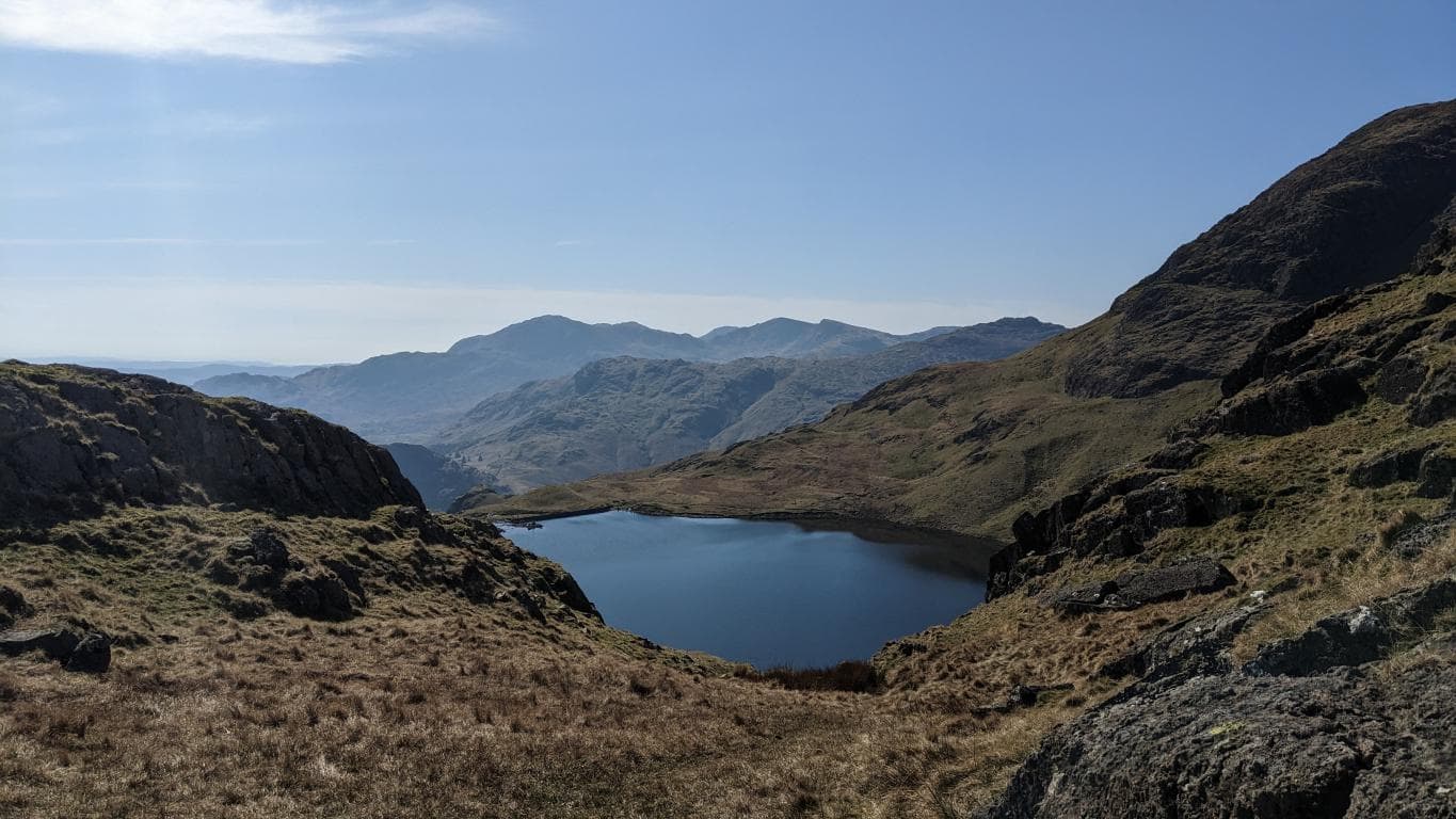
Stickle Tarn: The Steep Walk Beneath Pavey Ark
Stickle Tarn is an 8.4-hectare mountain tarn beneath Pavey Ark, reached by a challenging 1.9-mile return trail from Great Langdale. Jack's Rake rises beyond it, but that Grade 1 scramble is serious and should not be underestimated.
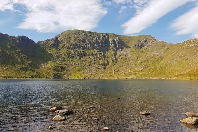
Red Tarn (Helvellyn): A Fragile Corrie Beneath the Edges
Red Tarn is an 8-hectare corrie tarn at 718 metres beneath Helvellyn, with a maximum depth of 24 metres and a rare native schelly population. Accurate route context and care for its fragile upland shore matter more than invented visitor totals.
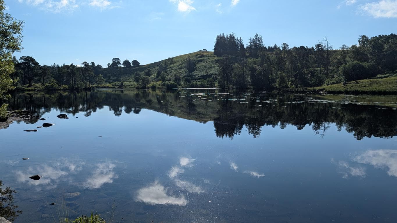
Tarn Hows: A Designed Lake District Landscape
Tarn Hows began as three natural tarns and was reshaped by James Garth Marshall in 1865. The National Trust's accessible circular trail is 2 miles (3.2km), takes about an hour and includes some climbs and descents.