The Hollow Mountain
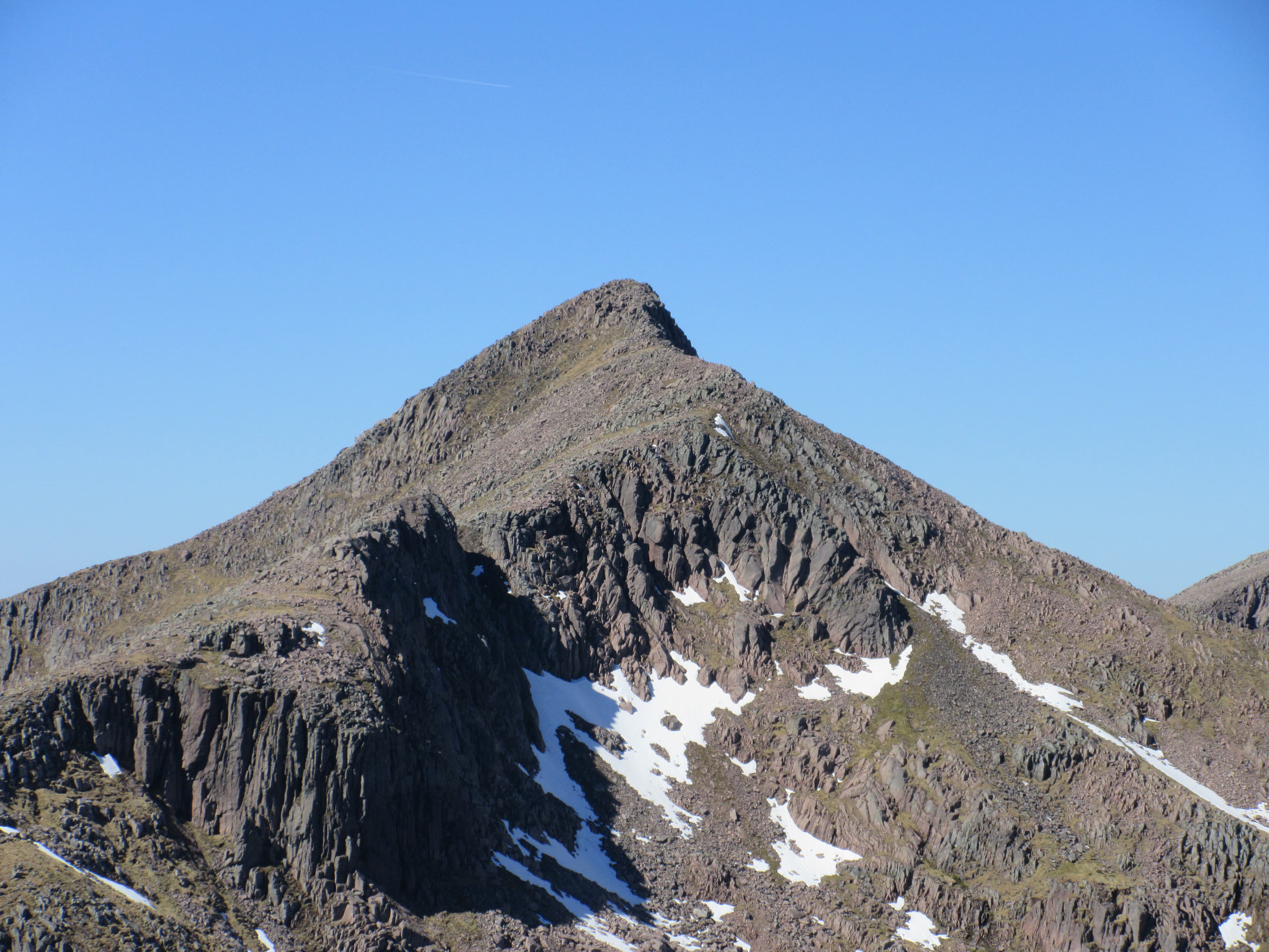
Ben Cruachan — 1,127m
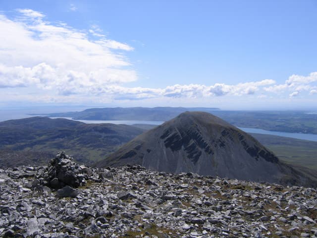
A complete hydroelectric power station lies inside Ben Cruachan, beneath a rocky horseshoe containing high summits, a reservoir and one of Argyll’s finest mountain circuits.
Region guide
“It’s an extremely un-get-atable place”
— George Orwell, describing the remote location of Barnhill on Jura, where he completed Nineteen Eighty-Four
Highest Peak
Ben Cruachan — 1,127mHighest Island Summit
Beinn an Oir — 785mLongest Freshwater Loch
Loch Awe — 41kmLong-Distance Trail
Loch Lomond & Cowal Way — 92kmLargest Island
Islay — 620km²Classic Island Challenge
Paps of Jura — 16kmAbout the region
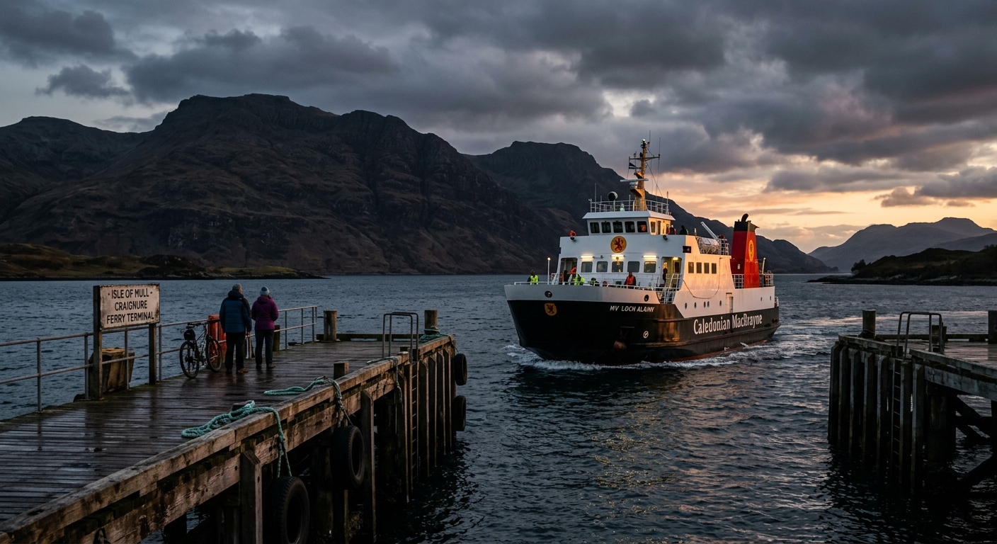
Argyll, Cowal and the Southern Hebrides combine mainland mountains, wooded sea lochs and islands whose hills rise directly from the Atlantic. It is a scattered region, connected as much by ferries and water as by roads.
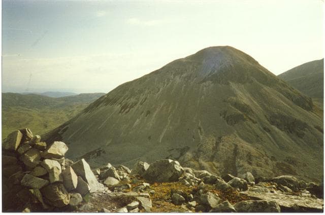
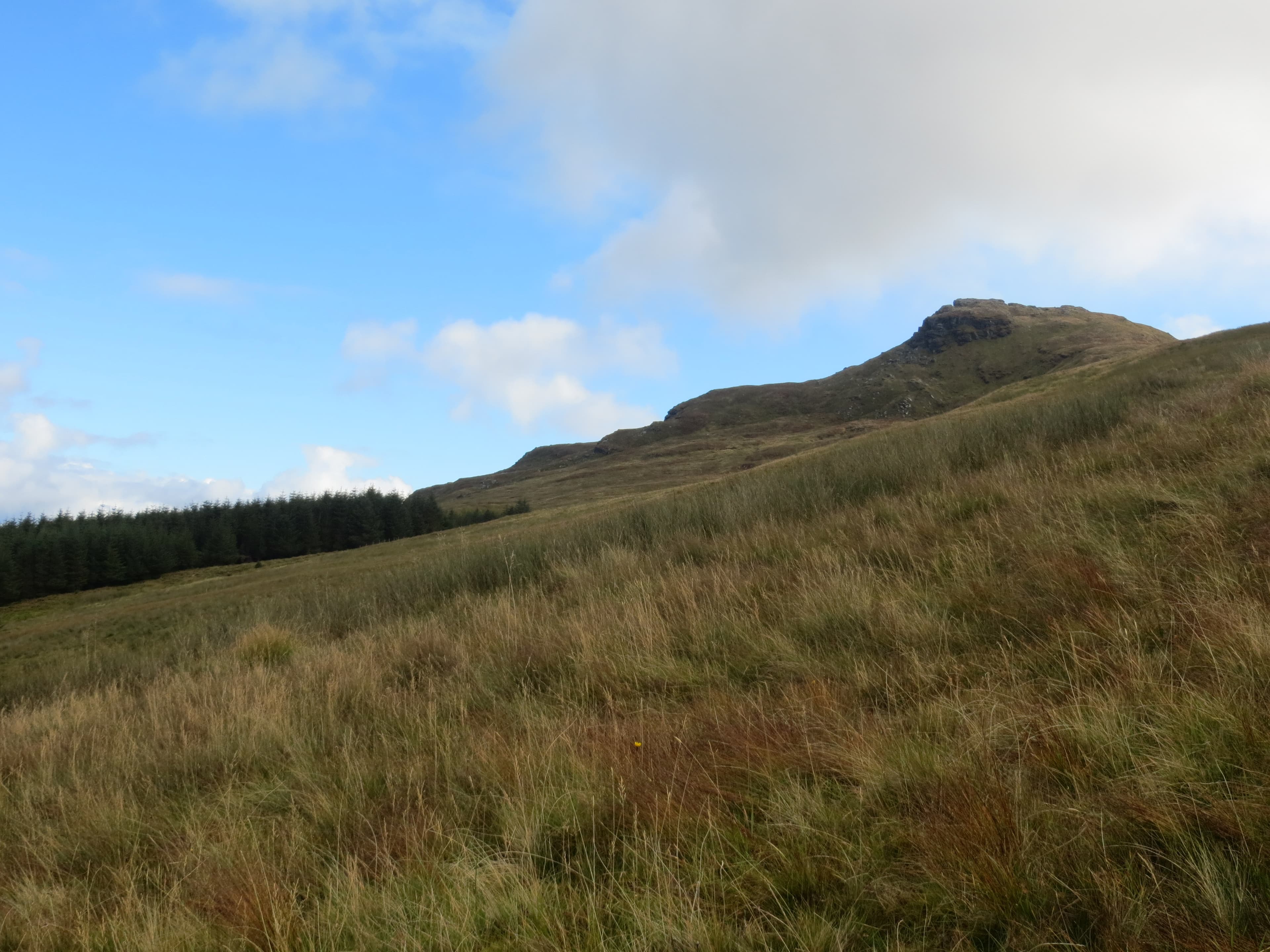
Ben Cruachan forms its mountainous northern anchor. The summit stands above Loch Awe and a vast hydroelectric power station hidden inside the mountain. Farther south, Cowal offers rough Corbetts, quiet Grahams and long approaches through forests and glens. Beinn an Lochain provides a sharp rocky ridge, while Beinn Bheula and Beinn Mhor overlook an intricate coastline of sea lochs and peninsulas.
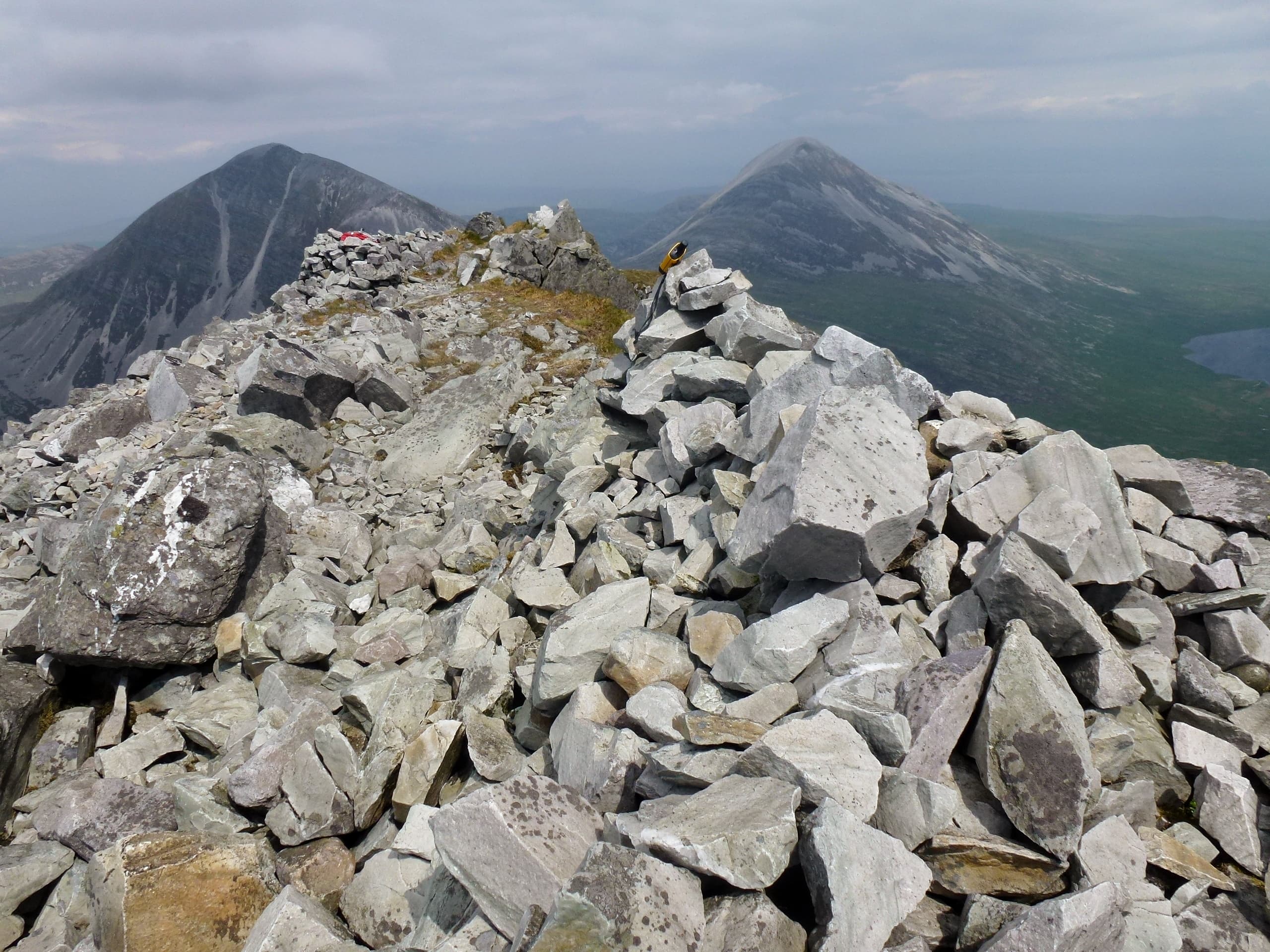
The islands have distinct characters. Jura is dominated by three great quartzite summits known as the Paps. Their full traverse is a demanding day across pathless slopes and loose scree. Islay’s highest point, Beinn Bheigier, rises above the island’s quieter eastern side, while Colonsay offers lower walking through machair, dunes and rocky coastline.
Between the mountains lie Atlantic oakwoods, abandoned settlements, prehistoric sites and exceptionally remote shores. Paths can be faint, the ground frequently wet and ferry timetables may dictate the shape of an entire journey. This is not a single mountain range but a collection of wild landscapes, each separated by water and united by the western weather.
Regional signature
The Hollow Mountain
The Paps of Jura
The Atlantic Woods
Longer days and cooler temperatures suit the Paps of Jura and Cowal’s rougher summits. Bluebells brighten the Atlantic oakwoods before summer growth thickens.
Best for: Island hills and clearer woodland pathsExtended daylight allows time for bigger routes and ferry connections. Midges can be intense in woodland, glens and other sheltered areas.
Best for: Long mountain circuits and island-hoppingArgyll’s oakwoods take on rich autumn colour while the hills become noticeably quieter. Shorter days and reduced ferry services require more planning.
Best for: Woodland colour and quieter summitsSnow and ice can affect the mainland mountains, while Atlantic storms bring strong winds and ferry disruption. Island ridges remain exposed even without snow.
Best for: Experienced walkers and lower coastal routesTrailTrack Favourites
Ten hills chosen by TrailTrack
Continue exploring
Cross the sea lochs, follow the ferries and discover a landscape where every mountain eventually meets the Atlantic.