12 Munros
Britain’s hardest collection
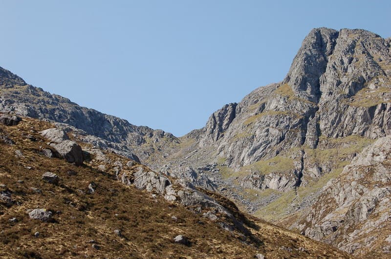
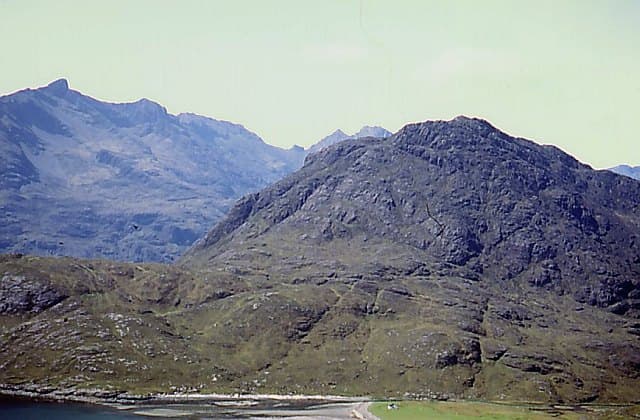
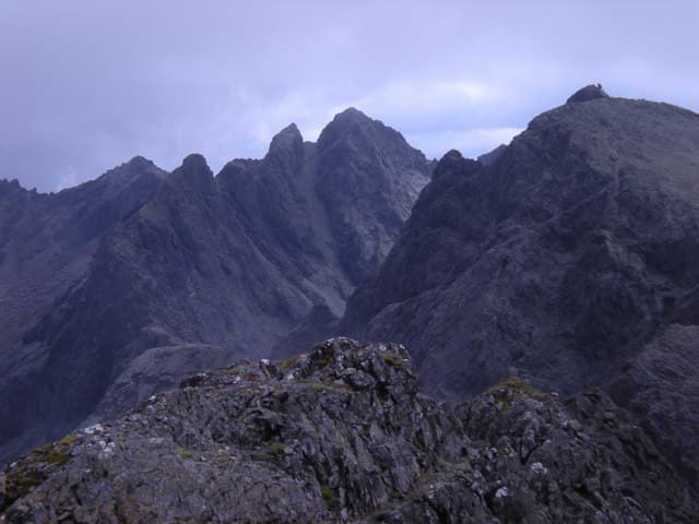
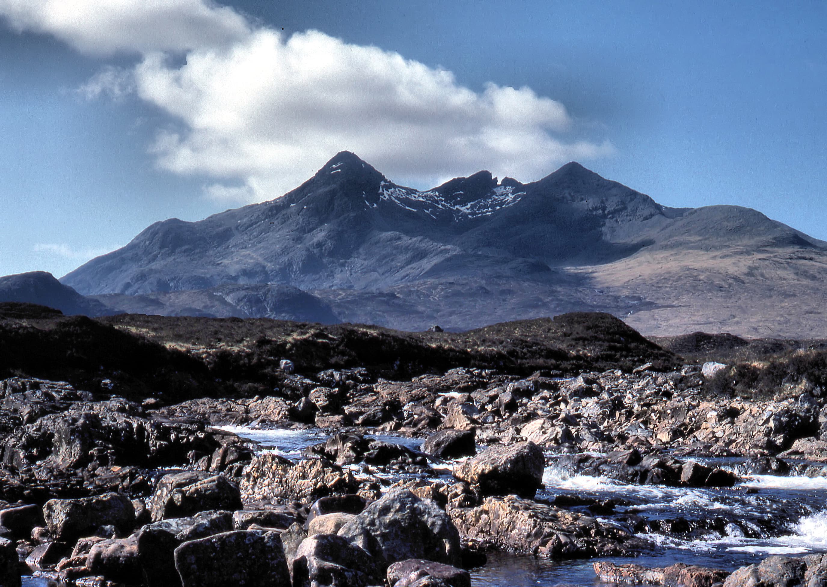
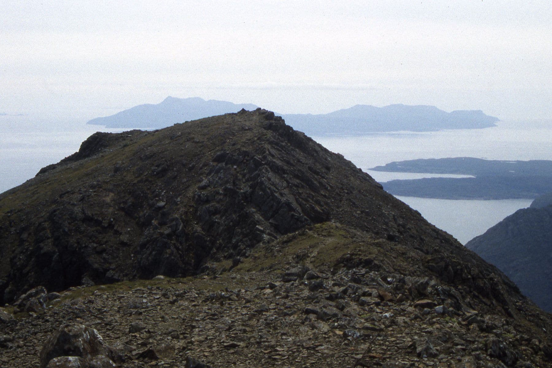
Skye’s Munros involve scrambling, exposed ridges and difficult navigation. Blà Bheinn stands apart, while the other eleven rise along or beside the main Cuillin Ridge.
Region guide
“Skye is 60 miles long, but what might be its breadth is beyond the ingenuity of man to state.”
— W. H. Murray
Highest Peak
Sgùrr Alasdair — 992 metresIsland Area
1,656 km²Cuillin Munro
12Cuillin Ridge
12 kmLongest Walking Route
Skye Trail — 128 kmMain Town
PortreeAbout the region
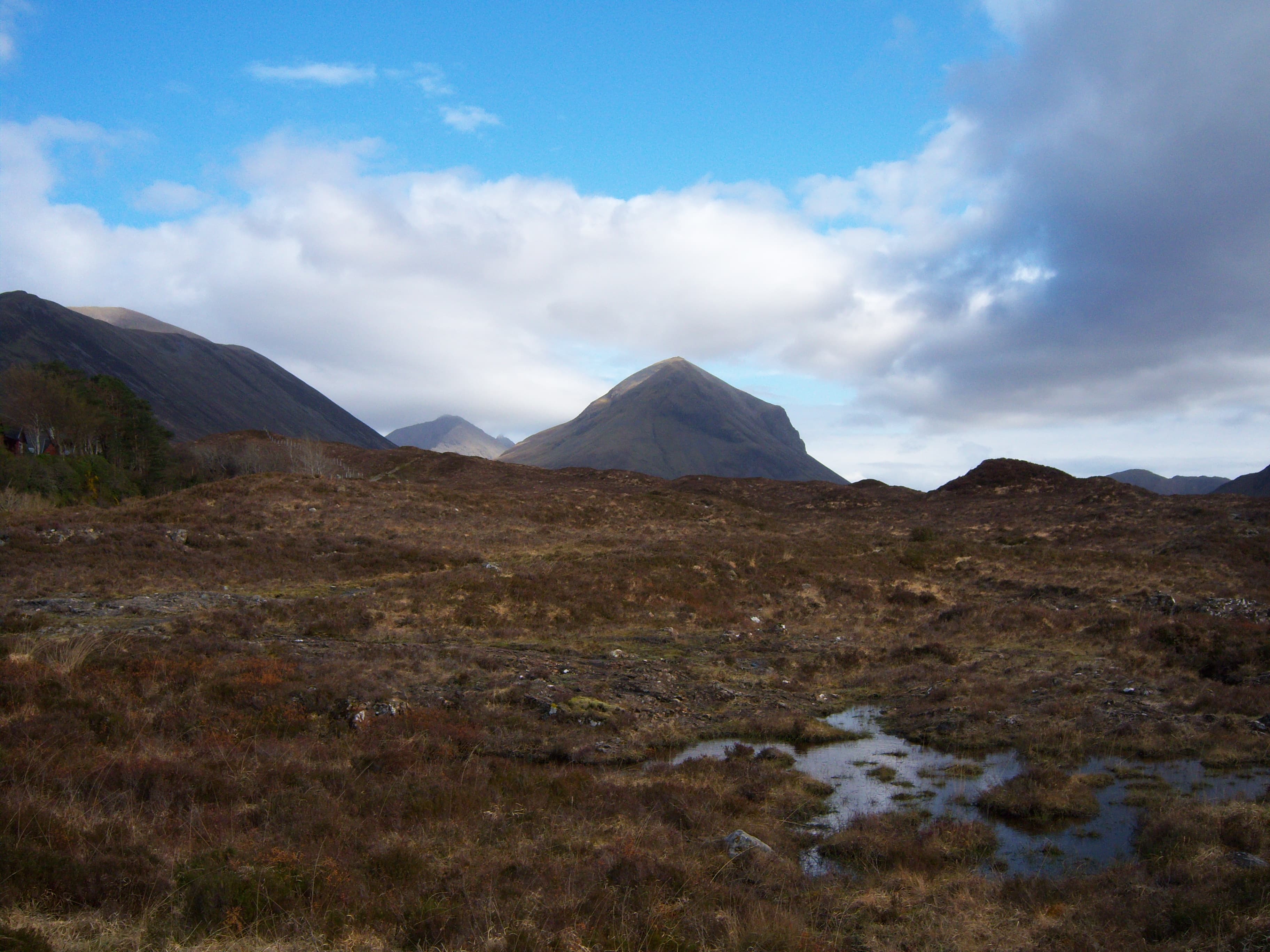
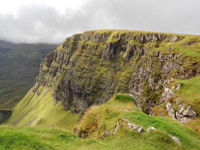
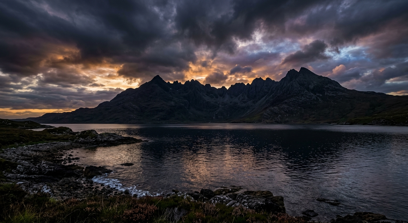
The Isle of Skye packs an unreasonable amount of landscape into one island. The Black Cuillin rise in a line of dark, jagged summits, while the rounded Red Hills, broken coastline and strange rock formations of Trotternish give each part of Skye a character of its own.
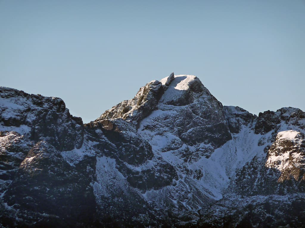
For mountaineers, the Cuillin are the main event. Their narrow ridges, exposed scrambling and complicated route-finding provide challenges rarely encountered elsewhere in Britain. Skye’s 12 Munros include the Inaccessible Pinnacle, the only Munro summit that requires a rock climb. These are mountains where dry rock, good visibility and knowing when to turn around matter rather more than enthusiasm alone.
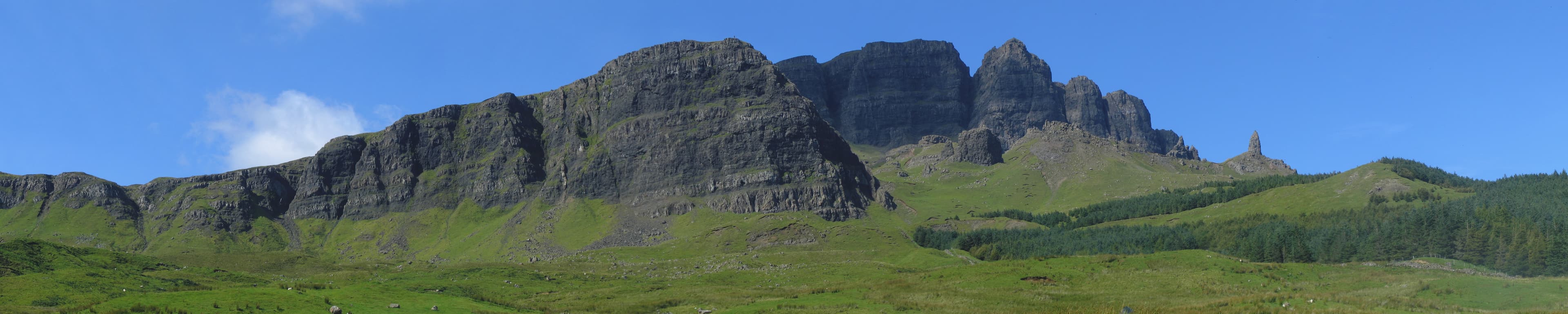
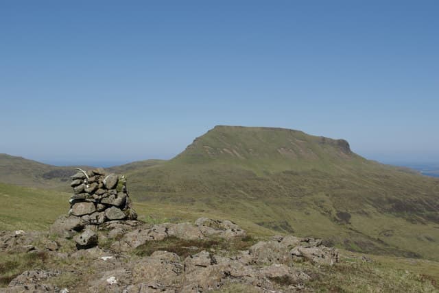
Skye is not solely for climbers. Sgùrr na Strì offers one of Britain’s finest mountain views without reaching Munro height, while the Trotternish Ridge, MacLeod’s Tables and quieter hills around Broadford provide days ranging from short walks to lengthy, pathless crossings. The 128-kilometre Skye Trail links much of the island for those who prefer their scenery spread across several days.
Away from the summits are sea cliffs, hidden beaches, abandoned settlements and freshwater lochs enclosed by rock. Skye can be busy and the weather makes its own arrangements, but walk beyond the familiar viewpoints and the island still feels wonderfully untamed.
Regional signature
12 Munros
12 Kilometres
The In Pinn
Often the best chance of dry, clear weather, with few midges and quieter paths. Snow and ice may remain on the Cuillin well into spring.
Best for: Clear views, quieter hill daysLong daylight suits remote routes, but paths, roads and car parks become busy. Midges thrive in still conditions and wet Cuillin rock demands caution.
Best for: Long walks, coastal routesSeptember can bring excellent mountain days with fewer visitors. Daylight shortens quickly, while Atlantic weather makes dry ridge conditions less dependable.
Best for: Photography, quieter trailsSnow, ice, fierce winds and short days turn the Cuillin into serious mountaineering terrain. Lower hills and coastal walks often provide more sensible alternatives.
Best for: Experienced winter mountaineersTrailTrack Favourites
Ten hills chosen by TrailTrack
Continue exploring
From the sharp ridges of the Cuillin to the strange landscapes of Trotternish, find your next walk across Scotland’s most dramatic island.