The High Southwest
Ireland’s greatest mountains
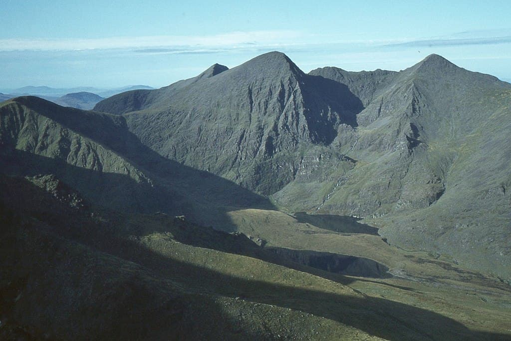
MacGillycuddy’s Reeks contain the country’s three highest summits, linked by sharp ridges, steep gullies and the demanding Coomloughra Horseshoe.
Region guide
“The mountains of Ireland are often broad, bleak, boggy, rocky and pathless.”
— Paddy Dillon, outdoor writer and guidebook author who climbed every distinct Irish mountain summit above 2,000 feet while researching The Mountains of Ireland
Highest Mountain
Carrauntoohil — 1,038mPeaks Above 3,000ft
12National Parks
EightNational Waymarked Trails
43Longest Waymarked Trail
Kerry Way — 214kmHighest Sea Cliffs
Croaghaun — 688mAbout the region
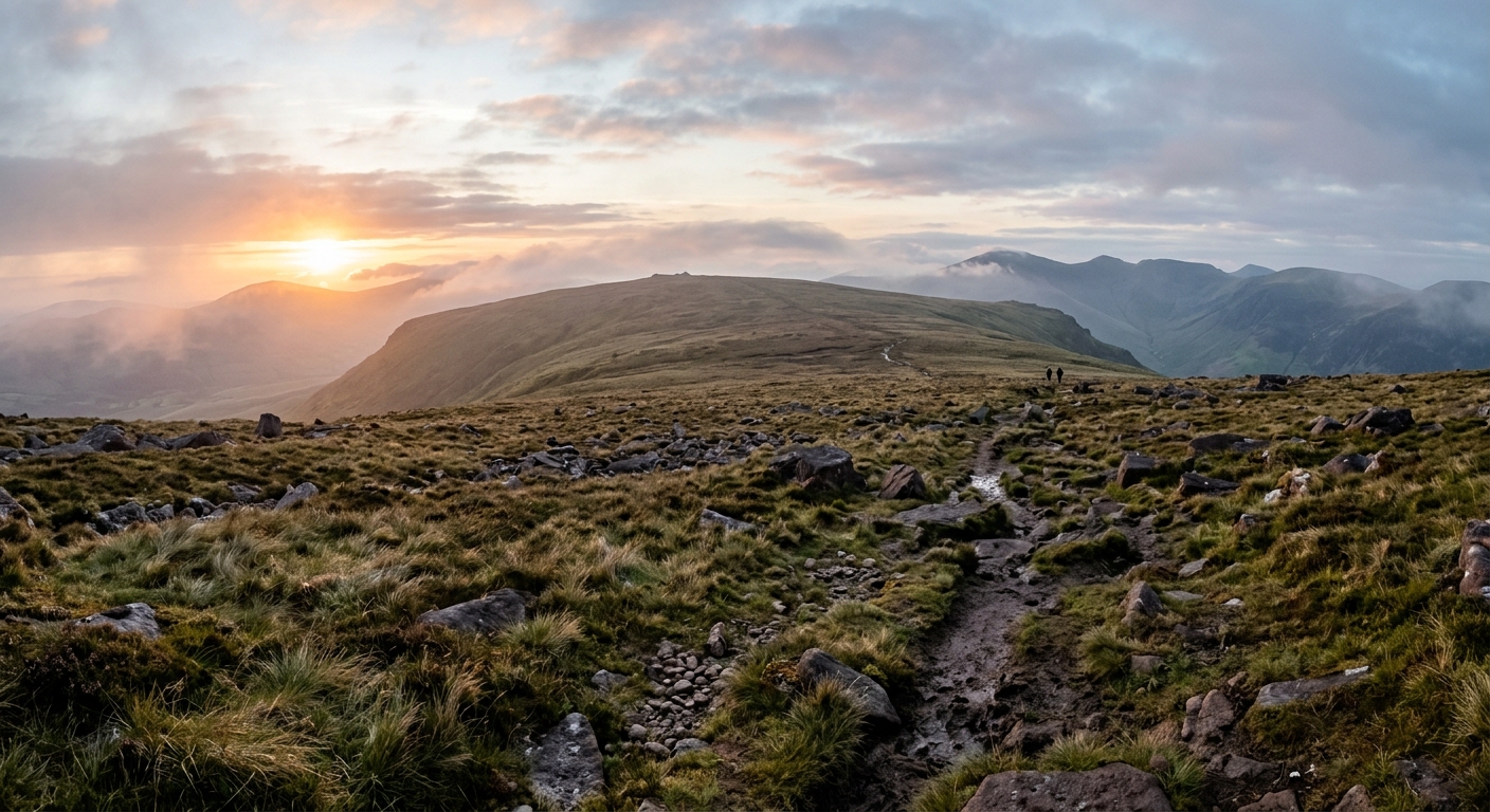
The Republic of Ireland’s mountains gather mainly around its western and southern edges, where broken ridges rise above Atlantic bays, deep glens and extensive blanket bog. County Kerry contains the greatest concentration of high ground, including Carrauntoohil and the narrow ridges of MacGillycuddy’s Reeks. Nearby, Brandon Mountain overlooks the Dingle Peninsula from a summit reached by an ancient pilgrimage route.
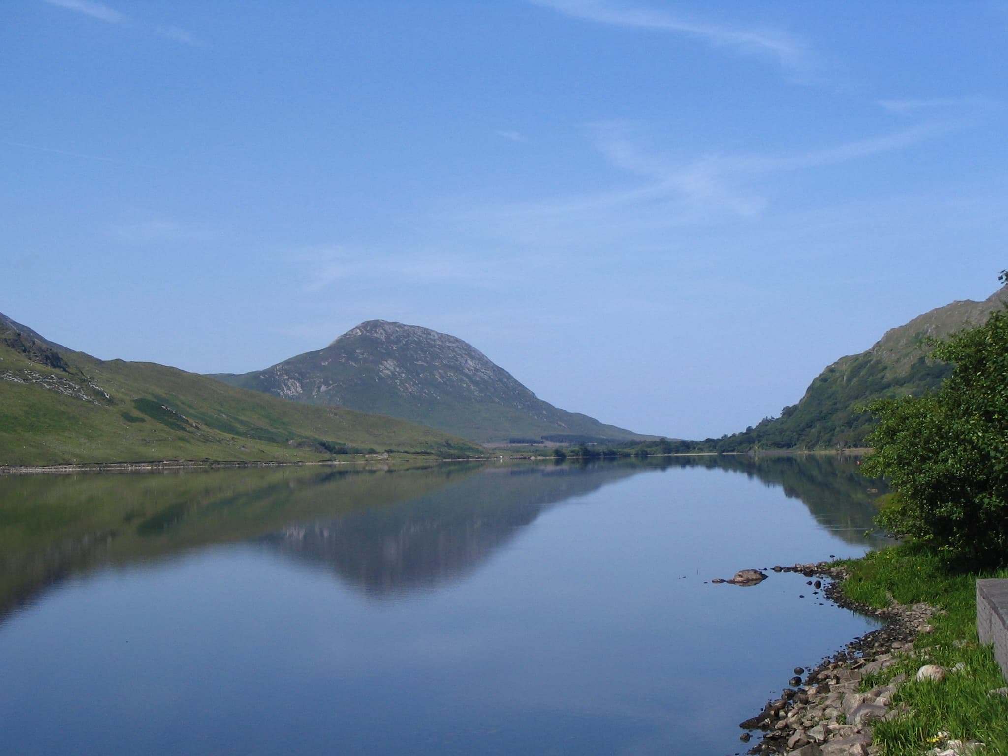
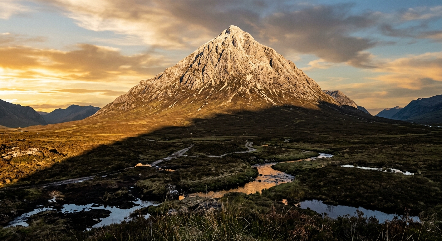
Connemara and Mayo offer a rougher, wetter kind of walking. The Twelve Bens form a compact maze of quartzite peaks, while Mweelrea rises above Killary Harbour and Croaghaun falls directly towards the Atlantic from Achill Island. Farther north, Errigal stands apart from the surrounding Donegal landscape as a steep pyramid of pale quartzite.
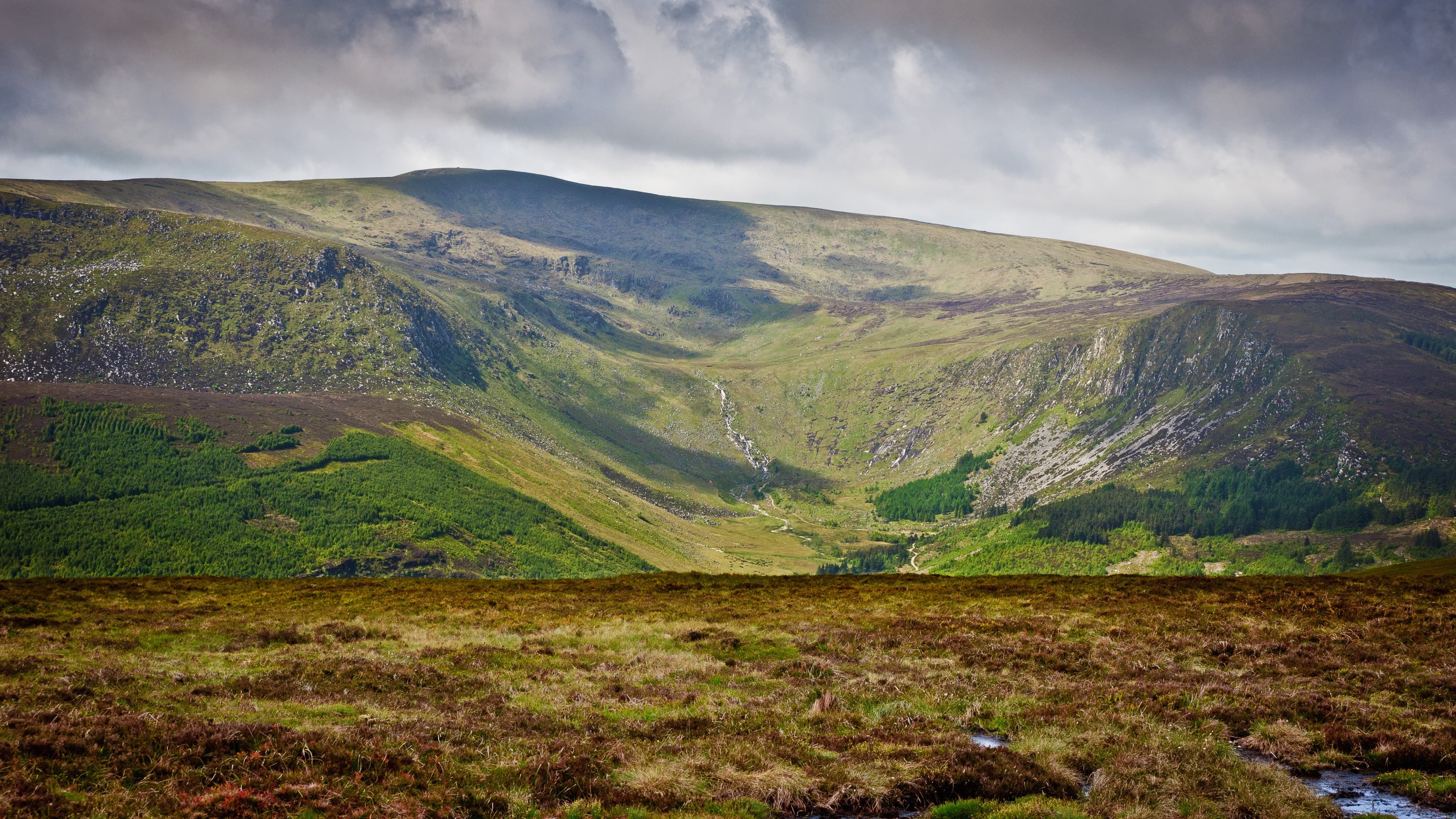
The Wicklow Mountains provide broad granite ridges, glacial valleys and accessible walking south of Dublin. Elsewhere, the Galtees, Comeraghs and Slieve Blooms offer substantial days without the attention given to the better-known western ranges.
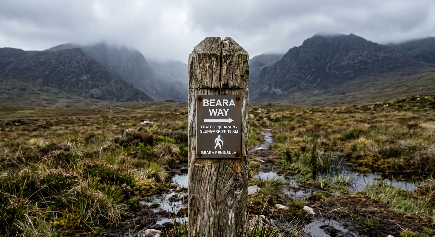
Long-distance routes include the Wicklow Way, Kerry Way, Dingle Way and Beara Way. These are generally waymarked, but summit routes frequently are not. Private ownership, peat, rapidly changing weather and faint paths all require careful planning.
Ireland’s mountains seldom provide easy walking simply because they are not especially high. The bog usually sees to that.
Regional signature
The High Southwest
The Wild Atlantic Ranges
The Waymarked Tradition
Lengthening days provide better opportunities for longer summit routes. Peat remains wet after winter, but clearer weather windows become more frequent.
Best for: Quieter mountains and improving groundLong daylight suits the Reeks, Twelve Bens and multi-day routes. Popular mountains become busy, although extensive stretches of the western uplands remain quiet.
Best for: High ridges and long-distance trailsCooler air can bring excellent visibility across the western mountains. Shorter days and increasingly unsettled weather require more careful route timing.
Best for: Clear Atlantic views and moorland colourSnow is irregular but ice, strong winds and prolonged rain can make the mountains serious. Waterlogged peat and swollen streams frequently complicate approaches.
Best for: Experienced walkers and lower-level routesTrailTrack Favourites
Ten hills chosen by TrailTrack
Choose an area
Open a regional guide for walking highlights, local knowledge and TrailTrack favourites.
Continue exploring
From narrow Kerry ridges to empty Donegal summits, Ireland rewards walkers who do not mind a little peat, weather or uncertainty underfoot.