1932
The Mass Trespass
Hundreds of walkers gathered at Bowden Bridge and headed towards Kinder Scout, openly challenging restrictions that kept ordinary people from the moors.
Region guide
“Kinder Scout, the highest point in the Peak, is as much a spirit as a mountain.”
— Roly Smith, Peak District Author
Highest Point
Kinder Scout — 636mNational Park Area
1,438 km²National Park Status
Britain’s first — designated in 1951Great National Trail
The Pennine WayDeepest Cave Shaft
Titan — 141.5mCounties Covered
Derbyshire, Cheshire, Staffordshire, Yorkshire and Greater ManchesterAbout the region
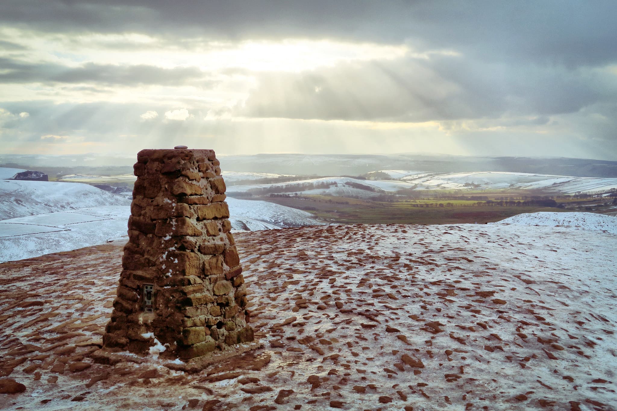
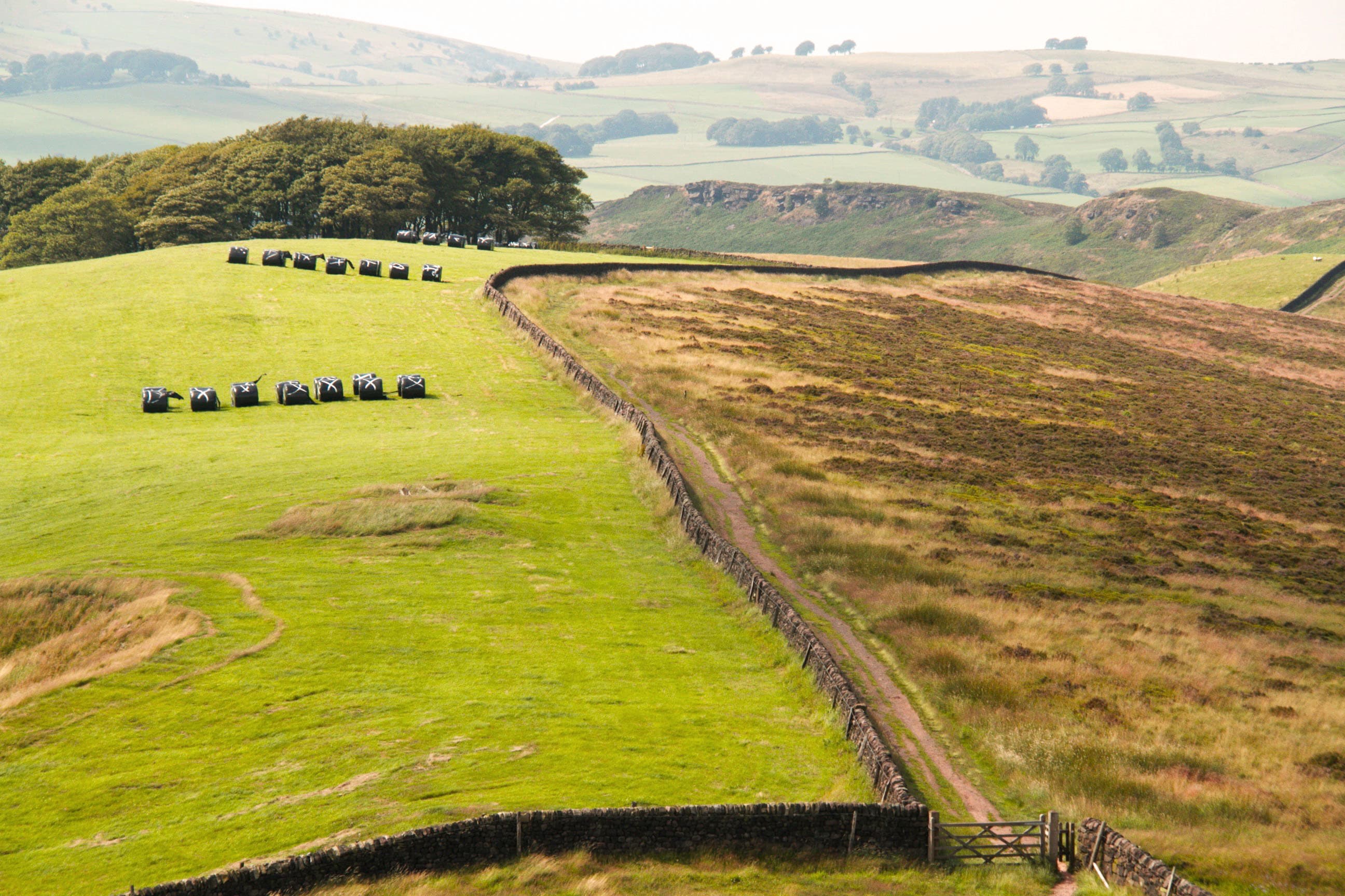
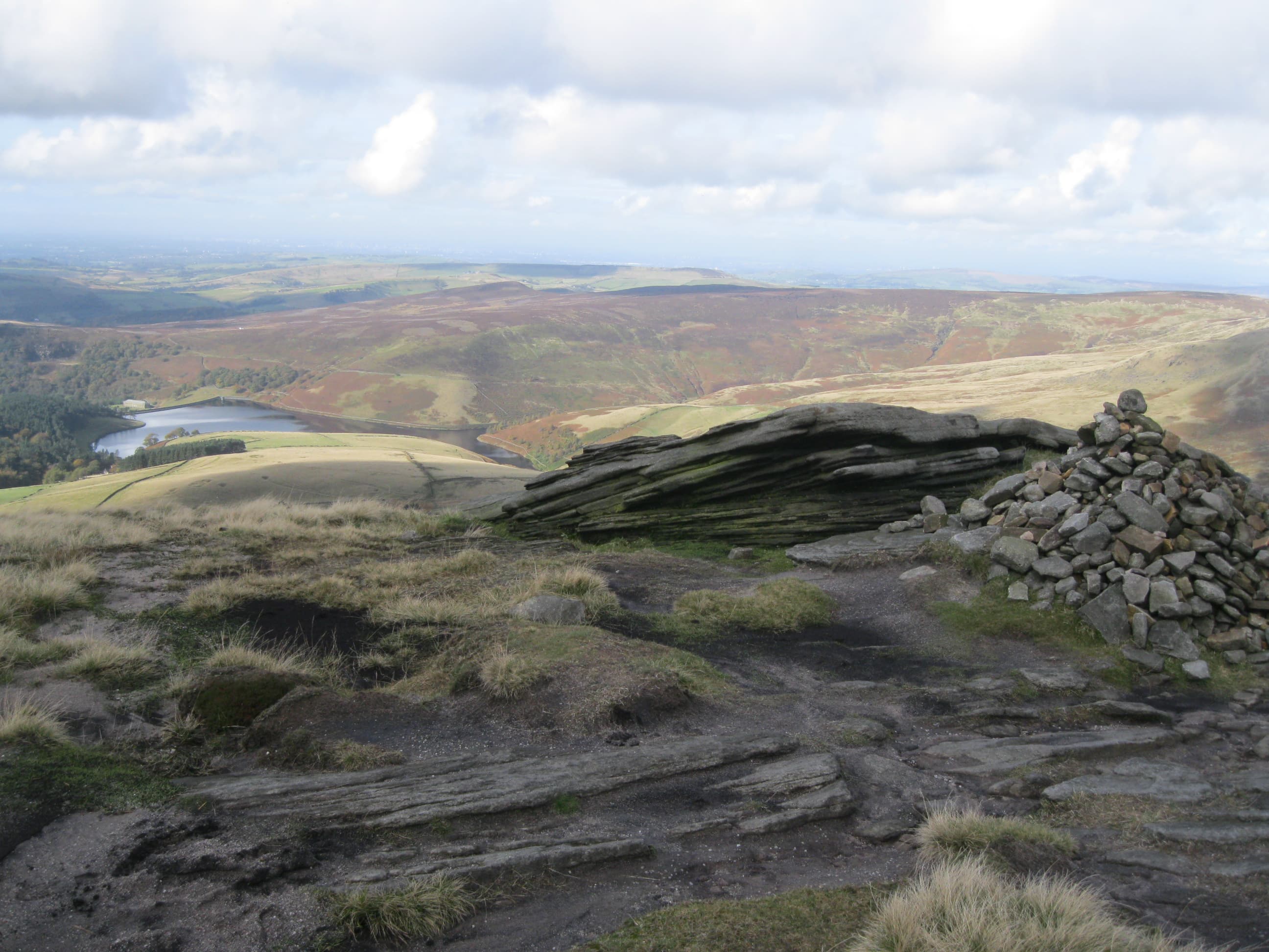
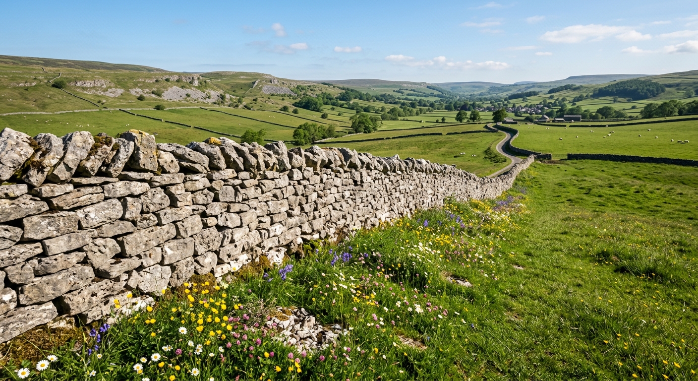
Britain’s first national park is a landscape of two distinct halves. To the north, the Dark Peak rises into broad gritstone moors, broken by rocky edges, deep cloughs and peat-covered plateaux. To the south, the White Peak softens into limestone dales, green pastures, dry-stone walls and clear rivers winding beneath wooded slopes.
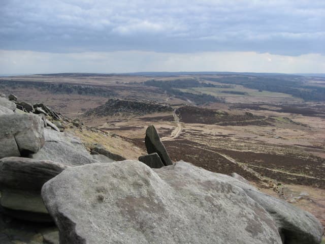
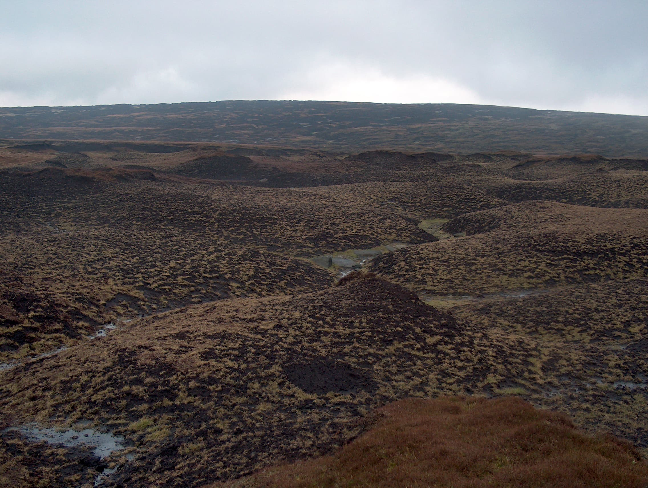
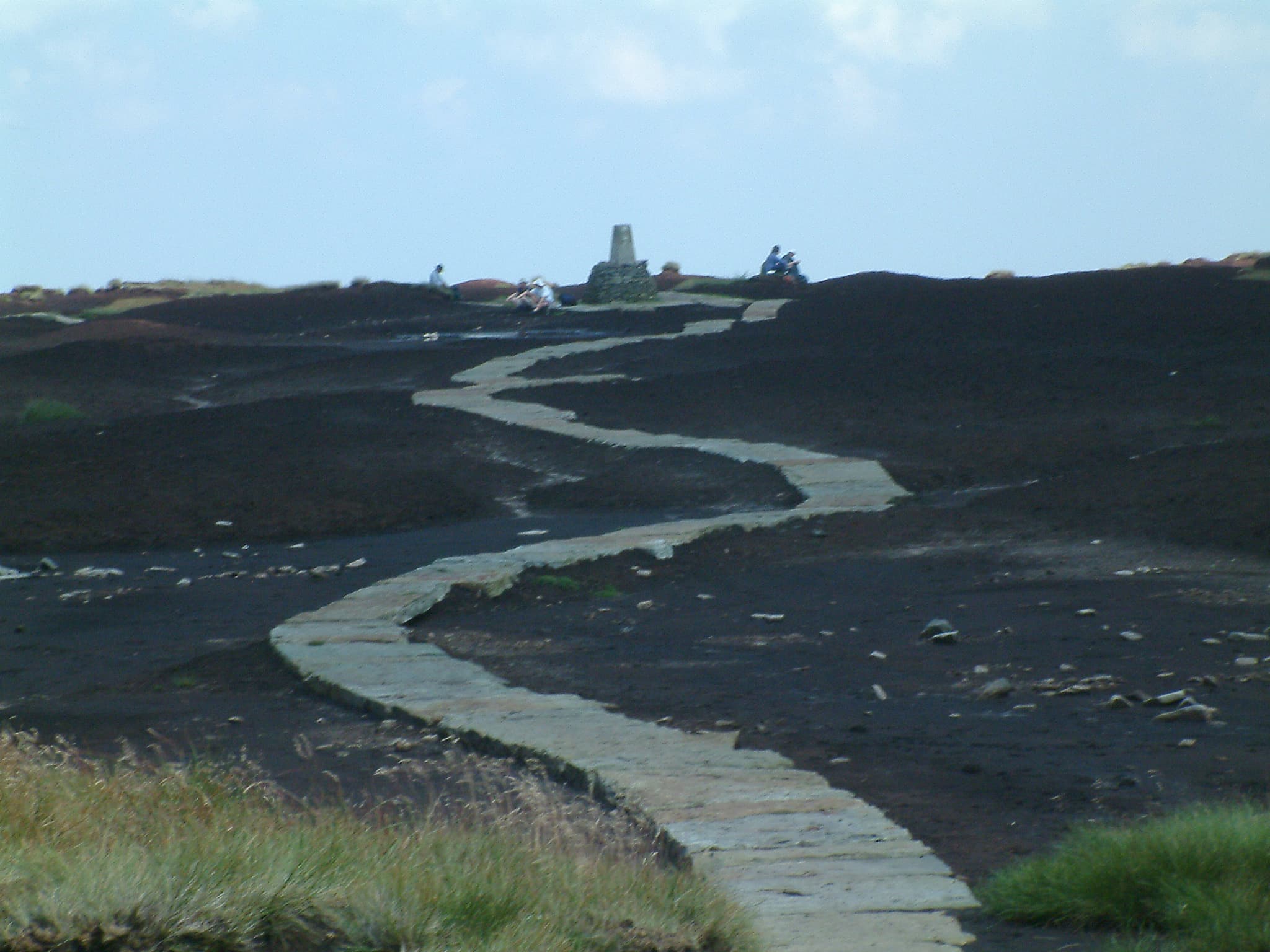
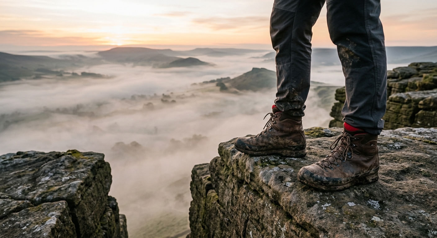
Kinder Scout and Bleaklow provide the wildest walking. Their open moorland can feel remarkably remote, particularly when cloud settles across the plateau and the paths disappear into peat. Around Stanage, Froggatt and the Roaches, great gritstone edges offer shorter walks with expansive views and some of Britain’s finest climbing.
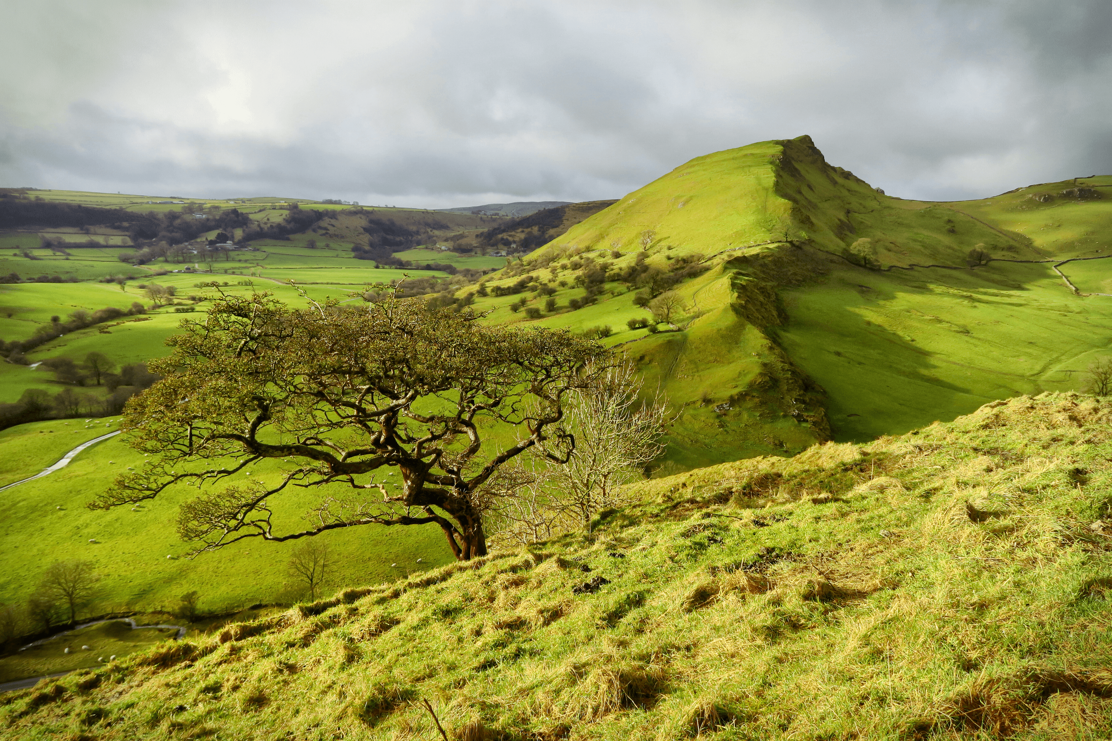
The limestone country brings a different character entirely. Trails pass through dramatic valleys such as Dovedale, Monsal Dale and Cave Dale, linking old villages, historic halls, abandoned railways and remnants of the region’s mining past.
The Peak District is accessible, but never entirely tame. Step beyond its famous viewpoints and you will find quiet moorland, hidden valleys and paths shaped by generations of walkers. This is where Britain’s modern access movement gathered momentum — a landscape made for exploring freely, responsibly and on foot.
Regional signature
1932
A Wider Movement
1951
Limestone dales fill with wildflowers while the high moors gradually dry out. Weather remains changeable, and peat paths can still be extremely wet.
Best for: Wildflowers, quieter dalesLong days suit extended routes across Kinder and Bleaklow. Popular valleys become busy, while late summer brings purple heather to the moors.
Best for: Long walks, gritstone edgesWoodland colours transform the limestone dales and crowds begin to thin. Mist and shorter daylight can make the high plateaux much harder to navigate.
Best for: Photography, woodland walksSnow, ice and strong winds can create serious conditions on exposed moorland. Lower-level dales remain inviting, although limestone paths become slippery.
Best for: Experienced walkers, crisp valley routesTrailTrack Favourites
Ten hills chosen by TrailTrack
Explore TrailTrack guides, collections and hiking route guides for this region.
Explore the collectionPeak District Regional LibraryThe Peak District's gritstone edges and limestone dales come with proper hiking routes, downloadable GPX files, and the fascinating story of how this became Britain's first National Park and birthplace of the right to roam.Open the regional libraryContinue exploring
From wild gritstone moors to hidden limestone dales, your next Peak District trail is waiting.