The Harris Mountains
Rocky northern ridges
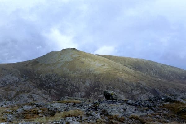
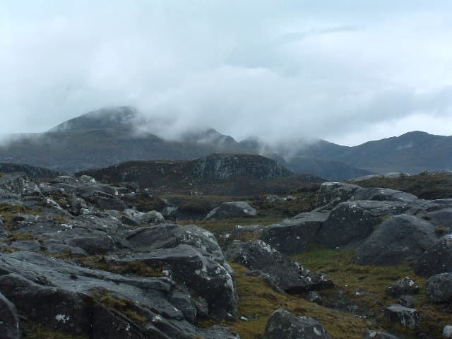
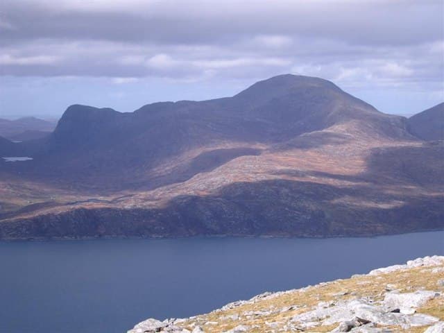
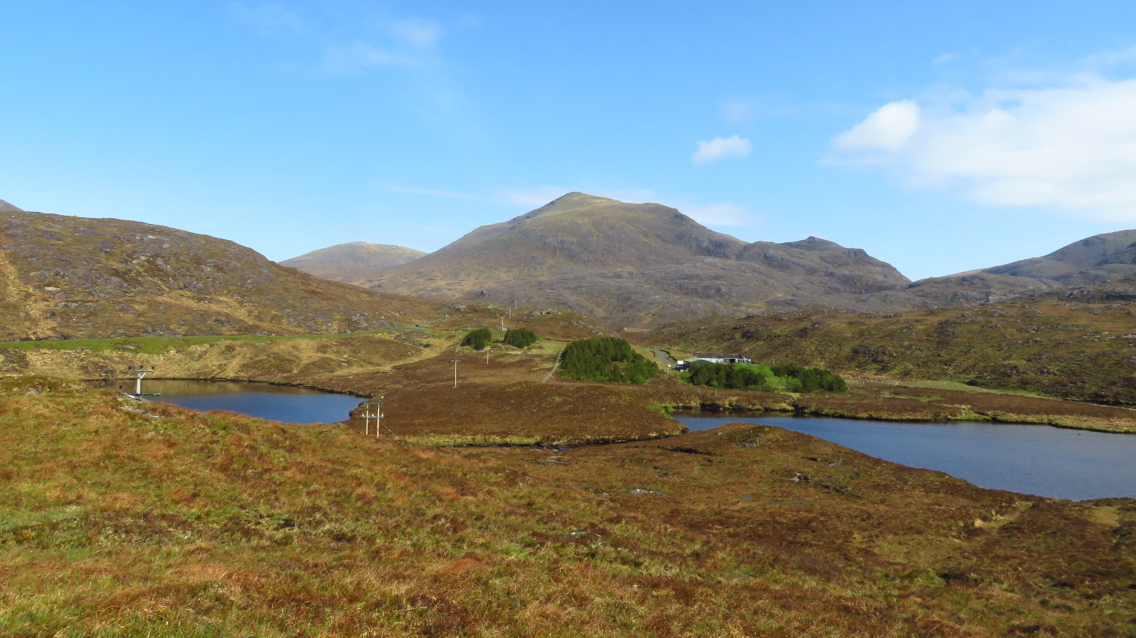
Clisham, Tiorga Mor, Uisgneabhal Mor and Oireabhal form the wild mountain heart of the islands, with rough approaches and uninterrupted Atlantic views.
Region guide
“In spite of hail and snow and the furious whirlwinds, I made my way to the summit, where I enjoyed a very sublime spectacle”
— William MacGillivray, Scottish naturalist and explorer
Highest Peak
Clisham — 799mCorbett Count
OneClassic Mountain Circuit
Clisham Horseshoe — 14kmLong-Distance Trail
Hebridean Way — 252kmMost Westerly British Mountain
Beinn Mhor — 620mOldest Bedrock
Lewisian Gneiss — Up to 3 Billion YearsAbout the region
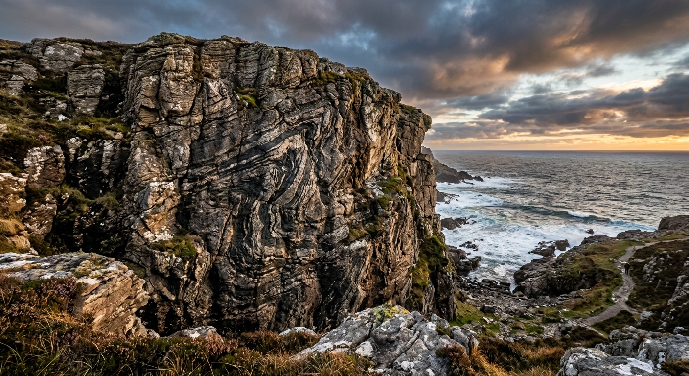
The Outer Hebrides form a 200km chain of mountains, moorland, lochs and Atlantic coastline. Although the summits are lower than those on the mainland, many begin close to sea level and stand completely exposed to the weather. A modest height here rarely guarantees a modest day.
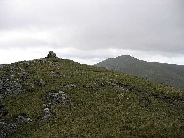
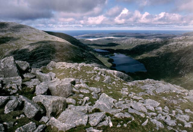
North Harris contains the highest and most rugged mountains. Clisham reaches 799m, but the complete horseshoe reveals far more of its character, crossing rocky ridges above an intricate landscape of sea lochs and islands. Nearby, Tiorga Mor, Uisgneabhal Mor and Oireabhal offer quieter routes through some of Scotland’s wildest coastal mountain country.
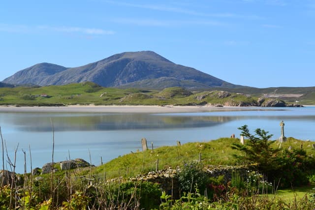
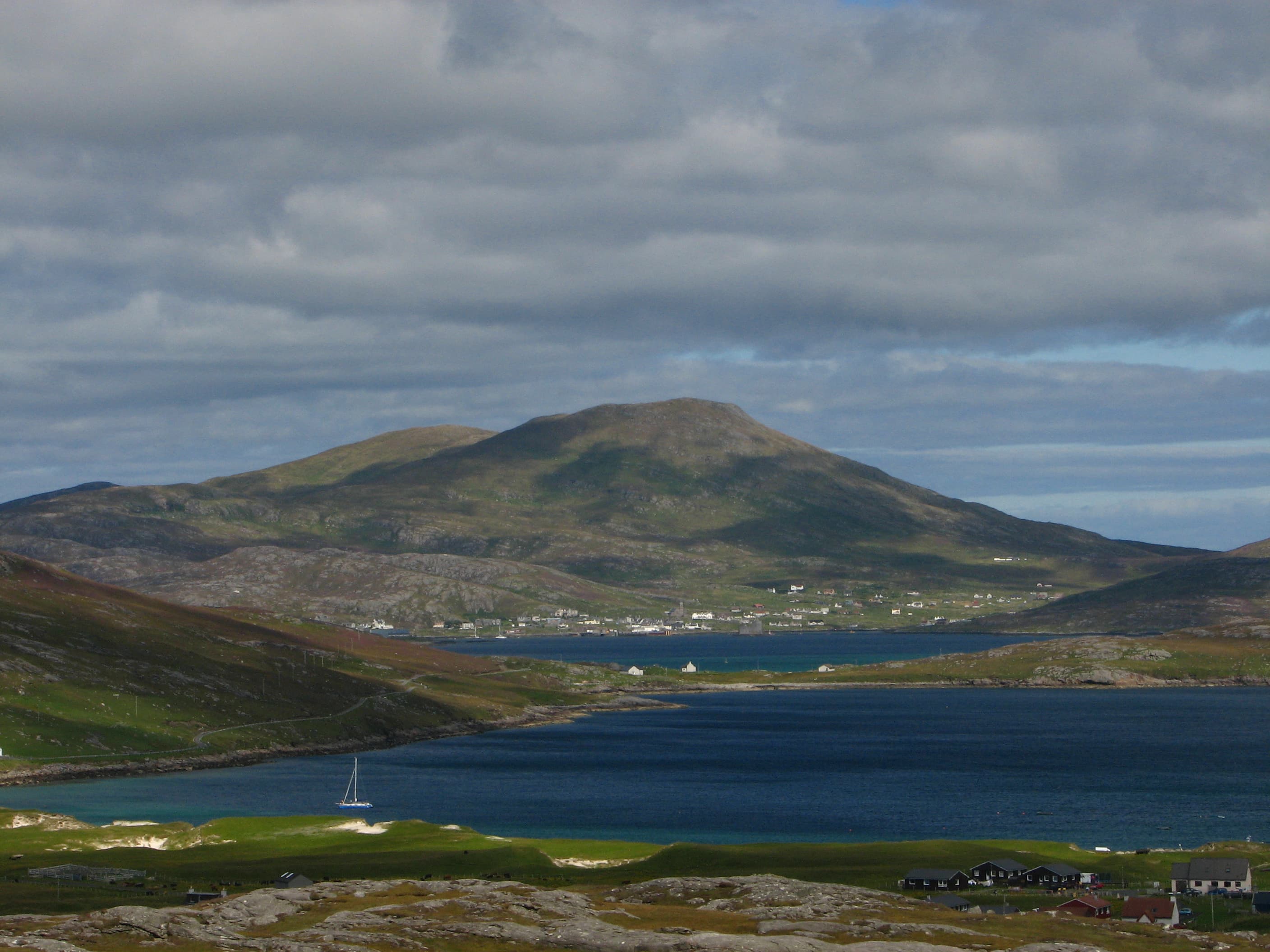
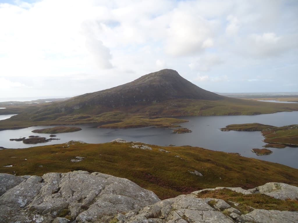
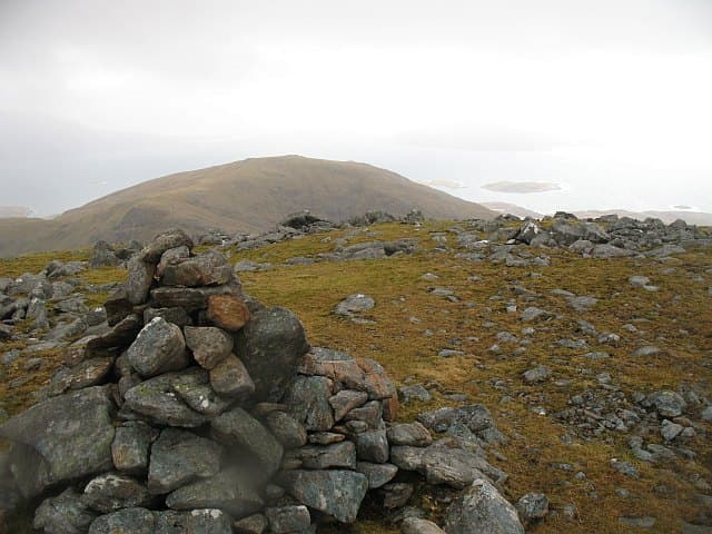
Farther south, the Uists present a striking divide. White beaches, dunes and flower-rich machair line the west, while rough hills rise along the eastern coast. Beinn Mhor, Thacla and Beinn Corradail form South Uist’s finest mountain traverse. On North Uist, isolated Eaval rises from a maze of water and bog, appearing considerably larger than its 347m height suggests.
The Hebridean Way links the islands from Vatersay to Lewis using old paths, moorland tracks, causeways and ferries. Wherever you walk, the Atlantic remains part of the landscape: shaping the weather, opening immense views and ensuring that no summit feels entirely separated from the sea.
Regional signature
The Harris Mountains
The Hebridean Way
The Uist Divide
Lengthening days and cooler temperatures suit the longer Harris routes. Conditions are often clearer, while midges have yet to reach their summer numbers.
Best for: Mountain walking and quieter trailsVery long daylight allows flexible walking days and ferry connections are more frequent. Expect busier accommodation and midges on calm, sheltered ground.
Best for: The Hebridean Way and island-hoppingEarly autumn can bring crisp visibility and fewer visitors. Stronger winds, shorter days and reduced transport services become increasingly likely later in the season.
Best for: Clear Atlantic views and quieter islandsAtlantic storms, saturated ground and limited daylight can make even lower hills demanding. Snow and ice may affect the Harris mountains.
Best for: Experienced walkers and shorter coastal routesTrailTrack Favourites
Ten hills chosen by TrailTrack
Continue exploring
From the ridges of Harris to the water-bound hills of Uist, every Outer Hebridean summit begins and ends with the Atlantic.