The Border Ridge
Two countries underfoot
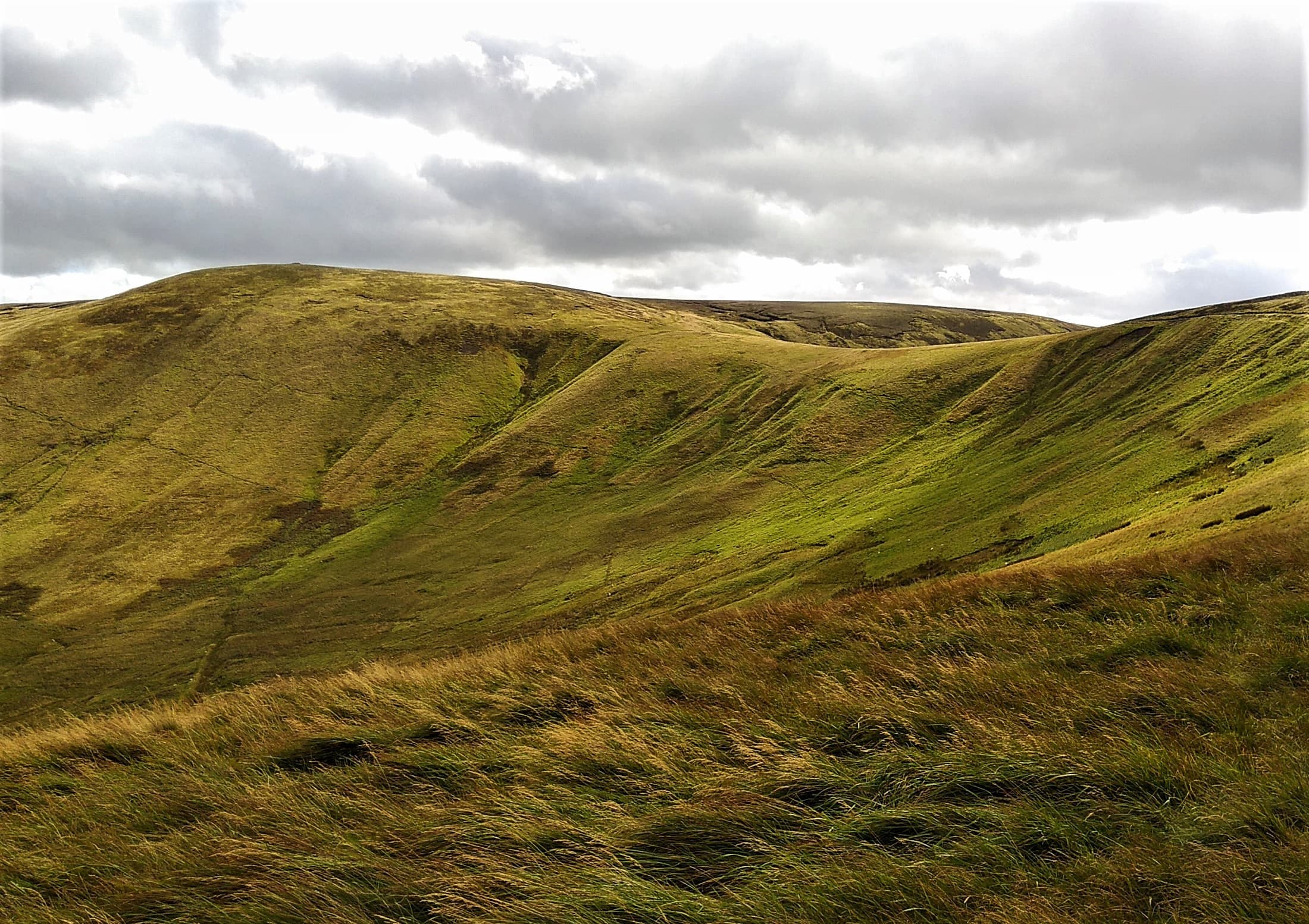
A high, exposed route where England meets Scotland, carrying the Pennine Way across Windy Gyle, Lamb Hill and the lonely Cheviot watershed.
Region guide
“I would rather be herding sheep on Mickley bank top than to remain in London…”
— Thomas Bewick
Highest Point
The Cheviot — 815mQuietest National Park
Around two people per square kilometreDark Sky Park
1,483km² — Europe’s largest protected night skyCoast Path
62 miles from Cresswell to BerwickRoman Frontier
Hadrian’s Wall — 73 miles from coast to coastCastle Count
More than 70 sites — the most of any English countyAbout the region
Northumberland is a region of broad horizons, empty hills and paths that often feel far removed from the rest of England. The Cheviots form its wild northern backbone, with rounded summits, deep valleys and a high border ridge shared with Scotland. These are not technically difficult mountains, but long approaches, peat and rapidly changing weather give them a properly remote character.
Further south, the landscape changes around Hadrian’s Wall. Here the hard Whin Sill rock creates a natural line of crags, carrying the Roman frontier above rough grassland, hidden lakes and some of the finest walking country in northern England.
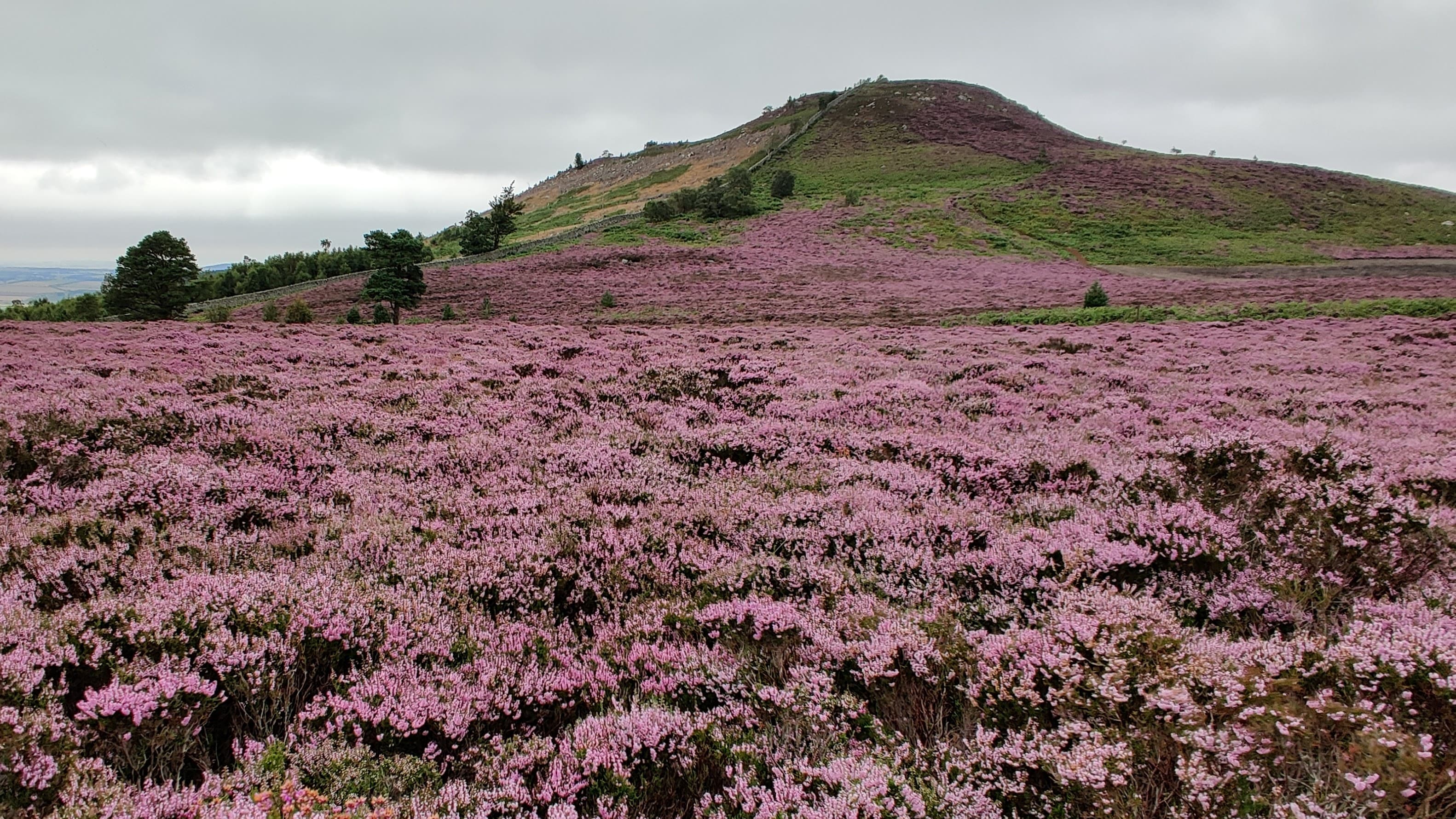
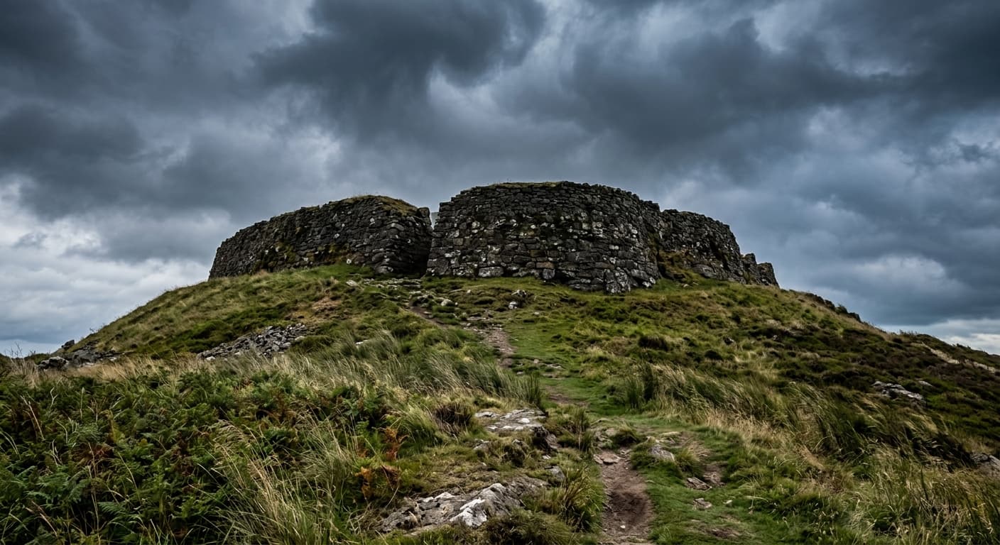
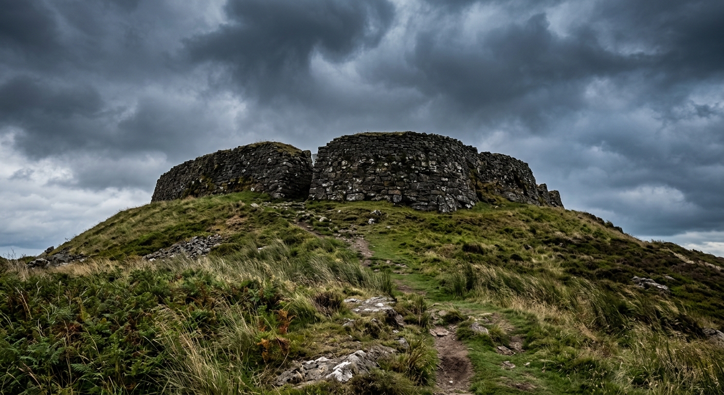
The Simonside Hills provide something different again: sandstone ridges, heather moorland and woodland overlooking the Coquet Valley. Lower hills such as Yeavering Bell and Humbleton Hill hold the remains of Iron Age settlements, border battles and communities that occupied these heights long before walkers arrived with laminated maps.
Eastwards, Northumberland meets the sea through dunes, tidal causeways, sandy beaches and ruined castles. Routes can follow the coast towards Bamburgh, Dunstanburgh and Holy Island, usually with considerably less climbing but rather more attention to tide tables.
It is a remarkably varied walking region — and one where finding a quiet path rarely requires much effort.
Regional signature
The Border Ridge
The Whin Sill
St Cuthbert’s Way
The valleys begin to brighten while lambs and ground-nesting birds return to the uplands. Higher Cheviot routes can remain wet and cold well into spring.
Best for: Waterfalls, woodland and quieter hillfortsLong daylight suits remote Cheviot circuits and extended border walks. Coastal villages become busy, but the inland hills rarely feel crowded.
Best for: Long hill days and coastal walkingThe Simonside Hills and Cheviot valleys take on their autumn colour. Cooler conditions suit longer climbs, although daylight disappears surprisingly quickly.
Best for: Heather, woodland colour and clear viewsSnow and ice can transform the Cheviots, while strong winds make the border ridge particularly exposed. Clear nights reveal some of England’s darkest skies.
Best for: Experienced walkers and dark-sky tripsTrailTrack Favourites
Ten hills chosen by TrailTrack
Continue exploring
Follow the old frontier into hills where the views are wide, the history runs deep and the next walker may be several valleys away.