The Granite Kingdom
The Mourne Mountains
Sharp summits, rocky tors and high passes rise behind the County Down coast, with the Mourne Wall linking many of the range’s most memorable peaks.
Region guide
“At any moment a giant might raise his head over the next ridge.”
— C. S. Lewis, Belfast-born author, describing how the Mourne Mountains helped inspire Narnia
Highest Mountain
Slieve Donard — 850mMourne Wall
35km Across 15 SummitsLongest Trail
Ulster Way — Over 1,000kmCauseway Coast Way
51kmLargest Lake
Lough Neagh — 392km²Giant’s Causeway
Around 40,000 Basalt ColumnsAbout the region
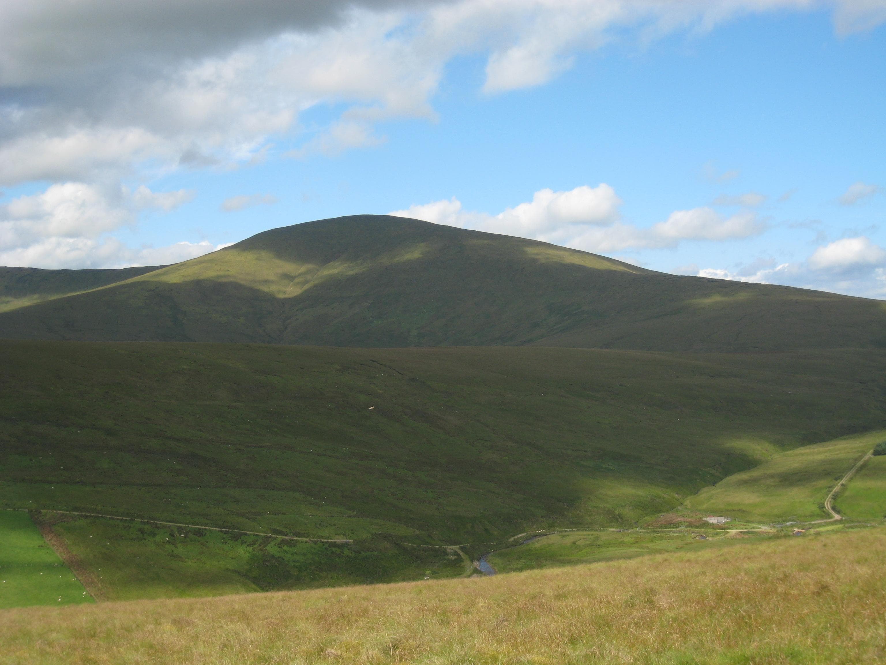
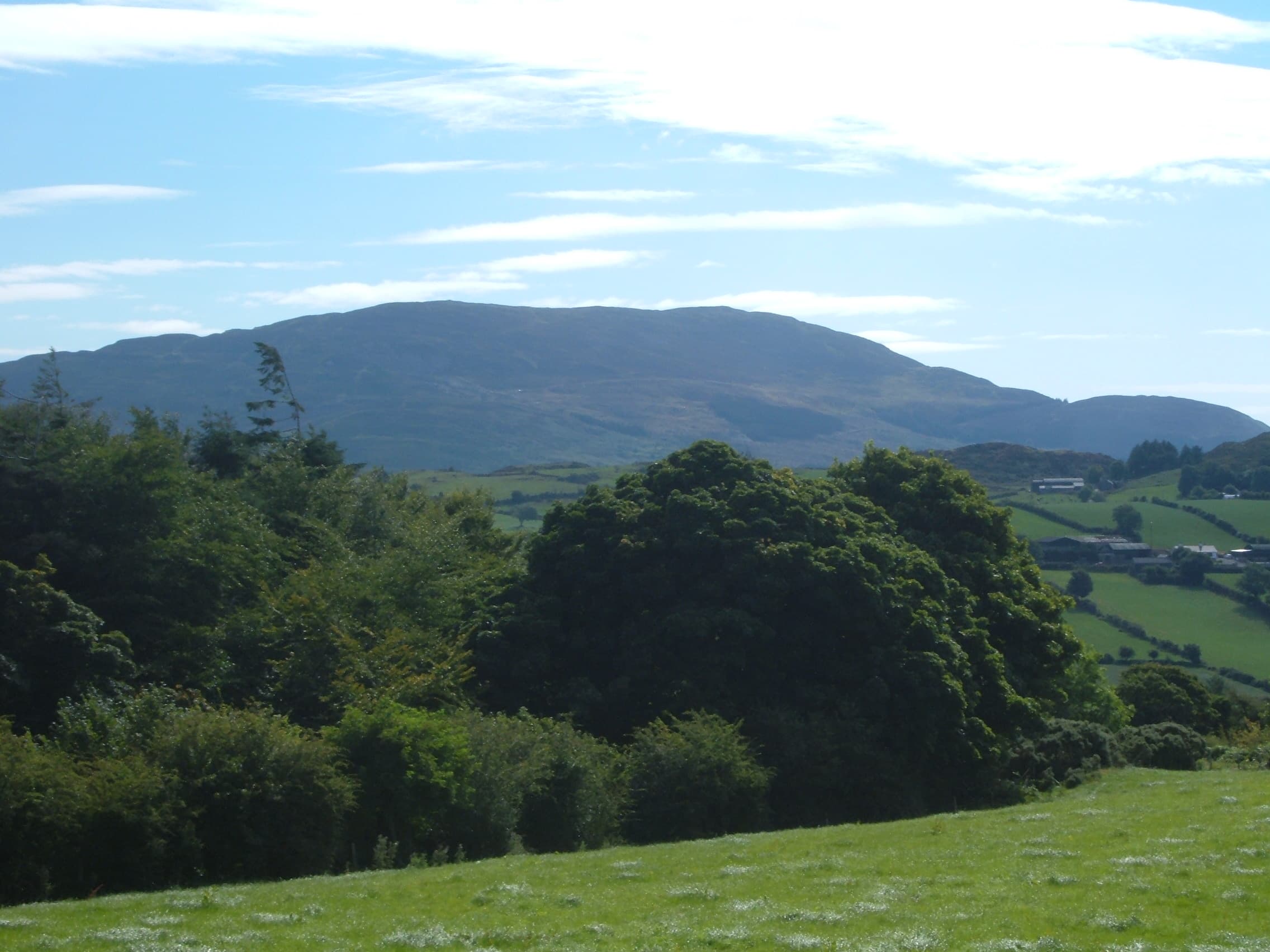
Northern Ireland’s finest walking reaches far beyond the familiar summit of Slieve Donard. The Mourne Mountains form its dramatic southeastern corner, where compact granite peaks rise sharply between the sea and Silent Valley. The Mourne Wall crosses much of the range, providing a memorable thread through high summits, rocky tors and deep mountain passes.
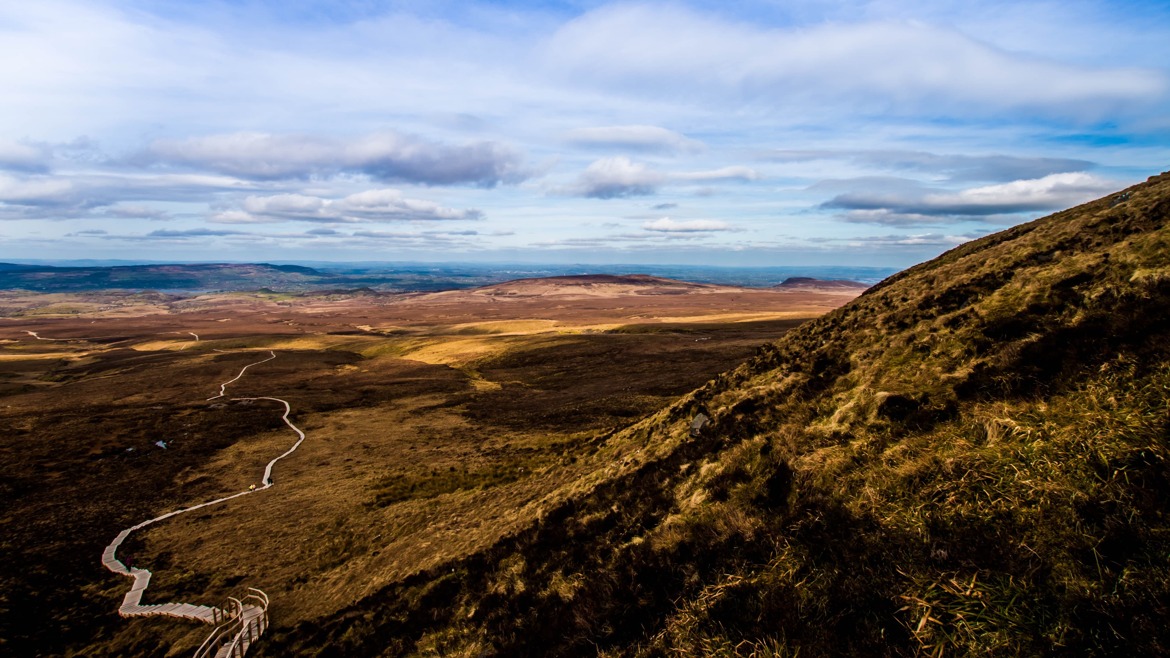
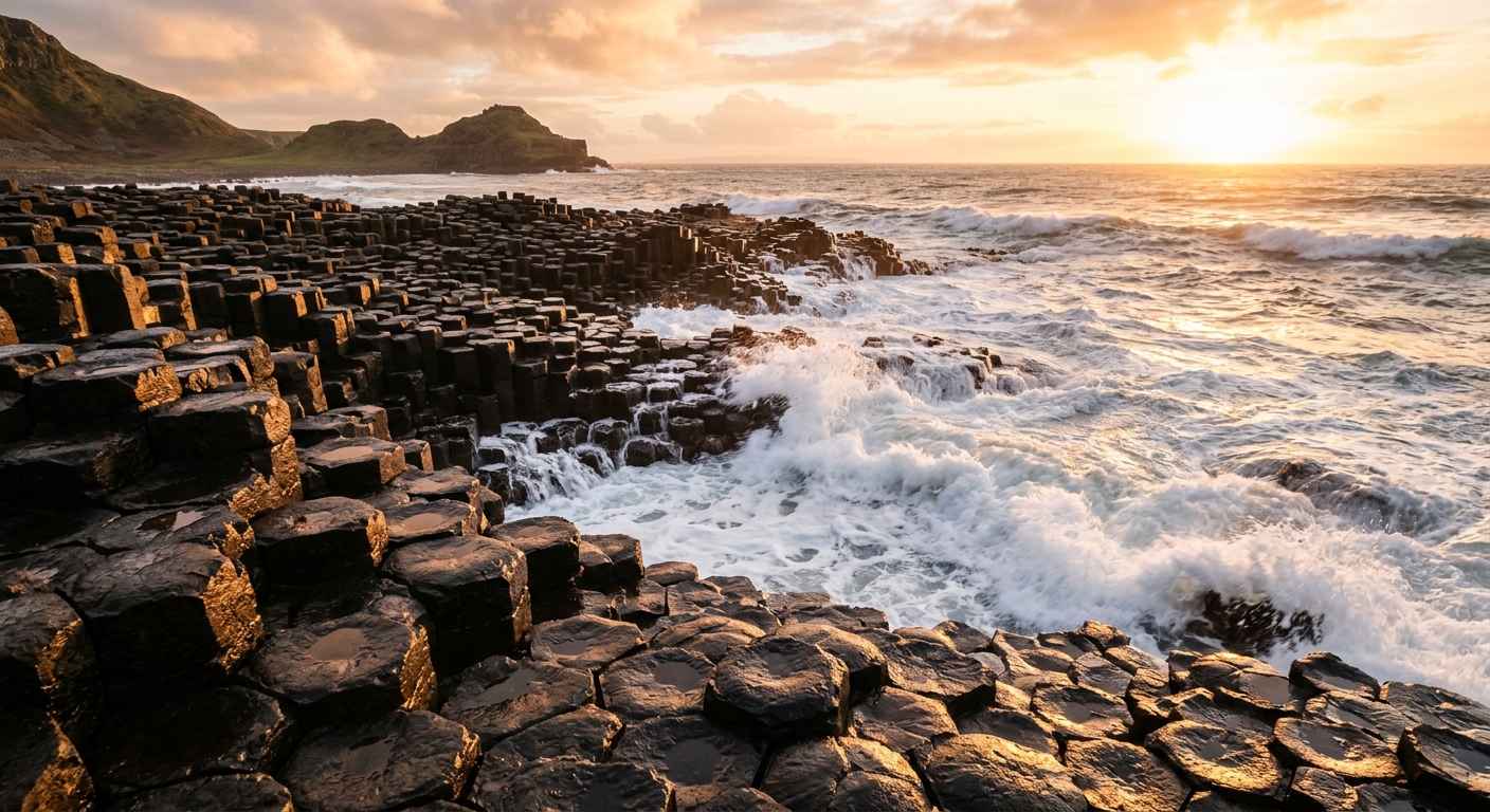
The Sperrins offer a completely different experience. Sawel and its neighbouring hills rise from extensive peat moorland where paths are sparse, distances deceptive and other walkers relatively uncommon. To the northeast, the Antrim Hills meet the Atlantic through basalt cliffs, hidden glens and the extraordinary formations of the Causeway Coast.
Cuilcagh anchors the western uplands, rising above limestone country shared by Fermanagh and County Cavan. Slieve Gullion dominates the south, while Divis and Black Mountain provide open hillwalking within sight of Belfast.
Longer journeys include the Ulster Way, the Causeway Coast Way and the Mourne Way. Some sections are clearly marked; others require confident navigation and a willingness to accept that a line shown on a map may have become largely theoretical.
Northern Ireland’s mountains are modest in height but rich in character, combining wild ground, exposed ridges and coast-to-summit views within a surprisingly compact area.
Regional signature
The Granite Kingdom
The Wild Interior
The Basalt Edge
Lengthening days suit Mourne circuits and lower coastal walks. Peatland routes can remain extremely wet after winter, particularly across the Sperrins.
Best for: Clearer summits and quieter trailsLong daylight makes the Mourne Wall Challenge and multi-day routes more manageable. Slieve Donard and the Giant’s Causeway become busy, but the western hills remain quieter.
Best for: Long mountain rounds and coastal trailsHeather colours the uplands while the forests and Antrim glens turn richly autumnal. Atlantic weather becomes less predictable as the season progresses.
Best for: Moorland colour and woodland glensSnow is usually intermittent, but ice, strong winds and saturated peat can create serious conditions. Navigation becomes difficult quickly when cloud covers the broad uplands.
Best for: Experienced walkers and shorter hill routesTrailTrack Favourites
Ten hills chosen by TrailTrack
Continue exploring
From granite tors above the Irish Sea to empty Sperrin moorland, Northern Ireland proves that memorable mountain country does not need four-figure summits.