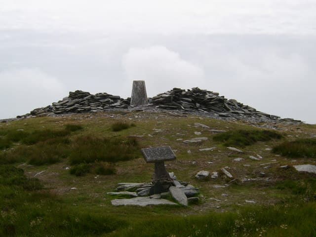
Millennium Way
23-mile Royal Way
An ancient route from Sky Hill near Ramsey to Castle Rushen in Castletown, crossing moorland, farmland and the central spine of the island.
Region guide
“Not its coast, though that is fine; nor its mountains, though they are delightful... but its glens.”
— Hall Caine, Manx novelist and author of The Manxman
Highest Summit
Snaefell — 621mCoastal Circuit
Raad ny Foillan — almost 100 milesHighest Coastal Hill
Cronk ny Arrey Laa — 437mMountain Summits
12 rise above 1,500 feetDark Sky Sites
26 registered viewing locationsIsland Span
33 miles long and 13 miles wideAbout the region
The Isle of Man packs a surprising amount of walking into a relatively small patch of the Irish Sea. A central chain of hills runs from South Barrule towards Snaefell and North Barrule, providing open ridges with views towards England, Scotland, Ireland and Wales when the weather decides to cooperate.
Snaefell is the island’s highest summit, but North Barrule provides the finer mountain walk, rising steeply above Ramsey with a narrow, undulating ridge. Elsewhere, quieter paths cross heather moorland, old mining ground and plantations before dropping into sheltered glens.
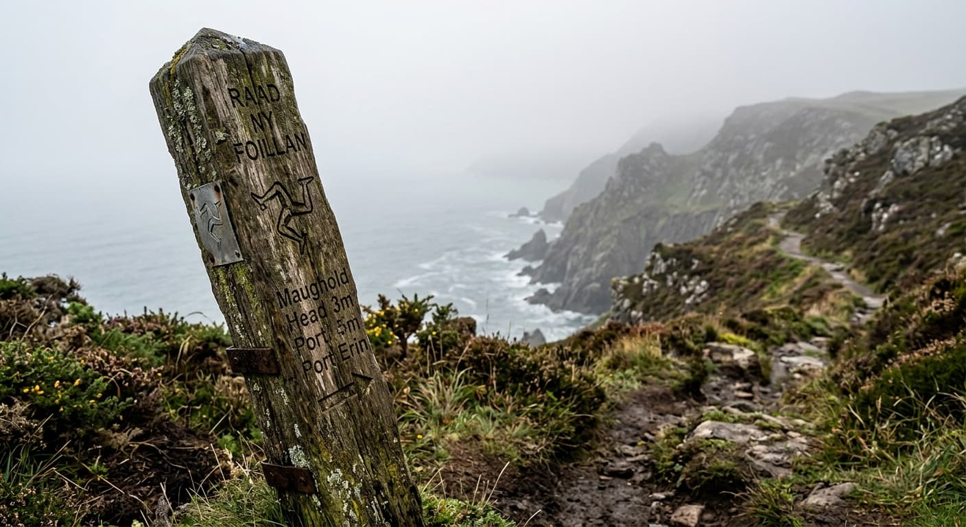
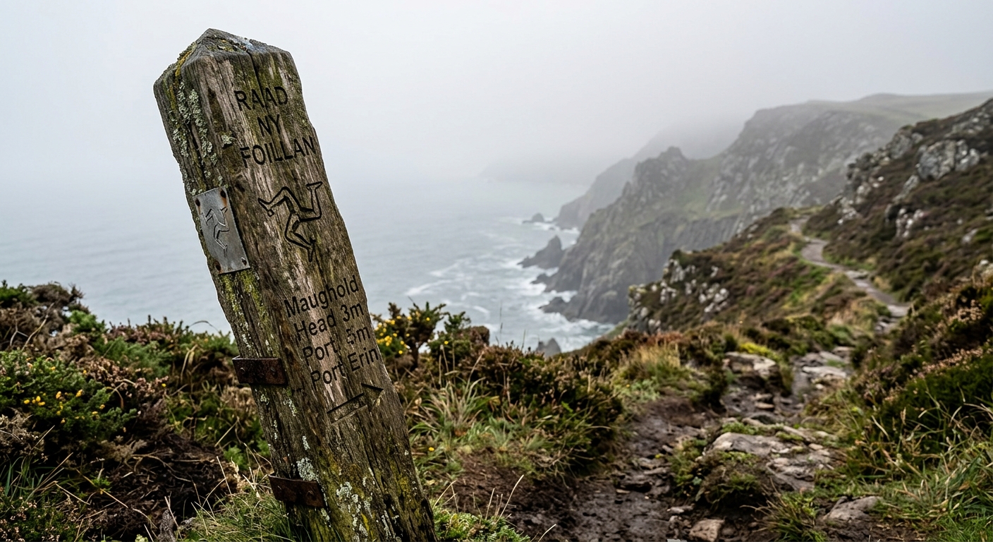
The coast is even more varied. The Raad ny Foillan circles the island through nearly 100 miles of cliffs, beaches, farmland and hidden coves. Its southern sections cross the hills above Port Erin and the Calf of Man, while the north changes completely, becoming a low landscape of dunes, shingle and open horizons.
Walking routes are threaded with keeills, hillforts, stone circles, abandoned mines and traces of the island’s Norse and Celtic past. Several trails follow old fishermen’s paths, royal routes and dismantled railway lines.
Distances can look modest on the map, but repeated coastal climbs soon add up. The reward is a region where a single walk can include mountains, woodland and sea without requiring a week to reach the next one.
Regional signature
Millennium Way
Bayr ny Skeddan
Heritage Trail
Woodland floors fill with bluebells and the cliffs become busy with nesting seabirds. Higher ridges remain exposed to cold winds and sudden showers.
Best for: Glens, wildflowers and coastal wildlifeLong days suit full crossings and extended coastal stages. Southern headlands can become busy, but the central hills remain comparatively quiet.
Best for: Ridge walks and the coastal pathMoorland colour spreads across the central ridge and cooler weather suits the steeper coastal sections. Strong winds become increasingly common.
Best for: Heather, clear horizons and quieter trailsSnow is uncommon at lower levels but possible on Snaefell and North Barrule. Short days and coastal winds make route planning particularly important.
Best for: Experienced walkers and sheltered glensTrailTrack Favourites
Ten hills chosen by TrailTrack
Continue exploring
Cross the hills, follow the old ways and keep walking until the mountains run into the sea.