Dartmoor
Granite wilderness
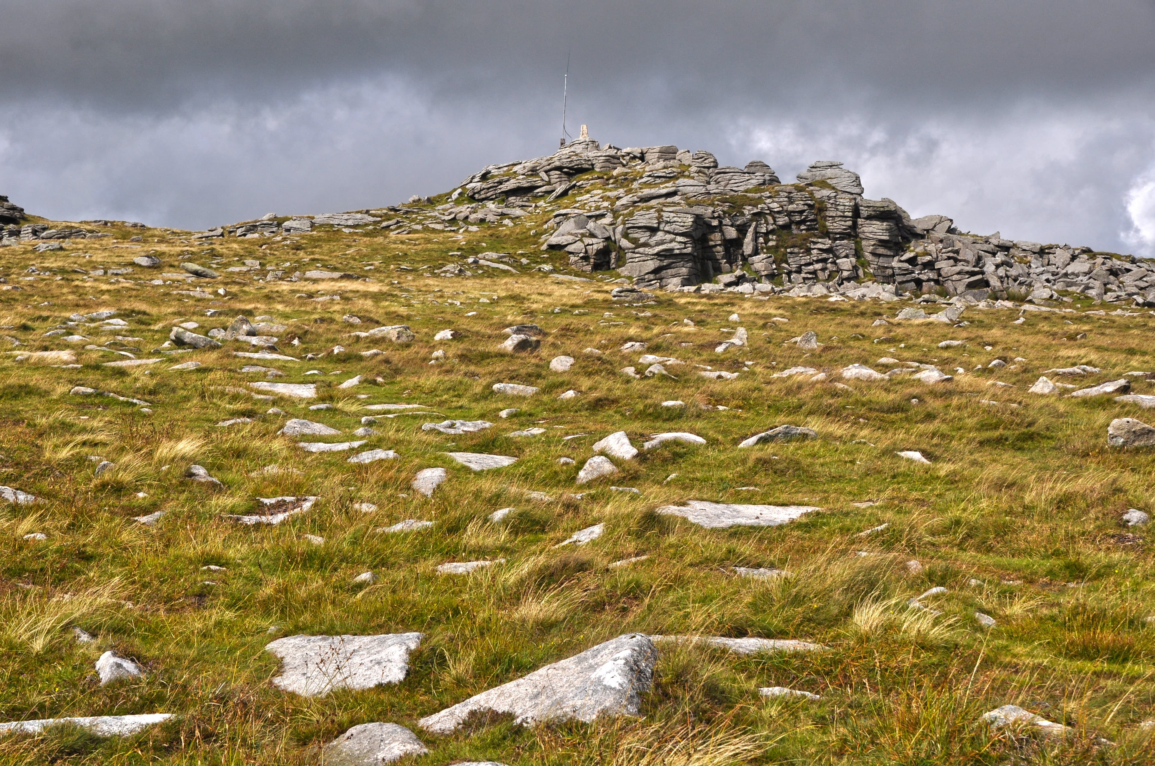
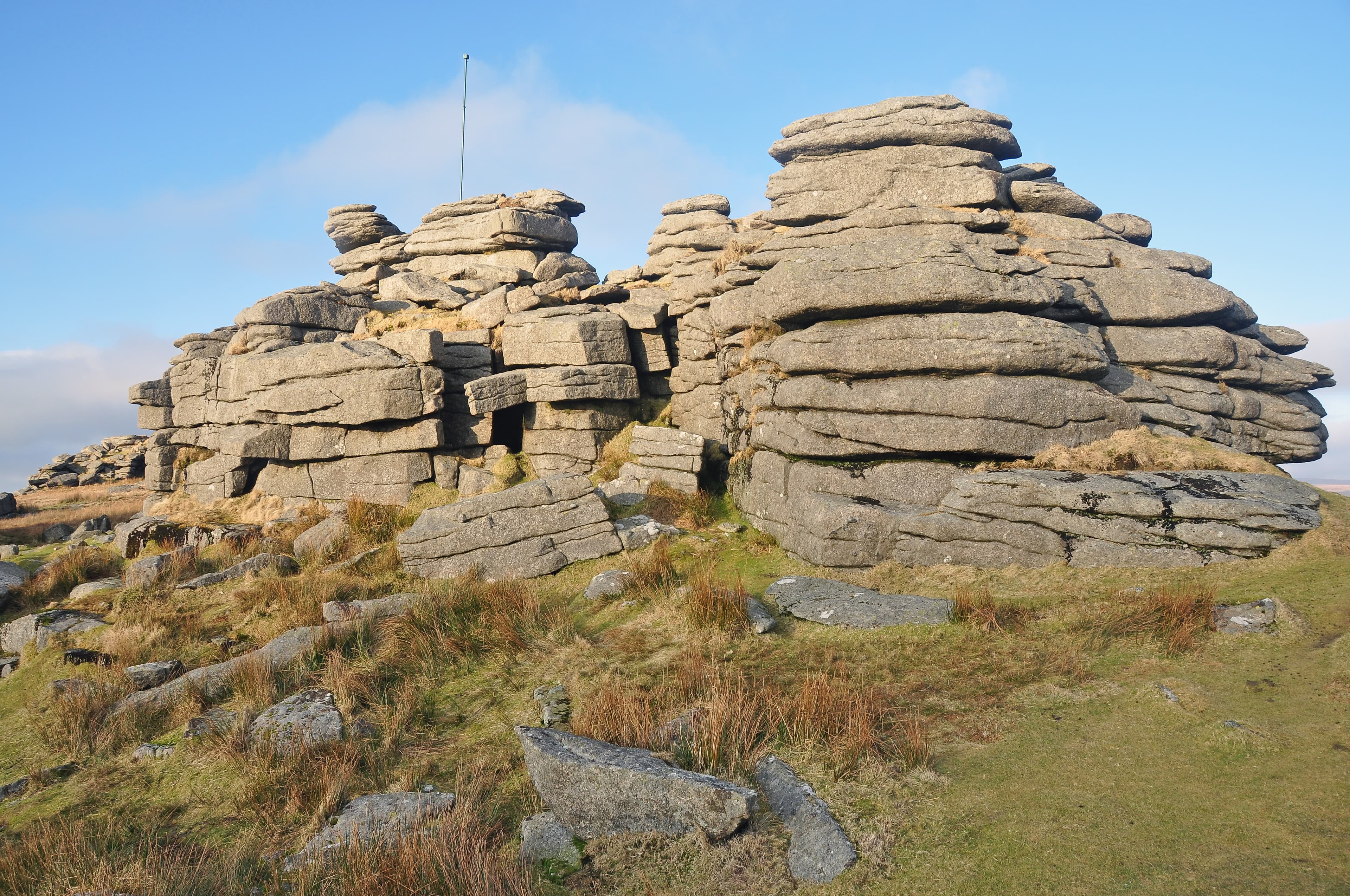
A rough plateau of tors, bogs and ancient trackways, where prehistoric settlements sit alongside old quarries, leats and lonely bridges.
Region guide
“The longer one stays here the more does the spirit of the moor sink into one’s soul, its vastness, and also its grim charm.”
— Sir Arthur Conan Doyle
Highest Point
High Willhays 621mGranite Tors
More than 365 across DartmoorWild Red Deer
Around 3,000 roam ExmoorDark Sky Pioneer
Exmoor was Europe’s first International Dark Sky ReserveGranite Ground
Covers 65% of DartmoorHighest Sheer Sea Cliff
Great Hangman — 244mAbout the region
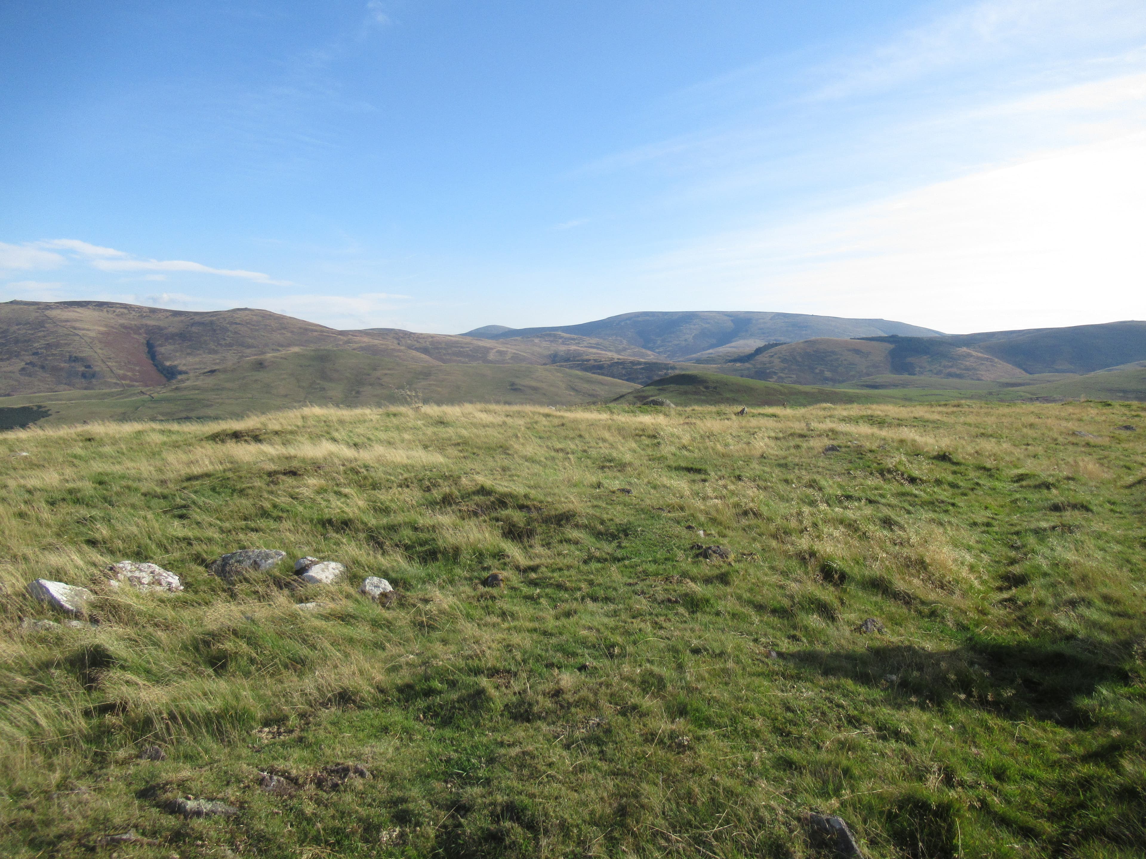
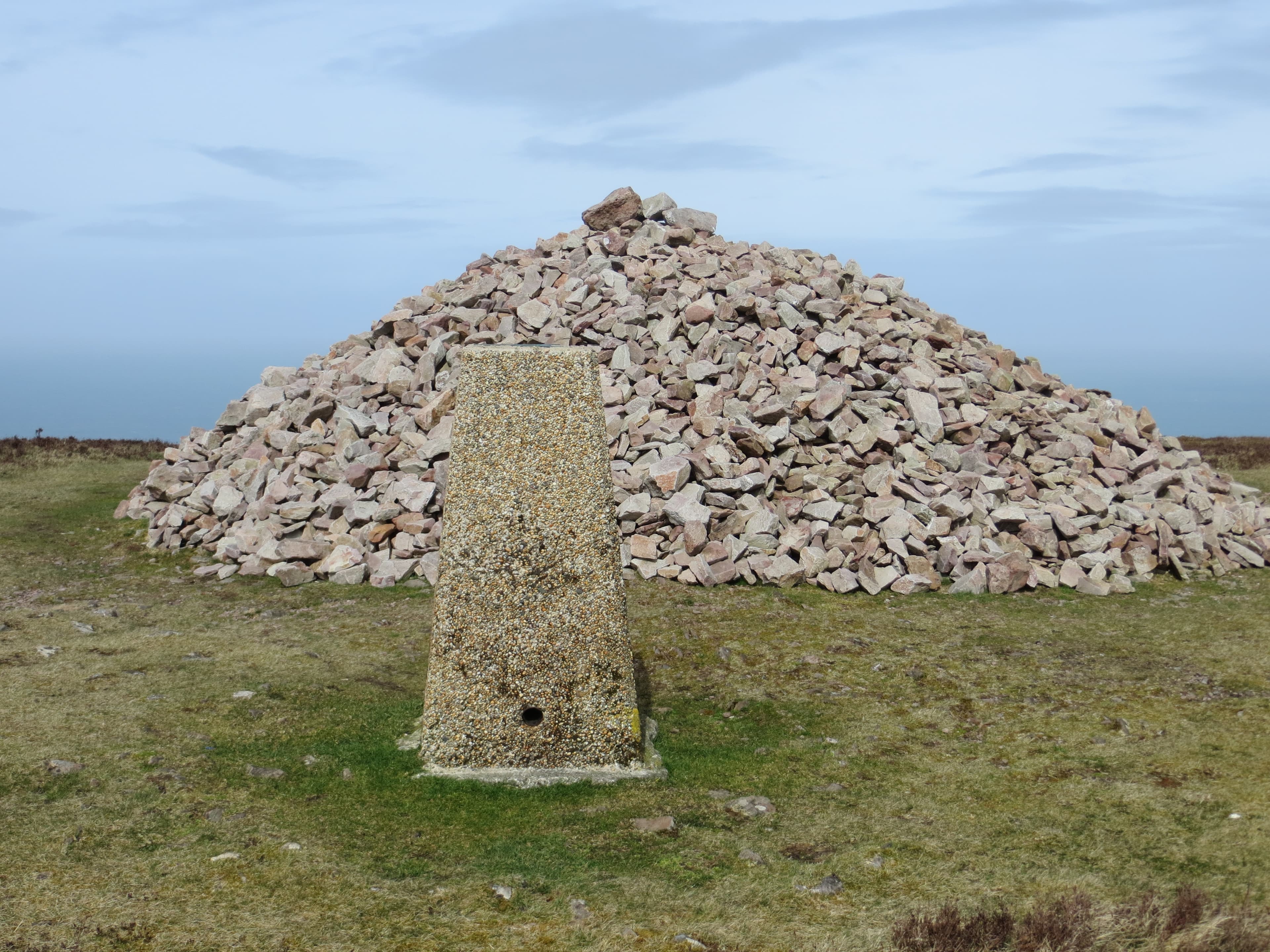
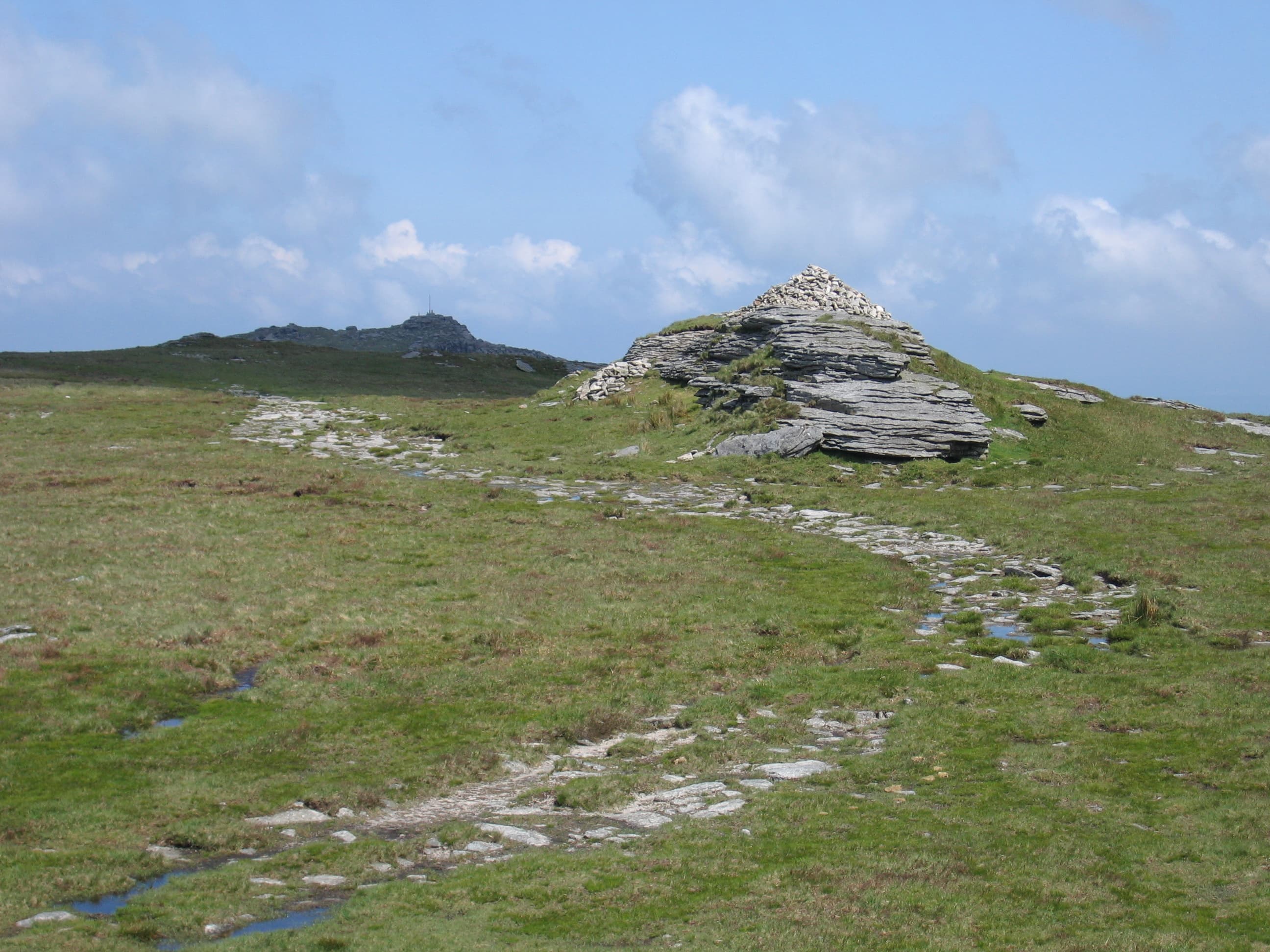
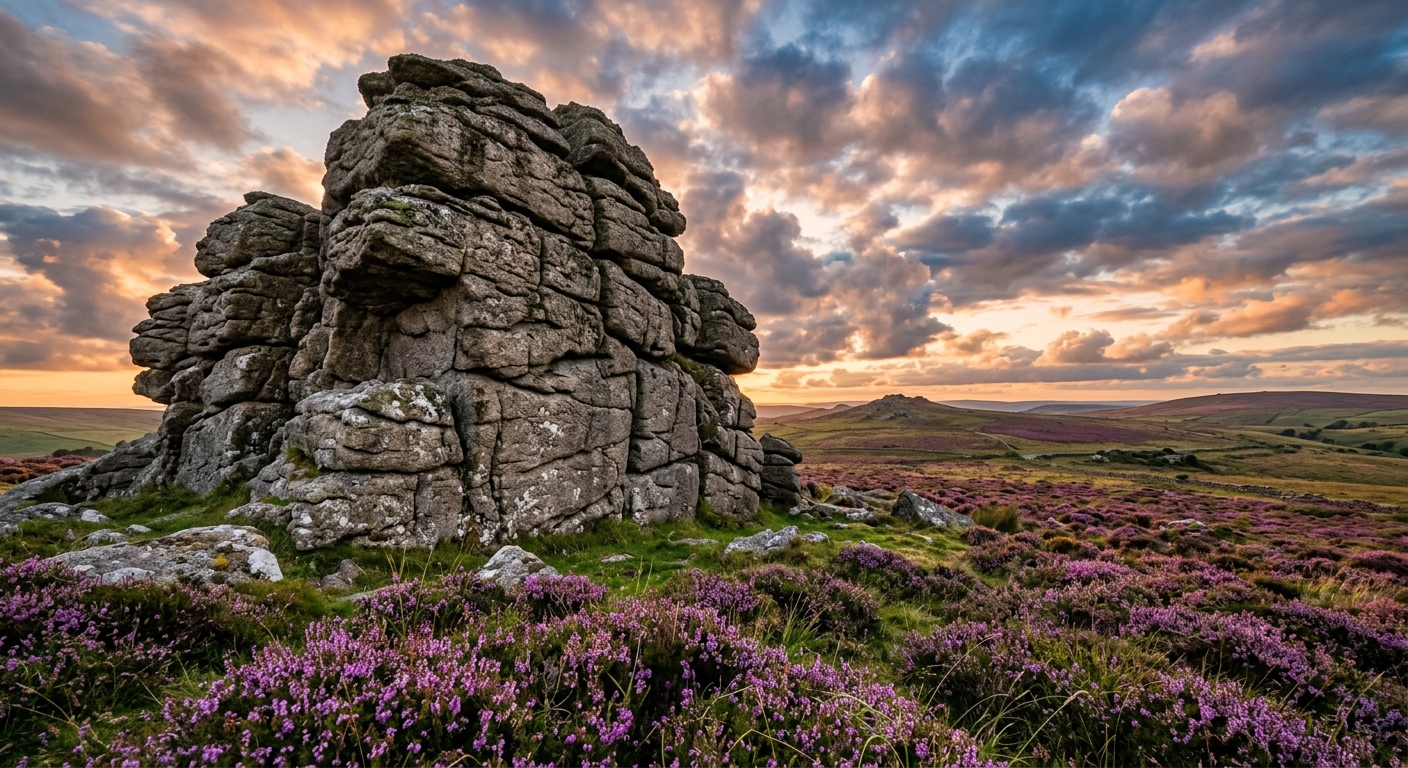
Dartmoor and Exmoor offer two quite different versions of the West Country wilderness. Dartmoor is the harsher of the pair: a high granite plateau scattered with weathered tors, peat bogs, rushing rivers and the remains of settlements built thousands of years ago. Its best-known landmarks are easily reached, but walk beyond them and the moor quickly becomes quieter, rougher and considerably less forgiving.
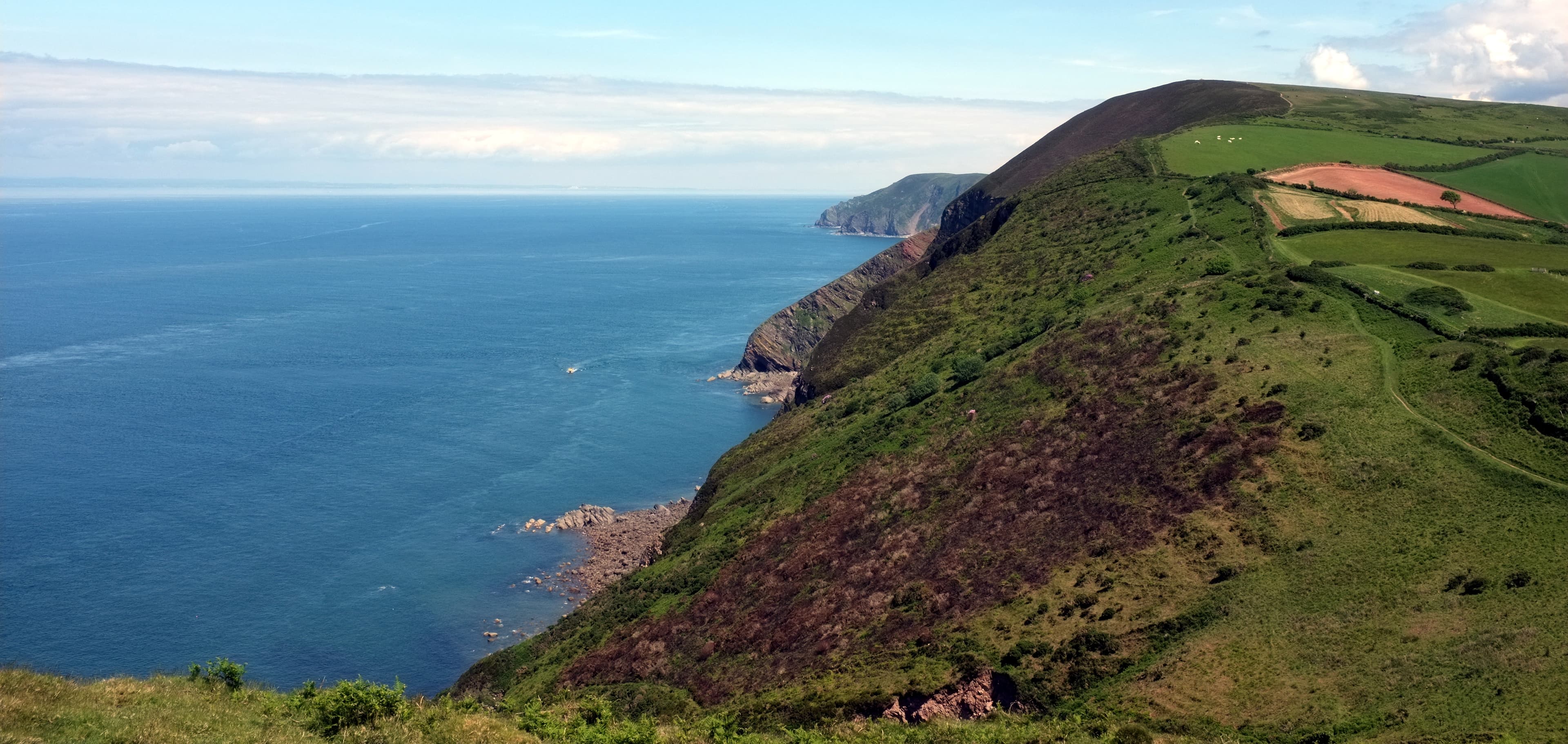
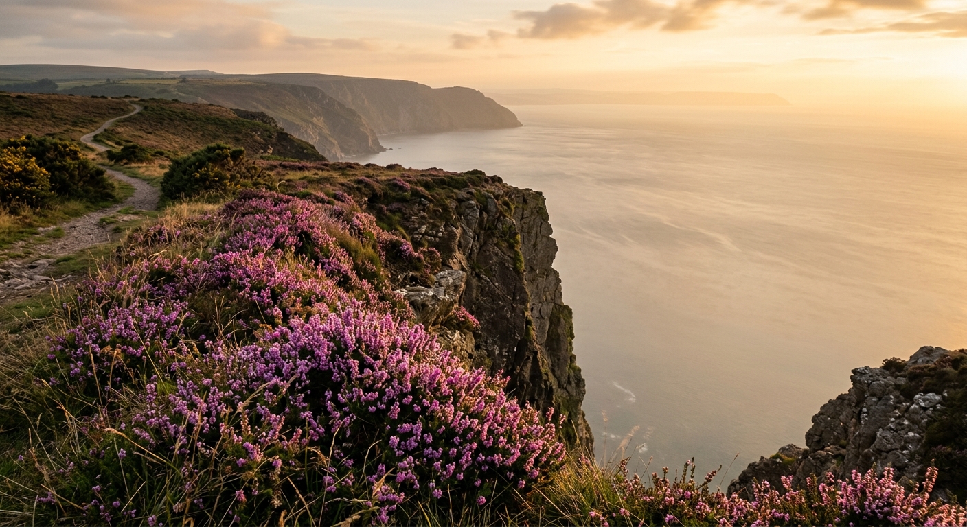
Exmoor feels softer at first, with rounded heather hills, wooded combes and old paths descending towards sheltered villages. Then the land reaches the Bristol Channel and drops away dramatically, creating some of the highest coastal ground in England. Walks here can combine open moorland, ancient woodland and sea cliffs within a single day.
Together, the two national parks provide everything from short tor walks and riverside rambles to long, committing crossings. The Two Moors Way links them through the Devon countryside, while countless lesser paths lead towards stone circles, clapper bridges, hidden valleys and isolated summits.
Neither moor is particularly high by British standards, but mist, boggy ground and fast-changing weather can make navigation surprisingly serious. That is part of their appeal: these are landscapes that still feel properly untamed.
Regional signature
Dartmoor
Exmoor
Two Moors Way
Longer days and fresh growth return to the valleys, although the high moors can remain wet, cold and slow going after winter.
Best for: Wildflowers, waterfalls and quieter pathsThe most reliable season for extended routes. Popular tors and coastal villages become busy, but the open moors still provide plenty of space.
Best for: Long crossings and family walksHeather colours the open ground and Exmoor’s wooded combes turn copper and gold. The autumn red-deer rut adds a rather impressive soundtrack.
Best for: Heather, woodland colour and wildlifeShort days, saturated ground and sudden mist make exposed routes demanding. Clear winter days can be exceptional, but navigation skills remain essential.
Best for: Experienced walkers and sheltered valleysTrailTrack Favourites
Ten hills chosen by TrailTrack
Explore TrailTrack guides, collections and hiking route guides for this region.
Explore the collectionDartmoor & Exmoor Regional LibraryFrom granite tors and Bronze Age settlements to Exmoor's red deer and rugged coast, here's your proper introduction to two of Britain's most atmospheric moorlands, complete with hiking routes you can actually download and follow.Open the regional libraryContinue exploring
From Dartmoor’s granite heights to Exmoor’s sea-cliff paths, two moors offer far more than one journey.