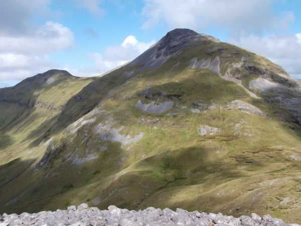
The Twelve Bens
Quartzite mountain chains
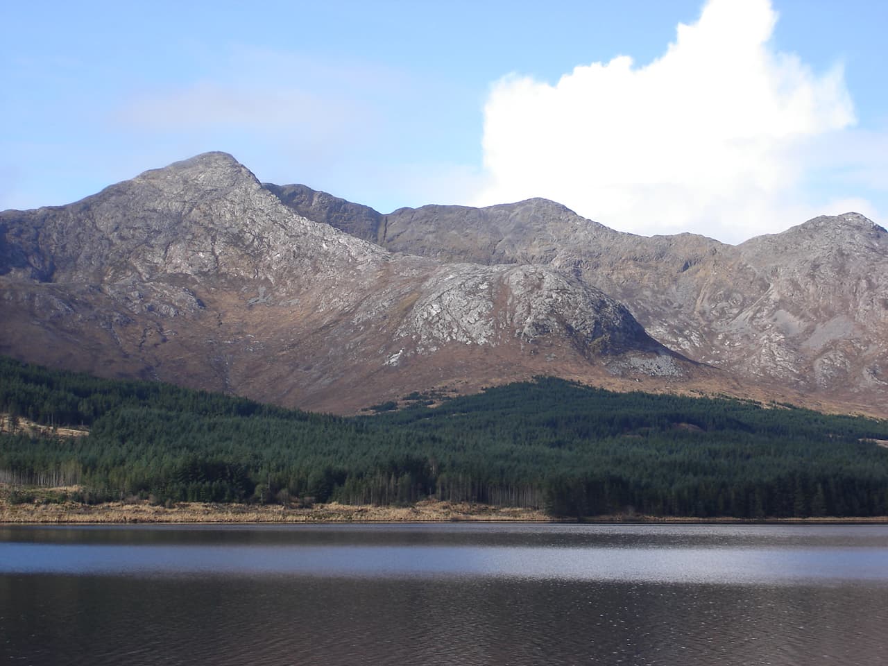
A compact group of steep, pale mountains divided by deep glens, with the Glencoaghan Horseshoe providing one of Ireland’s finest mountain circuits.
Region guide
“Ultimately I have to tell them that this is a land without shortcuts.”
— Tim Robinson, writer, artist and cartographer who spent around forty years walking, mapping and documenting Connemara
Highest Mountain
Mweelrea — 814mHighest Galway Summit
Benbaun — 729mMaamturks Challenge
25km with 2,300m AscentWestern Way
179kmConnemara National Park
Approximately 2,300 HectaresGlacial Fjord
Killary Harbour — 16kmAbout the region
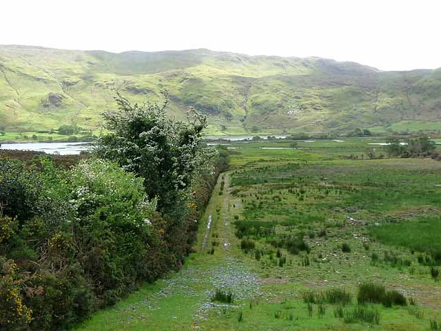
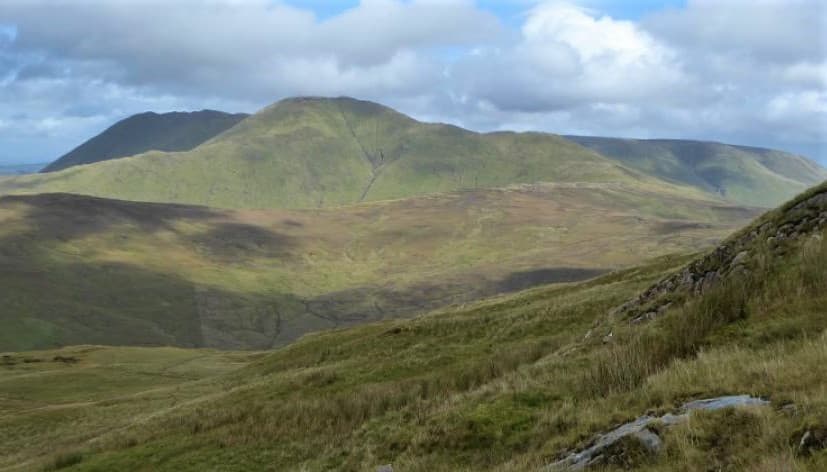
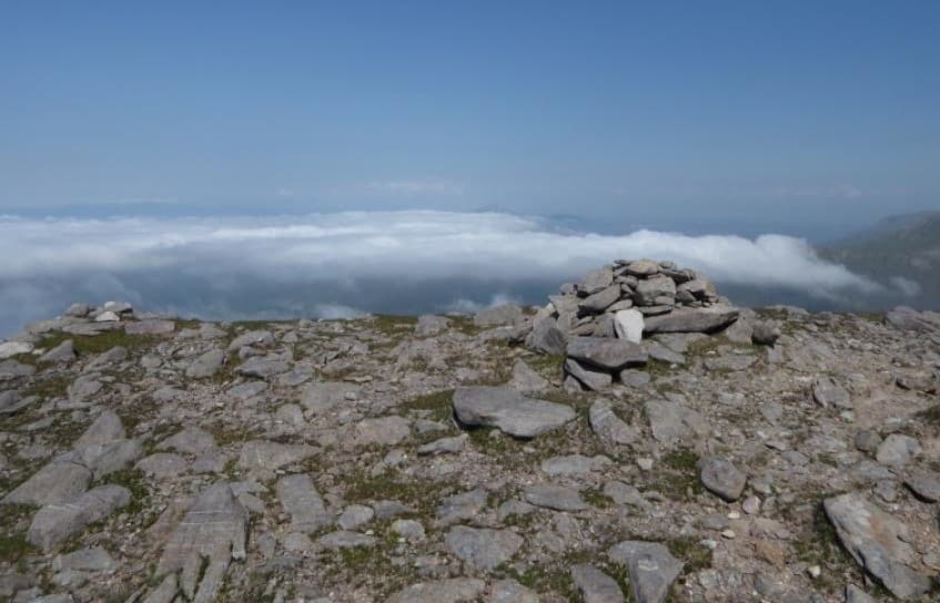
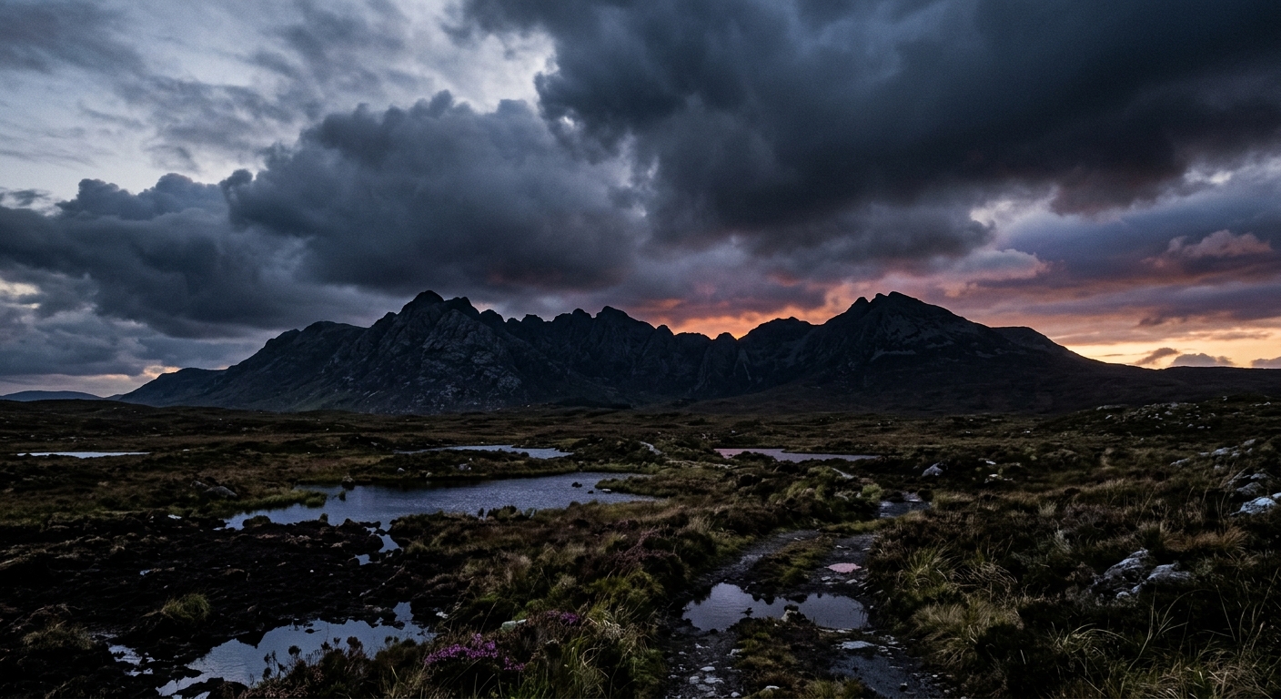
Connemara’s mountains rise abruptly from a landscape of Atlantic inlets, scattered lakes and extensive blanket bog. The heights are modest, but the combination of quartzite ridges, rough ground and rapidly changing weather produces some of Ireland’s most demanding walking.
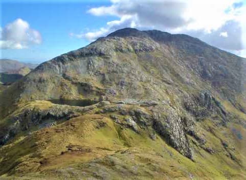
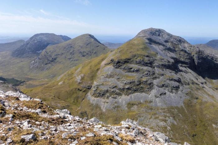
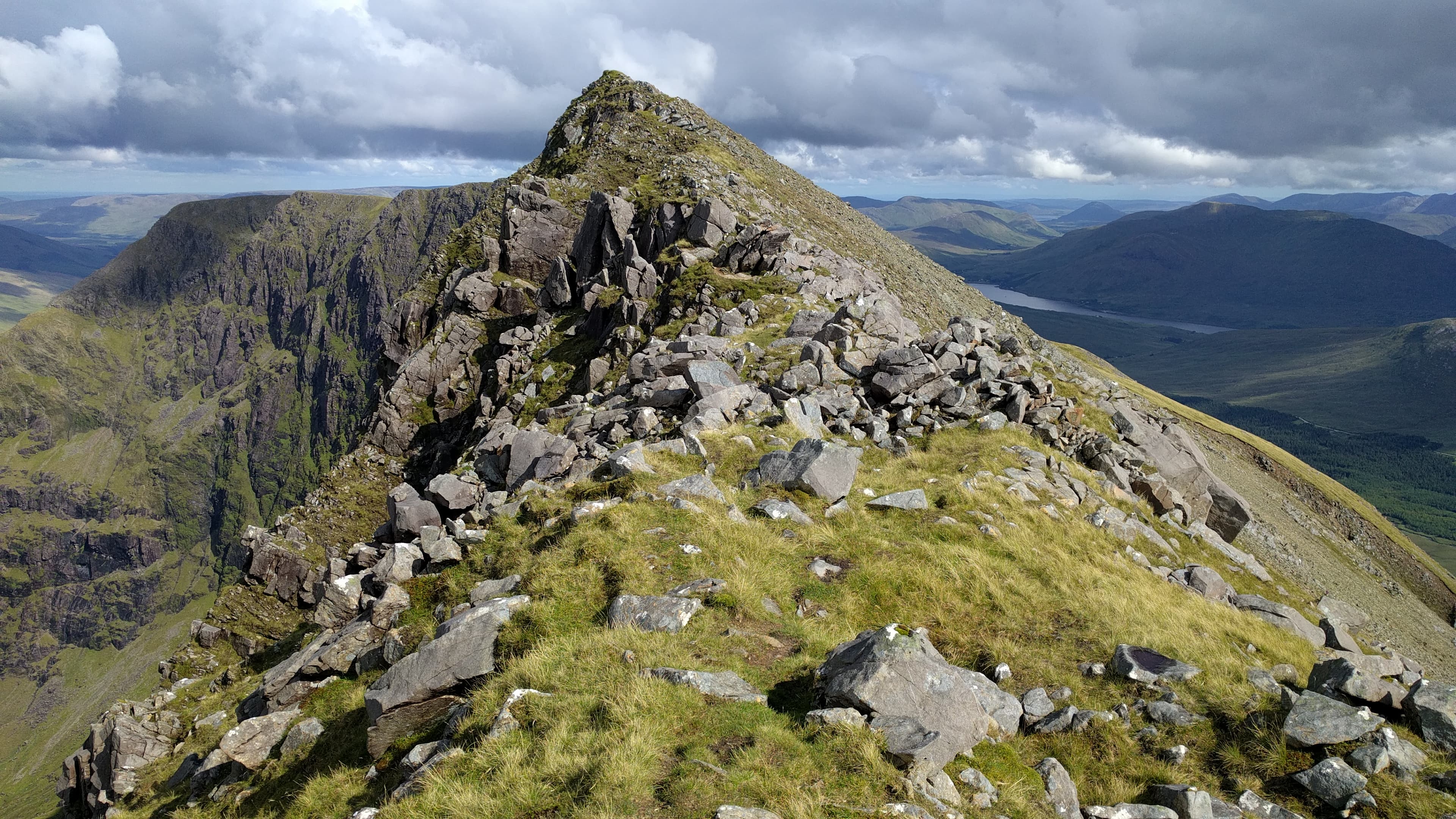
The Twelve Bens form the region’s best-known range. Benbaun is the highest summit, while the Glencoaghan Horseshoe links six major peaks in a sustained circuit of steep climbs and rocky descents. Paths are often faint or absent, leaving walkers to find their own line across scree, bog and exposed ridges.
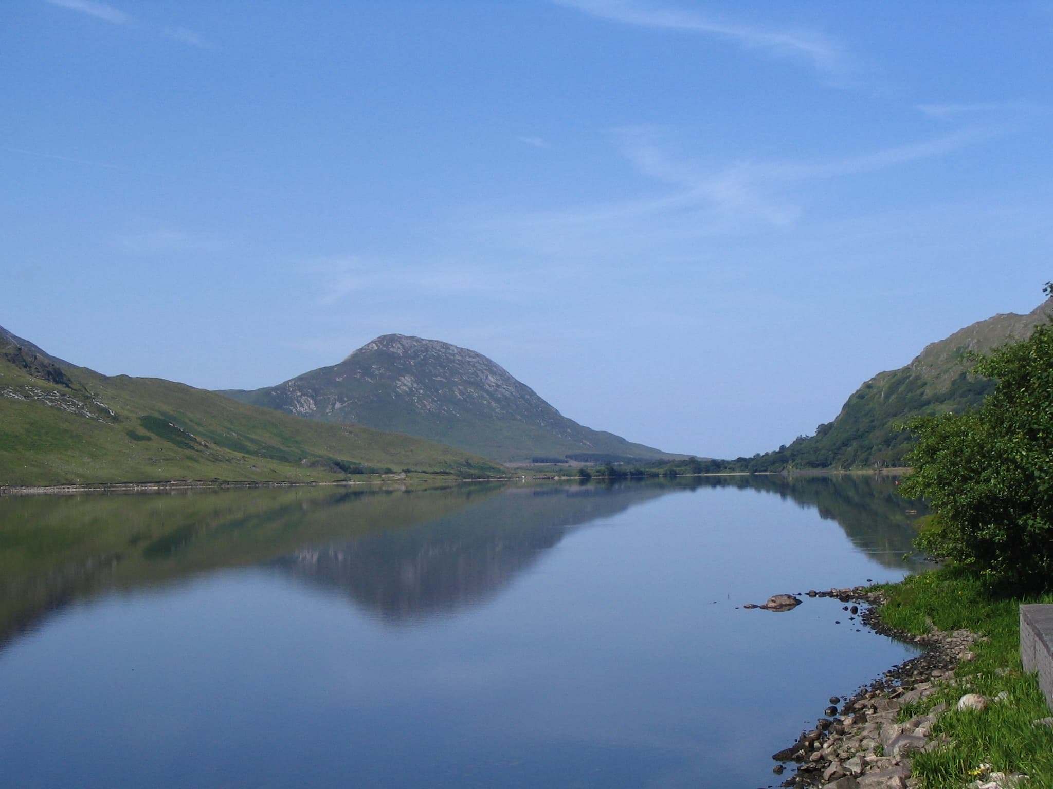
Across the Inagh Valley, the Maumturks form a long, broken chain running towards Killary Harbour. The annual Maamturks Challenge crosses 25 kilometres of mountainous ground with around 2,300 metres of ascent—figures that explain why it is treated with considerable respect.
North of Killary, Mweelrea and Ben Lugmore rise above the deep Doolough Valley. Their cliffs, corries and high ridges feel very different from the broader mountains surrounding them. Maumtrasna and Devilsmother add further remote walking around Joyce Country and the Partry Mountains.
Easier introductions can be found on Diamond Hill and sections of the Western Way. Even there, Connemara retains its essential character: rock, bog, Atlantic weather and remarkably little interest in providing a straightforward route.
Regional signature
The Twelve Bens
The Maumturks
The Mayo Mountains
Lengthening days suit the Twelve Bens and Maumturks, although blanket bog remains saturated. Late spring generally offers the best balance of daylight and visibility.
Best for: Clearer ridges and quieter mountain routesExtended daylight makes Connemara’s substantial mountain rounds more manageable. Midges appear in sheltered, still conditions, but the Atlantic wind frequently has other ideas.
Best for: Long horseshoes and high-level traversesCooler air can bring excellent visibility across the islands and Atlantic. Shortening days make careful timing essential on the longer ridge routes.
Best for: Sharp coastal views and moorland colourSnow is uncommon but possible on the higher summits. Strong winds, heavy rain and swollen streams often present greater difficulties than frozen ground.
Best for: Experienced walkers and lower trailsTrailTrack Favourites
Ten hills chosen by TrailTrack
Continue exploring
Connemara offers no easy shortcuts—but its quartzite ridges, empty valleys and Atlantic horizons make the longer way considerably more rewarding.