Three Great Rivers
Severn, Wye and Rheidol
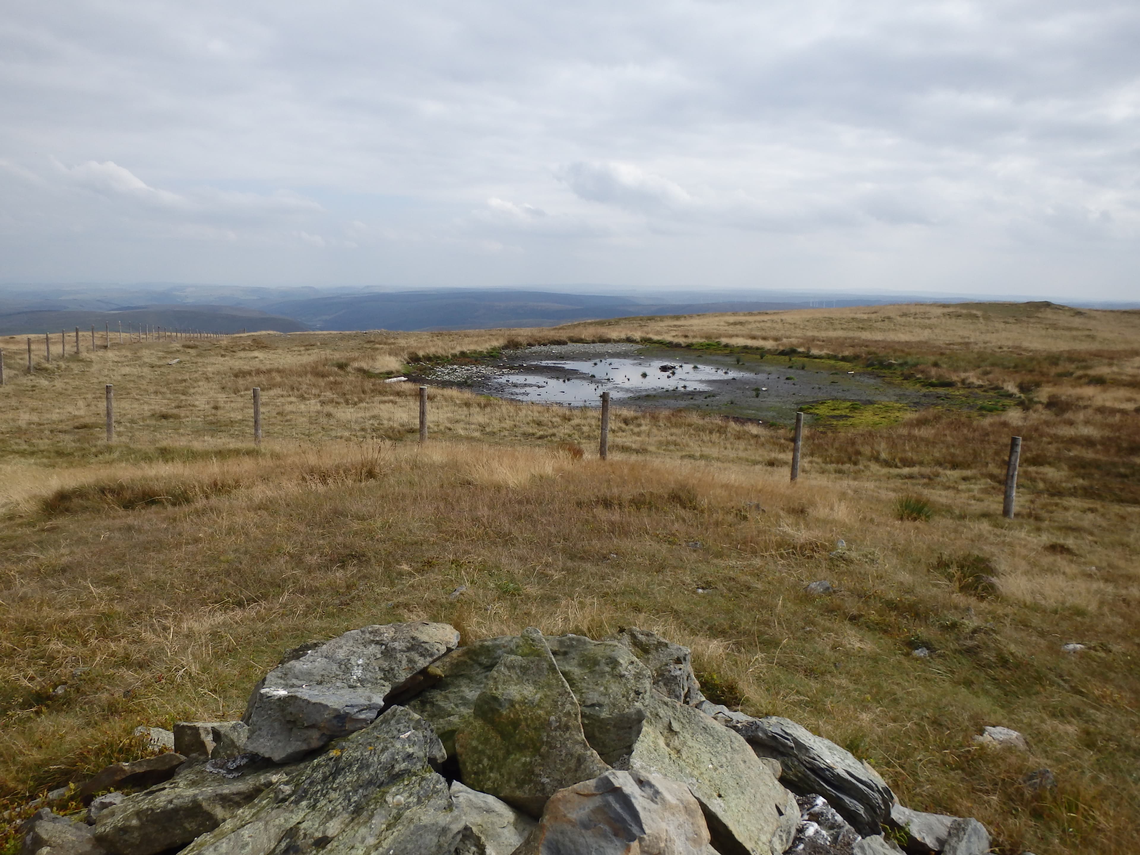
All three rise around the Pumlumon massif before flowing in different directions towards the Bristol Channel, the Severn Estuary and Cardigan Bay.
Region guide
“Pen Pumlumon Fawr is a considerable hill, lofty and remote.”
— Jim Perrin, climber and outdoor writer
Highest Mountain
Pumlumon Fawr — 753mLongest River Source
River Severn — 354kmLong-Distance Crossing
Cambrian Way — 479kmHighest Waterfall
Pistyll y Llyn — 73mDark Sky Park
Elan Valley — 45,000 AcresReservoir Capacity
Elan Valley — Around 100 Billion LitresAbout the region
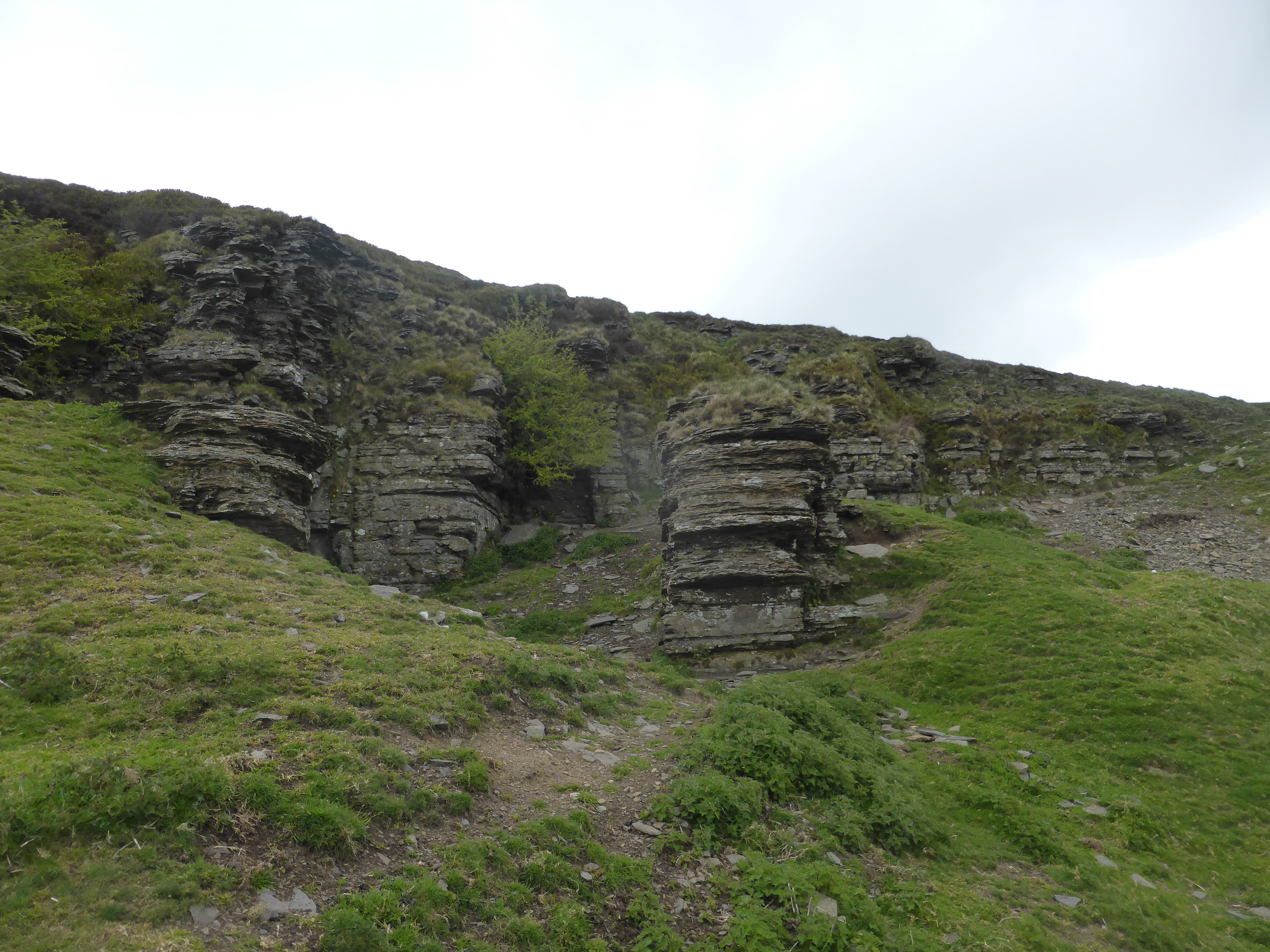
The Cambrian Mountains occupy the quiet centre of Wales, where rounded summits, open moorland and reservoir valleys stretch between Eryri and Bannau Brycheiniog. The hills are rarely technically difficult, but long approaches, wet ground and limited paths make them far more serious than their heights suggest.
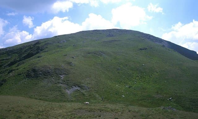
Pumlumon Fawr is the region’s highest point and the source of the River Severn. The Wye and Rheidol also begin on the wider massif, sending water towards three different coasts. Its neighbouring summits provide spacious ridge walks above a landscape of blanket bog, forestry and remote valleys.
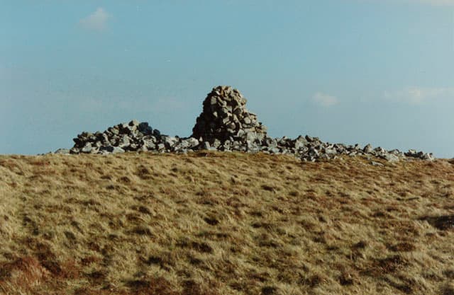
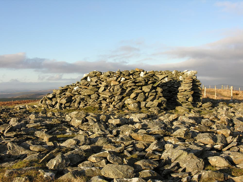
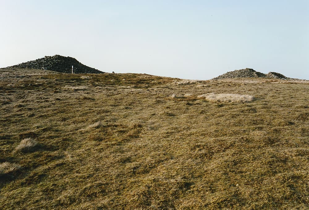
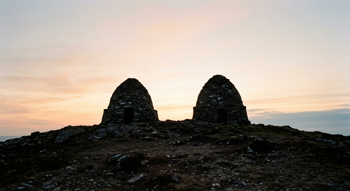
Farther south, the Elan Valley combines Victorian engineering with wild upland walking. Reservoirs fill deep valleys beneath broad, frequently pathless hills such as Drygarn Fawr, whose two distinctive beehive cairns rise above one of the least populated parts of Wales. Eastward, Radnor Forest offers steeper, more defined summits including Great Rhos, Black Mixen and the shapely Whimble.
This is not a region of dramatic pinnacles or crowded summit paths. Its appeal lies in distance, silence and the freedom to cross high ground without meeting many people. Navigation matters, particularly when cloud removes the few available landmarks. So do waterproof boots: Mid Wales has never been overly troubled by drought.
Regional signature
Three Great Rivers
The Elan Valley
The Desert of Wales
Higher rainfall keeps the streams and waterfalls flowing strongly. Improving daylight makes longer Pumlumon and Elan Valley routes more practical.
Best for: River valleys, waterfalls and quieter summitsLong daylight helps with the region’s lengthy approaches. Paths can be faint or absent, so carrying a map and compass remains essential.
Best for: Cambrian Way sections and remote hill daysHeather and rough grass bring colour to the uplands, while cooler air can produce far-reaching views. Persistent rain quickly saturates the peat.
Best for: Reservoir views and open moorland colourSnow is possible on the highest ground, but wind, rain and poor visibility are more frequent concerns. Short daylight makes remote routes particularly committing.
Best for: Experienced navigators and lower reservoir walksTrailTrack Favourites
Ten hills chosen by TrailTrack
Continue exploring
Follow the rivers towards their source and discover the quiet, roadless hills at the heart of Wales.