Lake District
Yoke
707M
2319FT
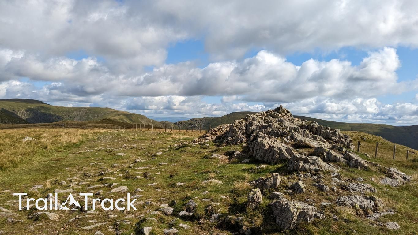
About Yoke
Yoke marks the southern start of the impressive Kentmere Horseshoe ridge. It’s a steady climb from the valley floor, serving as the gateway to the more dramatic peaks of Ill Bell and Froswick. The terrain is mostly grassy, offering wide views back towards Windermere and the Troutbeck valley.
Key Statistics
Rank
151st Highest in Region
Parent Range
Far Eastern Fells
Prominence
?
38.8m
Nearest Town
Kentmere
Geology
You’re walking on layers of volcanic ash and solidified magma from formations such as Lincomb Tarns Tuff, the North Britain Dyke, the Lake District Minor Intrusion, and Borrowdale Sill.
Find It
Latitude
54.4529°N
Longitude
2.8687°W
Did You Know?
- •The name is derived from the Old English word 'geoc', meaning a yoke or mountain ridge, which likely describes its function as a connecting link in the long chain of fells leading toward High Street.
- •Yoke is the first significant summit reached when tackling the classic Kentmere Horseshoe in a clockwise direction, standing at an elevation of 707 metres.
- •The western slopes of the fell fall away steeply into the Troutbeck valley, where the remains of a Roman road once connected the fort at Ambleside to the military hub at Penrith.
- •The eastern side of the fell overlooks the Kentmere Reservoir, an industrial-era construction built in 1848 to regulate water flow for the various mills operating along the River Kent.
- •Hikers often view Yoke as the gentle introductory chapter to the ridge, though the sudden transition to the steep, rocky 'steps' of neighboring Ill Bell can be a rude awakening for those who haven't found their hill legs yet.