Lake District
Troutbeck Tongue
364M
1194FT
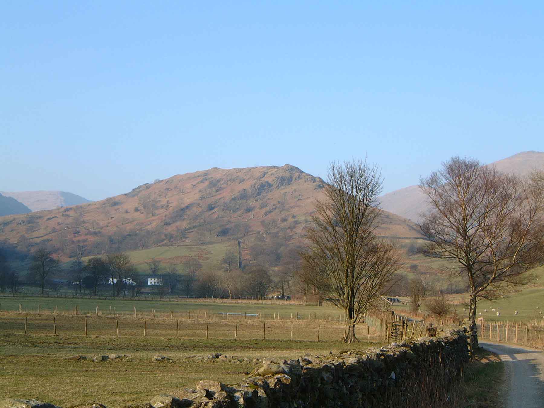
About Troutbeck Tongue
Nestled between the higher ridges of the Far Eastern Fells, Troutbeck Tongue is a distinct, low-lying ridge that offers a manageable but rewarding walk. It’s the perfect fallback when the high tops are clagged in, providing great perspectives of the Ill Bell ridge and the Upper Troutbeck valley.
Key Statistics
Rank
662nd Highest in Region
Parent Range
Far Eastern Fells
Prominence
?
74m
Nearest Town
Troutbeck
Geology
You're walking on layers of hardened volcanic ash and sandstone. A streak of darker, ancient volcanic rock (andesite) once flowed beneath the surface.
Classifications
Find It
OS Grid Reference
NY422064
Latitude
54.4500°N
Longitude
2.8923°W
Did You Know?
- •The fell stands within the historic Troutbeck Park, a medieval deer park once owned by the de Coucy family and later by the Crown; traces of ancient field boundaries and a 'Great Wall' built by a 17th-century farmer still mark the landscape.
- •The name is purely descriptive: 'Troutbeck' derives from the Old Norse 'trútr' (trout) and 'bekkr' (stream), while 'Tongue' refers to its characteristic shape as a long, narrow ridge protruding into the valley floor.
- •Unlike the craggy volcanic rocks of the central Lakes, the Tongue is part of the Windermere Supergroup, consisting largely of siltstones and sandstones that create its smoother, more rounded profile compared to its neighbors.
- •Despite its modest height, the northern descent towards the head of the valley is surprisingly steep and can be remarkably slippery after Cumbrian rain, making it a stern test for even the most reliable knees.
- •It is perhaps the only Wainwright where you might spend more time navigating the elaborate series of farm gates and potentially muddy tracks at the start than you do actually ascending to the summit cairn.