Lake District
The Knott (High Street)
739M
2425FT
About The Knott (High Street)
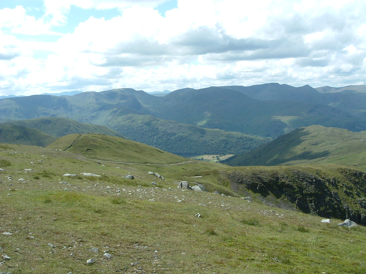
Standing as a vital junction in the Far Eastern Fells, The Knott is a stony plateau often used as a waypoint between Rest Dodd and High Street. It offers a stark, practical vantage point overlooking the deep glacial troughs of Rampsgill and Hayeswater.
Key Statistics
Rank
118th Highest in Region
Parent Range
Far Eastern Fells
Prominence
?
13m
Nearest Town
Martindale
Geology
The Knott’s summit rests on ancient volcanic rocks – hard andesite lava flows and layers of volcanic ash (rhyolitic lapilli‑tuff) that have fused together over time.
Classifications
Find It
OS Grid Reference
NY437126
Latitude
54.5063°N
Longitude
2.8708°W
Did You Know?
- •The Knott acts as a major topographic hub, marking the point where the ridges from Rest Dodd, Rampsgill Head, and the main High Street range converge.
- •The name originates from the Old Norse word 'knutr', typically referring to a small, rocky hill or a 'knot' in the landscape, which is a common descriptor across the Cumbrian fells.
- •Its summit sits just west of the ancient Roman road that traverses the High Street range, a route once used to connect the forts at Ambleside and Penrith.
- •The surrounding slopes and the nearby valley of Rampsgill provide a secluded habitat for the Lake District's only truly wild herd of red deer, which often avoid the busier central fells.
- •At 739 metres, it is technically higher than many famous peaks, yet most walkers treat it as a glorified speed bump on the way to the Roman road, usually while their boots are half-submerged in the local peat bogs.