Lake District
Rest Dodd
696M
2283FT
About Rest Dodd
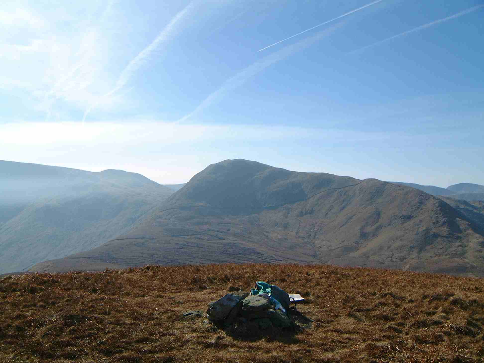
Rising between Patterdale and the High Street range, this rounded, grassy Wainwright is often overlooked by those following the Coast to Coast path. While the summit is unassuming, its steep eastern face plunges towards Hayeswater in dramatic fans of scree, offering a quiet vantage point over the Martindale wilderness.
Key Statistics
Rank
164th Highest in Region
Parent Range
Far Eastern Fells
Prominence
?
109m
Nearest Town
Martindale
Geology
Rest Dodd is built from layers of hardened volcanic ash and solid lava flows. These rugged rocks are the remnants of explosive eruptions that shaped the landscape.
Classifications
Find It
Latitude
54.5149°N
Longitude
2.8780°W
Did You Know?
- •The name combines the Old Norse 'doddi', signifying a rounded or bare hill, with 'Rest', likely referring to its position as a high-level break or 'crest' between the Hayeswater and Martindale valleys.
- •Alfred Wainwright was characteristically blunt about the fell’s charms, describing it as having "little interest" except for the spectacular scree slopes that colour its eastern flank above Hayeswater.
- •The fell acts as a vital bridge for walkers heading to The Nab; the connecting ridge is part of the Martindale Deer Forest, home to the oldest native red deer herd in England, which has remained pure-bred since the Norman conquest.
- •Its summit provides an excellent, unobstructed view south-east across the deep trench of Hayeswater to the long, narrow ridge of Gray Crag and the massive plateau of High Street.
- •Walking from here to The Nab is a rite of passage for Lake District hikers, primarily because the ground between them is widely considered some of the most persistently saturated peat bog in the national park.