Lake District
Rampsgill Head
792M
2600FT
About Rampsgill Head
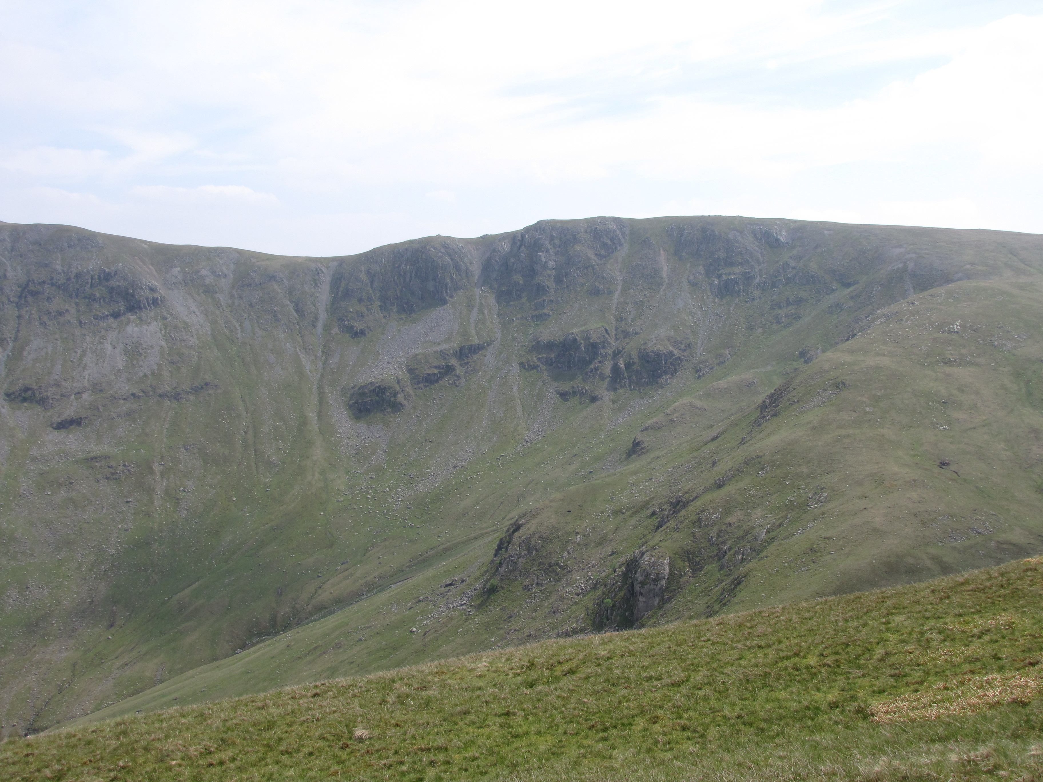
Standing as a high-altitude crossroads in the Far Eastern Fells, this broad, grassy plateau serves as the meeting point for three major ridges. While the summit itself is relatively flat, its position offers a dramatic perspective down the long, deep glacial troughs of Ramps Gill and the Martindale valleys.
Key Statistics
Rank
69th Highest in Region
Parent Range
Far Eastern Fells
Prominence
?
41.1m
Nearest Town
Martindale
Geology
You are trekking over ancient volcanic lava and layers of hardened ash. These solid rocks form the rugged foundation of the fell beneath your feet.
Find It
OS Grid Reference
NY443128
Latitude
54.5081°N
Longitude
2.8613°W
Did You Know?
- •The name derives from the Old Norse hramsa-gil, meaning "the valley of wild garlic." While the pungent herb remains common in the lower reaches of the gill, it is unlikely to be found on the windswept, 792-metre summit plateau.
- •Alfred Wainwright described the fell as the "hub" of the Far Eastern range, noting that it provides the best vantage point for looking straight down the deep, U-shaped trough of Ramps Gill towards Martindale.
- •It serves as a vital navigational pivot for walkers, connecting the ridges of High Raise to the north-west, Kidsty Pike to the north-east, and the main High Street massif to the south.
- •From the summit cairn, the view eastward is dominated by the sharp, peaked profile of Kidsty Pike, while looking south reveals the high, level line of the Roman road crossing the High Street plateau.
- •For a fell of such significant height, the summit is remarkably level and grassy; it is one of the few places in the Lake District where you could arguably host a reasonably fair game of cricket at nearly 800 metres.