Lake District
Tarn Crag (Sleddale)
664M
2178FT
About Tarn Crag (Sleddale)
Tarn Crag is a quiet, grassy upland in the remote Far Eastern Fells, standing between Longsleddale and Mosedale. It’s a functional rather than dramatic fell, offering expansive views and a sense of solitude for those following the high ridge between Branstree and Grey Crag.
Key Statistics
Rank
194th Highest in Region
Parent Range
Far Eastern Fells
Prominence
?
160.3
Nearest Town
Sadgill
Geology
You are standing on volcanic ash and ash-rock from the Lincomb Tarns Tuff, with a band of andesite from the Borrowdale Sill.
Classifications
Find It
Latitude
54.4636°N
Longitude
2.7915°W
Did You Know?
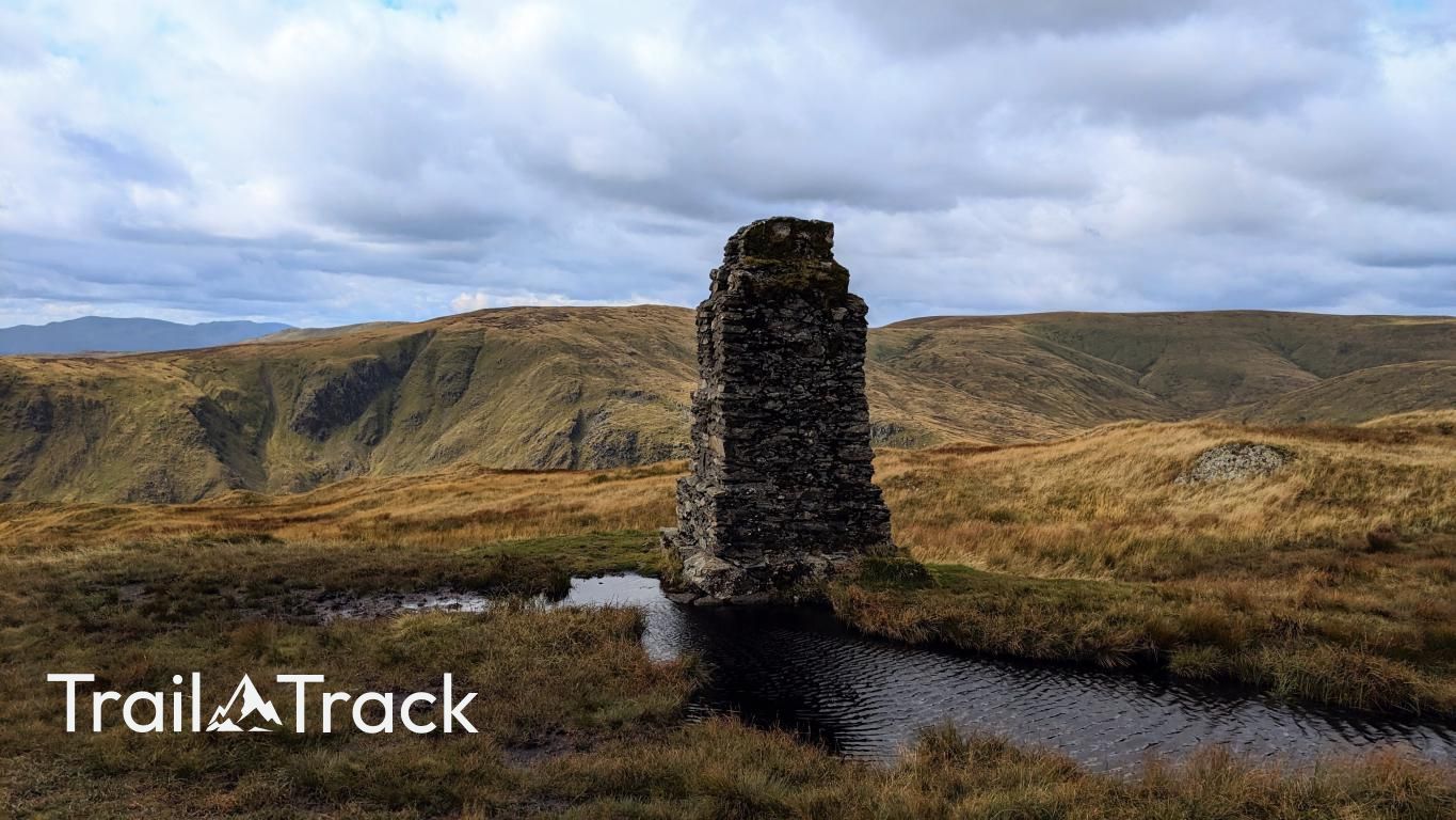
- •The summit is marked by a distinctive square concrete pillar, which was used by engineers as a surveying station during the construction of the Haweswater aqueduct in the 1930s.
- •Despite its name, the 'tarn' that gave the fell its title—Greycrag Tarn—has almost entirely disappeared, having transitioned over many years into a high-altitude peat bog.
- •The fell's bedrock belongs to the Lincomb Tarns Formation, a specific type of dacitic volcanic tuff that is part of the wider Borrowdale Volcanic Group.
- •The eastern slopes drop away into the lonely valley of Mosedale, which houses Mosedale Cottage, one of the few remote mountain bothies in the Lake District maintained by the Mountain Bothies Association.
- •The traverse between Tarn Crag and its neighbor Grey Crag is a notorious masterclass in Cumbrian bog-hopping, where the ground is frequently more liquid than solid and a single misplaced step can lead to a very personal investigation of peat depth.