Lake District
Goat Scar
626M
2053FT
About Goat Scar
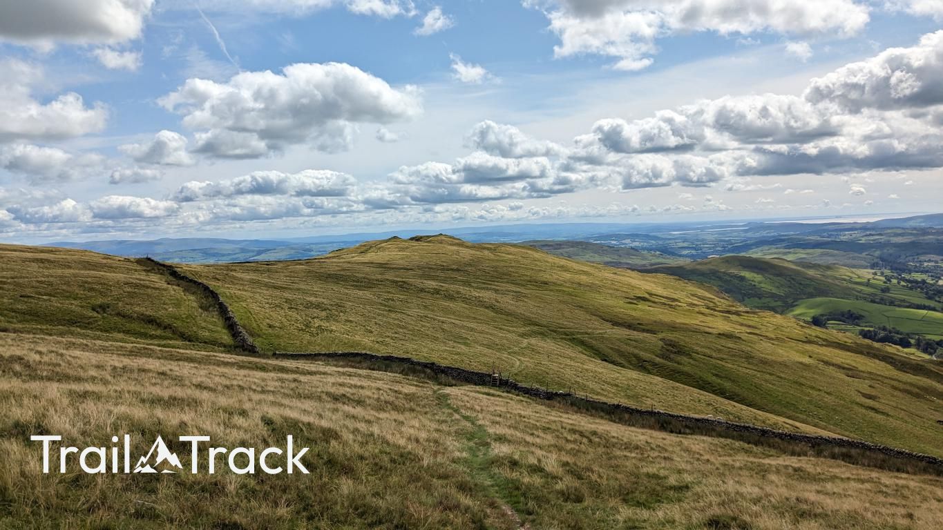
Perched on the undulating ridge between Kentmere and Longsleddale, this grassy Birkett offers a quieter perspective on the Far Eastern Fells. Characterised by the steep, craggy drop-offs to the east that give the hill its name, the summit provides an excellent vantage point over the remote upper reaches of Longsleddale.
Key Statistics
Rank
240th Highest in Region
Parent Range
Far Eastern Fells
Prominence
?
12m
Nearest Town
Sadgill
Geology
Goat Scar is shaped from ancient volcanic activity. Your path crosses layers of hardened lava flows and compressed volcanic ash that once erupted across this landscape.
Find It
Latitude
54.4549°N
Longitude
2.8138°W
Did You Know?
- •The name follows a common Cumbrian convention where 'scar' refers to a steep, rocky face or cliff, derived from the Old Norse 'skjer'. The prefix likely refers to the feral goats that historically frequented these secluded Lakeland crags.
- •While not classified as a Wainwright, the hill is recognised by both Bill Birkett and Tim Synge as a distinct summit, making it a popular 'bag' for those looking to complete the lesser-known lists of the Lake District.
- •The summit lies just off the main ridge path connecting Shipman Knotts to Kentmere Pike. A sturdy drystone wall—a characteristic feature of these eastern fells—runs along the spine of the ridge nearby, acting as a reliable navigational handrail.
- •The view to the north is dominated by the massive southern face of Harter Fell and the steep zig-zags of the Gatescarth Pass, an ancient track that historically linked the two valleys for peat and slate transport.
- •Despite the name, you are far more likely to find yourself sharing the summit with a few hardy Swaledale sheep than a mountain goat.