Lake District
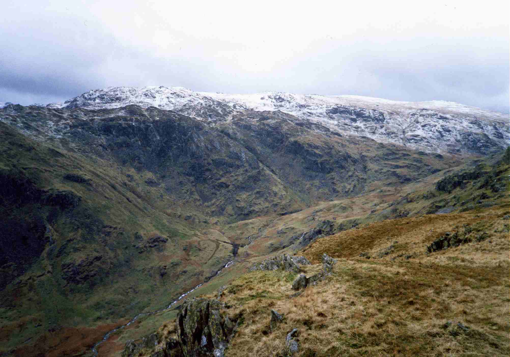
Tarn Crag (Easedale)
549M
1801FT
About Tarn Crag (Easedale)
Tarn Crag offers a rewarding climb from Grasmere, featuring a classic rocky skyline above Easedale Tarn. While not the highest peak, the ascent past the spectacular Sourmilk Gill waterfalls provides some of the most enjoyable rough-ground walking and impressive glacial scenery in the Central Fells.
Key Statistics
Rank
331st Highest in Region
Parent Range
Central Fells
Prominence
?
4m
Nearest Town
Elterwater
Geology
You’re walking on layers of ancient volcanic ash, sandstone and broken rock fragments. A dark andesite intrusion also underlies the fell.
Classifications
Find It
Latitude
54.4743°N
Longitude
3.0760°W
Did You Know?
- •The fell's defining feature is the massive, broken crag on its southern face, carved by a corrie glacier that left behind the deep basin of Easedale Tarn over 11,000 years ago.
- •During the 19th century, the climb to the tarn beneath Tarn Crag was so popular that a commercial refreshment hut was established to serve walkers; today, only its foundations remain.
- •The summit plateau is composed of Borrowdale Volcanic rocks, with the highest point situated on a small, glaciated rocky knoll that offers clear views down to Grasmere.
- •Sourmilk Gill, which drains the tarn below the crag, earned its name from the distinctive milky-white appearance of its cascades during heavy rainfall, a sight that has drawn tourists since the Victorian era.
- •If you’re heading north toward Codale Head after reaching the summit, be prepared for a masterclass in bog-hopping; the peat hags here remain a committed swamp long after the rest of the district has dried out.