Lake District
Swinside
509M
1669FT
About Swinside
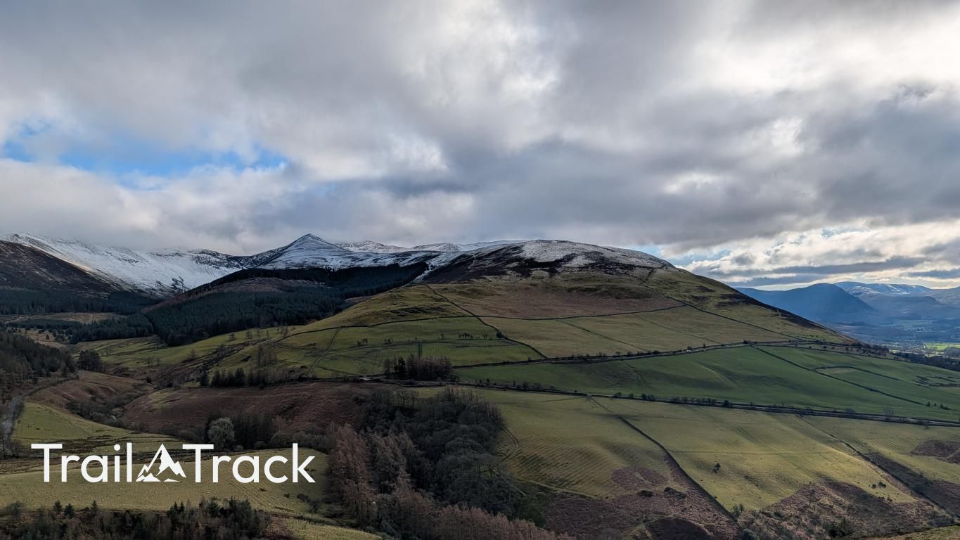
Rising above the Lorton Valley, this modest Birkett marks the quiet western terminus of the Whiteside ridge. Its grassy slopes offer a peaceful vantage point away from the North Western giants, providing clear, uncrowded views across the Loweswater fells and the verdant patchwork of the Lorton Vale below.
Key Statistics
Rank
401st Highest in Region
Parent Range
North Western Fells
Prominence
?
6
Nearest Town
High Lorton
Geology
The ground beneath you is built from layers of fine mudstone and siltstone, alongside a durable, muddy type of sandstone.
Classifications
Find It
Latitude
54.6037°N
Longitude
3.2761°W
Did You Know?
- •The name Swinside likely derives from the Old Norse 'svín-setr', meaning a pig pasture or a hillside where pigs were kept, reflecting its historical use as common grazing land.
- •Author Bill Birkett included this 509-metre top in his 'Complete Peaks', noting it as an excellent viewpoint for surveying the dramatic northern crags of Whiteside and Hopegill Head.
- •From the summit, the view west is particularly sharp, framing the Cumbrian coastal plain and the Solway Firth, while the massive northern wall of Grasmoor dominates the skyline immediately to the south.
- •The hill is most easily approached from the quiet hamlet of Hopebeck, following a rising traverse that avoids the steeper screes found further east on the Whiteside massif.
- •Hillwalkers should check their maps carefully: this North Western Birkett is a different prospect entirely to the 244-metre Swinside near Braithwaite or the Swinside stone circle found in the south of the county.