Lake District
Dodd (Lorton)
454M
1489FT
About Dodd (Lorton)
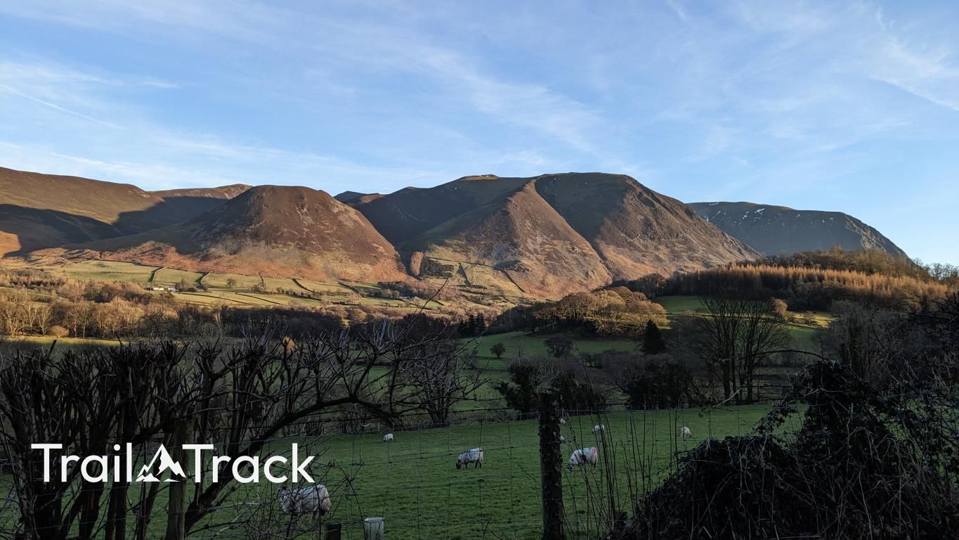
Dodd is a sharp, conical shoulder sitting at the western foot of Whiteside. While often overlooked for its higher neighbor, it offers a steep, rewarding climb from the Lorton valley.
Key Statistics
Rank
500th Highest in Region
Parent Range
North Western Fells
Prominence
?
40
Nearest Town
High Lorton
Geology
You’re walking on rugged wacke, a coarse‑grained rock from the Loweswater Formation. Beneath it lie soft mud and fine sandstone from the Hope Beck Formation.
Find It
Latitude
54.5959°N
Longitude
3.2877°W
Did You Know?
- •Dodd acts as the terminal peak of the long ridge extending from Grisedale Pike through Hopegill Head and Whiteside, dropping steeply into the Lorton Vale.
- •The fell is composed primarily of Skiddaw Slate, which contributes to the characteristic steep, scree-covered slopes found on its southern face overlooking Gasgale Gill.
- •The name 'Dodd' is a common Cumbrian topographic term likely derived from Old Norse, used to denote a rounded or blunt-topped hill, often appearing as a spur of a larger fell.
- •The southern slopes of Dodd plunge dramatically into the deep ravine of Gasgale Gill, a rugged valley that separates the Whiteside massif from the towering bulk of Grasmoor.
- •Despite its modest height, the direct ascent from Lorton is a relentless, grass-tufted calf-killer that might make you wish you'd just stayed in the Kirkstile Inn.