Lake District
Hobcarton End
634M
2079FT
About Hobcarton End
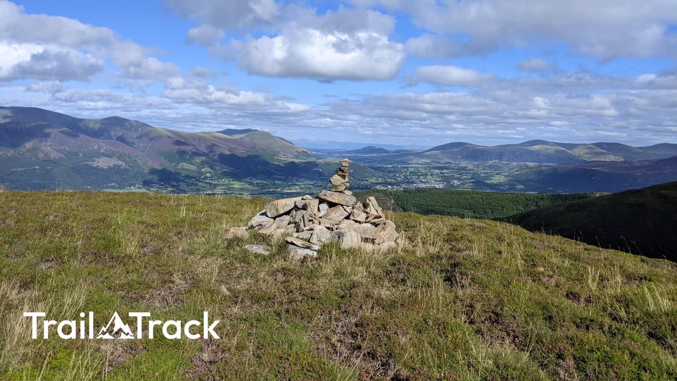
Rising as a distinctive northern shoulder of Hopegill Head, this Birkett offers a quieter, grassy vantage point over the Whinlatter Pass. While the summit is gentle, it sits directly above the dark, dramatic plunge of Hobcarton Crags, providing an excellent perspective on the rugged North Western fells without the summit crowds.
Key Statistics
Rank
226th Highest in Region
Parent Range
North Western Fells
Prominence
?
14.1m
Nearest Town
Lorton
Geology
Hobcarton End is built on a foundation of hard sandstone, mudstone, and siltstone. These layered rocks form the sturdy, rugged ground beneath your boots.
Classifications
Find It
Latitude
54.6000°N
Longitude
3.2472°W
Did You Know?
- •The name Hobcarton is likely derived from the Old Norse 'hop', meaning a small enclosed valley, and 'kjarr', referring to brushwood or marshy ground, describing the land at the foot of the ridge.
- •While Alfred Wainwright did not grant it the status of a separate peak, both Bill Birkett and Timothy Synge listed this high point as a distinct summit in their respective guides to the Lakeland fells.
- •The precipitous northern face below the summit, known as Hobcarton Crags, is a Site of Special Scientific Interest and is famously the only location in England where the rare purple alpine catchfly is known to grow.
- •From this vantage point, there is a particularly clear, head-on view across the valley to the forested slopes of Whinlatter and the long, sweeping eastern ridge of Grisedale Pike.
- •The summit serves as a convenient place to pause and adjust your laces, allowing for a tactical recovery before the ridge narrows and steepens significantly for the final pull onto Hopegill Head.