Lake District
Whinlatter Top
525M
1722FT
About Whinlatter Top
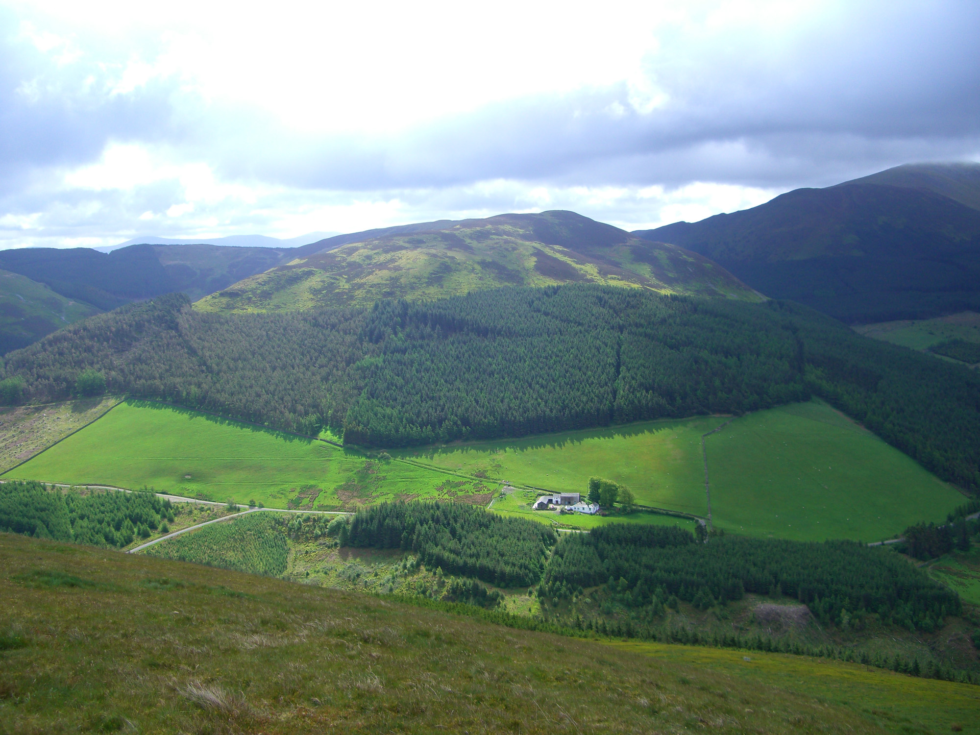
Rising above the densest forest in the Lake District, this heather-topped ridge offers a quiet escape from the busy mountain bike trails below. The climb from the Whinlatter Pass is short but steep, leading to a summit plateau with clear views across the Vale of Lorton toward the dramatic Crummock Water fells.
Key Statistics
Rank
368th Highest in Region
Parent Range
North Western Fells
Prominence
?
58m
Nearest Town
Thornthwaite
Geology
You are standing on the Loweswater Formation, a layer of muddy sandstone known as wacke.
Find It
OS Grid Reference
NY196249
Latitude
54.6129°N
Longitude
3.2449°W
Did You Know?
- •The name derives from the Old Norse 'hvin' (gorse) and 'hlata' (slope), translating literally as 'the gorse-covered hillside', a description that still holds true for much of the lower terrain.
- •Whinlatter is the highest point of England’s only mountain forest, a sprawling Forestry Commission plantation established in the 1920s to provide timber and create jobs in the post-war era.
- •Bill Birkett notes that the fell features two distinct summits of similar height; Whinlatter Top is the westernmost of these and serves as the fell's highest point.
- •From the summit cairn, the view south is dominated by the dramatic, scooped-out corries of the North Western Fells, specifically the sharp northern face of Grisedale Pike and the dark crags of Hobcarton Crag.
- •While the Forestry Commission has spent years smoothing out the lower slopes for cyclists, the summit remains stubbornly Lakeland in character, usually requiring a careful dance around several persistent peat hags.