Lake District
High Pen
475M
1558FT
About High Pen
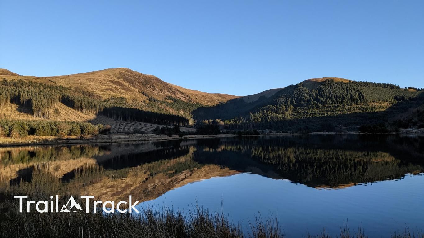
Overlooking the quiet waters of Cogra Moss, this grassy spur on the western fringes of the Lake District offers a peaceful alternative to the central fells. Rising above Lamplugh, its slopes provide an airy perspective of the coastal plain, marking the transition from rugged fellside to the lowlands of West Cumbria.
Key Statistics
Rank
467th Highest in Region
Parent Range
Western Fells
Prominence
?
18m
Nearest Town
Lamplugh
Geology
High Pen is built from the Kirk Stile Formation, a solid foundation of ancient, hardened mud and silt.
Find It
Latitude
54.5575°N
Longitude
3.3778°W
Did You Know?
- •The name 'Pen' derives from the Old Cumbric or Brythonic word for a head or summit, a linguistic survivor from the Celtic tribes who once inhabited these western valleys.
- •Though it serves as a subsidiary shoulder to the higher Blake Fell, High Pen is listed as a distinct summit by Bill Birkett, valued for its position on the very edge of the National Park.
- •The most direct ascent begins at the Cogra Moss reservoir, following a steep track through the forestry of Lamplugh Woods before the terrain opens into typical West Lakeland grass and heather.
- •Its western vantage point offers an earned view across the Solway Firth to the Galloway Hills of Scotland and the Isle of Man, features often hidden from the more central Lake District peaks.
- •It provides one of the best seats in the house for watching weather systems roll in from the Irish Sea, long before they reach the more famous central summits.