Lake District
Gavel Fell
524M
1720FT
About Gavel Fell
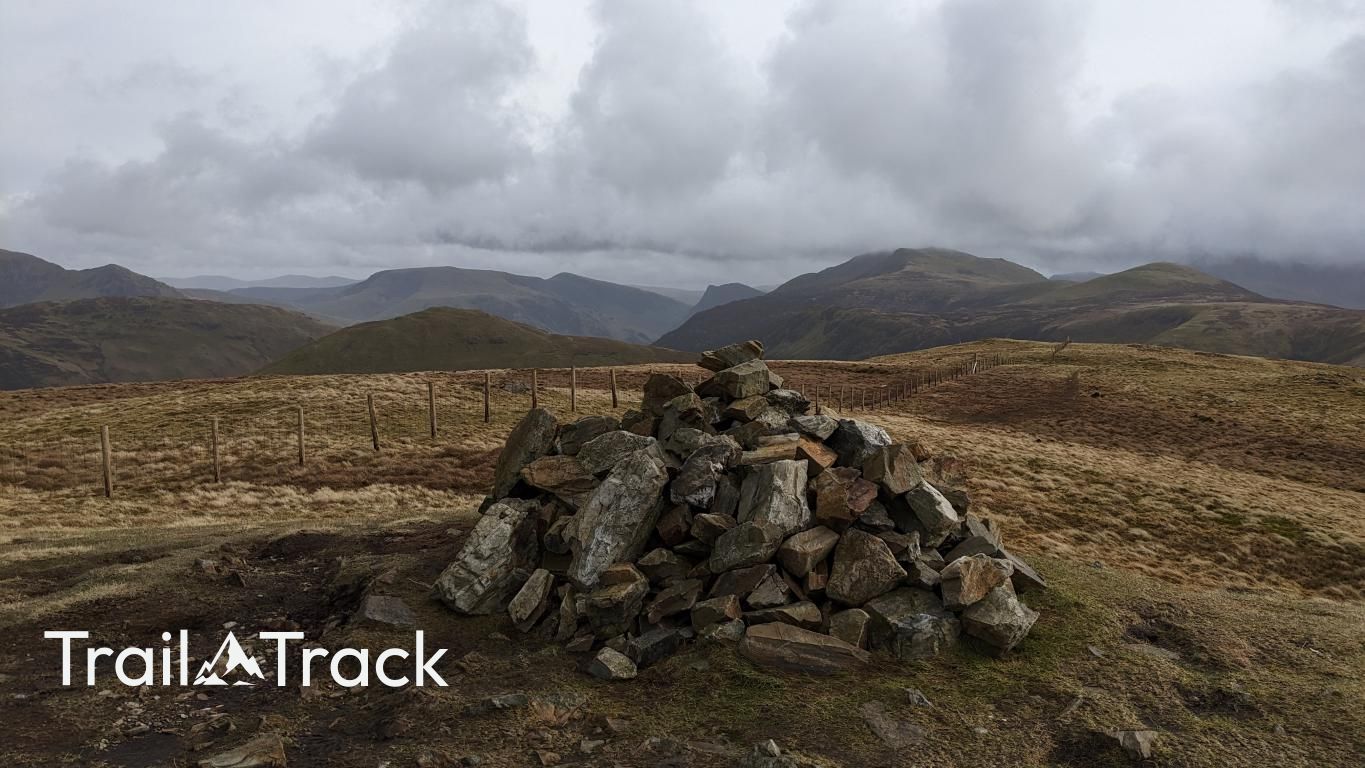
Gavel Fell is a quiet, grassy summit in the Loweswater group, often overlooked for its more dramatic neighbours. It offers a straightforward climb from Lamplugh or Loweswater, rewarding hikers with sweeping views over the Cumbrian coastal plain and the Solway Firth on clear days.
Key Statistics
Rank
371st Highest in Region
Parent Range
Western Fells
Prominence
?
73.7m
Nearest Town
Loweswater
Geology
You’re walking on the Kirk Stile Formation, which is made up of mudstone and siltstone layers laid down in the distant past.
Classifications
Find It
Latitude
54.5540°N
Longitude
3.3675°W
Did You Know?
- •The name 'Gavel' likely derives from the Old Norse 'gafl', meaning a gable-end or a steep hill-side, which describes the mountain's profile when viewed from certain angles.
- •Unlike the rugged volcanic rocks of the central Lake District, Gavel Fell is composed of Skiddaw Slate, resulting in smoother, grassier slopes and a softer topographical profile.
- •The summit sits on the historic boundary between the parishes of Lamplugh and Loweswater, marked by a long wire fence that provides a useful navigational handrail in thick mist.
- •The fell overlooks the High Nook valley, where hikers can still trace the old peat-cutters' tracks that were once the primary industrial arteries of this quiet corner of the fells.
- •The col between Gavel Fell and Blake Fell is notorious for its 'spongy' character; it is a place where your walking boots and the local peat bog will likely become very closely acquainted.