Lake District
Knock Murton
446M
1464FT
About Knock Murton
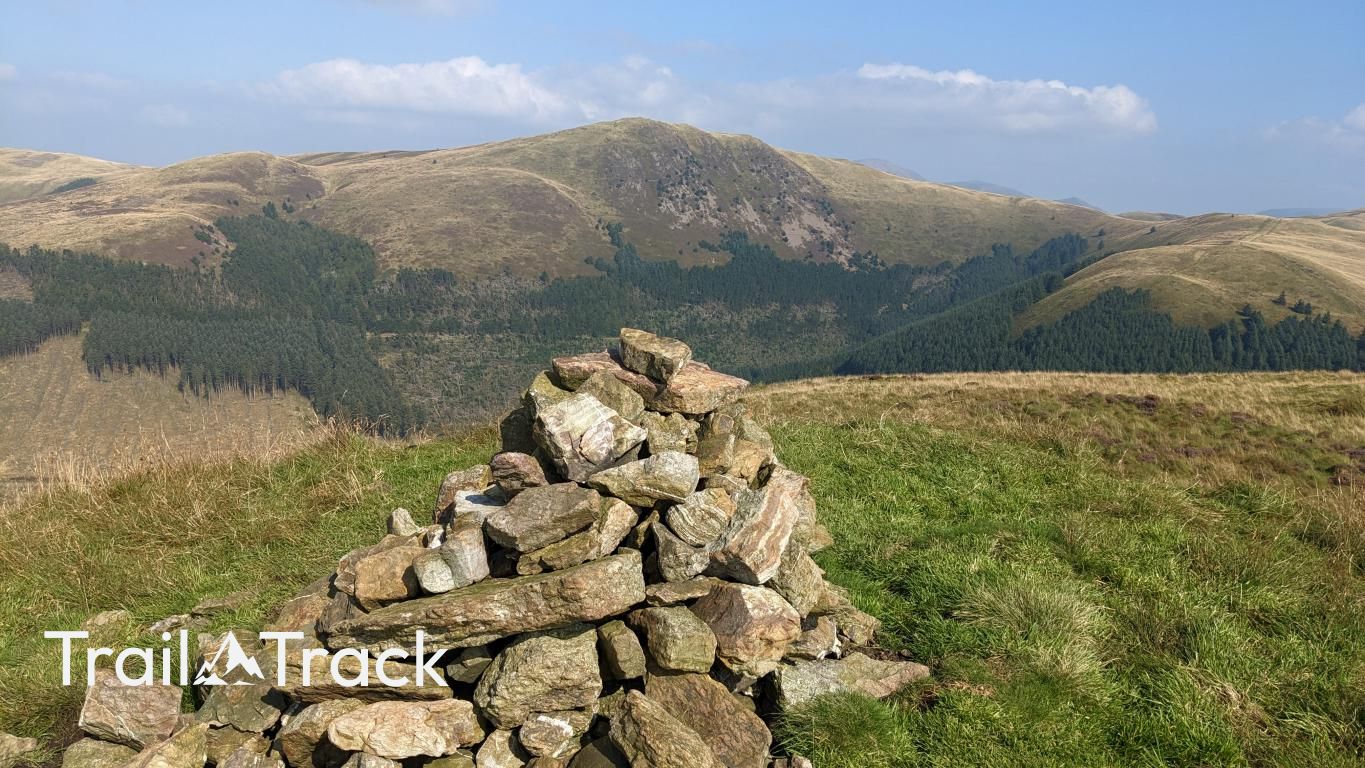
Knock Murton is a steep, grassy fell overlooking the Cogra Moss reservoir in the western fringes of the Lakes. Known for its mining heritage, it offers a sharp, direct ascent rewarded by sprawling views of the Solway Firth and the Scottish coastline.
Key Statistics
Rank
516th Highest in Region
Parent Range
Western Fells
Prominence
?
140
Nearest Town
Kirkland
Geology
You’re walking on layers of low‑grade, sandstone‑like rock called wacke, overlain by softer mudstone and siltstone from the Kirk Stile Formation.
Find It
Latitude
54.5589°N
Longitude
3.4012°W
Did You Know?
- •The fell's northern slopes are heavily scarred by 19th-century hematite mining, where deep excavations once provided high-quality iron ore for the West Cumberland industry.
- •The name is a linguistic tautology, combining the Goidelic 'Knock' (hill) with the Old English 'Murton' (moor-town), essentially meaning the hill of the moor-town.
- •Alfred Wainwright famously labeled this 'the forbidden peak' and excluded it from his pictorial guides because it was entirely encircled by a deer fence during his surveys. These days there are a few ways up and the views are worth it!
- •The summit provides an exceptional vantage point for viewing Cogra Moss, a former reservoir that has since been naturalized into a peaceful forest tarn.
- •While no longer legally forbidden, the ascent is a relentless, calf-stretching treadmill of grass that might make you wish the Forestry Commission had kept the fences up.