214 Miles
Coast to coast
Scotland’s longest official Great Trail runs from Portpatrick on the Atlantic coast to Cockburnspath beside the North Sea.
Region guide
“O Caledonia! stern and wild, Meet nurse for a poetic child! Land of brown heath and shaggy wood, Land of the mountain and the flood!”
— Sir Walter Scott, The Lay of the Last Minstrel
Highest Summit
Merrick — 843mHigh-Level Ridge
Rhinns of Kells — more than 15km from end to endWaterfall Drop
Grey Mare’s Tail — 60mDonalds
89 Donalds above 2,000 feetHighest Village
Wanlockhead — 467m above sea levelDark Sky Pioneer
Galloway — the UK’s first Dark Sky ParkAbout the region
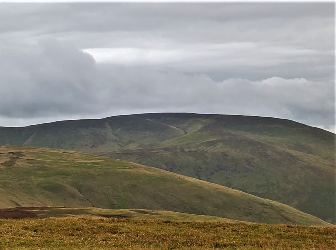
The Southern Uplands stretch across Scotland from the rocky coast of Galloway to the rolling hills of the Borders. They lack the height of the Highlands, but compensate with long ridges, remote moorland and paths where another walker can feel like an unexpected development.
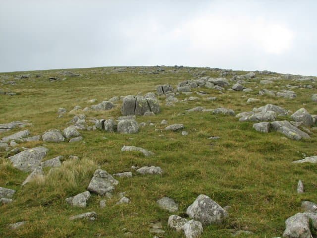
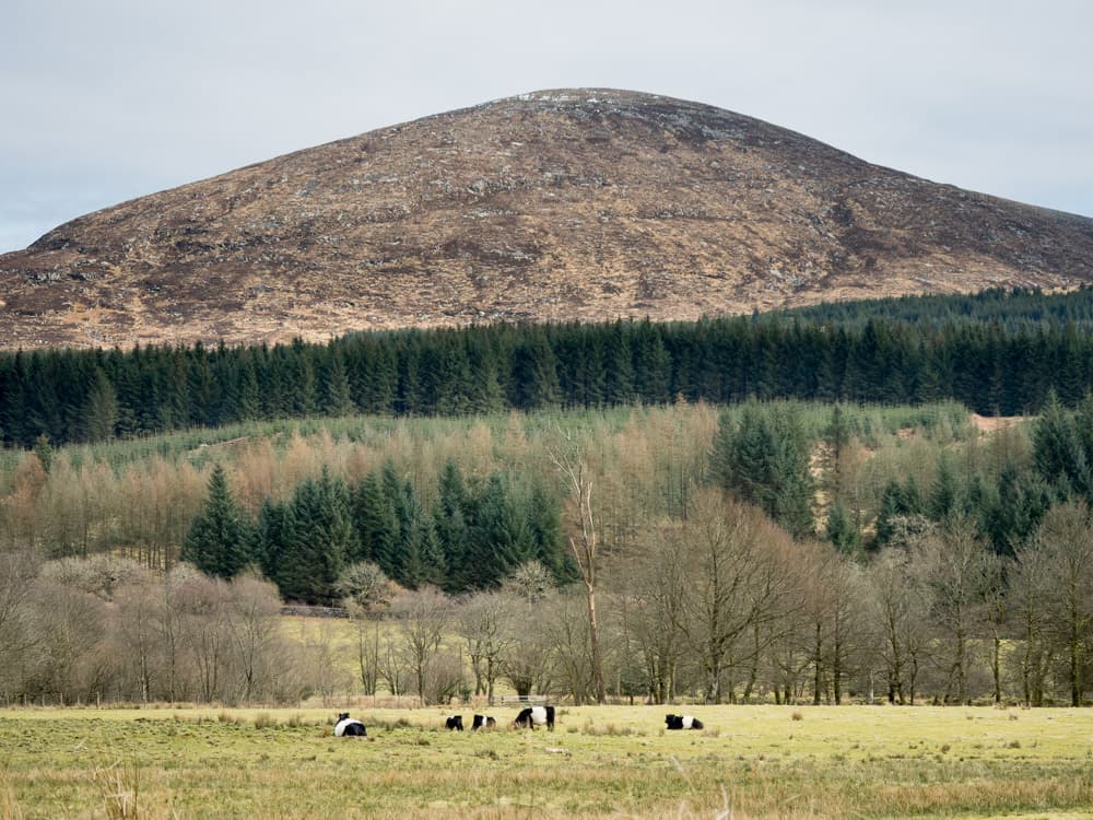
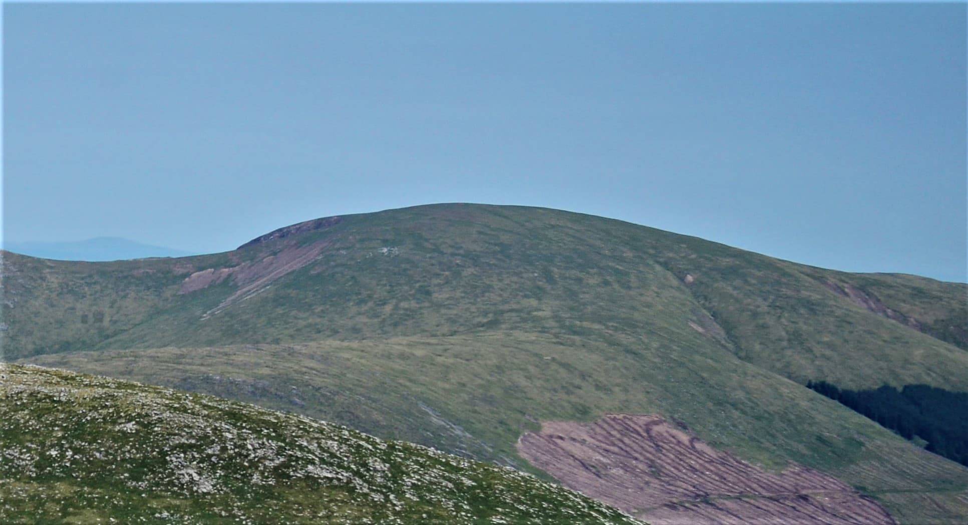
The Galloway Hills form the wildest section. Merrick rises above Loch Trool, while the Awful Hand, Dungeon Hills and Rhinns of Kells provide demanding traverses over granite, peat and rough grass. Forestry surrounds much of the range, making the open summits feel even more isolated.
Further east, the Lowther and Moffat Hills are smoother but no less serious in poor weather. White Coomb rises above Grey Mare’s Tail and Loch Skeen, while Hart Fell, Broad Law and the Tweedsmuir Hills create broad watersheds crossed by old drove roads.
The landscape softens towards the Borders, where lower hills overlook the valleys of the Tweed, Yarrow, Ettrick and Teviot. Forts, abbeys, towers and long-forgotten tracks appear throughout the region.
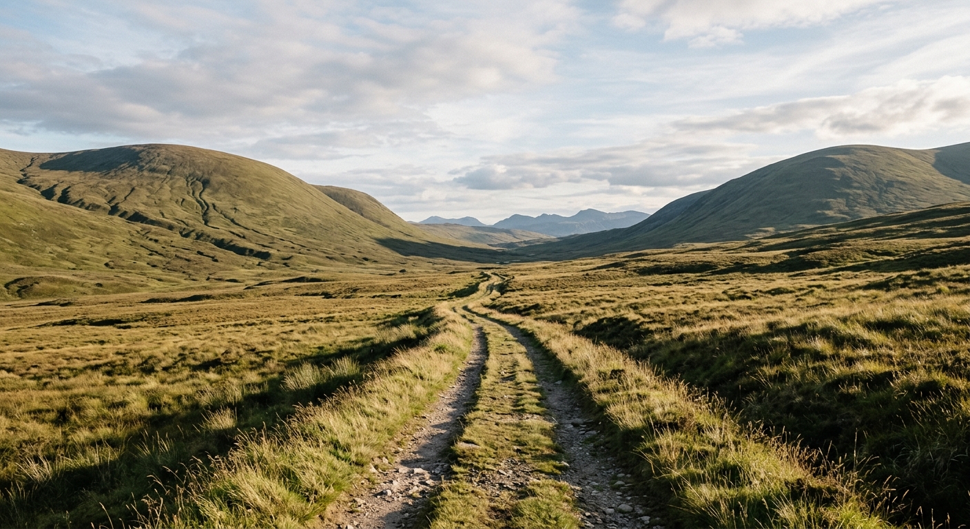
This is excellent country for long, quiet days rather than dramatic scrambling. Navigation can be challenging on featureless plateaux, particularly when mist settles over the tops. The distances are often substantial, the ground frequently wet and the silence rather difficult to improve upon.
Regional signature
214 Miles
12 Sections
Two Wild Halves
Grey Mare’s Tail runs strongly and the forests begin to brighten. Ground-nesting birds return to the moors, so dogs should remain under close control.
Best for: Waterfalls, woodland and nesting birdsLong daylight suits the Rhinns of Kells and extended Southern Upland Way stages. Even in summer, exposed plateaux can be wet, windy and surprisingly cold.
Best for: Long ridges and multi-day trailsGalloway’s forests take on autumn colour and cooler days suit long climbs. Earlier darkness makes the region’s remote approaches more consequential.
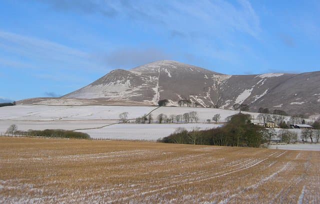
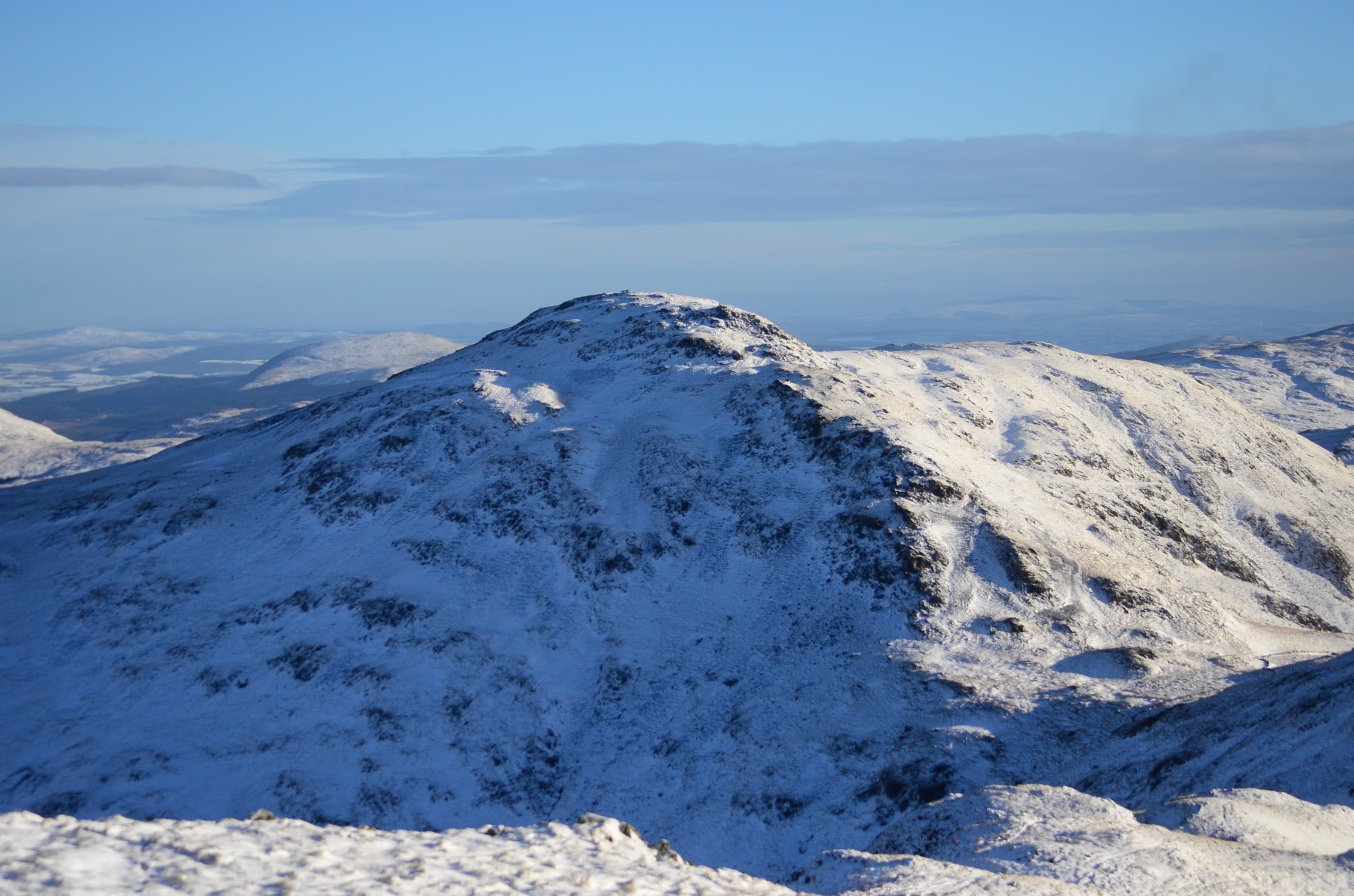
Best for: Forest colour, clear skies and quieter hillsSnow regularly reaches the higher Donalds, while ice and wind can transform otherwise gentle slopes. Clear winter nights provide exceptional views of the stars.
Best for: Experienced walkers and stargazingTrailTrack Favourites
Ten hills chosen by TrailTrack
Continue exploring
Take the long way across Scotland’s quietest hills, where empty ridges link two coasts and centuries of Border history.