Fifteen Summits
All above 3,000ft
The Welsh 3000s stretch across the Yr Wyddfa, Glyderau and Carneddau ranges, forming the country’s best-known peak-bagging challenge.
Region guide
“These shapeliest of British hills, their physical forms so graceful that only musical notation can adequately describe the swoop and soar of their ridges.”
— Jim Perrin, climber, outdoor writer and long-time resident of Eryri
Highest Mountain
Snowdon - Yr Wyddfa — 1,085mWelsh 3000s
15 SummitsClassic Scramble
Tryfan North Ridge — Grade 1Knife-Edge Challenge
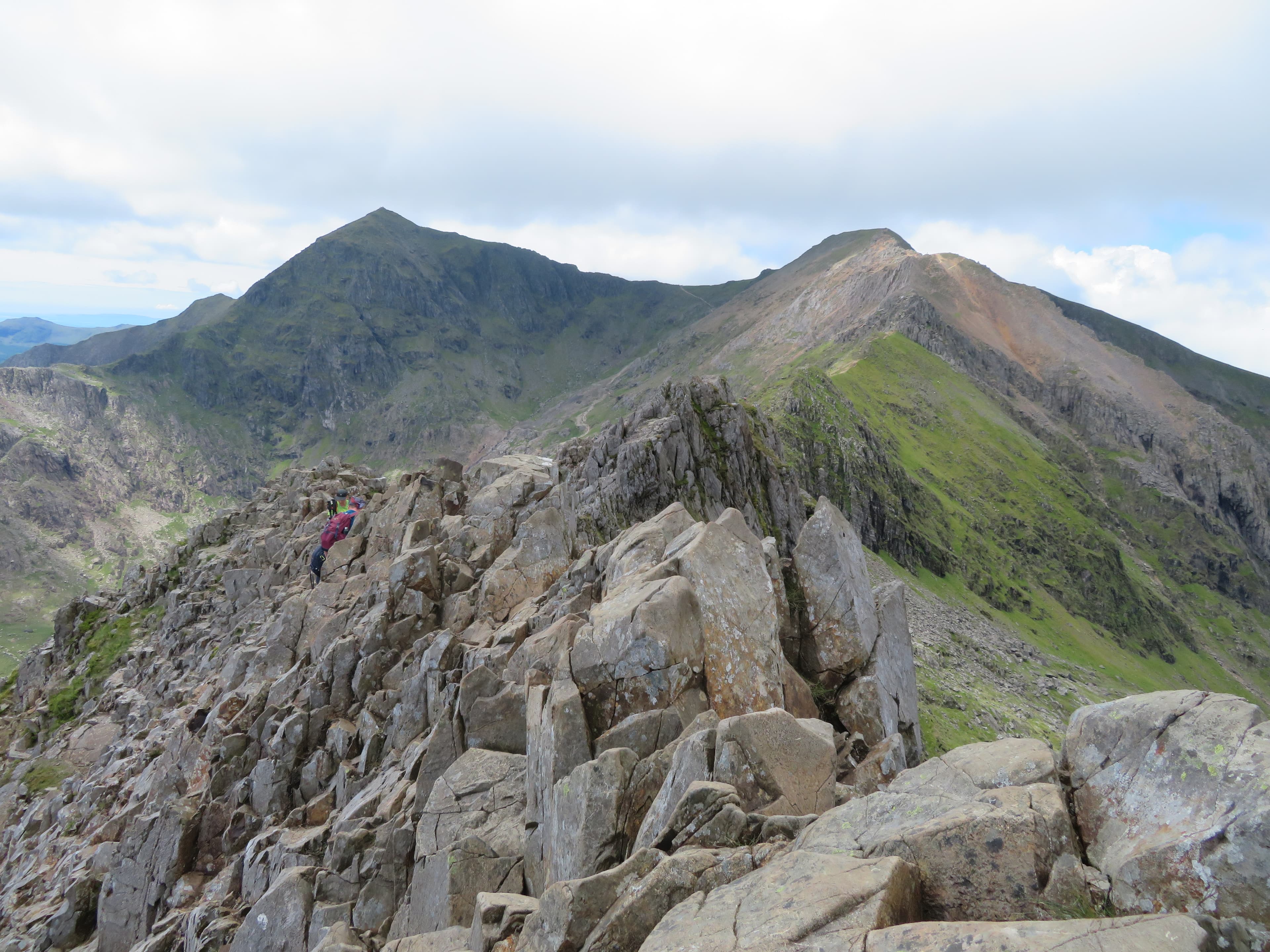
Crib Goch — 924mSnowdon Horseshoe
Approximately 12kmNantlle Ridge
Approximately 14kmAbout the region
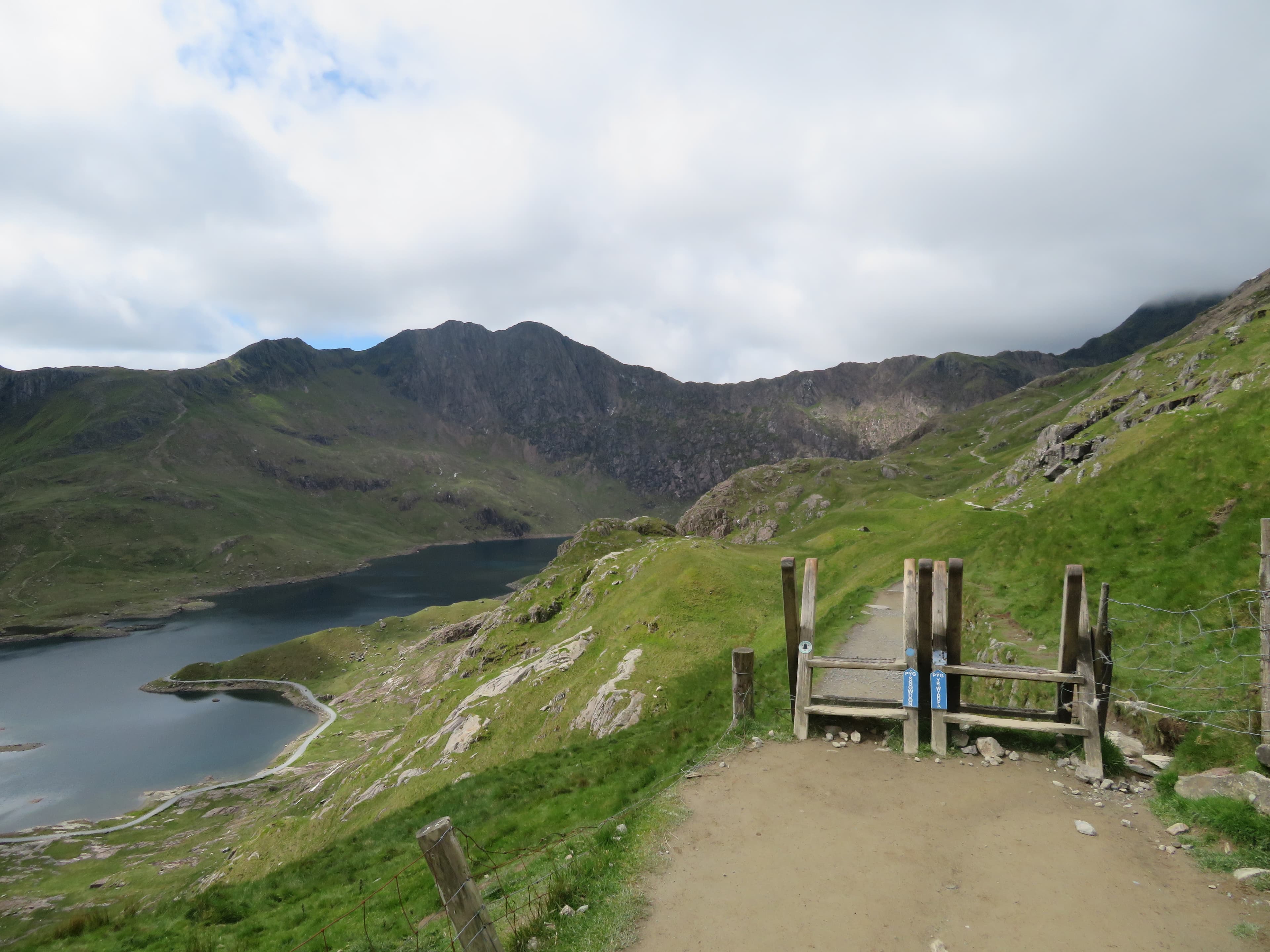
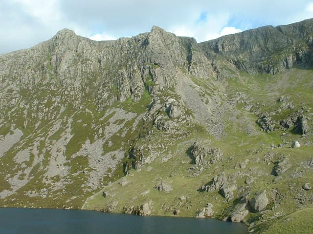
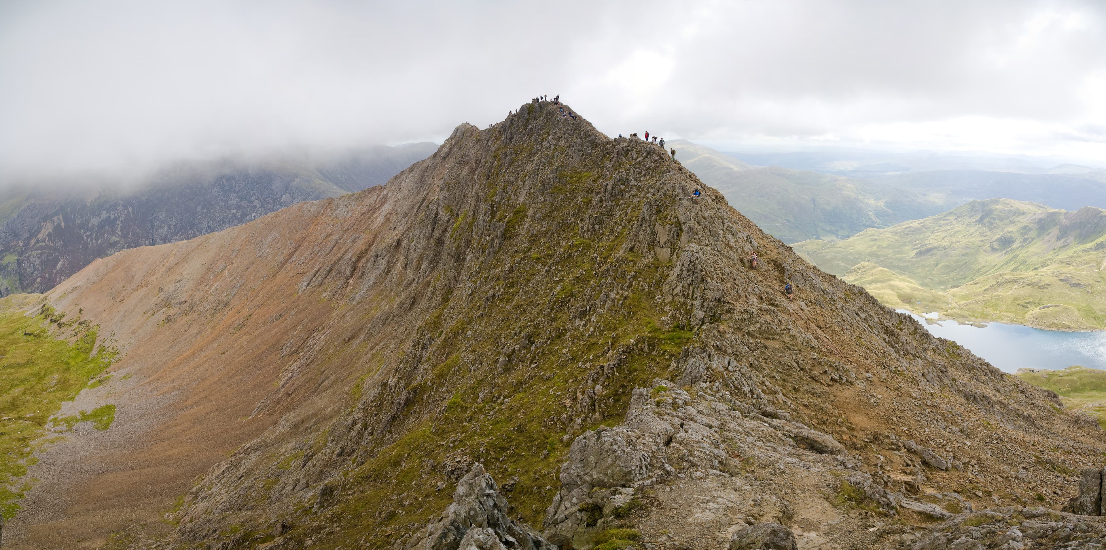
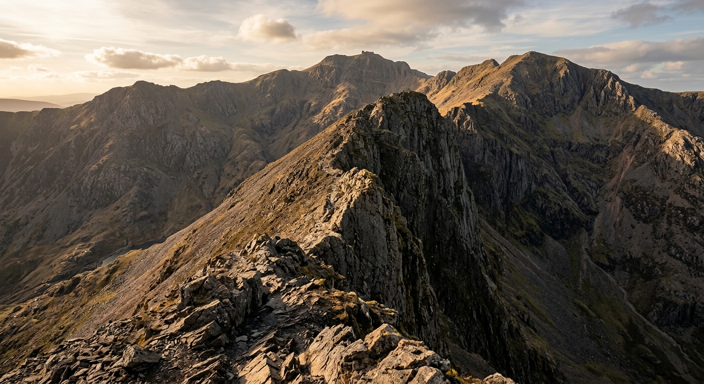
Eryri contains the highest and most dramatic mountain country in Wales, but its character changes markedly from one valley to the next. Around Yr Wyddfa, rocky ridges converge above deep glacial cwms, creating everything from well-built summit paths to the exposed scramble across Crib Goch.
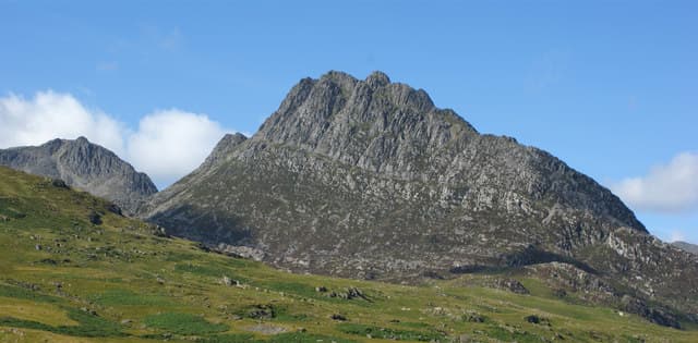
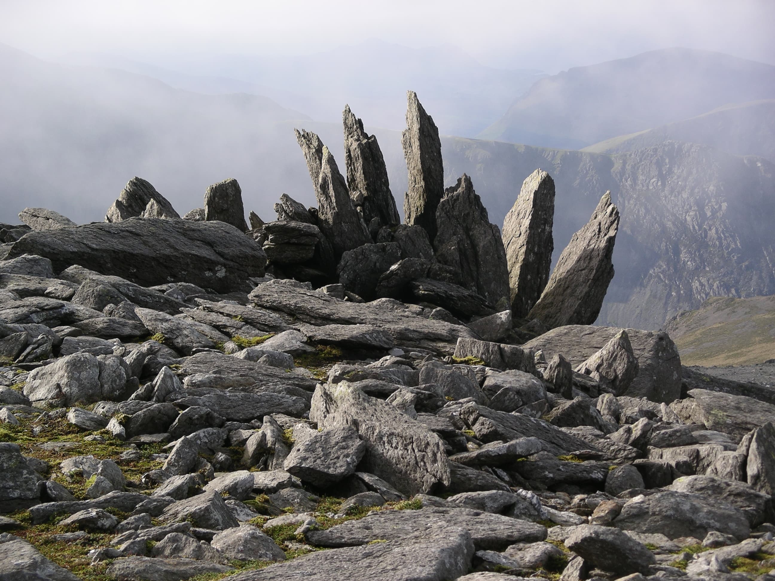
The neighbouring Glyderau are rougher underfoot. Tryfan rises directly from the Ogwen Valley, while Glyder Fach and Glyder Fawr form a landscape of shattered rock, enormous boulders and strange formations. To the north, the Carneddau provide longer and generally quieter days across broad ridges where wild ponies roam.
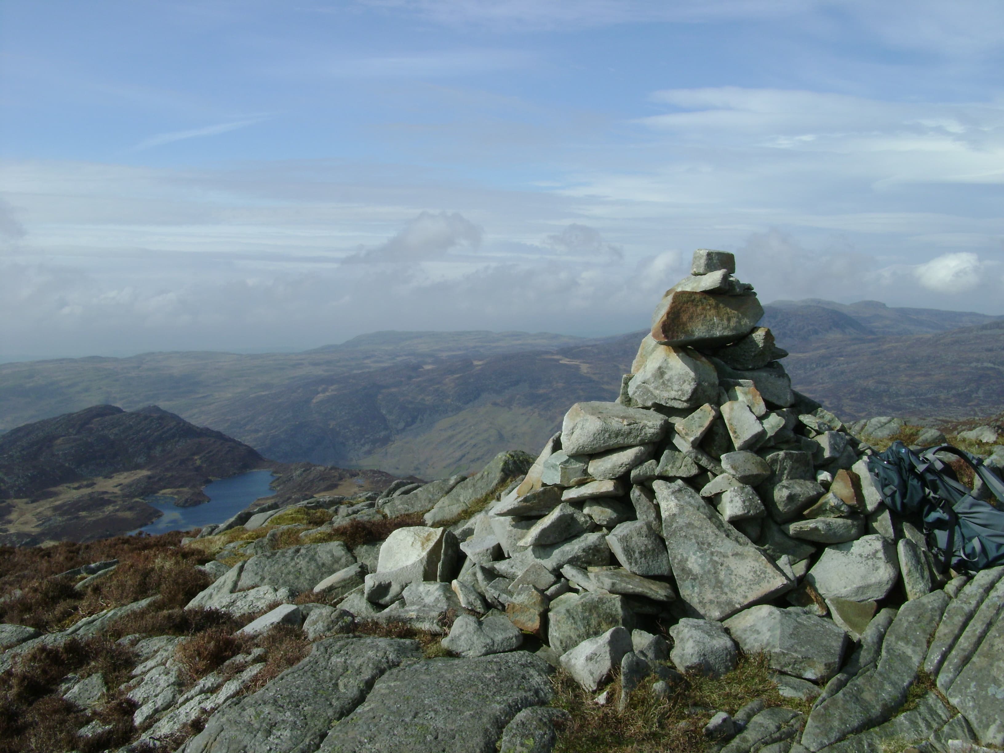
The mountains continue well beyond these famous northern groups. The Nantlle Ridge offers sustained, narrow walking above Cwm Pennant, while Moel Hebog rises steeply behind Beddgelert. The Moelwynion combine rocky summits with abandoned quarries, tramways and reservoirs. Farther south, Cadair Idris dominates the Mawddach landscape, and the Rhinogydd replace clear paths with heather, rock and some of the toughest walking terrain in Wales.
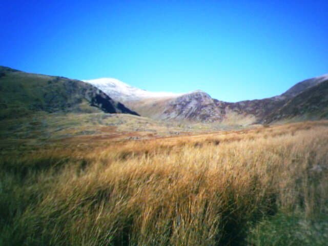
Eryri can be exceptionally busy, particularly around Yr Wyddfa and the Ogwen Valley. Walk beyond the obvious starting points, however, and the crowds quickly fall away. This is a region of scrambles, mountain circuits and quieter ridges where distance on the map rarely tells the whole story.
Regional signature
Fifteen Summits
Three Mountain Ranges
One Continuous Challenge
Longer days open up the higher routes, although snow and ice can remain on shaded ground. Lambing restrictions may affect access across some farmland.
Best for: Quieter ridges and improving conditionsExtended daylight suits major mountain circuits and traverses. Yr Wyddfa, Tryfan and the Ogwen Valley become extremely busy, so early starts are sensible.
Best for: Long ridge walks and the Welsh 3000sCooler air can bring excellent visibility across the mountains and towards the coast. Shortening days require careful planning on the longer ridges.
Best for: Clear summit views and quieter pathsSnow, ice and strong winds can transform familiar scrambles into serious mountaineering objectives. Crib Goch and Tryfan require particular caution.
Best for: Experienced winter walkers and lower valley routesTrailTrack Favourites
Ten hills chosen by TrailTrack
Continue exploring
From broad mountain paths to exposed rocky ridges, Eryri has a route for every ambition — provided the weather agrees.