Highland Boundary Fault
Two landscapes meet
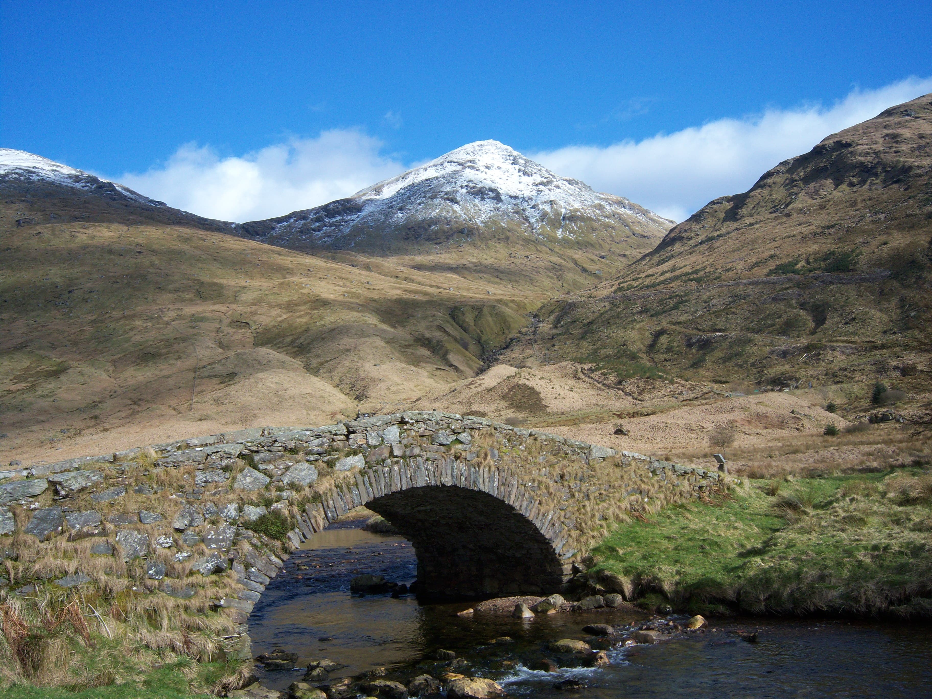
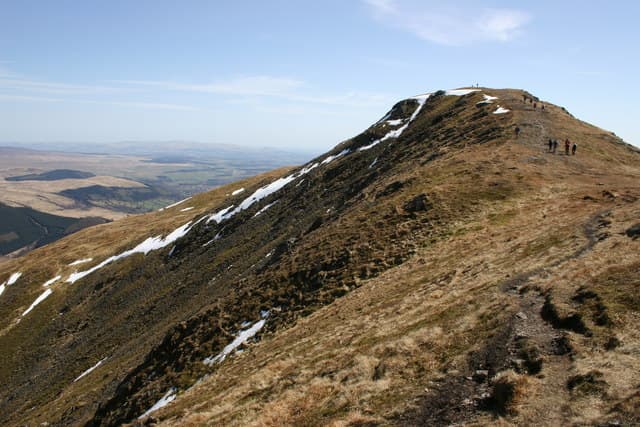
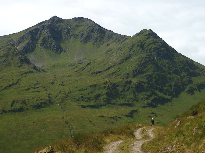
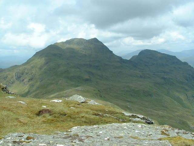
The fault crosses the park from Loch Lomond to Callander, creating a visible divide between the rolling Lowlands and the mountains of the Highlands.
Region guide
“So wondrous wild, the whole might seem the scenery of a fairy dream.”
— Sir Walter Scott
Highest Peak
Ben More — 1,174mLargest Loch
Loch Lomond — 24 miles longMunros
21Great Scottish Trail
West Highland WayRob Roy’s Birthplace
Glengyle — 1671National Park Area
1,865km²About the region
Loch Lomond & The Trossachs sits directly across the geological divide between Lowland and Highland Scotland. South of the Highland Boundary Fault, the landscape is gentler and more settled. To the north, steep mountains, narrow glens and long freshwater lochs take over with very little ceremony.
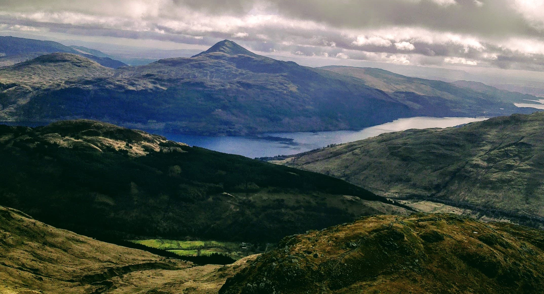
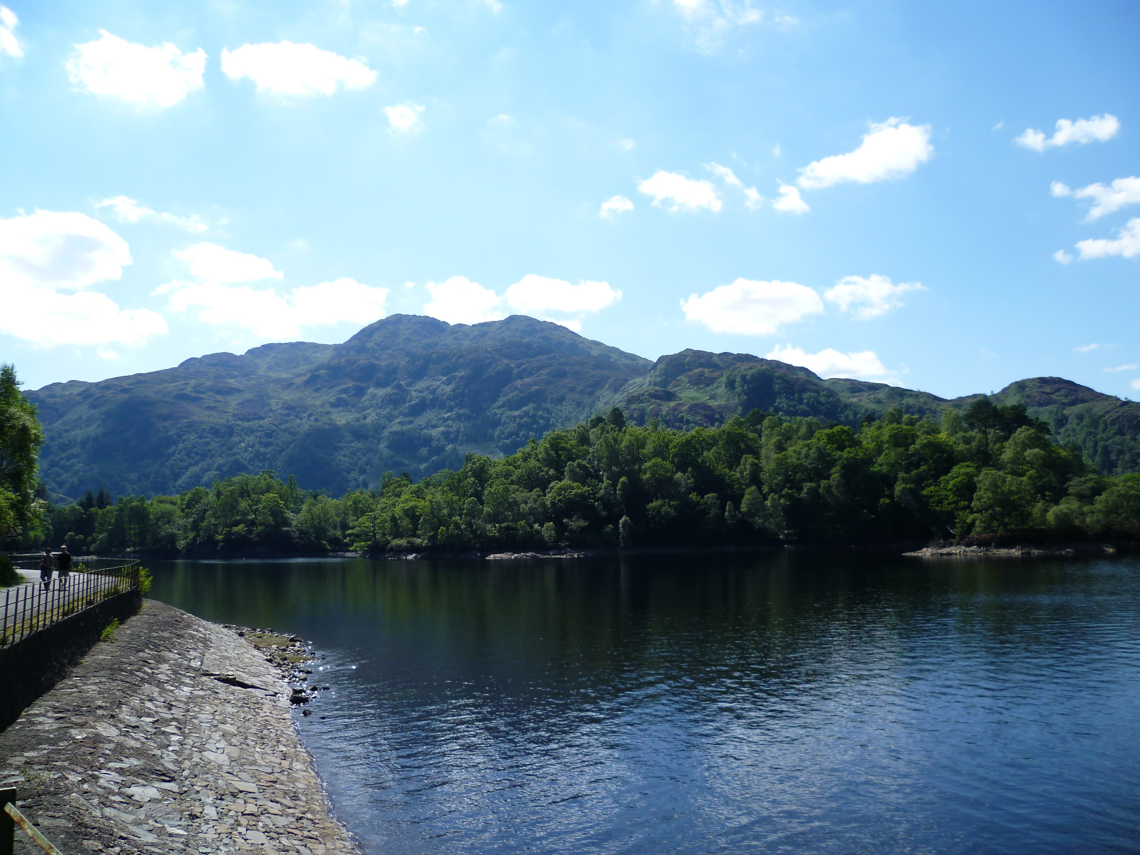
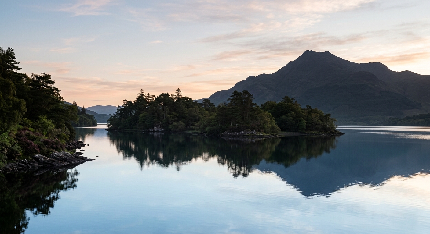
Loch Lomond forms the heart of the region. Its island-dotted southern waters narrow beneath increasingly high mountains, with Ben Lomond rising above the eastern shore. The West Highland Way follows much of this quieter side before continuing towards Crianlarich and the Highlands beyond.
East of the loch, the Trossachs bring together wooded hills, rocky summits and a chain of smaller lochs. Paths around Loch Katrine, Loch Achray and Loch Venachar lead into country made famous by Sir Walter Scott, while Ben Venue and Ben Ledi provide substantial days without reaching Munro height.
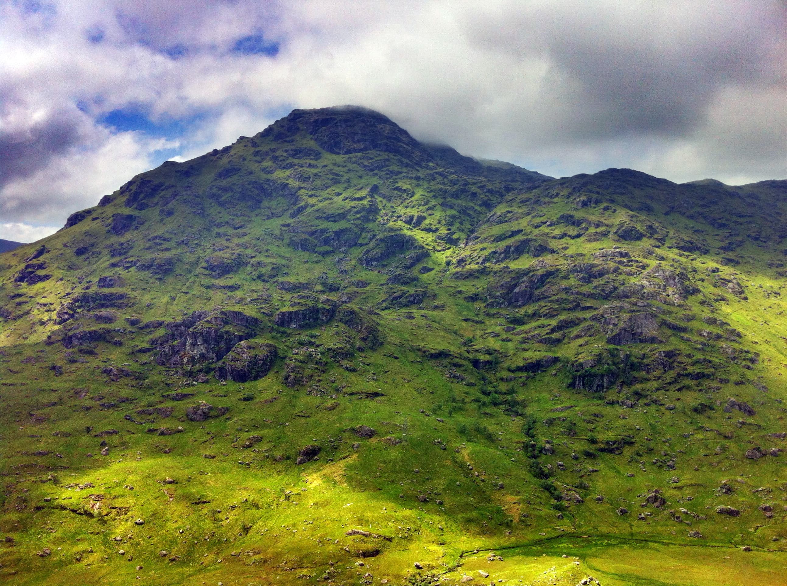
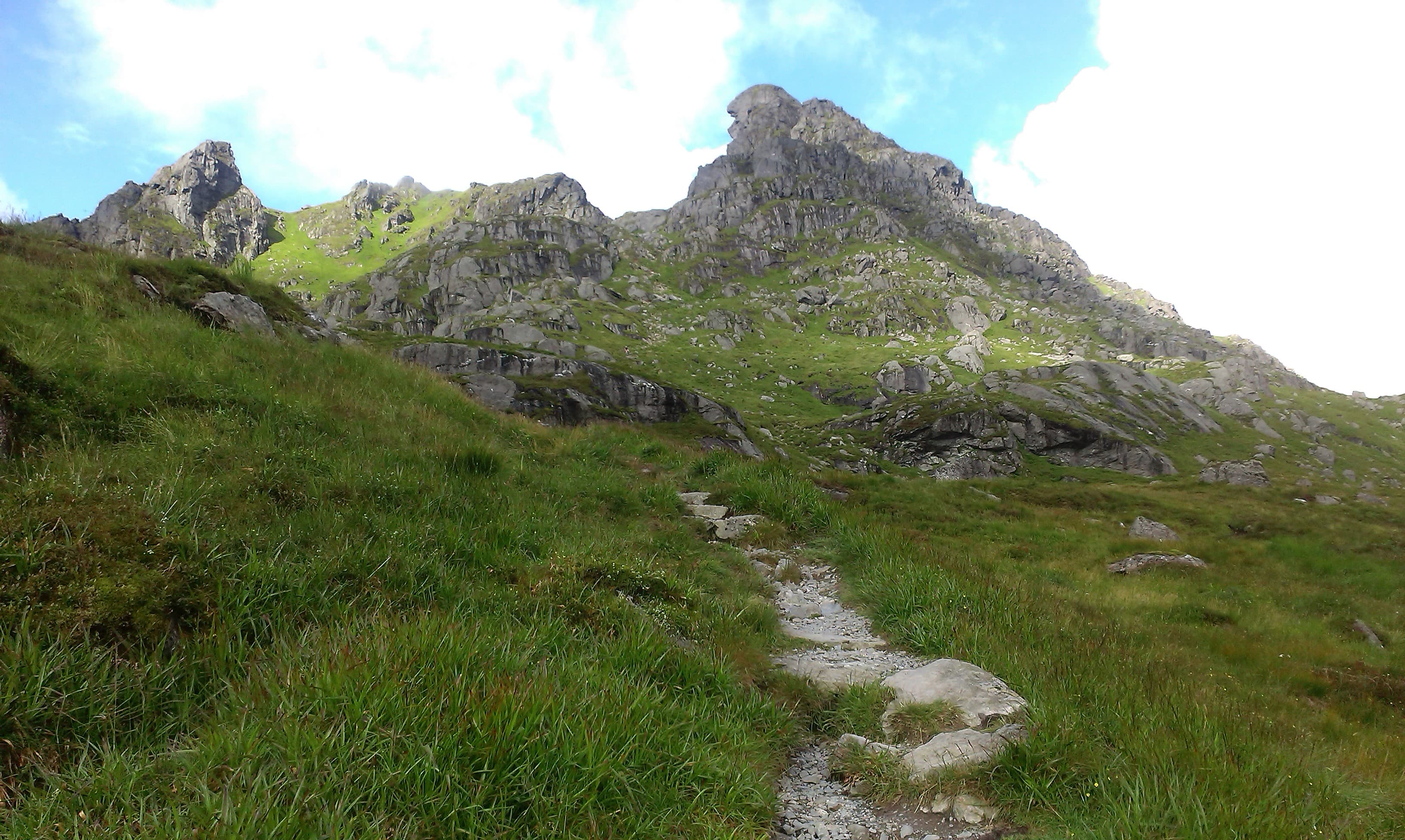
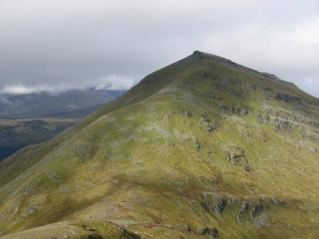
Farther north and west, the walking becomes wilder. Ben More, Stob Binnein and the Arrochar Alps offer long climbs, complex ridges and rapidly changing conditions. Yet lower routes are never far away. Forest trails, lochside paths and old railway lines make this one of Scotland’s most varied walking regions — and one of the easiest places to discover where the Highlands truly begin.
Regional signature
Highland Boundary Fault
Great Trossachs Forest
West Highland Way
Woodlands fill with new growth and the lower paths begin to dry. Snow can remain on the Munros long after the loch shores have turned green.
Best for: Woodland, waterfalls and quieter trailsLong daylight suits the region’s bigger mountain days. Lochside routes become busy, while midges are particularly enthusiastic around sheltered water and woodland.
Best for: Munros and long-distance routesThe Trossachs woodlands turn rich shades of gold and rust. Cooler conditions suit longer walks, although daylight shortens quickly as the season advances.
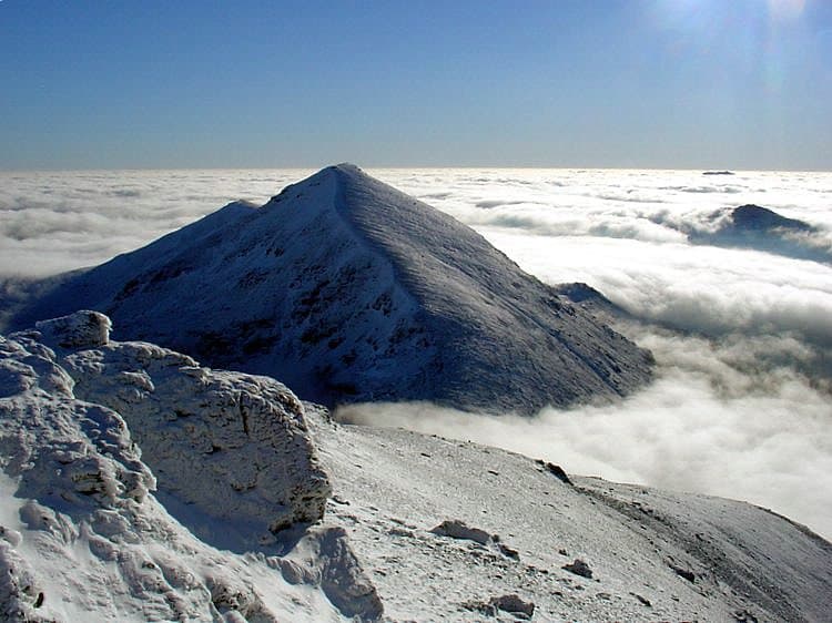
Best for: Photography and forest walksSnow and ice can transform the northern mountains into serious winter terrain. Lower forest trails and lochside routes offer less technical alternatives.
Best for: Experienced mountaineers and lower-level walksTrailTrack Favourites
Ten hills chosen by TrailTrack
Continue exploring
From wooded loch shores to the first great mountains of the Highlands, every path leads a little further into the wild.